The best road cycling routes around Snitter
5.0
(5)
474
riders
46
rides
Road cycling around Snitter, a rural village in Northumberland, offers varied terrain suitable for road bikes. The region features mostly paved surfaces, providing routes that range from moderate to difficult. Cyclists can navigate through picturesque landscapes, including challenging climbs and rolling hills, with elevations reaching over 1000 meters on some routes. The area's proximity to the Northumberland National Park provides a backdrop of expansive natural beauty.
Best road cycling routes around Snitter
- The most popular road cycling route is Elsdon…
Last updated: June 28, 2026
18
riders
69.3km
03:19
970m
970m
This difficult 43.1-mile road cycling loop from Rothbury in Northumberland National Park offers stunning views and significant elevation gai
86.8km
04:33
1,150m
1,150m
A difficult 53.9-mile road cycling loop from Rothbury through Northumberland National Park, featuring 3772 feet of elevation gain.

Sign up for free
83
riders
45.7km
02:16
730m
730m
Moderate road ride. Good fitness required. Mostly well-paved surfaces and easy to ride.
40
riders
72.5km
04:00
1,000m
1,000m
Hard road ride. Very good fitness required. Mostly well-paved surfaces and easy to ride.
5.0
(1)
42
riders
39.2km
01:48
470m
480m
Moderate road ride. Good fitness required. Mostly well-paved surfaces and easy to ride.
Get access to more routes and recommendations from other explorers.
Sign up for free
Already have an account?
Our route recommendations are based on thousands of hikes, rides, and runs completed by other people on komoot.
Start today with a free account
Your next adventure awaits.
Login or Signup
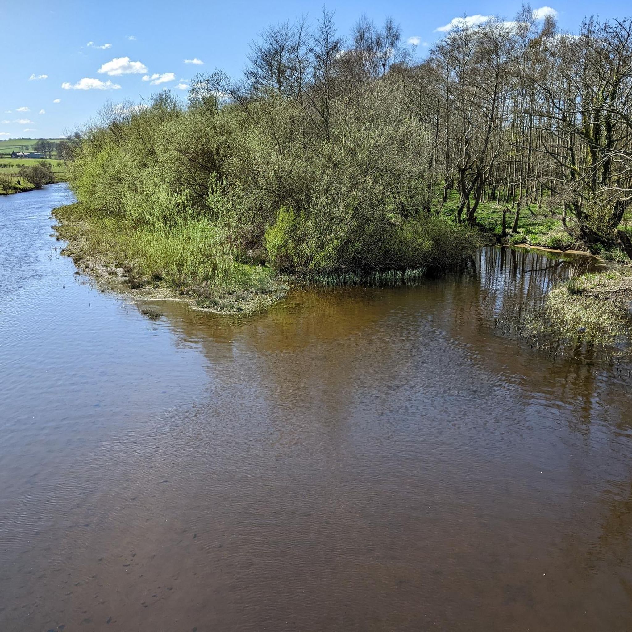
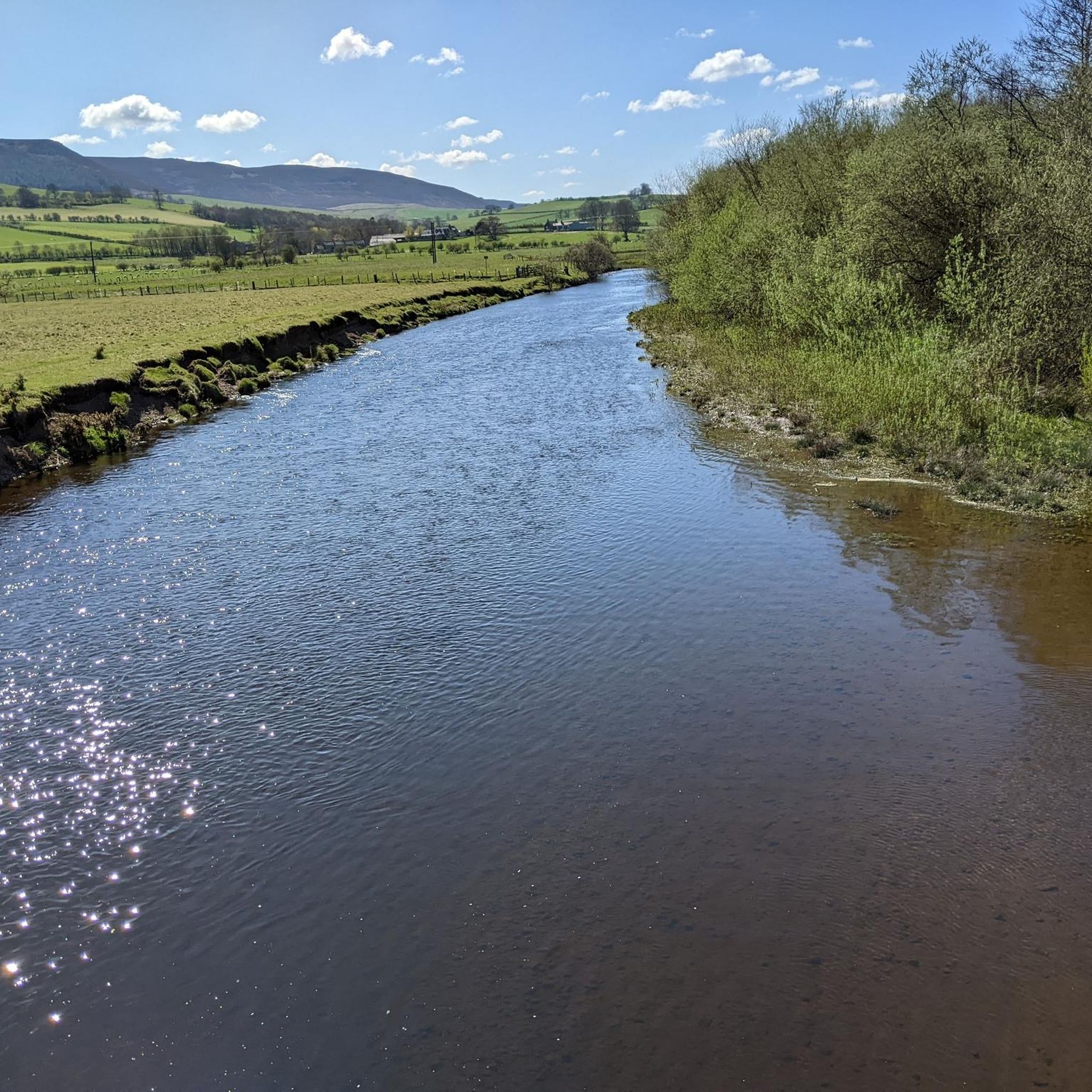
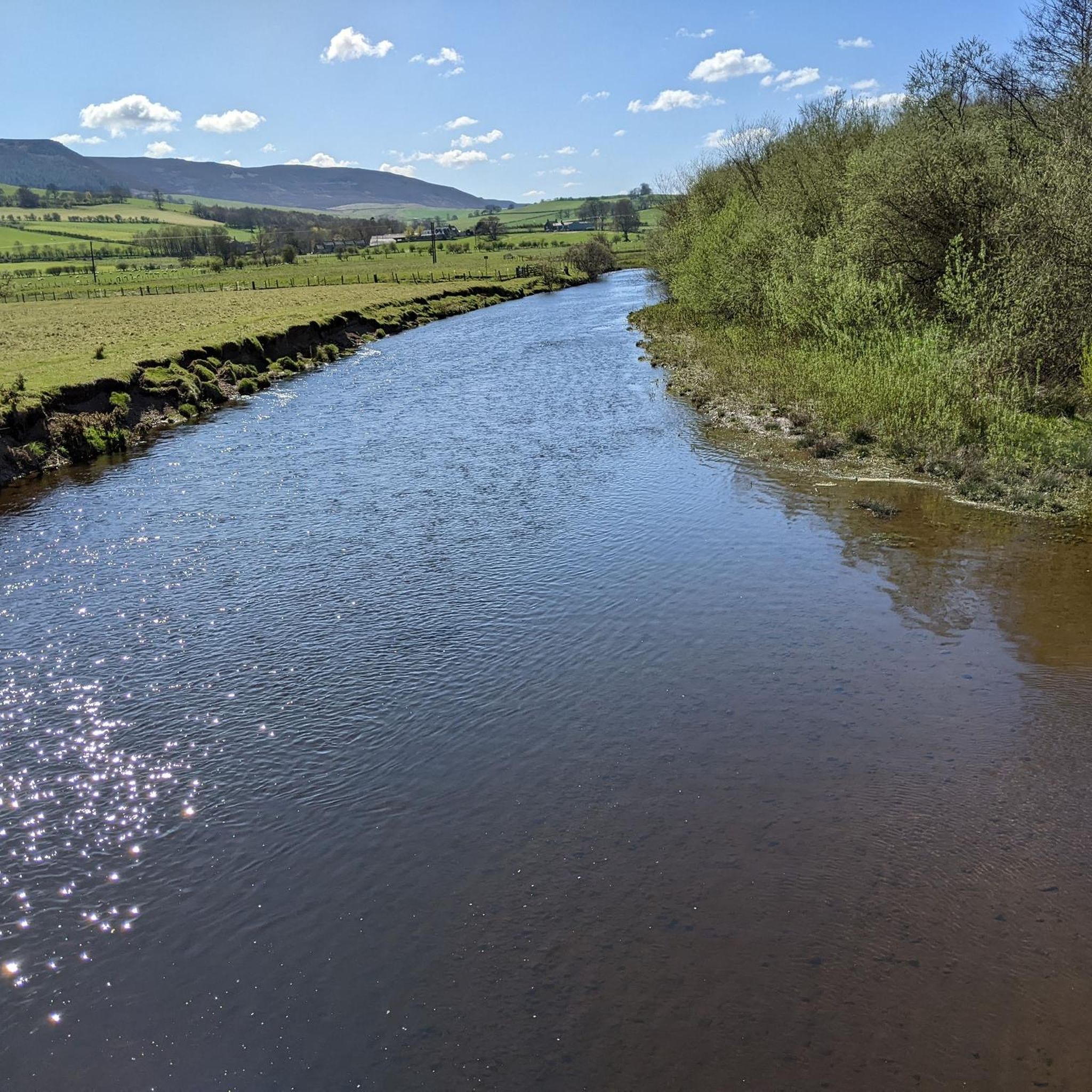
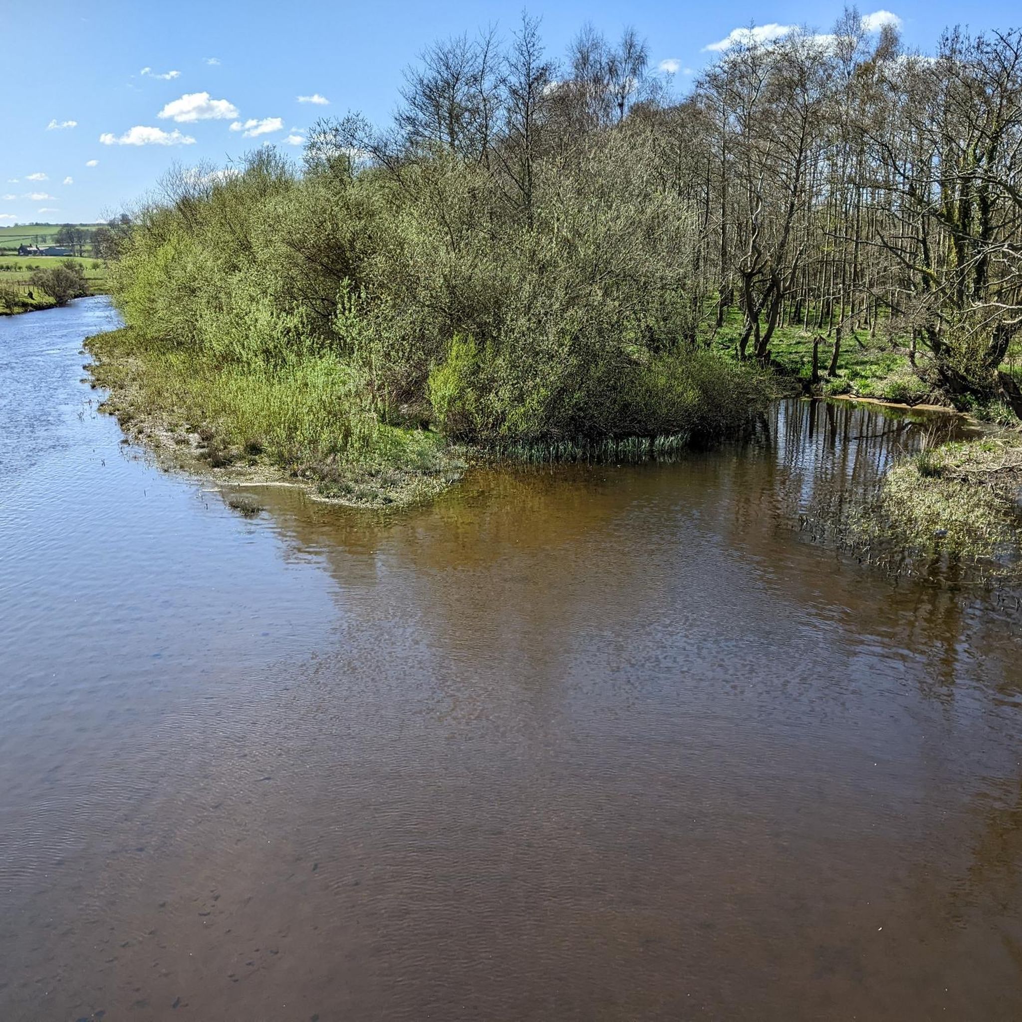

Tips from the Community

Harbottle -Thropton road. Great views either way
0
0
Cracking pub, friendly welcome, good beer and food. Recommend the panuozzo sandwiches
0
0
Scenic route, road surface is variable, the further up the valley, the dodgier some of the tarmac is.
0
0
The climb up at the end of the Coquet valley road is a swine. Steep and twisty but fairly short and more downhill towards Elsdon than if heading North. Great roads when they're open and you'll be unlucky to encouner a car. Bear in mind that the military sheep might not move for you !
0
0
Classic Northumberland road climb, even if it does have a descent in it. Ramp near the start in Elsdon is the hardest bit. Get lucky with a tailwind and fly down eastwards past Harwood Forest
0
0
Pretty bleak place to meet your end. If on the road, can also be pretty bleak with a rainy headwind ! Tailwind when eastward bound though is great
0
0
Frequently Asked Questions
How many road cycling routes are available around Snitter?
There are over 45 road cycling routes around Snitter, offering a variety of experiences for different skill levels. These routes are highly rated by the komoot community, with an average score of 5.0 stars.
What is the general difficulty level of road cycling routes around Snitter?
The road cycling routes around Snitter range from moderate to difficult. You'll find approximately 28 moderate routes and 16 difficult routes, often featuring significant elevation gains and varied terrain. For example, the Elsdon and Netherwitton loop from Rothbury is considered difficult, with nearly 1000 meters of elevation gain.
What kind of terrain can I expect on road cycling routes near Snitter?
Road cycling routes near Snitter primarily feature mostly paved surfaces, making them ideal for road bikes. You can expect picturesque landscapes, including challenging climbs, rolling hills, and expansive natural beauty, particularly as you approach the Northumberland National Park. Some routes may include segments with significant elevation, such as the area around Winter's Gibbet.
What natural landmarks or scenic views can I expect on road cycling routes around Snitter?
Many routes offer great views, especially around the Simonside Hills. You might encounter highlights such as Simonside Summit, Simonside Crag, or the View from Dove Crag. The region also features picturesque rivers and forests, providing a diverse backdrop for your ride.
Are there any historical sites or castles accessible by road bike near Snitter?
While Snitter itself is a rural village, the wider Northumberland region is rich in history. Cyclists can explore routes that pass near historic castles like Alnwick Castle or the ruins of Harbottle Castle. The dramatic coastline, with sites like Dunstanburgh Castle, is also accessible for longer rides, offering a blend of natural beauty and historical interest.
Are there any circular road cycling routes available around Snitter?
Yes, many of the routes around Snitter are designed as loops, offering circular journeys. Examples include the Otterburn & Bellingham loop from Rothbury, which is a challenging 53.9-mile ride, and the Winter's Gibbet – Winter's Gibbet loop from Rothbury, a 28.4-mile route known for its climbs.
What is the best time of year for road cycling around Snitter?
The region experiences a temperate maritime climate. While cycling is possible year-round, the relatively cool summers offer pleasant conditions for longer rides. Spring and autumn can also be excellent, with vibrant landscapes, though winters are typically mild and wet. Always check local weather forecasts before heading out.
Where can I find parking for road cycling routes around Snitter?
Many cycling routes originate around Rothbury Village Centre, which is near Snitter. Parking facilities are typically available in and around Rothbury, serving as convenient starting points for various loops. It's advisable to check specific parking options for your chosen route beforehand.
Are there cafes or pubs along the road cycling routes for refreshments?
Yes, the area around Snitter, particularly in nearby villages like Rothbury, offers cafes and pubs where cyclists can stop for refreshments. These establishments provide opportunities to refuel and rest during your ride, especially after tackling some of the region's challenging climbs.
Is public transport available to reach the cycling routes around Snitter?
Public transport options to Snitter itself may be limited due to its rural nature. However, nearby larger villages like Rothbury, which serve as common starting points for many cycling routes, may have more accessible public transport links. It's recommended to research specific bus routes or services if you plan to use public transport to access the cycling areas.
Are there family-friendly road cycling routes near Snitter?
While many routes around Snitter are moderate to difficult with significant elevation, there are some easier options available. For family-friendly cycling, look for routes with less elevation gain and shorter distances. It's always best to review the route details, including distance and elevation, to ensure it's suitable for all family members.
Are dogs allowed on road cycling routes around Snitter?
Road cycling routes around Snitter primarily use public roads. Dogs are generally permitted on these routes, provided they are kept under control, typically on a lead or in a suitable carrier if they are not cycling independently. Always be mindful of traffic and other road users.
What do other road cyclists enjoy the most about road cycling in Snitter?
The area is highly rated by the komoot community, with an average score of 5.0 stars from over 5 reviews. Reviewers often praise the picturesque landscapes, varied terrain, and the challenge of the climbs, particularly around areas like Winter's Gibbet. The extensive riding through the Northumberland countryside is a significant draw.
Most popular attractions around Snitter

Get inspired with the komoot mobile app


Explore more
Browse the best Road cycling routes in other regions.
