The best walks and hikes around Longhirst
4.3
(390)
3,474
hikers
191
hikes
Hiking around Longhirst offers access to a network of trails through varied landscapes in Northumberland. The region is characterized by gentle river valleys, such as the River Wansbeck, and features areas of established woodland. Hikers can explore paths that lead past historical structures like viaducts and wells, as well as through natural areas including coastal dunes and managed forests. The terrain generally presents moderate elevation changes, suitable for a range of hiking experiences.
Best hiking trails around Longhirst
- The most popular hiking route is Bothal Viaduct – Jubilee Well (1887) loop from Pegswood, an 8.3 miles (13.4 km) trail that takes 3 hours 29 minutes to complete, offering views of the viaduct and historical landmarks.
- Another top favourite among local hikers is Jubilee Well (1887) – Bothal Viaduct loop from Pegswood, a moderate 4.9 miles (8.0 km) path. This route features riverside sections and passes by the historic Jubilee Well.
- Local hikers also love the Butterfield Woods Entrance – Bluebell Wood loop from Morpeth, a 2.6 miles (4.2 km) trail leading through woodlands, often completed in about 1 hour 7 minutes.
- Hiking around Longhirst is defined by river valleys, established woodlands, and coastal paths. The network offers options for different ability levels, from easy strolls to moderate excursions.
- The routes in Longhirst are highly rated by the komoot community with an average score of 4.4 stars from over 300 reviews. More than 3000 hikers have used komoot to explore Longhirst's varied terrain.
Last updated: October 12, 2026
4.4
(61)
200
hikers
13.4km
03:30
100m
100m
Moderate hike. Good fitness required. Easily-accessible paths. Suitable for all skill levels.
3.8
(9)
28
hikers
7.96km
02:05
60m
60m
Moderate hike. Good fitness required. Easily-accessible paths. Suitable for all skill levels.

3.0
(1)
19
hikers
4.18km
01:07
50m
50m
Easy hike. Great for any fitness level. Easily-accessible paths. Suitable for all skill levels.
4.0
(1)
9
hikers
10.8km
02:48
50m
50m
Moderate hike. Good fitness required. Easily-accessible paths. Suitable for all skill levels.
3.0
(1)
7
hikers
3.70km
01:00
50m
50m
Easy hike. Great for any fitness level. Easily-accessible paths. Suitable for all skill levels.
Get access to more routes and recommendations from other explorers.
Already have an account?
Our route recommendations are based on thousands of hikes, rides, and runs completed by other people on komoot.
Start today with a free account
Your next adventure awaits.

Tips from the Community

It’s nice in spring with the fruit trees and flowers
0
0

Wear good quality boots or shoes the terrain can be uneven and/waterlogged
0
0

The Bothal Viaduct, also known as Pegswood Viaduct, is one of two railway bridges over the Wansbeck. It was built between 1849 and 1850 to replace the original timber trestle bridge. The footpath passes right under the bridge, allowing you to admire the impressive structure from every angle.
2
0
The shield is part of the remains of a 14th-century chapel known as the Lady Chapel. It's believed to have been constructed by the 1st Baron Ogle Robert, the owner of Bothal Castle.
1
0

On March 9, 1874, James Brown and his sons were making their way back to Cresswell after a fishing excursion. With land in view, a severe squall overturned their coble, tragically claiming the lives of all four fishermen. In response to this devastating incident, a lifeboat house was constructed and inaugurated on August 21, 1875. Operating until its closure in 1944, the lifeboat house saw 58 launches, rescuing a total of 91 lives.
0
0
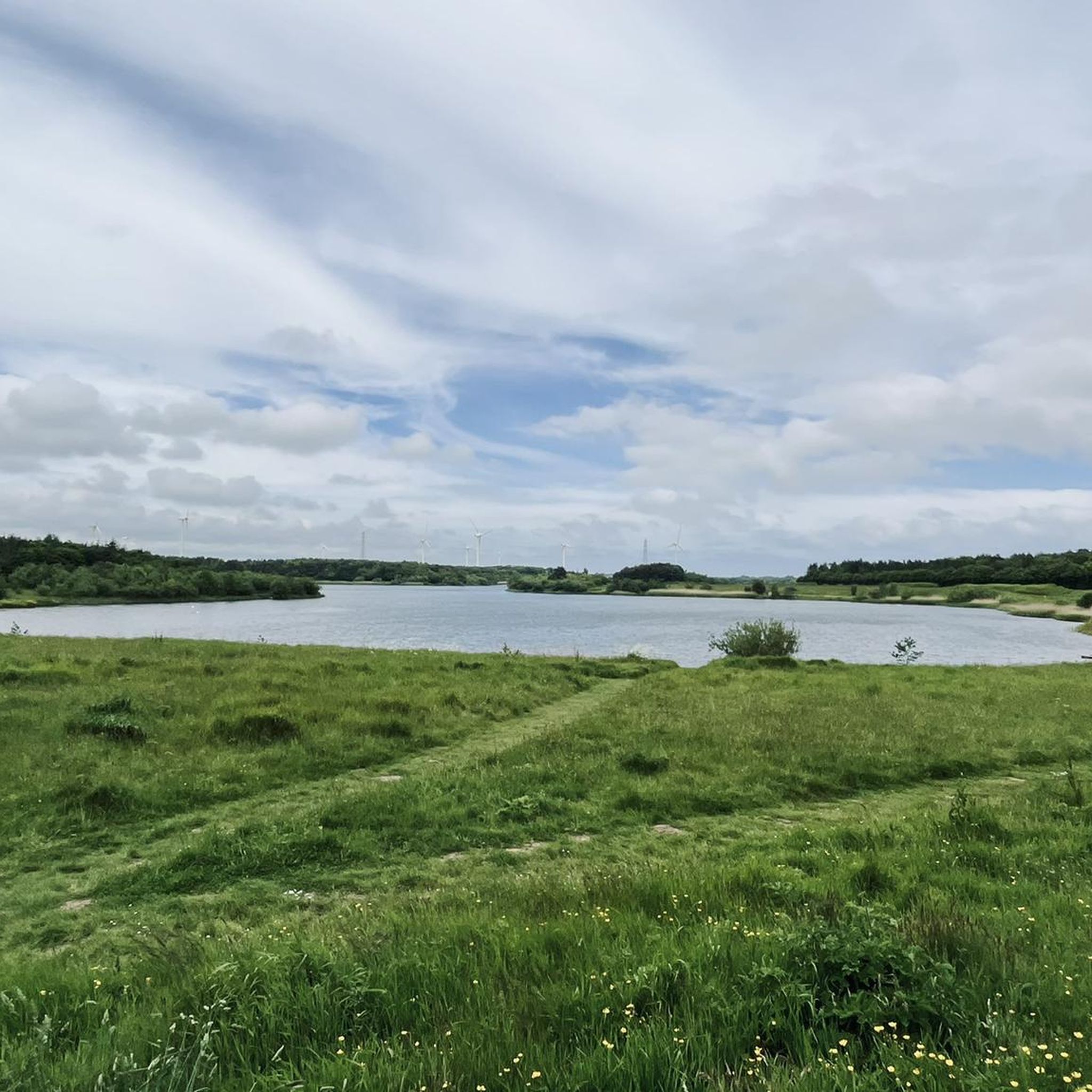
This pond was formed due to subsidence caused by the collapse of old mining works, resulting in a unique brackish water habitat that connects to the sea. This ecological feature makes it an ideal feeding ground for wading birds, particularly during the spring and autumn migrations when rare species are frequently spotted. Notably, avocets nested here in 2011, marking the northernmost location in the UK where they have done so. The pond also serves as a roosting spot for a substantial number of waterfowl, including greylag and pink-footed geese in small numbers.
0
0
Frequently Asked Questions
How many hiking trails are available around Longhirst?
There are over 190 hiking routes in the Longhirst area, offering a wide variety of experiences. These include 116 easy trails, 76 moderate routes, and a few more challenging options for experienced hikers.
What is the typical length and duration of hikes in the Longhirst area?
Hikes around Longhirst vary significantly in length and duration. You can find shorter walks like the Butterfield Woods Entrance – Bluebell Wood loop from Morpeth, which is 2.6 miles (4.2 km) and takes about 1 hour 7 minutes. Longer routes, such as the Bothal Viaduct – Jubilee Well (1887) loop from Pegswood, cover 8.3 miles (13.4 km) and typically require around 3 hours 29 minutes.
Are there easy hiking trails suitable for beginners around Longhirst?
Yes, Longhirst offers many easy trails perfect for beginners or those looking for a relaxed walk. For example, the Butterfield Woods Entrance – St James' Church loop from Morpeth is an easy 2.3-mile (3.7 km) route through pleasant woodlands.
Can I find family-friendly hiking routes near Longhirst?
Many of the easier trails around Longhirst are suitable for families. The region's gentle river valleys and established woodlands provide accessible paths. Look for routes marked as 'easy' on komoot, which often feature minimal elevation gain and shorter distances, ideal for all ages.
Are the hiking trails around Longhirst suitable for dogs?
Generally, the trails around Longhirst are dog-friendly, especially those through woodlands and along river paths. However, always keep dogs under control, particularly near livestock or in nature reserves. It's advisable to check specific route details for any restrictions or requirements.
What points of interest or attractions can I see while hiking around Longhirst?
The Longhirst area is rich in historical and natural attractions. You might encounter historical structures like Bothal Viaduct or the Jubilee Well. Nearby attractions include Druridge Bay Country Park, Bothal Castle, and Queen Elizabeth II Country Park Lake, offering diverse sights from coastal dunes to ancient castles.
Are there many circular hiking routes available in Longhirst?
Yes, circular routes are a popular feature of hiking around Longhirst. Many trails are designed as loops, allowing you to start and end at the same point. Examples include the Jubilee Well (1887) – Bothal Viaduct loop from Pegswood, which offers riverside sections and historical views.
When is the best time of year to go hiking in Longhirst?
The best time to hike in Longhirst is typically from spring through autumn (April to October) when the weather is milder and the landscapes are vibrant. Spring brings wildflowers, while autumn offers beautiful foliage. Summer provides longer daylight hours, though trails can be busier.
What kind of gear and clothing should I bring for hiking in Longhirst?
For hiking in Longhirst, it's recommended to wear comfortable, layered clothing suitable for varying weather conditions, as Northumberland weather can be unpredictable. Sturdy hiking boots are essential, especially for trails that may be muddy or uneven. Always carry water, snacks, and a map or GPS device.
Are there any suitable hiking options during winter in Longhirst?
Yes, some trails around Longhirst remain accessible in winter, particularly those on lower ground or through woodlands. However, conditions can be muddy or icy, so appropriate footwear and caution are advised. Coastal paths, like the Cresswell Dunes – The Drift Café loop from Ellington, can offer bracing walks with unique winter scenery.
What do other hikers enjoy the most about hiking in Longhirst?
The hiking experiences in Longhirst are highly rated by the komoot community, with an average score of 4.4 stars. Hikers often praise the varied terrain, from gentle river valleys to established woodlands and coastal paths, as well as the well-maintained trails and the opportunity to explore historical landmarks.
Is parking available at the trailheads around Longhirst?
Parking availability varies by trailhead. Many popular starting points for hikes around Longhirst, especially near villages or attractions, offer designated parking areas. It's always a good idea to check the specific route details on komoot for information on parking facilities before you set out.
Most popular attractions around Longhirst

Get inspired with the komoot mobile app


Explore more
Browse the best Hikes in other regions.
