The best road cycling routes around Chollerton
4.9
(68)
2,509
riders
194
rides
Road cycling routes around Chollerton traverse the rural North Tyne Valley in Northumberland, characterized by picturesque countryside and the River North Tyne. The landscape features rolling terrain with varying elevation gains, including the dramatic Whin Sill outcrop. Most routes are on paved surfaces, offering diverse options for road cyclists. The area provides a network of roads suitable for different fitness levels.
Best road cycling routes around Chollerton
- The most popular road cycling route is Stamfordham Village Green – The Ryals…
Last updated: July 12, 2026
5.0
(1)
73
riders
39.1km
01:51
370m
370m
Moderate road ride. Good fitness required. Mostly well-paved surfaces and easy to ride.
20
riders
76.0km
03:38
790m
790m
Moderate road ride. Good fitness required. Mostly well-paved surfaces and easy to ride.

Sign up for free
15
riders
58.8km
02:36
550m
550m
Moderate road ride. Good fitness required. Mostly well-paved surfaces and easy to ride.
6
riders
58.3km
03:27
760m
760m
Moderate road ride. Good fitness required. Mostly well-paved surfaces and easy to ride.
3
riders
55.1km
02:46
540m
540m
Moderate road ride. Good fitness required. Mostly well-paved surfaces and easy to ride.
Get access to more routes and recommendations from other explorers.
Sign up for free
Already have an account?
Our route recommendations are based on thousands of hikes, rides, and runs completed by other people on komoot.
Start today with a free account
Your next adventure awaits.
Login or Signup
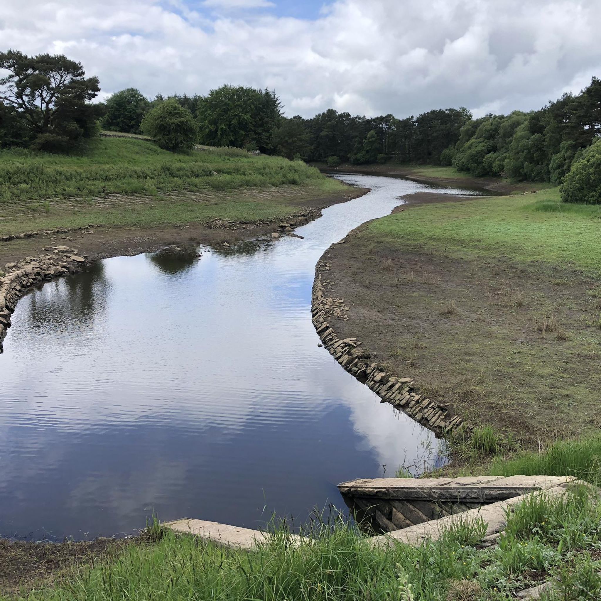
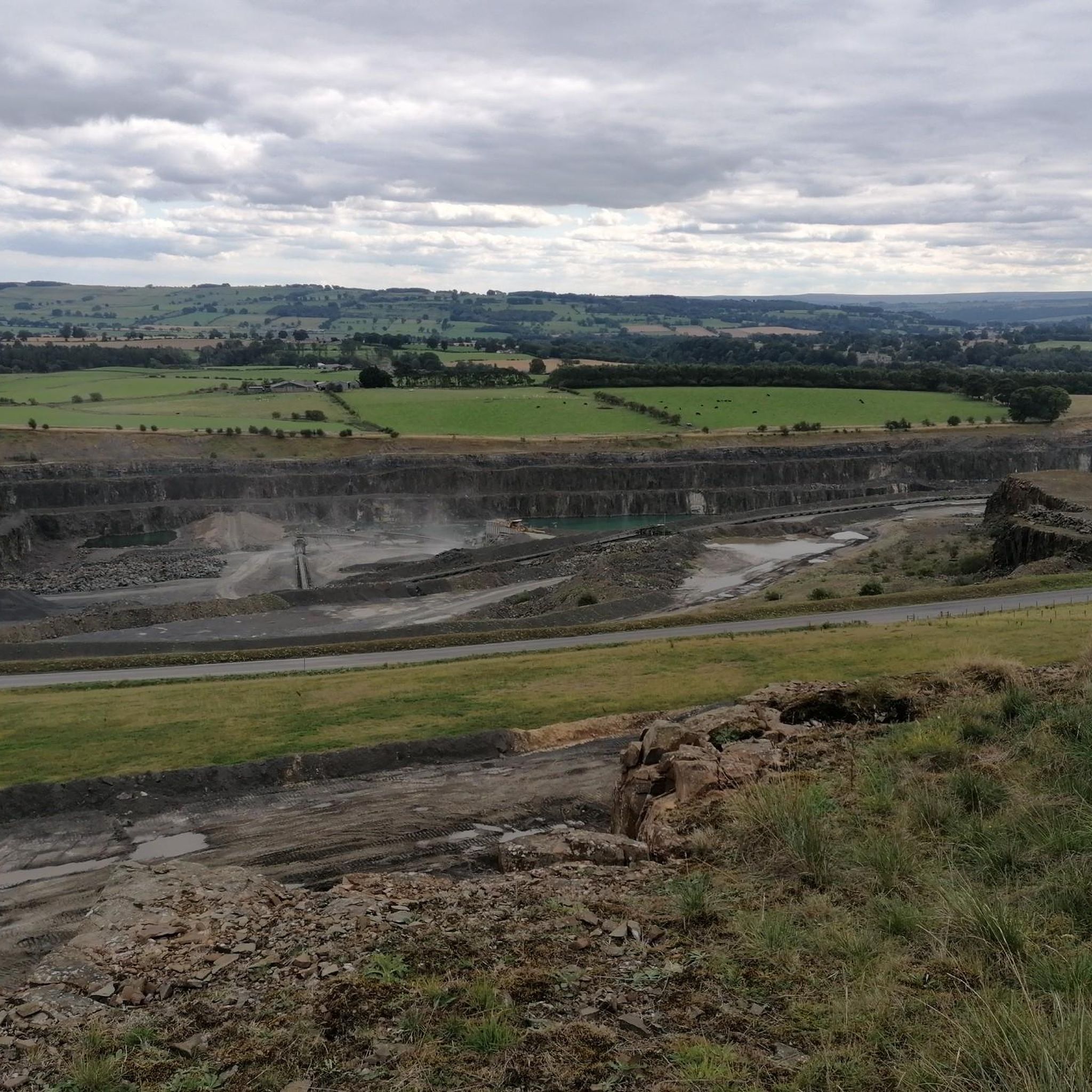

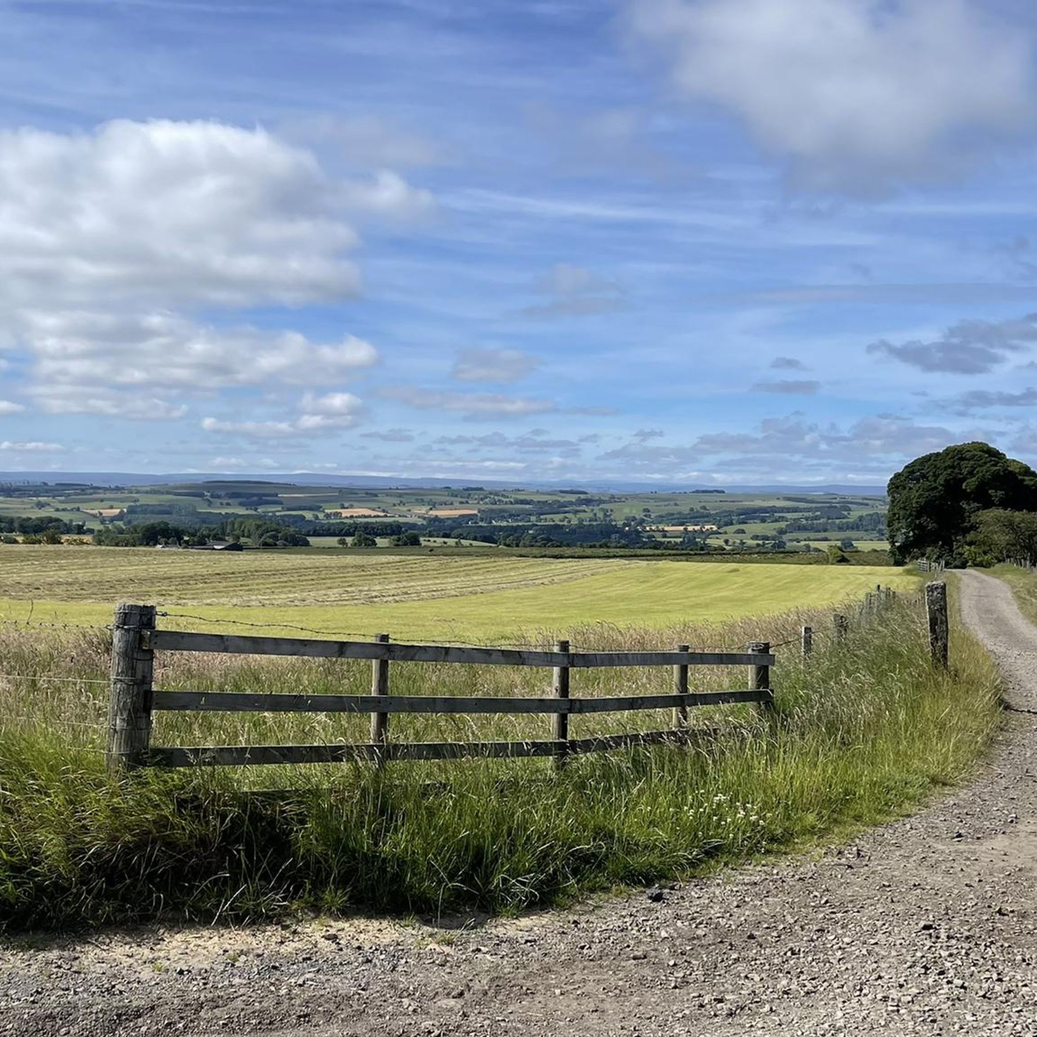
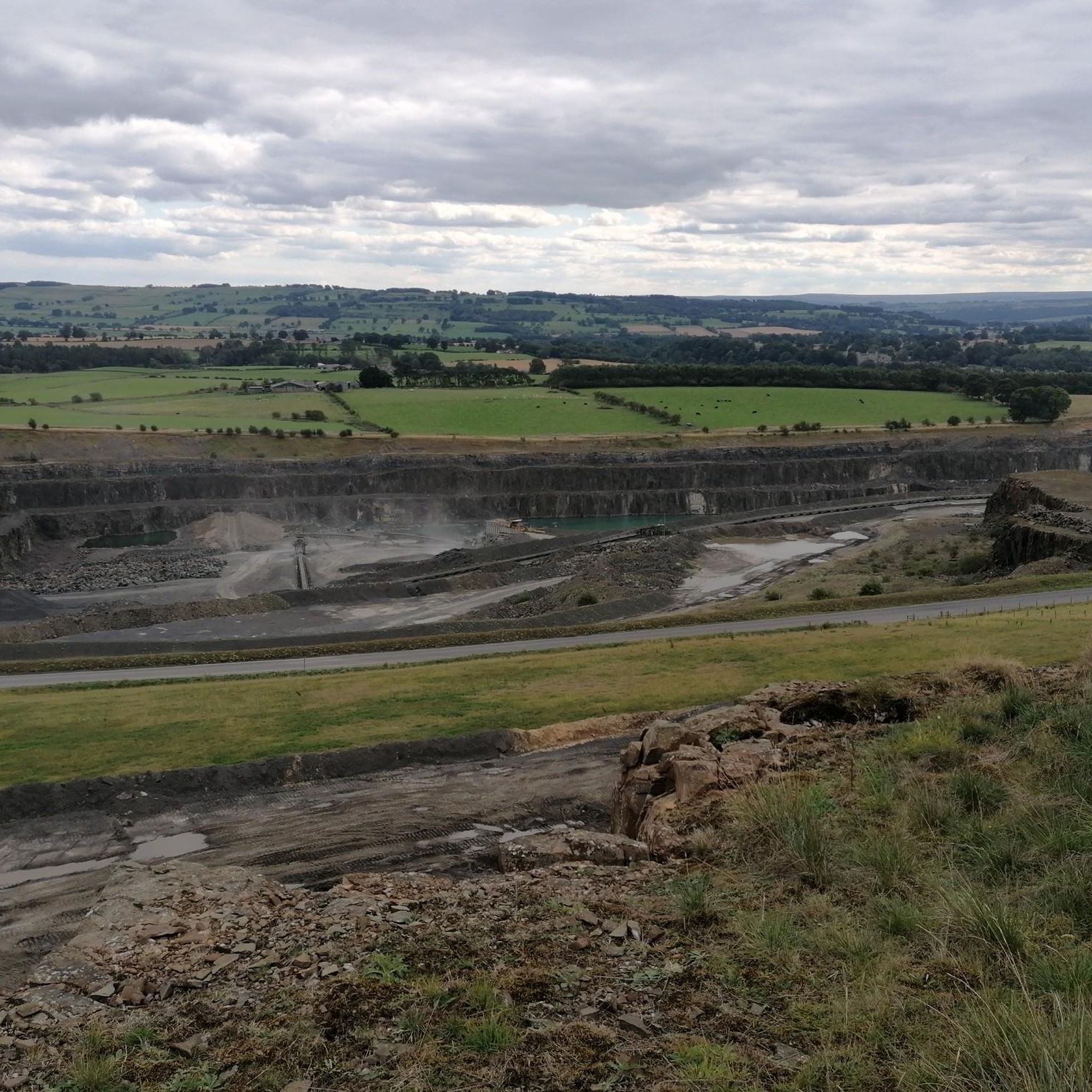
Tips from the Community

Great descent, not so fun the other way. There's a bit of a false flat drag towards the base from Colwell, then the two ramps up. Part of the Beaumont Trophy road race, which has run for about 70 years
0
0
Lovely village and central to a lot of historical road racing/club runs in Northumberland
0
0
Recently resurfaced which was good as it was poor. Lots of very minor side road options
0
0

The Tower Knowe Visitor Centre, run by Kielder Water & Forest Park, is an information center and café on the banks of Kielder Water. The café is a great place to refuel if you're walking the 42-kilometer Lakeside Way, or a good starting and finishing point for a shorter run. The café is open from 11:00 AM to 5:00 PM, with food served from 11:00 AM to 4:00 PM.
8
0
Bellingham Bridge is a distinctive stone arch bridge over the River North Tyne, believed to have been built in the 19th century and a Grade II listed structure since 1985. Part of the Reivers Route, it provides a tranquil passage with beautiful views of the flowing water and the surrounding countryside.
11
0
Tea on the Train in Bellingham is a unique stopover for cyclists: this tearoom, housed in a historic high-speed train carriage in Station Yard, serves delicious homemade pastries, savory snacks, and refined afternoon tea. The cozy retro setting and welcoming atmosphere make it the perfect spot to catch your breath during a ride through the rolling Northumberland countryside. April to October: Daily, 10:00 AM to 4:00 PM November to March: Daily, 10:30 AM to 3:30 PM
10
0
Frequently Asked Questions
How many road cycling routes are available around Chollerton?
There are over 190 road cycling routes around Chollerton, offering a wide range of options for different abilities and preferences. The komoot community has explored these routes extensively, with over 2,500 road cyclists using komoot to discover the area.
What kind of terrain can I expect on road cycling routes in Chollerton?
The road cycling routes in Chollerton traverse the rural North Tyne Valley, characterized by picturesque countryside and the River North Tyne. You can expect rolling terrain with varying elevation gains, including areas around the dramatic Whin Sill outcrop. Most routes are on paved surfaces, making them ideal for road cycling.
Are there any easy road cycling routes suitable for beginners in Chollerton?
Yes, Chollerton offers a selection of easier road cycling routes. Out of the nearly 200 routes, 35 are categorized as easy, providing gentler rides through the scenic landscape. These routes are perfect for those new to road cycling or looking for a more relaxed experience.
Can I find challenging road cycling routes with significant climbs in Chollerton?
Absolutely. For experienced road cyclists seeking a challenge, Chollerton provides routes with significant elevation gains. For example, the Wark Bridge – Bellingham Bridge loop from Chollerton covers 47.2 miles with over 780 meters of ascent, offering a demanding ride through the valley.
What historical landmarks can I see while road cycling near Chollerton?
The region around Chollerton is rich in history, particularly Roman heritage. You can cycle past sites like Black Carts Turret (Hadrian's Wall), which is part of the UNESCO World Heritage Site. Other nearby historical attractions include Chesters Roman Fort and St. Oswald's Church at Heavenfield, marking the site of a historic battle.
Are there any natural attractions or scenic viewpoints along the cycling routes?
Yes, the area boasts several natural attractions and scenic viewpoints. The Chollerford Bridge Over the River North Tyne offers lovely views. Further afield, you might consider a detour to Hareshaw Linn Waterfall, a beautiful natural feature within a Site of Special Scientific Interest, known for its rare ferns and diverse wildlife.
Are the road cycling routes around Chollerton suitable for families?
While many routes are on quiet country roads, the suitability for families depends on the route's difficulty and traffic levels. There are 35 easy routes available, which might be more appropriate for families with older children or those comfortable with road cycling. Always check the specific route details for elevation and road conditions.
What are the options for parking when road cycling in Chollerton?
Chollerton is a rural area, and parking options typically include village car parks or designated parking areas near popular starting points for routes. Given the rural nature, many routes start from villages like Chollerton itself or nearby towns, where parking facilities are usually available.
What is the best time of year to go road cycling in Chollerton?
The best time for road cycling in Chollerton is generally during the spring, summer, and early autumn months (April to October). During these periods, the weather is typically milder, and the days are longer, allowing for more comfortable and extended rides through the scenic North Tyne Valley.
Are there circular road cycling routes available in Chollerton?
Yes, many of the road cycling routes around Chollerton are designed as loops, allowing you to start and finish in the same location. Examples include the Stamfordham Village Green – The Ryals Climb loop from Well House and the The Ryals Climb – Bolam Lake loop from Chollerton, providing convenient circular journeys.
Where can I find cafes or pubs along the road cycling routes in Chollerton?
The rural North Tyne Valley has several villages and towns where you can find cafes and pubs. Hexham, a nearby market town, is a good base with various amenities. Smaller villages along the routes may also offer local establishments. For example, the Wark Bridge – Carriages Tea Room loop from Chollerton suggests a tea room stop, indicating that such amenities are available.
What do other cyclists say about road cycling in Chollerton?
The road cycling experience in Chollerton is highly regarded by the komoot community, with an average rating of 4.9 stars from over 60 reviews. Cyclists often praise the picturesque countryside, the quiet roads of the North Tyne Valley, and the diverse options for different ability levels.
Are there any specific permits required for road cycling in the Chollerton area?
Generally, no specific permits are required for road cycling on public roads in the Chollerton area. However, if any routes pass through private land or specific protected areas, it's always advisable to check local signage or guidelines. The routes primarily utilize public paved surfaces.
Most popular attractions around Chollerton

Get inspired with the komoot mobile app


Explore more
Browse the best Road cycling routes in other regions.
