The 7 Most Amazing Peaks around Marwood
Marwood mountain peaks offer a variety of elevations and landscapes within the North Pennines AONB. The region is characterized by moorland, rocky outcrops, and remnants from the mining industry. Visitors can explore several summits that provide views of the surrounding area, including Teesdale and Weardale. The terrain ranges from accessible hills to intermediate climbs, catering to different activity levels.
Best mountain peaks around Marwood
- The most popular mountain peaks is Kirkcarrion Bronze Age Burial Mound, a natural monument that…
Last updated: August 27, 2026
Kirkcarrion Bronze Age Burial Mound
Highlight • Natural Monument
Tip by

Monks Moor Summit Trig Point
Highlight • Natural Monument
Tip by

Sign up now to discover places like this
Get recommendations on the best single tracks, peaks, & plenty of other exciting outdoor places.
Sign up for free
Five Pikes Summit Trig Point
Highlight • Natural Monument
Tip by

Citron Seat Trig Point
Highlight • Viewpoint
Tip by

Raven Seat Summit
Highlight • Summit
TP5589 - Raven Seat S4235
North Pennines National Landscape Definitive List summit.
County Durham Definitive List summit
Tip by

Sign up for free to discover even more peaks around Marwood.
Sign up for free
Already have an account?
Start today with a free account
Your next adventure awaits.
Login or Signup
Tips from the Community

Raven Seat 589.02m P15.4 (1932ft) TP5589 - Raven Seat S4235 North Pennines National Landscape Definitive List summit. County Durham Definitive List summit
0
0

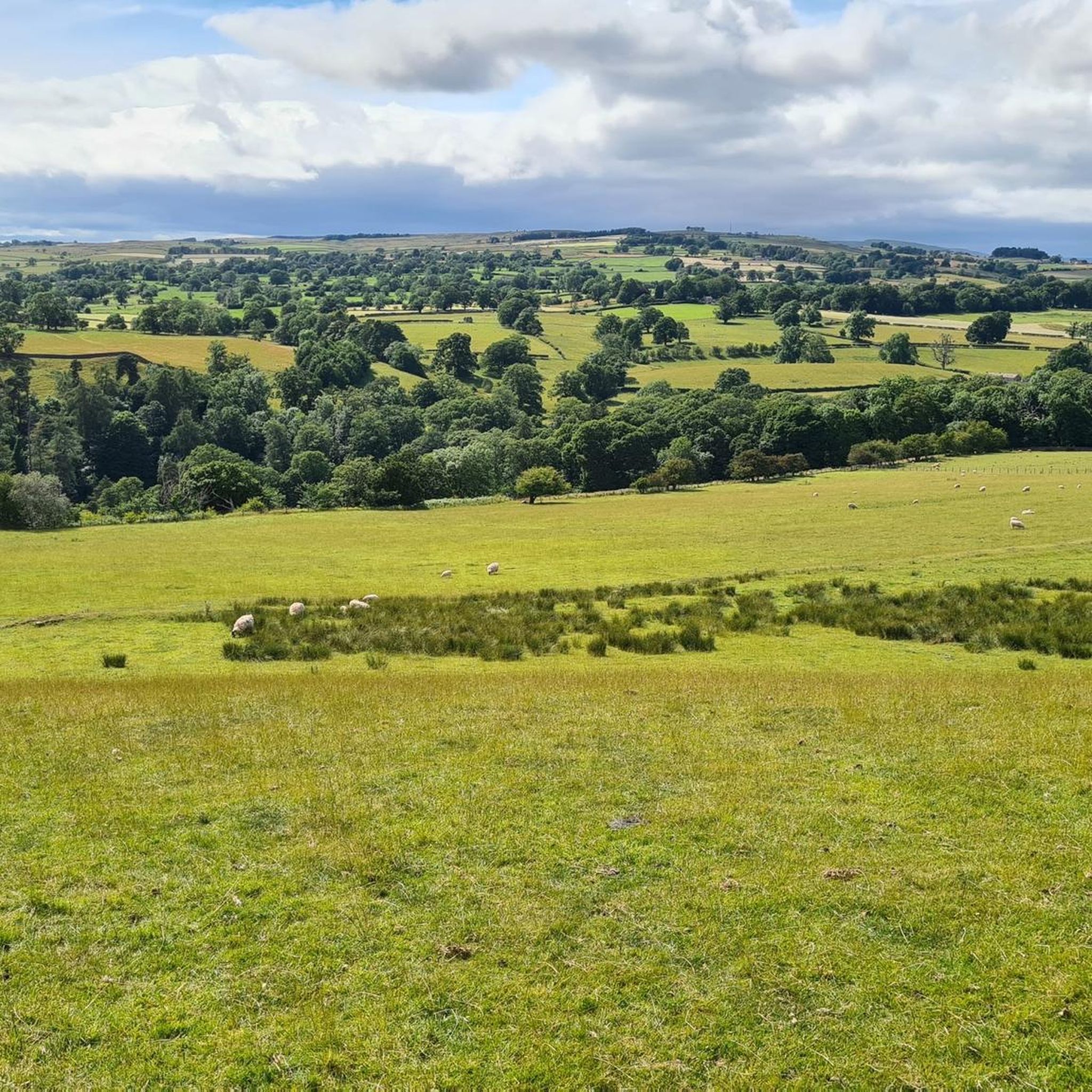
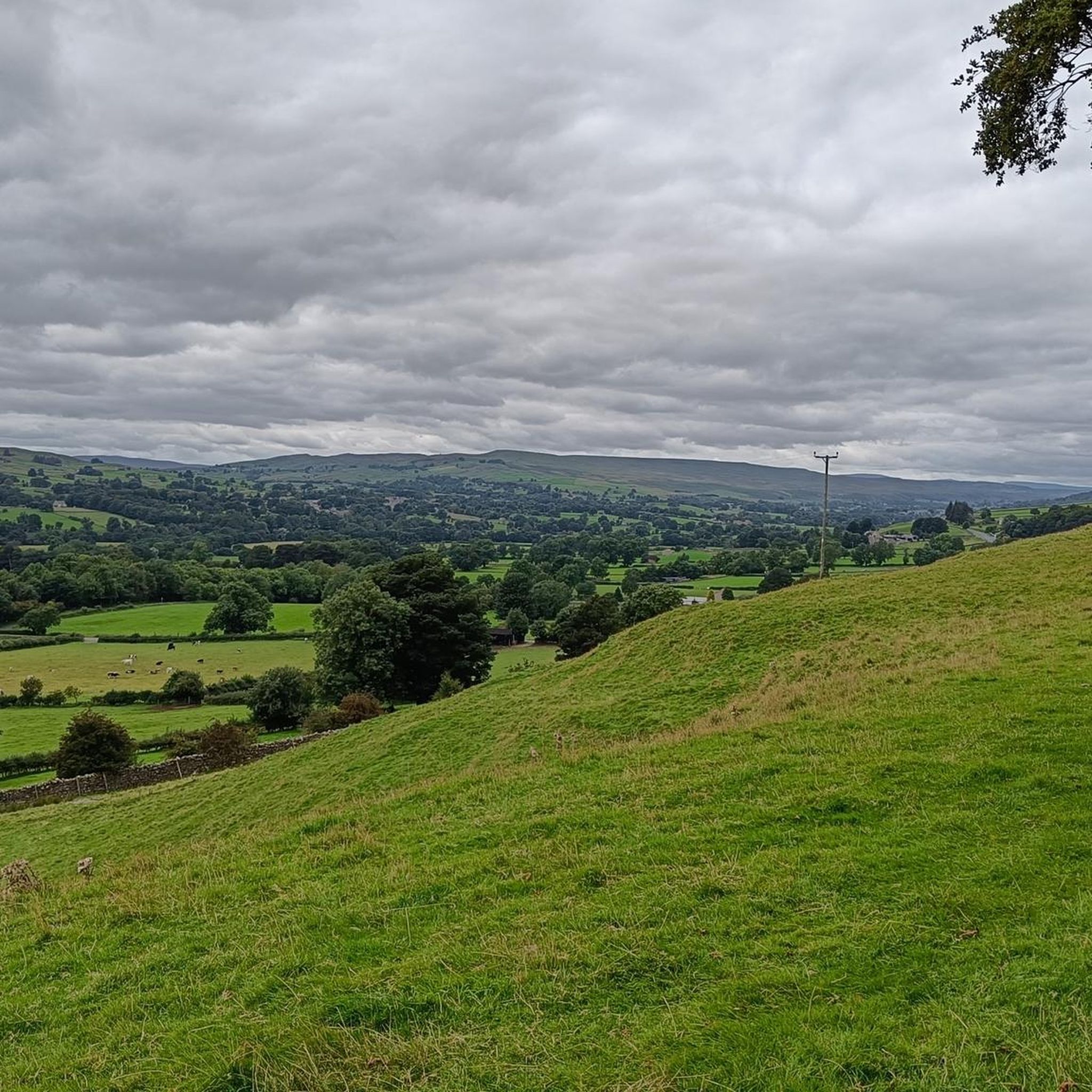
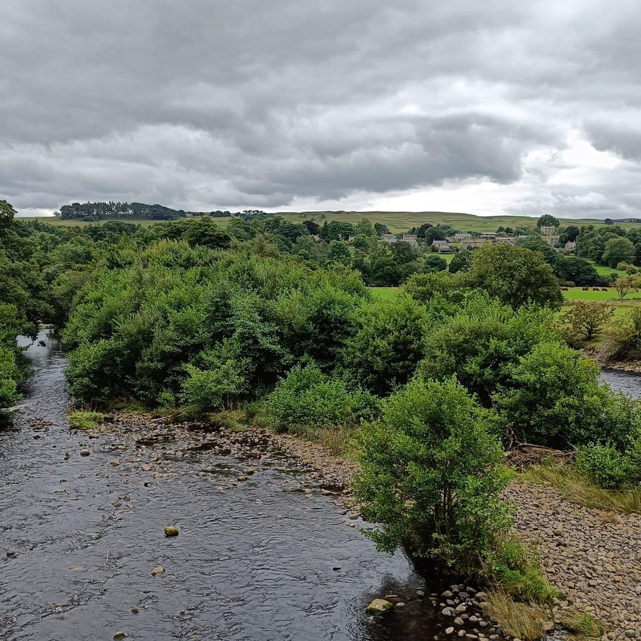
With an altitude of 479 meters, although not very high, from this point, you can enjoy some great views of the moorland surrounding Weardale. What's more, you'll discover another trig point to conquer!
1
0

Excellent views from this not-too-high and not-too-difficult to reach Citron Seat (446m) on Gilmonby Moor. From here, you will see all the way to Bowes and Barnard Castle (on a clear day, of course), and you should be able to make out Mickle Fell (north of Kirkby Stephen) in the far distance on the horizon where the North Pennines start.
1
0

Kirkcarrion is a copse of pine trees planted on a walled hill above Middleton in Teesdale. The trees were planted in Victorian times on a Bronze Age burial mound. The trail is just off the Pennine Journey trail but worth the detour.
1
0

Monks Moor is a broad hill above Teeside in the North Pennines AONB. It reaches 1,854 feet (565 m) above sea level and its summit is crowned by a trig point. The hill is characterised by remnants from the mining industry, rocky outcrops and is clad in heather, a delightful sight in autumn.
0
0
Frequently Asked Questions
What are the most popular mountain peaks around Marwood?
The Marwood area features several popular peaks. Kirkcarrion Bronze Age Burial Mound is a natural monument with a copse of pine trees on a walled hill, also serving as a historical site. Monks Moor Summit Trig Point offers a broad hill reaching 1,854 feet (565 m) above sea level, marked by a trig point and covered in heather. Another favorite is Five Pikes Summit Trig Point, which provides great moorland views of Weardale from its 479-meter altitude.
Are there family-friendly mountain peaks in the Marwood area?
Yes, several peaks around Marwood are suitable for families. Kirkcarrion Bronze Age Burial Mound is considered family-friendly, offering a mix of nature and history. Five Pikes Summit Trig Point is also noted as family-friendly, providing accessible views of the surrounding moorland.
What kind of views can I expect from the mountain peaks around Marwood?
The mountain peaks in Marwood offer diverse and expansive views of the North Pennines AONB. From Monks Moor Summit Trig Point, you'll see broad moorland vistas. Five Pikes Summit Trig Point provides excellent views of the moorland surrounding Weardale. For far-reaching panoramas, Citron Seat Trig Point (446m) offers views all the way to Bowes and Barnard Castle, and even Mickle Fell on a clear day. Arndale Hill Cairn (516m) boasts extensive 360-degree views of the moors, the North Pennines to the north, and Arkengarthdale to the south.
Are there challenging mountain trails around Marwood?
While many peaks in Marwood offer intermediate climbs, some can be more challenging. For instance, Five Pikes Summit Trig Point is categorized as challenging, despite its moderate altitude, suggesting a more demanding ascent or terrain.
Can I bring my dog on the mountain trails in Marwood?
Yes, several mountain peaks and trails around Marwood are dog-friendly. Both Kirkcarrion Bronze Age Burial Mound and Five Pikes Summit Trig Point are listed as dog-friendly, making them good options for walks with your canine companion.
What historical sites can be found among the mountain peaks?
The region around Marwood has historical significance, particularly evident at Kirkcarrion Bronze Age Burial Mound. This site features a copse of pine trees planted on a walled hill, which is actually a Bronze Age burial mound. Additionally, the area's history includes remnants from the mining industry, which can be observed on hills like Monks Moor Summit Trig Point.
What outdoor activities can I do near the Marwood mountain peaks?
Beyond exploring the peaks themselves, the Marwood area offers various outdoor activities. You can find numerous routes for cycling, including moderate to difficult options like the 52 km "Eppleby & Castle Raby loop from Barnard Castle" or the challenging 78 km "The Tan Hill Inn & Reeth loop from Barnard Castle." For gravel biking, there are routes such as the 19 km "Hamsterley Forest Café – Climb to Polty's Last Blast loop." You can explore these and more on the Cycling around Marwood and Gravel biking around Marwood guide pages.
Are there easy hiking trails near the Marwood mountain peaks?
Yes, there are several easy hiking trails available near the Marwood mountain peaks. For instance, you can enjoy routes like the 7.2 km "Barnard Castle & Egglestone Abbey loop" or the 6 km "Eggleston Abbey – Egglestone Abbey Ruins loop from Barnard Castle." These and other gentle walks are detailed in the Easy hikes around Marwood guide.
What natural features characterize the Marwood mountain peaks?
The mountain peaks around Marwood are primarily characterized by moorland landscapes, rocky outcrops, and distinctive geological formations. Many summits, like Monks Moor Summit Trig Point, are clad in heather, creating a delightful sight, especially in autumn. The area also features natural monuments and trig points marking various summits, offering unique points of interest.
What do visitors enjoy most about the mountain peaks around Marwood?
Visitors to Marwood's mountain peaks appreciate the diverse landscapes, from historical burial mounds to trig points on heather-clad moorland hills. The extensive views of Teesdale and Weardale are a major draw, as are the opportunities for both accessible walks and more intermediate climbs. The blend of natural beauty and historical elements, such as the Bronze Age burial mound at Kirkcarrion, makes for a rewarding outdoor experience.
What is a 'trig point' and why are they found on Marwood's peaks?
A 'trig point' (triangulation station) is a concrete pillar used by Ordnance Survey for surveying. They are found on many of Marwood's peaks, such as Monks Moor Summit Trig Point, Five Pikes Summit Trig Point, and Citron Seat Trig Point, because these elevated positions offer clear lines of sight for mapping the landscape. Today, they serve as popular navigational markers and often signify a summit with excellent views.
Most popular attractions around Marwood

Get inspired with the komoot mobile app


Explore more
See even more amazing summits around Marwood with these guides:
