The best road cycling routes around Burnhope
4.4
(96)
5,709
riders
430
rides
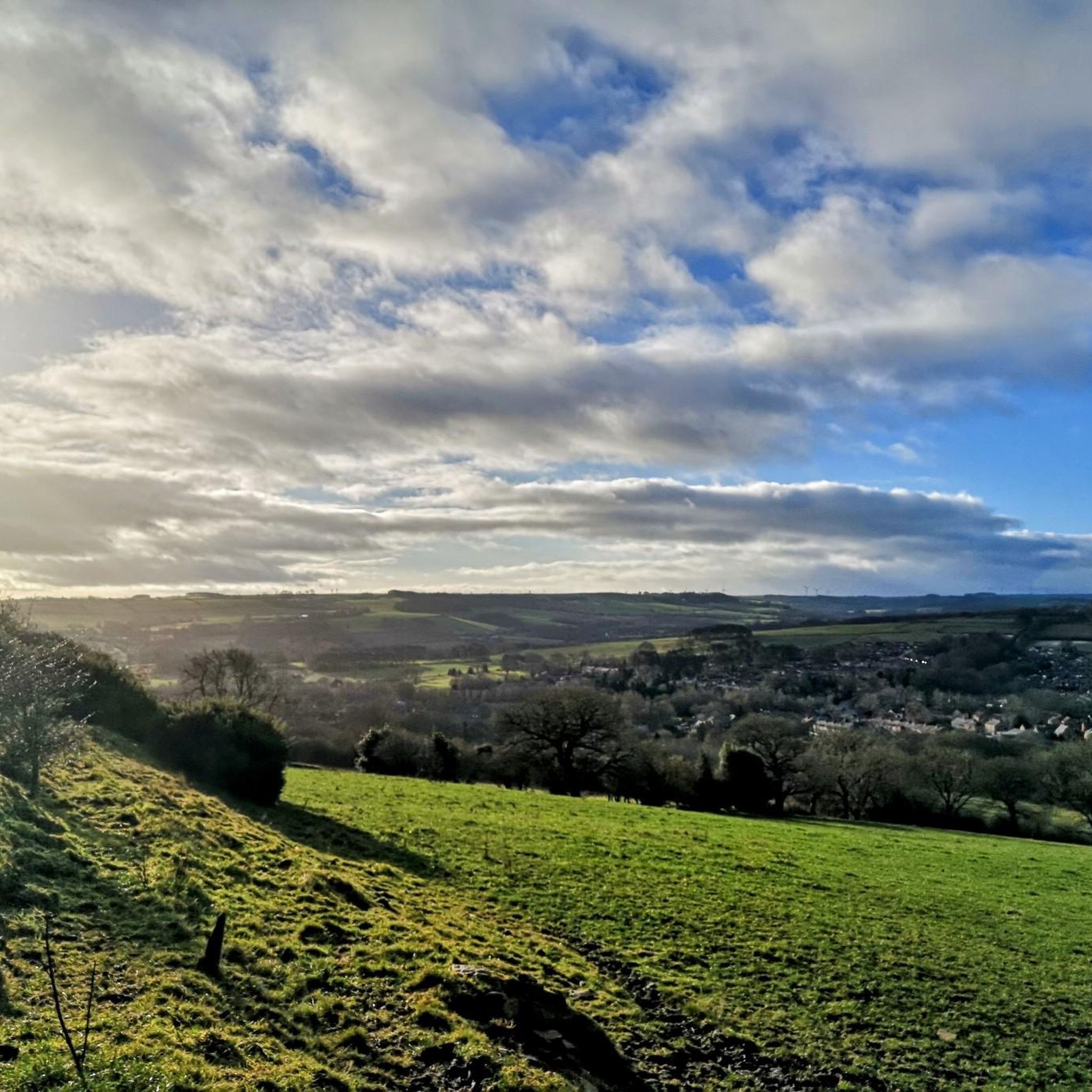
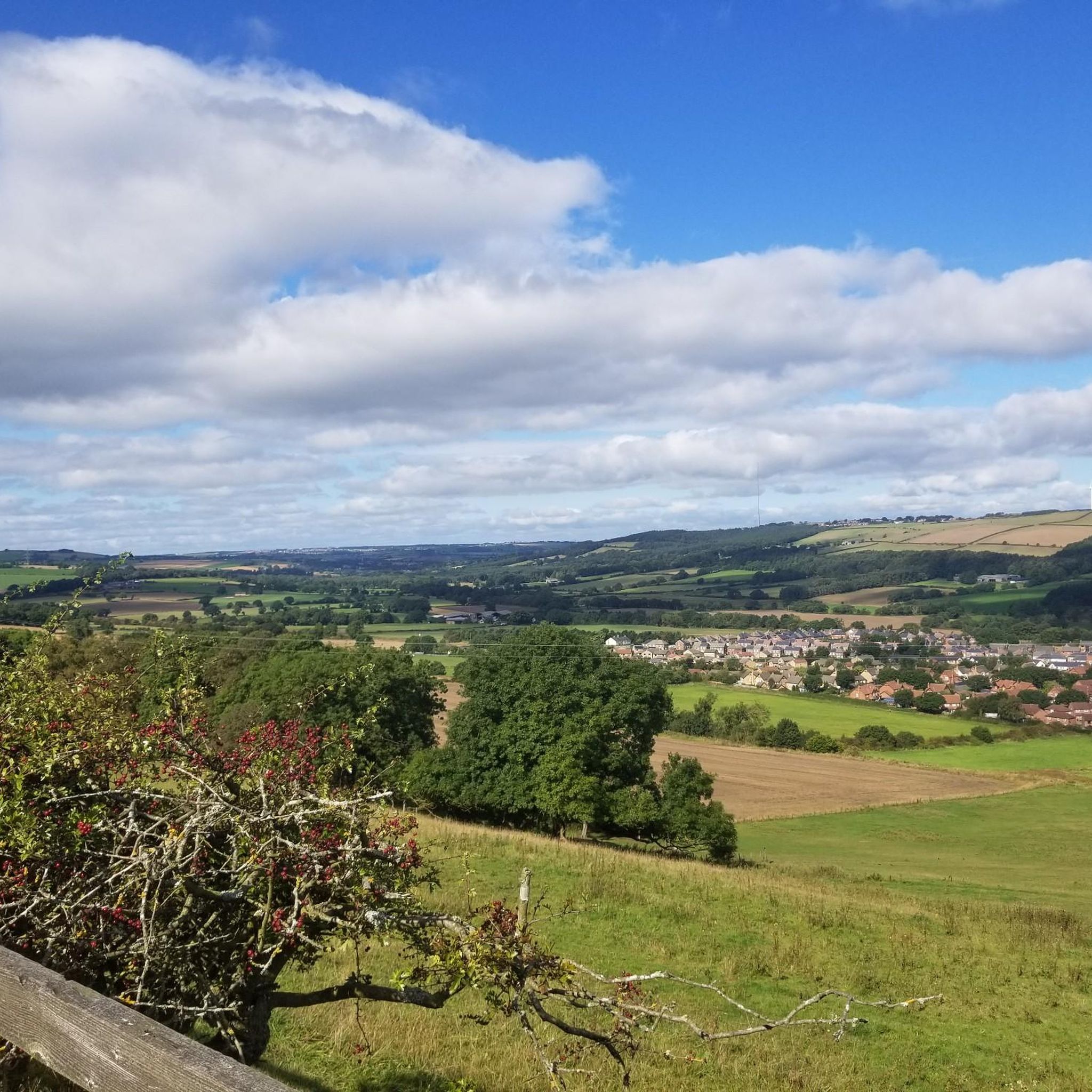
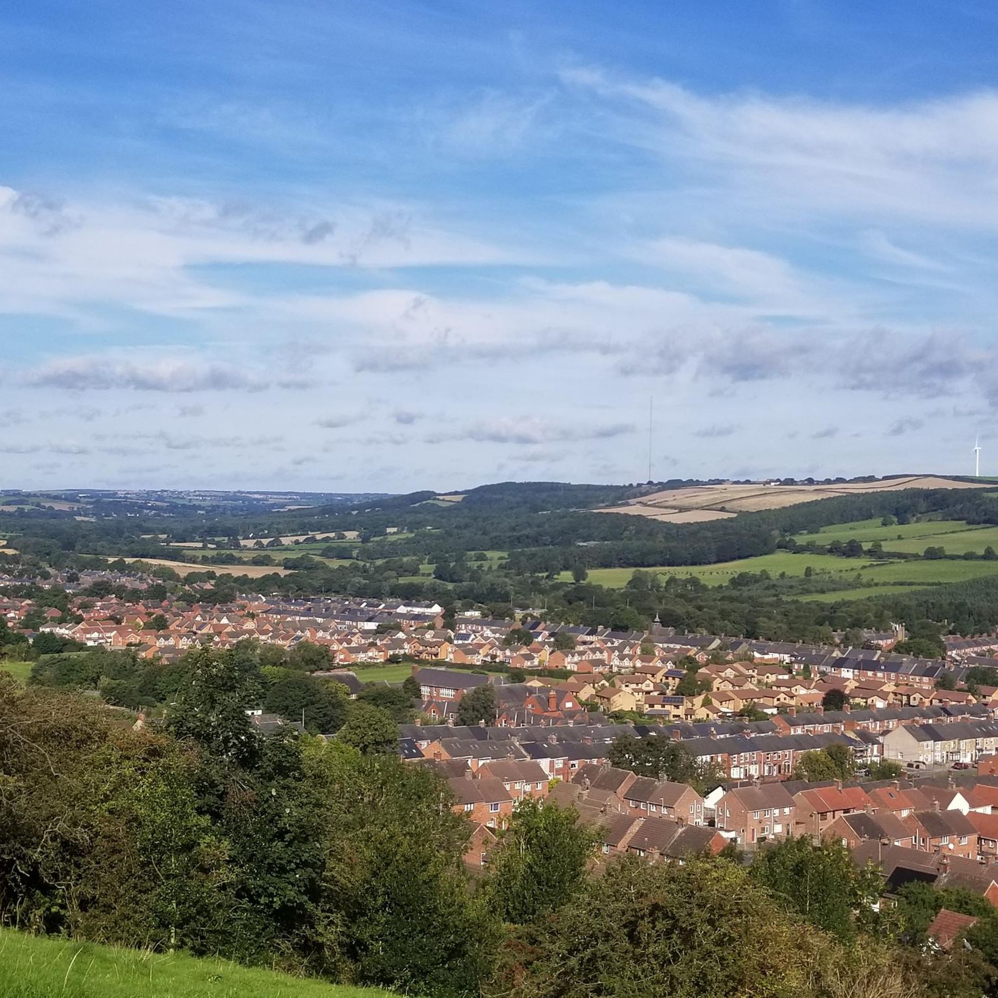
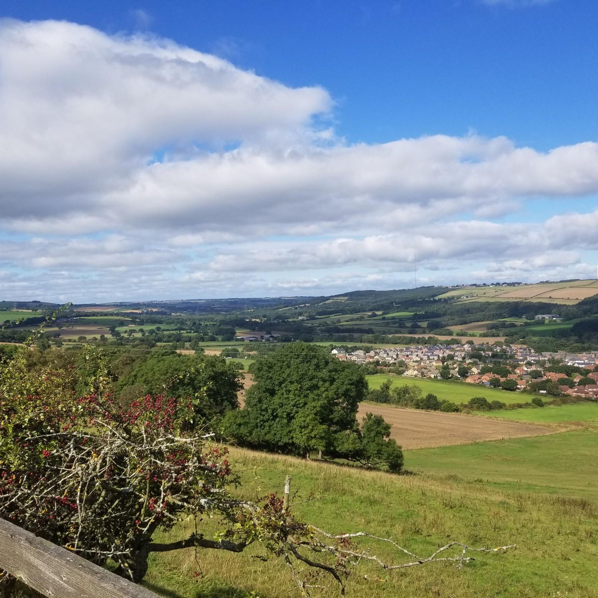
Road cycling around Burnhope offers routes through County Durham's varied terrain, characterized by rolling hills and scenic valleys. The region is situated in the Craghead valley, overlooking the picturesque Browney Valley, and provides access to the broader North Pennines National Landscape. Cyclists can navigate a network of quiet lanes and roads that traverse this landscape, which includes both challenging ascents and gentler sections.
Best road cycling routes around Burnhope
- The most popular road cycling route is Terris Novalis Sculptures –…
Last updated: July 11, 2026
94
riders
35.4km
02:00
360m
360m
Moderate road ride. Good fitness required. Some segments of this route may be unpaved and difficult to ride.
33
riders
35.7km
02:16
290m
290m
Moderate road ride. Good fitness required. Some segments of this route may be unpaved and difficult to ride.

Sign up for free
17
riders
38.0km
01:53
360m
360m
Moderate road ride. Good fitness required. Some segments of this route may be unpaved and difficult to ride.
18
riders
53.6km
02:40
710m
710m
Moderate road ride. Good fitness required. Some segments of this route may be unpaved and difficult to ride.
3.0
(2)
14
riders
37.7km
01:54
540m
540m
Moderate road ride. Good fitness required. Mostly well-paved surfaces and easy to ride.
Get access to more routes and recommendations from other explorers.
Sign up for free
Already have an account?
Our route recommendations are based on thousands of hikes, rides, and runs completed by other people on komoot.
Start today with a free account
Your next adventure awaits.
Login or Signup
Tips from the Community

stunning woodland walk, tracks everywhere watch you dont get lost.
0
0

From Hownsgill Viaduct you can see for miles around whilst standing on the old railway bridge. The actual bridge has elevated side wall protector barriers, this to stop anything going over the side, the drop below is considerably higher than a house. There were high winds on the bridge on the day I rode over, the barriers also protect from the weather. You get very good views over both sides of the bridge.
0
0

Viaduct is now open, the paving is slightly bumpy though!
0
0
Great off-road route with an extremely gentle slope in a westerly direction!
0
0

This lovely forest trail offers a peaceful green escape through the industrial estate. It’s especially stunning in autumn when the leaves turn vibrant shades of orange and yellow, though be cautious as they can become slippery.
1
0

This tunnel is quite dark inside, it is maybe 50 metre long, you do not really need lights to ride through as the exit omits enough light to see clearly
0
0

The hairpin bend is the toughest bit and after that it's just slow and steady and worth it
0
0
Frequently Asked Questions
How many road cycling routes are available around Burnhope?
There are over 440 road cycling routes available around Burnhope, catering to a wide range of abilities. This includes approximately 75 easy routes, over 310 moderate routes, and nearly 60 challenging routes for experienced cyclists.
What kind of terrain can I expect on road cycling routes around Burnhope?
Road cycling around Burnhope features varied terrain, characterized by rolling hills and scenic valleys. The region is part of the Craghead valley and overlooks the picturesque Browney Valley, offering a network of quiet lanes and roads. You'll find both challenging ascents within the North Pennines National Landscape and gentler sections through the countryside.
Are there routes suitable for beginners or less experienced road cyclists?
Yes, there are options for less experienced riders. The View of Roker Lighthouse – Wearmouth Bridge loop from Sacriston is a moderate 36.4-mile path that offers scenic views without extreme difficulty. Additionally, the Lanchester Valley Path provides easier cycling options, often with paved surfaces, suitable for various fitness levels.
Are there challenging road cycling routes for experienced riders?
Absolutely. The North Pennines region, accessible from Burnhope, is known for its challenging routes, including some of England's highest roads. The Waskerley Way – Weardale Descent to Stanhope loop from Esh, for instance, is a moderate 33.3-mile route with over 700 meters of elevation gain, offering a significant test for experienced cyclists.
What natural features or landmarks can I see while road cycling near Burnhope?
You can encounter several notable natural features and landmarks. The Terris Novalis Sculptures – Hownsgill Viaduct loop from Stanley passes by the historic Hownsgill Viaduct, offering extensive views. The Burnhope Reservoir, a Dark Sky Discovery Site, provides fantastic scenery and wildlife viewing opportunities. The broader North Pennines National Landscape features stunning open moors, upland rivers, and ancient woods.
Are there any historical sites accessible by road bike around Burnhope?
Yes, the area is rich in history. The Terris Novalis Sculptures – Hownsgill Viaduct loop from Stanley takes you past the historic Hownsgill Viaduct. Another significant landmark is Causey Arch, the world's oldest surviving single-span railway bridge, which is also accessible. Further afield, Durham Cathedral, a UNESCO World Heritage Site, is within a reasonable cycling distance.
Are there any circular road cycling routes around Burnhope?
Many of the road cycling routes around Burnhope are designed as loops, offering circular journeys. For example, the Tesco Annfield Plain – Acornclose Climb loop from Sacriston is a 23.6-mile circular trail through local countryside. The Satley Loop is another intermediate 19-mile circular route primarily on minor roads and country lanes.
Is parking available near road cycling routes in Burnhope?
While specific parking details for every route vary, Burnhope's location in County Durham generally offers access to routes with parking options in nearby villages or designated trailheads. For routes like those along the Waskerley Way or Lanchester Valley Path, you can often find parking at trail access points or in adjacent towns.
When is the best time of year for road cycling in Burnhope?
The best time for road cycling in Burnhope is typically during the spring, summer, and early autumn months (April to October). During these periods, the weather is generally milder, and the scenic landscapes are at their most vibrant. Winter cycling is possible but may involve colder temperatures and potentially more challenging road conditions.
Are there family-friendly road cycling options around Burnhope?
For family-friendly road cycling, routes like the Lanchester Valley Path offer easier, often paved surfaces suitable for various fitness levels. These paths are generally traffic-free or on quiet lanes, providing a safer and more enjoyable experience for families.
Are there places to stop for refreshments like cafes or pubs along the road cycling routes?
Yes, many routes in the Burnhope area pass through or near villages and towns that offer opportunities for refreshments. The Stanhope Cycle Route, for instance, utilizes minor lanes through Weardale, where you can find facilities and pubs. Exploring routes that connect to larger settlements will increase your chances of finding cafes and pubs.
What do other cyclists say about road cycling in Burnhope?
The road cycling routes in Burnhope are highly rated by the komoot community, with an average score of 4.5 stars from over 100 reviews. Cyclists often praise the varied terrain, the quiet country lanes, and the scenic views, particularly those within the North Pennines region.
Most popular attractions around Burnhope

Get inspired with the komoot mobile app


Explore more
Browse the best Road cycling routes in other regions.
