The best running trails around Harlaston
4.0
(36)
5,479
runners
387
runs
Jogging routes Harlaston are situated in Staffordshire, England, characterized by a gentle rise within a generally flat landscape. The area features accessible canal towpaths, such as those along the Trent and Mersey Canal, which provide flat and easy running surfaces. The presence of the River Mease offers opportunities for scenic riverside routes, while managed farmland and hedges contribute to a tranquil environment. This blend of varied terrain and green spaces makes Harlaston suitable for a range of running activities.
Best…
Last updated: July 1, 2026
44
runners
10.6km
01:06
50m
50m
Moderate run. Good fitness required. Mostly paved surfaces. Suitable for all skill levels.
17
runners
5.11km
00:32
40m
40m
Moderate run. Good fitness required. Mostly paved surfaces. Suitable for all skill levels.

Sign up for free
9
runners
11.5km
01:12
60m
60m
Moderate run. Good fitness required. Mostly paved surfaces. Suitable for all skill levels.
10
runners
21.3km
02:21
60m
60m
Hard run. Very good fitness required. Mostly paved surfaces. Suitable for all skill levels.
10
runners
18.2km
01:53
110m
110m
Hard run. Very good fitness required. Mostly paved surfaces. Suitable for all skill levels.
Get access to more routes and recommendations from other explorers.
Sign up for free
Already have an account?
Our route recommendations are based on thousands of hikes, rides, and runs completed by other people on komoot.
Start today with a free account
Your next adventure awaits.
Login or Signup



Tips from the Community

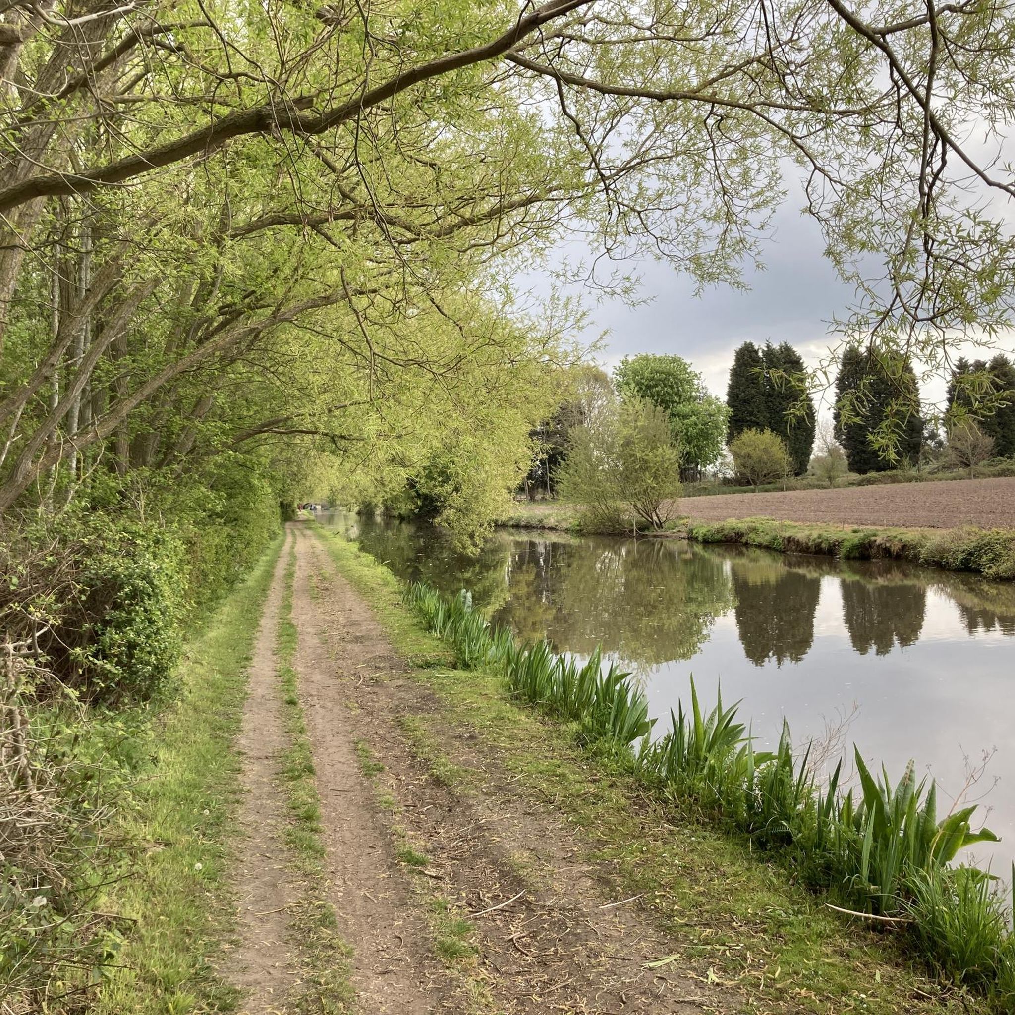
A towpath (known in German as a towpath or Leinpfad), which runs alongside the river or canal, was an essential part of the transport infrastructure in earlier times. Before ships could be propelled by motor power, horses walked along the bank, pulling the boat against the current. This activity was called "treideln" in German, and thus the "treidelpfad" got its name. Where these paths – running directly along the bank – have survived to this day, they no longer serve their original purpose, but are still popular: namely, with hikers and cyclists.
0
0

THIS PLAQUE AND BOUNDARY STONE. SPONSORED BY THE LICHFIELD BRANCH OF THE INLAND WATERWAYS ASSOCIATION AND UNVEILED AT THE BI-CENTENARY ON 22ND JULY 1990 BY ROGER HERRINGTON OF BRITISH WATERWAYS MARKS THE JOINING OF THE BIRMINGHAM AND FAZELEY AND COVENTRY CANALS AT THE WHITTINGTON BROOK IN JULY 1790
0
0

A lovely place to go for a walk and cycle along the towpath. Just wear good shoes as it can be a bit muddy when it's wet.
1
0

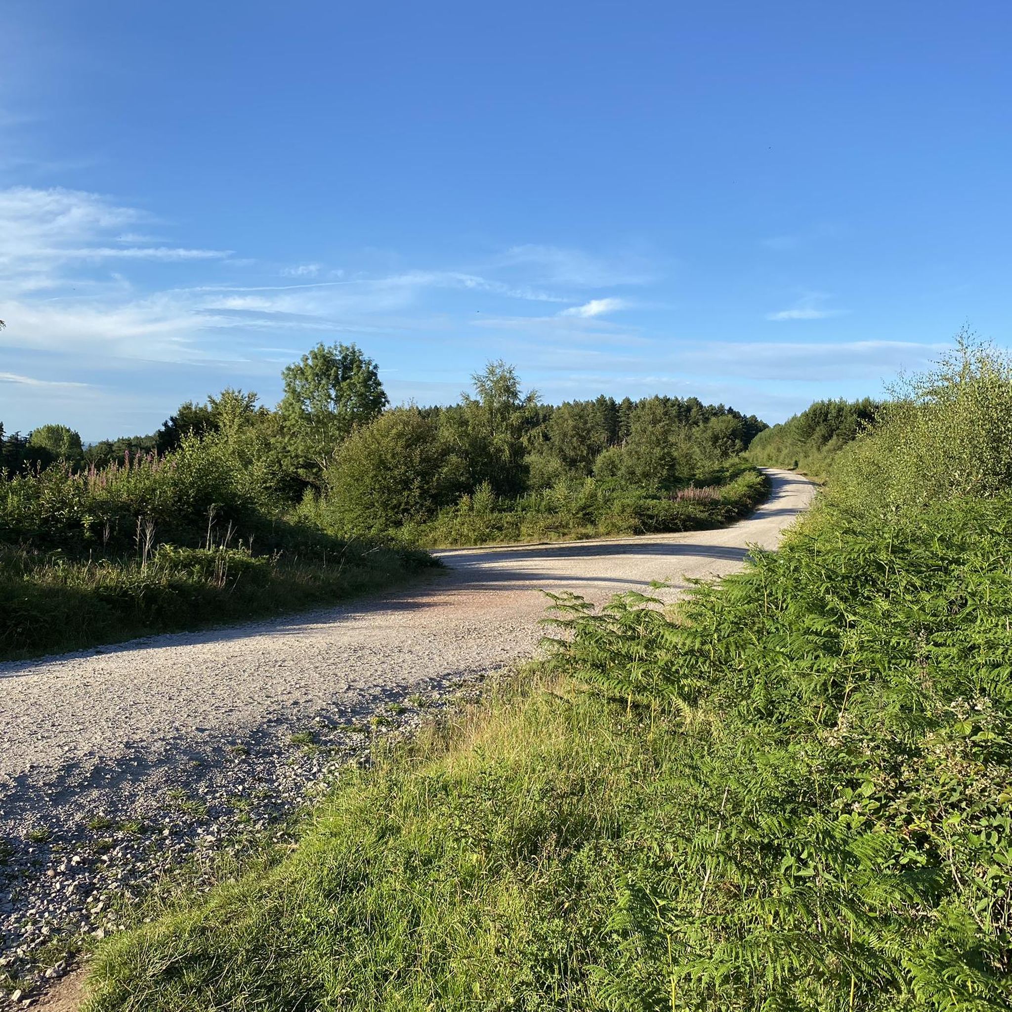
An ancient area of woodland with a mixture of native tree species and a wide range of animals, insects and birds. The area is owned by Tarmac and the Ministry of Defence, some areas are occasionally closed for military exercises so always follow signs.
1
0

Caught in the middle of a thunderstorm this, very nice, church has ample opportunities for shelter
0
0
A nice quiet lane with, a dusk some good of Weeford Transmitter blinking away in the twighlight
0
0

This memorial commemorates Colin Grazier of Tamworth, as well as Anthony Fasson and Tommy Brown. They died after recovering an Enigma machine and important code documents from the sinking U559 in 1942. When they re-entered the sub for more information, it sank.
1
0
Frequently Asked Questions
How many running routes are available around Harlaston?
There are over 390 running routes in the Harlaston area, offering a wide variety of options for all fitness levels. This includes 43 easy routes, 279 moderate routes, and 70 difficult routes for more experienced runners.
What kind of terrain can I expect on running trails near Harlaston?
The Harlaston area features a mix of terrain, characterized by a gentle rise within a generally flat landscape. You'll find accessible canal towpaths, such as those along the Trent and Mersey Canal and the Coventry Canal, which provide flat and easy running surfaces. There are also routes through significant vegetation, managed farmland, and areas with tree cover, offering a tranquil and scenic environment.
Are there any circular running routes in Harlaston?
Yes, many of the running routes around Harlaston are circular. For example, the Tamworth Town Hall – Enigma Memorial loop from Tamworth is a popular moderate 10.6 km (6.6 miles) option, and the more challenging Hopwas Wood loop from Leyfields covers 18.5 km (11.5 miles) through woodland.
What do other runners say about the trails in Harlaston?
The running routes in Harlaston are highly rated by the komoot community, with an average score of 3.9 stars from more than 20 reviews. Over 4,000 runners have used komoot to explore the varied terrain, often praising the tranquil green spaces and accessible canal paths.
Are there any scenic viewpoints or natural attractions along the running routes?
While running, you can enjoy the tranquil scenery of the area, including trees lining roads and riverbanks. Nearby attractions that could be visited before or after your run include natural highlights like Minster Pool, Branston Water Park – The Gravs, and Croxall Lakes Nature Reserve.
Are there any historical landmarks or points of interest near Harlaston's running trails?
Yes, the region around Harlaston offers several historical and cultural landmarks. You might consider visiting Lichfield Cathedral, Erasmus Darwin House Museum and Herb Garden, or Dr Milley's Hospital, Lichfield, which are all within reach of the area.
Are the running routes in Harlaston suitable for beginners?
Absolutely. Harlaston offers 43 easy running routes, many of which utilize flat canal towpaths, making them ideal for beginners or those looking for a gentle run. These paths are generally accessible and suitable for all fitness levels.
What is a good longer running route for experienced runners?
For experienced runners seeking a challenge, the Hopwas Canal Path – Hopwas Hays Wood loop from Tamworth is a difficult 21.3 km (13.2 miles) route that offers a longer distance and varied scenery.
Is there public transport access to the running routes in Harlaston?
Harlaston is a village in Staffordshire, and while specific public transport details for each route aren't provided, it's advisable to check local bus services for connections to the village or nearby towns like Tamworth, which serve as starting points for several routes.
Where can I find parking for running trails in Harlaston?
While specific parking locations for each trail are not detailed, many routes start from or pass through villages and towns like Tamworth or Leyfields, where public parking facilities are typically available. It's recommended to check local information for parking options near your chosen starting point.
Are there any running routes that pass through woodlands?
Yes, the area includes routes that lead through woodland areas. For instance, the Hopwas Wood loop from Leyfields is a challenging route that takes you through significant wooded sections, providing a different running experience with elevation changes.
What is the longest running route available in the Harlaston area?
One of the longest routes available is the Hopwas Canal Path – Hopwas Hays Wood loop from Tamworth, which spans 21.3 km (13.2 miles) and is classified as difficult.
Most popular attractions around Harlaston

Get inspired with the komoot mobile app


Explore more
Browse the best Running Trails & Routes in other regions.
