The best running trails around Coulton
3.9
(15)
936
runners
81
runs
Jogging routes around Coulton are primarily situated within the Howardian Hills, an Area of Outstanding Natural Beauty. This region is characterized by rolling hills, open farmland, and scattered woodlands, providing varied terrain for runners. The landscape includes gentle ascents and descents, with some routes featuring small hills under 200 meters. The area offers a mix of rural paths and trails suitable for different running preferences.
Best jogging routes around Coulton
- The most popular jogging route is Higher Fish Pond and…
Last updated: July 2, 2026
9
runners
6.66km
00:44
100m
100m
Moderate run. Good fitness required. Mostly paved surfaces. Suitable for all skill levels.
5.0
(1)
6
runners
6.73km
00:45
20m
20m
Moderate run. Good fitness required. Mostly paved surfaces. Suitable for all skill levels.

Sign up for free
4
runners
5.78km
00:40
70m
70m
Moderate run. Good fitness required. Mostly accessible paths. Some sure footedness required.
1
runners
Easy run. Great for any fitness level. Mostly paved surfaces. Suitable for all skill levels.
23
runners
11.0km
01:12
150m
150m
Moderate run. Good fitness required. Mostly paved surfaces. Suitable for all skill levels.
Get access to more routes and recommendations from other explorers.
Sign up for free
Already have an account?
Our route recommendations are based on thousands of hikes, rides, and runs completed by other people on komoot.
Start today with a free account
Your next adventure awaits.
Login or Signup

Tips from the Community

Trails for every level
0
0

One of only a few such mazes left in the country and the only one in Yorkshire.
0
0

Beautiful forest paths, but make sure you navigate you’re way as they all look the same.
0
0

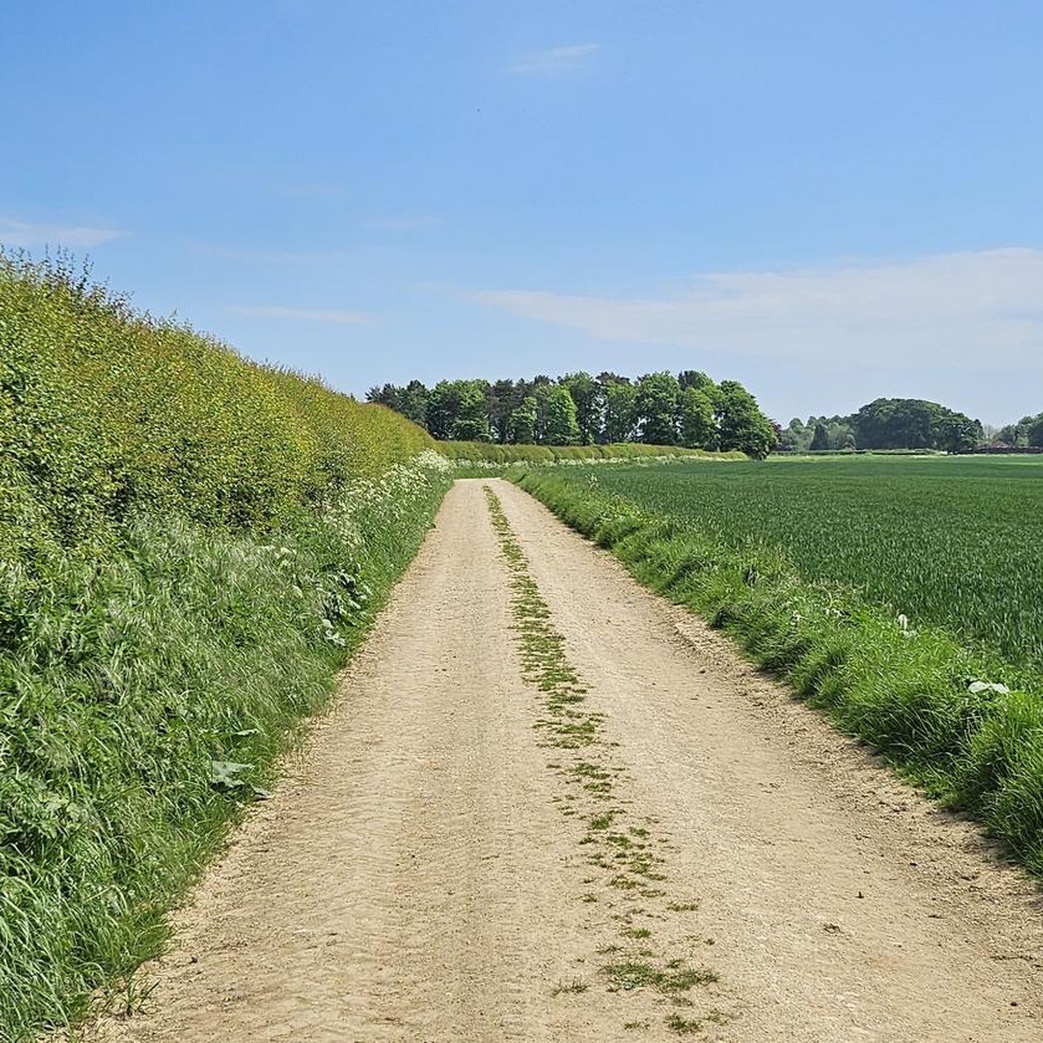
A really easy track to follow from Cawton to Hovingham, and judging from others' photos, one that really ought to be visited through the different seasons. My photos are from a hot sunny weekend in May, when the countryside was a blaze of yellow with flowering rapeseed.
0
0

Worth stopping on your ride here - this is a gem! "City of Troy" here is the only surviving instance (in North Yorkshire) of an ancient game. A similar name is given to these kinds of maze games in Scandinavia (Trojeborg = Troy Town), which shows early association between these parts of the world. There is a plaque with further information here as well as a bench to rest on to enjoy this place. The views are also quite lovely, particularly down the Bonnygate Lane road.
0
0
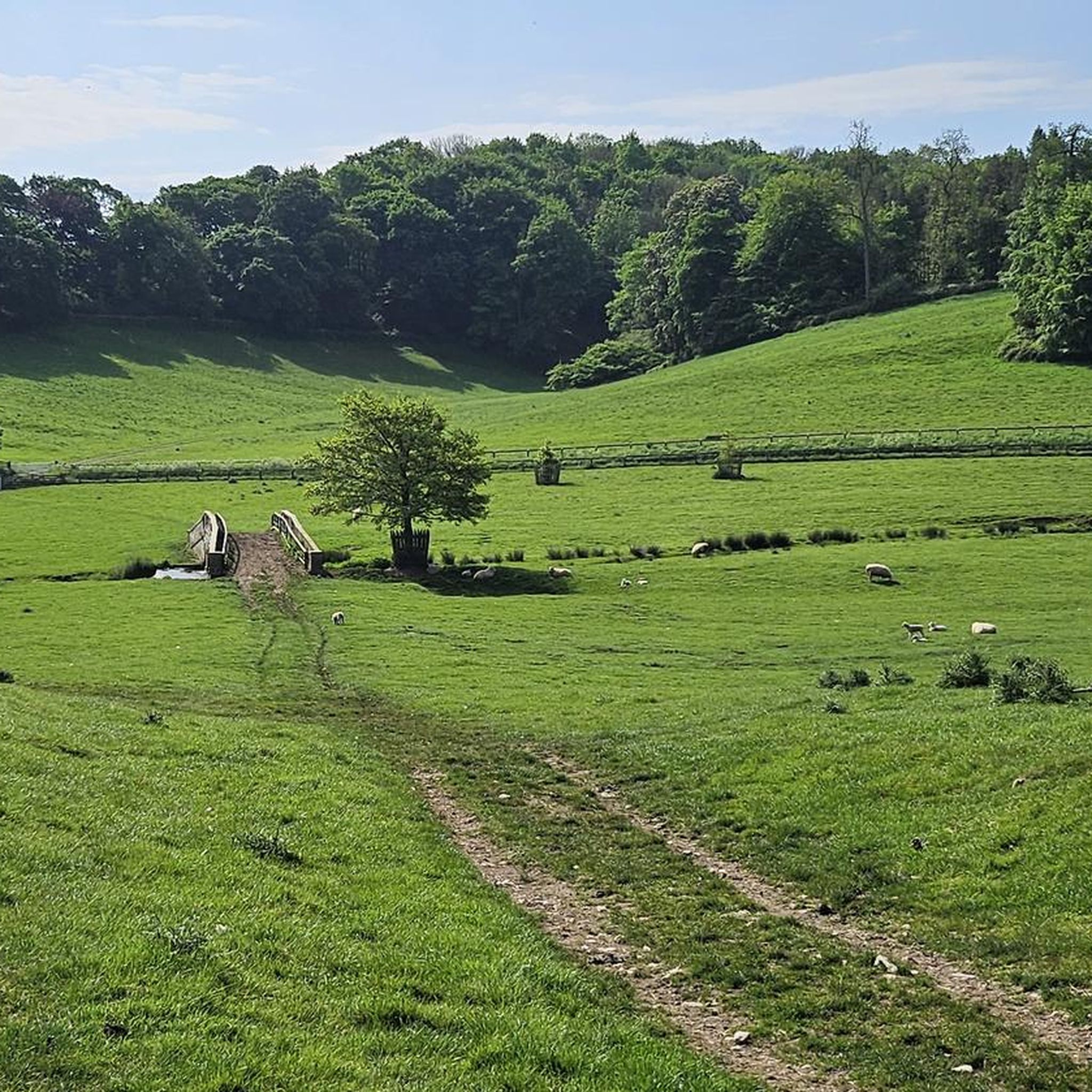
This is a lovely short stretch between Gilling and Ampleforth Abbey: some pastures (lots of sheep, always nice), along The Holbeck (a stream) and eventually lovely views of the Ampleforth Abbey from above before descending to the Ampleforth College and Abbey grounds. Warning! Take the second footbridge over The Holbeck. The first one appears to be on a waymarked local route, but if you cross over to the northern bank, you will come against an electrified fence in the field, and you cannot walk through that. Stay on the southern bank until you come across the second footbridge, and that is safe to follow.
1
0
This segment of total of peace and quiet (and I mean pretty much total) in the countryside between Stonegrave and Hovingham is a combination of paths and wider tracks. Closer to its end (Hovingham-side), you will walk along a part of the dismantled railway that used to run between Pilmoor Junction and Malton from 1853 to 1954.
0
0
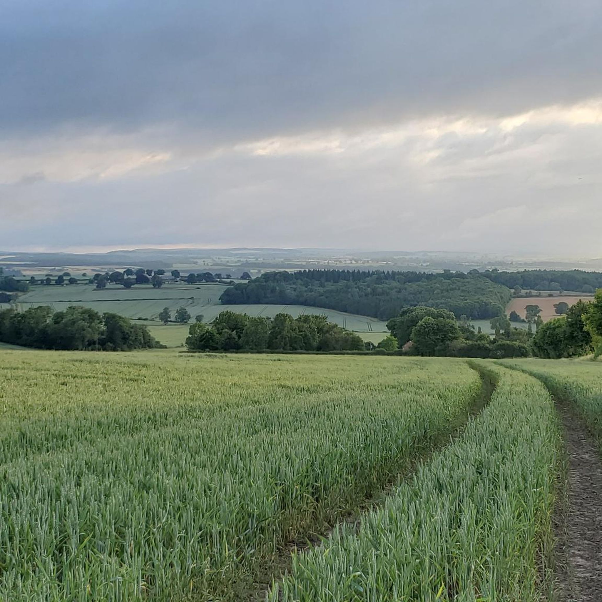
A great segment on Ebor Way across the countryside west of Hovingham. Wide tracks, rolling hills (Hovingham High Wood on the slopes to the south) and green fields (best in the summer), and almost immediate peace out of the villages of Hovingham and Cawton. Pure joy to run.
0
0
Frequently Asked Questions
How many running routes are available around Coulton?
There are over 80 running routes in the Coulton area, offering a wide range of options for different preferences and fitness levels. These routes are primarily situated within the Howardian Hills, an Area of Outstanding Natural Beauty.
What kind of terrain can I expect on jogging routes in Coulton?
Jogging routes in Coulton feature varied terrain, characterized by rolling hills, open farmland, and scattered woodlands. You'll encounter gentle ascents and descents, with some routes including small hills under 200 meters. The area offers a mix of rural paths and trails.
Are there any easy running routes for beginners in Coulton?
Yes, Coulton offers several easy running routes suitable for beginners. For example, the Ryedale Miniature Railway and Ampleforth Abbey loop from Park Wood — Howardian Hills is an easy 4.8 km trail.
Can I find longer distance running trails in Coulton?
Absolutely. For those looking for a longer run, the Martin's Plantation loop from Yearsley is a moderate 11 km route that provides a good challenge and extended time on the trails.
What do other runners enjoy most about the trails in Coulton?
The running routes in Coulton are highly rated by the komoot community, with an average score of 4.1 stars from over 10 reviews. Runners often praise the varied landscapes, from open farmland to scattered woodlands, and the well-maintained rural paths within the Howardian Hills.
Are there any scenic viewpoints or landmarks along the running routes?
Yes, many routes offer scenic views and pass by interesting landmarks. For instance, the Higher Fish Pond and The Scar loop includes a climb to The Scar, offering elevated views. You might also encounter highlights like Castle Howard or the City of Troy Maze near some trails.
Are there any circular running routes in Coulton?
Many of the running routes in Coulton are circular, allowing you to start and finish at the same point. Examples include the popular Higher Fish Pond and The Scar loop and the Cawton and Stonegrave loop from Hovingham.
What natural attractions can I explore near the jogging trails?
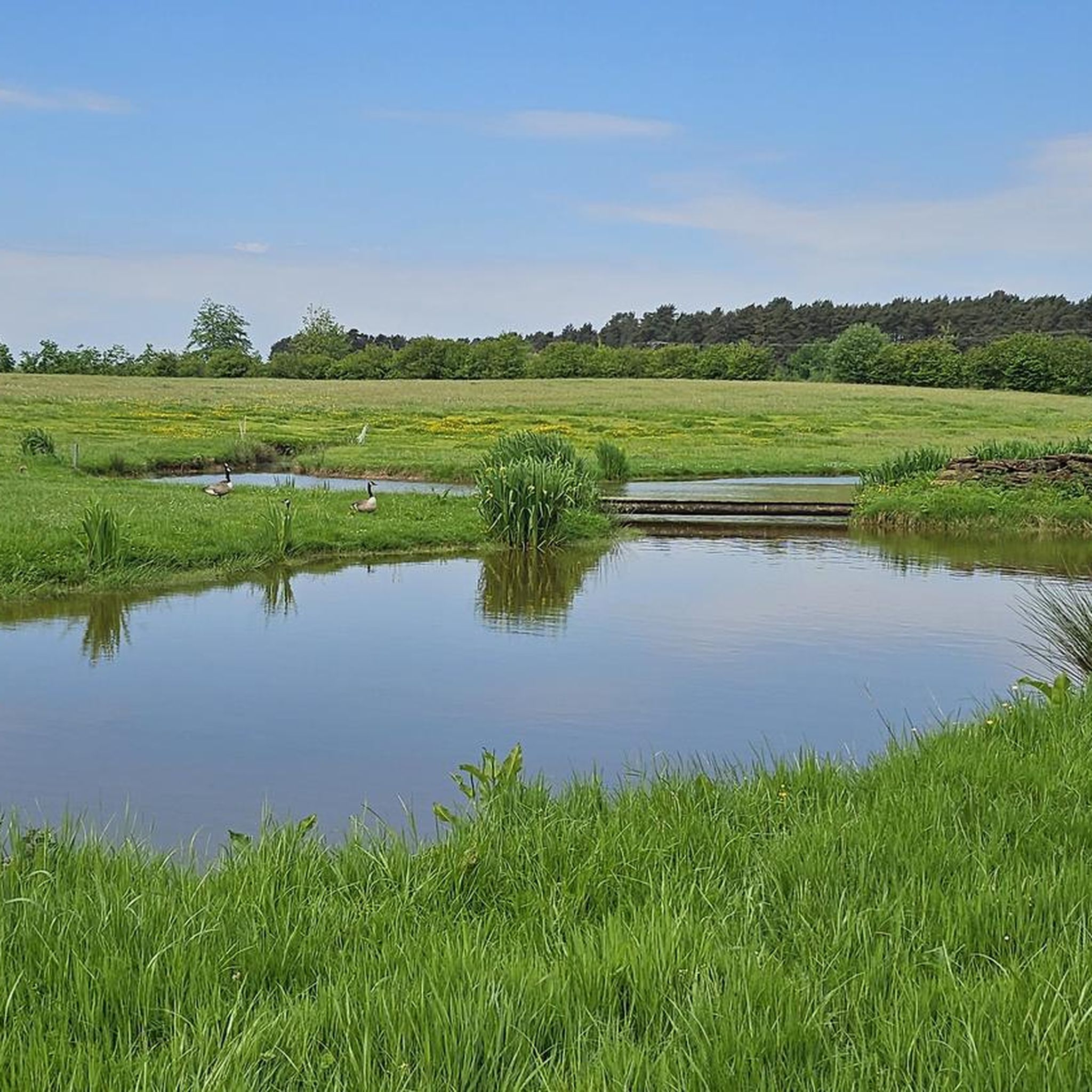
Beyond the trails themselves, you can explore several natural attractions. The area features beautiful lakes such as Lower Fish Pond and Higher Fish Pond, Yearsley Woods. You might also find the View of Oulston Reservoir particularly scenic.
Are there any specific trails that pass by historical sites or unique monuments?
Yes, some trails offer glimpses of historical sites and unique monuments. For instance, the Green Lane and Mug Dale loop is near the City of Troy Maze. Other notable monuments in the wider area include Pretty Wood, King's Oak and the Four Faces Monument.
What is the best time of year to go running in Coulton?
Coulton's rolling hills and woodlands offer pleasant running conditions throughout much of the year. Spring and autumn provide mild temperatures and beautiful scenery, while summer is ideal for early morning or late evening runs. Winter runs are also possible, though conditions may vary.
Are there any routes that are particularly good for a quick run?
For a quicker run, the Green Lane and Mug Dale loop from City of Troy — Howardian Hills is a moderate 5.8 km trail that can typically be completed in about 40 minutes, making it a great option for a shorter, efficient workout.
Most popular attractions around Coulton

Get inspired with the komoot mobile app


Explore more
Browse the best Running Trails & Routes in other regions.
