Coverham With Agglethorpe
Coverham With Agglethorpe
The best walks and hikes around Coverham With Agglethorpe
4.5
(1083)
7,080
hikers
278
hikes
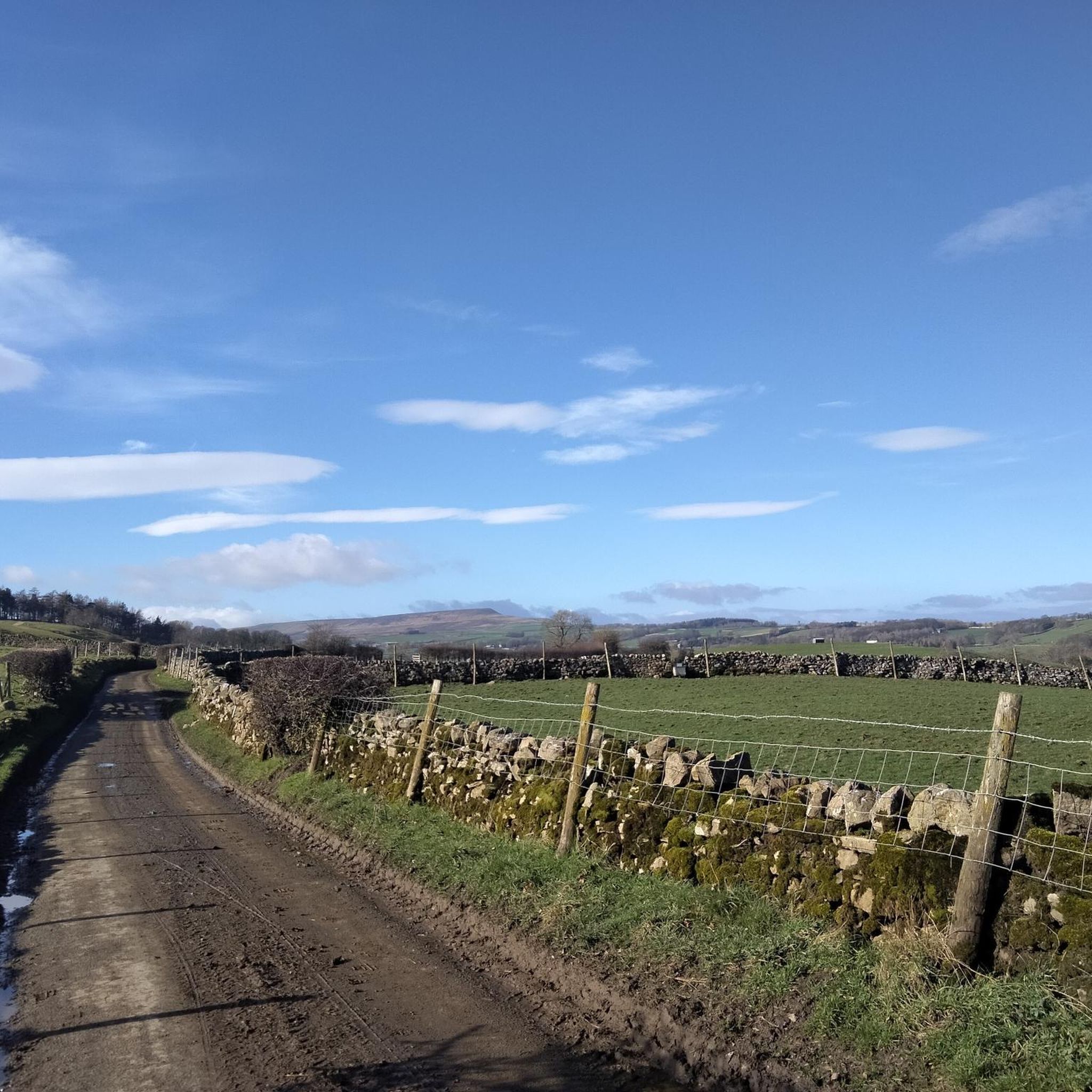
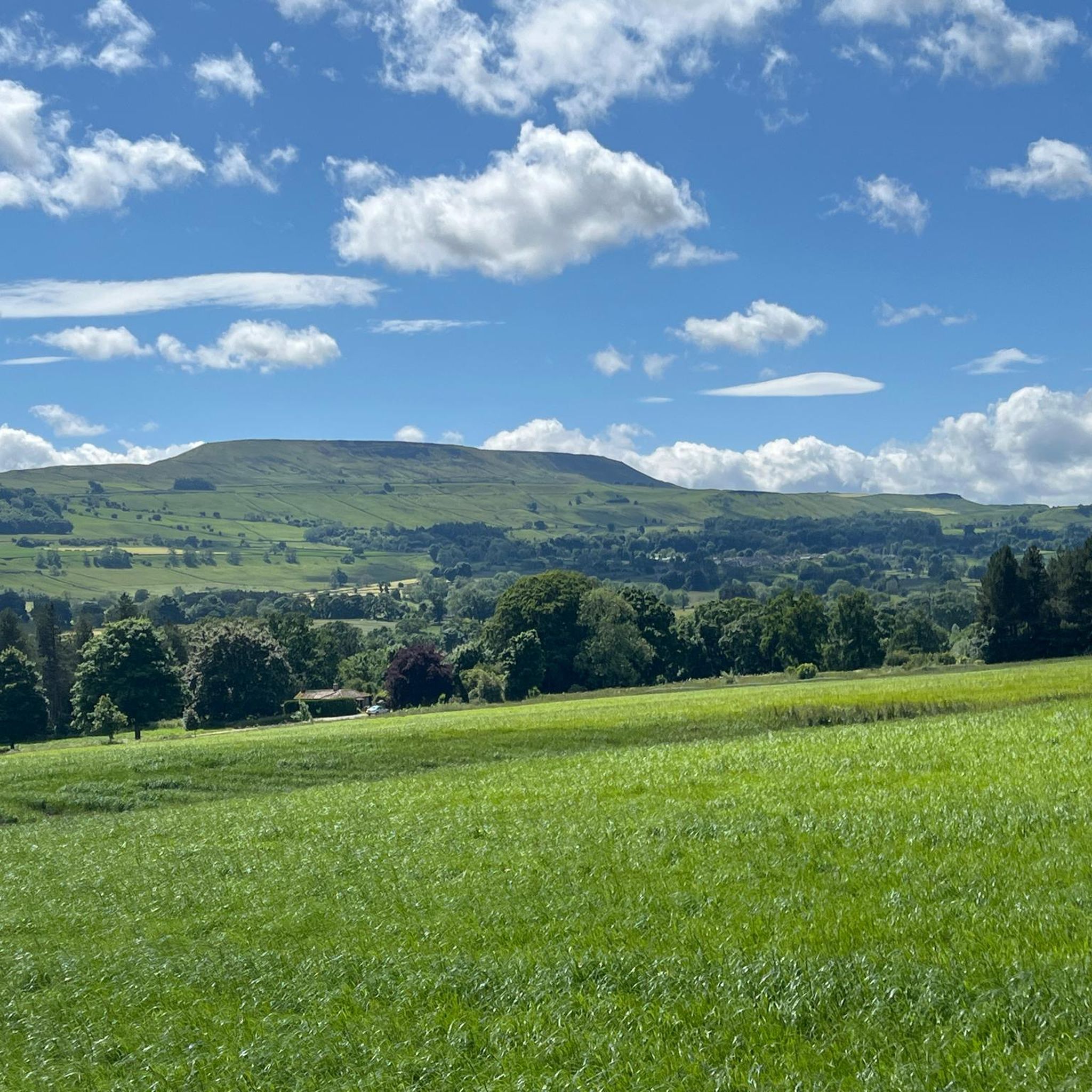
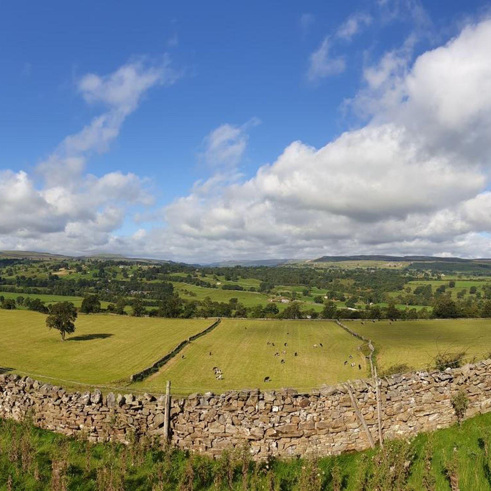
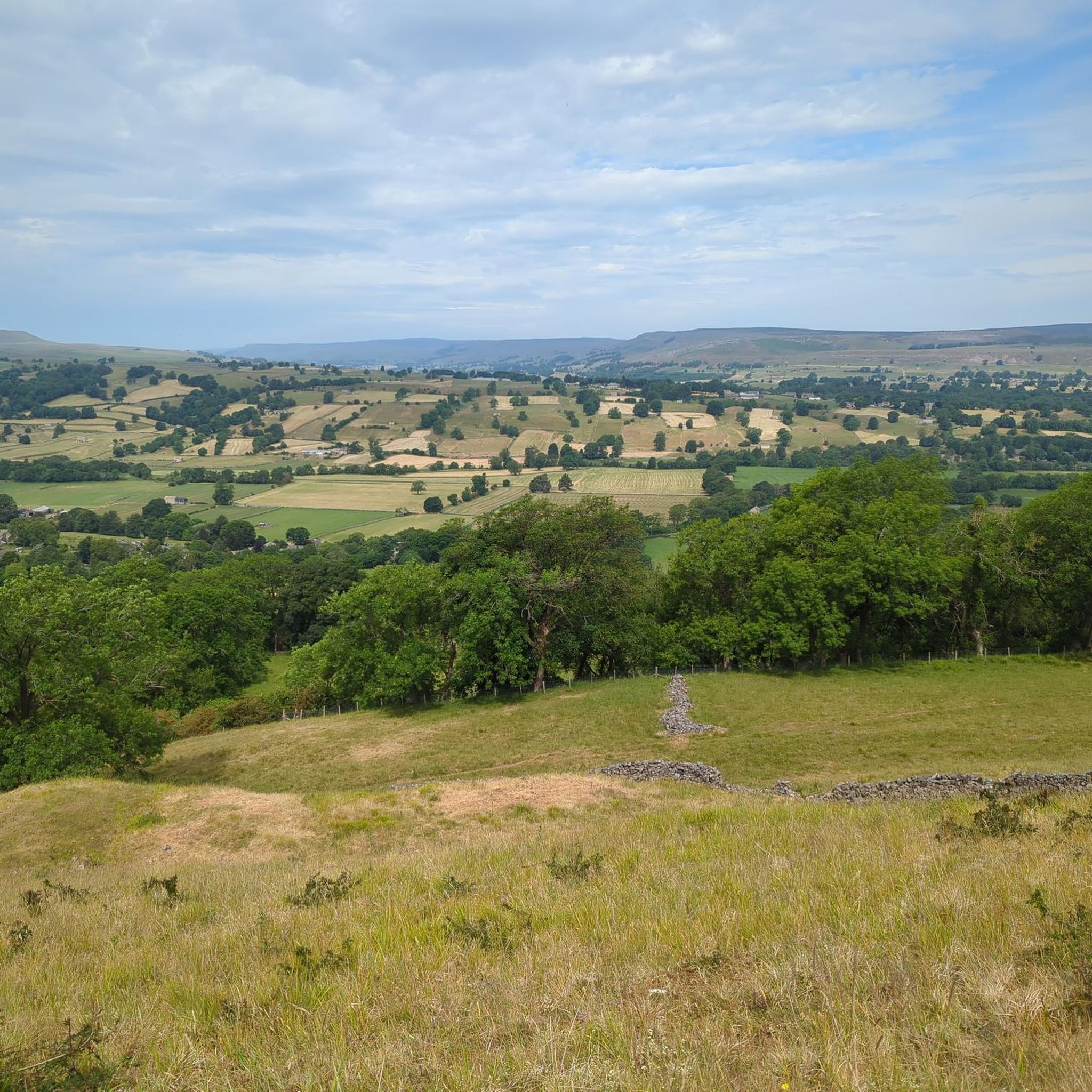
Hikes around Coverham with Agglethorpe explore the landscape of the Yorkshire Dales National Park. The region is characterized by the U-shaped valley of Coverdale, rolling hills, and the meandering River Cover. The terrain is a mix of riverside paths, open farmland divided by traditional drystone walls, and ascents to viewpoints like Penhill.
Best hiking trails around Coverham with Agglethorpe
- The most popular hiking route is the Heights of Hazely and Carlton Motte loop from Middleham Peat Road — Yorkshire Dales…
Last updated: July 7, 2026
5
hikers
12.7km
03:40
320m
320m
Moderate hike. Good fitness required. Easily-accessible paths. Suitable for all skill levels.
4.4
(5)
24
hikers
6.48km
01:56
210m
210m
Easy hike. Great for any fitness level. Easily-accessible paths. Suitable for all skill levels.

Sign up for free
5.0
(6)
40
hikers
11.1km
03:05
200m
200m
Moderate hike. Good fitness required. Easily-accessible paths. Suitable for all skill levels.
3.0
(1)
9
hikers
5.30km
01:35
160m
160m
Easy hike. Great for any fitness level. Easily-accessible paths. Suitable for all skill levels.
5.0
(1)
3
hikers
Easy hike. Great for any fitness level. Easily-accessible paths. Suitable for all skill levels.
Get access to more routes and recommendations from other explorers.
Sign up for free
Already have an account?
Our route recommendations are based on thousands of hikes, rides, and runs completed by other people on komoot.
Start today with a free account
Your next adventure awaits.
Login or Signup

Tips from the Community

This 16th century Inn is full of character and fitting for a pub in Middleham which is famous for its many Racehorse yards
1
0
Recently opened (early 2025) and is located in the main car park of The Saddle Room & The Forbidden Corner
1
0
The bridge carries Hanghow Lane over the River Cover. It is built of stone and consists of a single chamfered pointed arch, which is 50 feet (15 m) wide, while the bridge is 12 feet (3.7 m) from side to side
1
0

'He tore his rags' is a line from the verse, "The Ballad of Old Bartle". In West Witton there’s a tradition to burn an effigy of Old Bartle every year. For more info, see https://yorkshire-dales.com/old-bartle.html and https://youtu.be/DuTKD37sk_M?si=F7qZH7P5Av8j6Ta2
0
0

Delightful spot on the river with stepping stones to cross.
0
0

The Six Dales Trail only launched in 2010. It starts in Otley and meanders across the entire Nidderdale Area of Outstanding Natural Beauty (AONB) to finish here at Middleham. So you are either at the start of the trek or the finish, depending on what direction you are hiking. The trail is 38 miles long (61 km) and is a fully waymarked route with heather moorland, rivers, parkland, and the famous Jervaulx Abbey. Here at Middleham is the fantastic Middleham Castle, which is well worth a visit.
2
1

This motte, just at the back of the Foresters Arms Inn, might be easily missed (personally, I spot stuff like this a mile or more away...). It dates back to the 11th or 12th century and was possibly built as an 'outlier' of the original William's Hill castle in Middleham.
1
0
Frequently Asked Questions
Are there many walking routes to choose from in the Coverham area?
Yes, there's a fantastic selection with over 280 hiking trails available. The network of paths covers everything from gentle riverside strolls along the River Cover to more demanding climbs up onto the surrounding fells of the Yorkshire Dales.
What do other hikers think of the trails around Coverham with Agglethorpe?
The routes here are very well-regarded by the komoot community. Hikers often praise the classic Dales scenery, with its patchwork of fields divided by traditional drystone walls, and the variety of walks that combine natural beauty with historical sites.
Can I take my dog on hikes in this area?
Yes, many trails in Coverdale are suitable for dogs, but it's important to be mindful of the farming landscape. You will likely encounter livestock, so keep your dog on a lead, especially during lambing season. Also, be aware of ground-nesting birds on the moorlands.
Are there any easy, family-friendly walks available?
Definitely. For a shorter, accessible outing that still offers great views, the Penhill Summit loop from West Witton is an excellent choice. It's a relatively gentle climb suitable for most skill levels and provides a rewarding experience for the whole family.
Where can I find a good circular walk?
The area is perfect for circular hikes. A great option that combines history with scenic valley views is the Middleham Castle – Middleham Castle loop from Coverham. This moderate trail takes you through the countryside to the historic castle, once the childhood home of Richard III.
Are there any longer, more challenging hikes?
For those seeking a more strenuous day out, the Heights of Hazely and Carlton Motte loop from Middleham Peat Road — Yorkshire Dales National Park offers a good challenge. This route involves significant elevation gain and rewards you with expansive views across the dale.
What historical points of interest can I see on a walk?
The region is rich in history. Many walks pass by significant landmarks, including the ruins of the 13th-century Coverham Abbey and the impressive Middleham Castle. You'll also see ancient drystone walls and historic coaching inns in villages like Carlton and West Scrafton.
Can I get to the trailheads using public transport?
Public transport options are limited in this rural part of the Yorkshire Dales. Most trailheads are best accessed by car. It's advisable to check local bus schedules in advance, as services to the smaller villages can be infrequent.
Where is a good place to park for a walk?
Parking is generally available in the villages that serve as start points for many routes, such as West Witton, Middleham, or near specific trailheads like the Middleham Peat Road. Please park considerately, avoiding blocking farm gates or narrow lanes, especially during busy periods.
Are there any walks that go to the top of Penhill?
Yes, reaching the summit of Penhill is a popular objective. For a moderately challenging route, consider the Penhill Summit – Penhill Crags and Beacon loop from Melmerby. The summit plateau offers fantastic panoramic views across both Wensleydale and Coverdale.
What kind of wildlife might I see while hiking?
The diverse habitats support a variety of wildlife. On the moorlands, look for ground-nesting birds like curlews and grouse. The woodlands are home to pied flycatchers and roe deer, while dippers and kingfishers can sometimes be spotted along the River Cover.
Are there any trails with waterfalls near Coverham?
While the immediate area is known more for its rolling hills and river valleys, the wider Yorkshire Dales National Park is famous for its waterfalls. A short drive will take you to popular spots like Aysgarth Falls in Wensleydale or the waterfalls around Malham Cove, which is a highly-regarded natural attraction.
Most popular routes around Coverham With Agglethorpe
Most popular attractions around Coverham With Agglethorpe

Get inspired with the komoot mobile app


Explore more
Browse the best Hikes in other regions.
