The best cycling routes around Skelding
4.5
(147)
1,847
riders
96
rides
Touring cycling around Skelding offers routes through the rural landscape of North Yorkshire. The area features a mix of rolling hills, open moorland roads, and scenic viewpoints. Cyclists can expect varied terrain, including moderate climbs and descents, characteristic of the region's topography. The routes often pass through small villages and offer views of the surrounding countryside.
Best touring cycling routes around Skelding
- The most popular touring cycling route is Bike loop from Kirkby Malzeard, a 16.3 miles (26.2 km)…
Last updated: October 22, 2026
18
riders
26.5km
01:58
440m
440m
Moderate bike ride. Good fitness required. Mostly paved surfaces. Suitable for all skill levels.
22
riders
18.7km
01:16
290m
290m
Moderate bike ride. Good fitness required. Mostly paved surfaces. Suitable for all skill levels.

6
riders
33.3km
02:26
600m
600m
Hard bike ride. Very good fitness required. You may need to push your bike for some segments of this route.
7
riders
21.6km
01:25
320m
320m
Moderate bike ride. Good fitness required. Mostly paved surfaces. Suitable for all skill levels.
5.0
(1)
6
riders
27.4km
01:42
250m
250m
Moderate bike ride. Good fitness required. Mostly paved surfaces. Suitable for all skill levels.
Get access to more routes and recommendations from other explorers.
Already have an account?
Our route recommendations are based on thousands of hikes, rides, and runs completed by other people on komoot.
Start today with a free account
Your next adventure awaits.

Tips from the Community

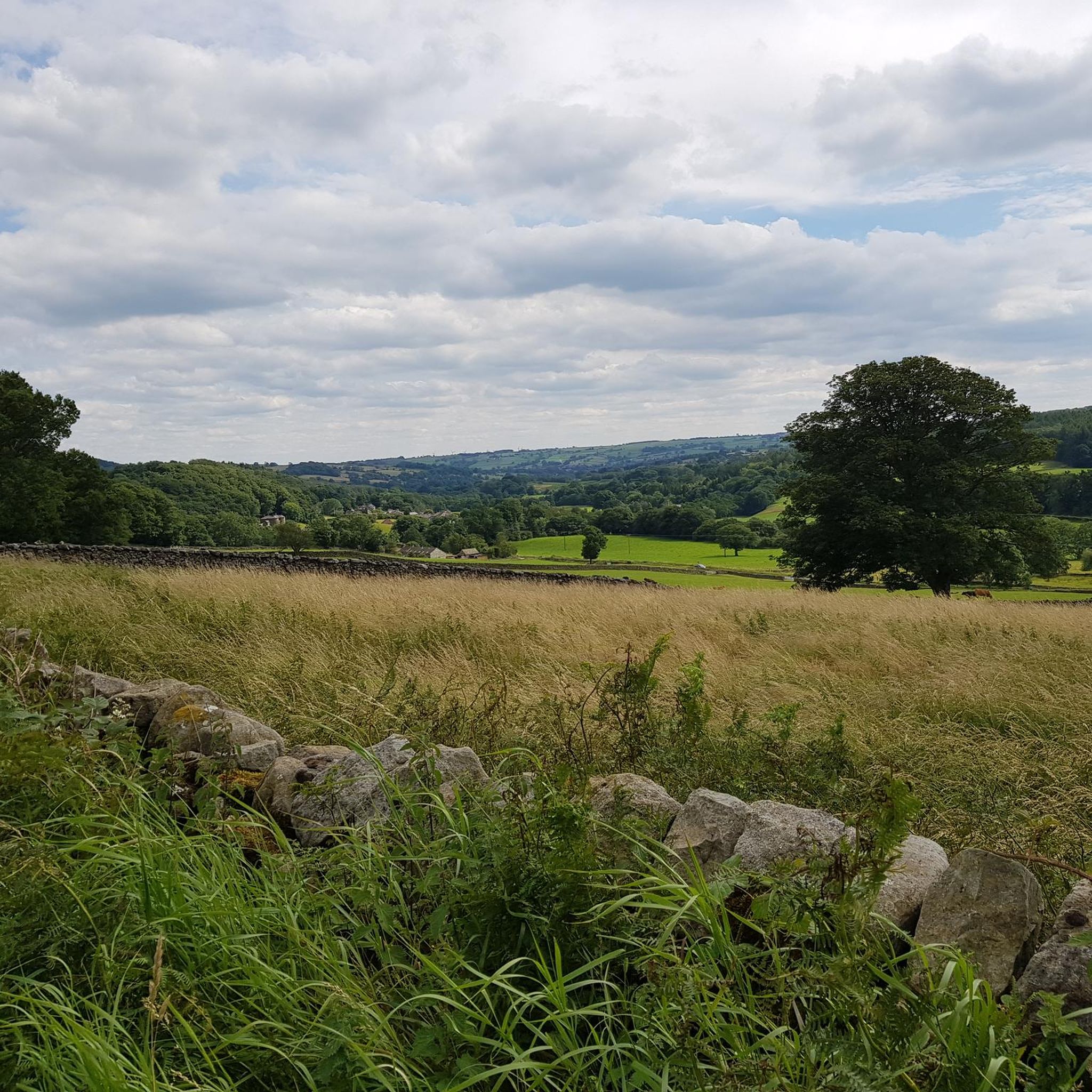
North Gill Beck is a small upland stream forming the northern boundary of Dallowgill. It runs eastwards through enclosed pasture and woodland toward the River Laver. These bridges and and forward are in Pye Carr and Hodgson Wood which are nice and cool on a hot day.
0
0
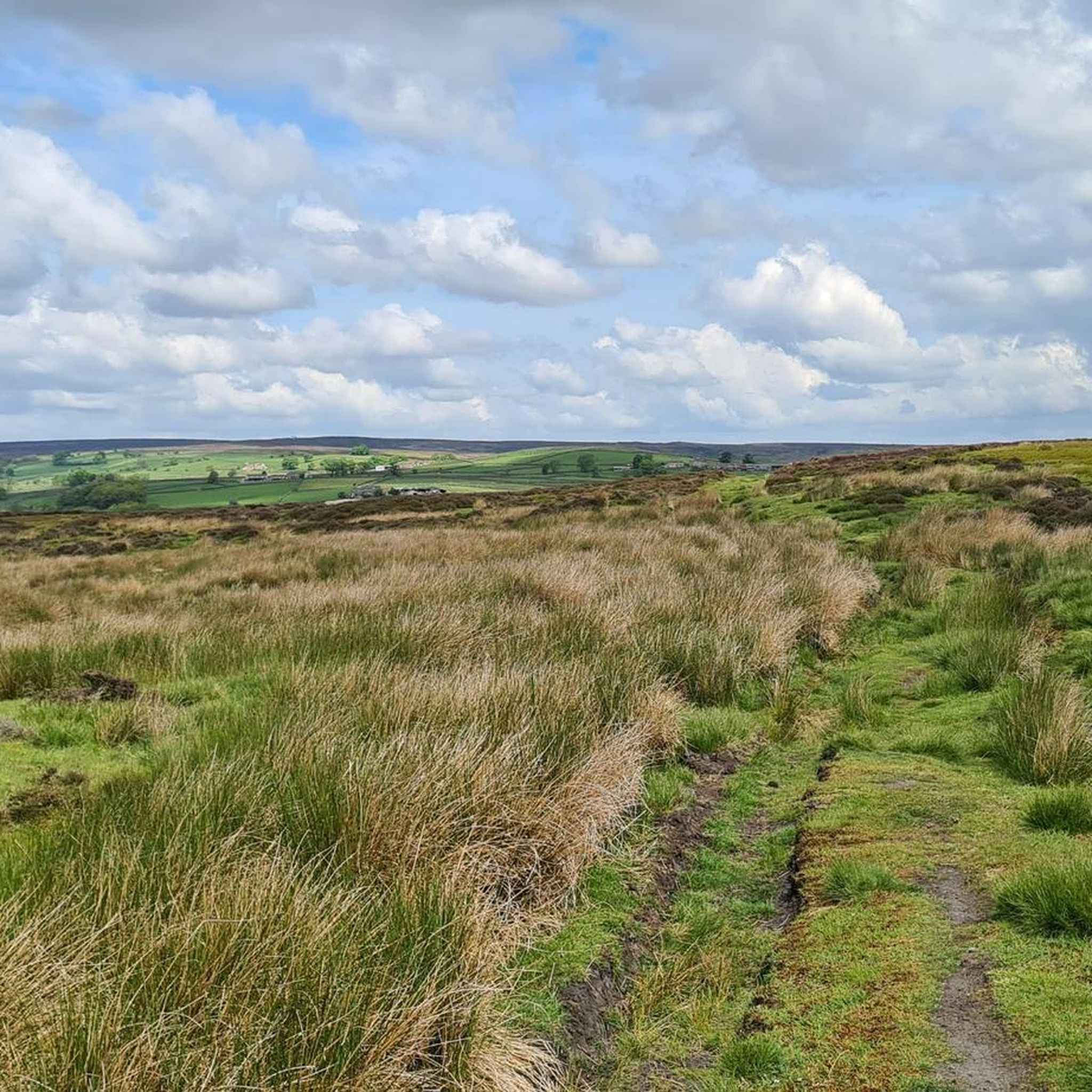
This tower sits on a high shoulder of Dallowgill and gives panoramic views over Nidderdale, you can even see all the way to the North York Moors. The castellations were removed in 1984 but it does still have a narrow ladder to climb the last few feet so that you can enjoy the view from the top. Komoot won't plot a route to the Monument, but there is a clearly signposted public footpath from the road a couple of hundred yards away.
0
0

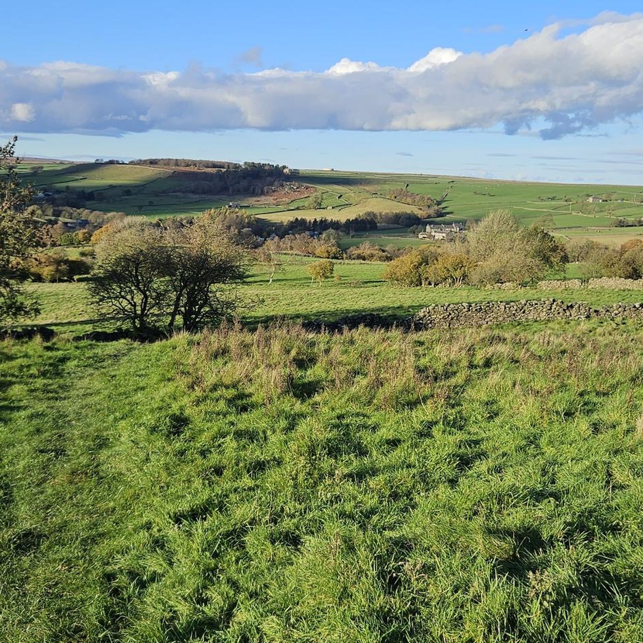
From the top of the hill there are great views across the countryside
0
0

Mickley is a village in the Harrogate District of North Yorkshire, England. The village is on the south bank of the River Ure between Masham and West Tanfield
0
0
The square is in the very centre of Ripon and is mainly used as a short stay car park. The car park is closed on Thursdays to make way for Ripon’s market.
0
0
Ripon has a stunning gothic cathedral as its centrepiece. It was Founded in the 7th century, the town centre has a mix of architecture dating back to the medieval period, including its Georgian town hall and the Market Place, which has been there since the 12th century.
0
0

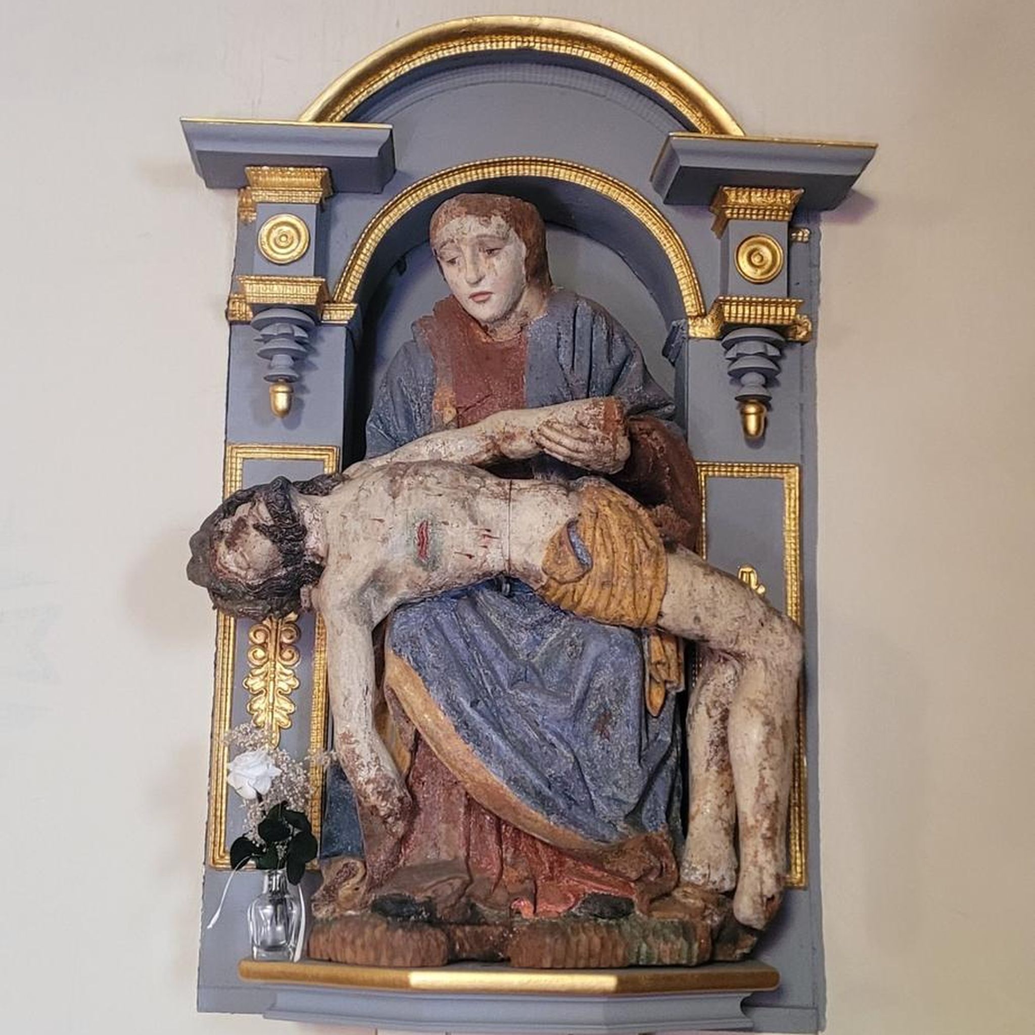
St. Mary’s Church, now in ruins, was the parish church of Pateley Bridge until 1827. The church began to fall into decay at the start of the 19th century and it was closed in 1826 when it became too small for the congregation, too expensive to repair and too inconvenient to reach.
0
0
Frequently Asked Questions
How many touring cycling routes are available around Skelding?
There are over 100 touring cycling routes available around Skelding, offering a wide range of options for different skill levels and preferences.
What kind of terrain can I expect on touring bike routes in Skelding?
Touring cycling around Skelding features a rural landscape with rolling hills, open moorland roads, and scenic viewpoints. You can expect varied terrain, including moderate climbs and descents characteristic of North Yorkshire's topography.
Are there routes suitable for beginners or less experienced touring cyclists?
Yes, Skelding offers a few easier touring cycling routes. While many routes involve moderate climbs, there are options that are less demanding, allowing beginners to enjoy the scenic countryside.
What about more challenging touring cycling routes in Skelding?
For experienced touring cyclists seeking a challenge, Skelding has over 60 difficult routes. These typically feature significant elevation gains and longer distances, such as the View of Pateley Bridge – Pateley Moor Road loop from Kirkby Malzeard, which includes substantial climbing through moorland.
Are there any circular touring bike routes in the Skelding area?
Many of the touring cycling routes around Skelding are designed as loops, allowing you to start and finish in the same location. Examples include the popular Bike loop from Kirkby Malzeard and the Black Hill loop from Kirkby Malzeard.
What is the best time of year for touring cycling in Skelding?
The best time for touring cycling in Skelding, like much of North Yorkshire, is generally from spring through autumn (April to October). During these months, the weather is typically milder and more stable, making for more enjoyable rides through the open landscapes.
Is parking available near the touring cycling routes in Skelding?
While specific designated parking for every route might vary, you can often find parking in the villages and towns near the starting points of many routes, such as Kirkby Malzeard. Always check local signage for parking restrictions.
Are touring cycling routes in Skelding suitable for families?
Some of the easier and shorter routes around Skelding can be suitable for families, especially those with older children comfortable with some rolling terrain. For example, the Obelisk at Ripon Market Place – Kirkby Malzead loop from Kirkby Malzeard offers a moderate distance with less extreme elevation changes.
Can I bring my dog on touring cycling routes in Skelding?
Generally, dogs are welcome on public rights of way in the Skelding area, provided they are kept under control, especially around livestock. While touring cycling routes are primarily for bikes, if your dog is accustomed to running alongside a bicycle and you adhere to local guidelines, it should be fine. Always be mindful of other users and farm animals.
What natural landmarks or viewpoints can I see along touring cycling routes in Skelding?
Many routes offer stunning views. You might pass by natural landmarks such as High Crag Ridge Trig Point or enjoy vistas from Riva Hill Summit. The Stark Bank Climb – Swinton Park loop from Kirkby Malzeard offers parkland scenery and notable climbs with rewarding views.
Are there any historical or cultural attractions to explore near Skelding's cycling routes?
Yes, the area around Skelding is rich in history and culture. You could encounter sites like How Hill and St. Michael's Church, or the historic Studley Royal Water Garden, a UNESCO World Heritage Site, which features beautiful landscapes and architectural follies.
What do other touring cyclists say about the routes in Skelding?
The touring cycling routes in Skelding are highly regarded by the komoot community, with an average rating of 4.5 stars from over 120 reviews. Cyclists often praise the varied terrain, the quiet moorland roads, and the scenic viewpoints that offer a true taste of North Yorkshire's rural beauty.
Most popular attractions around Skelding

Get inspired with the komoot mobile app


Explore more
Browse the best Cycling routes in other regions.
