The best running trails around Newall With Clifton
4.3
(76)
16,294
runners
654
runs
Jogging around Newall With Clifton offers a diverse landscape for runners, characterized by river valleys, rolling hills, and accessible parklands. The region features a mix of urban and rural paths, with routes often following waterways like the River Wharfe and passing through local green spaces. Elevation changes are present, ranging from gentle inclines to more challenging climbs, providing varied terrain for different running preferences.
Best jogging routes around Newall With Clifton
- The most popular jogging route is Cinder Lane Climb…
Last updated: July 5, 2026
68
runners
16.0km
01:43
220m
220m
Hard run. Very good fitness required. Mostly paved surfaces. Suitable for all skill levels.
3.0
(1)
41
runners
28.7km
03:20
580m
580m
Hard run. Very good fitness required. Mostly paved surfaces. Suitable for all skill levels.

Sign up for free
33
runners
10.2km
01:04
70m
70m
Moderate run. Good fitness required. Mostly paved surfaces. Suitable for all skill levels.
17
runners
10.7km
01:12
160m
160m
Moderate run. Good fitness required. Mostly paved surfaces. Suitable for all skill levels.
5.0
(1)
18
runners
29.0km
03:23
530m
530m
Hard run. Very good fitness required. Mostly accessible paths. Some sure footedness required.
Get access to more routes and recommendations from other explorers.
Sign up for free
Already have an account?
Our route recommendations are based on thousands of hikes, rides, and runs completed by other people on komoot.
Start today with a free account
Your next adventure awaits.
Login or Signup
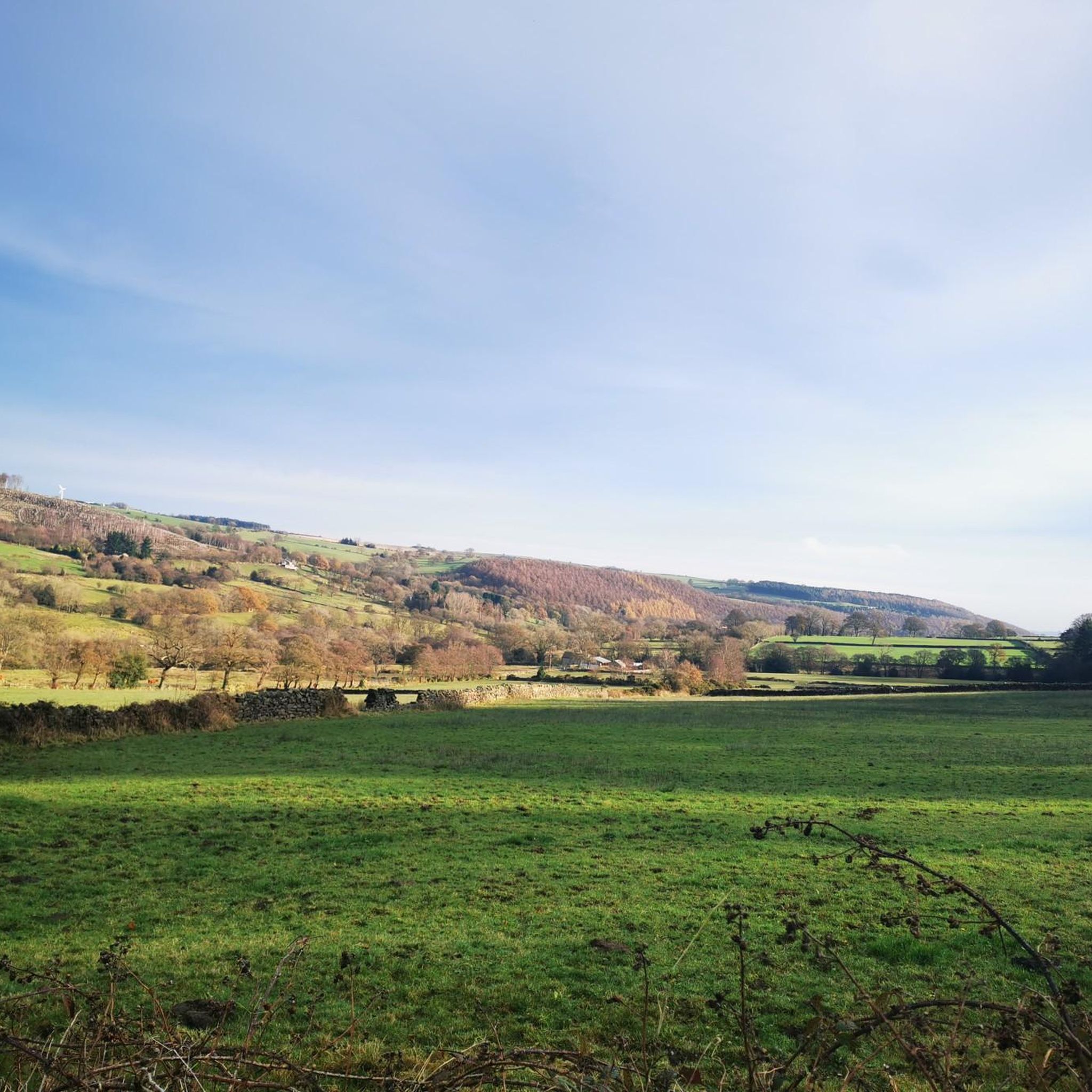
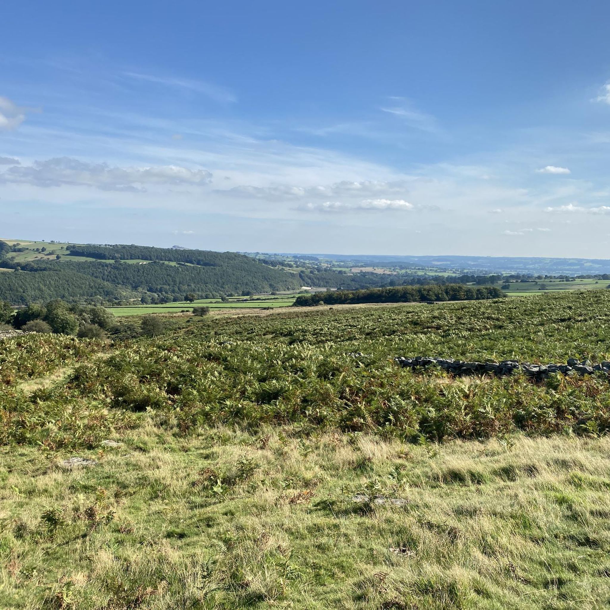
Tips from the Community

Small bridge at the southern end of the dam allows you to peer over and see the overflow for Fewston Reservoir and the sloping masonry weirs that channel overflow down into Swinsty Reservoir. Great views of both reservoirs northwest to Fewston and southeast to Swinsty.
1
0
Good quality paths all the way around Thruscross, Fewston and Swinsty Reservoirs, with parking at Swinsty Moor Plantation, Fewston village, Blubberhouses, and Thruscross Reservoir dam. If you do all 3 reservoirs then that clocks in at a 15-mile route, but is well worth it. The paths around the southern reservoirs are generally wide and flat. There are benches at periodic intervals on the eastern side of Fewston and Swinsty Reservoirs, where you can take a break and admire the views.
1
0
Easy to access and walk along the water's edge, levels quite low in spring of 2025 (see photos).
1
0
Quite a few opportunities all around the reservoirs to head toward the water's edge, so you are unlikely to get completely stuck if you go off-piste. In early 2025 the water level is quite low.
1
0

A great place for a rest with fine views across the Wharfe valley.
0
0
The climb up Coach Lane brings you to a seat named 'Desmond's Perch', situated under an oak tree.
0
0

Bell essential as lots of walkers and dogs. Go early to avoid the human traffic. Quite technical in places
0
0

Dob Park Bridge spans the River Washburn. The bridge carried the routeway from Dob Park Mill and probably Dob Park Lodge across the river to Norwood and Fewston. It is narrow in width and was intended to carry horses loaded with panniers across the water.
0
0
Frequently Asked Questions
How many running routes are available around Newall With Clifton?
Newall With Clifton offers a wide selection of running routes, with over 620 different trails to explore. These range from easy jogs to more challenging long-distance runs, catering to all fitness levels.
Are there easy running routes suitable for beginners in Newall With Clifton?
Yes, Newall With Clifton has numerous options for beginners. There are 49 easy running routes available, providing gentle terrain and shorter distances perfect for those new to running or looking for a relaxed jog.
What kind of terrain can I expect on the jogging trails in Newall With Clifton?
The region features a diverse landscape for runners, characterized by river valleys, rolling hills, and accessible parklands. You'll find a mix of urban and rural paths, often following waterways like the River Wharfe and passing through local green spaces. Elevation changes vary from gentle inclines to more challenging climbs.
Are there any running routes that offer scenic viewpoints or interesting landmarks?
Absolutely! The area around Newall With Clifton is rich in natural beauty and points of interest. While running, you might encounter highlights such as Rombalds Moor Trig Point, Lippersley Pike summit cairn, or the Rawdon Trig Point, offering great views and photo opportunities.
Can I find circular running routes in Newall With Clifton?
Many of the running routes in Newall With Clifton are designed as loops, offering convenient circular options. For example, the Otley Bridge – Clifton Gully Descent loop from Otley is a moderate 10.8 km (6.7 miles) circular trail that takes approximately 1 hour 12 minutes to complete.
What do other runners say about the trails in Newall With Clifton?
The running routes in Newall With Clifton are highly regarded by the komoot community, boasting an average rating of 4.3 stars from over 70 reviews. Runners often praise the varied terrain, scenic beauty, and the accessibility of the trails.
Are there any longer, more challenging running routes for experienced runners?
Yes, for experienced runners seeking a challenge, there are plenty of difficult routes. One such option is the Dob Park Bridge – View of Fewston Reservoir loop from Otley, a demanding 28.3 km (17.6 miles) trail with significant elevation gain, typically taking around 3 hours 18 minutes.
Are the running routes in Newall With Clifton suitable for families?
Many of the easier and moderate routes, particularly those through parklands and along river paths, are suitable for families. These trails often have less challenging terrain and provide a pleasant environment for a family jog or walk.
What are the typical distances and durations for running routes in this area?
Running routes in Newall With Clifton vary greatly in length and duration. You can find shorter trails like the Grove Hill Park – Otley Town Centre loop from Otley, which is 10.2 km (6.4 miles) and takes about 1 hour 4 minutes, up to much longer routes exceeding 28 km (17 miles).
Is it possible to find running routes that incorporate pub stops or cafes?
Given the mix of urban and rural paths, especially around areas like Otley Town Centre, it is certainly possible to plan routes that pass by local pubs or cafes. Many trails lead through or near villages and towns where you can find refreshments.
Are there any specific considerations for winter running in Newall With Clifton?
During winter, some higher or less maintained trails might be muddy or slippery. However, many of the parkland and urban routes remain accessible. Always check local weather conditions and wear appropriate footwear and clothing for safety and comfort.
How can I find dog-friendly running routes in Newall With Clifton?
Many of the trails in Newall With Clifton are dog-friendly, especially those in public parklands and along riverbanks. It's always advisable to keep dogs on a lead, especially near livestock or in busier areas, and to check for any specific local restrictions.
Most popular routes around Newall With Clifton
Most popular attractions around Newall With Clifton

Get inspired with the komoot mobile app


Explore more
Browse the best Running Trails & Routes in other regions.
