The best walks and hikes around Overton
4.6
(415)
6,887
hikers
317
hikes
Hiking around Overton offers routes that primarily explore the low-lying plains and riverside paths near the city of York. The region is characterized by its flat terrain, with trails following riverbanks and leading into historic urban centers. These hikes often combine pastoral scenery with architectural points of interest.
Best hiking trails around Overton
- The most popular hiking route is York City Walls – Historic Centre of York loop from Poppleton, a 13.0 mile (20.9 km) trail that takes about 5 hours 22 minutes to complete. This route combines a walk along the historic city walls with paths through the center of York.
- Another top favourite among local hiking enthusiasts is Barker Tower – The Shambles, York loop from Upper Poppleton, a moderate 7.6 mile (12.3 km) path. The trail follows the river and explores notable landmarks within York.
- Local hiking enthusiasts also love the Home Farm Beningbrough – Beningbrough Hall loop from Newton-on-Ouse, a 3.3 mile (5.3 km) trail leading through the area around the historic hall, often completed in about 1 hour 21 minutes.
- Hiking around Overton is defined by gentle riverside walks, paths through open farmland, and routes exploring historic city centers. The network of trails provides accessible options suitable for various fitness levels, with minimal elevation change.
- The routes in Overton are highly rated by the komoot community with an average score of 4.6 stars from over 300 reviews. More than 5,900 hikers have used komoot to explore Overton's varied terrain.
Last updated: October 11, 2026
4.9
(8)
107
hikers
12.5km
03:12
40m
40m
Moderate hike. Good fitness required. Easily-accessible paths. Suitable for all skill levels.
4.0
(5)
25
hikers
4.92km
01:15
10m
10m
Easy hike. Great for any fitness level. Easily-accessible paths. Suitable for all skill levels.

4.8
(8)
78
hikers
20.8km
05:21
90m
90m
Hard hike. Very good fitness required. Easily-accessible paths. Suitable for all skill levels.
5.0
(2)
10
hikers
4.16km
01:03
10m
10m
Easy hike. Great for any fitness level. Easily-accessible paths. Suitable for all skill levels.
8
hikers
7.72km
01:59
30m
30m
Easy hike. Great for any fitness level. Easily-accessible paths. Suitable for all skill levels.
Get access to more routes and recommendations from other explorers.
Already have an account?
Our route recommendations are based on thousands of hikes, rides, and runs completed by other people on komoot.
Start today with a free account
Your next adventure awaits.
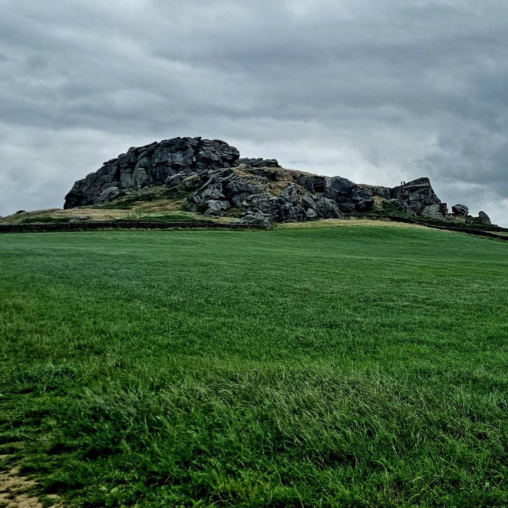
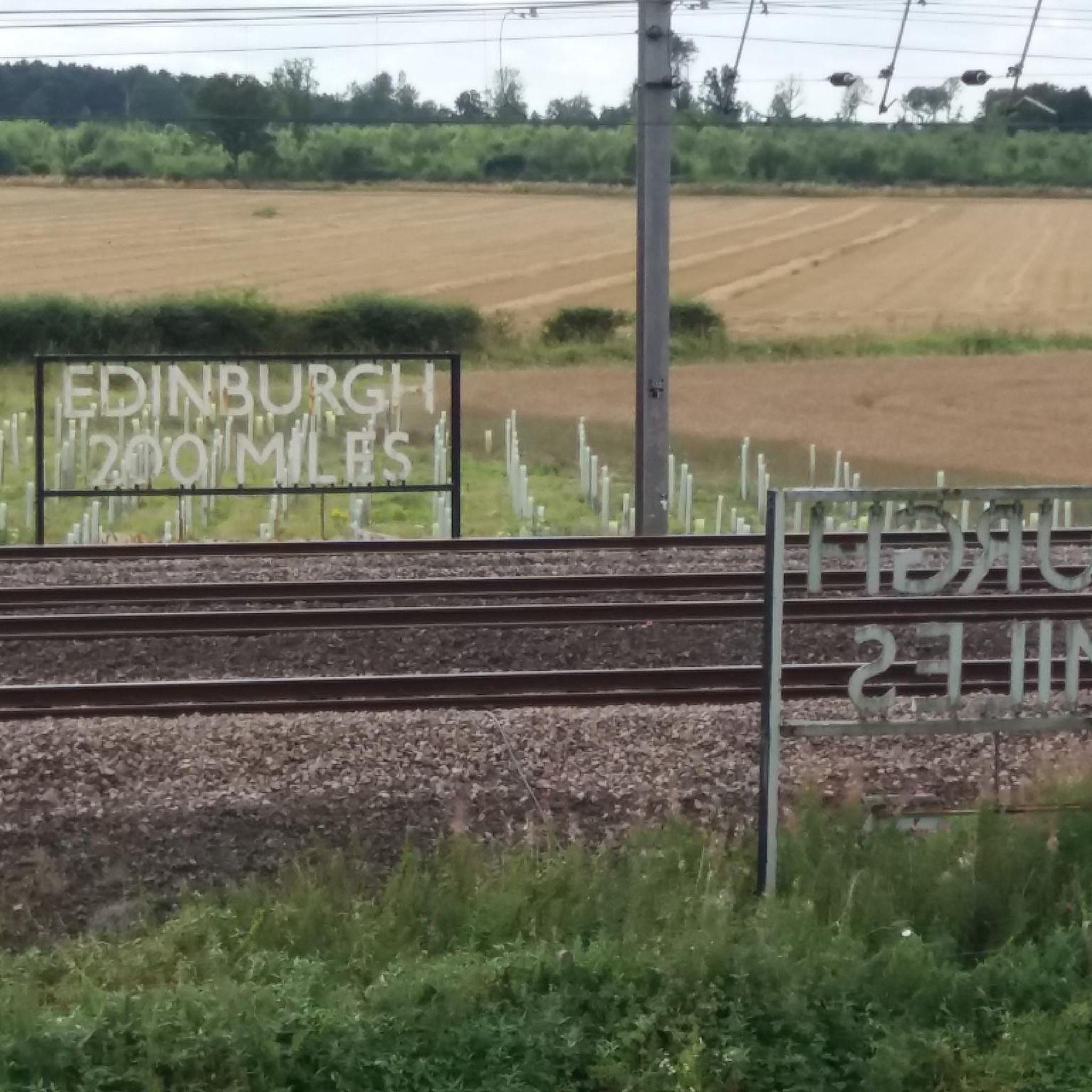
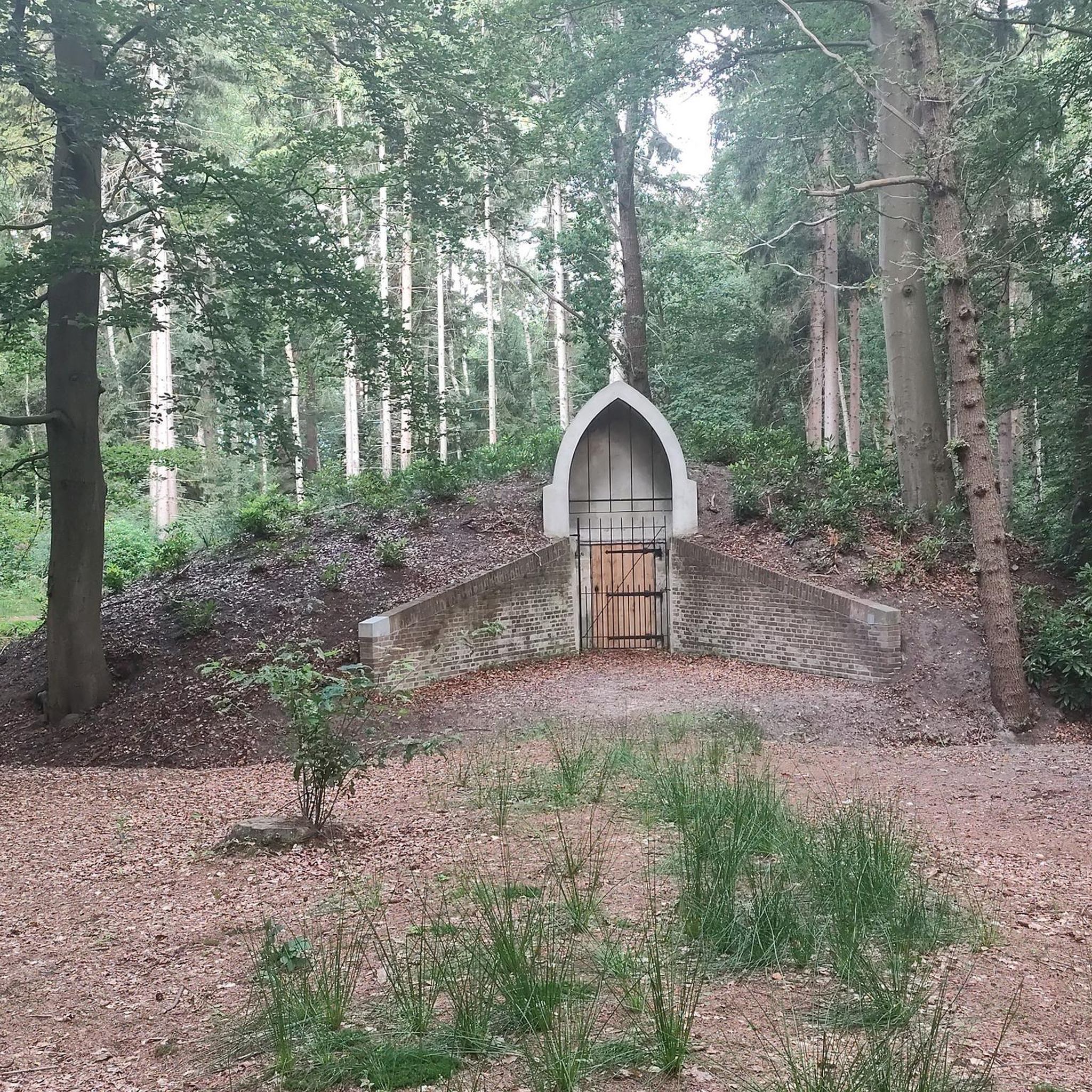

Tips from the Community


You get a true sense of scale when you turn onto Museum Street with the view of the cathedral in front of you, it dwarfs the surrounding buildings. York is a busy city centre with packed streets
0
0

Built in 2001 for over £4m, the York Millennium Bridge is a pedestrian and cycle bridge over the River Ouse in York, England. It connects New Walk to Terry Avenue, south of the city centre, and is part of a popular circular walking route. The bridge was designed to shorten the walking and cycling routes for people in the South Bank area of the city to the University of York and the city centre. If you are a pedestrian, then keep your wits about you. Cyclists will not give you any room and will not slow down either.
1
0
North Street Postern Tower is first mentioned in 1376 as 'the tower on the water of Ouse behind the tannery', and in later centuries as Barkertowre. Here one end of the chain blocking the river was secured. It was usually let to the ferryman operating the ferry across the Ouse to St. Leonard's Landing (discontinued after the opening of Lendal Bridge in January 1863). The tower was used as a mortuary from 1879, was restored in 1930, and until further restoration in 1970 served as a store for the Parks Department.
1
0
Most of the Roman walls are underground, and are overlaid with centuries of modification including Danish and Norman ramparts. Example cross-section of the walls can be viewed at https://www.british-history.ac.uk/rchme/york/vol2/pp108-138. With 6 Bars (gatehouses), 8 posterns and 39 towers (not all have survived), you can't come to York and not walk some of the walls, the most scenic parts are the North Corner around the Minster on the north side of the city centre. Opening times and other notices here: https://www.york.gov.uk/york-city-centre/city-walls/3 Maps and descriptions of wall walks here: https://www.yorkwalls.org.uk/?page_id=3690
1
0
Iconic view looking northeast up Museum Street, get the sense of scale that is difficult to appreciate when stood right next to it. Another great view is the eastern end of the Minster from College Street.
1
0
Frequently Asked Questions
What kind of hiking terrain can I expect around Overton?
The hiking around Overton, near York, is characterized by its gentle and relatively flat terrain. Most routes follow riverside paths, cross open farmland, and lead into historic urban areas, featuring minimal elevation change.
Are there any easy, family-friendly walks in the area?
Yes, there are many easy options perfect for a family outing. For example, the Beningbrough Hall loop from Newton-on-Ouse is a short, pleasant walk of about 2.7 miles (4.4 km) that is suitable for all fitness levels.
How many hiking trails are available near Overton?
You can find over 350 hiking routes around Overton. The majority of these are rated as easy, with a good number of moderate trails also available, so there's plenty of choice for everyone.
Are the trails dog-friendly?
Many of the trails in the area, which pass through open countryside and along public footpaths, are suitable for walking with a dog. However, be mindful of farmland where livestock may be present and keep your dog on a lead where required.
What do other hikers think of the routes around Overton?
The area is highly regarded by the komoot community, with routes earning an average rating of 4.6 stars. Hikers often praise the combination of peaceful pastoral scenery with the historic architecture of York.
Can I get to the trails using public transport?
Yes, many trails are accessible via public transport. Routes that start or finish in York are particularly convenient, as the city has excellent train and bus connections. Trails starting from surrounding villages may also be reached by local bus services.
Are there any circular walks available?
Absolutely. Many of the most popular routes are loops, allowing you to start and finish in the same place. The View across Clifton Ings loop from Skelton is a great moderate example that offers lovely scenery without needing to retrace your steps.
What should I pack for a day hike in this region?
For a day hike, comfortable walking shoes are essential. Since the weather can be changeable, it's wise to bring waterproof layers. Pack enough water and some snacks. As many paths can be muddy, especially after rain, waterproof footwear is a good idea.
Are there any long-distance hiking options?
Yes, for those seeking a longer challenge, the York City Walls – Historic Centre of York loop from Poppleton is a substantial 13-mile (21 km) hike. It provides a full day of walking, combining riverside paths with a tour of York's famous historic walls.
Can I combine hiking with historical sightseeing?
Definitely. The region is perfect for this. Many trails, such as the Barker Tower – The Shambles, York loop from Upper Poppleton, are designed to guide you past significant landmarks within the historic city of York.
Where can I find free places to hike?
The vast majority of trails in the area follow public rights of way through the countryside and city, making them free to access. You do not need to pay fees to enjoy the walks, though some car parks or attractions along a route, like Beningbrough Hall, may have entry charges.
Most popular routes around Overton
Most popular attractions around Overton

Get inspired with the komoot mobile app


Explore more
Browse the best Hikes in other regions.
