The best walks and hikes around Carlton
4.5
(1456)
11,107
hikers
33
hikes
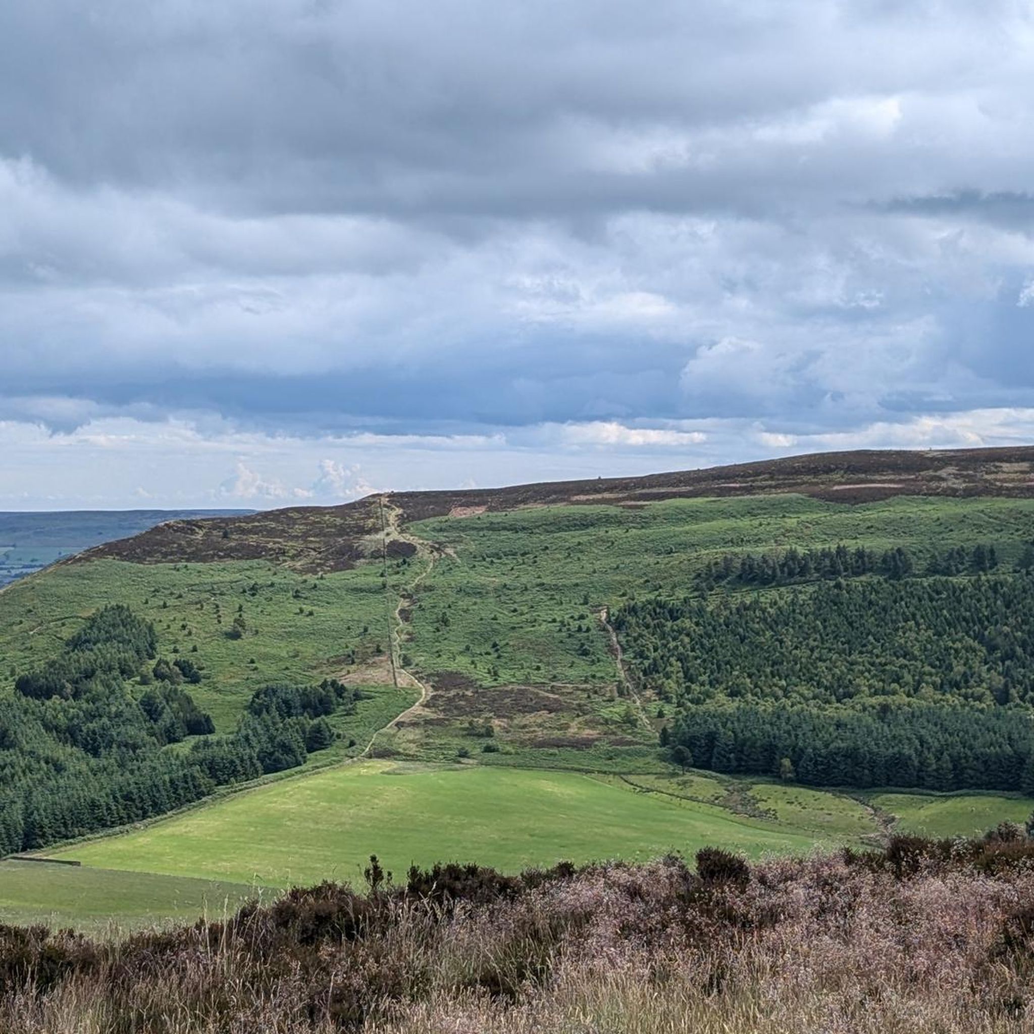
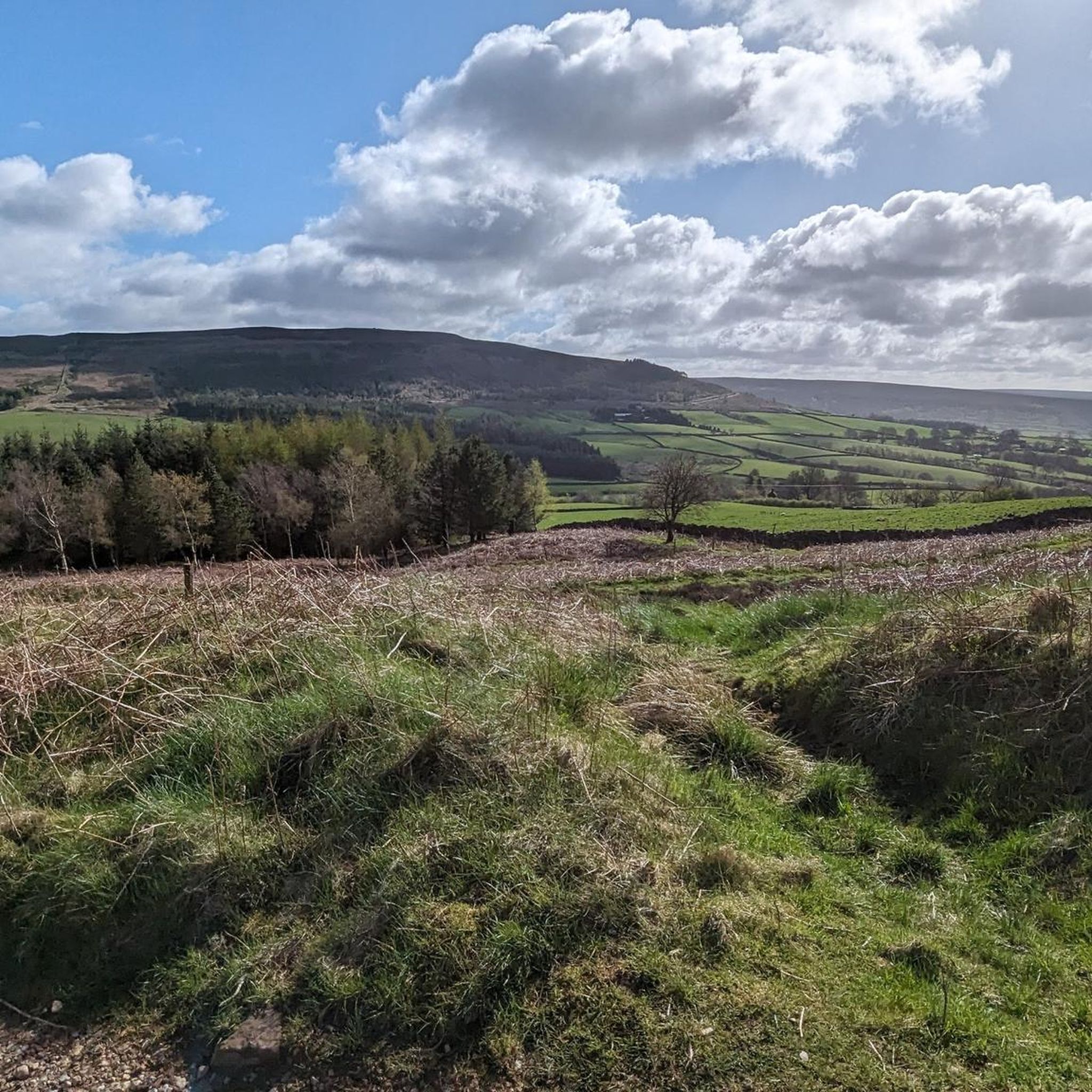
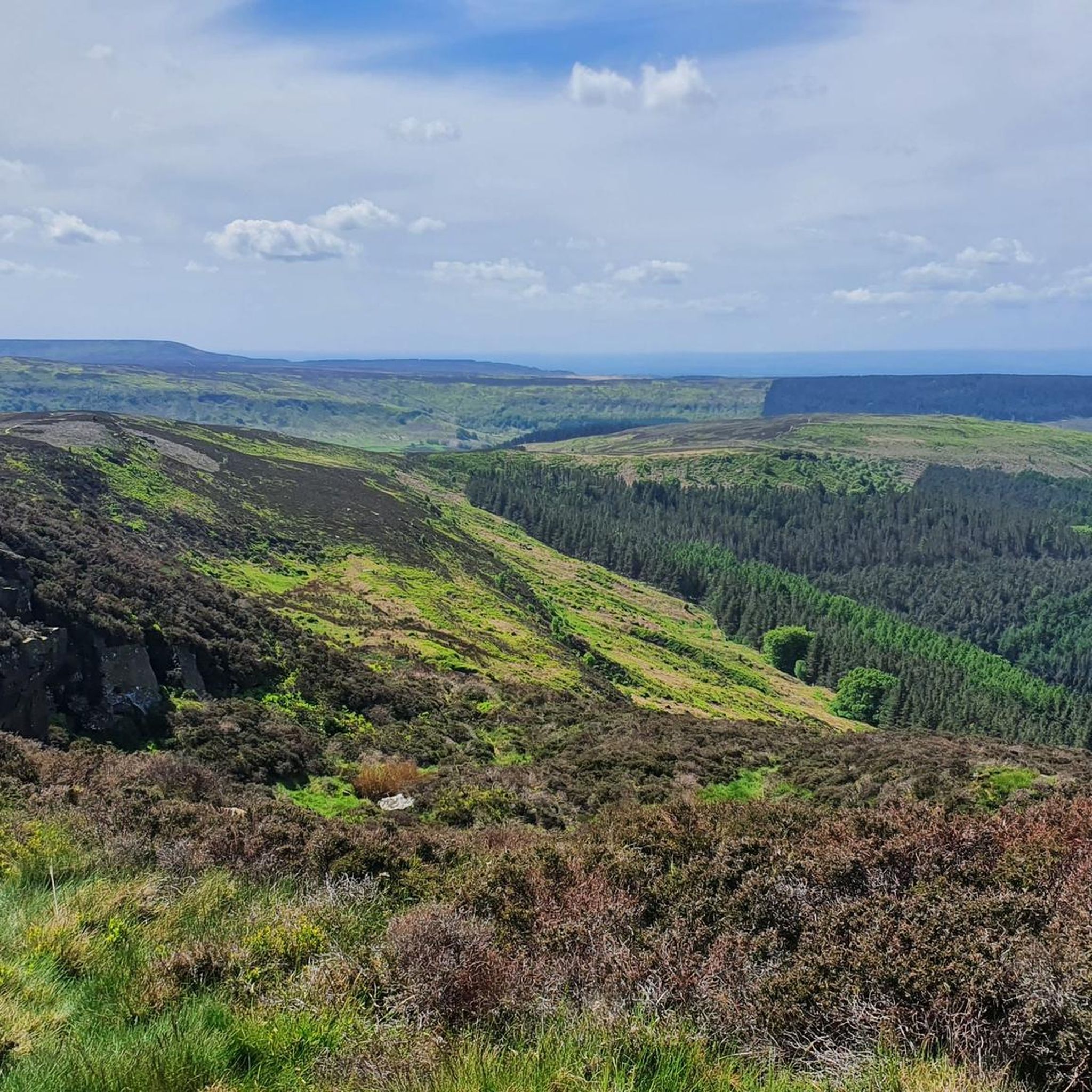
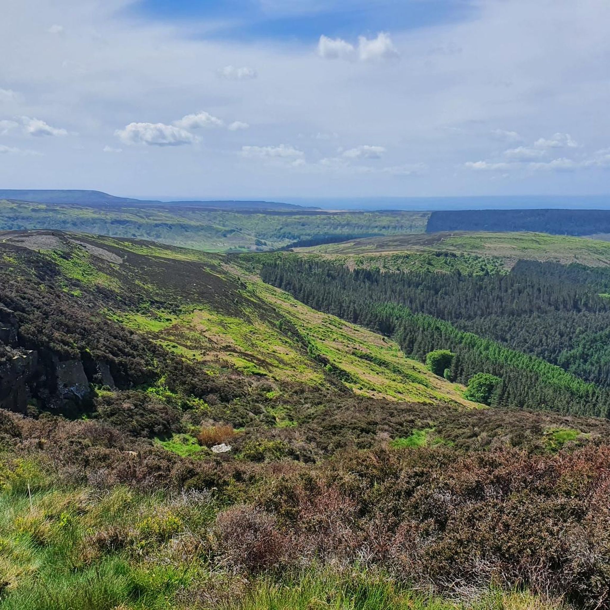
Hiking around Carlton in Cleveland offers access to diverse landscapes within the North York Moors National Park. The region features rolling moorland, prominent hills like Carlton Bank, and distinctive rock formations such as The Wainstones. Trails often include varied terrain, from open paths with panoramic views to sections through woodlands and along river gorges.
Best hiking trails around Carlton
- The most popular hiking route is Cringle Moor and Lord Stones loop, a 3.4 miles (5.5 km) easy trail that takes 1 hour 40 minutes to complete. This route features gentle ascents and views of the surrounding moorland.
- Another top favourite among local hikers is Gold Hill via Live Moor and Carlton Bank loop — North York Moors National Park, a moderate 5.1 miles (8.2 km) path. This trail offers varied terrain across moorland and includes sections with elevated views.
- Local hikers also love the Cringle End Summit – The Wainstones loop from Carlton in Cleveland, a 7.4 miles (11.9 km) trail leading through moorland and past the distinctive Wainstones rock formations, often completed in about 3 hours 43 minutes.
- Hiking around Carlton is defined by open moorland, prominent hills, and unique rock formations. The network offers options for various ability levels, from easy walks to more challenging routes.
- The routes in Carlton are highly rated by the komoot community with an average score of 4.5 stars from over 270 reviews. More than 2600 hikers have used komoot to explore Carlton's varied terrain.
Last updated: June 23, 2026
4.7
(41)
343
hikers
5.46km
01:40
180m
180m
Embark on the Cringle Moor and Lord Stones loop, an easy hike that promises expansive views across North Yorkshire. You will gain 583 feet (178 metres) in elevation over its 3.4 miles (5.5 km) distance, typically completed in about 1 hour and 40 minutes. The route leads you to the summit of Cringle Moor, where you can enjoy extensive northern outlooks, including panoramas of Middlesbrough and the Cleveland plain. As you hike, you will experience moorland beauty, especially vibrant in autumn when heather and ferns paint the landscape in dusky pinks, greens, oranges, and reds. Be prepared for some steep, rocky steps on the final ascent to Cringle Moor.
Your hike begins and ends conveniently at Lord Stones Country Park, a great spot to find refreshments and facilities at its cafe and farm shop. While the trail is generally well-maintained, sections can become quite muddy after rain. For this reason, we recommend wearing sturdy and water-resistant footwear to ensure a comfortable experience. Plan your visit to make the most of the amenities available at the country park.
Beyond the scenic vistas, this route offers a journey through time with ancient sites like the Lord Stones Stone Circle and a Labyrinth Carving. These historical elements add a unique cultural layer to the natural beauty of the moorland. The Cringle Moor summit itself is notable as the third-highest point within the North York Moors National Park, making this loop a rewarding way to explore a significant part of the region's landscape and heritage.
4.2
(11)
69
hikers
Embark on the Gold Hill via Live Moor and Carlton Bank loop, a moderate hike through the North York Moors National Park. This 5.1-mile (8.2 km) route, with an elevation gain of 804 feet (245 metres), typically takes around 2 hours and 25 minutes to complete. You will traverse varied terrain, including natural paths, gravel sections, and quiet country lanes, with some steep climbs, especially towards Carlton Bank. From Gold Hill, enjoy expansive views of Live Moor, Holey Moor, and Faceby Plantation, extending across the Vale to Teesside. The summit of Carlton Bank offers panoramic vistas, where you can spot the distinctive Roseberry Topping and the rolling heather moorlands stretching towards the sea.
This loop is generally accessible, though some sections may require sure-footedness due to varied surfaces and gradients. The Live Moor section is known for its forgiving gradient, making it a less strenuous part of the journey. While the trail is classified as moderate, ensuring you have good fitness will enhance your enjoyment of the climbs and descents. Always check local conditions before you set out, especially concerning weather on the exposed moorlands.
As you hike, you will encounter significant historical and natural features. The route incorporates a section of the Cleveland Way, a long-distance footpath known for its well-maintained paths and consistent views. On Gold Hill, look for the ruins of an old enclosure and boundary stones, while Live Moor reveals remnants of a promontory fort and ancient field systems. The trail also passes near the site of a disused alum quarry and prehistoric stones at Lord Stones, offering glimpses into the region's rich past.

Sign up for free
4.9
(24)
190
hikers
21.0km
06:36
780m
780m
Hard hike. Very good fitness required. Mostly accessible paths. Sure-footedness required.
4.8
(9)
52
hikers
16.1km
04:58
540m
540m
Moderate hike. Good fitness required. Easily-accessible paths. Suitable for all skill levels.
4.7
(6)
36
hikers
Moderate hike. Good fitness required. Easily-accessible paths. Suitable for all skill levels.
Get access to more routes and recommendations from other explorers.
Sign up for free
Already have an account?
Our route recommendations are based on thousands of hikes, rides, and runs completed by other people on komoot.
Start today with a free account
Your next adventure awaits.
Login or Signup

Tips from the Community

This is where I realised wearing new boots for a hike this long was a BAD idea!
0
0
Lots of view points, people rock climbing and the up and downs test you as they are short, but a touch punchy for their short elevation!
0
0

Intense incline but the views at top were spectacular
0
0

The path running east-west along the ridge line is not well-trodden, it tends to disappear and reappear so you may end up having to walk through some knee-deep heather, but the views to the south over Scugdale are well worth it.
1
0

A Bronze Age burial mound that dates back to approximately 2000 BC. Unfortunately, walkers in the area have mistaken it as a cairn and have added their own stones to it, so the North York Moors National Park have added a sign opposite to avoid others doing the same.
0
0
Great views of Whorl Hill along the Cleveland Way from between Knolls End and Gold Hill.
1
0

Whorl Hill is between Faceby and Whorlton. It is dome shaped and covered in trees. There is a walk through the woods.
0
0
Frequently Asked Questions
How many hiking trails are available around Carlton?
There are over 30 hiking routes around Carlton, offering a variety of experiences within the North York Moors National Park. These range from easy walks to more challenging trails, catering to different fitness levels.
What kind of terrain can I expect on hikes around Carlton?
Hiking around Carlton is characterized by diverse terrain, including open moorland, prominent hills like Carlton Bank, and distinctive rock formations such as The Wainstones. You'll find paths through woodlands, along river gorges, and open sections with panoramic views.
Are there any easy hiking options suitable for beginners or families?
Yes, Carlton offers several easy hiking options. For instance, the Cringle Moor and Lord Stones loop is an easy 3.4-mile (5.5 km) trail with gentle ascents, perfect for a relaxed outing. In total, there are 10 easy routes available.
Can I find circular hiking routes in Carlton?
Many of the trails around Carlton are circular, allowing you to start and end at the same point. Examples include the Cringle Moor and Lord Stones loop and the Cringle End Summit – The Wainstones loop from Carlton in Cleveland.
Are dogs allowed on the hiking trails in Carlton?
Generally, dogs are welcome on trails in the North York Moors National Park, but it's crucial to keep them under control, especially around livestock and ground-nesting birds. Always check local signage for specific restrictions, and ensure you clean up after your pet.
What are some notable natural landmarks or viewpoints to see while hiking?
The area is rich in natural landmarks. You can visit The Wainstones, a distinctive rock formation, or reach the Carlton Bank Summit Trig Point for expansive views. Other notable spots include Cringle End Summit and Urra Moor – Highest Point of the North York Moors.
What do other hikers say about the trails around Carlton?
The trails around Carlton are highly rated by the komoot community, with an average score of 4.5 stars from over 270 reviews. Hikers often praise the varied terrain, the prominent hills, and the unique rock formations that define the region's natural beauty.
Are there any more challenging hikes for experienced hikers?
Yes, for those seeking a greater challenge, there are 2 difficult routes available. An example is The Wainstones – Cold Moor loop from Carlton in Cleveland, which covers nearly 13 miles (21 km) and features significant elevation changes.
Is there parking available near the trailheads?
While specific parking details for each trailhead are not provided in this guide, areas within the North York Moors National Park generally offer designated parking facilities at popular starting points for trails. It's advisable to check specific route details or local information for exact parking locations.
What is the best time of year to go hiking in Carlton?
The North York Moors offer beautiful hiking experiences year-round. Spring brings blooming heather, summer provides long daylight hours, and autumn showcases vibrant foliage. Winter hiking is possible but requires appropriate gear for potentially colder and wetter conditions on the exposed moorland.
Are there any specific attractions like waterfalls in the Carlton area?
While the Carlton area in Cleveland is known for its moorland, hills, and rock formations, it is not particularly noted for numerous waterfalls like some other regions. The focus here is more on expansive views and unique geological features.
What should I pack for a hike in Carlton, especially during different seasons?
Regardless of the season, always pack layers, waterproof outerwear, sturdy hiking boots, and sufficient water and snacks. For colder months, add a hat, gloves, and extra warm layers. A map, compass or GPS device, and a fully charged phone are also essential for navigation and safety on the moorland.
Are there places to eat or stay near the hiking trails in Carlton?
Carlton in Cleveland and the surrounding villages offer local pubs, cafes, and accommodation options. These can provide a welcome break or a place to stay before or after your hike, allowing you to experience local hospitality.
Most popular attractions around Carlton

Get inspired with the komoot mobile app


Explore more
Browse the best Hikes in other regions.
