The 20 Most Amazing Peaks around Langcliffe
Best mountain peaks around Langcliffe are found within the Yorkshire Dales National Park, offering diverse elevations and challenges. The village of Langcliffe itself features a prominent limestone scar, providing local ascents and scenic views. The wider area is characterized by iconic summits, including those part of the Yorkshire Three Peaks Challenge. This region provides a range of hiking experiences, from moderate climbs to more strenuous adventures.
Best mountain peaks around Langcliffe
- The most popular mountain peaks is Pen-y-Ghent, a…
Last updated: October 7, 2026
Pen-y-Ghent
Highlight • Summit
Tip by

Fountains Fell Summit Cairn
Highlight • Viewpoint
Tip by

Sign up now to discover places like this
Get recommendations on the best single tracks, peaks, & plenty of other exciting outdoor places.
Weets Top
Highlight • Summit
Tip by

Sheriff Hill
Highlight • Natural
Tip by

Smearsett Scar Trig Point
Highlight • Climb
Tip by

Sign up for free to discover even more peaks around Langcliffe.
Already have an account?
Start today with a free account
Your next adventure awaits.
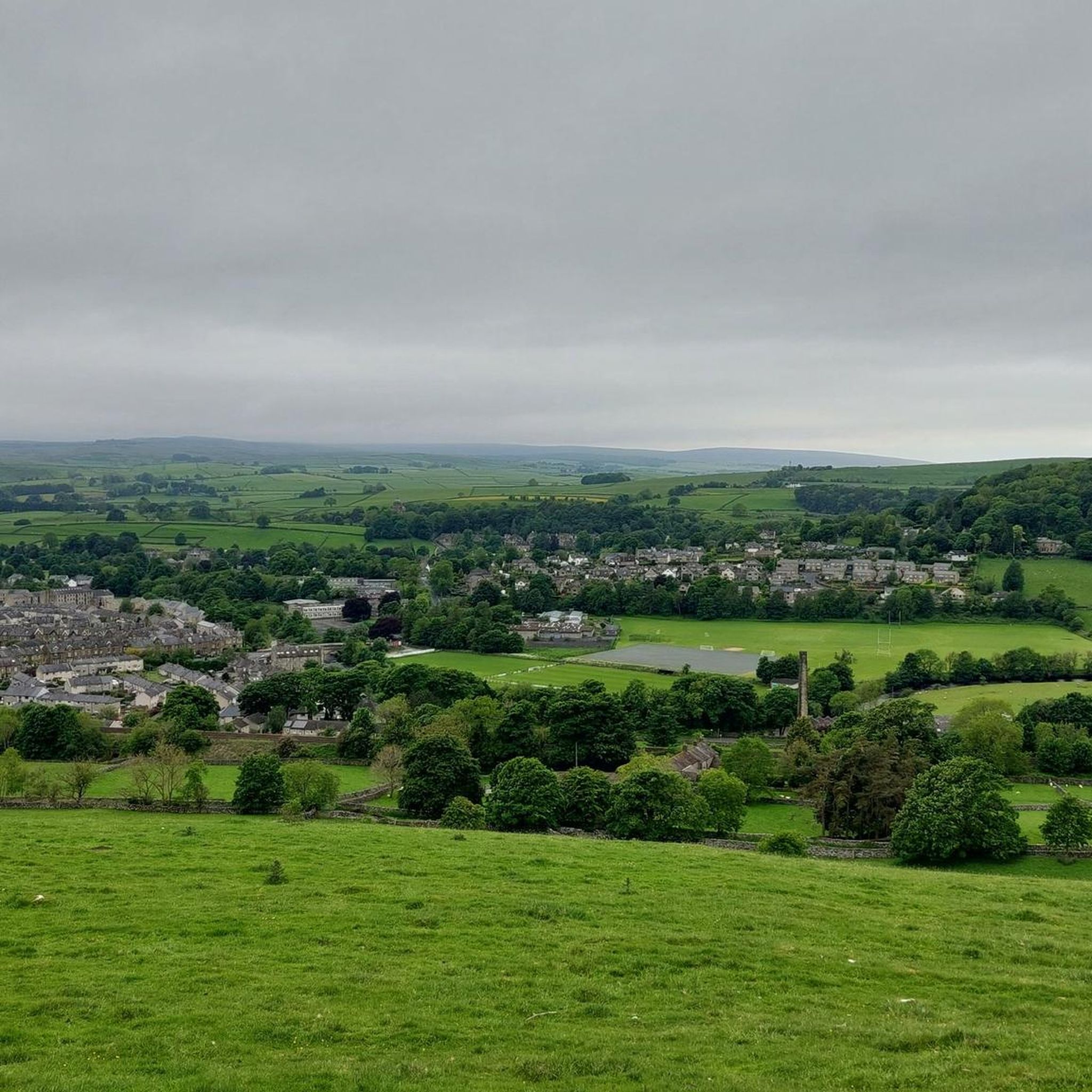
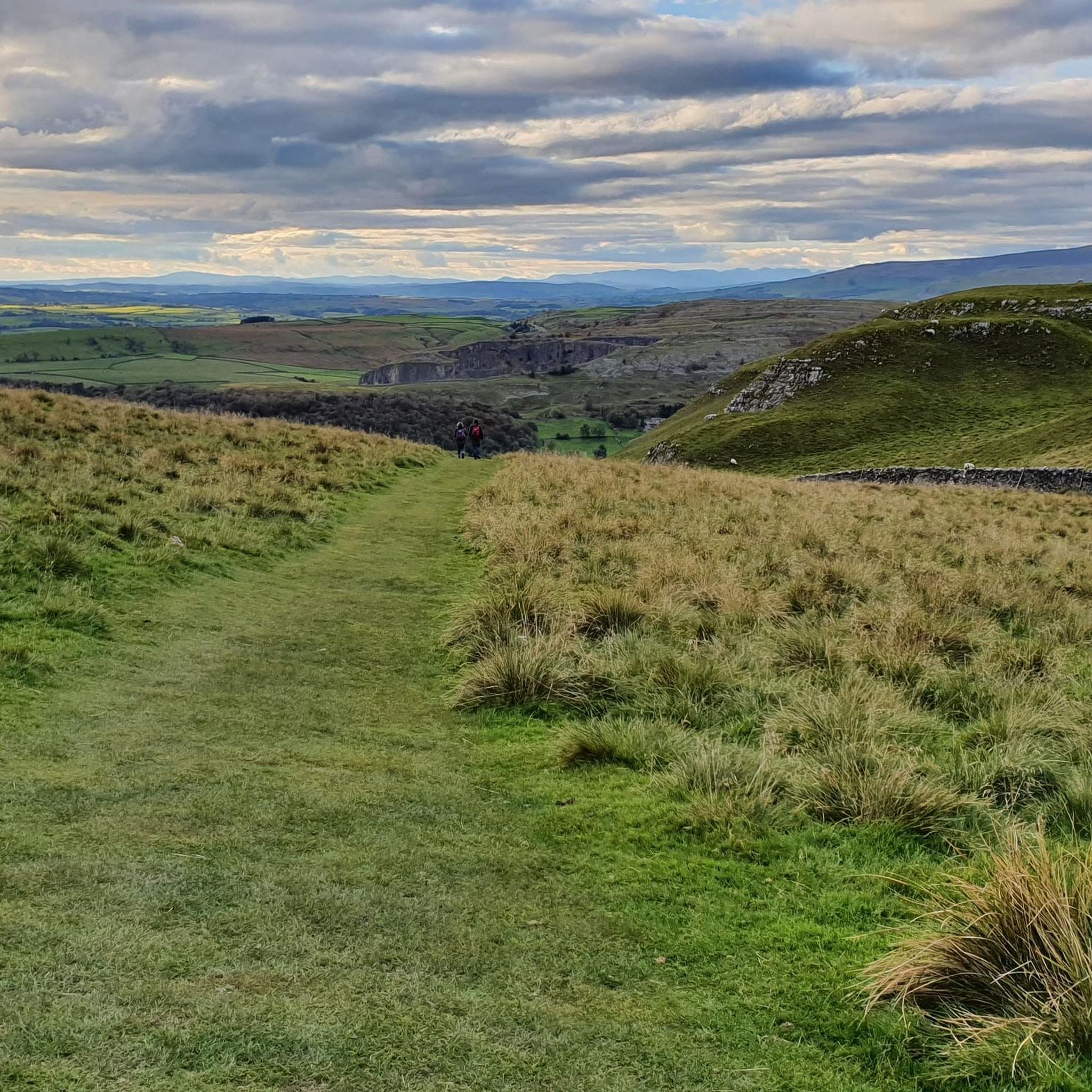
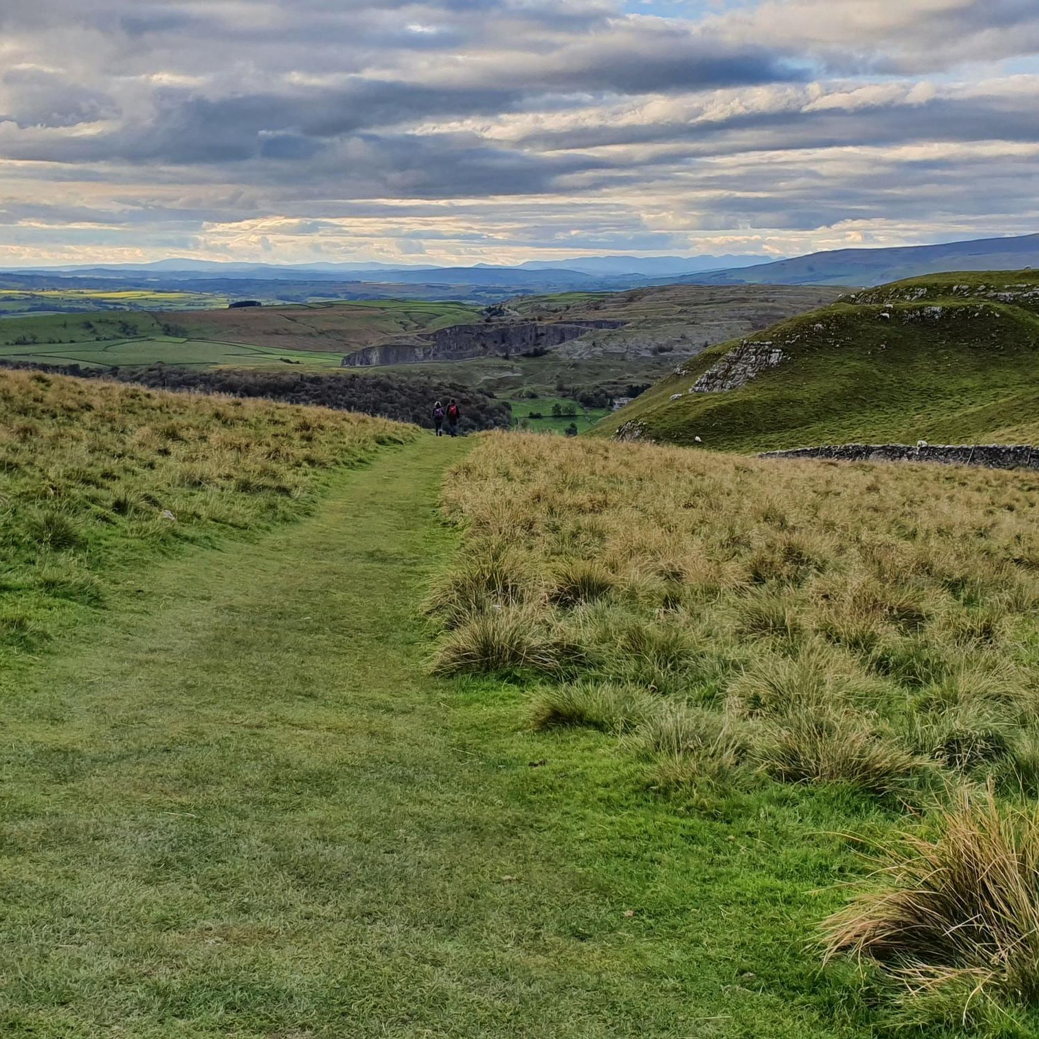
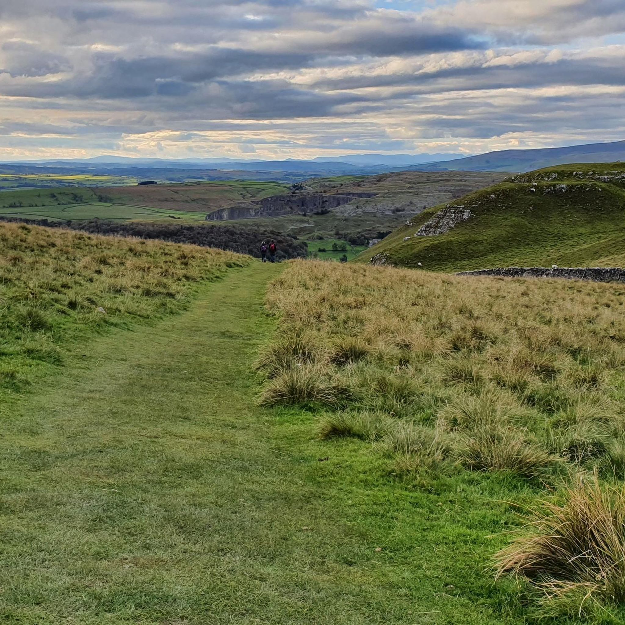
Tips from the Community


A great view of Smearsett Scar from the trig point. The climb is a lot more intimidating from ground level than it actually is.
0
0

Fountains Fell at 668 metres is a UK designated Nuttall, sitting in between its two neighbours, Darnbrook Fell at 624 metres, and Fountains Fell South Top at 662 metres. The summit of Fountains Fell is marked by a large stone cairn. There are nice views over towards Pen y Ghent, and the surrounding dales.
1
0
Take this route and follow on to the tops where you can admire Gordale Scar from high level. Usually quiet as most people just go up/down to Malham Cove
0
0

It's a wonderful place, Smearsett Scar. There are terrific views of upper Ribblesdale from up here, with Fountains Fell beyond, but most of all, I would say, the phenomenal silhouette of Pen-y-ghent.
1
0

Frequently Asked Questions
What are some of the most notable mountain peaks and elevations around Langcliffe?
The Langcliffe area, situated within the Yorkshire Dales National Park, offers a variety of prominent peaks. Directly adjacent to the village is Langcliffe Scar, known for its challenging cycling climb and scenic views. In the wider region, you'll find iconic summits like Pen-y-Ghent, the smallest of the Yorkshire Three Peaks, and Fountains Fell, a UK designated "Nuttall" with historical mining interest. Other significant peaks include Ingleborough and Whernside, which complete the Yorkshire Three Peaks Challenge.
Are there any easy mountain walks or accessible peaks near Langcliffe for beginners?
While many peaks offer challenges, some sections are more accessible. For a local ascent or scenic walk, Langcliffe Scar is easily reachable from the village. For easier hiking experiences, consider exploring the lower slopes or specific routes. For instance, the circular 6-mile route from Horton-in-Ribblesdale to Pen-y-Ghent is a popular, moderately challenging option that can be enjoyed by those with a reasonable fitness level. There are also several easy hikes around Langcliffe that offer gentler terrain.
What kind of terrain and elevation can I expect on mountain trails near Langcliffe?
The terrain around Langcliffe varies significantly. Langcliffe Scar features a prominent limestone cliff with an average gradient of 8% and a maximum of 20% over 1.2 miles, gaining 170 meters. Peaks like Pen-y-Ghent have decent paths but also sections requiring scrambling, especially towards the summit. Fountains Fell, at 668 meters, offers moorland paths, but visitors should be aware of old mine workings and sinkholes, necessitating sticking to marked paths. The area is characterized by limestone formations, traditional Dales peaks, and some challenging ascents.
What are the best times to visit the mountain peaks around Langcliffe for hiking?
The Yorkshire Dales, including the peaks around Langcliffe, are beautiful year-round. Spring and summer offer milder weather, longer daylight hours, and vibrant landscapes, making them ideal for hiking. Autumn brings stunning colors to the dales. While winter hiking is possible, it requires appropriate gear and experience due to potentially harsh weather conditions, including snow and ice, especially on higher elevations. Always check the weather forecast before heading out.
Are there family-friendly or dog-friendly mountain trails near Langcliffe?
Many trails in the Yorkshire Dales are suitable for families and dogs, provided they are well-behaved and kept on a lead where livestock are present. While some peaks like Pen-y-Ghent involve scrambling sections that might be challenging for very young children or some dogs, there are numerous easy hikes around Langcliffe that are more suitable for a family outing. Always assess the difficulty of a route against your family's and dog's capabilities.
What natural features and viewpoints can I discover on the peaks near Langcliffe?
The peaks around Langcliffe offer incredible natural beauty and panoramic viewpoints. From Langcliffe Scar, you can enjoy great views over the surrounding dales. Pen-y-Ghent provides incredible panoramic views of the "golden landscape" of the Yorkshire Dales. From Fountains Fell Summit Cairn, you can see south towards Malham or northwest towards Pen-y-Ghent. Weets Top also offers superb views, looking down on the fields of Malham. The area is rich in limestone formations, including the prominent scars and pavements.
What outdoor activities, besides hiking, can I do near the mountain peaks around Langcliffe?
The region around Langcliffe is excellent for various outdoor activities. Cycling is very popular, with Langcliffe Scar itself being a challenging climb for cyclists. There are numerous MTB trails around Langcliffe, including sections of the Great North Trail. Additionally, you can explore waterfall hikes, offering different scenic experiences.
Where can I find the true summit of Fountains Fell and what views does it offer?
The true summit of Fountains Fell is marked by a large stone cairn at 668 meters, lying a few hundred meters south of the Pennine Way trail. While the Pennine Way passes its highest point on the mountain at Fountains Fell Pennine Way Summit, the true summit offers commanding views. From here, you can enjoy vistas south across Malham or northwest towards Pen-y-Ghent, and even see Ingleborough and Whernside on a clear day.
What makes Weets Top a worthwhile visit for hikers and cyclists?
Weets Top is appreciated for its superb views and a trig point at its summit. It offers moorland paths where you can walk for miles without seeing many people, providing a sense of solitude while looking down on the fields of Malham. For cyclists, it's a rewarding climb with two great single-track trails descending towards Calton or Hetton. It can also be combined with other local sights like Gordale Scar and Janet's Foss for a varied day out.
What do visitors particularly enjoy about Pen-y-Ghent?
Visitors love Pen-y-Ghent for its incredible panoramic views of the "golden landscape" of the Yorkshire Dales. As the smallest of the Yorkshire Three Peaks, it's often considered a perfect warm-up for the challenge, with decent paths and some fun scrambling sections. Many appreciate it as a great starter mountain, offering good tracks and a rewarding ascent, especially when taking in the views on the way up.
Are there any specific safety considerations when hiking the peaks around Langcliffe?
Yes, safety is important. When hiking Fountains Fell, it's advised to stick to marked paths due to old mine workings and sinkholes. In general, for all peaks, be prepared for changing weather conditions in the Yorkshire Dales, which can be unpredictable. Always carry appropriate gear, including waterproofs, extra layers, navigation tools, and sufficient food and water. If attempting more challenging routes or during winter, ensure you have the necessary experience and equipment. Inform someone of your route and expected return time.
Can I find circular walks that include some of the mountain peaks near Langcliffe?
Yes, several circular walks incorporate the peaks. A popular option is the 6-mile circular route from Horton-in-Ribblesdale to Pen-y-Ghent. Many routes in the area are designed as loops, allowing you to experience the diverse landscapes and return to your starting point. For example, there are waterfall hikes around Langcliffe that offer circular options, such as the Catrigg Force Waterfall loop from Langcliffe.
Most popular routes around Langcliffe
Most popular attractions around Langcliffe

Get inspired with the komoot mobile app


Explore more
See even more amazing summits around Langcliffe with these guides:
