The best running trails around Charley
4.3
(81)
12,349
runners
651
runs
Jogging around Charley offers a diverse landscape for runners, characterized by rolling hills, woodlands, and open parkland. The region features varied terrain, including established trails through nature reserves and paths connecting historical sites. Elevations are generally moderate, with some routes incorporating steeper ascents to viewpoints. This area provides a mix of natural and semi-urban running environments.
Best jogging routes around Charley
- The most popular jogging route is The Outwoods – View from Buck Hill loop from Woodhouse, a 7.7…
Last updated: October 11, 2026
39
runners
12.4km
01:29
280m
270m
Moderate run. Good fitness required. Mostly paved surfaces. Suitable for all skill levels.
33
runners
32.8km
03:44
580m
580m
Hard run. Very good fitness required. Mostly paved surfaces. Suitable for all skill levels.

4.0
(1)
20
runners
5.23km
00:35
90m
90m
Moderate run. Good fitness required. Mostly paved surfaces. Suitable for all skill levels.
12
runners
6.15km
00:38
40m
40m
Moderate run. Good fitness required. Mostly paved surfaces. Suitable for all skill levels.
15
runners
7.17km
00:45
40m
40m
Moderate run. Good fitness required. Mostly paved surfaces. Suitable for all skill levels.
Get access to more routes and recommendations from other explorers.
Already have an account?
Our route recommendations are based on thousands of hikes, rides, and runs completed by other people on komoot.
Start today with a free account
Your next adventure awaits.

Tips from the Community

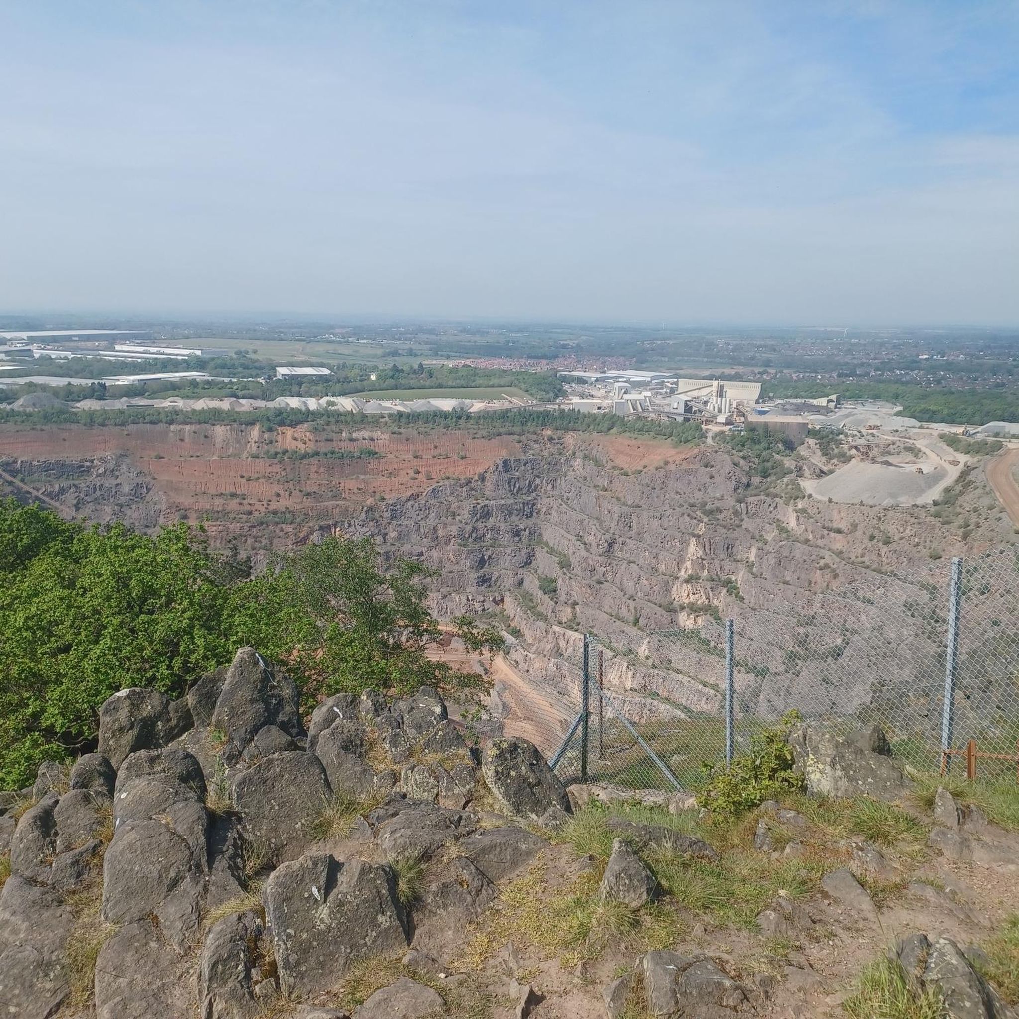
near Whitwick lake great views of bardon hill highest trigger point in Leicestershire
1
0


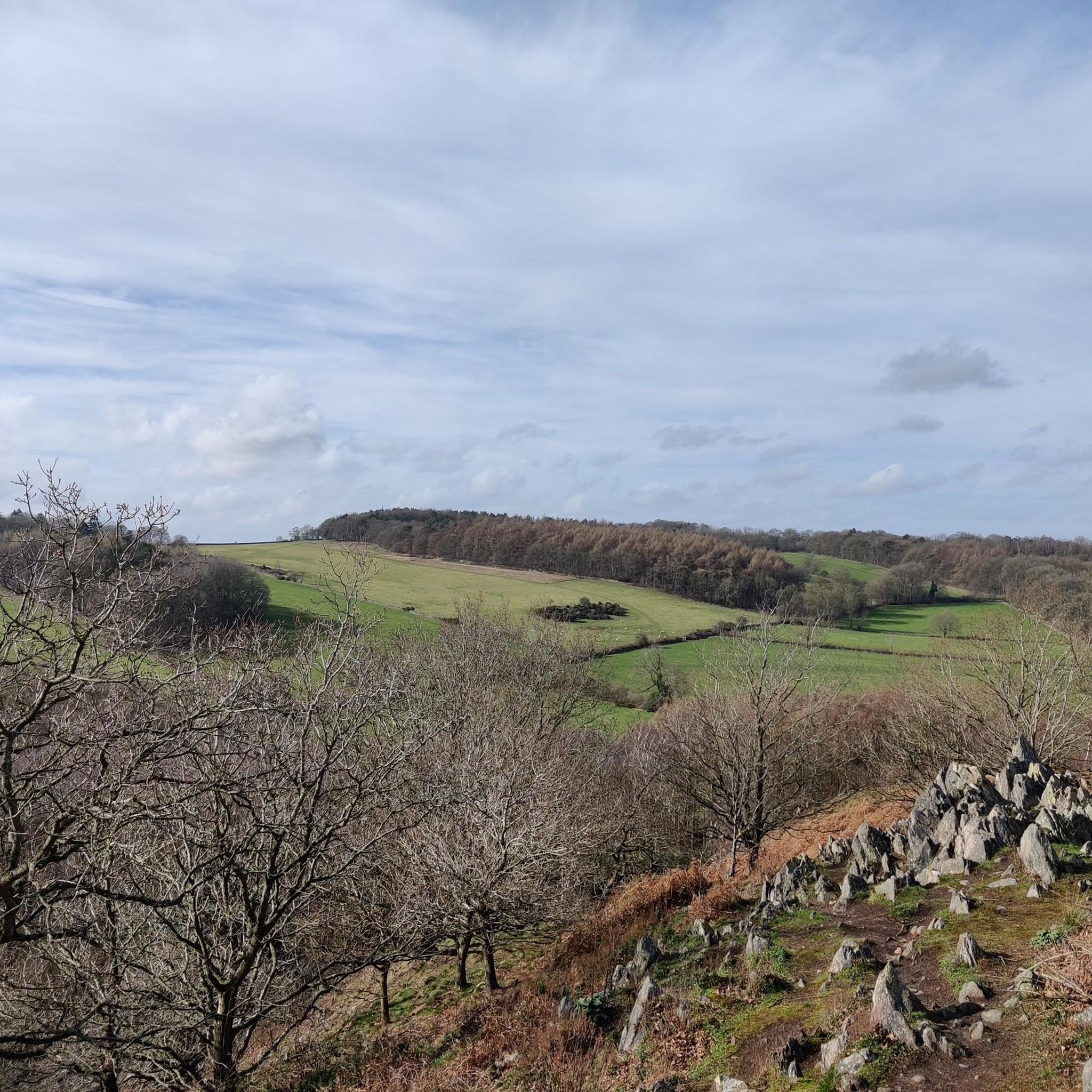
This route heads uphill towards Buck Hill. You’ll reach a small ridge with fantastic views - an ideal spot to take a quick break.
1
0
Great mountain bike ride things to see on the travel Whitwick woods and lake nearby his forest rock
1
0

Nice little parking spot..plenty of places even at mid day
0
0

Beacon Hill Country Park, close to Woodhouse Eaves, is owned and managed by Leicestershire County Council. Rising to a height of 245m, Beacon Hill is one of the highest points in Leicestershire and boasts spectacular views of Charnwood Forest and the Soar Valley. Covering 128ha, the Country Park consists of mixed woodland, grassland, open heathland, wetlands and rocky outcrops. It has a range of interesting features that await any visitor. The Country Park supports an important range of plants and animals, and is part of the 'Beacon Hill, Hangingstone and Outwoods' Site of Special Scientific Interest (SSSI). The management of the park aims to balance public access with the need to maintain and enhance the habitats for which the site is important. As a result, Beacon Hill Country Park was the recipient of the 1996 English Nature Award for Management.
0
0
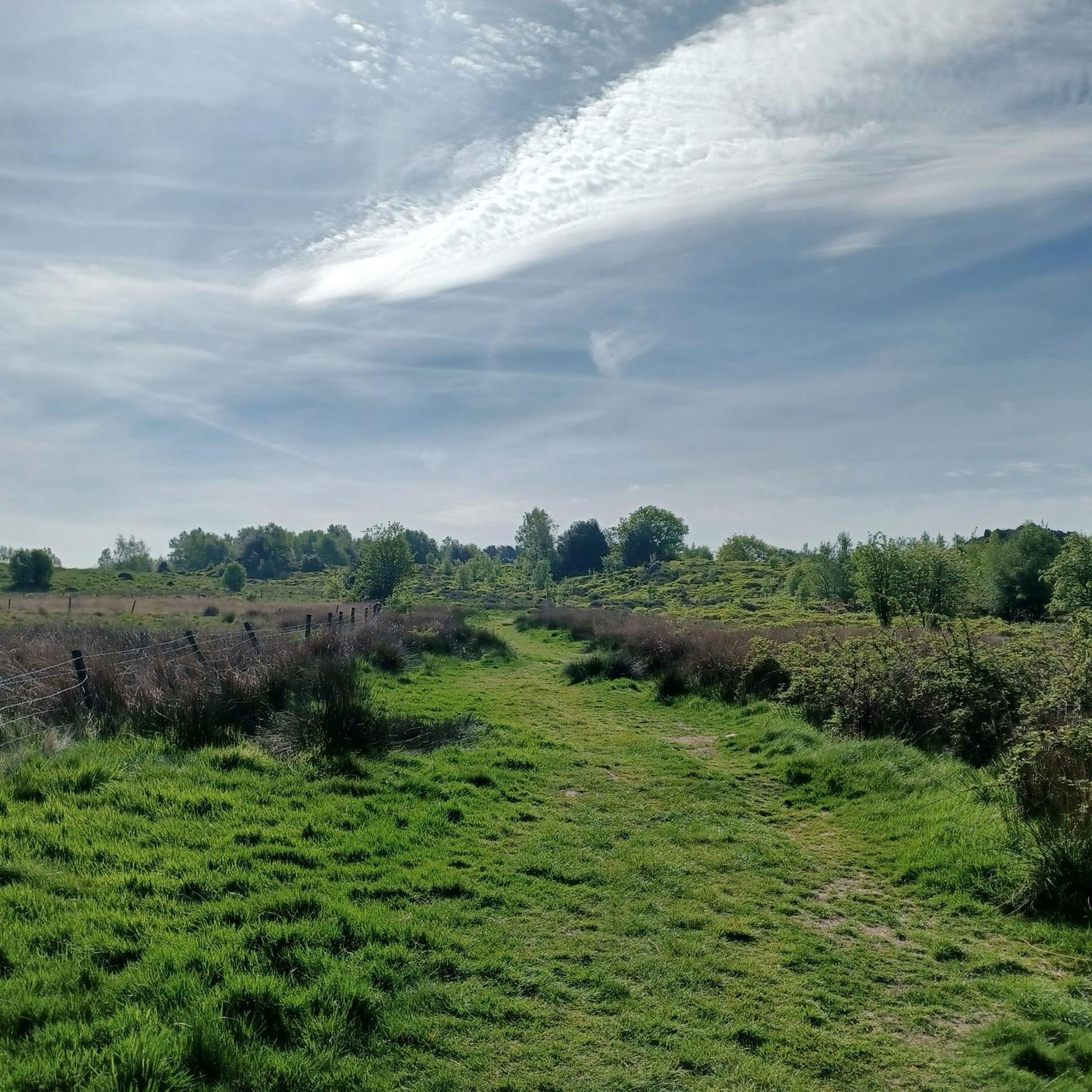
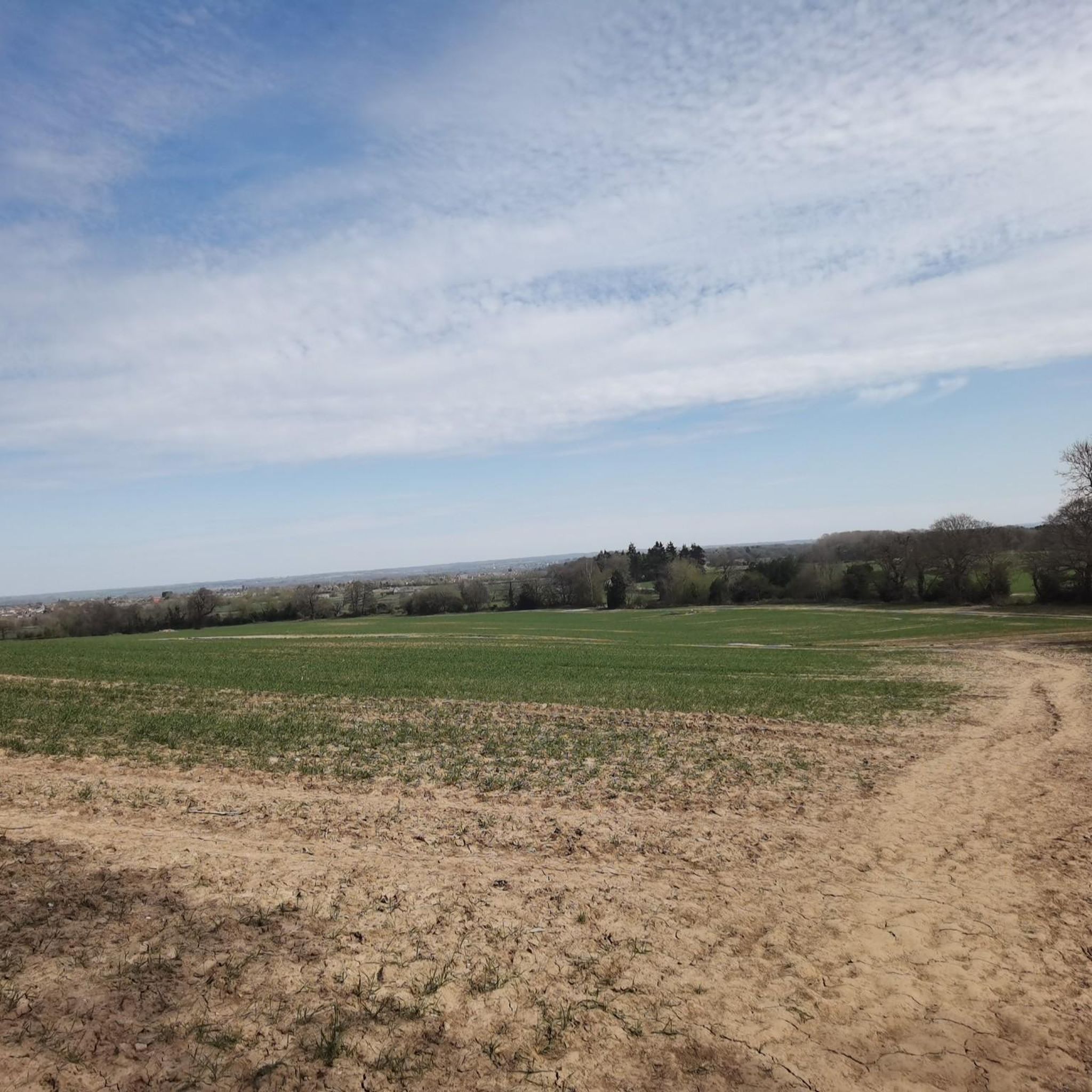
Broombriggs Farm is a mosaic of small fields enclosed by dry stone walls, hedgerows, fences and woodlands. They are managed to provide permanent pasture for grazing livestock and to grow various arable crops. The Farm was donated to Leicestershire County Council in 1970 by the Frear family. Their desire was to preserve its natural beauty as a typical Charnwood Forest farm. Today, the farm is still managed in traditional ways which help to retain its varied landscapes and fine views over the surrounding countryside.
0
0
Frequently Asked Questions
How many running routes are available in Charley?
Charley offers a wide selection of running routes, with over 650 trails available on komoot. These range from easy jogs to more challenging runs, catering to all fitness levels.
Are there easy running routes suitable for beginners in Charley?
Yes, Charley has many easy running routes perfect for beginners. There are 71 routes rated as 'easy'. An example is the Running loop from Whitwick, which is just under 5 km with minimal elevation gain.
Can I find circular jogging routes around Charley?
Many of the running trails in Charley are circular, allowing you to start and finish at the same point. For instance, The Outwoods – View from Buck Hill loop from Woodhouse is a popular circular route offering scenic views.
What kind of scenery can I expect on the running trails in Charley?
The running routes in Charley feature diverse scenery, including rolling hills, dense woodlands, and open parkland. You'll find paths through nature reserves and trails connecting historical sites. Some routes, like The Outwoods – View from Buck Hill loop from Woodhouse, offer rewarding viewpoints.
Are there any historical landmarks or natural attractions along the running routes?
Absolutely. Charley's routes often pass by significant landmarks and natural features. You can explore historical sites like the Bradgate Park, which includes the Ruins of Bradgate House and Old John Tower, as seen on the challenging Ruins of Bradgate House – Old John Tower, Bradgate Park loop from Bardon. Other natural highlights include Beacon Hill Summit and Swithland Wood.
What do other runners say about the trails in Charley?
The running routes in Charley are highly regarded by the komoot community, boasting an average rating of 4.4 stars from over 60 reviews. Runners frequently praise the varied terrain, well-maintained paths, and the beautiful natural surroundings, especially the woodlands and viewpoints.
Are there any challenging running routes for experienced runners in Charley?
Yes, Charley offers 99 routes rated as 'difficult' for experienced runners seeking a challenge. A notable example is the Ruins of Bradgate House – Old John Tower, Bradgate Park loop from Bardon, a 33.1 km route with significant elevation gain.
What is the typical duration of running trails in Charley?
Running trail durations in Charley vary widely. Shorter routes like The Labyrinth loop from Woodhouse can be completed in about 35 minutes (5.2 km), while longer, more challenging trails can take several hours, such as the Ruins of Bradgate House – Old John Tower, Bradgate Park loop from Bardon which typically takes over 3 hours.
Are there running routes in Charley that offer good viewpoints?
Many routes in Charley provide excellent viewpoints. The The Outwoods – View from Buck Hill loop from Woodhouse is specifically known for its views from Buck Hill. Another route, Beacon Hill Summit – View from Buck Hill loop from Woodhouse, also features scenic vistas.
What are the best times of year to go jogging in Charley?
Charley's diverse landscape makes it suitable for jogging year-round. Spring and autumn offer pleasant temperatures and vibrant scenery with changing foliage. Summer is great for early morning or late evening runs, while winter can provide crisp, quiet trails, though some paths might be muddy or icy.
Are there any running routes suitable for families with children?
While specific 'family-friendly' designations aren't always explicit, many of the easier and moderate routes with shorter distances and gentler terrain would be suitable for families. Consider routes like the Running loop from Whitwick for a less strenuous option.
Is public transport available to access running trails in Charley?
Charley is a region with various access points. While specific public transport details for each trailhead are not provided, many towns and villages within the area, such as Woodhouse and Whitwick, have local bus services that could provide access to nearby running routes. It's advisable to check local transport schedules for specific starting points.
Most popular attractions around Charley

Get inspired with the komoot mobile app


Explore more
Browse the best Running Trails & Routes in other regions.
