The best walks and hikes around Shangton
4.3
(278)
2,205
hikers
217
hikes
Hiking around Shangton, a village in Leicestershire, England, features a landscape of gentle rolling hills, agricultural fields, and historic villages. The area is characterized by a network of footpaths that traverse open countryside and connect to local landmarks. Elevations are generally low, offering accessible walking experiences across varied terrain.
Best hiking trails around Shangton
- The most popular hiking route is Mint and Ginger Café loop from Tur Langton, a 7.8 miles (12.6 km) trail that takes 3 hours 23…
Last updated: June 26, 2026
4.3
(4)
24
hikers
12.6km
03:23
160m
160m
Moderate hike. Good fitness required. Easily-accessible paths. Suitable for all skill levels.
5.0
(3)
23
hikers
11.3km
03:03
150m
150m
Moderate hike. Good fitness required. Easily-accessible paths. Suitable for all skill levels.

Sign up for free
5.0
(1)
21
hikers
8.22km
02:15
120m
130m
Moderate hike. Good fitness required. Easily-accessible paths. Suitable for all skill levels.
3.0
(1)
11
hikers
8.97km
02:21
70m
70m
Moderate hike. Good fitness required. Easily-accessible paths. Suitable for all skill levels.
5.0
(1)
7
hikers
Easy hike. Great for any fitness level. Easily-accessible paths. Suitable for all skill levels.
Get access to more routes and recommendations from other explorers.
Sign up for free
Already have an account?
Our route recommendations are based on thousands of hikes, rides, and runs completed by other people on komoot.
Start today with a free account
Your next adventure awaits.
Login or Signup
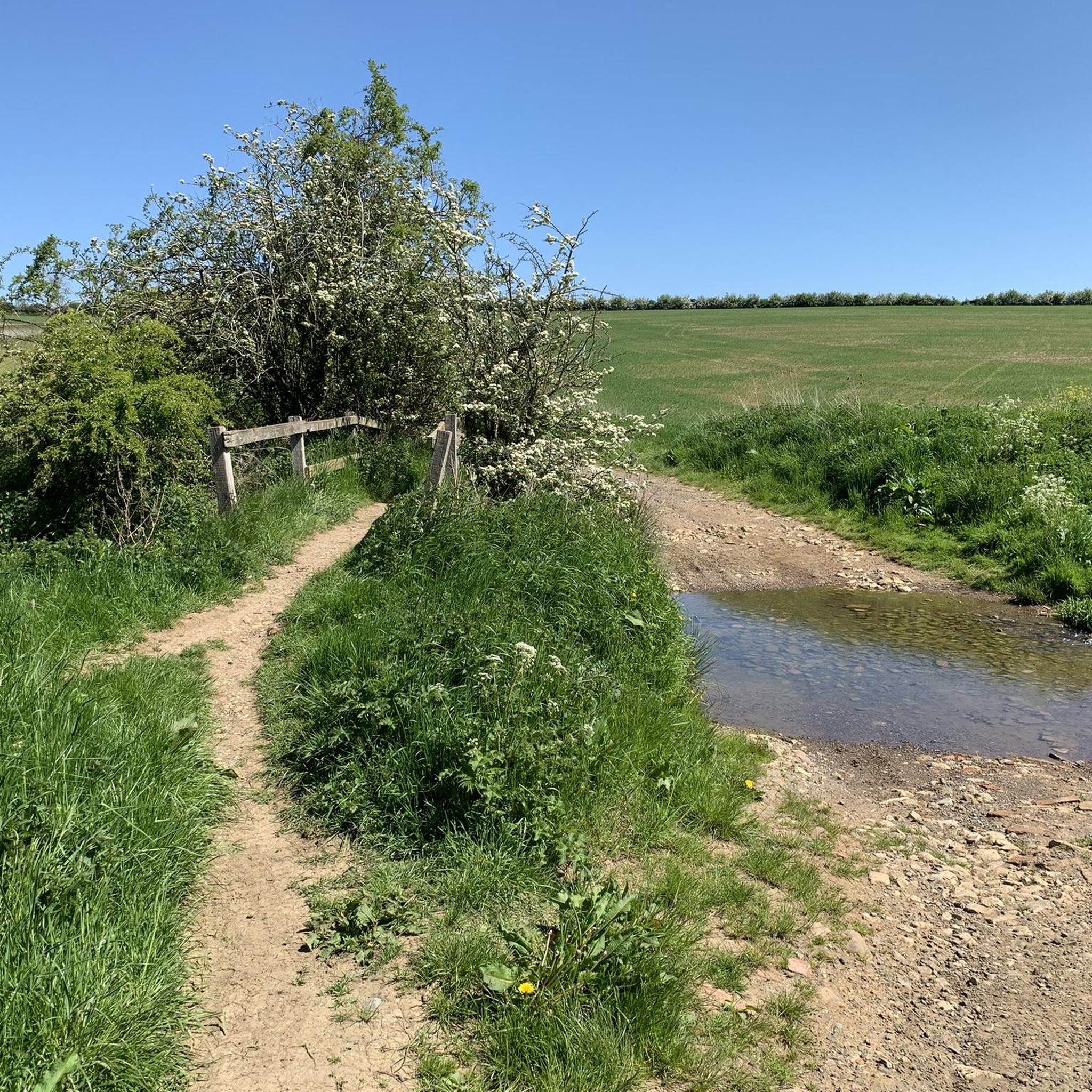

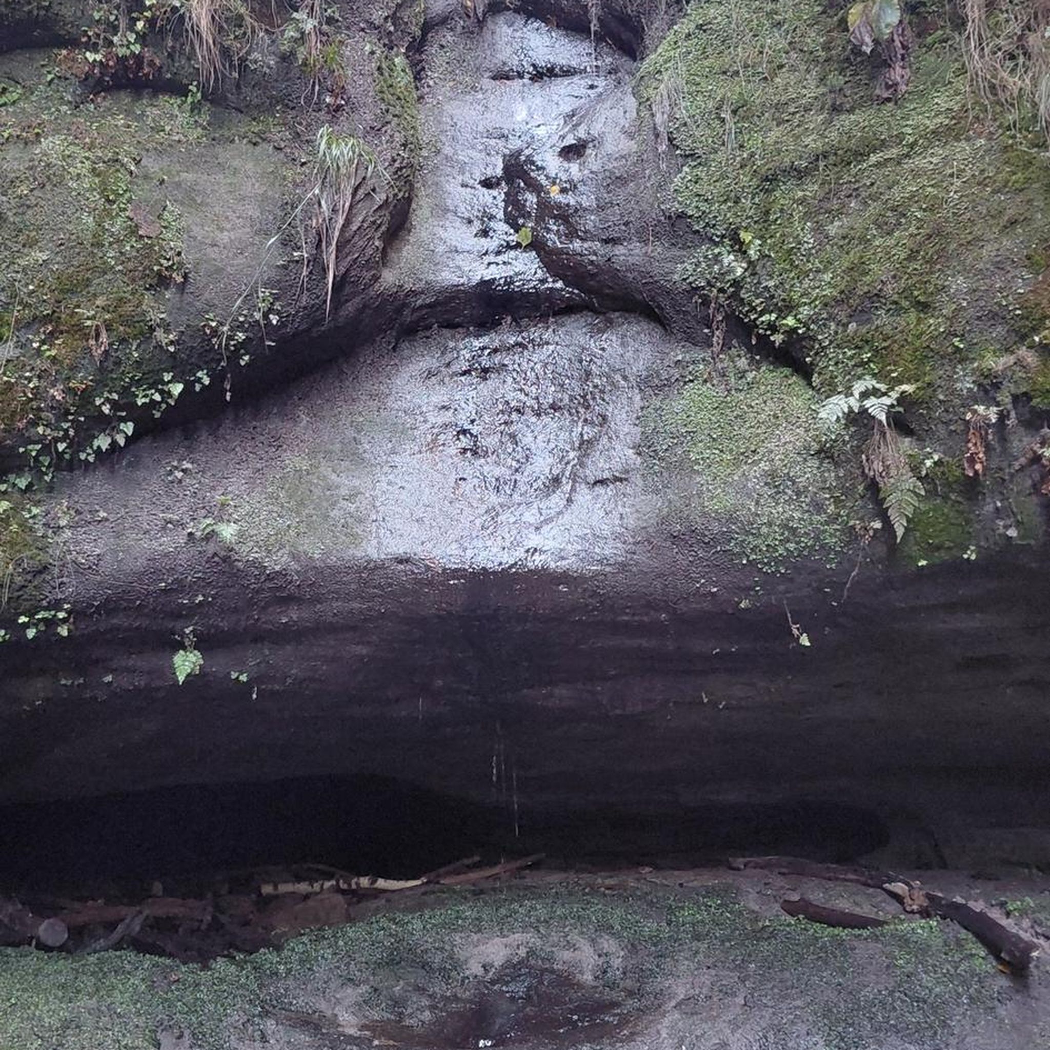
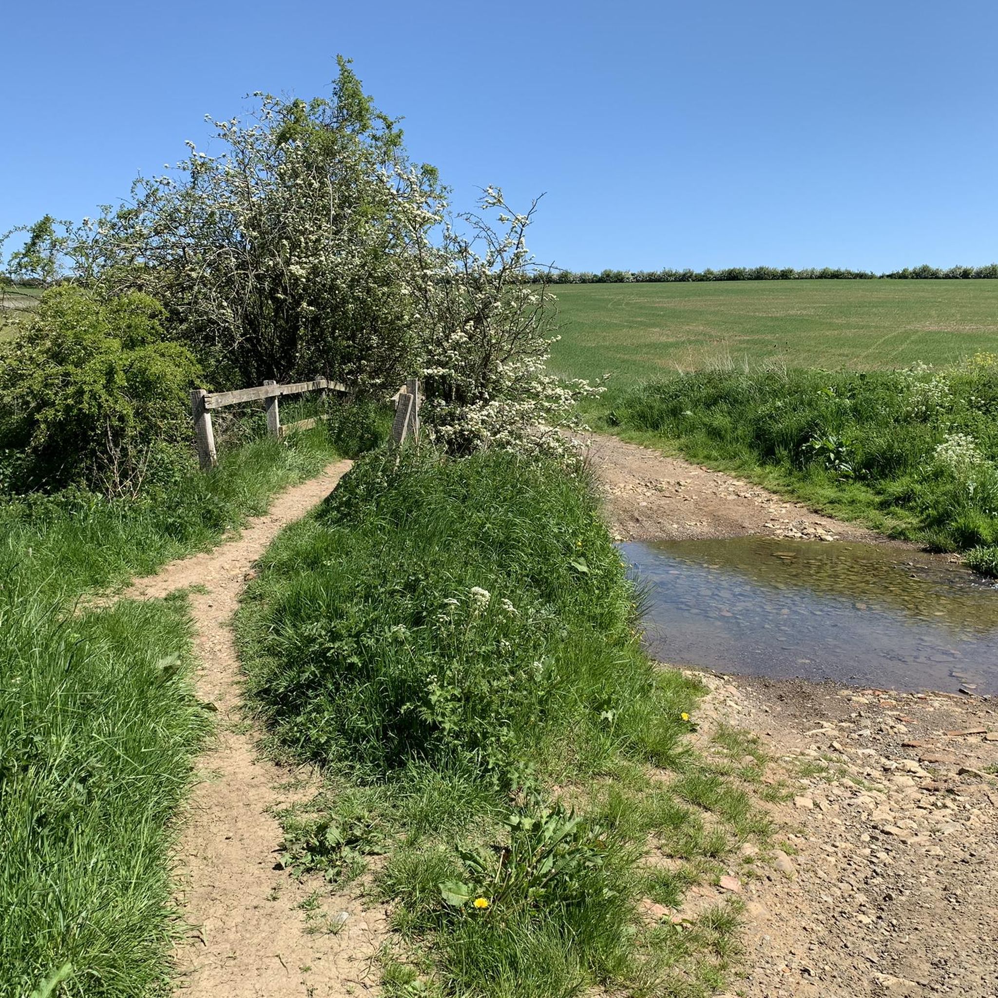
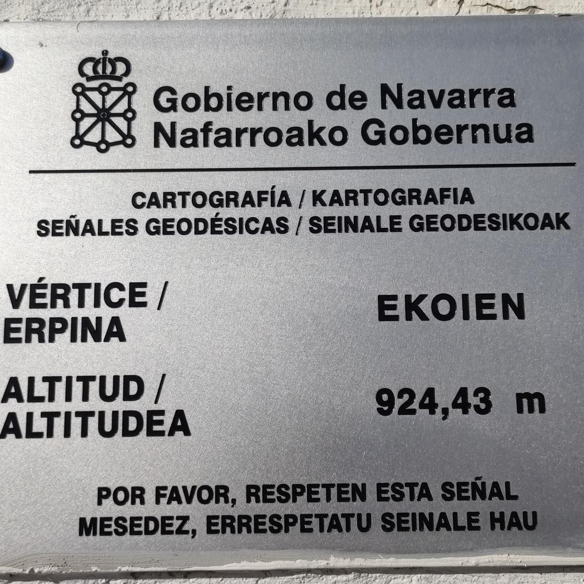
Tips from the Community


A fine cafe stop with plenty of outside space for bikes and a good terrace. Good food too, from full breakfast to pastries and cakes.
0
0


Saddington Tunnel, Leicestershire This is the north-west portal of Saddington Tunnel (Fleckney Tunnel) on the Grand Union Canal (Leicester Section). The tunnel is not quite straight, because miscalculations during its construction required some "adjustment". The tunnel is just over half a mile long (about 807 metres). Standard seven foot beam narrowboats can pass in the tunnel, with care. There are bats in this tunnel, and a narrowboat is in it navigating towards Leicester. There is no towpath in the tunnel, so horses were led across the top of the tunnel along the path which can be seen above the tunnel entrance. source: https://www.geograph.org.uk/photo/3655795
0
0
This slightly crooked Leicester Canal tunnel was constructed in 1797 and is 808 metres long and available for two way working for boats of 3.96 metres or less beam and maximum of 2.13 metres high. The tunnel does not have an internal towpath - if walking or cycling along the Leicester Canal's towpath then follow the marked route which goes up and over the hillside directly following the tunnel's subterranean route. Saddington Feeder Arm connects the Leicester Canal with Saddington Reservoir - fed by water from Saddington and Laughton Brooks, the reservoir was constructed in the 1790s as a water source for the canal. source: http://www.grandunioncanal.co.uk/Saddington-Tunnel.html
0
0

Originating in medieval times, Saint Leonards Church dates back to the 13th to 15th century AD. It's a pleasant place to stop for a rest as it's tucked away off a footpath in the quaint village of Thorpe Langton. There's also a bench outside.
0
0
East Langton is a quaint village that boasts a charming pub, an idyllic cricket ground, and impressive former stables that were once a source of local employment for providing horses for the hunting field. Notably, the village was home to John William Logan, a railway contractor (Logan and Hemingway), who lived at The Grange from 1876 until his passing in 1925. A two-time Liberal MP for Harborough, he left a lasting impact on the village, contributing to features such as the castellated water tower and cricket ground.
0
0
Keythorpe trig point is not visible from the road. You can see it in the hedge from the field.
0
0
Frequently Asked Questions
How many hiking trails are available around Shangton?
There are over 225 hiking routes around Shangton, offering a wide variety of options for different skill levels. The komoot community has explored these trails over 2000 times, providing valuable insights and ratings.
What kind of terrain can I expect on hikes near Shangton?
Hikes around Shangton feature a landscape of gentle rolling hills, agricultural fields, and historic villages. The trails primarily traverse open countryside and connect local landmarks, with generally low elevations, making for accessible walking experiences.
Are there any family-friendly hiking options in Shangton?
Yes, Shangton offers several easy routes suitable for families. For example, the Hiking loop from Illston on the Hill is an easy 3.4-mile (5.5 km) trail that can be completed in under 2 hours, perfect for a family outing. Many paths are well-maintained, though some may involve stiles or uneven ground.
Can I bring my dog on the hiking trails around Shangton?
Many of the public footpaths around Shangton are dog-friendly, allowing you to enjoy the countryside with your canine companion. However, as much of the area is agricultural land, please ensure dogs are kept on a lead, especially when passing through fields with livestock, and always clean up after them.
What are some notable landmarks or attractions I can see while hiking?
While hiking around Shangton, you can discover several interesting points. Nearby attractions include the historic Foxton Locks, a flight of ten locks on the Grand Union Canal, and the tranquil Saddington Reservoir. Some routes, like the Hallaton Castle Hill Camp – Keythorpe Trig Point loop from Goadby, also include historical points of interest.
Are there any circular walking routes available?
Yes, Shangton is well-suited for circular walks, with many routes designed to start and end in the same location. Popular options include the Mint and Ginger Café loop from Tur Langton and the Saddington Tunnel loop from Smeeton Westerby, both offering scenic circular journeys through the rural landscape.
Where can I find parking for hiking trails in Shangton?
Parking for hiking trails in Shangton is typically available in or near the villages that serve as starting points for routes. Look for designated village car parks or consider parking responsibly on street where permitted. Always check local signage for any restrictions.
What is the best time of year to go hiking in Shangton?
The best time to hike in Shangton is generally during the spring, summer, and early autumn months (April to October). During these periods, the weather is milder, the countryside is vibrant, and paths are typically drier. Winter hiking is possible but can be muddy and requires appropriate gear.
Are there any pubs or cafes along the hiking routes for a break?
Yes, several hiking routes in the Shangton area pass through or near villages that offer pubs and cafes. For instance, the Mint and Ginger Café loop from Tur Langton is named after a local establishment, providing a convenient stop for refreshments. Many local pubs also welcome hikers for a well-deserved break.
What do other hikers say about the trails in Shangton?
The trails in Shangton are highly rated by the komoot community, with an average score of 4.3 stars from over 200 reviews. Hikers often praise the peaceful rural landscapes, the well-maintained network of footpaths, and the charming villages encountered along the way.
Are there any longer or more challenging hikes for experienced hikers?
While Shangton's terrain is generally characterized by rolling hills, there are longer routes for those seeking more distance. The Gartree Road Crossroads – Rolleston Lake loop from Glooston is a moderate 8.9-mile (14.3 km) trail, offering a more extended exploration of the countryside. There are 9 difficult routes in the area for those looking for a greater challenge.
Is public transport an option to reach hiking starting points?
Public transport options to Shangton and surrounding villages are limited, primarily relying on local bus services. It's advisable to check bus schedules in advance, as services may be infrequent, especially on weekends. Driving and parking in villages is often the most convenient way to access trailheads.
Are there any trails with waterfalls near Shangton?
The landscape around Shangton, characterized by gentle rolling hills and agricultural fields, does not typically feature large waterfalls. While you might encounter small streams or cascades, the area is not known for significant waterfall trails.
Most popular attractions around Shangton

Get inspired with the komoot mobile app


Explore more
Browse the best Hikes in other regions.
