The best walks and hikes around Myerscough And Bilsborrow
4.5
(778)
7,267
hikers
10
hikes
Hiking around Myerscough And Bilsborrow offers diverse natural landscapes within Lancashire's Wyre district. The region features open meadows, extensive grasslands, and wooded areas, providing a serene atmosphere for exploration. Waterways like the River Brock and the Lancaster Canal crisscross the area, offering peaceful riverside and towpath routes. The terrain includes gentle elevations, with some routes extending towards the Forest of Bowland AONB.
Best hiking trails around Myerscough And Bilsborrow
- The most popular hiking route is Hiking loop from Myerscough and Bilsborrow, an easy 4.2 miles (6.8 km) trail that takes 1 hour 44 minutes to complete. This loop explores the varied local landscape around the villages.
- Another top favourite among local hikers is Brock Stream loop from Myerscough and Bilsborrow, a moderate 7.1 miles (11.5 km) path. This route follows the Brock Stream, offering scenic riverside walking.
- Local hikers also love the View of Greenhalgh Castle – Greenhalgh Castle loop from Myerscough and Bilsborrow, an 11.2 miles (18.1 km) trail leading through local countryside towards historical landmarks, often completed in about 4 hours 36 minutes.
- Hiking around Myerscough And Bilsborrow is defined by tranquil riverside paths, historic canal towpaths, and expansive grasslands interspersed with wooded areas. The network offers options for different ability levels, from easy strolls to moderate longer routes.
- The routes in Myerscough And Bilsborrow are highly rated by the komoot community with an average score of 4.5 stars from over 600 reviews. More than 7000 hikers have used komoot to explore Myerscough And Bilsborrow's varied terrain.
Last updated: July 8, 2026
5.0
(2)
18
hikers
6.83km
01:44
20m
20m
Easy hike. Great for any fitness level. Easily-accessible paths. Suitable for all skill levels.
5.0
(1)
18
hikers
Moderate hike. Good fitness required. Easily-accessible paths. Suitable for all skill levels.

Sign up for free
5.0
(2)
10
hikers
18.6km
04:43
50m
50m
Moderate hike. Good fitness required. Easily-accessible paths. Suitable for all skill levels.
4
hikers
Hard hike. Very good fitness required. Easily-accessible paths. Suitable for all skill levels.
5.0
(1)
2
hikers
8.73km
02:18
70m
70m
Moderate hike. Good fitness required. Easily-accessible paths. Suitable for all skill levels.
Get access to more routes and recommendations from other explorers.
Sign up for free
Already have an account?
Our route recommendations are based on thousands of hikes, rides, and runs completed by other people on komoot.
Start today with a free account
Your next adventure awaits.
Login or Signup
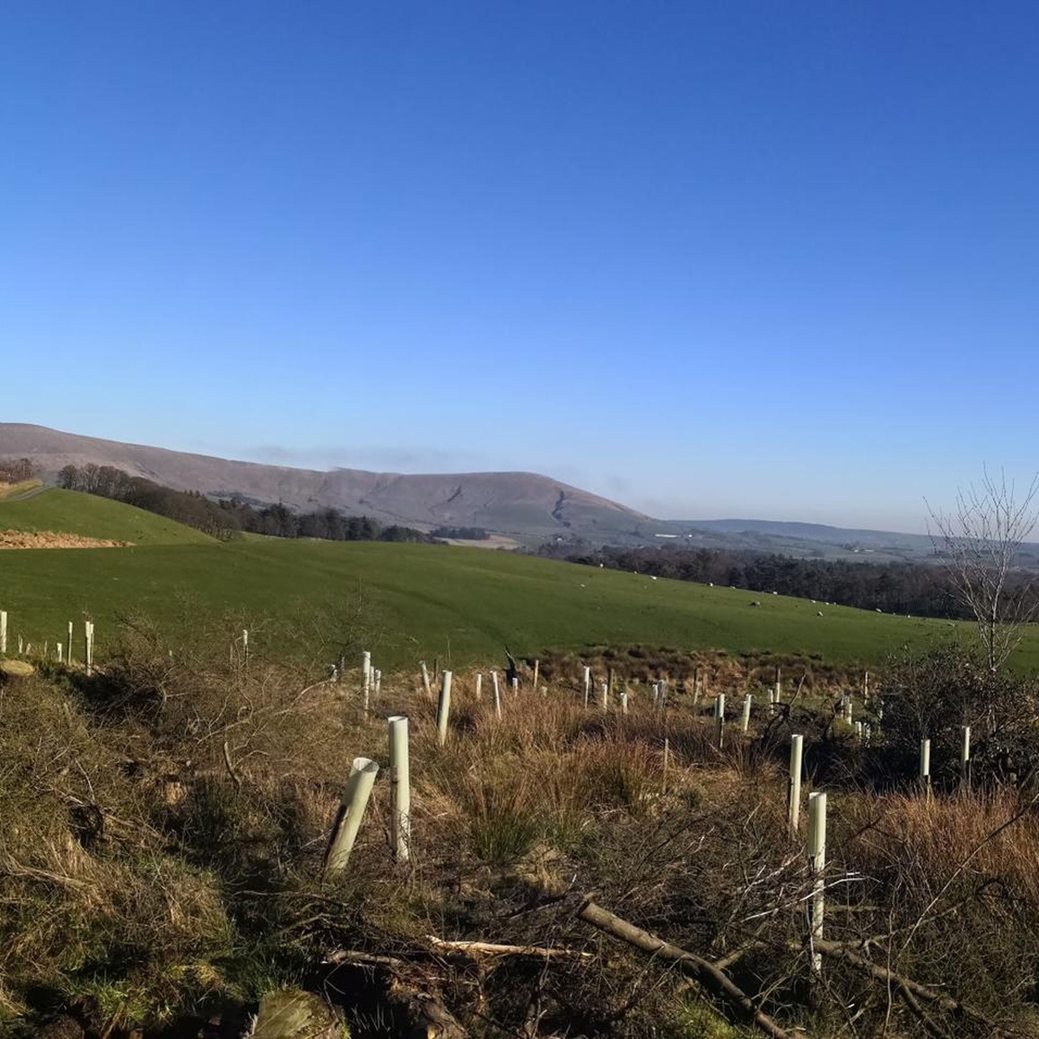
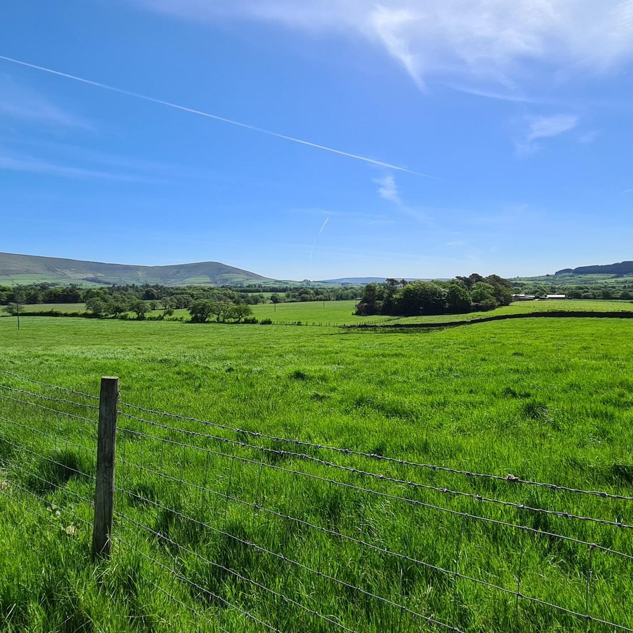
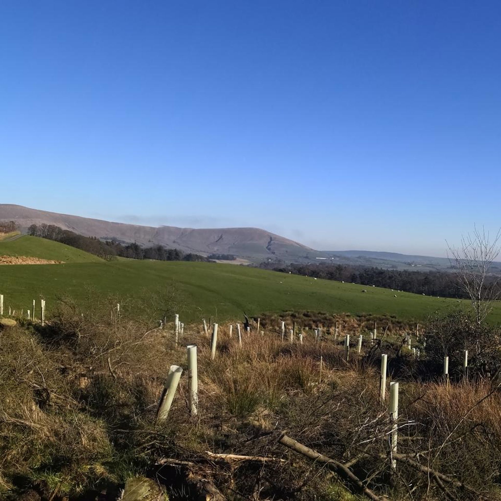

Tips from the Community


Great pie/sandwich shop on Garstang High St. Fantastic place to grab a takeaway pie, sandwich and brew during a ride, beaches nearby for somewhere to sit whilst you scoff your grub.
0
0

Lovely site, can get very busy in the summer months. Beautiful walk along the river is you wish, and cool refreshing water to dip your toes in.
0
0

Brock Bottom picnic area and nature reserve is a pretty site on the river Brock on the edge of the Forest of Bowland. There used to be a cotton mill here and several cottages for the workers. The mill was built in 1790 and eventually closed, by the 1930's the site was a ruin. You can still see some of the old buildings. The walking along the river path either up or down stream is enjoyable. Upstream can be combined with Beacon Fell for a 7.5mile ish loop.
0
0


Frequently Asked Questions
How many hiking trails are there in Myerscough And Bilsborrow?
There are over 250 hiking routes available around Myerscough And Bilsborrow. These trails offer a diverse range of experiences, from easy strolls along waterways to more challenging routes exploring the local countryside.
What kind of terrain can I expect on hikes in Myerscough And Bilsborrow?
The terrain in Myerscough And Bilsborrow is quite varied. You'll find peaceful riverside paths along the River Brock, historic towpaths alongside the Lancaster Canal, and expansive grasslands. There are also pockets of woodland and gentle elevations, with some routes extending towards the nearby Forest of Bowland AONB, offering more varied landscapes.
What do other hikers enjoy most about hiking in Myerscough And Bilsborrow?
The hiking routes in Myerscough And Bilsborrow are highly rated by the komoot community, with an average score of 4.5 stars from over 640 reviews. Hikers often praise the tranquil riverside paths, the charm of the canal towpaths, and the serene atmosphere of the open meadows and wooded areas.
Are there hiking options for different skill levels?
Yes, Myerscough And Bilsborrow offers a good range of trails for various abilities. You can find over 100 easy routes perfect for a relaxed walk, nearly 140 moderate trails for those seeking a bit more challenge, and a few more difficult options for experienced hikers.
Are there any circular hiking routes in Myerscough And Bilsborrow?
Many of the trails in the area are circular, allowing you to start and end at the same point. A popular easy option is the Hiking loop from Myerscough and Bilsborrow. For a moderate challenge, consider the Brock Stream loop from Myerscough and Bilsborrow, which follows the scenic Brock Stream.
Can I bring my dog on hikes in Myerscough And Bilsborrow?
Many trails in Myerscough And Bilsborrow are suitable for dogs, especially those along canal towpaths and through open grasslands. However, always be mindful of livestock in fields and keep dogs on a lead where necessary. Check specific route details on komoot for any restrictions or recommendations.
Are there family-friendly hiking trails in Myerscough And Bilsborrow?
Yes, the region offers several family-friendly options, particularly the easier routes that feature gentle terrain. The paths along the Lancaster Canal towpath are generally flat and well-suited for families. The Hiking loop from Myerscough and Bilsborrow is an easy 4.2-mile trail that explores the local landscape and is a good choice for families.
What natural features or landmarks can I see while hiking?
You can explore various natural features and landmarks. The area is crisscrossed by the River Brock and the Lancaster Canal, offering scenic waterside walks. Nearby, you can find highlights like Nicky Nook Summit or Parlick Fell summit for expansive views. Haslam Park Nature Reserve also offers walking routes.
Are there any historical sites or points of interest along the trails?
Yes, the region has historical points of interest. The Lancaster Canal features the historic 18th-century Brock Aqueduct. You might also encounter some of the 15 listed buildings in the civil parish, including bridges and historic farmhouses. The View of Greenhalgh Castle – Greenhalgh Castle loop from Myerscough and Bilsborrow is a moderate route that leads towards historical landmarks.
What are the best times of year to go hiking in Myerscough And Bilsborrow?
Myerscough And Bilsborrow can be enjoyed year-round. Spring brings blooming wildflowers and fresh greenery, while summer offers longer daylight hours for extended hikes. Autumn provides beautiful foliage, and even winter can be picturesque, especially along the canal and river paths, though some higher or less maintained trails might be muddy.
Is public transport available to reach hiking trailheads?
While specific public transport links directly to every trailhead may vary, local bus services connect Myerscough and Bilsborrow with nearby towns like Preston. From these towns, you may be able to access certain starting points. It's advisable to check local bus schedules for the most up-to-date information on routes and stops near your desired trailhead.
Where can I find parking for hiking trails in Myerscough And Bilsborrow?
Parking is generally available in and around the villages of Myerscough and Bilsborrow, often near local amenities or designated public car parks. For specific trailheads, look for information on komoot route pages or local signage, as some popular starting points may have small car parks or roadside parking options.
Most popular routes around Myerscough And Bilsborrow
Most popular attractions around Myerscough And Bilsborrow

Get inspired with the komoot mobile app


Explore more
Browse the best Hikes in other regions.
