The best road cycling routes around Nateby
4.8
(81)
2,721
riders
128
rides
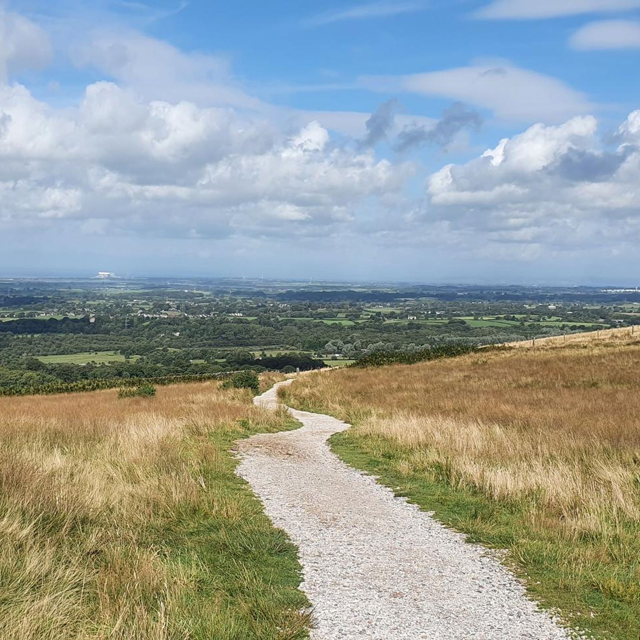
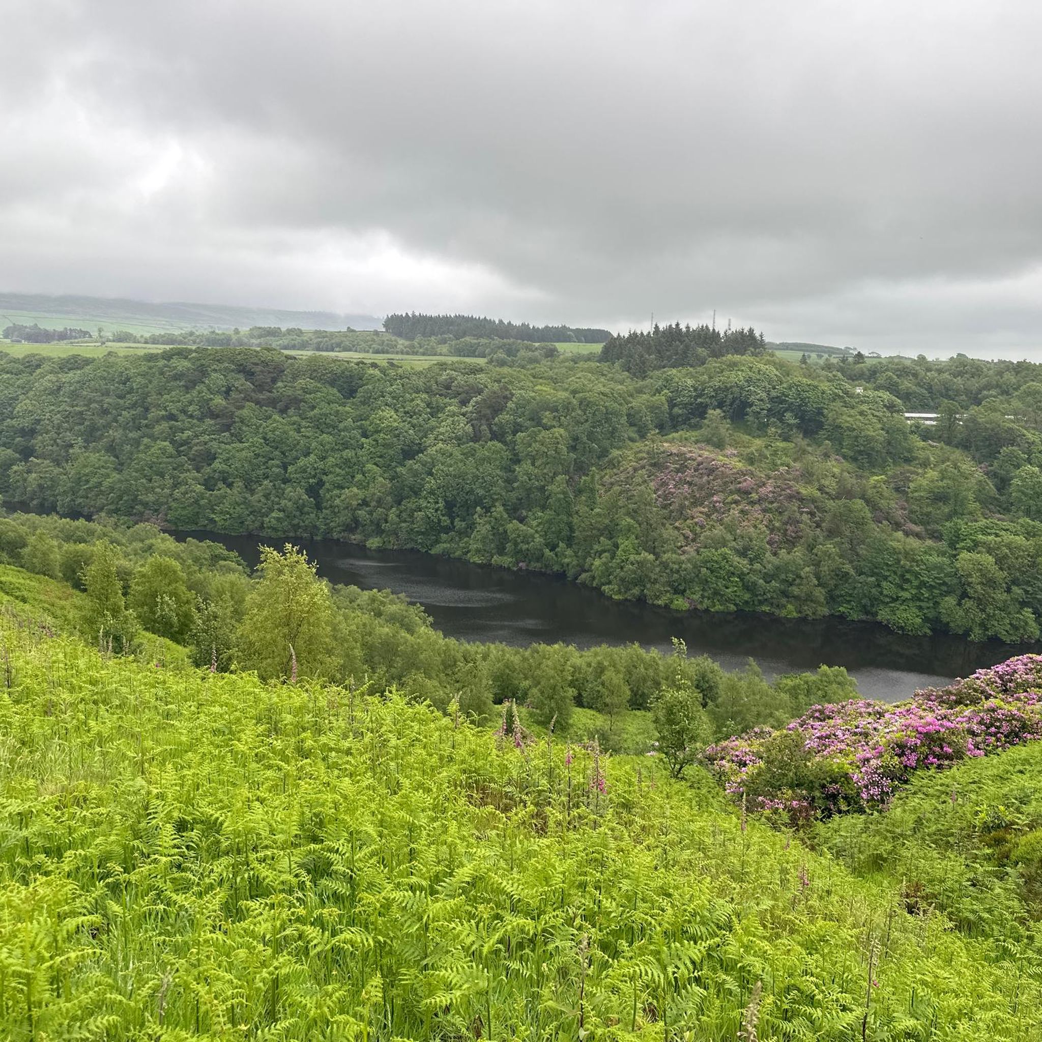
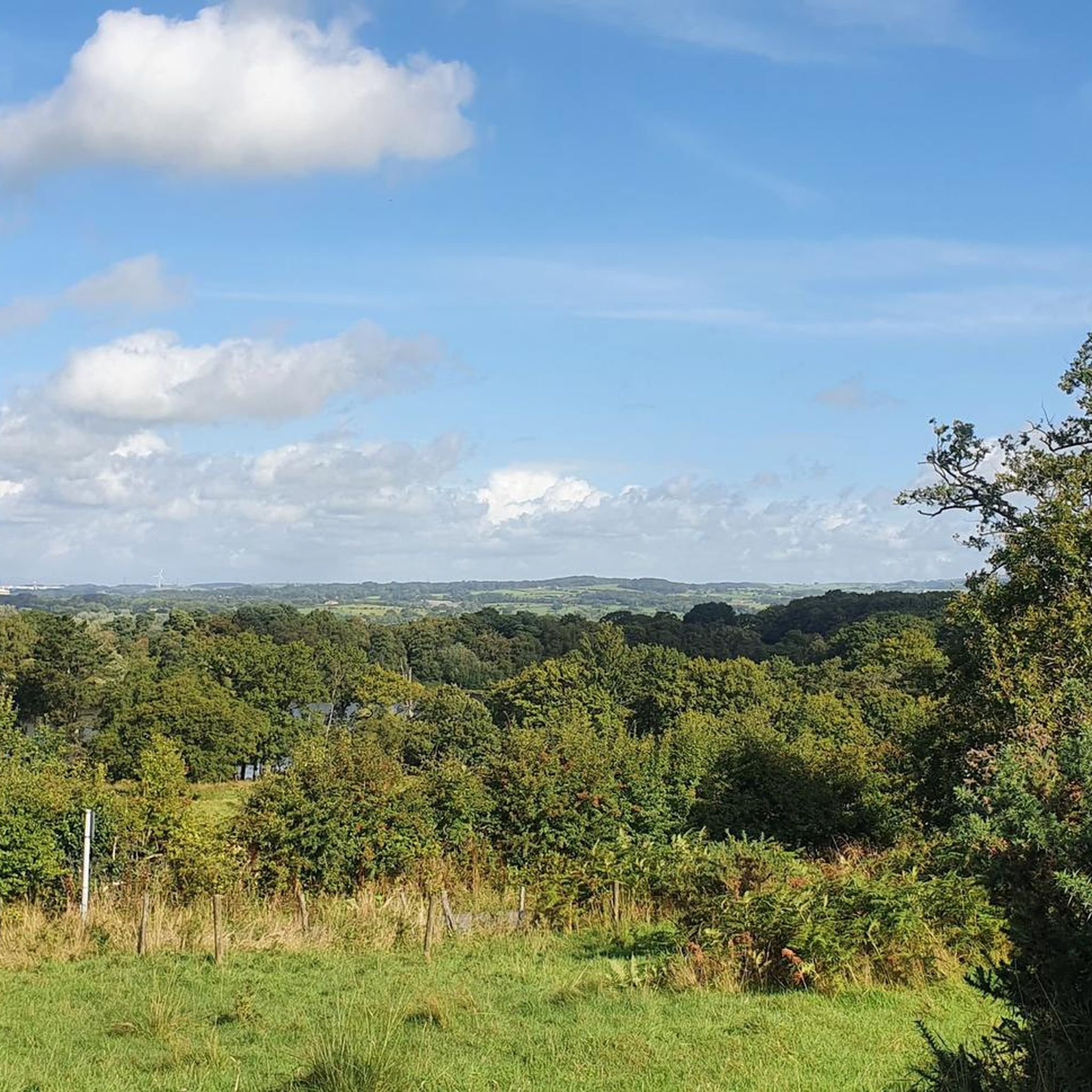
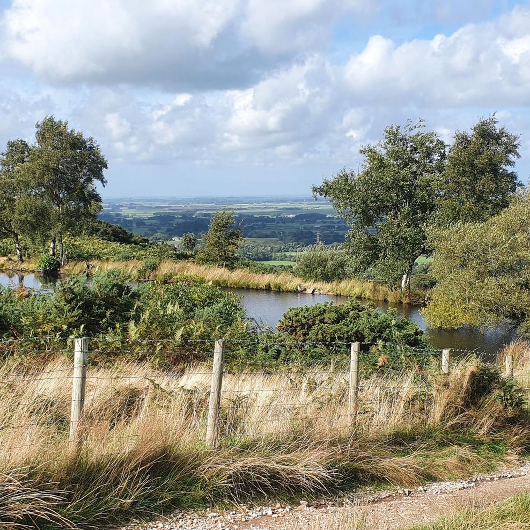
Road cycling around Nateby features a landscape characterized by country lanes, open countryside, and views towards the Bowland fells. The area offers a mix of predominantly flat routes and more undulating terrain, particularly towards the Forest of Bowland. Cyclists can explore the Over Wyre area, west of Garstang, and encounter natural features such as the Lune Estuary and the Nicky Nook Summit, a 215m hill. The region provides varied road cycling experiences suitable for different skill levels.
Best road cycling routes around Nateby
- The most popular road cycling route is The Trough of Bowland loop from Garstang — Forest of Bowland, a 33.5 miles (53.9 km) trail that takes 2 hours 37 minutes to complete. This moderate route offers scenic riding through the Forest of Bowland.
- Another top favourite among local road cyclists is Jubilee Tower (Quernmore) – The Barn, Scorton loop from Garstang, a moderate 27.7 miles (44.6 km) path. This route includes varied terrain and passes by The Barn at Scorton, a known stop for cyclists.
- Local road cyclists also love the The Barn, Scorton – Beacon Fell Descent loop from Garstang, a 38.6 miles (62.1 km) trail leading through open countryside and near Beacon Fell, often completed in about 2 hours 40 minutes.
- Road cycling around Nateby is defined by quiet country lanes, views of the Bowland fells, and access to the Lune Estuary. The network offers options for easy, moderate, and challenging rides.
- The routes in Nateby are highly rated by the komoot community with an average score of 4.8 stars from over 70 reviews. More than 2,700 road cyclists have used komoot to explore Nateby's varied terrain.
Last updated: July 5, 2026
4.7
(9)
172
riders
53.9km
02:38
660m
660m
Embark on a moderate racebike loop through the stunning Forest of Bowland Area of Outstanding Natural Beauty. This 33.5-mile (53.9 km) route from Garstang takes you through dramatic fells, expansive moorlands, and picturesque river valleys, offering a peaceful cycling experience on quiet country lanes. You will climb a total of 2166 feet (660 metres) over approximately 2 hours and 37 minutes, with challenging sections like the iconic Trough of Bowland pass featuring gradients up to 16%.
Prepare for a hilly ride with varied gradients, demanding good to very good fitness. While road surfaces are generally well-maintained, the
5.0
(2)
117
riders
44.7km
02:06
570m
570m
Moderate road ride. Good fitness required. Mostly well-paved surfaces and easy to ride.

Sign up for free
5.0
(3)
94
riders
62.1km
02:40
530m
530m
Moderate road ride. Good fitness required. Mostly well-paved surfaces and easy to ride.
5.0
(3)
73
riders
26.4km
01:01
70m
70m
Easy road ride. Great for any fitness level. Mostly well-paved surfaces and easy to ride.
5.0
(1)
49
riders
61.6km
02:22
180m
180m
Moderate road ride. Good fitness required. Mostly well-paved surfaces and easy to ride.
Get access to more routes and recommendations from other explorers.
Sign up for free
Already have an account?
Our route recommendations are based on thousands of hikes, rides, and runs completed by other people on komoot.
Start today with a free account
Your next adventure awaits.
Login or Signup
Tips from the Community

This is marked as an intermediate walk which, in the main is accurate. The walk starts with a steep incline, well covered in the walk description. What is less documented is the subsequent decent which can be challenging for the novice/ intermediate walker. The path down is narrow and the potential fall severe. Please be aware. Other than that, the walk offers wonderful views after the initial climb and relatively sedate walk after decent.
0
0

Pan flat, quick bit of road. No shelter from the wind though!
0
0


The actual centre of the British Isles is roughly 4 miles from the village but it is a pretty village to visit on the banks of the River Hodder.
0
1

Shop doing sandwiches, pies, hot and cold drinks. With outside seating.
0
0

Can often get busy at weekends but generally the roads leading here are quiet.
0
0

🌿 The village is a gateway to stunning routes like the Trough of Bowland, Whin Fell, and along the River Dunsop. It’s perfect for peaceful countryside walks 📍 A phone box in the village marks the “exact center” of the United Kingdom, as determined by the Ordnance Survey. ☕ Puddleducks Café is great to grab a coffee and/or cakes at the start or end of your walk 🦌 The area is rich in wildlife, including deer, birds of prey, and rare wading birds, making it great for nature lovers. 🚴♂️ Also great pit-stop for cyclists heading through the Forest of Bowland’s quiet lanes and rolling hills
1
0

Beautiful flat road with a good surface and fields on both sides. Definitely great for a sprint. Take care in side winds
0
0
Frequently Asked Questions
How many road cycling routes are available around Nateby?
There are over 130 road cycling routes around Nateby, offering a wide range of options for different skill levels and preferences. You'll find everything from easy, predominantly flat rides to more challenging routes with significant elevation.
What kind of terrain and scenery can I expect on road cycling routes near Nateby?
Road cycling around Nateby features a diverse landscape. You'll primarily ride on quiet country lanes, passing through open countryside with excellent views towards the Bowland Fells. The area also includes routes near the Lune Estuary, offering coastal paths and varied scenery. While many routes are predominantly flat, particularly in the Over Wyre area, some venture into more undulating terrain, especially towards the Forest of Bowland.
Are there easy road cycling routes suitable for beginners or families in Nateby?
Yes, Nateby offers many easy road cycling routes perfect for beginners and families. For instance, the 'Nateby and Stakepool Round' is a 16-mile, predominantly flat route on minor country lanes, ideal for increasing cycling distance. On komoot, you can find routes like the Duck Pond – Wyre Flatlands Road loop from Garstang, which is rated as easy. Overall, there are nearly 80 easy routes available.
Where can I find challenging road cycling routes around Nateby?
For those seeking a challenge, routes venturing into the Forest of Bowland offer more significant climbs and descents. A popular moderate route is The Trough of Bowland loop from Garstang, which covers 33.5 miles with over 660 meters of elevation gain. While most routes are moderate, there are a couple of difficult routes for experienced cyclists looking for a demanding ride.
What are some notable landmarks or points of interest along the road cycling routes?
Along your rides, you can encounter several interesting points. The Nicky Nook Summit, a 215m high hill, offers great views towards the sea. Other attractions include the Glasson Dock Harbour and the Cartford Toll Bridge. The region's natural beauty, including the Lune Estuary and the Bowland Fells, also serves as a constant scenic backdrop.
Are there places to stop for refreshments or food along the cycling routes?
Yes, several routes pass by cyclist-friendly stops. The Barn at Scorton is a well-known favorite among local cyclists, offering indoor and outdoor seating and bike racks. You can find it along routes like the Jubilee Tower (Quernmore) – The Barn, Scorton loop from Garstang. In Stakepool, along the 'Nateby and Stakepool Round', amenities such as drinks, snacks, and toilets are available at the Elletsons Arms, Post Office, and Spar shop.
What do other road cyclists enjoy most about road cycling in Nateby?
The area is highly rated by the komoot community, with an average score of 4.8 stars from over 70 reviews. Cyclists often praise the quiet country lanes, the scenic views of the Bowland Fells, and the variety of routes available for different skill levels. The access to the Lune Estuary and the well-maintained paths are also frequently highlighted.
Are there any circular road cycling routes around Nateby?
Many of the road cycling routes around Nateby are designed as circular loops, allowing you to start and finish at the same point. This includes popular options like The Barn, Scorton – Beacon Fell Descent loop from Garstang, which offers a substantial 38.6-mile ride through open countryside.
What is the best time of year for road cycling in Nateby?
The best time for road cycling in Nateby is generally during the warmer, drier months, from spring through early autumn. This period offers more predictable weather conditions, making for more enjoyable rides. The region's natural beauty, such as the Monkey Musk flowers in Nateby village (Cumbria), is particularly attractive in the summer.
Is public transport or parking available for accessing road cycling routes in Nateby?
While specific public transport links directly to every trailhead may vary, the region around Nateby is accessible. Many routes start from towns like Garstang, which typically offer parking facilities. For more detailed information on local transport and parking options, it's advisable to check local council or transport websites for the specific starting point of your chosen route.
Are there any coastal or estuary road cycling routes near Nateby?
Yes, the region offers routes that provide access to the Lune Estuary, allowing for scenic coastal paths and countryside exploration. These routes offer a different perspective compared to the inland country lanes and fells, providing varied scenery for your ride.
Most popular routes around Nateby
Most popular attractions around Nateby

Get inspired with the komoot mobile app


Explore more
Browse the best Road cycling routes in other regions.
