The best running trails around Paythorne
4.7
(26)
2,506
runners
145
runs
Jogging around Paythorne provides access to a network of routes through the rural landscapes of the Forest of Bowland. The area is characterized by gentle river valleys, open fields, and quiet country lanes, offering a mix of terrain suitable for various running preferences. Elevation changes are generally mild, making many paths accessible for different fitness levels.
Best jogging routes around Paythorne
- The most popular jogging route is Bolton by Bowland loop – Forest of Bowland, a 2.9 miles (4.7…
Last updated: October 8, 2026
4.73km
00:32
70m
70m
Easy run. Great for any fitness level. Mostly paved surfaces. Suitable for all skill levels.
9
runners
9.74km
01:01
50m
50m
Moderate run. Good fitness required. Mostly paved surfaces. Suitable for all skill levels.

7
runners
Moderate run. Good fitness required. Mostly paved surfaces. Suitable for all skill levels.
5
runners
8.43km
00:54
110m
110m
Moderate run. Good fitness required. Mostly paved surfaces. Suitable for all skill levels.
5.0
(1)
5
runners
7.40km
00:51
110m
110m
Moderate run. Good fitness required. Mostly paved surfaces. Suitable for all skill levels.
Get access to more routes and recommendations from other explorers.
Already have an account?
Our route recommendations are based on thousands of hikes, rides, and runs completed by other people on komoot.
Start today with a free account
Your next adventure awaits.

Tips from the Community


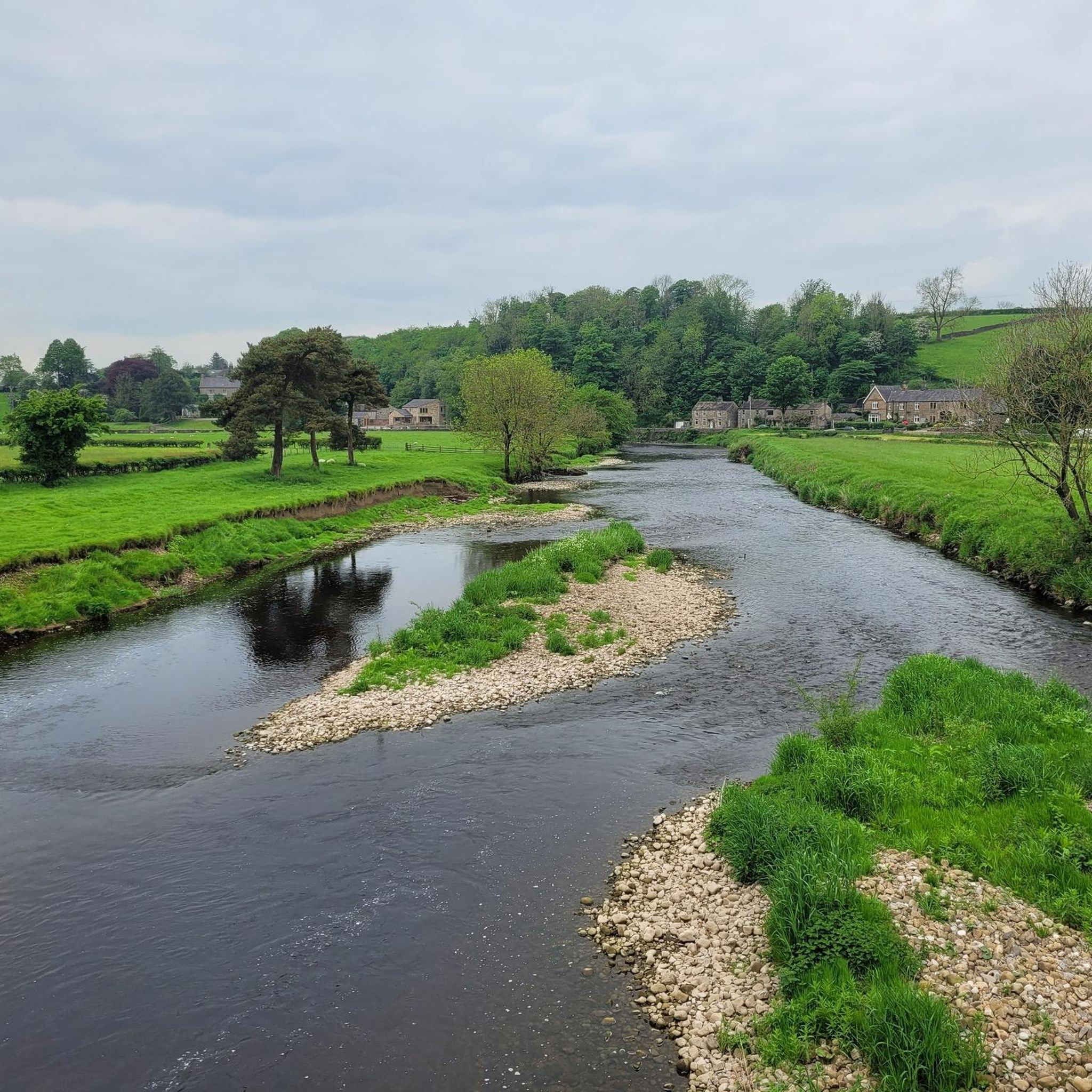
Footpaths by the river and the quiet road coming from Grindleton and Chatburn. Lots of options to link from here
0
0

great place for pint+ food,with great views of river Ribble+ bridge from the riverside beer garden
0
0


Good, solid, traffic free route with no navigational challenges, meaning that you can just keep running!
0
0

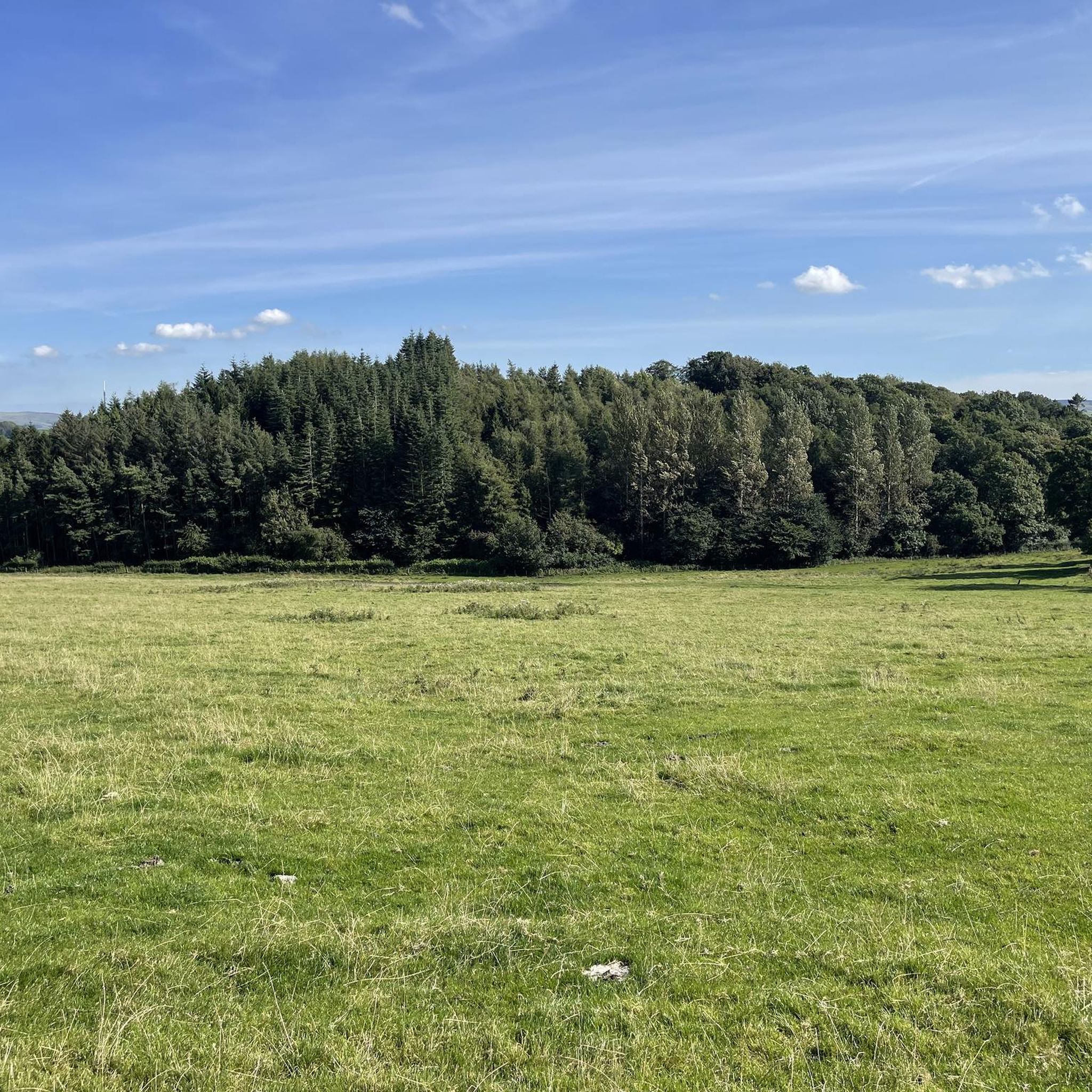
A curious little hill - one of those that might be easily missed in the hilly landscape. The few trees atop seem to cling dearly to their life, a little family of them. This is a drumlin (237m), which is a term used for hills that were carved by a glacier and are in the shape of an inverted spoon. The hill is not on the path, so you would need to walk across the field to get to it - a minute or two's walk.
1
0

A gorgeous village in the heart of the Ribble Valley. A quiet road leaves the village, leading to The Ribble Valley Jubilee Trail down by the river.
1
0
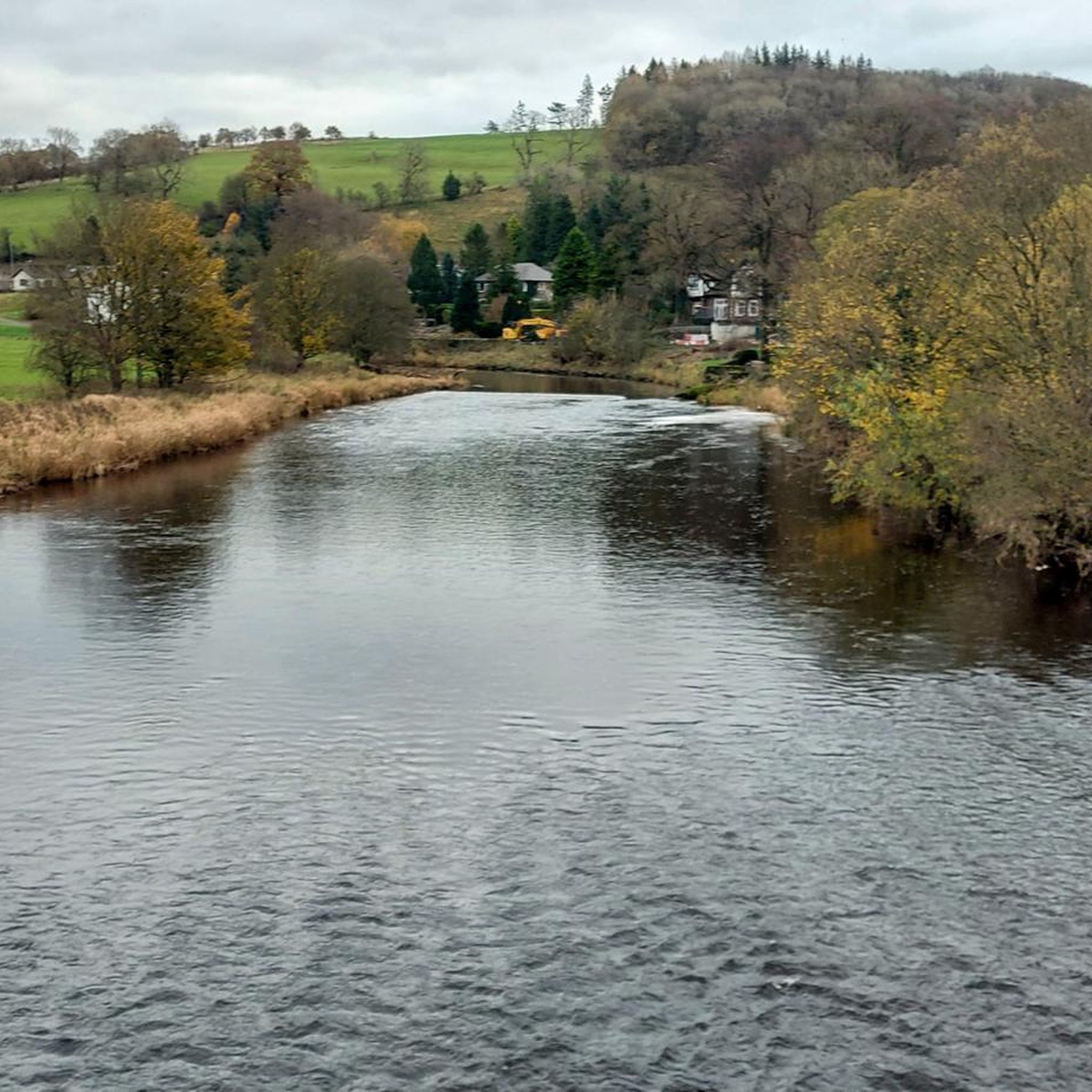
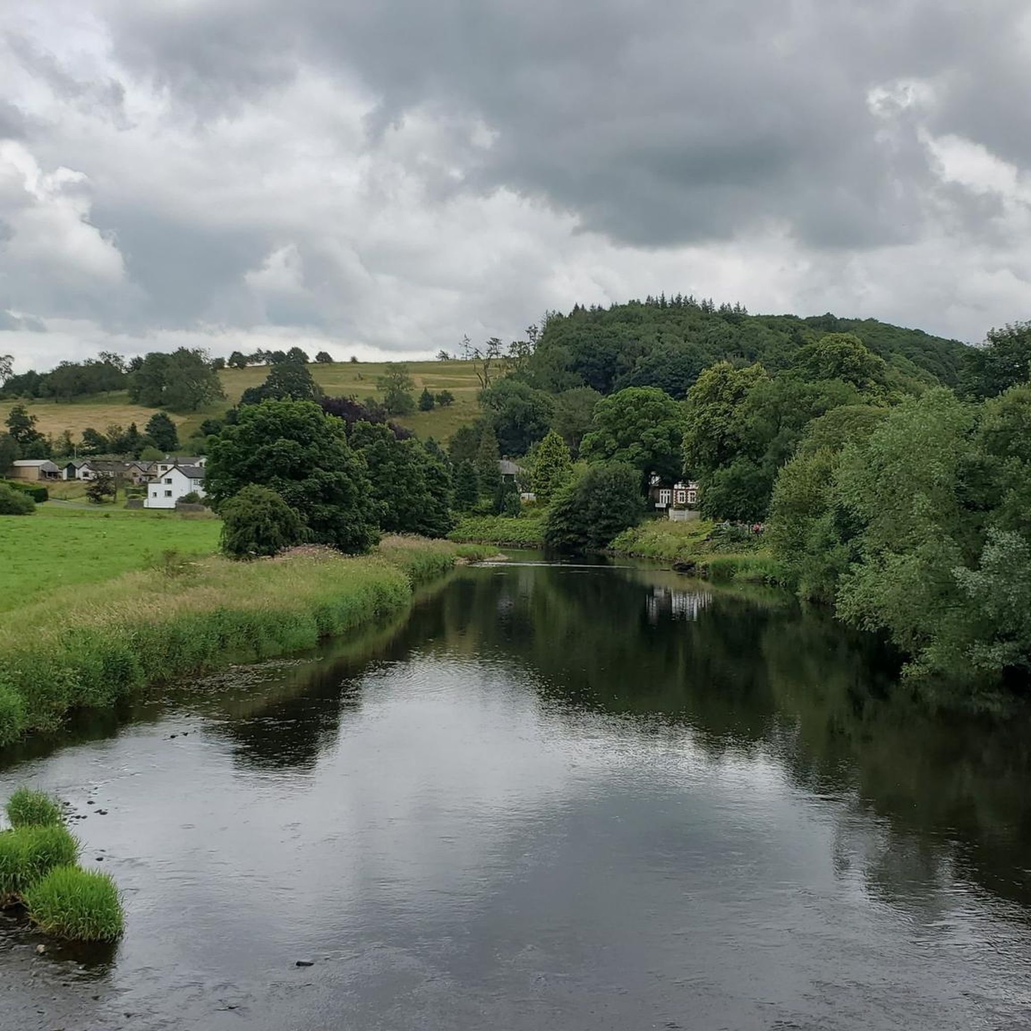
Approximately 75 miles long, this section of the river is beautiful and very peaceful. Keep an eye out for the wild deer. The Ribble Valley Jubilee Way has good pathways for running.
1
0
Frequently Asked Questions
How many running routes are available around Paythorne?
There are over 150 running routes around Paythorne, offering a wide range of options for different fitness levels and preferences. You'll find paths through rural landscapes, gentle river valleys, and open fields.
Are there easy running routes suitable for beginners in Paythorne?
Yes, Paythorne offers several easy running routes perfect for beginners. For instance, the Bolton by Bowland loop – Forest of Bowland is an easy 2.9-mile (4.7 km) trail that explores scenic rural surroundings.
What kind of terrain can I expect on the running trails near Paythorne?
The running trails around Paythorne feature a mix of terrain, including paths through gentle river valleys, open fields, and quiet country lanes. Elevation changes are generally mild, making many paths accessible for various fitness levels within the rural landscapes of the Forest of Bowland.
Are there any circular running routes in the Paythorne area?
Yes, many of the running routes around Paythorne are circular, allowing you to start and finish at the same point. An example is the Castle Haugh loop from Gisburn, a 5.2-mile (8.4 km) trail through open countryside.
What do other runners enjoy most about the trails in Paythorne?
The running routes in Paythorne are highly rated by the komoot community, with an average score of 4.7 stars from over 20 reviews. Runners often praise the tranquil rural landscapes, the variety of terrain, and the well-maintained paths that offer a refreshing outdoor experience.
Are there any long-distance running trails for more experienced runners?
While many routes are moderate, there are options for longer runs. For example, the Higherland Lock – Gargrave Bridge loop from Bank Newton is a moderate 6.0-mile (9.7 km) path that follows riverside sections and passes historical lock structures, offering a good distance for a sustained run.
Can I find running routes with scenic viewpoints or landmarks near Paythorne?
Absolutely. The region offers several points of interest. While running, you might encounter views of Pendle Hill summit trig point or the Weets Hill Summit & Trig Point. The Higherland Lock – Gargrave Bridge loop from Bank Newton also features historical lock structures along the river.
Are there any waterfalls along the running paths in the Paythorne area?
Yes, for those who enjoy natural features, the wider area around Paythorne includes attractions like Scaleber Force Waterfall. While not directly on every running route, it's a notable natural monument in the region that can be incorporated into a longer exploration.
What is the best time of year for running in Paythorne?
Spring and summer offer pleasant conditions with milder weather and lush green landscapes, ideal for enjoying the open fields and river paths. Autumn brings beautiful foliage, while winter runs can be invigorating, though some paths might be muddy or require appropriate footwear due to the rural terrain.
Are the running trails around Paythorne suitable for families?
Many of the routes with mild elevation changes and well-defined paths are suitable for families. The easier, shorter loops, such as the Bolton by Bowland loop – Forest of Bowland, are particularly good for a family outing, allowing everyone to enjoy the rural scenery.
Are dogs allowed on the running trails in Paythorne?
Generally, dogs are welcome on public footpaths and trails in the Paythorne area, which is part of the rural Forest of Bowland. However, it's always recommended to keep dogs on a lead, especially when passing through fields with livestock, and to follow the Countryside Code.
Where can I find parking for the running routes near Paythorne?
Parking is typically available in or near the villages that serve as starting points for many routes, such as Bolton-by-Bowland or Gisburn. Specific parking details can often be found on individual route descriptions on komoot, or by checking local village amenities.
Can I combine a run with a pub stop in Paythorne?
Yes, the villages in and around Paythorne, such as Bolton-by-Bowland and Gisburn, often have traditional pubs where you can enjoy refreshments after your run. Planning a route that passes through or ends near one of these villages is a popular option for many runners.
Most popular attractions around Paythorne

Get inspired with the komoot mobile app


Explore more
Browse the best Running Trails & Routes in other regions.
