The best walks and hikes around Gisburn Forest
4.6
(1643)
11,730
hikers
350
hikes
Hiking around Gisburn Forest offers diverse landscapes within the Forest of Bowland Area of Outstanding Natural Beauty. The terrain features deep forests, challenging hills, and mixed coniferous and broadleaved woodlands. Hikers can experience views over the Bowland Fells and Stocks Reservoir, alongside ancient woodlands, glades, and becks. This region provides a variety of trails suitable for different abilities.
Best hiking trails around Gisburn Forest
- The most popular hiking route is Stocks Reservoir loop – Forest of Bowland, an 8.9 miles (14.3 km) trail that takes 3 hours 50 minutes to complete. This moderate route offers extensive views of Stocks Reservoir and the surrounding Forest of Bowland.
- Another top favourite among local hikers is Whelp Stone Crag from Tosside loop, a moderate 5.8 miles (9.4 km) path. This trail includes a climb to Whelp Stone Crag, providing panoramic views of the area.
- Local hikers also love the Stocks Hide (Stocks Reservoir) – Stocks Reservoir Shoreline loop from Easington, a 6.6 miles (10.7 km) trail leading through varied terrain along the reservoir shoreline, often completed in about 2 hours 54 minutes.
- Hiking around Gisburn Forest is defined by views over Stocks Reservoir, deep forests, and mixed woodlands. The network offers options for different ability levels, from easy strolls to more challenging climbs.
- The routes in Gisburn Forest are highly rated by the komoot community with an average score of 4.6 stars from more than 1,300 reviews. More than 10,000 hikers have used komoot to explore Gisburn Forest's varied terrain.
Last updated: October 10, 2026
4.7
(67)
513
hikers
14.3km
03:52
190m
190m
Embark on the Stocks Reservoir loop, a moderate hike spanning 8.9 miles (14.3 km) with an elevation gain of 624 feet (190 metres), typically taking around 3 hours and 51 minutes to complete. You will ramble through ancient woodlands and picturesque moorlands, enjoying continuous views of the glistening reservoir waters. The terrain is varied, featuring well-surfaced stone and grassy paths, though be mindful of a couple of short, steep sections, like the descent past New House Farm, which can be slippery in wet conditions.
To begin your hike, head to the Stocks Reservoir Car Park on School Lane, where parking is available for a fee. The route is well waymarked with blue finger posts, making it easy to follow the circular path around the reservoir. Be aware that you might encounter cattle and sheep as you traverse local farmland, and the footbridge crossing the River Hodder can also be slick when wet.
This area is a haven for birdwatchers, renowned as one of the UK's best spots, with wildlife hides available on the eastern shoreline to observe various wildfowl species. Historically, the reservoir's creation in 1932 led to the relocation of St. James' Church, stone by stone, to a nearby upland pasture, where it stands today. The trail also offers panoramic views across the Forest of Bowland, and on clear days, you might even spot the distant Yorkshire Three Peaks.
2.0
(2)
7
hikers
9.35km
02:32
130m
130m
Embark on the Whelp Stone Crag from Tosside loop, a moderate hike that takes you through the varied landscapes of Gisburn Forest and onto open moorland. You will cover 5.8 miles (9.4 km) with 431 feet (131 metres) of elevation gain, typically taking around 2 hours and 32 minutes to complete. The highlight is reaching Whelp Stone Crag, where you can find an Ordnance Survey trig point and enjoy expansive 360-degree panoramic views of the Ribble Valley and Bowland Fells on a clear day. The trail offers a mix of gravel tracks, forest paths, and rough pasture, providing a diverse hiking experience.
When planning your visit, be aware that while the trail is generally well-trodden, some sections, particularly across the moorland, can become muddy and marshy after rain. It is wise to wear appropriate footwear and be prepared for varied terrain. Some footpaths within Gisburn Forest might not be as clearly marked as the mountain bike routes, so keep an eye on your navigation. This route is manageable for those with good fitness, but always be ready for potential boggy spots.
This route stands out for its blend of tranquil forest environments and the dramatic, wide-open spaces of the moorland. The transition from the sheltered forest paths, sometimes shared with mountain bikers, to the exposed climb up to Whelp Stone Crag offers a dynamic change of scenery. The views from the crag are a significant draw, allowing you to spot distant peaks like Ingleborough and Pen-y-ghent, making it a rewarding journey through the heart of the Forest of Bowland.

5.0
(9)
118
hikers
Moderate hike. Good fitness required. Easily-accessible paths. Suitable for all skill levels.
3.0
(1)
10
hikers
Moderate hike. Good fitness required. Easily-accessible paths. Suitable for all skill levels.
3.5
(2)
10
hikers
9.42km
02:32
120m
120m
Moderate hike. Good fitness required. Easily-accessible paths. Suitable for all skill levels.
Get access to more routes and recommendations from other explorers.
Already have an account?
Our route recommendations are based on thousands of hikes, rides, and runs completed by other people on komoot.
Start today with a free account
Your next adventure awaits.

Tips from the Community


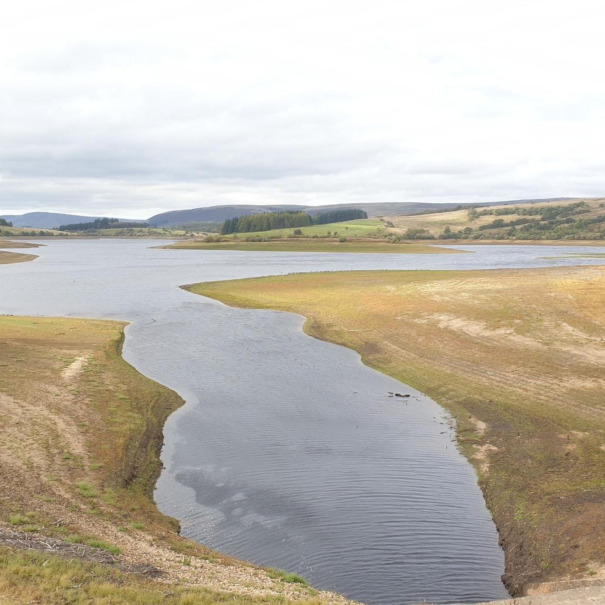
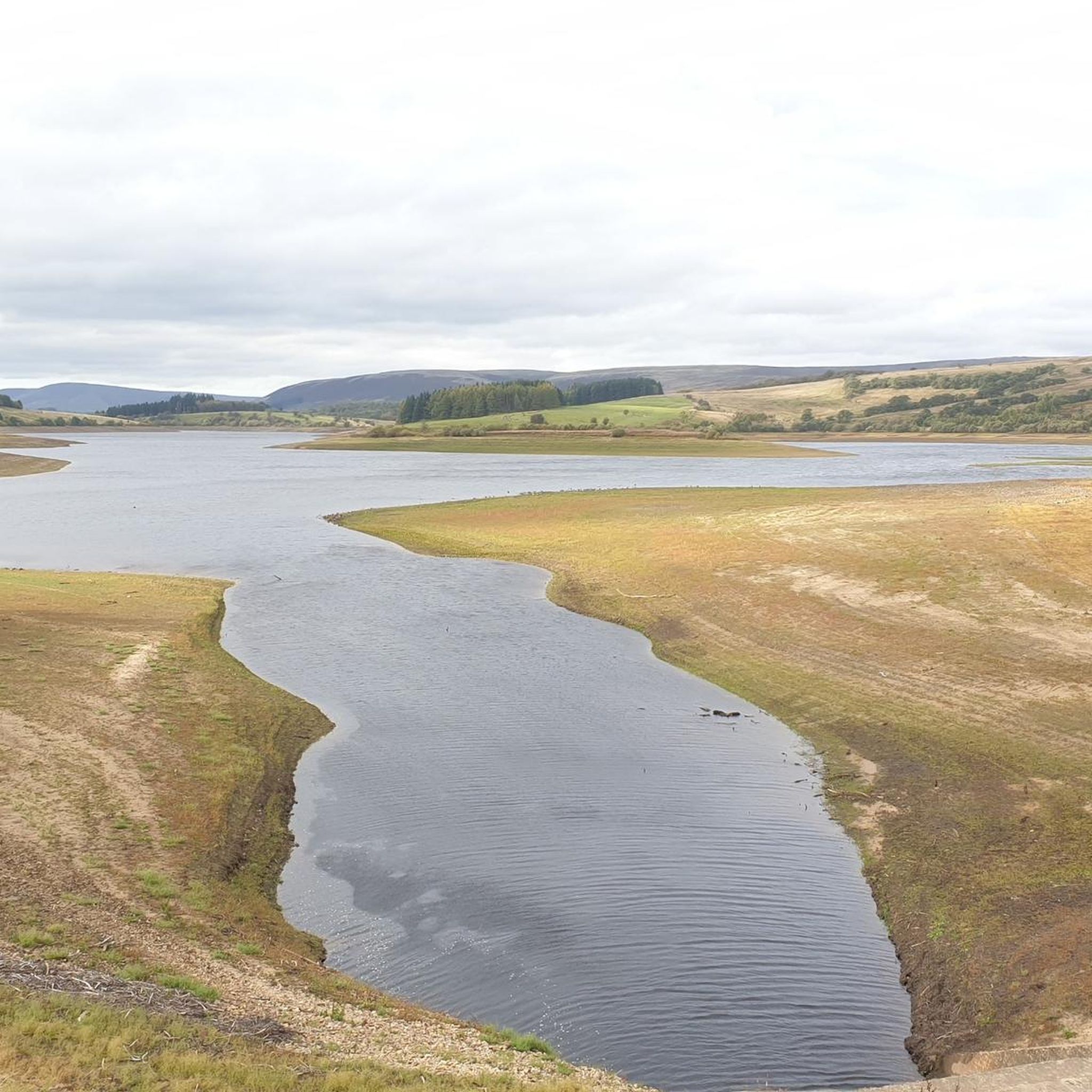
really beautiful place, well maintained, you can ride a bike, nicely prepared routes, you can go for a walk with your family. I recommend it, I love going back there ♥️
0
0

Great little hide looking over the reservoir
0
0

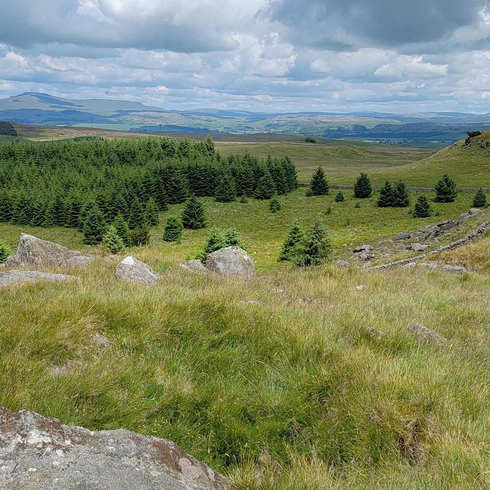
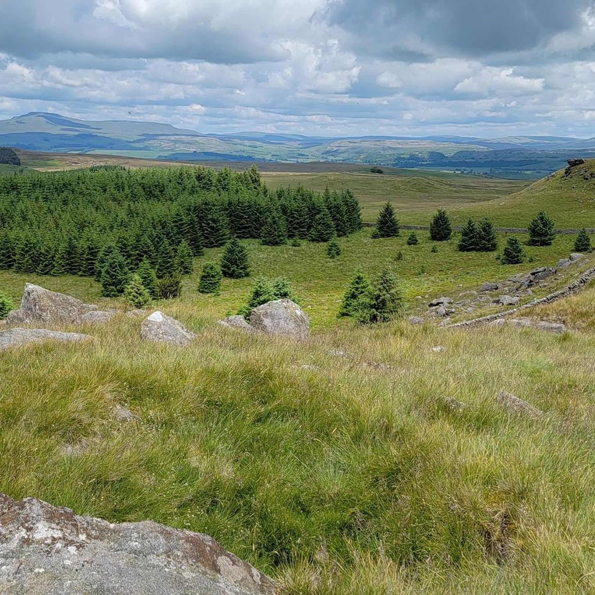
Holden Moor (Whelp Stone Crag) 371m P67 (1217ft) (DoBIH Hill ID: 16586) [JNSA 10841] County of Yorkshire Definitive List summit Forest of Bowland National Landscape Definitive List summit County of Yorkshire Trig Pillar
0
0

Wilderness and relaxation go hand in hand at Gisburn. Enjoy fantastic cycling and walking in the heart of the stunning Forest of Bowland Step into the fairy tale woods of Gisburn Forest and Stocks. Explore the trails and experience a sense of space and freedom as you breathe in the fresh air and hear the peaceful bird song. Gisburn’s dramatic scenery, with deep forest and challenging hills, provides the perfect backdrop for our award-winning mountain bike trails. Demanding climbs and exhilarating downhills make it the ultimate off-road mecca!
0
0
Frequently Asked Questions
How many hiking trails are available in Gisburn Forest?
Gisburn Forest offers a wide variety of hiking opportunities, with over 350 routes available. These range from easy strolls to more challenging climbs, ensuring there's something for every ability level.
What kind of terrain will I encounter when hiking in Gisburn Forest?
Hikers in Gisburn Forest can expect diverse terrain, including deep forests, challenging hills, and gently undulating mixed coniferous and broadleaved woodlands. You'll find stunning views over the Bowland Fells and Stocks Reservoir, alongside natural features like woodland glades, bogs, and becks.
Are there any family-friendly hiking options in Gisburn Forest?
Yes, Gisburn Forest is well-suited for families. There are many easy paths, such as the Birch Hills Walk, which offers views over Stocks Reservoir and passes wildlife hides. The forest also features a play area near the Gisburn Forest Hub, making it an enjoyable destination for all ages.
Are dogs allowed on the hiking trails in Gisburn Forest?
Gisburn Forest is generally dog-friendly. While specific rules may vary by trail or sensitive wildlife areas, dogs are typically welcome on most trails. It's always best to keep them under control, especially around livestock or wildlife, and to clean up after them.
Are there any circular hiking routes in Gisburn Forest?
Yes, Gisburn Forest offers several excellent circular routes. A notable option is the Stocks Reservoir loop – Forest of Bowland, a moderate 8.9-mile (14.3 km) trail providing extensive views of the reservoir and the surrounding landscape. Another popular choice is the Whelp Stone Crag from Tosside loop, which includes a climb to Whelp Stone Crag for panoramic views.
What facilities are available at Gisburn Forest Hub?
The Gisburn Forest Hub serves as a central point for visitors, offering amenities such as a café (The Hungry Pine), toilets, and a viewpoint. It's also connected to Stocks Reservoir car park by an easy 3 km (2 miles) link path, with the option to visit Dalehead Chapel.
Are there any viewpoints or scenic spots along the trails?
Gisburn Forest boasts numerous scenic spots. The Stocks Reservoir loop – Forest of Bowland offers extensive views of the reservoir. For elevated perspectives, the Whelp Stone Crag from Tosside loop provides panoramic views of the area. Additionally, the Gisburn Forest Hub Link Path includes a dedicated viewpoint.
What can I see along the hiking trails besides the forest itself?
Beyond the forest, you can explore several interesting points. The Birch Hills Walk passes two wildlife hides, ideal for birdwatching. For those interested in higher ground, nearby peaks include Weets Hill Summit & Trig Point and Sugar Loaf Hill, offering different perspectives of the landscape.
What do other hikers enjoy most about hiking in Gisburn Forest?
The area is highly rated by the komoot community, with an average score of 4.6 stars from over 1,300 reviews. Reviewers often praise the diverse landscapes, the extensive views over Stocks Reservoir and the Bowland Fells, and the variety of trails suitable for different abilities.
Is Gisburn Forest suitable for stargazing?
Yes, Gisburn Forest is recognized as an accredited Dark Sky Discovery Site. This means it offers excellent conditions for stargazing after dusk, providing a unique opportunity to observe the night sky away from light pollution.
Are there any accessible trails for people with mobility needs?
Gisburn Forest strives to be inclusive. Off-road mobility scooter hire is available, allowing individuals with mobility needs to explore parts of the forest. It's advisable to check with the Gisburn Forest Hub for specific accessible routes and availability of equipment.
Where can I find parking for hiking in Gisburn Forest?
Most waymarked trails in Gisburn Forest begin from Stocks Car Park. There is also a link path connecting Stocks Car Park to the Gisburn Forest Hub, which provides additional facilities.
Are there any cafes or places to eat near the trails?
Yes, the Hungry Pine café is located at the Gisburn Forest Hub, offering refreshments and meals. This provides a convenient stop before or after your hike.
Most popular routes around Gisburn Forest
Most popular attractions around Gisburn Forest

Get inspired with the komoot mobile app


Explore more
Browse the best Hikes in other regions.
