The best walks and hikes around Bracewell And Brogden
4.5
(1180)
9,427
hikers
541
hikes
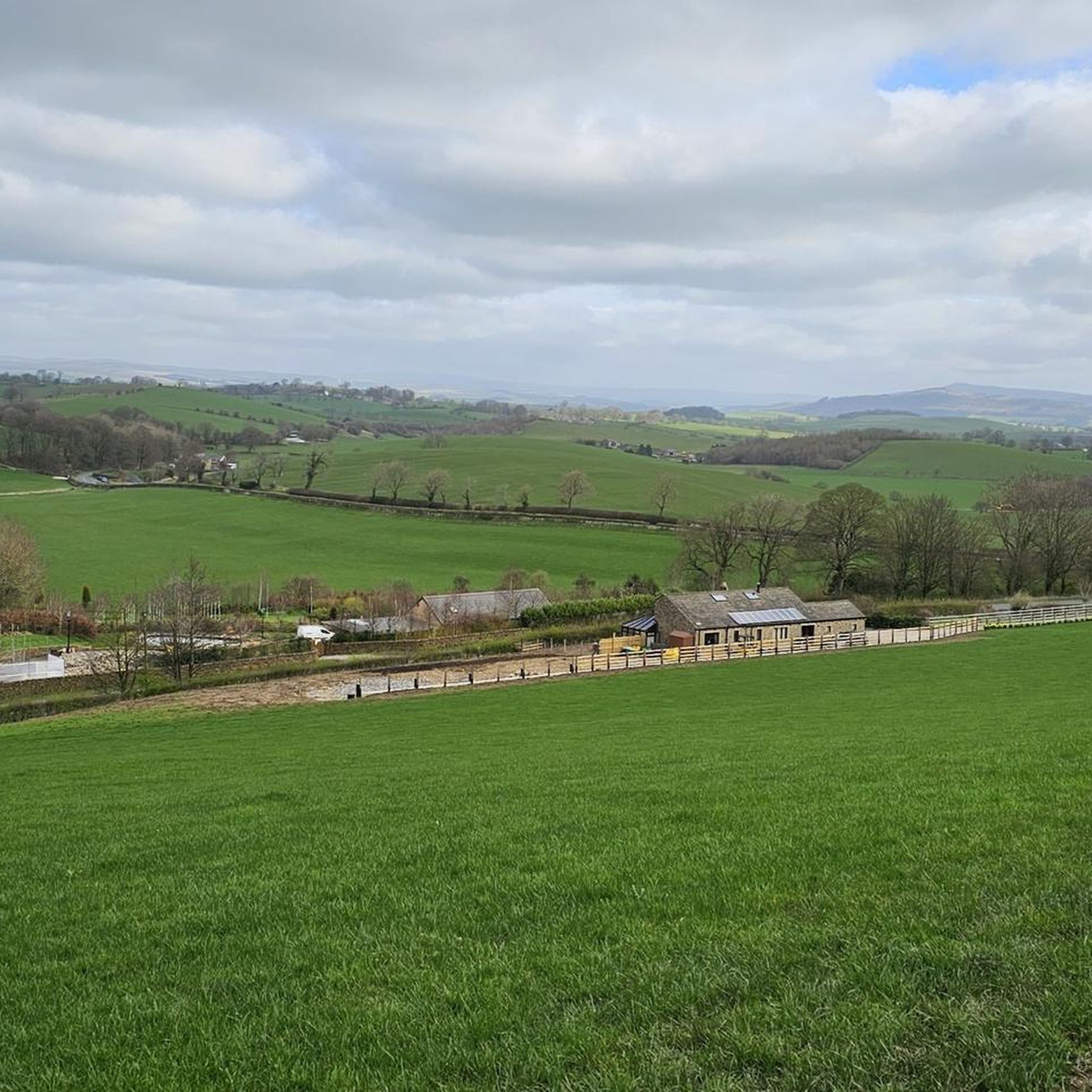
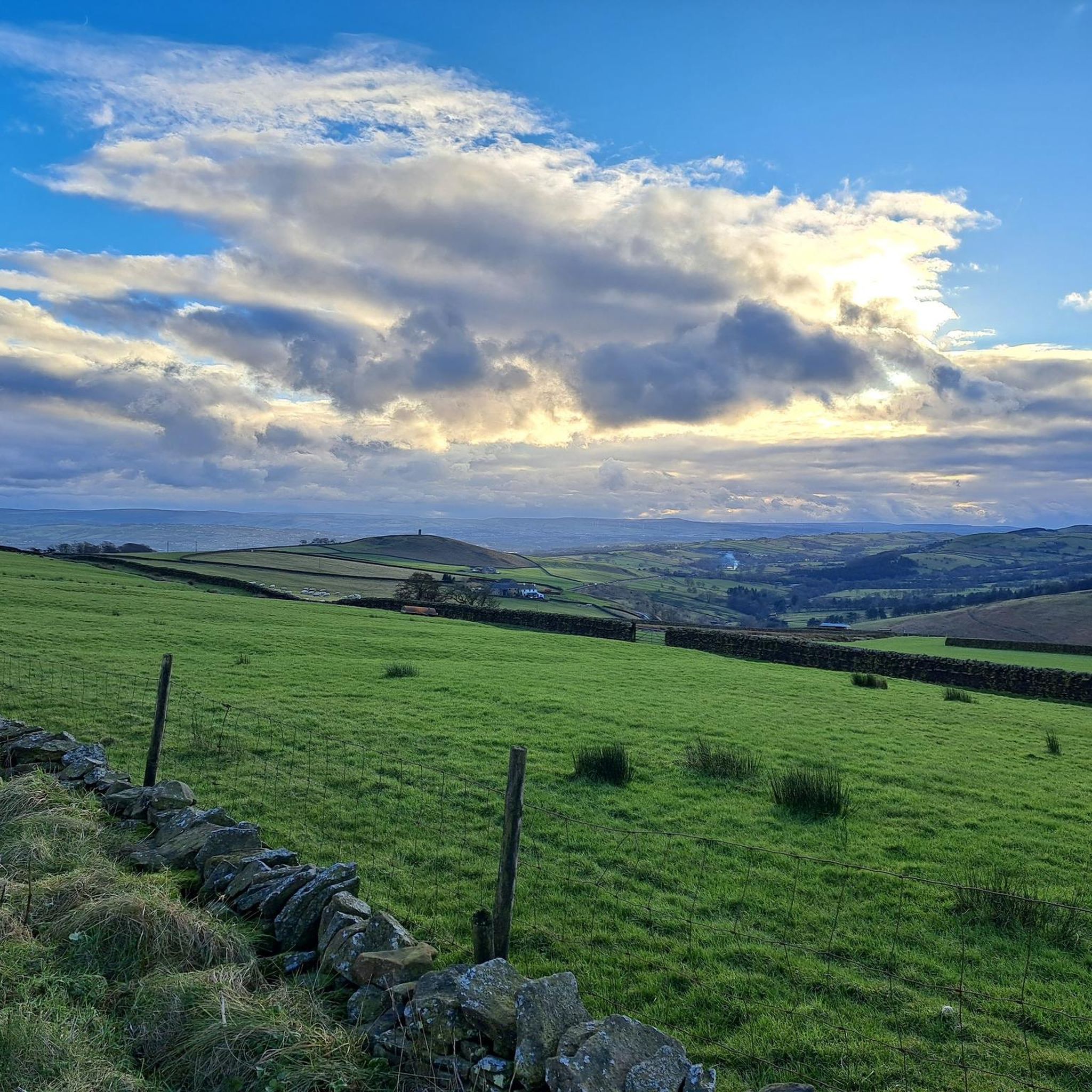
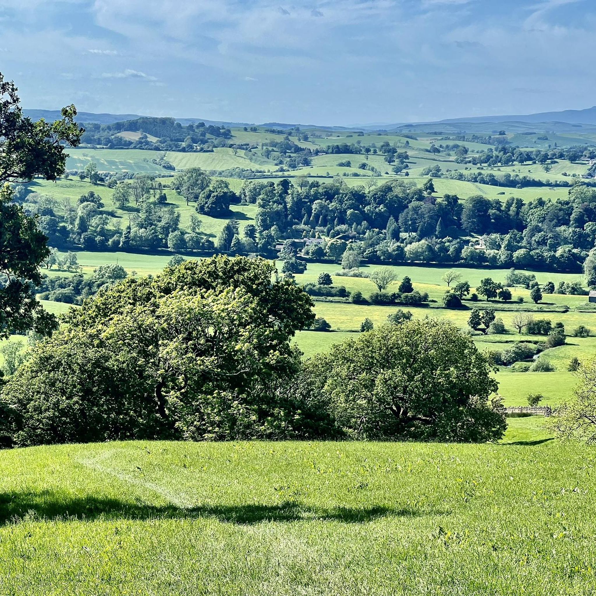
Hiking around Bracewell And Brogden explores a rural landscape in Lancashire, situated at the edge of the Pennine hills. The area is characterized by rolling fields divided by drystone walls, traditional stone farm buildings, and ascents to local hills like Weets Hill. The terrain offers a mix of pastoral scenery and upland paths, with many routes providing views toward the Forest of Bowland and Pendle Hill. Glacial deposits, including small hillocks known as drumlins, also contribute to the unique landscape.
Best hiking trails around Bracewell And Brogden
- The most popular hiking route is Occupation Road – Weets Hill Summit & Trig Point loop from Barnoldswick, a 5.3 miles (8.5 km) trail that takes 2 hours 30 minutes to complete. This route features a steady ascent to the summit of Weets Hill.
- Another top favourite among local hikers is Cannon's Pub & Eatery – Foulridge loop from Barnoldswick, a moderate 5.1 miles (8.2 km) path. This trail explores the local countryside around Foulridge.
- Local hikers also love the Weets Pinnacle – Weets Hill Summit & Trig Point loop from Barnoldswick, a 3.6 miles (5.8 km) trail leading through open countryside, often completed in about 1 hour 45 minutes.
- Hiking around Bracewell And Brogden is defined by ascents to hill summits, paths along historic lanes, and walks through pastoral farmland. The network of trails provides options for different ability levels, from easier loops to more moderate climbs.
- The routes in Bracewell And Brogden are highly rated by the komoot community with an average score of 4.5 stars from over 950 reviews. More than 9,000 hikers have used komoot to explore Bracewell And Brogden's varied terrain.
Last updated: October 8, 2026
4.4
(9)
43
hikers
8.50km
02:28
230m
230m
Moderate hike. Good fitness required. Easily-accessible paths. Suitable for all skill levels.
4.7
(3)
37
hikers
Easy hike. Great for any fitness level. Easily-accessible paths. Suitable for all skill levels.

5.0
(2)
27
hikers
4.97km
01:17
20m
20m
Easy hike. Great for any fitness level. Easily-accessible paths. Suitable for all skill levels.
4.4
(5)
24
hikers
Moderate hike. Good fitness required. Easily-accessible paths. Suitable for all skill levels.
5.0
(3)
28
hikers
Moderate hike. Good fitness required. Easily-accessible paths. Suitable for all skill levels.
Get access to more routes and recommendations from other explorers.
Already have an account?
Our route recommendations are based on thousands of hikes, rides, and runs completed by other people on komoot.
Start today with a free account
Your next adventure awaits.
Tips from the Community

County Brook is the original divide between Lancashire and the former West Riding of Yorkshire.
0
0

Also on a very clear day you can see Blackpool Tower to the west, approx 40 miles away.
0
0

Good gravel towpath rideable on any bike.
0
0

Towpath is reasonable for cycling and there is something tranquil about a canal
0
0

Scenic views all round on the border between Lancashire and Yorkshire
0
0

There’s a nice down hill towards Barnoldswick.
1
0

Barnoldswick is a historic mill town with characterful cobbled streets and plenty of independent shops and cafes. The views from the town into the Yorkshire Dales are exceptional, with both Ingleborough and Malham Cove visible on clear days. There are plenty of places to eat and Alma Cliffe B&B is a good accommodation option for those walking the Pendle Way long-distance trail.
0
0
Weets Hill rises to 1,302 feet (397 m) above Barnoldswick and features on the Pendle Way, a 45-mile (72 km) loop of the region. It's the second highest point on the walk, behind the eponymous Pendle Hill. Views from the summit are extensive on a clear day, with the Aire Valley, the Ribble Valley and the distant Yorkshire Dales all visible. The famous Yorkshire Three Peaks are arrayed with Inglebrough on the left, Whernside in the middle and Pen-y-ghent on the right. There's also a bench near the trig point, so you can sit back, relax and enjoy the panorama.
0
0
Frequently Asked Questions
How many hiking trails are available around Bracewell and Brogden?
There are over 500 hiking routes to explore around Bracewell and Brogden on komoot. These range from easy strolls through pastoral farmland to more challenging ascents up local hills like Weets Hill.
Are there any good circular walks?
Yes, many of the best walks in the area are loops. For a longer, moderate hike that showcases the local canal heritage, consider the Greenberfield Locks – Risebrigg Hill Summit loop from Barnoldswick. Most trails in the region are designed as circular routes, starting and finishing in convenient locations.
What are the trails like for beginners or casual walkers?
You'll find plenty of easier options. Out of the hundreds of routes available, over 250 are rated as easy, typically involving gentle gradients and well-defined paths through the countryside. A good example is the Weets Hill Summit & Trig Point loop from Barnoldswick, which offers rewarding views without being overly strenuous.
Are the hiking trails suitable for dogs?
Many trails in the Bracewell and Brogden area are dog-friendly, but be aware that you will be walking through farmland with livestock. It's essential to keep dogs on a lead, especially during lambing season (usually spring). The Tolkien Trail near Hurst Green is a particularly popular, well-maintained walk that is great for dogs.
Can I find any family-friendly walks?
Yes, the area offers several walks suitable for families. For an engaging walk with children, the Pendle Sculpture Trail is a highly-regarded choice, featuring unique art installations along an easy-to-follow path. Wycoller Country Park is another excellent option, with gentle paths, ancient bridges, and a picturesque stream.
Are there any pub walks in the area?
Definitely. A classic pub walk is the Cannon's Pub & Eatery – Foulridge loop from Barnoldswick. This route allows you to enjoy a pleasant walk through the countryside with the reward of a pub stop. Many trails start or finish in villages like Barnoldswick, where you can find traditional pubs for refreshments.
What is the terrain like and how difficult are the hikes?
The terrain is varied, featuring rolling pastoral fields, quiet country lanes, and some steeper ascents to hill summits. Most hikes are rated as easy or moderate. Moderate routes, like the climb up Weets Hill, involve steady inclines on open moorland paths, while easy routes stick to flatter ground and canal towpaths.
What do other hikers think of the routes around Bracewell and Brogden?
The area is highly rated by the komoot community, with an average score of 4.5 stars. Hikers often praise the panoramic views from summits like Weets Hill, the peaceful pastoral scenery, and the well-preserved network of public footpaths and drystone walls.
Where is the best place to park for a hike?
Most hikes start from the nearby town of Barnoldswick, which has several public car parks. For specific attractions, Spring Wood in Whalley offers free parking and toilet facilities. Wycoller Country Park also has dedicated parking, though it can get busy. Always check for local parking restrictions before you set off.
Are there any walks with historical interest?
Yes, the region is rich in history. You can incorporate a visit to the Grade I listed St. Michael's Church in Bracewell, which has Norman origins. The landscape is also crossed by the line of a Roman road, and many paths follow ancient lanes and pass by historic 17th-century farmhouses.
What are some popular places for hiking near Bracewell and Brogden?
Besides the main trails, hikers enjoy several nearby attractions:
- Pendle Hill Steep Walking Route: A challenging but rewarding climb famous for its history and extensive views across Lancashire.
- Wycoller Country Park: A popular spot known for its beautiful, untouched valley, ancient bridges, and gentle walking paths.
- Spring Wood, Whalley: A lovely woodland with good paths, gentle inclines, and great views, ideal for a peaceful walk.
- The Tolkien Trail: A well-regarded and accessible walk for all ages, known for being very dog-friendly.
What is the best time of year to hike here?
You can hike around Bracewell and Brogden year-round. Spring and summer offer lush green landscapes and pleasant weather. Autumn provides beautiful colours across the fells. Winter hiking can be very rewarding on crisp, clear days, but be prepared for muddy conditions and check the weather forecast as conditions on the hills can change quickly.
Most popular attractions around Bracewell And Brogden

Get inspired with the komoot mobile app


Explore more
Browse the best Hikes in other regions.
