The best road cycling routes around Yealand Conyers
4.7
(103)
3,531
riders
144
rides
Road cycling routes near Yealand Conyers traverse the Arnside & Silverdale Area of Outstanding Natural Beauty, characterized by a distinctive limestone karst landscape. The area features quiet lanes, limestone hills, and mixed broadleaf woodlands, offering varied terrain for cyclists. Views of Morecambe Bay are present on many routes, alongside unique limestone pavements and salt marshes. The network includes both flat, paved surfaces and more challenging rides with unpaved segments.
Best road cycling routes around Yealand Conyers
- The most popular road…
Last updated: July 5, 2026
4.8
(18)
375
riders
47.6km
02:13
400m
400m
Moderate road ride. Good fitness required. Mostly well-paved surfaces and easy to ride.
119
riders
23.3km
01:01
230m
230m
Easy road ride. Great for any fitness level. Mostly well-paved surfaces and easy to ride.

Sign up for free
4.8
(4)
91
riders
27.7km
01:18
350m
350m
Moderate road ride. Good fitness required. Mostly well-paved surfaces and easy to ride.
79
riders
93.0km
04:38
1,010m
1,010m
Hard road ride. Very good fitness required. Mostly well-paved surfaces and easy to ride.
5.0
(1)
75
riders
31.9km
01:25
260m
260m
Easy road ride. Great for any fitness level. Mostly well-paved surfaces and easy to ride.
Get access to more routes and recommendations from other explorers.
Sign up for free
Already have an account?
Our route recommendations are based on thousands of hikes, rides, and runs completed by other people on komoot.
Start today with a free account
Your next adventure awaits.
Login or Signup
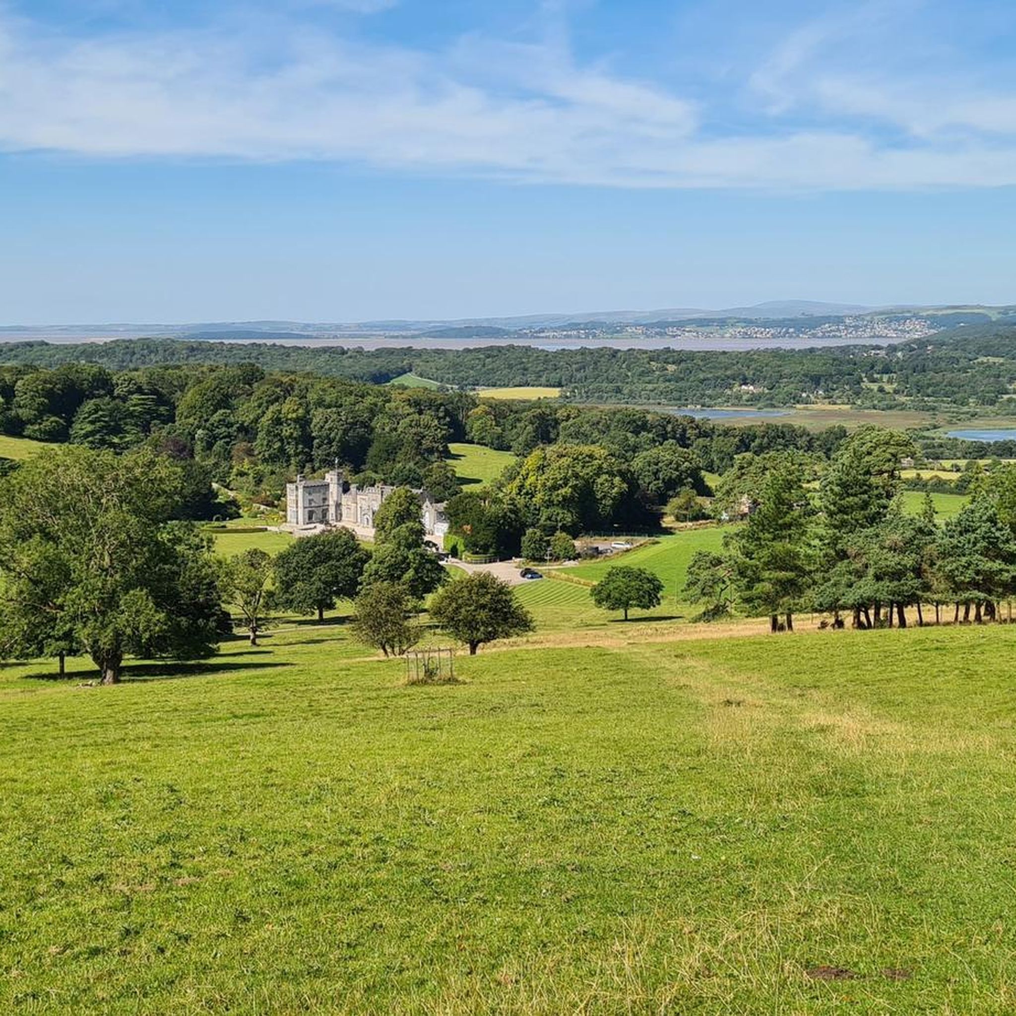
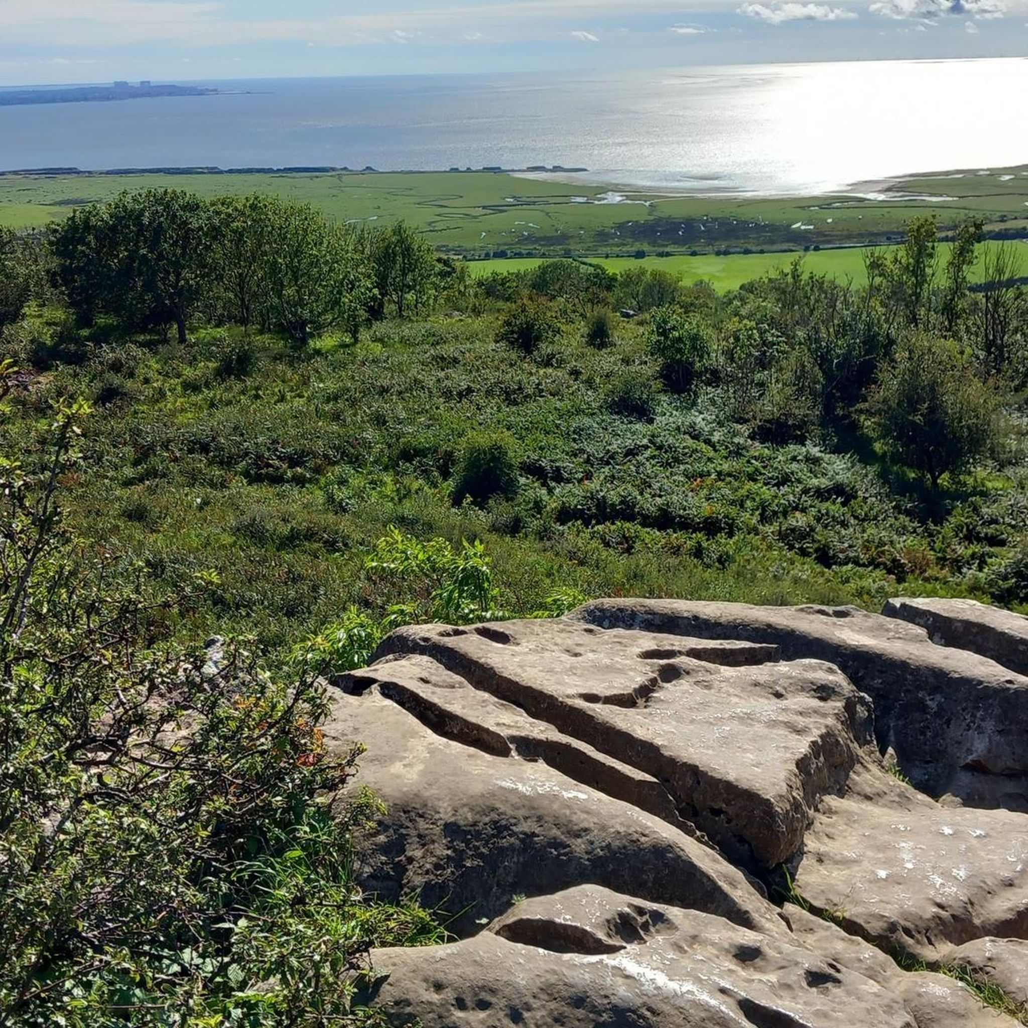
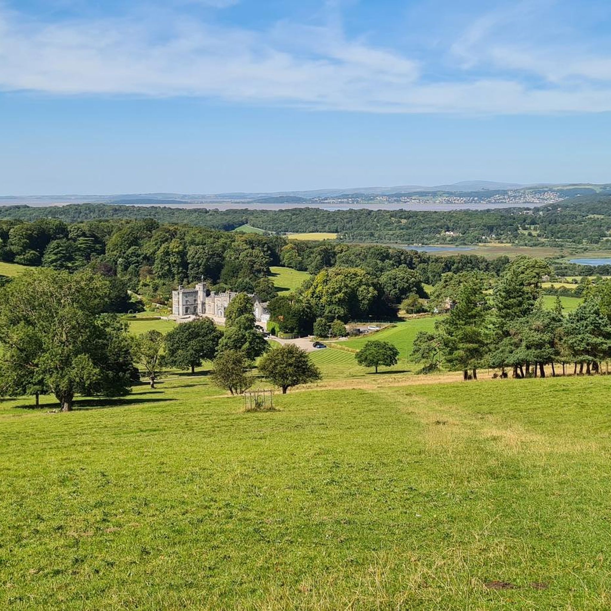
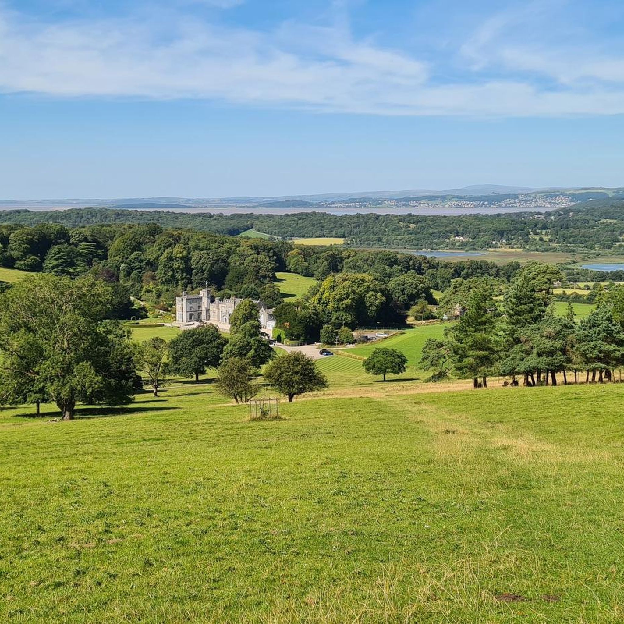
Tips from the Community

A lovely gentle ride - we went in September and it was glorious
0
0


As
0
0


Sedgwick Aqueduct was built in 1818 to carry the elevated section of the Lancaster Kendal Canal over the road between Sedgwick and Natland. It is an unusual example of a skewed bridge - most canal bridges were at right angles to the road that they cross, to simplify design and minimise materials used. A skew bridge avoids the need to put a bend in the road and was state of the art in bridge building at the time. To avoid weakness across the bridge a winding course of stones was used, which, at the same time, created the smallest span. After dewatering in 1955, the canal at Sedgwick the District Council planned to demolish the aqueduct to improve the road between Natland and Levens, but it was saved after a campaign by local residents and canal enthusiasts. It now owned by the Canal and Rivers Trust.
0
0
Frequently Asked Questions
What kind of terrain can I expect when road cycling around Yealand Conyers?
The area around Yealand Conyers, situated within the Arnside & Silverdale Area of Outstanding Natural Beauty, offers a diverse range of terrain. You'll find quiet lanes, distinctive limestone karst landscapes, and mixed broadleaf woodlands. Routes vary from mostly flat, paved surfaces, such as sections of the Lancaster Canal Towpath, to more challenging rides with significant elevation gain through limestone hills like Warton Crag and Arnside Knott. Many routes also feature stunning coastal views of Morecambe Bay.
Are there road cycling routes suitable for beginners in Yealand Conyers?
Yes, Yealand Conyers offers several road cycling routes suitable for beginners or those looking for an easier ride. These routes often feature gentle gradients and mostly paved surfaces. An example is the Borwick Village Centre – Sunnybank Climb loop from Borwick, which is an easy 14.5-mile path offering gentle gradients through village settings and countryside.
What are some challenging road cycling routes in the Yealand Conyers area?
For experienced road cyclists seeking a challenge, the region provides routes with notable climbs and longer distances. The Top of Mabbin Climb – Dallam Tower Estate loop from Silverdale is a moderate 29.6-mile route with varied terrain and significant climbs. For a more difficult and longer option, consider the Quiet Lanes at Foulshaw Moss – Dallam Park Deer Park Lane loop from Silverdale, which covers over 57 miles with substantial elevation gain.
What is the typical road surface quality like for cycling in Yealand Conyers?
The road cycling routes around Yealand Conyers primarily utilize quiet lanes, which are generally well-maintained. While most routes are on paved surfaces, some more challenging rides may include short unpaved segments, particularly when exploring more rural or natural areas. Cyclists can expect a good mix of smooth roads and some country lanes that reflect the natural landscape of the Arnside & Silverdale AONB.
What scenic landmarks or natural features can I see while road cycling near Yealand Conyers?
Road cycling in Yealand Conyers offers access to numerous scenic landmarks and natural features. You can enjoy views of Morecambe Bay, explore unique limestone pavements at Gait Barrows National Nature Reserve, and pass by prominent limestone hills like Arnside Knott and Warton Crag. The area is also home to the RSPB Leighton Moss Nature Reserve, known for its diverse birdlife, and historic sites like Leighton Hall and ancient packhorse bridges.
Is it easy to find parking for road cycling routes in Yealand Conyers?
Yes, parking is generally available near popular starting points for road cycling routes in the Yealand Conyers area. For example, you can often find parking facilities close to key attractions like RSPB Leighton Moss Nature Reserve, Arnside Knott, or in villages such as Borwick and Silverdale, which serve as common starting points for many routes.
Can I reach road cycling routes in Yealand Conyers using public transport?
Yes, it is possible to access road cycling routes in the Yealand Conyers area via public transport. The region is served by train stations that allow bike carriage, such as Silverdale and Arnside, which are located within the Arnside & Silverdale AONB. Local bus routes also operate in the area, though it's advisable to check specific services for bike space availability before planning your journey.
What is the best time of year for road cycling in Yealand Conyers?
The best time for road cycling in Yealand Conyers is typically from spring through autumn (April to October). During these months, the weather is generally milder and more predictable, offering pleasant conditions for exploring the diverse landscapes. Spring brings blooming wildflowers, while autumn showcases vibrant foliage. While cycling is possible year-round, winter months can be colder and wetter, requiring more preparation.
Are there any circular road cycling routes available around Yealand Conyers?
Yes, many road cycling routes in the Yealand Conyers area are designed as circular loops, allowing you to start and finish at the same point. Examples include the Dallam Park Deer Park Lane – Arnside Pier loop from Yealand Conyers, which is a 17.2-mile circular trail, and the Borwick Village Centre – Sunnybank Climb loop from Borwick. These loops offer convenient ways to explore the region's scenery.
What do other road cyclists enjoy the most about road cycling in Yealand Conyers?
The road cycling routes around Yealand Conyers are highly rated by the komoot community, with an average score of 4.7 stars from over 90 reviews. Cyclists frequently praise the quiet lanes, the stunning coastal views of Morecambe Bay, and the varied terrain that caters to different fitness levels. The unique limestone landscape and the opportunity to spot wildlife, particularly around areas like RSPB Leighton Moss, are also often highlighted as major draws.
Are there cafes or pubs along the road cycling routes in Yealand Conyers?
Yes, you'll find various cafes and pubs in the villages and towns surrounding Yealand Conyers, many of which are conveniently located along or near popular cycling routes. These establishments provide excellent opportunities for a refreshment stop, a meal, or a quick break during your ride. Charming canalside pubs along the Lancaster Canal Towpath are a particular highlight.
Can I find family-friendly road cycling routes in the Yealand Conyers area?
Absolutely. The area offers family-friendly road cycling options, particularly along the flat and traffic-free sections. The Lancaster Canal Towpath (part of NCN 6) is an excellent choice for families, providing a safe and scenic environment for cycling with children. Its lock-free nature makes it easy to navigate, and there are plenty of opportunities for wildlife spotting.
Are there road cycling routes where I can bring my dog?
While many road cycling routes in the Yealand Conyers area utilize public roads and bridleways, it's important to consider local regulations and the safety of your dog. Routes like the Lancaster Canal Towpath are generally suitable for cycling with dogs, provided they are well-behaved and kept on a lead where necessary. When cycling near nature reserves or livestock, always ensure your dog is under control. Always check specific route guidelines for any restrictions.
Most popular attractions around Yealand Conyers

Get inspired with the komoot mobile app


Explore more
Browse the best Road cycling routes in other regions.
