The 5 Most Amazing Peaks around Scotforth
Mountain peaks near Scotforth Lancashire are not found directly within the parish, which is characterized by an agricultural landscape and reservoirs, with the River Conder forming its eastern boundary. However, the surrounding region offers several elevated natural landscapes for exploration. These locations provide scenic views and recreational opportunities within a reasonable distance. The area is appreciated for its diverse ecosystems and geological features.
Best mountain peaks around Scotforth
- The most popular mountain peaks is Nicky Nook Summit, a viewpoint…
Last updated: October 7, 2026
Clougha Pike
Highlight • Summit
Tip by

Nicky Nook Summit
Highlight • Viewpoint
Tip by

Sign up now to discover places like this
Get recommendations on the best single tracks, peaks, & plenty of other exciting outdoor places.
Ward's Stone Summit Trig Point
Highlight • Natural Monument
Tip by

Higher Heysham
Highlight • Summit
County of Lancashire Definitive List
Tip by

Stodday Hill
Highlight • Summit
County of Lancashire Definitive List
Tip by
Start today with a free account
Your next adventure awaits.
Tips from the Community

stunning views, very quiet and peaceful walk. would recommend good shoes especially for the downhill spell.
0
0

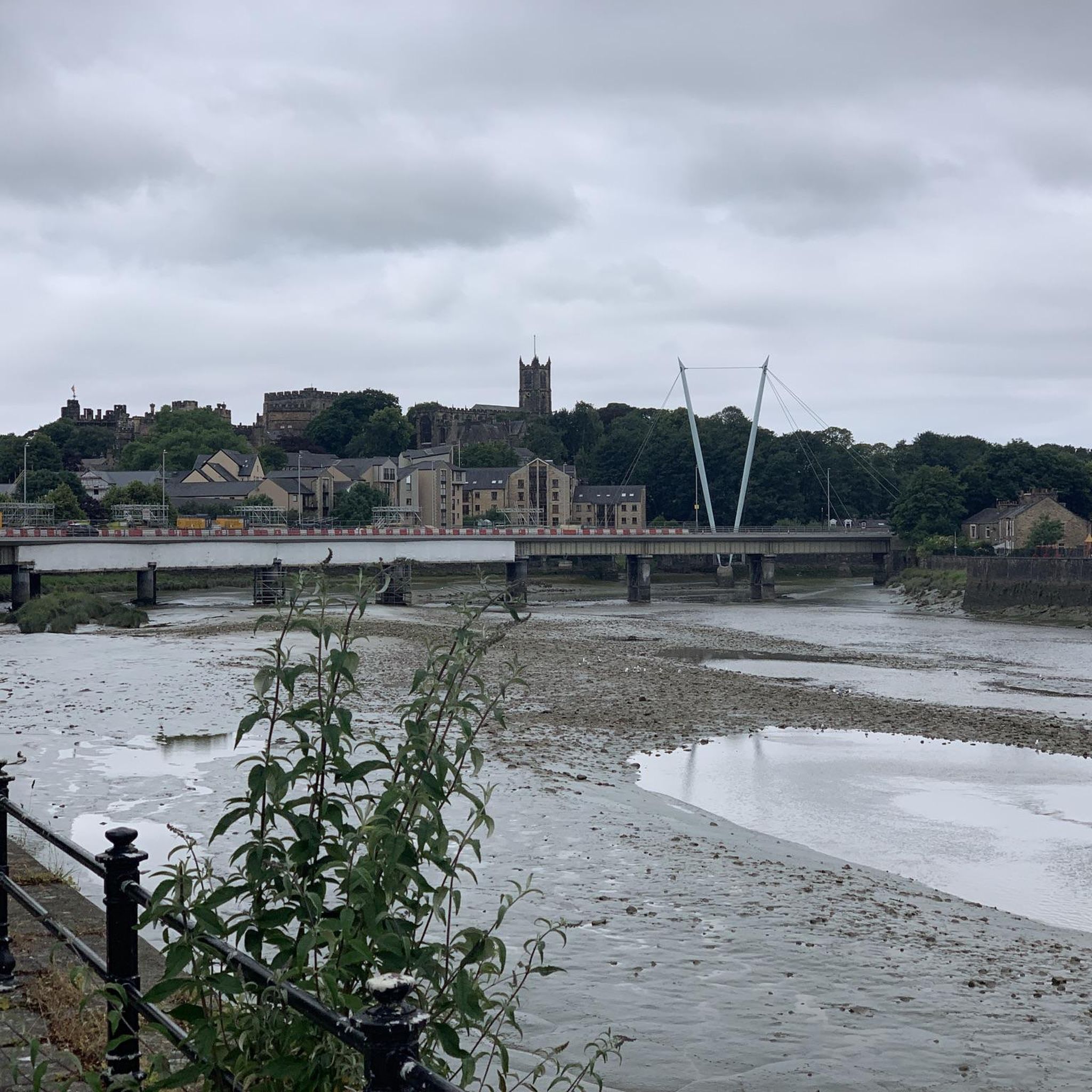
Higher Heysham 42m P36 (138ft) (DoBIH Hill ID: 16349) [JNSA 28384] County of Lancashire Definitive List
0
0
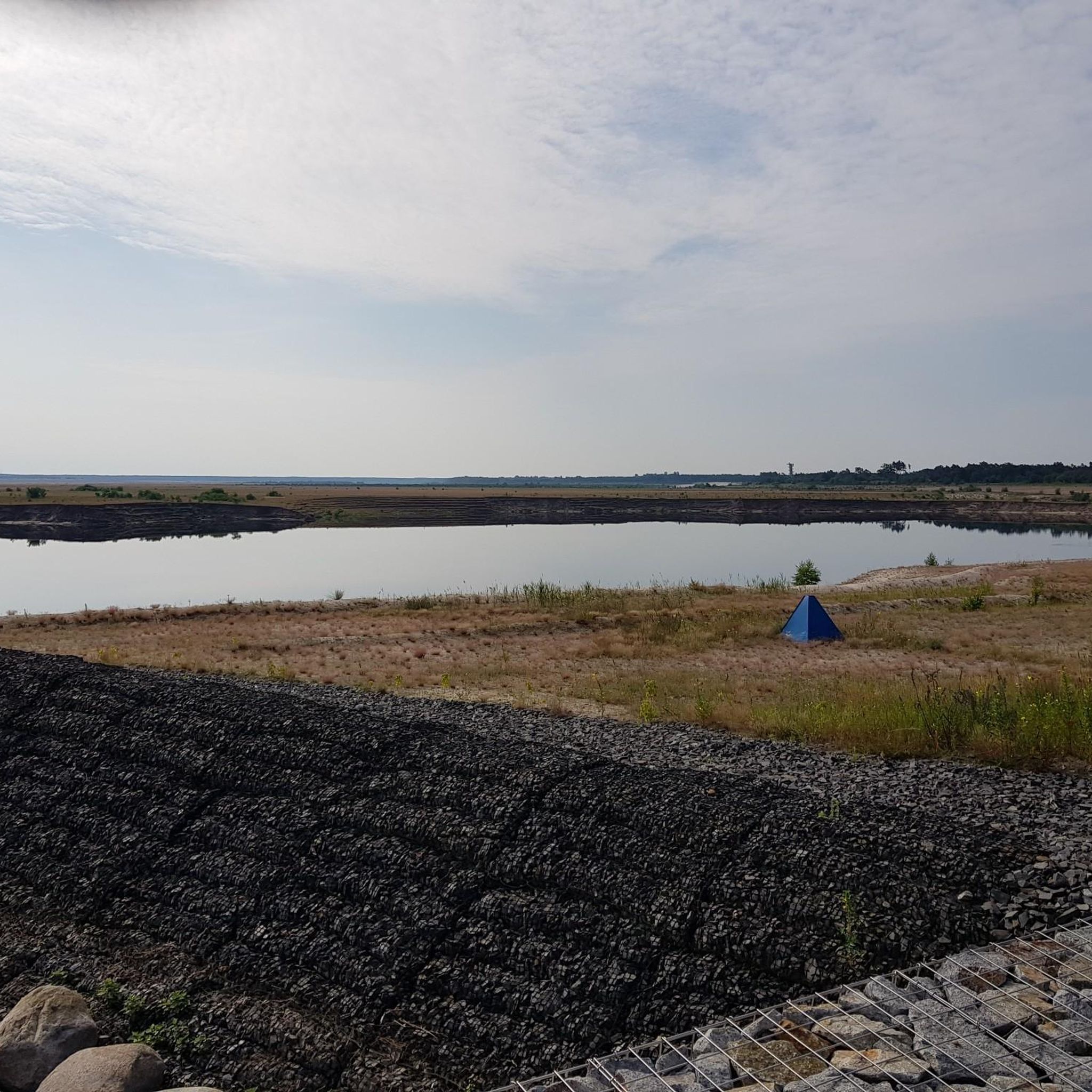
Stodday Hill 57.5m P36 (189ft) (DoBIH Hill ID: 19741) [JNSA 27611] County of Lancashire Definitive List
0
0

At the summit of Nicky Nook, runners are rewarded with panoramic views of the surrounding countryside. On a clear day, it is possible to see across the Forest of Bowland and even catch glimpses of the distant Lake District and Morecambe Bay.
1
0

The trig point at this end of the ridge and the eastern edge of the Forest of Bowland stands at 413m. It offers amazing views west out over Lancaster to Morecombe Bay and north-west to the Lake District. The ridgeline from here to Ward's Stone and beyond is a great run, it can be turned into a loop from any of the local car parks.
0
0
Ward's Stone at 561m is the highest point in the Forest of Bowland. The Trig Point and rocky outcrop make a good summit on this excellently runnable ridge from Clougha Pike in the west to Wolfhole Crag in the east. Great views all across the Forest of Bowland, out over the Irish Sea and even up into the Lake District.
0
0
Nicky Nook is a 215m high hill on the western side of the Forest of Bowland. There is a trig pointy on the summit and great views west towards the sea, Fleetwood & Blackpool.
2
0

When I went camping site didn't appear open would recommend trying to find alternative parking. Apple store Cafe not far
0
3
Frequently Asked Questions
What are some notable elevated natural landscapes near Scotforth?
While Scotforth itself is not mountainous, the surrounding region offers several elevated natural landscapes for exploration. These include Nicky Nook Summit, Clougha Pike, and Ward's Stone Summit Trig Point. Further afield, but still within a reasonable distance, you can find Arnside Knott, Humphrey Head, and Summerhouse Hill, all offering scenic views and recreational opportunities.
Which peak near Scotforth offers the highest elevation?
Ward's Stone Summit Trig Point is the highest point in the Forest of Bowland, reaching 561 meters. From its summit, you can enjoy extensive views of the Lake District fells and even across the Irish Sea on clear days.
Are there any peaks near Scotforth known for panoramic views?
Yes, several peaks offer panoramic views. Nicky Nook Summit provides views of the surrounding countryside, including the distant Lake District and Morecambe Bay. Clougha Pike offers extensive views west over Lancaster to Morecambe Bay and north-west to the Lake District. Arnside Knott also boasts panoramic views encompassing the Lakeland Fells, Yorkshire Dales, and Morecambe Bay.
What kind of wildlife and natural features can I expect to see on these peaks?
The areas around these peaks are rich in natural diversity. Arnside Knott features mixed woodland and limestone grassland, supporting various wildlife like butterflies and wildflowers. Humphrey Head is significant for its unique flora and fauna, geological formations, and estuary birdlife such as shelduck, curlew, and redshank. Peregrine falcons can also sometimes be spotted there.
Are there any historical or geological points of interest on these peaks?
Humphrey Head is steeped in local folklore, reputed to be the site where the last wolf in England was killed in the 14th century. Summerhouse Hill is named after the remains of an 18th or 19th-century summerhouse, and features interesting geological formations including large limestone boulders.
What outdoor activities can I do near the peaks around Scotforth?
You can enjoy a variety of outdoor activities. For hiking, explore routes like the 'Clougha Pike – Upper Trough Brook loop' or the 'Clougha Pike loop from Quernmore'. For cycling, consider routes such as the 'View of the Estuary – Lune Millennium Bridge loop'. You can find more details on these and other routes in the Hiking around Scotforth and Cycling around Scotforth guides.
Are there any easy hiking options for beginners or families near Scotforth's peaks?
Yes, there are several easy hiking options. You can find routes like the 'Lancaster Canal loop from Lancaster' or the 'Hiking loop from Lancaster University' which are suitable for easier outings. More options are available in the Easy hikes around Scotforth guide.
Are dogs allowed on all mountain peaks and trails near Scotforth?
While many areas are dog-friendly, it's important to check specific regulations. For example, dogs are generally not allowed on Clougha Pike due to grouse shooting and breeding activities. Always look for local signage or check specific highlight tips before bringing your dog.
What is the best time of year to visit the peaks near Scotforth?
The spring and summer months are particularly good for visiting, as the diverse ecosystems, such as those at Arnside Knott, are vibrant with wildflowers and butterflies. Clear days offer the best panoramic views from summits like Nicky Nook Summit and Ward's Stone Summit Trig Point.
What do visitors appreciate most about the mountain peaks around Scotforth?
Visitors frequently appreciate the extensive panoramic views offered from various summits, allowing glimpses of the Lake District, Morecambe Bay, and even the Irish Sea. The diverse ecosystems, opportunities for hiking, and the sense of tranquility found in these natural landscapes are also highly valued.
Are there any peaks near Scotforth that are considered 'Marilyns'?
Yes, Arnside Knott, while not a mountain in the traditional sense, is recognized as the lowest 'Marilyn' in England. A Marilyn is a British hill with a prominence of at least 150 meters, and Arnside Knott stands at 159 meters (522 feet).
Most popular attractions around Scotforth

Get inspired with the komoot mobile app


Explore more
See even more amazing summits around Scotforth with these guides:
