The best road cycling routes around Roeburndale
4.9
(52)
1,654
riders
99
rides
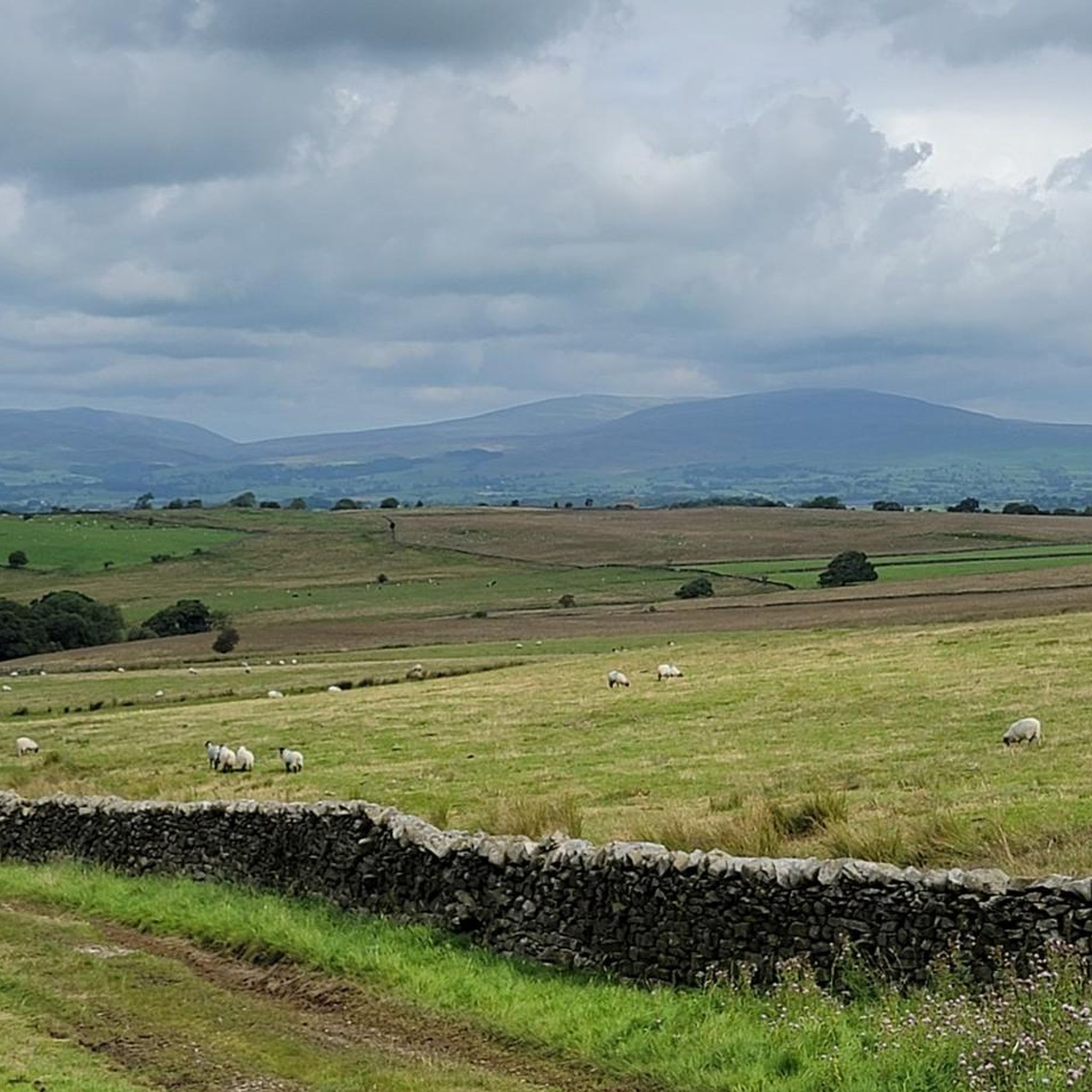
Road cycling routes around Roeburndale are characterized by tranquil, low-traffic lanes winding through the picturesque Forest of Bowland Area of Outstanding Natural Beauty. The region features a varied topography, including the dramatic River Roeburn valley, ancient semi-natural woodlands, and expansive fells. Cyclists encounter elevations reaching over 200 meters, offering views across the landscape.
Best road cycling routes around Roeburndale
- The most popular road cycling route is View of Crook O’Lune – Eric Morecambe Statue loop from Caton St. Paul's Church…
Last updated: July 1, 2026
4.9
(7)
156
riders
Easy road ride. Great for any fitness level. Mostly well-paved surfaces and easy to ride.
4.7
(3)
108
riders
63.8km
03:15
770m
770m
Moderate road ride. Good fitness required. Mostly well-paved surfaces and easy to ride.

Sign up for free
30
riders
88.4km
04:27
1,160m
1,160m
Hard road ride. Very good fitness required. Mostly well-paved surfaces and easy to ride.
5.0
(1)
21
riders
96.5km
05:15
1,520m
1,520m
Hard road ride. Very good fitness required. Mostly well-paved surfaces and easy to ride.
20
riders
35.0km
01:45
390m
390m
Moderate road ride. Good fitness required. Mostly well-paved surfaces and easy to ride.
Get access to more routes and recommendations from other explorers.
Sign up for free
Already have an account?
Our route recommendations are based on thousands of hikes, rides, and runs completed by other people on komoot.
Start today with a free account
Your next adventure awaits.
Login or Signup

Tips from the Community


Cycle the Bay Way route its well worth the effort
0
0

Great place to stop for lunch. Picnic benches, loos and river views.
0
0

Stunning views of the river. The bridge has lots of benches and is the perfect spot for a picnic.
0
0

This is marked as an intermediate walk which, in the main is accurate. The walk starts with a steep incline, well covered in the walk description. What is less documented is the subsequent decent which can be challenging for the novice/ intermediate walker. The path down is narrow and the potential fall severe. Please be aware. Other than that, the walk offers wonderful views after the initial climb and relatively sedate walk after decent.
0
0

Great cycling road in either direction, steady climb with a couple of tough sections heading east. Tough climb at the start heading west then a great descent! My favourite road!
0
0
Great bike path for getting between Morecambe and Lancaster
0
0

Frequently Asked Questions
How many road cycling routes are available in Roeburndale?
There are over 100 road cycling routes around Roeburndale, catering to various skill levels. This includes 26 easy routes, 60 moderate routes, and 18 difficult routes, ensuring options for every cyclist.
What kind of terrain can I expect when road cycling in Roeburndale?
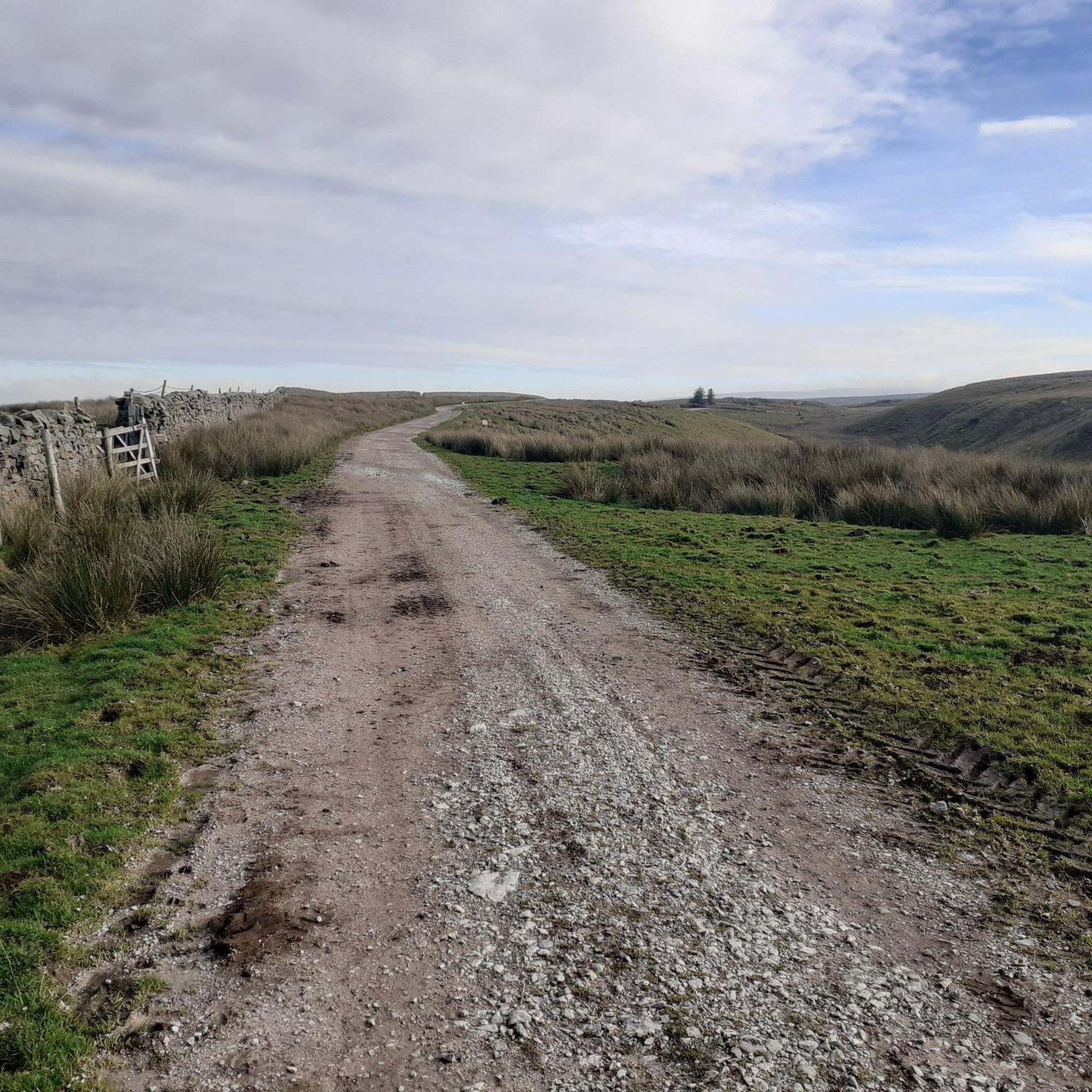
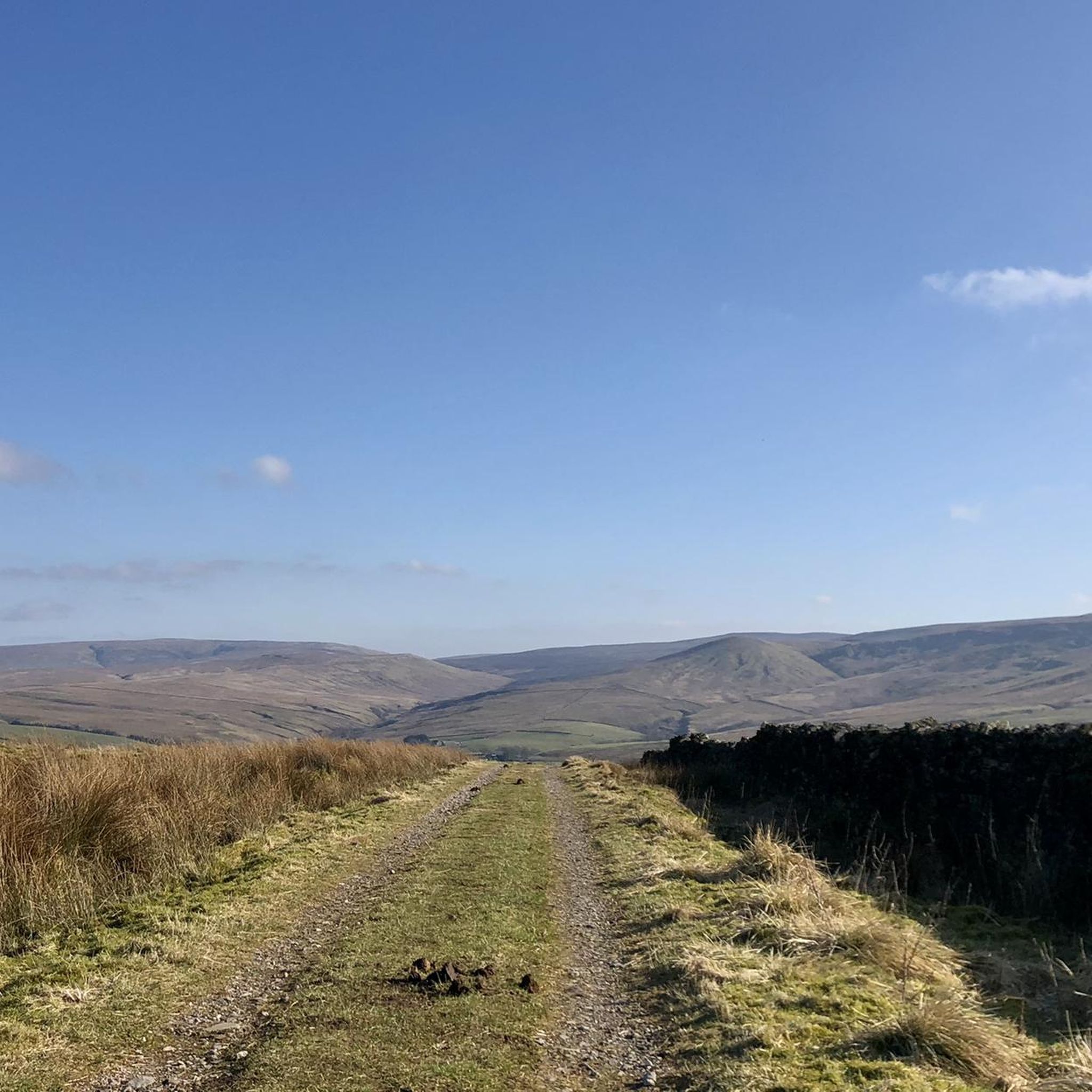
Roeburndale offers a diverse road cycling experience, characterized by tranquil, low-traffic lanes winding through the Forest of Bowland. You'll encounter varied topography, from the dramatic River Roeburn valley to ancient woodlands and expansive fells. Routes feature challenging climbs, such as sections of the Jubilee Tower (Quernmore) with gradients up to 14%, and rewarding descents. Elevations can reach over 200 meters, providing captivating views.
Are there any family-friendly road cycling routes in Roeburndale?
Yes, Roeburndale offers several easy road cycling routes suitable for families. These routes typically feature tranquil, low-traffic lanes, allowing for a more relaxed and enjoyable experience. One popular easy route is the View of Crook O’Lune – Eric Morecambe Statue loop from Caton St. Paul's Church, which is 25.8 miles long and offers scenic views.
What are some notable landmarks or viewpoints I can see along the road cycling routes?
Road cycling in Roeburndale provides access to several significant landmarks and stunning viewpoints. You can experience the challenging climb to Jubilee Tower (Quernmore), or traverse the scenic Trough of Bowland Pass. Cyclists also enjoy expansive views to Whit Moor and down to the River Roeburn, with distant glimpses of Morecambe Bay and the Lake District on clear days. The area also features ancient woodlands, part of Lancashire's remaining Atlantic Temperate Rainforest.
Are there any cafes or pubs along the road cycling routes in Roeburndale?
Yes, the region offers amenities for cyclists. Dunsop Bridge, known as the village closest to the center of the British Isles, is a popular spot with a cafe and a pub, making it a good starting point or rest stop for rides.
What do other road cyclists enjoy most about road cycling in Roeburndale?
The road cycling routes in Roeburndale are highly rated by the komoot community, with an average score of 4.9 stars from over 40 reviews. Cyclists frequently praise the tranquil, low-traffic lanes, the dramatic landscapes of the River Roeburn valley, and the challenging yet rewarding climbs and descents. The sense of peaceful solitude and the captivating views are often highlighted.
Can I find challenging routes for advanced road cyclists in Roeburndale?
Absolutely. Roeburndale offers several challenging routes for experienced road cyclists. These include paths with significant elevation gain and steep sections, such as the Chipping Village – Hodder Bridge loop from Wennington, which covers 54.9 miles with over 1,100 meters of ascent. Another demanding option is the Barbon Dale Road – Barbondale Valley loop from Wennington, a 96.5-mile route with over 1,500 meters of climbing.
Is there a section of the Lancashire Cycleway that passes through Roeburndale?
Yes, the wider Lancashire Cycleway, known for its use of minor roads through scenic beauty, passes through the Roeburndale area. This network, along with the Forest of Bowland's 'Quiet Lanes,' enhances the experience for cyclists, offering well-maintained and less-trafficked routes.
What is the best time of year for road cycling in Roeburndale?
The best time for road cycling in Roeburndale is generally during the spring, summer, and early autumn months. During these periods, the weather is typically milder, and the ancient woodlands are particularly vibrant, with bluebells in spring. Clear days offer the best chance for distant views of Morecambe Bay and the Lake District.
Are there any long-distance road cycling routes that include Roeburndale?
Yes, the Way of the Roses coast-to-coast route includes a section through the Forest of Bowland, passing through villages like Hornby and Wray, which are in the vicinity of Roeburndale. This allows for longer, multi-day cycling adventures that incorporate the region's beautiful landscapes.
Where can I find parking for road cycling routes in Roeburndale?
While specific parking areas for each route vary, many routes start from villages like Wennington or Caton St. Paul's Church, where local parking options may be available. For routes starting near Dunsop Bridge, there are amenities and potential parking as it serves as a popular hub for outdoor activities.
Most popular attractions around Roeburndale

Get inspired with the komoot mobile app


Explore more
Browse the best Road cycling routes in other regions.
