The best walks and hikes around Astley Village
4.6
(2072)
16,400
hikers
532
hikes
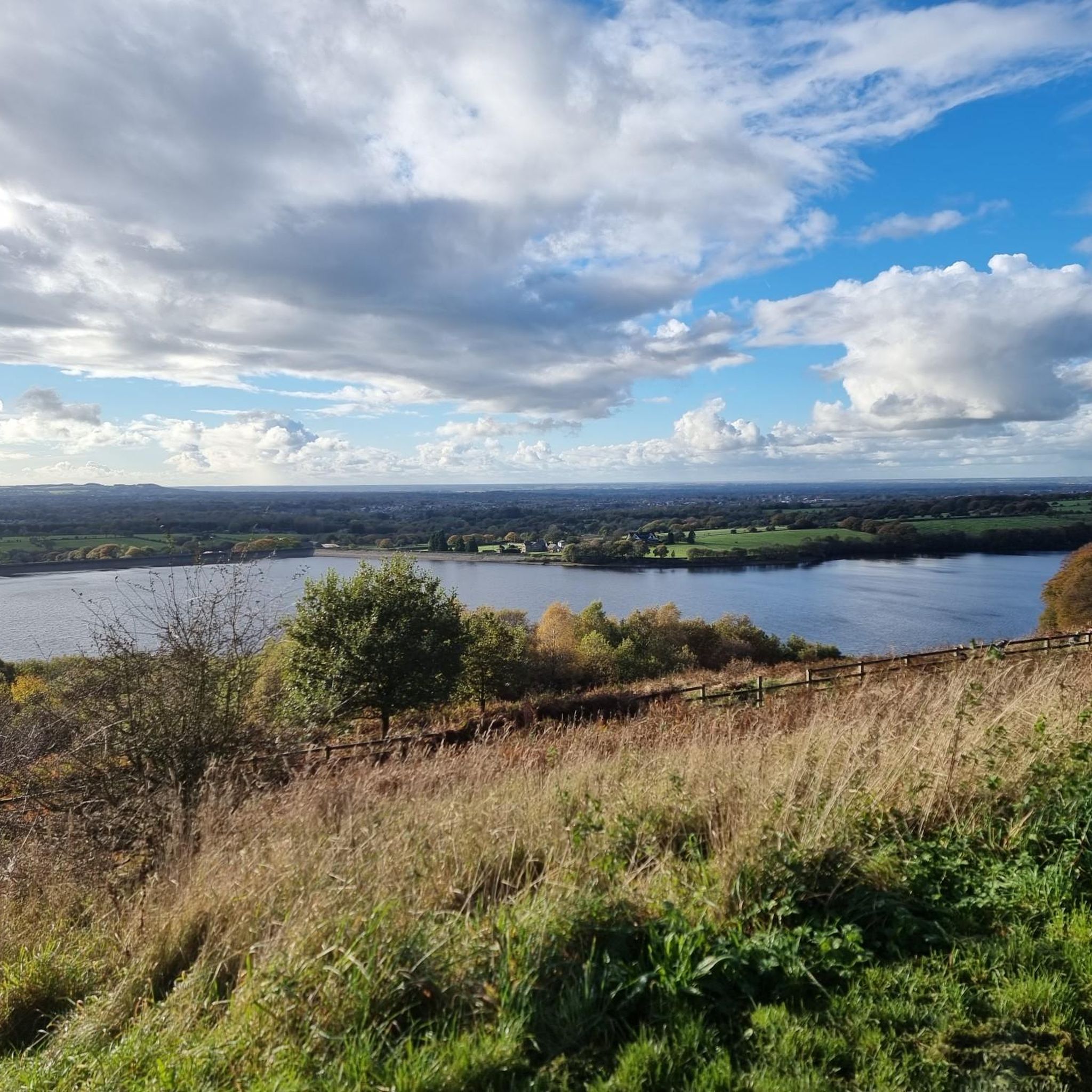
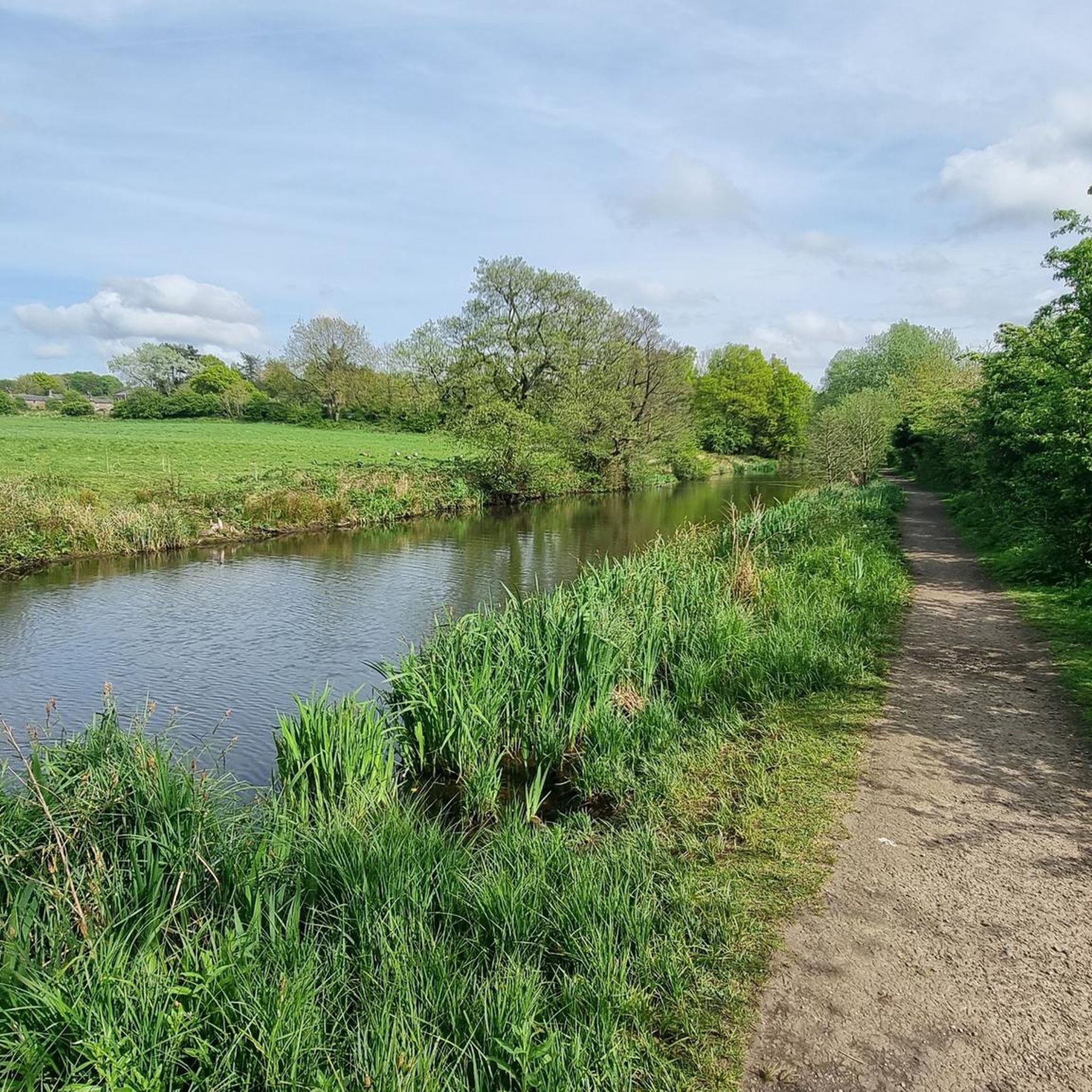
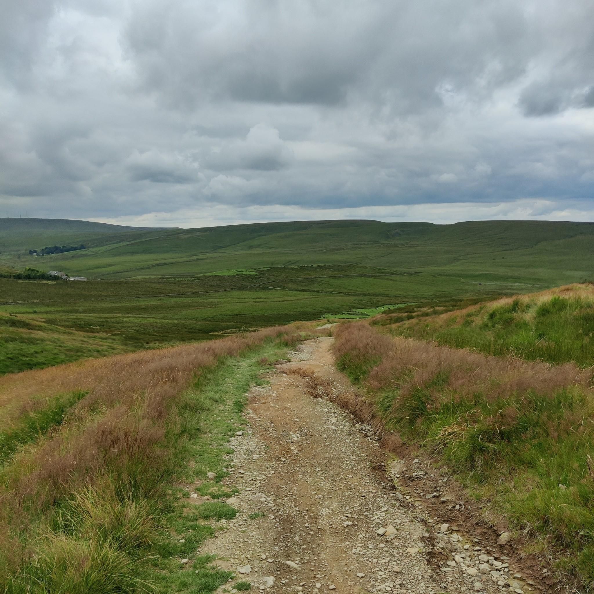
Hiking around Astley Village explores a landscape characterized by canal towpaths, riverside trails, and expansive parklands. The terrain features generally gentle gradients along the Leeds and Liverpool Canal and the River Douglas. Routes extend into ancient woodlands, open fields, and the nearby West Pennine Moors, offering varied scenery. The area provides a network of public footpaths, canal towpaths, and woodland trails.
Best hiking trails around Astley Village
- The most popular hiking route is Rivington Pike Tower – Seven Arched Bridge loop from Chorley, a 13.8 miles (22.3 km) trail that takes 6 hours 7 minutes to complete. This difficult route features significant elevation gain.
- Another top favourite among local hikers is Geoff Witts Millennium Green loop from Euxton Balshaw Lane, an easy 3.2 miles (5.2 km) path. The route offers gentle gradients through green spaces.
- Local hikers also love the The War Horse loop from Buckshaw Parkway, a 4.0 miles (6.4 km) trail leading through local countryside, often completed in about 1 hour 40 minutes.
- Hiking around Astley Village is defined by its network of public footpaths, canal towpaths, and woodland trails. The collection of routes provides options for different ability levels, from easy circular walks to more demanding hikes.
- The routes in Astley Village are highly rated by the komoot community with an average score of 4.6 stars from over 1,900 reviews. More than 16,000 hikers have used komoot to explore Astley Village's varied terrain.
Last updated: July 5, 2026
3.5
(2)
38
hikers
22.3km
06:07
360m
360m
Hard hike. Very good fitness required. Easily-accessible paths. Suitable for all skill levels.
20
hikers
5.23km
01:21
30m
30m
Easy hike. Great for any fitness level. Easily-accessible paths. Suitable for all skill levels.

Sign up for free
4.0
(2)
20
hikers
6.40km
01:41
50m
50m
Easy hike. Great for any fitness level. Easily-accessible paths. Suitable for all skill levels.
1.0
(1)
9
hikers
6.45km
01:39
20m
20m
Easy hike. Great for any fitness level. Easily-accessible paths. Suitable for all skill levels.
12
hikers
3.46km
00:54
30m
30m
Easy hike. Great for any fitness level. Easily-accessible paths. Suitable for all skill levels.
Get access to more routes and recommendations from other explorers.
Sign up for free
Already have an account?
Our route recommendations are based on thousands of hikes, rides, and runs completed by other people on komoot.
Start today with a free account
Your next adventure awaits.
Login or Signup
Tips from the Community

Rivington Pike with lovely views, steep steps on one side but the tracks round the back are less steep.
0
0


Beautiful garden to delight all the sensors.
0
0
An amazing area even when covered in snow
0
0


The War Horse is a casual pub very nice inside. Serves a great Sunday roast. I was told by the locals.
7
0
Absolutely stunning views and plenty of climbs but well worth it
0
1
Buckshaw Village (often shortened to Buckshaw) is a 21st-century residential and industrial area between the towns of Chorley and Leyland in Lancashire, England, developed on the site of the former Royal Ordnance Factory (ROF) Chorley. It had a population of 4,000. Citation needed] It is divided between the civil parishes of Euxton (south) and Whittle-le-Woods (north east)[2] in Chorley, with the north western part being in Leyland unparished area in South Ribble district
0
0
Frequently Asked Questions
Are there many circular walks starting from Astley Village?
Yes, the area is well-suited for circular hikes. Many routes combine paths through local parks with sections along the Leeds and Liverpool Canal or the River Douglas, allowing you to finish back where you started without retracing your steps. For a shorter, accessible loop, consider the The Top Lock Pub – The Malthouse Farm loop from Great Knowley, which is a gentle walk through the countryside.
What is the terrain like on the walking paths?
The terrain around Astley Village is quite varied. You'll find many flat, well-maintained paths, especially along the canal towpaths and within Astley Park. Other routes feature gentle gradients as they meander through woodlands and open fields. For more of a challenge, some trails extend towards the West Pennine Moors, offering steeper ascents and more rugged ground.
Are the hiking trails suitable for children and families?
Definitely. Astley Park is a fantastic starting point for families, with dedicated trails, a sensory garden, and plenty of open space. The paths are generally easy and engaging for younger walkers. For a slightly longer but still manageable adventure, the trails within Yarrow Valley Country Park are also very popular with families.
Can I bring my dog on the trails around Astley Village?
Most trails in the area are dog-friendly, but it's always best to keep your dog on a lead, especially near farmland with livestock or in designated park areas. The expansive grounds of Cuerden Valley Park and the paths along the River Douglas are great for walks with a canine companion.
Where can I find a good pub for after a hike?
There are several welcoming pubs in and around the area perfect for relaxing after a walk. Many hikers enjoy visiting the pubs near the Top Lock on the canal, which are conveniently located at the start or end of several popular routes. The Red Lion in Astley Village is also a well-regarded option for a post-hike meal or drink.
Are there any walks with waterfalls or weirs?
Yes, you can find some lovely waterside features on local hikes. Duxbury Weir is a popular spot for a scenic walk along running water. For a more distinct waterfall, a short trip to Roddlesworth Waterfall near Tockholes offers a great photo opportunity and can be incorporated into a longer moorland hike.
What are the best options for a more challenging, hilly hike?
For those seeking elevation and rewarding views, the trails heading towards the West Pennine Moors are your best bet. The Rivington Pike Tower – Seven Arched Bridge loop from Chorley is a demanding hike that rewards you with panoramic views from the iconic tower. You can also find challenging terrain around Denham Hill Quarry.
Where is the best place to park for the trails?
For walks centered around the village, the main car park for Astley Park is the most convenient option. Yarrow Valley Country Park and Cuerden Valley Park also have their own dedicated parking areas. For routes starting along the canal, you can often find smaller parking spots near the locks, such as at Top Lock, Wheelton.
Is it possible to reach the hiking trails using public transport?
Yes, Astley Village and the surrounding area are accessible by public transport. Chorley is the main hub, with a train station and numerous bus routes that stop near the entrances to Astley Park and other trailheads. This makes it easy to plan a day of hiking without needing a car.
What do other hikers enjoy most about the trails here?
The area is highly rated by the komoot community, with an average score of 4.6 stars. Reviewers often praise the variety of scenery, from the peaceful canal towpaths and ancient woodlands to the open moorland views. The well-maintained and clearly marked public footpaths are also frequently mentioned as a major plus.
How many hiking trails are there around Astley Village?
There are over 450 hiking routes to explore in the region. This collection includes everything from short, easy strolls within parks to long-distance treks, with a good balance of easy and moderate options to suit most fitness levels.
What are some popular places to visit while hiking in the area?
Many trails incorporate local points of interest. Some popular spots include:
- Astley Park: A local favourite, featuring woodlands, a lake, and the historic Astley Hall.
- Duxbury Weir: A scenic spot on the River Douglas, perfect for a peaceful waterside walk.
- Withnell Nature Trail: An easy walk along a former railway line, offering a mix of woodland and heathland.
- Roddlesworth Waterfall: A picturesque waterfall that can be included in hikes on the nearby moors.
Most popular attractions around Astley Village

Get inspired with the komoot mobile app


Explore more
Browse the best Hikes in other regions.
