The best walks and hikes around Worsthorne-With-Hurstwood
4.6
(1662)
14,052
hikers
45
hikes
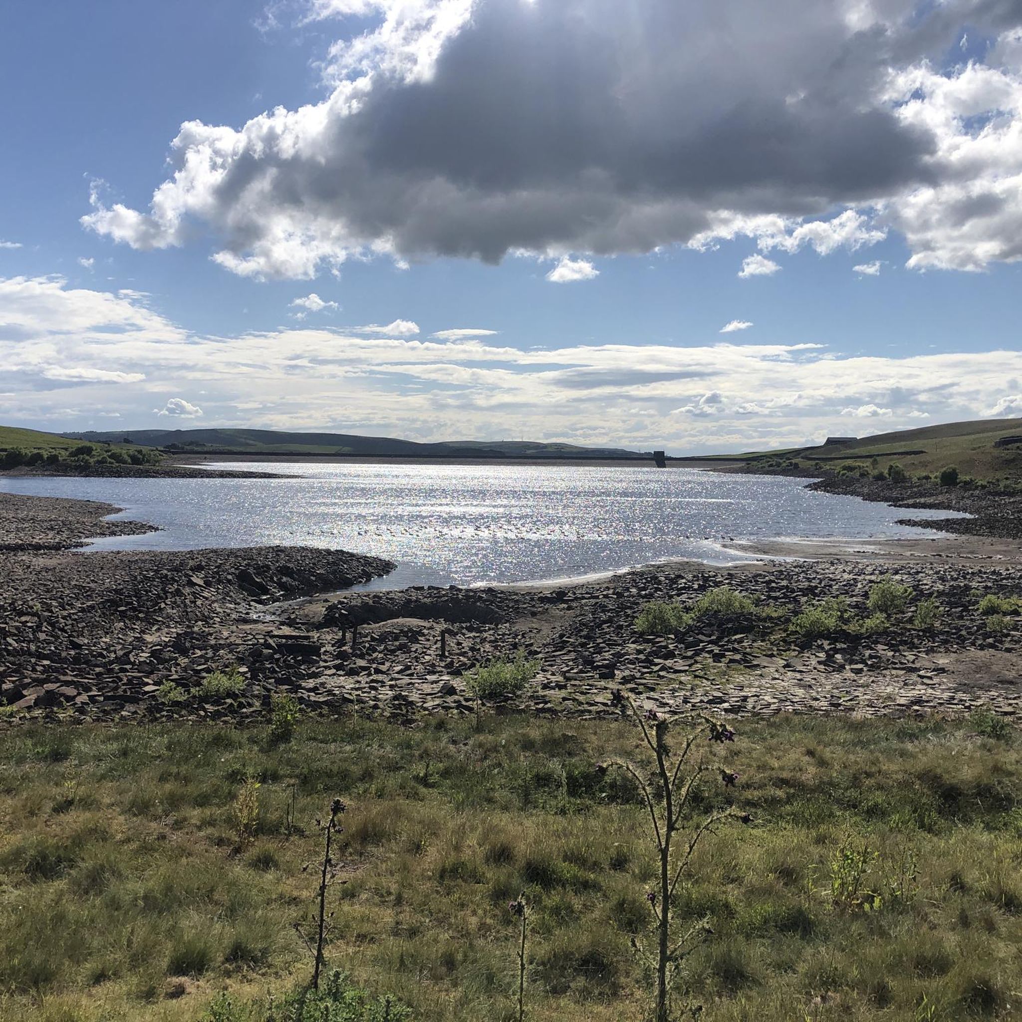
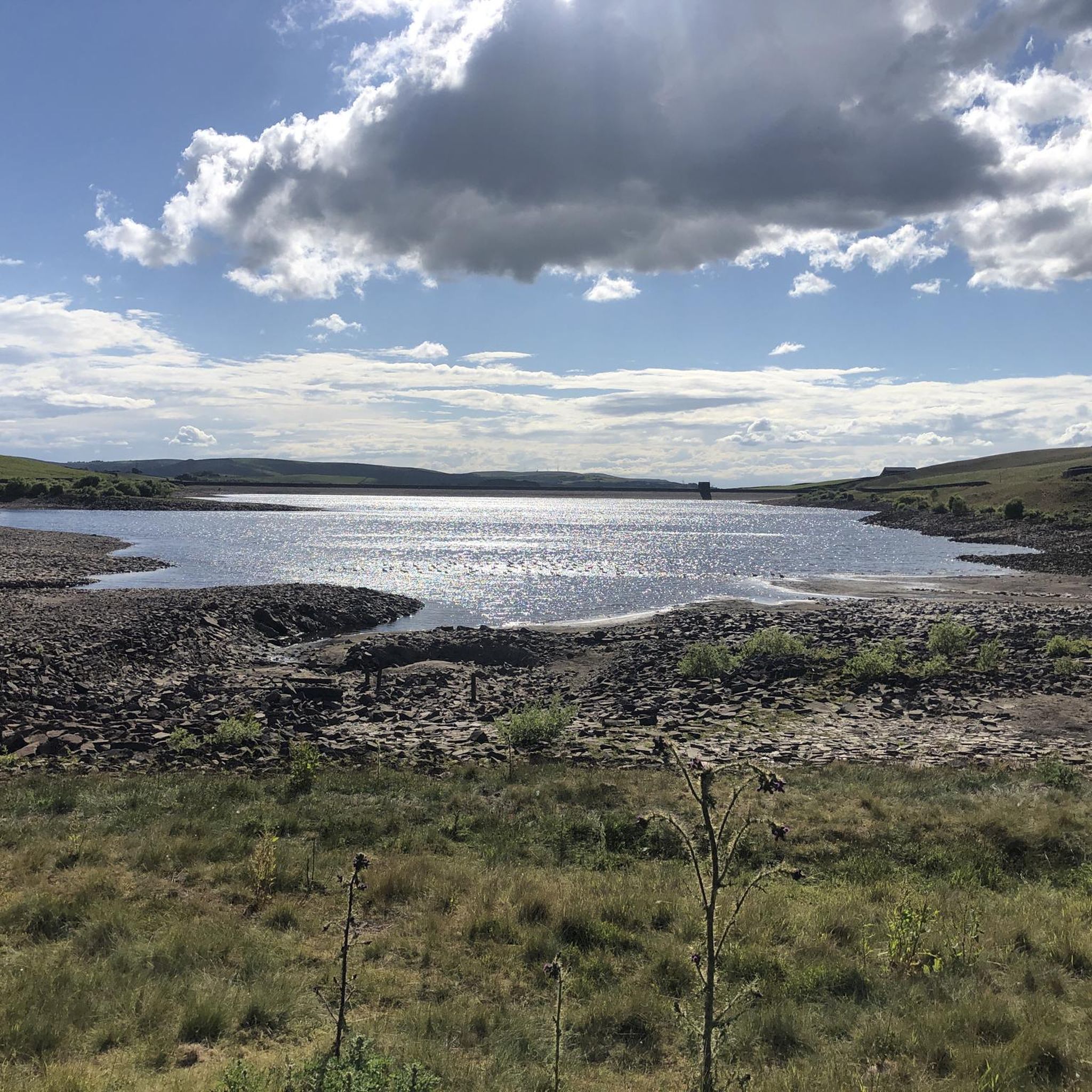
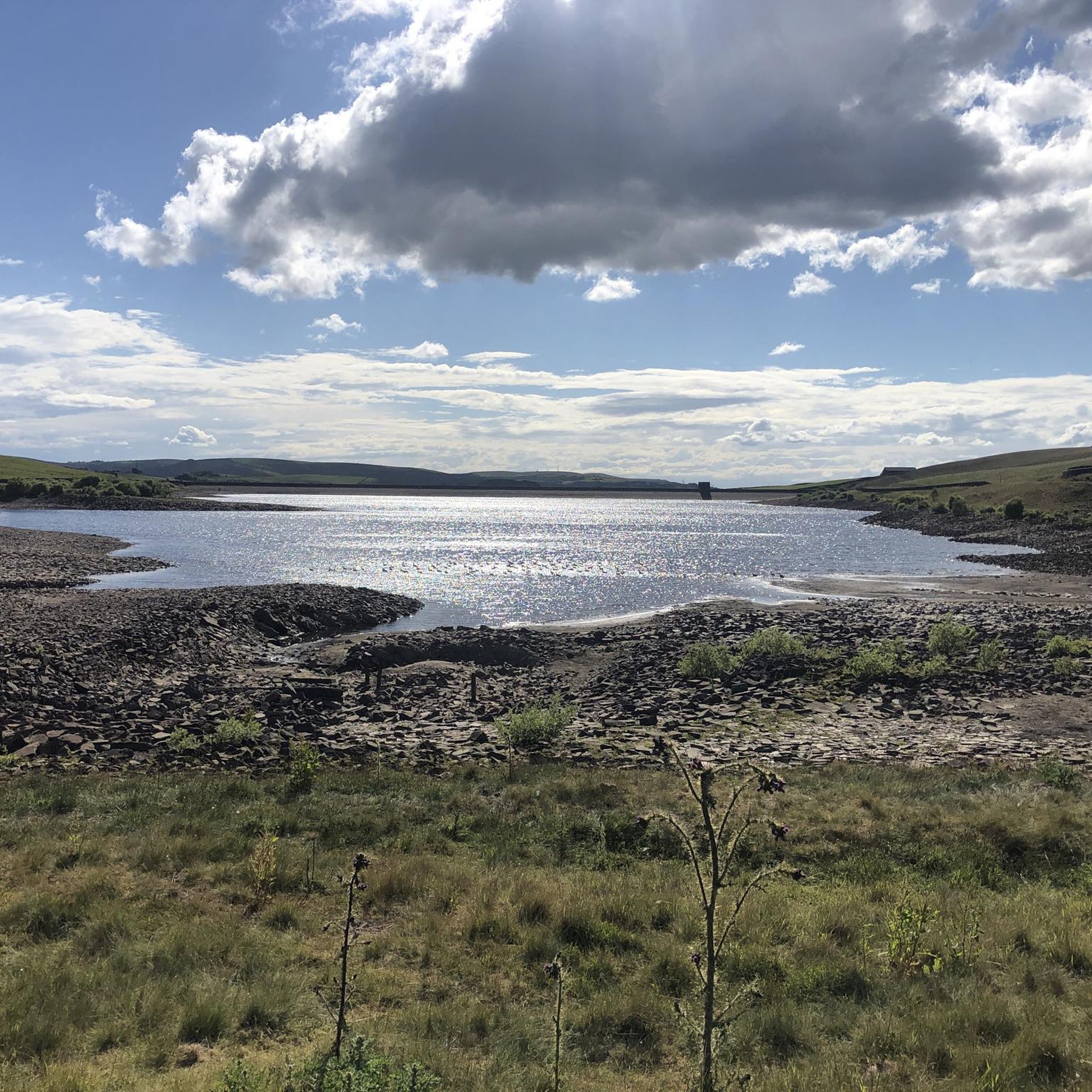
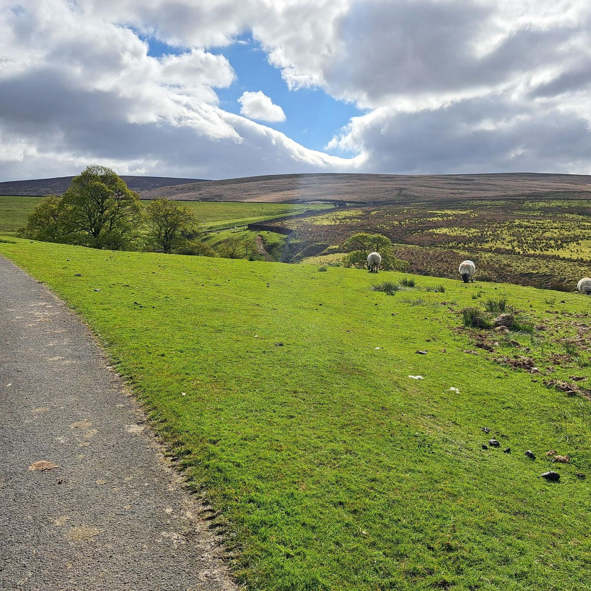
Hiking around Worsthorne-With-Hurstwood explores a landscape of open moorland, wooded valleys, and serene reservoirs on the edge of the Pennines. The terrain features a mix of gentle paths around bodies of water like Hurstwood Reservoir and Rowley Lake, alongside more challenging routes into the surrounding moorlands. The area's network of footpaths provides access to notable features including Hoof Stones Height and the historic villages of Worsthorne and Hurstwood.
Best hiking trails around Worsthorne-With-Hurstwood
- The most popular hiking route is Hurstwood Reservoir – Hurstwood Reservoir loop from St John the Evangelist, a 4.6 miles (7.3 km) trail that takes about 2 hours 3 minutes to complete. This moderate route provides views over Burnley and the surrounding landscape.
- Another top favourite among local hikers is Hurstwood Mountain Biking Trail – Hurstwood Reservoir loop from St John the Evangelist, an easy 3.2 miles (5.1 km) path. The trail is a gentle walk suitable for a range of fitness levels.
- Local hikers also love the Hurstwood Mountain Biking Trail – Hurstwood Reservoir loop from Turf Moor, a 6.5 miles (10.4 km) trail leading through the area's moorland, often completed in about 2 hours 55 minutes.
- Hiking around Worsthorne-With-Hurstwood is defined by expansive moorlands, serene reservoirs, and historic footpaths. The network of more than 45 trails offers options for different ability levels, from easy family walks to more challenging hikes.
- The routes in Worsthorne-With-Hurstwood are highly rated by the komoot community with an average score of 4.6 stars from over 1,500 reviews. More than 14,000 hikers have used komoot to explore Worsthorne-With-Hurstwood's varied terrain.
Last updated: July 5, 2026
4.6
(5)
74
hikers
Moderate hike. Good fitness required. Easily-accessible paths. Suitable for all skill levels.
4.6
(11)
164
hikers
Easy hike. Great for any fitness level. Easily-accessible paths. Suitable for all skill levels.

Sign up for free
4.0
(1)
29
hikers
10.5km
02:51
160m
160m
Moderate hike. Good fitness required. Easily-accessible paths. Suitable for all skill levels.
5.0
(1)
21
hikers
4.73km
01:17
70m
70m
Easy hike. Great for any fitness level. Easily-accessible paths. Suitable for all skill levels.
5.0
(5)
19
hikers
16.6km
04:43
380m
380m
Moderate hike. Good fitness required. Easily-accessible paths. Suitable for all skill levels.
Get access to more routes and recommendations from other explorers.
Sign up for free
Already have an account?
Our route recommendations are based on thousands of hikes, rides, and runs completed by other people on komoot.
Start today with a free account
Your next adventure awaits.
Login or Signup

Tips from the Community

stunning 360 views from the top of the rocks
0
0
Beautiful reservoir surrounded by huge rock formations , popular with climbers
0
0
Sunning views from the tops of the rocks overlooking Upper Gorple reservoir
0
0
A gorgeous area around black moor with amazing views and the rocks above upper Gorple and Widdop reservoirs are outstanding
0
0

Head up to the first reservoir before coming to the gate where you bear right and head up to the sheep track
0
0

The paths are mostly well-surfaced paths but there is a long, steep and rocky climb at the beginning followed by a rocky/grassy. But the climb can be quite intense and exposed on a bad day.
3
0

Great picnic/break spot before descending either way
0
0
Frequently Asked Questions
Are there any easy, family-friendly walks in the area?
Yes, there are many options suitable for families. The Rowley Lake loop from Turf Moor is a gentle 3.2-mile (5.2 km) walk that is mostly flat and offers a peaceful experience. Another great option is the Brun Valley Forest Park, which has plenty of paths and picnic tables, making it ideal for a family day out.
Where can I find a challenging hike around Worsthorne-with-Hurstwood?
For a more strenuous walk, the moorlands offer a challenge. The area provides access to sections of the famous Pennine Way national trail. You can also tackle ascents to landmarks like Hoof Stones Height for rewarding panoramic views across the South Pennines.
Are the hiking trails suitable for dogs?
Many trails in the area are great for walking with dogs, especially the paths around the reservoirs and through the woodlands. However, when walking on open moorland, particularly between March and July, it's important to keep dogs on a lead to protect ground-nesting birds. Always be mindful of livestock in fields.
What are the parking options for the main trailheads?
For walks starting near the reservoirs, there is a well-regarded car park at Worsthorne Moor - Maidens Cross on The Long Causeway. This is a convenient starting point for routes exploring Shedden Clough, Cant Clough, and Hurstwood Reservoirs. Street parking is available in Worsthorne village, but please park considerately.
Can I get to the trails using public transport?
Yes, the village of Worsthorne is served by local bus routes from Burnley town centre. From the village, you can easily access the network of footpaths leading to Hurstwood Reservoir and the surrounding moors. It's best to check the latest bus timetables before you travel.
Are there any pubs or cafes on the walking routes?
The villages of Worsthorne and Hurstwood have traditional pubs that are perfect for a post-hike meal or drink. For example, after a walk up Hameldon Hill, you could visit The Hapton Inn nearby. These local establishments offer a welcoming atmosphere to rest and refuel.
What kind of scenery can I expect on the trails?
The landscape is very diverse. You'll find a mix of rugged open moorland with expansive views, peaceful reservoirs like Hurstwood and Cant Clough, and sheltered wooded valleys. The area is also known for its historic stone-built villages and distinctive rock formations like the Gorple Stones.
How many hiking trails are there around Worsthorne-with-Hurstwood?
There is a wide selection of routes to choose from, with nearly 50 different trails mapped on komoot. These range from short, easy strolls to longer, more demanding moorland treks, ensuring there's a walk for every ability level.
What do other hikers say about the trails in this region?
The trails around Worsthorne-with-Hurstwood are highly rated by the komoot community. Hikers often praise the variety of the landscape, from the serene reservoir paths to the wildness of the open moors. The well-maintained footpaths and the stunning views are frequently mentioned as highlights.
Are there any circular walks that start from the villages?
Yes, many routes are circular. A good moderate option is the Hurstwood Reservoir – View of Hurstwood Reservoir loop from Pike Hill. This 6.5-mile (10.4 km) trail offers beautiful views of the reservoir and takes you through some of the area's characteristic scenery.
Are there any historical points of interest to see on a walk?
The village of Hurstwood is a key historical attraction, with notable buildings like Hurstwood Hall and Spenser House, which has links to the poet Edmund Spenser. The trails themselves often follow ancient packhorse routes, and the landscape is dotted with signs of its industrial past.
Most popular routes around Worsthorne-With-Hurstwood
Most popular attractions around Worsthorne-With-Hurstwood

Get inspired with the komoot mobile app


Explore more
Browse the best Hikes in other regions.
