The best running trails around Strickland Ketel
4.8
(15)
487
runners
28
runs
Jogging routes around Strickland Ketel traverse a landscape characterized by the undulating terrain of the Westmorland Dales, bordering the Lake District National Park. The area features a mix of fells, woods, and pastures, with notable limestone formations such as Cunswick Scar. Jogging paths often follow the River Kent and lead to scenic spots like Potter Tarn, offering varied elevations and surfaces. This region provides access to a network of trails suitable for different running preferences.
Best jogging routes around Strickland…
Last updated: October 11, 2026
5.0
(1)
116
runners
8.23km
00:52
60m
60m
Moderate run. Good fitness required. Mostly paved surfaces. Suitable for all skill levels.
5.0
(1)
68
runners
11.0km
01:14
220m
220m
Moderate run. Good fitness required. Mostly paved surfaces. Suitable for all skill levels.

5.0
(2)
74
runners
15.2km
01:35
90m
90m
Hard run. Very good fitness required. Mostly paved surfaces. Suitable for all skill levels.
31
runners
17.7km
02:08
430m
430m
Hard run. Very good fitness required. Mostly paved surfaces. Suitable for all skill levels.
22
runners
11.0km
01:09
60m
60m
Moderate run. Good fitness required. Mostly paved surfaces. Suitable for all skill levels.
Get access to more routes and recommendations from other explorers.
Already have an account?
Our route recommendations are based on thousands of hikes, rides, and runs completed by other people on komoot.
Start today with a free account
Your next adventure awaits.

Tips from the Community

Nook Bar and Kitchen. Great food and beer - just like the old times
0
0

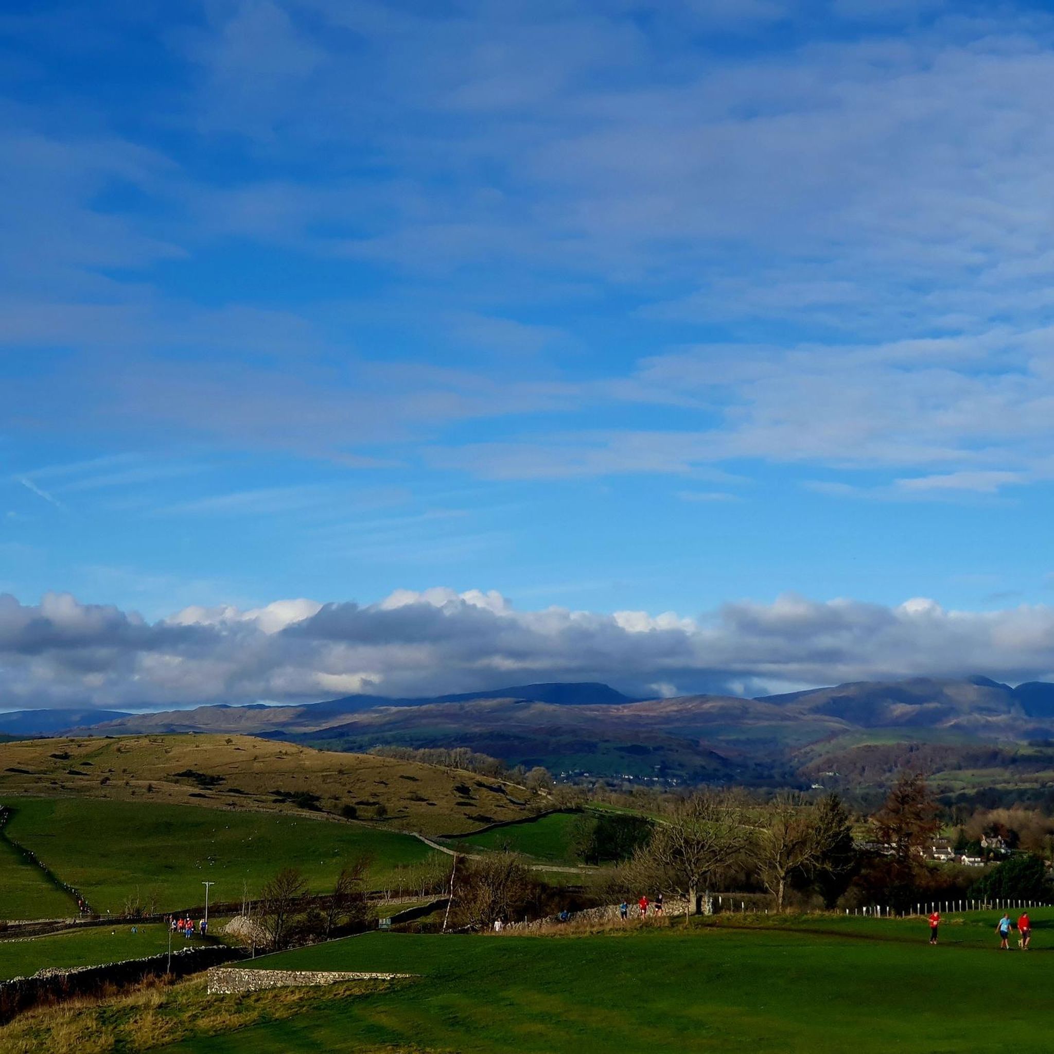
Although short lived, the River Kent is surely one of England's most scenic. It gathers high in the Kentmere fells and flows through Staveley and Kendal, before emptying into Morcambe Bay at the Kent Estuary. This riverside section forms a part of the Dales Way, a celebrated long-distance hike between Ilkley in West Yorkshire and Bowness-on-Windermere.
0
0
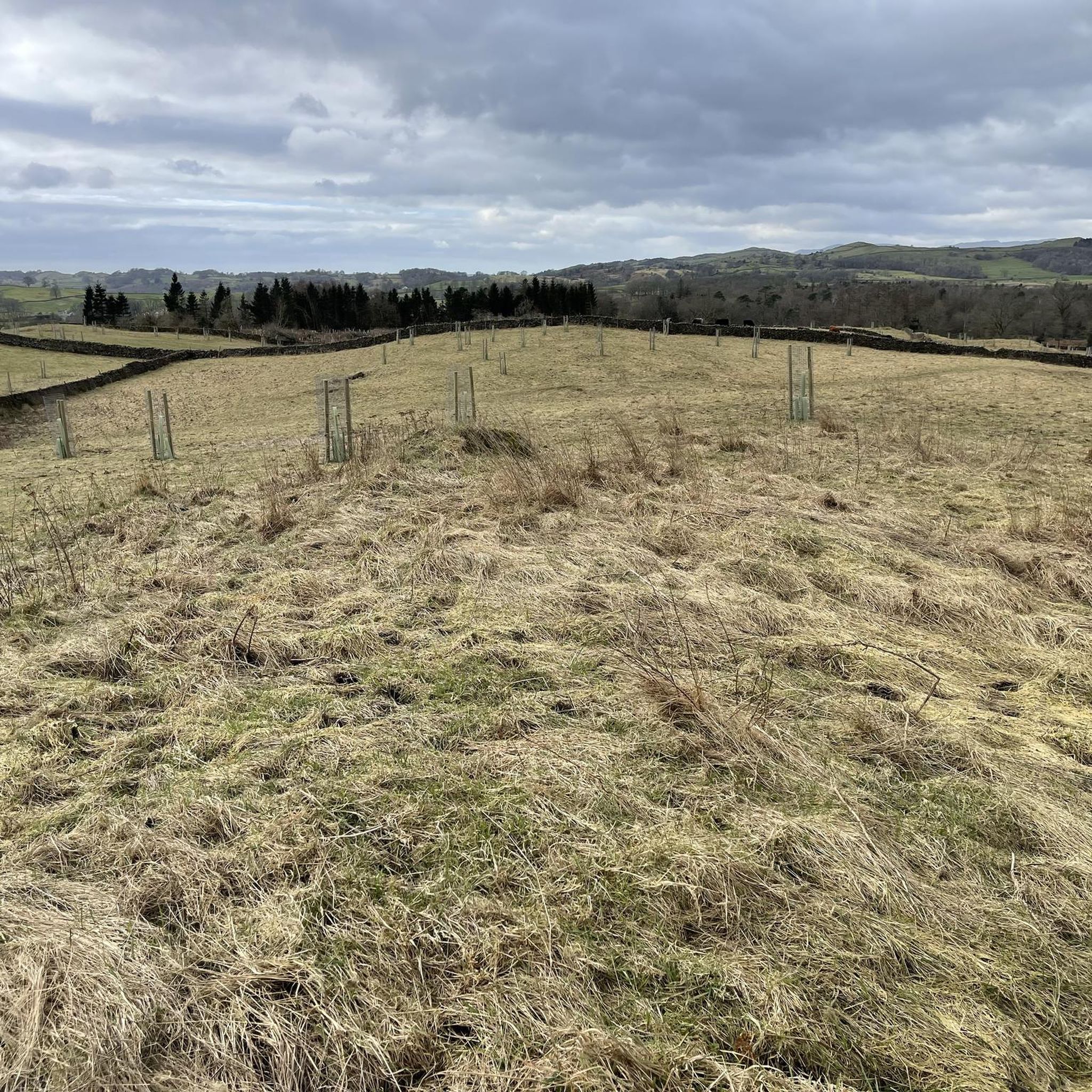
Managed by the Woodland Trust, Beckmickle Ing is a lovely woodland along the River Kent. It's easy to reach from nearby Staveley and can be linked to a number of great walks in the area. It's particularly delightful in spring, when the bluebells are at their best. Keep an eye out for the resident roe deer too.
1
0


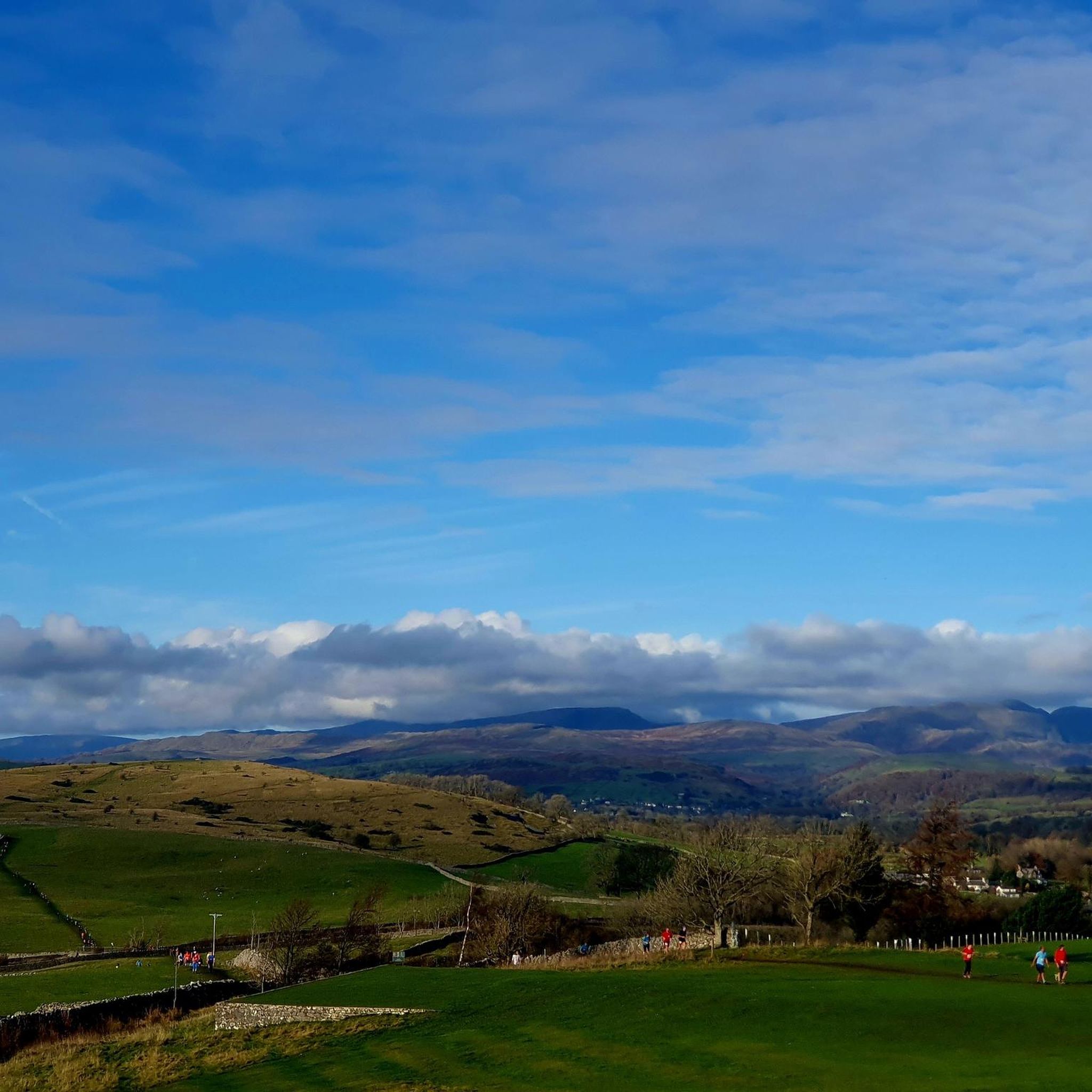
I’ve walked routes past here in all different weather over the years, it’s steep going up from the Bowston end but not too bad via the Longsleddale Road end. Going down from the tarn takes a winding route that either passes Craggy Woods or passes a small farm shop that links to footpaths down to Staveley.
2
0

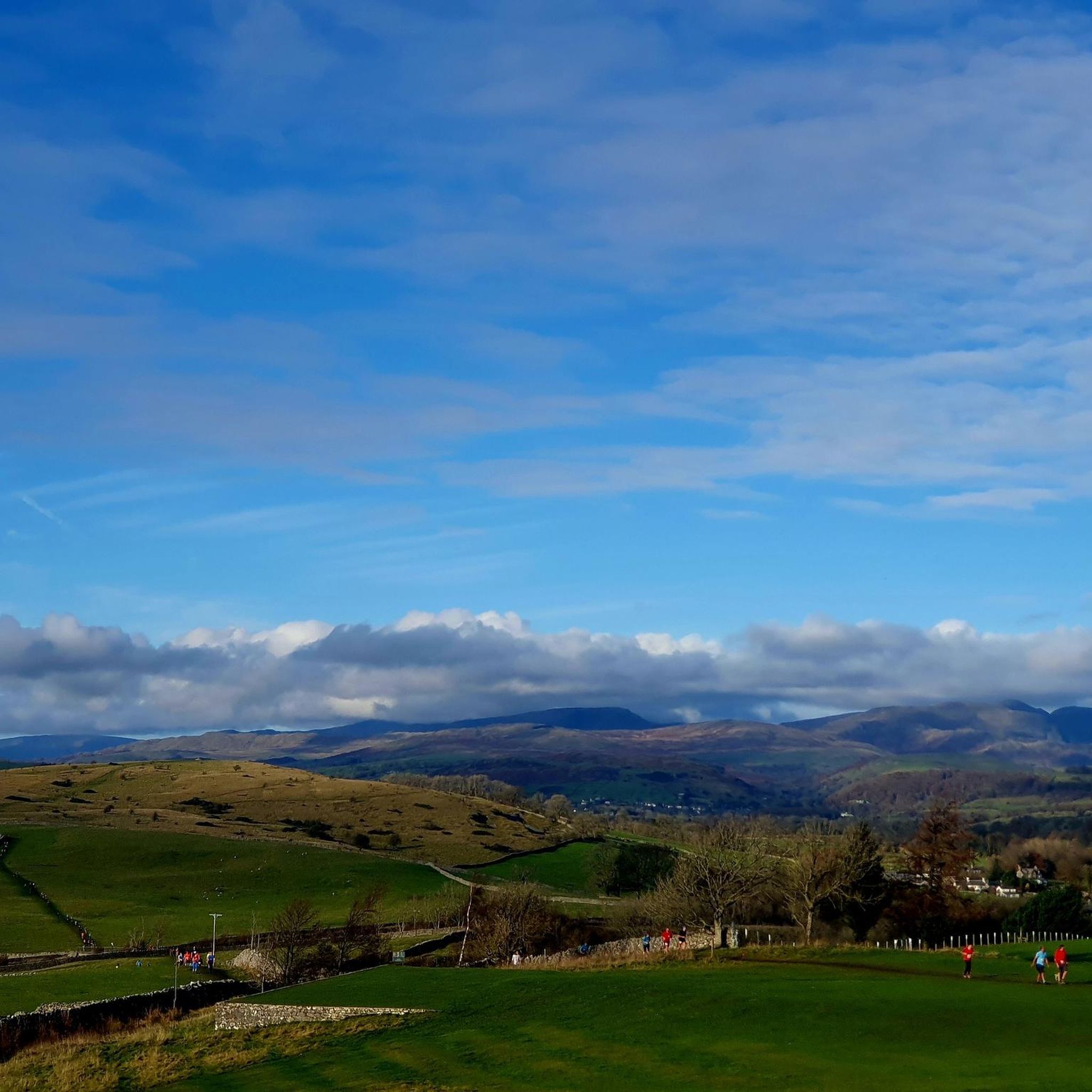
Don’t miss here for the best ice cream treat! Weds-Sun 12-6pm, with seasonal variations. Check website/facebook. You’ll be so disappointed if it’s closed.
0
0
Frequently Asked Questions
How many running routes are available around Strickland Ketel?
There are over 30 running routes around Strickland Ketel, offering a variety of distances and difficulty levels. You'll find options ranging from easy riverside jogs to more challenging trails with significant elevation changes.
What kind of terrain can I expect on the running trails in Strickland Ketel?
The terrain around Strickland Ketel is diverse, featuring river valleys, woodlands, and open fells. You can expect a mix of surfaces, including grassy paths, woodland trails, and some sections with limestone formations, particularly around Cunswick Scar. Routes often follow the River Kent and lead to scenic spots like Potter Tarn.
Are there any challenging running routes with significant elevation around Strickland Ketel?
Yes, for those seeking a challenge, routes like the Craggy Wood Steep Climb – Potter Tarn loop from Strickland Roger offer substantial elevation gain, with over 429 meters of climbing over 17.4 kilometers. The area around Cunswick Scar is also known for its undulating course across grassy terrain, providing an excellent environment for fell running.
What are some notable landmarks or viewpoints I can see while running near Strickland Ketel?
While running in the area, you can enjoy panoramic views from high points like Cunswick Scar, which offers vistas of Kentdale, the Lyth Valley, the distant Lakeland fells, and even Morecambe Bay. Other nearby viewpoints and natural features include Orrest Head, Brant Fell, and School Knott.
Are there any family-friendly running routes in Strickland Ketel?
While specific 'family-friendly' routes are not explicitly detailed, the area offers easier runs along the River Kent that could be suitable for families. Routes with gentle gradients and shorter distances, such as sections of the River Kent – Beckmickle Ing loop from Strickland Roger, might be good options.
Are the running trails around Strickland Ketel dog-friendly?
Many trails in the Lake District region, including those around Strickland Ketel, are generally dog-friendly. However, it's always advisable to keep dogs on a lead, especially near livestock or in nature conservation areas, and to follow the Countryside Code. Be mindful of stiles and ensure your dog is capable of the route's distance and terrain.
Are there circular running routes available?
Yes, many of the running paths around Strickland Ketel are designed as loops. For example, the River Kent – Beckmickle Ing loop from Strickland Roger and the Beckmickle Ings Wood – Potter Tarn loop from Strickland Roger are popular circular options, allowing you to start and finish in the same location.
What is the best time of year for running in Strickland Ketel?
The Lake District region, including Strickland Ketel, offers beautiful running conditions throughout much of the year. Spring and autumn provide pleasant temperatures and stunning scenery. Summer can be warm but is ideal for longer days. Winter running is possible but requires appropriate gear for potentially wet, muddy, or icy conditions, especially on higher fells.
Is there parking available for accessing the running routes?
While specific parking locations for every route are not detailed, Strickland Ketel is close to Kendal, which offers various parking facilities. Many trailheads in the wider Lake District area have designated parking, often small car parks or roadside lay-bys. It's recommended to check specific route details or local information for parking near your chosen starting point.
How accessible are the running trails by public transport?
Strickland Ketel is a rural parish bordering Kendal, which is well-connected by public transport. From Kendal, local bus services may provide access to areas closer to the trailheads. For routes starting further afield, such as those near Burneside, public transport options from Kendal would be the primary way to reach them.
What do other runners enjoy most about jogging in Strickland Ketel?
The running routes in Strickland Ketel are highly rated by the komoot community, with an average score of 4.8 stars from over 10 reviews. Runners often praise the varied terrain, the scenic riverside views along the River Kent, and the peaceful atmosphere of the woodlands and fells. The proximity to the Lake District National Park is also a significant draw.
Are there any easy running routes suitable for beginners?
Yes, there are easy running routes available. The area offers options for gentle runs, particularly along the River Kent, which feature more level ground and less challenging gradients. These routes are ideal for beginners or those looking for a relaxed jog.
Most popular routes around Strickland Ketel
Most popular attractions around Strickland Ketel

Get inspired with the komoot mobile app


Explore more
Browse the best Running Trails & Routes in other regions.
