Dunnerdale-With-Seathwaite
Dunnerdale-With-Seathwaite
The best running trails around Dunnerdale-With-Seathwaite
268
runners
20
runs
Jogging around Dunnerdale-With-Seathwaite offers diverse terrain within the Lake District National Park. The region is characterized by the Duddon Valley, quiet fells, and the winding River Duddon, providing a mix of valley floors, steep paths, and rocky sections. Extensive forested slopes and notable fells like Stickle Pike contribute to varied running routes. This landscape provides options for different fitness levels, from riverside paths to challenging mountain climbs.
Best jogging routes around Dunnerdale-With-Seathwaite
- The most popular jogging route is Stickle Tarn…
Last updated: October 8, 2026
66
runners
30.8km
05:07
1,820m
1,820m
Hard run. Very good fitness required. Sure-footedness, sturdy shoes and alpine experience required.
65
runners
30.2km
05:00
1,780m
1,780m
Hard run. Very good fitness required. Sure-footedness, sturdy shoes and alpine experience required.

31
runners
33.7km
05:44
1,920m
1,920m
Hard run. Very good fitness required. Sure-footedness, sturdy shoes and alpine experience required.
24
runners
14.7km
02:28
900m
900m
Hard run. Very good fitness required. Sure-footedness, sturdy shoes and alpine experience required.
15
runners
36.0km
05:14
1,720m
1,710m
Hard run. Very good fitness required. Sure-footedness, sturdy shoes and alpine experience required.
Get access to more routes and recommendations from other explorers.
Already have an account?
Our route recommendations are based on thousands of hikes, rides, and runs completed by other people on komoot.
Start today with a free account
Your next adventure awaits.
Popular around Dunnerdale-With-Seathwaite
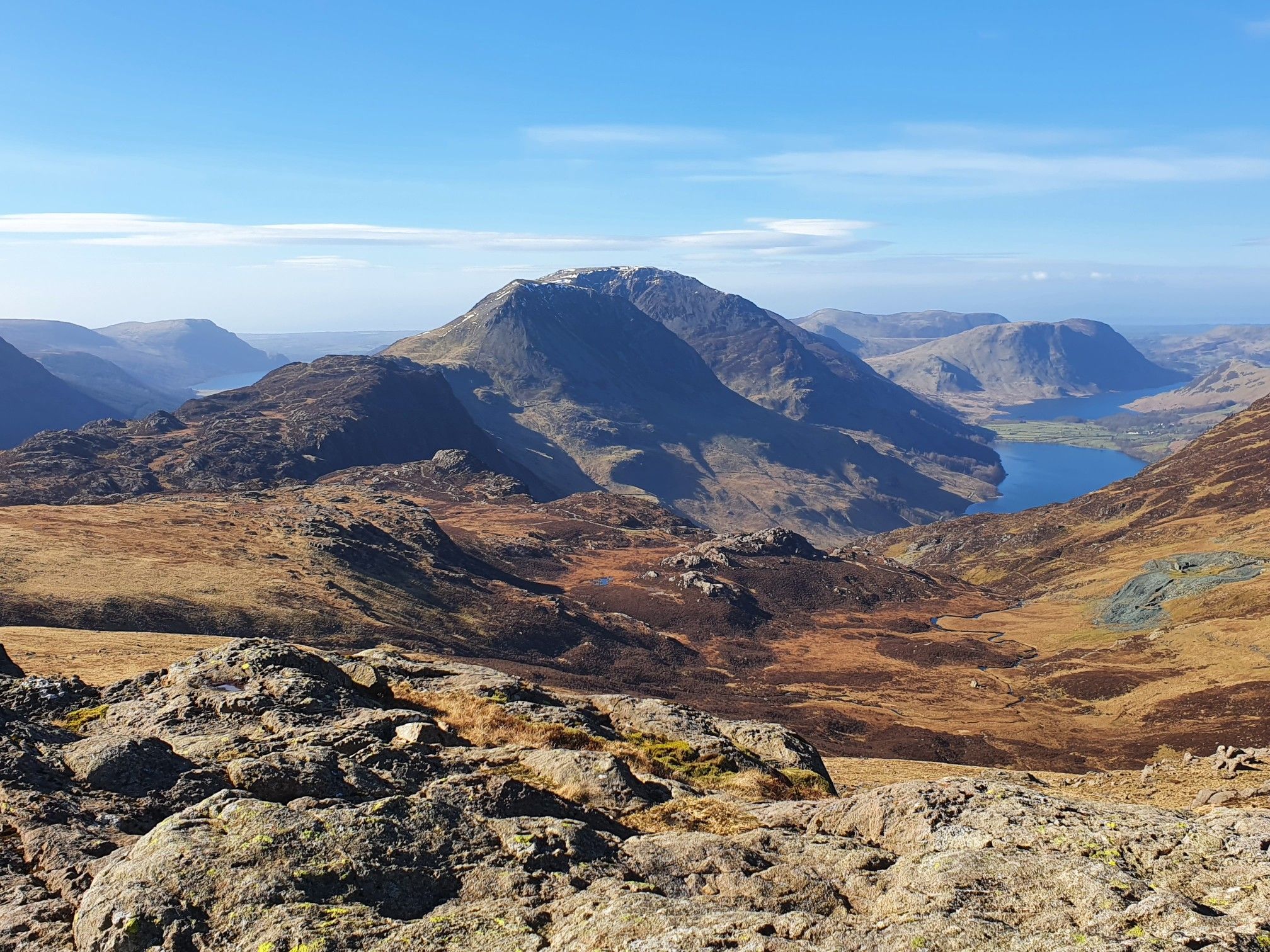
Cumbrian Traverse – A sublime high-level hike across Lakeland
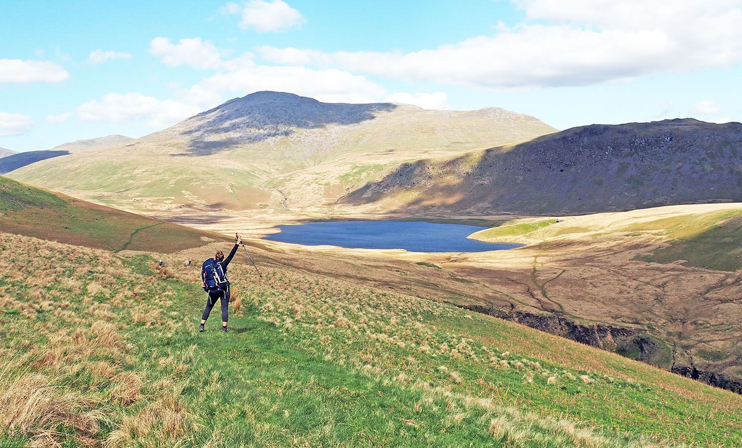
An English hiking dream – 8 days through the Lake District
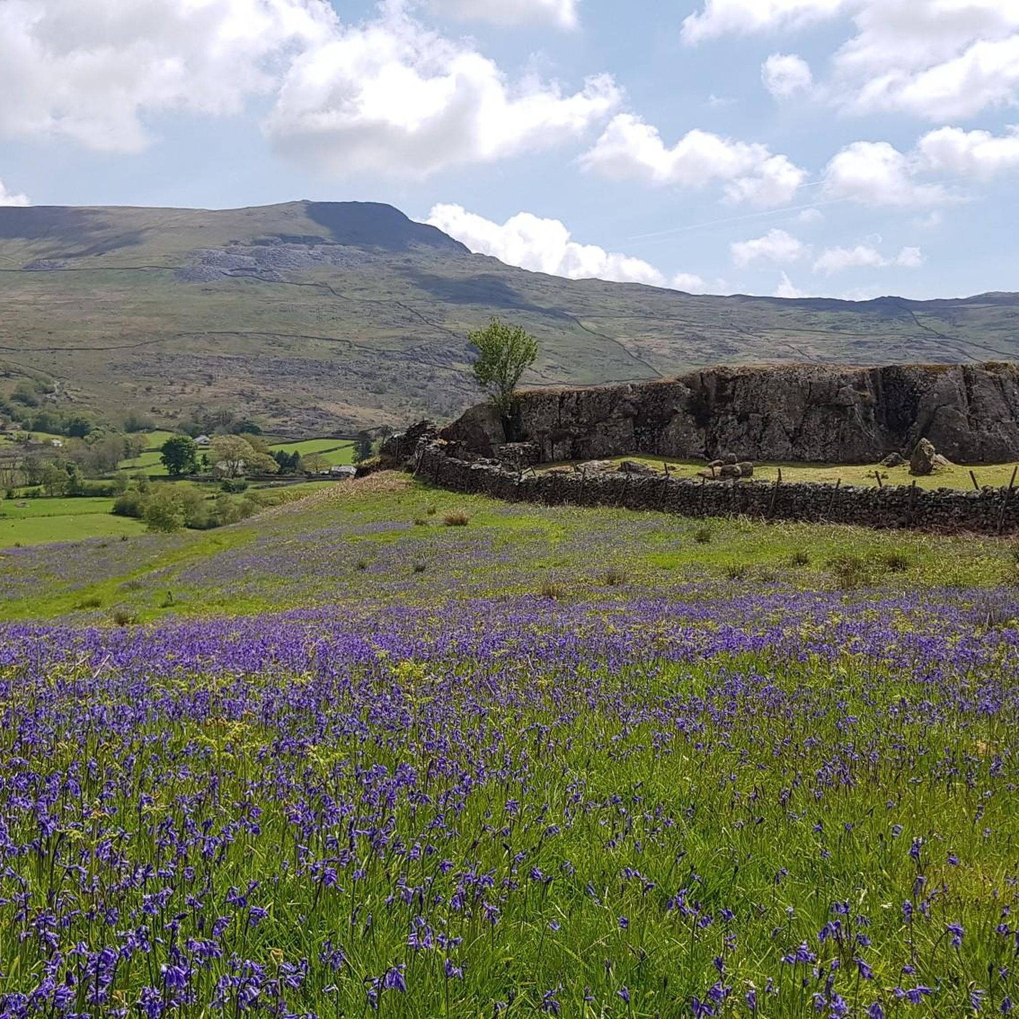
Hiking around Dunnerdale-With-Seathwaite

Gravel biking around Dunnerdale-With-Seathwaite
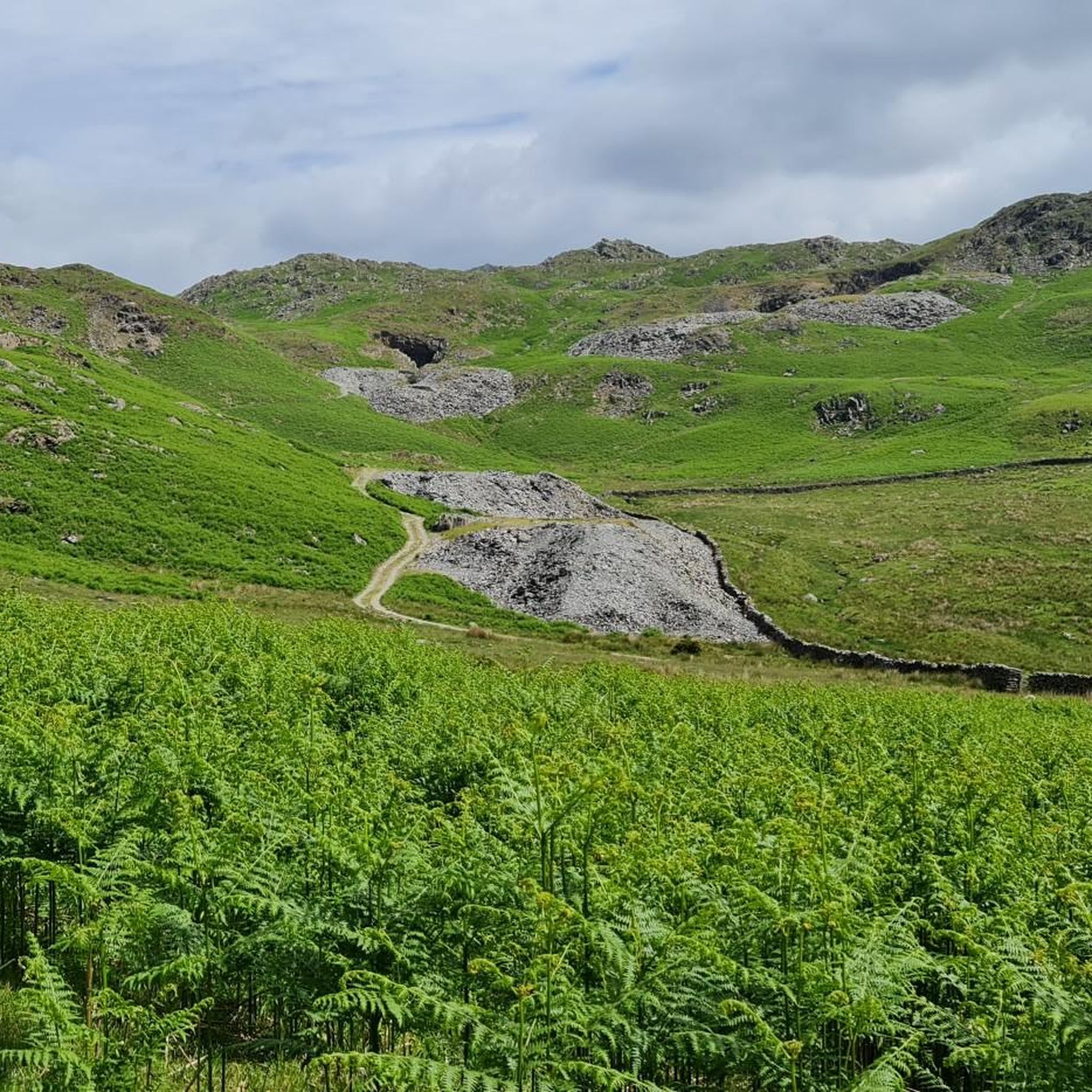
Road Cycling Routes around Dunnerdale-With-Seathwaite
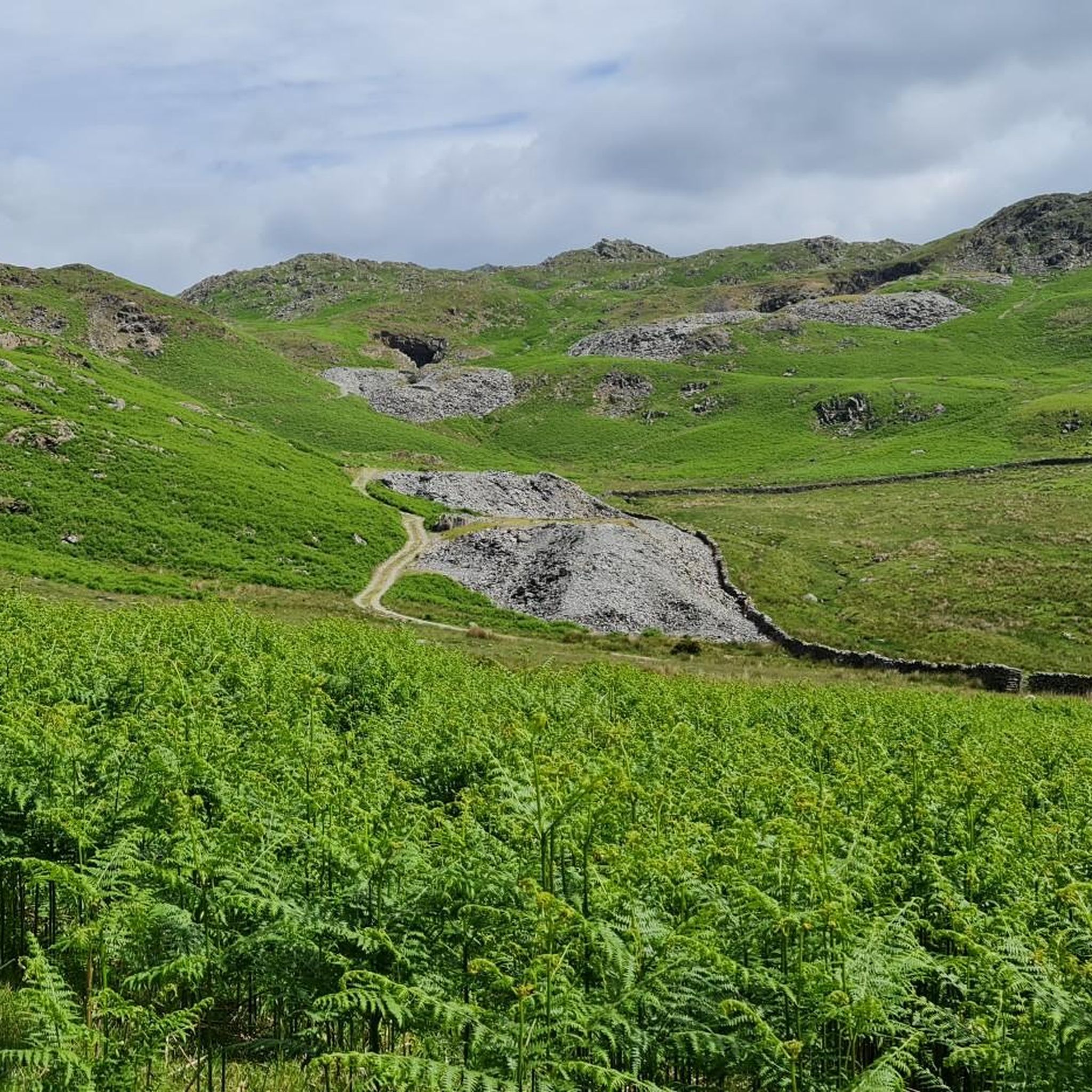
MTB Trails around Dunnerdale-With-Seathwaite
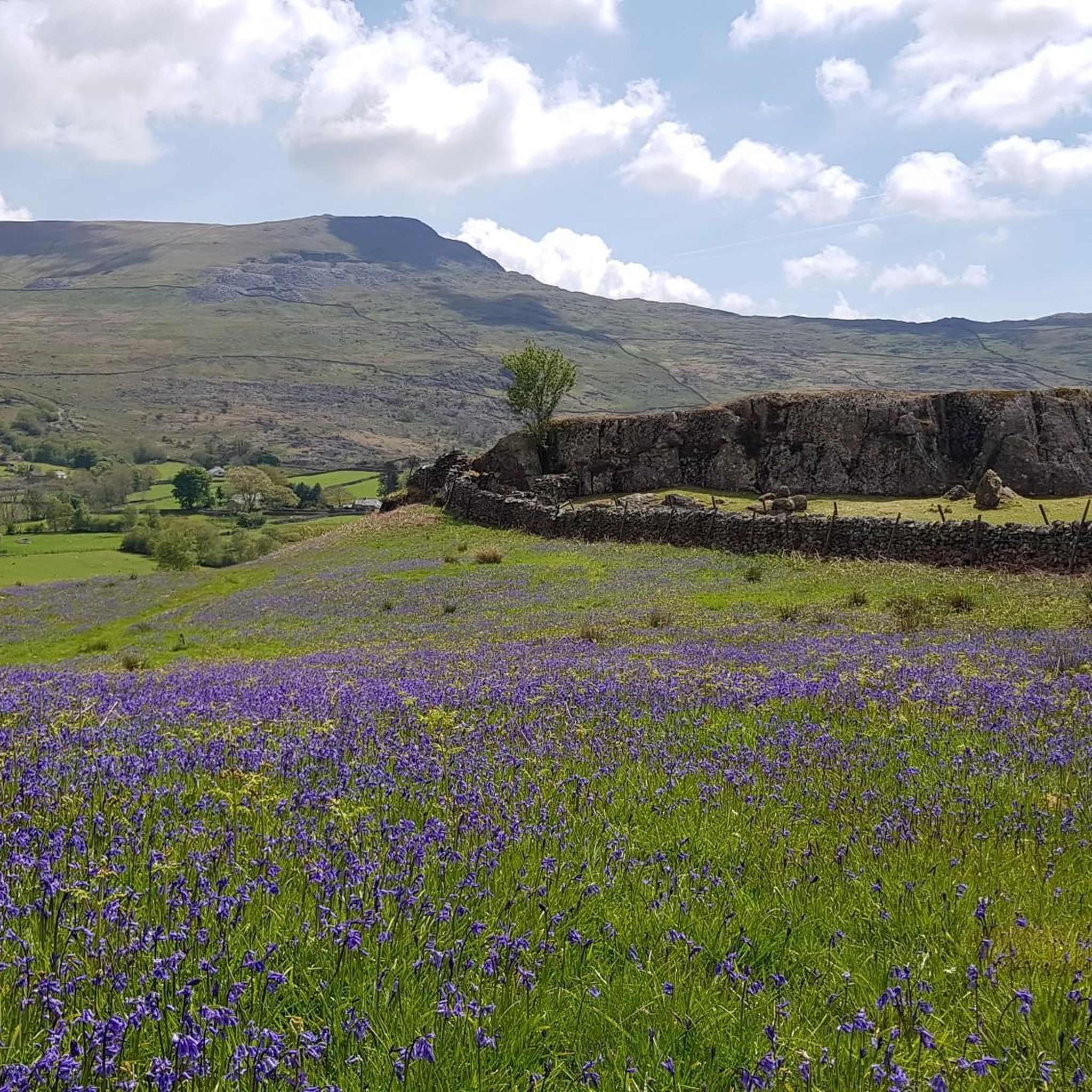
Cycling around Dunnerdale-With-Seathwaite
Mountain Hikes around Dunnerdale-With-Seathwaite
Other adventures around Dunnerdale-With-Seathwaite


Tips from the Community

Brim Fell connects Coniston Old Man with Swirl How, the two main fells of the Coniston group. Its disadvantage is that it is very close to the Old Man, only a short walk away.
6
0
A picturesque very old bridge over the river Brathay. This is one of the old footbridges of the Lake District, connecting the hamlet of Little Langdale with the many slate quarries in the Tilberthwaite area, including Cathedral Quarry and Hodge Close Quarry. (Visit Cumbria)
10
0

Cold Pike is off the beaten track a little bit. It sits in between and just south of Pike of Blisco and Great Knott. The paths here are a little more indistinct, but this is still a 701-metre (2,300 ft) top, and as such, it is a designated Nuttall and Wainwright. It has a knobbly, rocky summit with a petite and finely perched cairn on it. It has fine panoramic views all the way round, but in particular towards Crinkle Crags, Bowfell and across towards the Langdale Pikes.
0
0
Beautiful view of Langdale Valley, enjoy it.
7
0
Coming to Swirl How from Great Carr is an easy affair; getting to it from Wetherlam is a different matter. If you come in from that direction, you are in for a good scramble on the 'Prison Band' section of the approach. To be honest, I would rather come up it than down it, as it looked like a fun scramble. There is a decent cairn on the top of Swirl How, and the views across to Wetherlam are great.
0
0
Grey Friar, at 770 metres (2,526 feet), is a Wainwright and a Nuttall. It sits a bit off the beaten path, north west of the main Coniston group. It is a lovely fell to get to, though, quite an easy climb too. From the top you have great views of the back end of the main Coniston fells, and there are two quirky cairns on two rocky outcrops on the wide plateau on the summit.
0
0
Even though it is a 796-metre (2,612 ft) peak, Brim Fell is one of the easiest Wainwright tops to get to in the Lake District. It is on an easy undulating ridgeline, and the hard work has been done before you get here. It has a super cool stone cairn at the summit.
0
0
Dow Crag is a pretty impressive hunk of rock. At 778 metres it has impressive cliffs plunging down towards Goat's Water. You will have a short scramble to the summit, but the views are truly great on a sky-blue day towards the Old Man of Coniston and back towards Buck Pike.
0
0
Frequently Asked Questions
How many running routes are available in Dunnerdale-With-Seathwaite?
There are over 20 running routes around Dunnerdale-With-Seathwaite, offering a wide range of experiences for joggers. These trails vary in difficulty and length, catering to different fitness levels.
What kind of terrain can I expect on jogging trails in Dunnerdale-With-Seathwaite?
The region offers a diverse range of terrain, from relatively flat riverside paths along the River Duddon to challenging ascents on fells like Stickle Pike. You'll encounter a mix of valley floors, steep winding paths, rocky sections, and even some marshy areas, providing a varied and engaging experience.
Are there any easy jogging routes suitable for beginners or a more relaxed run?
While many routes in the area are challenging, you can find gentler options, particularly along the valley floors. For example, the Duddon River Stone Bridge loop from Hall Dunnerdale (mentioned in region research) offers a more relaxed experience. Look for routes described as having less elevation gain for an easier run.
What are some notable natural features or landmarks I might see while running in Dunnerdale-With-Seathwaite?
Joggers can enjoy stunning natural features such as the picturesque Duddon Valley and the tranquil Seathwaite Tarn, which reflects the surrounding crags. You might also encounter historic bridges like Birks Bridge or Ulpha Bridge. For specific points of interest, consider routes that pass by highlights like Old Man of Coniston summit or Loughrigg Fell summit for panoramic views.
Are there any running routes that feature waterfalls?
Yes, the broader area around Dunnerdale-With-Seathwaite is home to several beautiful waterfalls. While running, you might find routes that pass near or offer views of cascades like Skelwith Force or Tom Ghyll Waterfalls. These add a refreshing element to your run.
What do other runners enjoy most about jogging in Dunnerdale-With-Seathwaite?
The area is highly rated by the komoot community, with an average score of 5.0 stars. Runners often praise the unspoiled natural beauty, the sheer variety of terrain from gentle riverside paths to demanding mountain climbs, and the extensive network of trails that allow for exploration amid stunning Lakeland scenery.
Are there any long-distance or challenging running trails for experienced runners?
Absolutely. For experienced runners seeking a significant challenge, routes like the Swirl How Summit – Great Gully to Buck Pike loop from Wrynose Pass offer substantial elevation gain over 19.6 miles (31.6 km), connecting multiple high peaks. Another demanding option is the Stickle Tarn – High Raise Summit Cairn loop from Hard Knott, which covers over 20 miles (32.8 km) through fells and high peaks.
Can I find circular jogging routes in the area?
Yes, many of the running routes in Dunnerdale-With-Seathwaite are circular, allowing you to start and finish at the same point. A popular example is the Stickle Tarn – The Knott loop from Ulpha, which provides a challenging 4.6-mile (7.4 km) circular trail with great views across the Duddon Valley.
Is Dunnerdale-With-Seathwaite suitable for dog-friendly running?
Many trails in the Lake District National Park are dog-friendly, and Dunnerdale-With-Seathwaite is no exception. However, it's always recommended to keep dogs on a lead, especially near livestock or in sensitive wildlife areas. Be mindful of varied terrain and potential rocky sections that might be challenging for some dogs.
Are there any routes that offer views of Hardknott Pass?
Yes, Hardknott Pass, known for its steep ascents and breathtaking views, can be incorporated into longer, more challenging runs. Routes originating near Hard Knott, such as the Stickle Tarn – High Raise Summit Cairn loop from Hard Knott, will offer panoramic vistas of the surrounding fells and valleys, including glimpses of the iconic pass.
What is the best time of year for jogging in Dunnerdale-With-Seathwaite?
Spring and autumn generally offer the most pleasant conditions for jogging, with cooler temperatures and beautiful scenery. Summer can be warm, but also provides longer daylight hours. Winter running is possible but requires appropriate gear due to potentially cold, wet, or icy conditions, especially on higher fells.
Are there any cafes or amenities near the jogging routes?
While Dunnerdale-With-Seathwaite is a quieter part of the Lake District, you can find amenities in nearby villages. It's advisable to plan your route to pass through or near these spots if you require refreshments or facilities. Always carry sufficient water and snacks, especially on longer or more remote runs.
Most popular routes around Dunnerdale-With-Seathwaite
Most popular attractions around Dunnerdale-With-Seathwaite

Get inspired with the komoot mobile app


Explore more
Browse the best Running Trails & Routes in other regions.
