The best walks and hikes around Soulby
4.4
(345)
2,232
hikers
151
hikes
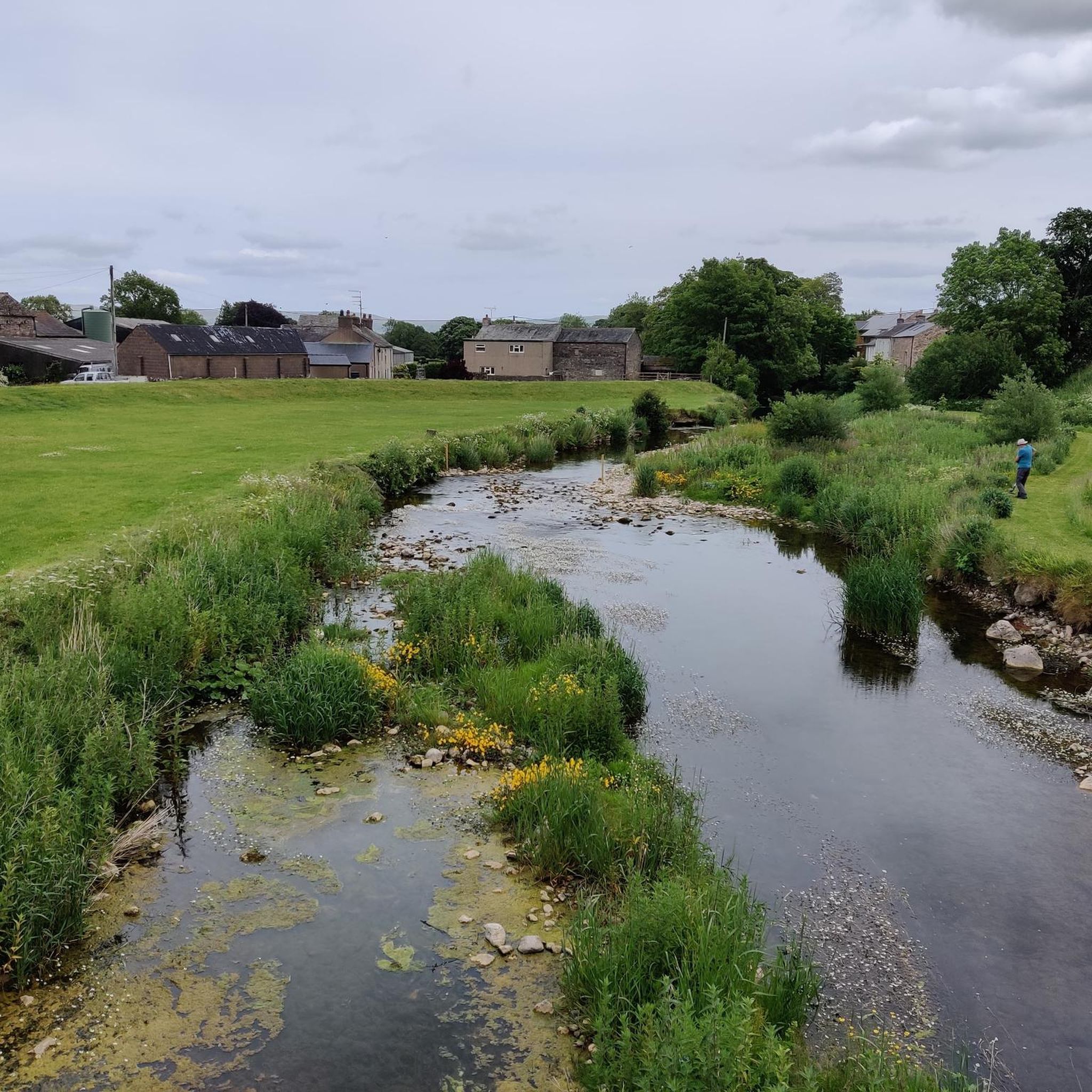
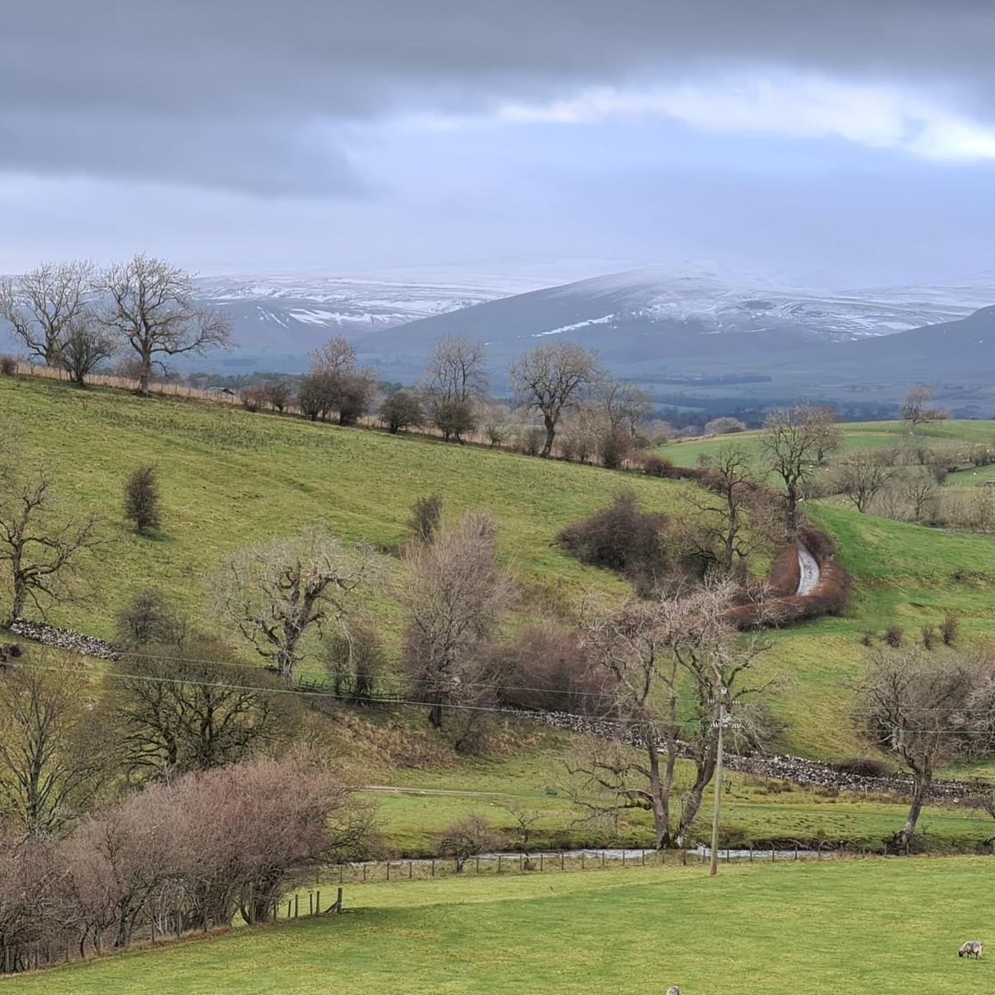
Hikes around Soulby are set within Cumbria's Eden Valley, a landscape of rolling hills and verdant pastures. The region is situated between the North Pennines and the Howgill Fells, with some routes extending into the Yorkshire Dales National Park. The terrain offers a mix of riverside paths along the River Eden and more challenging fell walks.
Best hiking trails around Soulby
- The most popular hiking route is Smardale Gill Viaduct – Smardale Bridge loop from Waitby, a 4.6 mile (7.4 km) trail that takes 1 hour 58 minutes to complete. This easy route follows a former railway line and crosses the notable Smardale Gill Viaduct.
- Another top favourite among local hiking enthusiasts is River Eden – Frank's Bridge, Kirkby Stephen loop from Kirkby Stephen, a moderate 5.6 mile (9.0 km) path. The route follows the River Eden and passes Frank's Bridge, a well-known local landmark.
- Local hiking enthusiasts also love the Waitby Intake and Wharton Hall loop from Kirkby Stephen — Yorkshire Dales National Park, a 7.0 mile (11.2 km) trail leading through the Yorkshire Dales National Park, often completed in about 3 hours 1 minute.
- Hiking around Soulby is defined by riverside paths, rolling fells, and historic viaducts. The network of trails provides options for different ability levels, from gentle valley walks to more demanding routes in the surrounding hills.
- The routes in Soulby are highly rated by the komoot community with an average score of 4.5 stars from over 270 reviews. More than 1,900 hikers have used komoot to explore Soulby's varied terrain.
Last updated: October 11, 2026
4.7
(9)
21
hikers
Moderate hike. Good fitness required. Easily-accessible paths. Suitable for all skill levels.
4.3
(3)
10
hikers
16.3km
04:34
340m
340m
Hike the 10.1-mile Nettle Hill and Smardale Gill Viaduct loop, a moderate route with 1103 feet of gain, taking about 4 hours and 34 minutes.

Hard hike. Very good fitness required. Mostly accessible paths. Sure-footedness required.
5.0
(3)
44
hikers
Easy hike. Great for any fitness level. Easily-accessible paths. Suitable for all skill levels.
5.0
(4)
42
hikers
9.84km
02:38
110m
110m
Moderate hike. Good fitness required. Easily-accessible paths. Suitable for all skill levels.
Get access to more routes and recommendations from other explorers.
Already have an account?
Our route recommendations are based on thousands of hikes, rides, and runs completed by other people on komoot.
Start today with a free account
Your next adventure awaits.
Tips from the Community


Frank's Bridge at Kirkby Stephen along the Coast To Coast route.
0
1
This limestone area is worth a visit.Could be slippy if wet.
0
0

This very impressive viaduct, built in 1861, used to be a part of the South Durham and Lancashire Union Railway. It carried coal and coke across the Pennines (apparently over 1 million tons of coke per day!) The line closed in 1962. The viaduct's restoration was completed in 1992. It is a very impressive place to be these days; the blending of human engineering with the dramatic landscape here is very striking. The Viaduct can be run on, so no need to stay at the bottom - it's the best way to appreciate the awesome views of the valley, and it's a fantastic run!
1
1
This was a fortified house, built around 1415 by the Wharton family. The family extended the property in the mid-16th century. A deer park was established, requiring the relocation of an entire village nearby. This is a Grade-I protected building these days, as well as a scheduled monument. Appreciate from the outside: this is a private property (the north and west side of it is used nowadays as a farm; the rest is ruins).
1
0
This structure allows easy crossing the railway line - underneath it. Additionally, in this spot (just to the east of the crossing), which is called Waitby Intake, there were two Romano-British settlements: look on the ground for what seems at first just rocks in the ground, which are in fact remains of the settlement.
2
0
The Millennium Bridge was completed in 2002. It is 65 feet long and 42 feet above the raging River Eden below. It's a spectacular spot.
1
0
Frequently Asked Questions
Are there many circular walks starting near Soulby?
Yes, the area around Soulby is excellent for circular hikes. You'll find a wide variety of loops that bring you back to your starting point without retracing your steps. These range from gentle valley strolls to more demanding fell walks in the Howgills or nearby Yorkshire Dales National Park. Many routes are designed to take in key landmarks like historic viaducts and riverside paths.
Can you recommend any family-friendly or easy walks in the area?
The Eden Valley offers many gentle walks perfect for families. Look for routes along the River Eden, particularly around the well-known Frank's Bridge in Kirkby Stephen, which is a lovely spot for a picnic. Another great option is Stenkrith Park, where a dramatic river gorge provides an exciting but manageable walk for children. For more ideas, the Visit Upper Eden website has a dedicated section for children's activities.
Are dogs allowed on the hiking trails around Soulby?
Most trails in the countryside around Soulby are welcoming to dogs. However, you will be walking through farmland with livestock, so it's essential to keep your dog on a lead, especially during lambing season (typically spring). Some nature reserves, like Smardale Gill, also require dogs to be kept on leads to protect wildlife. Always look for local signage for specific rules.
What are some notable landmarks or points of interest to see on a hike?
The region is rich with natural and historical sites. The Smardale Gill Viaduct is a magnificent Victorian structure within a nature reserve. Wharton Hall offers a glimpse into the area's history with its 15th-century ruins. For a unique cultural experience, you can follow the Poetry Path, which features stones inscribed with poems about the life of a hill farmer.
How do I get to the trailheads using public transport?
The nearest town with good public transport links is Kirkby Stephen, which is on the famous Settle-Carlisle railway line. Many walks can be started directly from the town. Local bus services connect Kirkby Stephen to other villages in the Eden Valley, but services can be infrequent, so it's best to check timetables in advance. Kirkby Stephen's status as a 'Walkers are Welcome' town means it's well-equipped for visitors arriving without a car.
Where is the best place to park for the Smardale Gill Nature Reserve walk?
There is a designated car park for the reserve located at Smardale. You can find it by searching for Smardale Gill Nature Reserve Parking (postcode CA17 4HF). Be aware that it is at the end of a very narrow single-track lane with limited passing places, so driving requires caution.
What is the terrain like on the trails around Soulby?
The terrain is quite varied. You can expect gentle, well-trodden paths along the River Eden and through the Smardale Gill Nature Reserve, which follows an old railway line. For more of a challenge, the routes heading into the Howgill Fells or the Yorkshire Dales National Park involve steeper ascents on open, grassy hills with panoramic views. Footwear with good grip is recommended for all but the easiest valley walks.
Are there any long, challenging hikes for experienced walkers?
Yes, the area is a great base for challenging hikes. You can tackle ascents to local peaks like Wild Boar Fell or Nine Standards Rigg. For a full day on the fells, the Nettle Hill and Great Asby Scar loop from Crosby Garrett is a demanding 23.5 km route that takes you into the Yorkshire Dales National Park. The region is also crossed by long-distance paths like Wainwright's Coast to Coast trail, offering options for multi-day treks.
How many hiking trails are available around Soulby?
There are over 150 hiking routes to explore in the Soulby area. The selection is well-balanced, with over 50 easy trails for relaxed days out, around 80 moderate routes for the average hiker, and a handful of difficult trails for those seeking a serious challenge on the fells.
What do other hikers think of the trails in this region?
The trails around Soulby are highly regarded by the komoot community, with an average rating of 4.5 out of 5 stars. Hikers often praise the stunning scenery of the Eden Valley, the mix of gentle riverside paths and challenging fell walks, and the impressive historical features like the Smardale Gill Viaduct.
Can you suggest a moderate hike that explores the Yorkshire Dales National Park?
A great option is the Nettle Hill and Smardale Gill Viaduct loop from Crosby Garrett. This 16 km circular route offers a good mix of scenery, including views from Nettle Hill and a walk through the Smardale Gill Nature Reserve, giving you a fantastic taste of the National Park's landscape.
Most popular routes around Soulby
Most popular attractions around Soulby

Get inspired with the komoot mobile app


Explore more
Browse the best Hikes in other regions.
