The best road cycling routes around Shap
4.5
(7)
164
riders
19
rides
Road cycling routes around Shap traverse a landscape characterized by challenging terrain, well-paved surfaces, and varied elevation in Cumbria, England. The area features the notable Shap Summit, a long and steady climb reaching approximately 1,400 feet. Routes often pass through open moorland, green farmland, and offer access to the Far Eastern Fells and the Eden Valley. This region provides a mix of demanding ascents and scenic loops for road cyclists.
Best road cycling routes around Shap
- The most popular road…
Last updated: October 11, 2026
5.0
(1)
29
riders
32.8km
01:47
420m
420m
Moderate road ride. Good fitness required. Mostly well-paved surfaces and easy to ride.
22
riders
39.0km
01:49
420m
420m
Moderate road ride. Good fitness required. Mostly well-paved surfaces and easy to ride.

15
riders
24.5km
01:12
280m
280m
Easy road ride. Great for any fitness level. Mostly well-paved surfaces and easy to ride.
4.0
(1)
12
riders
20.7km
01:00
230m
230m
Easy road ride. Great for any fitness level. Mostly well-paved surfaces and easy to ride.
4.0
(1)
11
riders
41.5km
02:10
590m
590m
Moderate road ride. Good fitness required. Mostly well-paved surfaces and easy to ride.
Get access to more routes and recommendations from other explorers.
Already have an account?
Our route recommendations are based on thousands of hikes, rides, and runs completed by other people on komoot.
Start today with a free account
Your next adventure awaits.

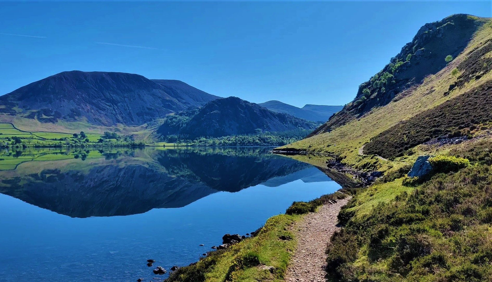
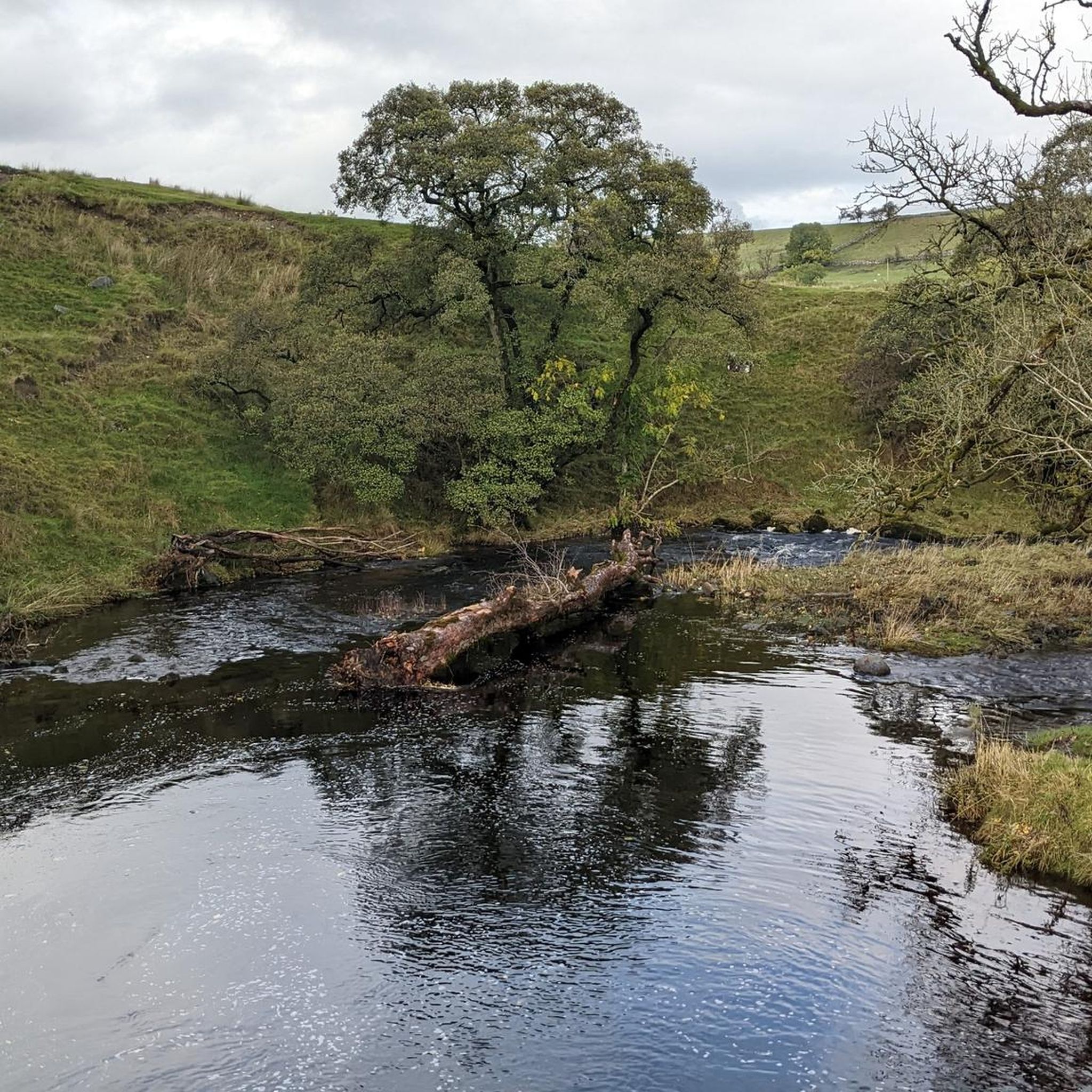


Tips from the Community


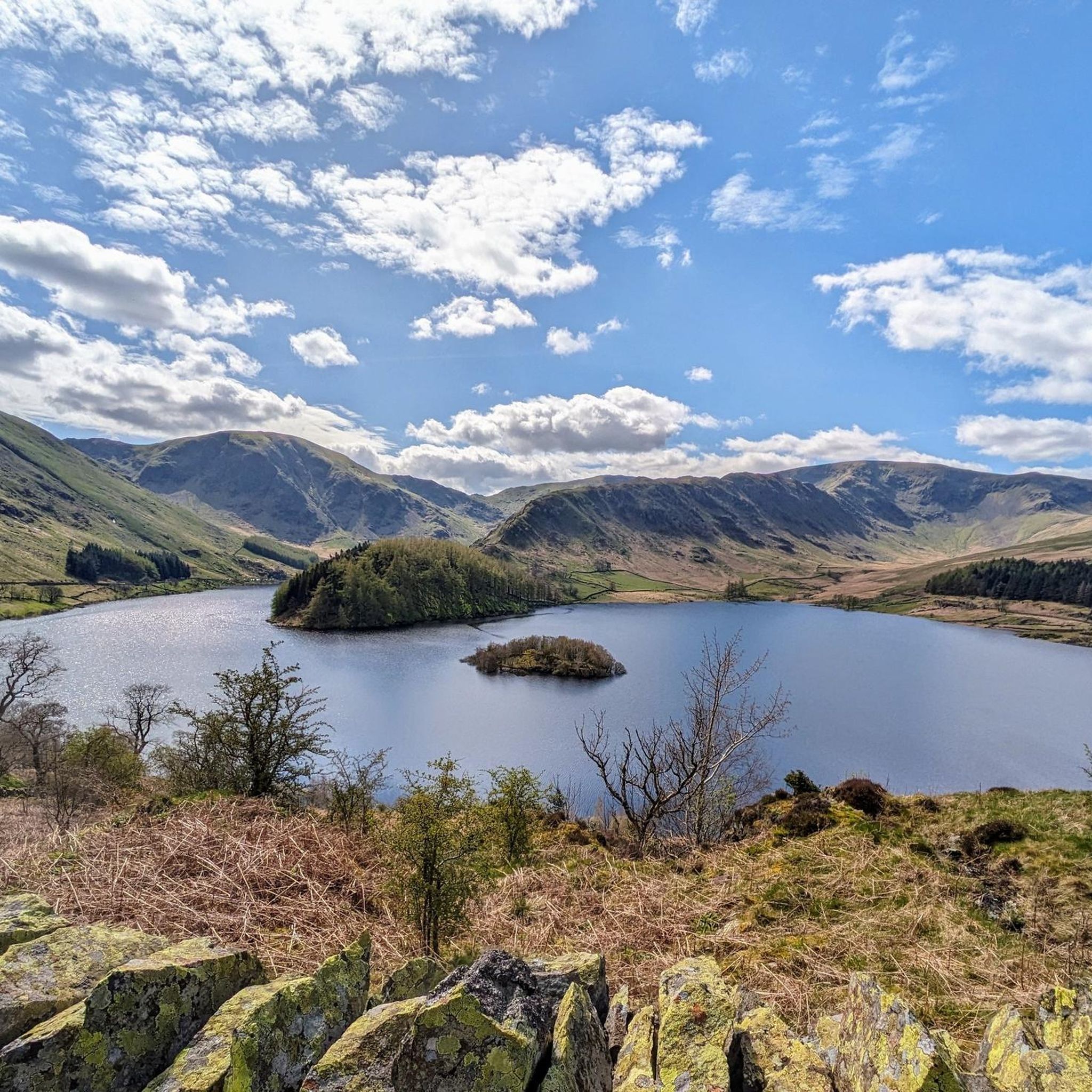
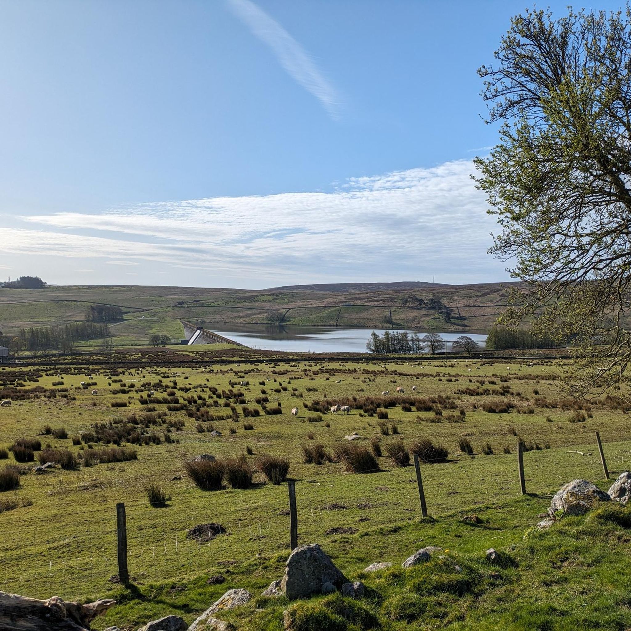
This is the view of Rough Crag on the way up to High Street. A classic Lake District ridge. Its rugged spine rises sharply above Haweswater.
0
0
Conservation is a big part of the area. RSPB and United Waters have joined forces to offers a good habitat to peregrine falcons, redstarts, and ring ouzels as a few examples of the bird-species and ensuring that the forest offers a good nesting and foraging ground for red squirrels. A donation cairn, to support the RSPB’s work at Wild Haweswater, is situated in the car park. They suggest a donation of £2, but any amount large or small is gratefully received. Please note that only cash donations can be made in the cairn as the lack of mobile phone reception means they are unable to take card payments. However, if you wish to send an online donation to support their work, you can do so here. There is also a Mountain Rescue cairn in the car park, you are kindly encourage you to support their life-saving work if you feel able to.
0
0

A good way to get up to the A6 but surface is poor in places, take care!
0
1


I really enjoyed the Haweswater reservoir loop. Especially picturesque from South to the North (left) side of the water is very nice. It is quite a big walk (10mi - 16 km) depending on your fitness. The other side is partially on road but traffic is not bad on that stretch as it is a dead end.
0
0

This tarn and, in fact, the surrounding area, is a Site of Special Scientific Interest (SSSI): this is largely because of the limestone areas that surround it. The tarn is a marl lake, with lots of ferns around it. A beautiful place with a rugged feel to the area.
1
0
Frequently Asked Questions
How many road cycling routes are available around Shap?
Shap offers a diverse network of over 20 road cycling routes. These routes cater to various fitness levels, with 5 easy, 13 moderate, and 3 difficult options available for exploration.
What kind of terrain can I expect on road cycling routes near Shap?
Road cycling routes around Shap feature mostly well-paved surfaces, traversing a landscape of challenging climbs, open moorland, and picturesque green farmland. You'll encounter varied elevation, including notable ascents like Shap Summit, and pass through areas like the Eden Valley and the perimeter of the Far Eastern Fells.
Are there any challenging climbs for experienced road cyclists in Shap?
Yes, Shap is known for its demanding climbs. The iconic Shap Summit, reaching approximately 1,400 feet, offers a long and steady ascent. For a significant challenge, consider the Great Dun Fell Radar Station – Great Dun Fell Climb loop from Shap, which features over 1,100 meters of elevation gain and requires very good fitness.
Can I find easier road cycling routes suitable for beginners or a relaxed ride?
Absolutely. Shap offers several easier routes perfect for beginners or those seeking a more relaxed ride. An excellent option is the Naddle Bridge – Flat Approach to Shap loop from Shap, an easy 20.7 km trail that leads through local roads and farmland, suitable for any fitness level.
Which road cycling routes offer the best scenic views around Shap?
Many routes provide stunning views of the Cumbrian landscape. Routes that incorporate views of Ullswater and Haweswater, or traverse the open moorland and fells, are particularly scenic. The Haweswater Dam – Mardale Head loop from Shap offers beautiful vistas of the reservoir and surrounding fells.
What natural features or landmarks can I see while road cycling near Shap?
You can encounter a variety of natural and historical features. Routes often pass through the scenic Eden Valley, offering glimpses of ancient megalithic sites. You might also see stunning lakes like Haweswater Reservoir (Haweswater Reservoir) and the dramatic fells. The descent into Longsleddale, famously inspiring 'Postman Pat's Greendale', is also a highlight on some routes.
Are there any historical sites accessible by road bike around Shap?
Yes, Shap is rich in history. The area is near the center of the Eden Valley, known for its megalithic monuments. While much of the original Shap Stone Avenue is destroyed, surviving elements and other sites like The Cockpit Stone Circle provide cultural interest amidst the natural landscape.
Are there any circular road cycling routes available from Shap?
Many of the road cycling routes around Shap are designed as loops, allowing you to start and finish in the same location. Examples include the Fab's Fabulous Milk – Chippy Chippy loop from Shap and the Maulds Meaburn Climb – View of Sunbiggin Tarn loop from Shap, both offering varied scenery and challenges.
When is the best time of year for road cycling in Shap?
The best time for road cycling in Shap is generally from late spring to early autumn, roughly May to September. During these months, the weather is typically more favorable, and you can enjoy amenities like England's highest open-air heated swimming pool, which operates seasonally.
What do other road cyclists enjoy most about road cycling in Shap?
The road cycling experience in Shap is highly rated by the komoot community, with an average score of 4.6 stars. Cyclists often praise the challenging yet rewarding climbs, the well-paved surfaces, and the stunning, varied landscapes that range from open moorland to green farmland and dramatic fells.
Are there any routes that pass by lakes or reservoirs?
Yes, several routes offer views of or access to stunning bodies of water. The Haweswater Dam – Mardale Head loop from Shap is a prime example, taking you past Haweswater Reservoir (Haweswater Reservoir) and its impressive dam (Haweswater Dam), offering dramatic waterscapes.
Most popular attractions around Shap

Get inspired with the komoot mobile app


Explore more
Browse the best Road cycling routes in other regions.
