The best running trails around Ravenstonedale
4.5
(6)
854
runners
23
runs
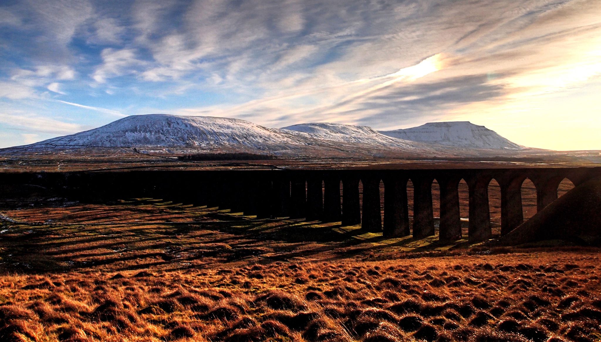
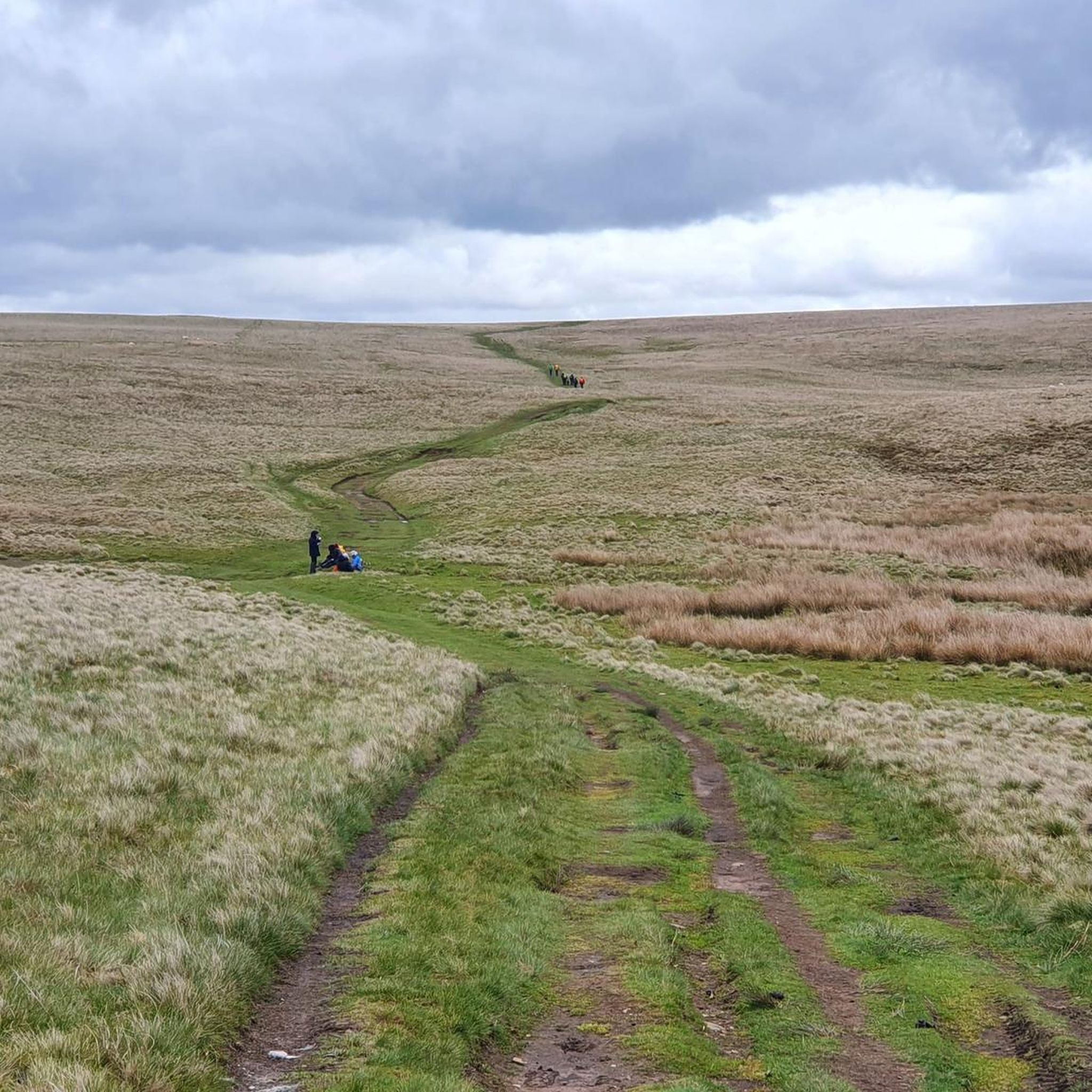
Jogging around Ravenstonedale offers diverse landscapes for outdoor activity. The region is characterized by the green, flat-topped Howgill Fells, tranquil valleys like Bowderdale, and the picturesque Eden Valley. Runners can explore unique geological formations such as the limestone pavements of Orton Scar and Great Asby Scar, or follow paths through the secluded Smardale Nature Reserve. This varied terrain provides a range of running experiences from gentle valley routes to more challenging fell climbs.
Best jogging routes around Ravenstonedale
- The most…
Last updated: June 24, 2026
46
runners
9.74km
01:01
110m
110m
Moderate run. Good fitness required. Mostly paved surfaces. Suitable for all skill levels.
22
runners
Hard run. Very good fitness required. Mostly paved surfaces. Suitable for all skill levels.

Sign up for free
21
runners
9.58km
01:01
100m
100m
Moderate run. Good fitness required. Mostly paved surfaces. Suitable for all skill levels.
16
runners
19.5km
02:35
540m
540m
Hard run. Very good fitness required. Mostly paved surfaces. Suitable for all skill levels.
8
runners
Moderate run. Good fitness required. Mostly paved surfaces. Suitable for all skill levels.
Get access to more routes and recommendations from other explorers.
Sign up for free
Already have an account?
Our route recommendations are based on thousands of hikes, rides, and runs completed by other people on komoot.
Start today with a free account
Your next adventure awaits.
Login or Signup

Other adventures around Ravenstonedale

Tips from the Community


Nearby to the true summit is a quaint trig pointed marker with some seating.
1
0
This is a lovely broad summit, and one of the nicest trig pointed tops out there. To come here on a nice day is a lovely experience. The summit is set back quite a bit from the escarpment, so there is not much of a view from there, but there is a nice seat to park your butt on for a while.
0
0
Not a bad climb, honest, and there are nice views to be had of the cliffs of Wild Boar Fell and down over the Eden Valley to the east.
1
0
This is a stunning vantage point to look down over the Eden Valley to the east, onwards to Little Fell to the north and up towards Wild Boar Fell to the south.
0
0

The Calf 676m P383 (2218ft) TP6361 - The Calf S5676 County of Yorkshire Definitive List Yorkshire Dales NP Definitive List County of Yorkshire Trig Pillar
0
0
Frequently Asked Questions
How many running routes are available around Ravenstonedale?
Ravenstonedale offers a good selection of running routes, with over 20 trails mapped on komoot. These range from easy paths to more challenging fell runs, catering to various fitness levels.
Are there any easy or beginner-friendly jogging routes in Ravenstonedale?
Yes, Ravenstonedale has several routes suitable for beginners or those looking for an easier run. You'll find 3 easy routes and 11 moderate routes, often following gentler paths through valleys or along disused railway lines, such as those found in the tranquil Smardale Nature Reserve.
What kind of terrain can I expect on the running trails in Ravenstonedale?
The terrain around Ravenstonedale is incredibly diverse. You can expect everything from the green, flat-topped Howgill Fells with their steep slopes for challenging climbs, to tranquil valley meanders, and unique limestone pavements of areas like Orton Scar. The Smardale Lime Kilns – Smardale Gill Viaduct loop, for example, offers a mix of paths through a nature reserve.
Are there any circular jogging routes in Ravenstonedale?
Yes, many of the running routes in Ravenstonedale are circular, allowing you to start and finish in the same location. A popular option is the Turn to Adamthwaite – The Fat Lamb Country Inn loop from Ravenstonedale, which is a moderate 9.7 km (6.0 miles) circular trail.
What are some scenic viewpoints or natural attractions I can see while running?
The area is rich in natural beauty and viewpoints. You could encounter dramatic limestone pavements, tranquil valleys like Bowderdale, or even the impressive Wild Boar Fell Summit Shelter, which offers expansive views. The View of the Vale of Eden – Wild Boar Fell Summit Shelter loop is a challenging route that provides stunning vistas.
Are there any routes that pass by waterfalls or lakes?
While Ravenstonedale is known for its fells and valleys, you can find routes that lead to or near water features. For instance, the nearby Cautley Spout Waterfall is a notable natural monument in the wider area. For lakes, you might explore routes around Sunbiggin Tarn or Paradise Tarn.
Can I bring my dog on the running trails in Ravenstonedale?
Many trails in the Ravenstonedale area are dog-friendly, especially those on public footpaths and bridleways. However, it's always best to keep dogs on a lead, particularly when passing through farmland with livestock or in nature reserves like Smardale, to protect wildlife and farm animals.
Are there any family-friendly jogging routes suitable for children?
For families, routes with gentler gradients and well-maintained paths are ideal. The disused railway track through Smardale Nature Reserve, which crosses an impressive viaduct, offers a relatively flat and scenic experience that can be enjoyed by families. Consider routes like the Smardale Lime Kilns – Smardale Gill Viaduct loop from Ravenstonedale for a pleasant family outing.
What do other runners say about the jogging experience in Ravenstonedale?
The running routes in Ravenstonedale are highly rated by the komoot community, with an average score of 4.5 stars from more than 5 reviews. Runners often praise the varied terrain, the tranquility of the valleys, and the stunning views from the fells, making for a rewarding outdoor experience.
When is the best time of year to go running in Ravenstonedale?
Ravenstonedale offers great running opportunities year-round. Spring and autumn provide pleasant temperatures and beautiful scenery, while summer allows for longer daylight hours. Even in winter, the fells and valleys can be stunning, though conditions may be more challenging. The area's annual 'Ravenstonedale 10K' road race in summer highlights its suitability for running events during warmer months.
Are there any less crowded running routes if I prefer solitude?
To find less crowded routes, consider exploring some of the more challenging fell runs or those that venture deeper into the valleys away from popular village starting points. The vastness of the Howgill Fells and areas like Bowderdale Valley offer plenty of opportunities for a peaceful run. The Bowderdale Valley – View of Bowderdale Valley loop is a longer, more difficult route that might offer more solitude.
Are there any cafes or places to eat near the running routes in Ravenstonedale?
Ravenstonedale village itself has amenities, including pubs and cafes, where you can refuel after your run. Some routes, like the Turn to Adamthwaite – The Fat Lamb Country Inn loop, are specifically designed to pass by local establishments, offering convenient stops for refreshments.
Most popular routes around Ravenstonedale
Most popular attractions around Ravenstonedale

Get inspired with the komoot mobile app


Explore more
Browse the best Running Trails & Routes in other regions.
