The best road cycling routes around Nateby
4.6
(26)
1,090
riders
66
rides
Road cycling routes around Nateby are situated on the northern boundary of the Yorkshire Dales National Park, offering access to varied terrain. The region features rolling hills, dramatic dales, and open fell commons, providing a diverse landscape for cyclists. The River Eden flows nearby, adding to the scenic beauty of the area. This setting provides a network of roads suitable for exploration, ranging from challenging climbs to picturesque valley rides.
Best road cycling routes around Nateby
- The most popular road…
Last updated: October 15, 2026
5.0
(1)
18
riders
101km
05:26
1,820m
1,820m
This difficult 62.8-mile road cycling route in Yorkshire Dales National Park features 5964 feet of climbing and scenic views.
5.0
(1)
83
riders
71.3km
03:59
1,300m
1,300m
Hard road ride. Very good fitness required. Mostly well-paved surfaces and easy to ride.

5.0
(1)
43
riders
96.7km
04:58
1,470m
1,470m
Hard road ride. Very good fitness required. Mostly well-paved surfaces and easy to ride.
4.7
(3)
55
riders
44.2km
02:30
790m
790m
Moderate road ride. Good fitness required. Mostly well-paved surfaces and easy to ride.
41
riders
92.6km
04:42
1,420m
1,420m
Hard road ride. Very good fitness required. Mostly well-paved surfaces and easy to ride.
Get access to more routes and recommendations from other explorers.
Already have an account?
Our route recommendations are based on thousands of hikes, rides, and runs completed by other people on komoot.
Start today with a free account
Your next adventure awaits.
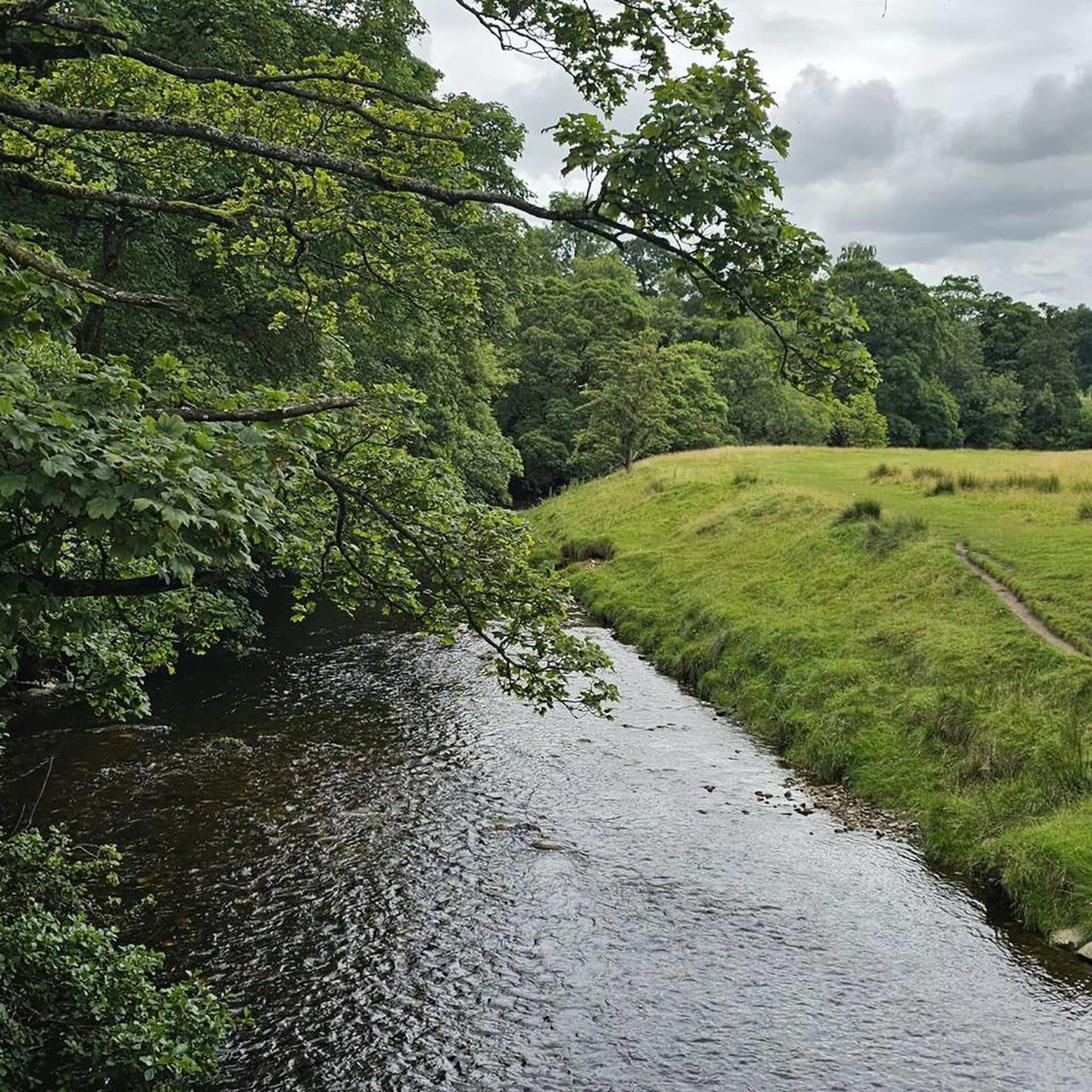
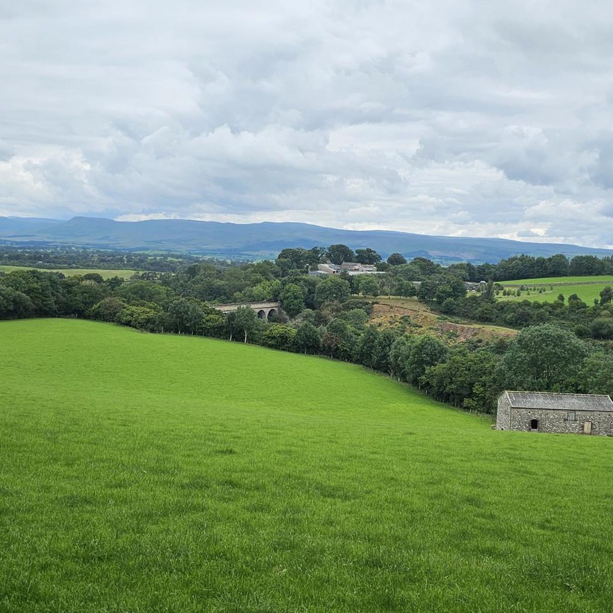
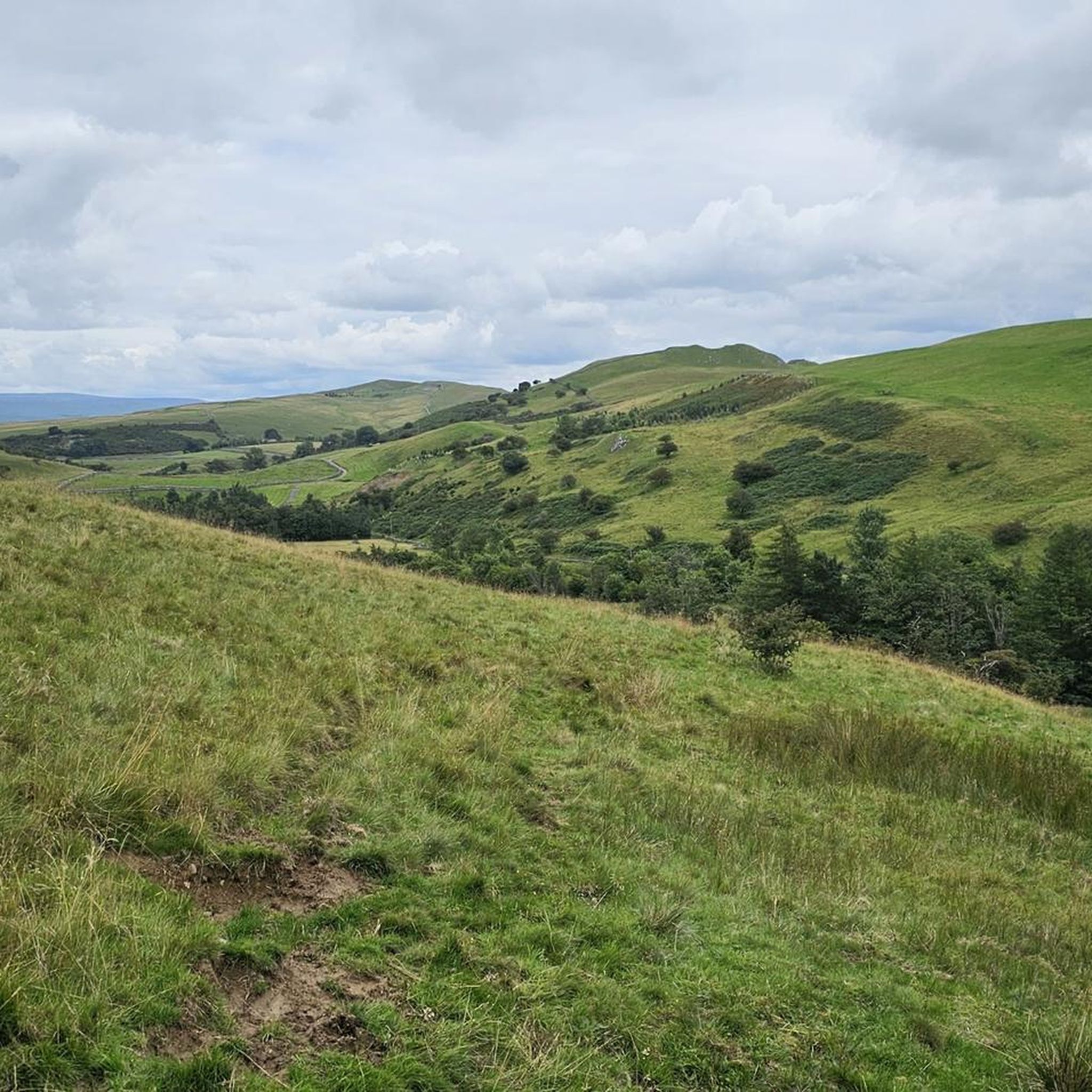
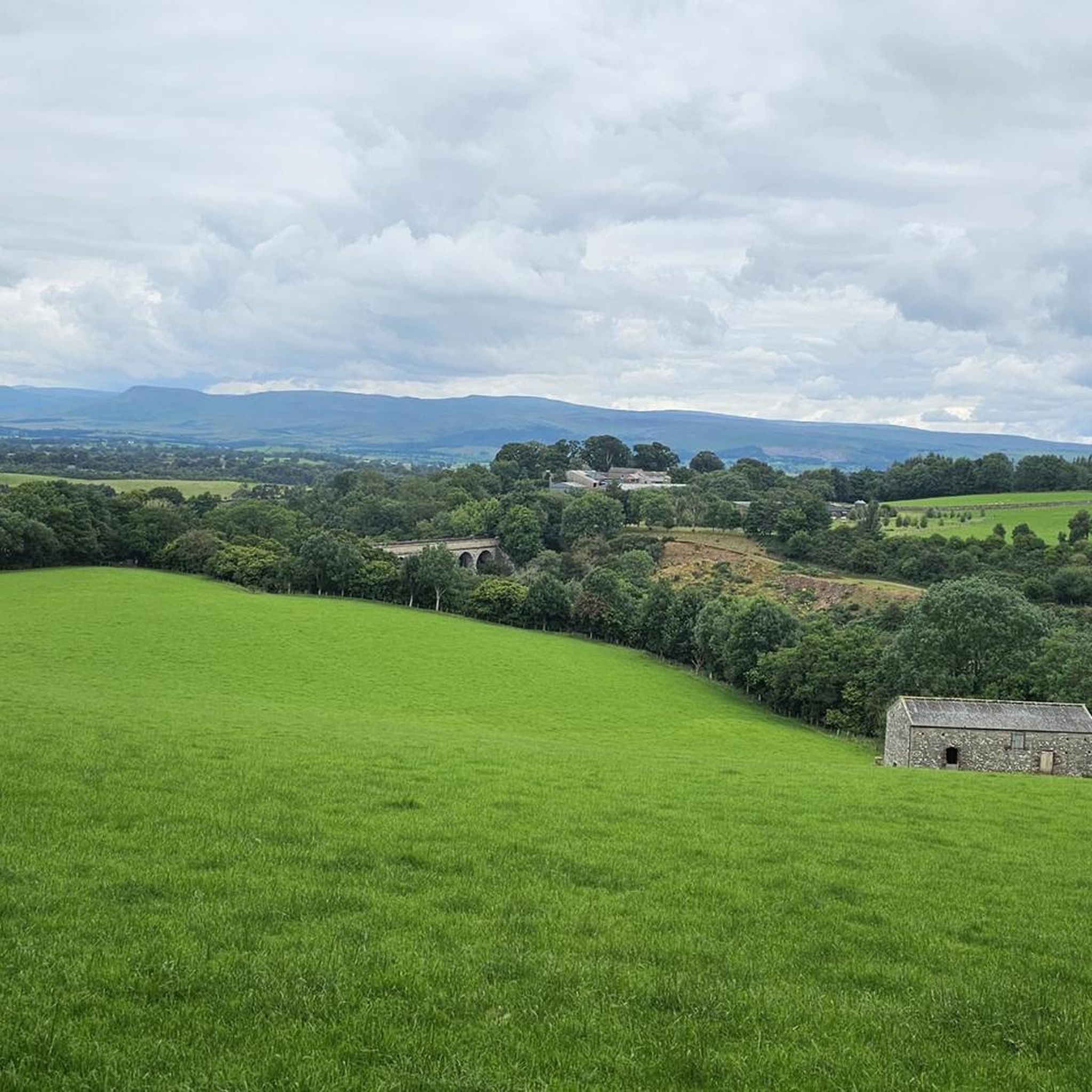
Tips from the Community


Quiet road with several decent sides lay-bys to leave the car in if heading out for a hike or Fell run
0
0

The stone Bridge over the River Tees connects the town of Barnard Castle with Startforth. It dates from the 14th Century and is overlooked by the castle.
0
0

Fantastic loop from Hawes to Muker then Cross tops to Askridge then steady back to Hawes . The climbs are tough but an awesome ride
0
0


Really enjoyable climb winding it's way up the valley, some steep sections to contend with.
0
0
Epic climb with brutal finish before plateauing and taking in the long descent. Headwind was relentless and a battle to stay on the bike at the top. No mean feat getting up there any day. 👍
0
0
Windswept and brooding hills over the top along a very quiet road and then drop down into winding lanes through pretty green fields, following the river overlooked by limestone cliffs.👍
0
0
Frequently Asked Questions
How many road cycling routes are available around Nateby?
Nateby offers a wide selection of road cycling routes, with over 60 different tours available. These routes cater to various skill levels, including easy, moderate, and difficult options.
What kind of terrain can I expect on road cycling routes near Nateby?
The terrain around Nateby is diverse, situated on the northern boundary of the Yorkshire Dales National Park. You'll encounter rolling hills, dramatic dales, and open fell commons. Routes can range from challenging climbs, such as those found on the Etape du dales north loop, to picturesque valley rides along the River Eden.
Are there routes suitable for beginners or those seeking an easier ride?
Yes, Nateby offers routes suitable for beginners. While many routes feature significant climbs, there are 12 easy-rated road cycling tours available, providing gentler options for those looking for a less strenuous experience.
Where can I find challenging climbs for road cycling in the Nateby area?
For challenging climbs, consider routes that ascend to higher elevations. The Lamps Moss Summit – Lamps Moss Climb loop from Kirkby Stephen is a difficult route featuring significant ascents. Another demanding option is the 20% Climb to Barras – Descent from Tan Hill Inn loop, which includes steep gradients and elevated areas.
What scenic viewpoints or natural features can I see while cycling?
The region is rich in natural beauty. You can cycle past the unique stone cairns of Nine Standards, or enjoy views from the Wild Boar Fell Summit Shelter. The River Eden flows nearby, adding to the picturesque scenery, and the area provides expansive views across the Yorkshire Dales.
Are there any waterfalls accessible by road bike near Nateby?
Yes, several waterfalls are within cycling distance. You can visit East Gill Force, Kisdon Force Waterfall, or Wain Wath Force. These natural features offer beautiful spots to pause during your ride.
What is the best time of year to go road cycling around Nateby?
The best time for road cycling around Nateby is typically from spring through autumn. During these seasons, the weather is generally more favorable, with milder temperatures and less chance of snow or ice, making the varied terrain of the Yorkshire Dales more accessible and enjoyable.
Are there any cyclist-friendly amenities like cafes or pubs along the routes?
Yes, the region has amenities catering to cyclists. The Barn in Scorton is known as a firm favorite with local cyclists, offering seating and bike racks. The Tan Hill Inn, located on some routes, is also a well-known stop for refreshments in an elevated setting.
Where can I park my car when starting a road cycling route near Nateby?
Kirkby Stephen, being a nearby hub, is a good option for parking. From there, you can easily access many of the road cycling routes that traverse the surrounding dales and fells. Specific parking details may vary by route, so checking individual tour descriptions is recommended.
Is public transport available to reach road cycling starting points in the area?
Public transport options to reach road cycling starting points near Nateby, such as Kirkby Stephen, may be limited, especially for carrying bikes. It's advisable to check local bus and train services in advance for their bike carriage policies and schedules, as services can be infrequent in rural areas.
Are there any long-distance or circular road cycling routes from Nateby?
Yes, Nateby is a great starting point for both long-distance and circular road cycling routes. For example, the Etape du dales north loop is a challenging 62.8-mile (101.1 km) circular route. Many other routes, like the Ravenstonedale Open Road – Reeth to Tan Hill Road loop, also offer significant distances and circular paths.
What do other cyclists say about road cycling in Nateby?
The road cycling routes around Nateby are highly rated by the komoot community, with an average score of 4.5 stars from over 20 reviews. Cyclists often praise the varied terrain, the stunning natural scenery of the Yorkshire Dales, and the challenging climbs that make for rewarding rides.
Are there family-friendly road cycling options around Nateby?
While many routes in the Nateby area feature challenging climbs and significant distances, there are some easier options available. For family-friendly cycling, look for the 12 routes rated as 'easy' in the area, which typically involve less elevation gain and are shorter in duration, making them more suitable for mixed abilities.
Most popular attractions around Nateby

Get inspired with the komoot mobile app


Explore more
Browse the best Road cycling routes in other regions.
