The best walks and hikes around Blennerhasset And Torpenhow
4.6
(874)
7,049
hikers
161
hikes
Hiking around Blennerhasset And Torpenhow offers access to the northern fells and hills of Cumbria. The landscape is characterized by rolling hills, open moorland, and agricultural land, providing varied terrain for outdoor activities. Trails often lead to prominent local summits, offering expansive views of the surrounding countryside. The region's geology contributes to its distinct character, with routes traversing different elevations.
Best hiking trails around Blennerhasset And Torpenhow
- The most popular hiking route is Binsey Summit loop from Bewaldeth and Snittlegarth…
Last updated: October 10, 2026
4.9
(20)
113
hikers
6.27km
02:05
290m
290m
Moderate hike. Good fitness required. Easily-accessible paths. Suitable for all skill levels.
4.4
(14)
84
hikers
8.96km
02:45
290m
290m
Moderate hike. Good fitness required. Easily-accessible paths. Suitable for all skill levels.

4.4
(14)
75
hikers
7.05km
02:14
270m
270m
Moderate hike. Good fitness required. Easily-accessible paths. Suitable for all skill levels.
4.4
(7)
83
hikers
4.64km
01:30
180m
180m
Easy hike. Great for any fitness level. Easily-accessible paths. Suitable for all skill levels.
4.8
(4)
37
hikers
28.4km
09:34
1,230m
1,240m
Hard hike. Very good fitness required. Sure-footedness, sturdy shoes and alpine experience required.
Get access to more routes and recommendations from other explorers.
Already have an account?
Our route recommendations are based on thousands of hikes, rides, and runs completed by other people on komoot.
Start today with a free account
Your next adventure awaits.
Tips from the Community

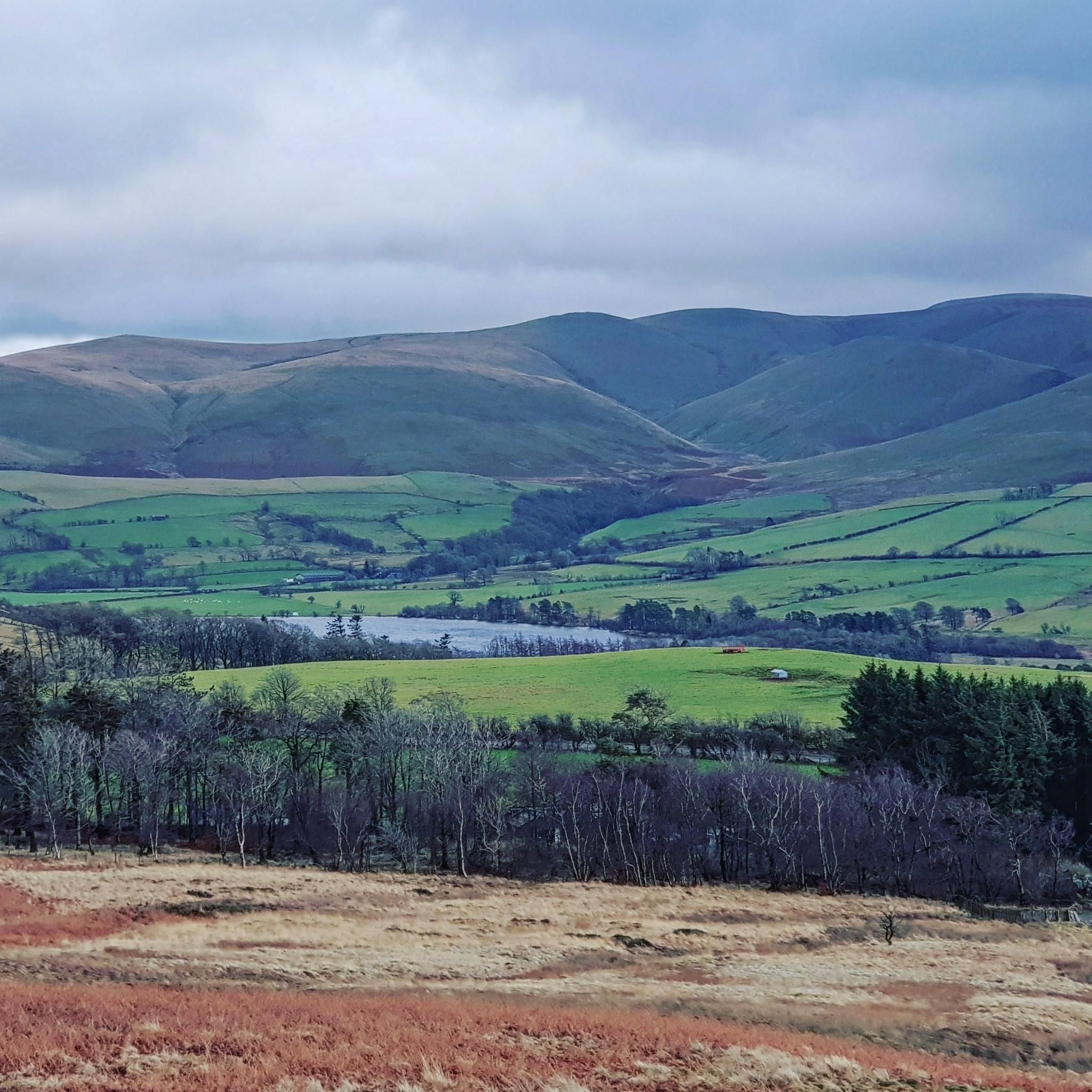
Over Water, beneath Binsey, is a secluded natural tarn and reservoir near the village of Ireby
0
0

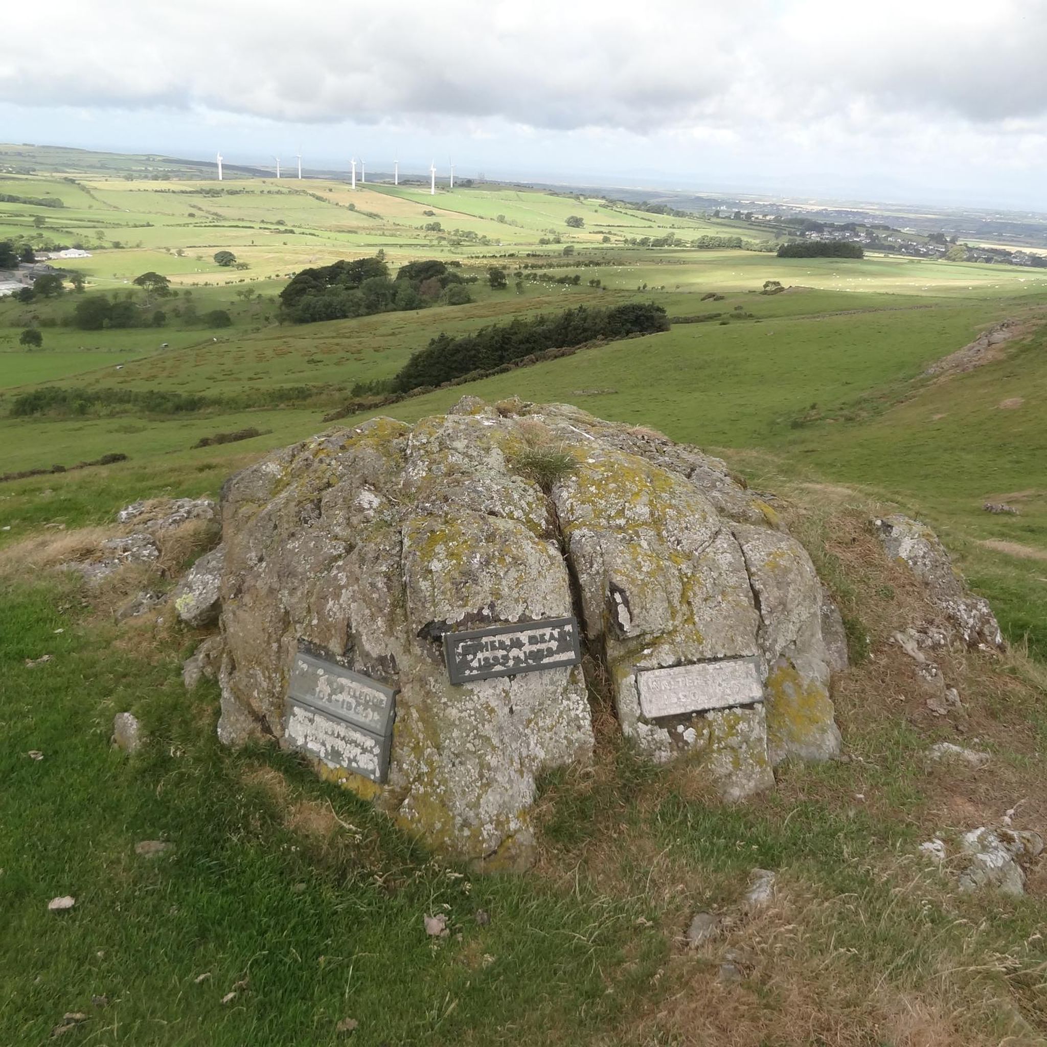
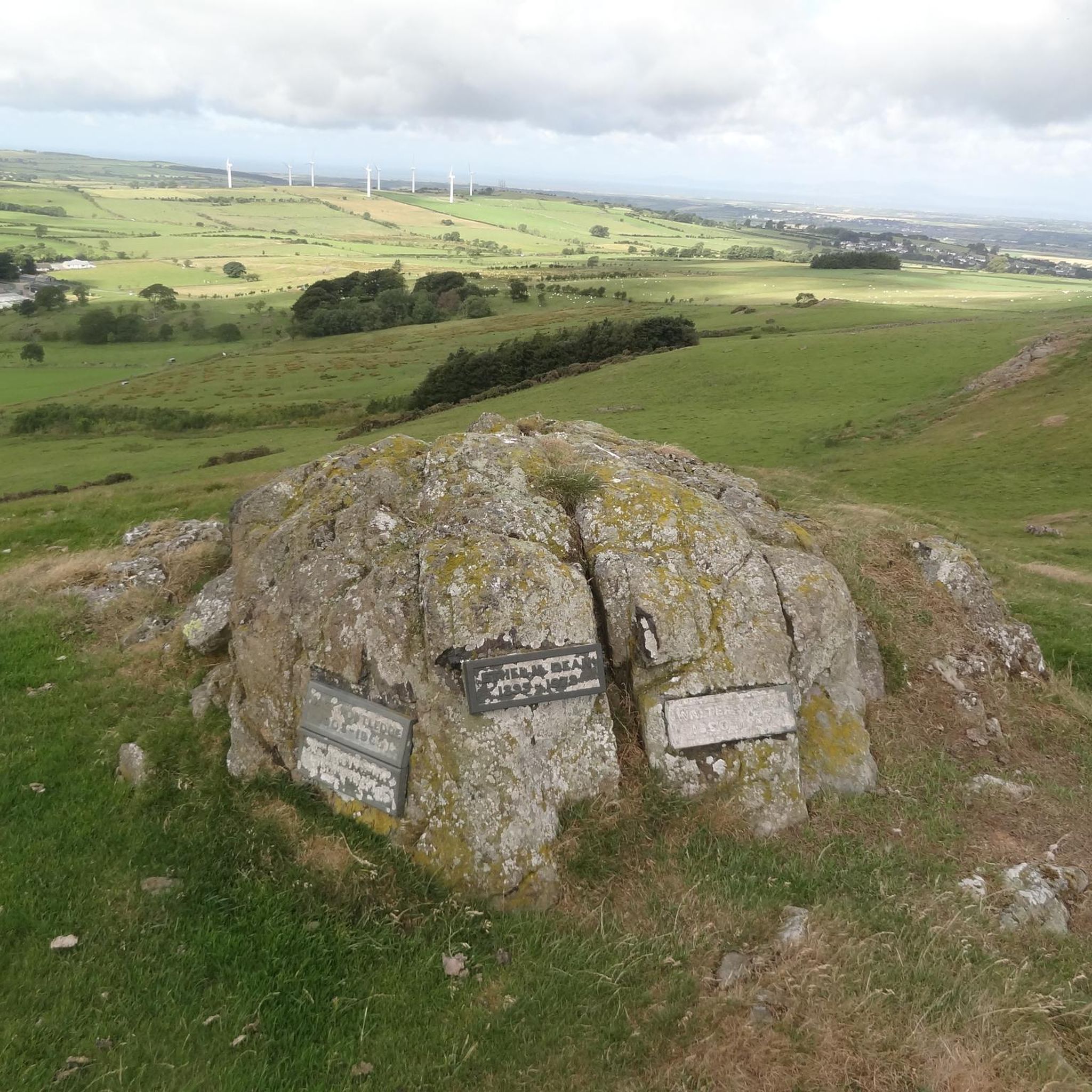
Binsey is a freestanding hill in the northern Lake District, north of Bassenthwaite Lake. At 447 meters high, it's one of the smaller fells, but the views from the summit are surprisingly impressive. On a clear day, you can see not only the western Lakeland fells, but also the Solway Firth, Dumfries & Galloway, and even the Isle of Man. If you stay on the road, you'll remain at 260 meters.
8
0


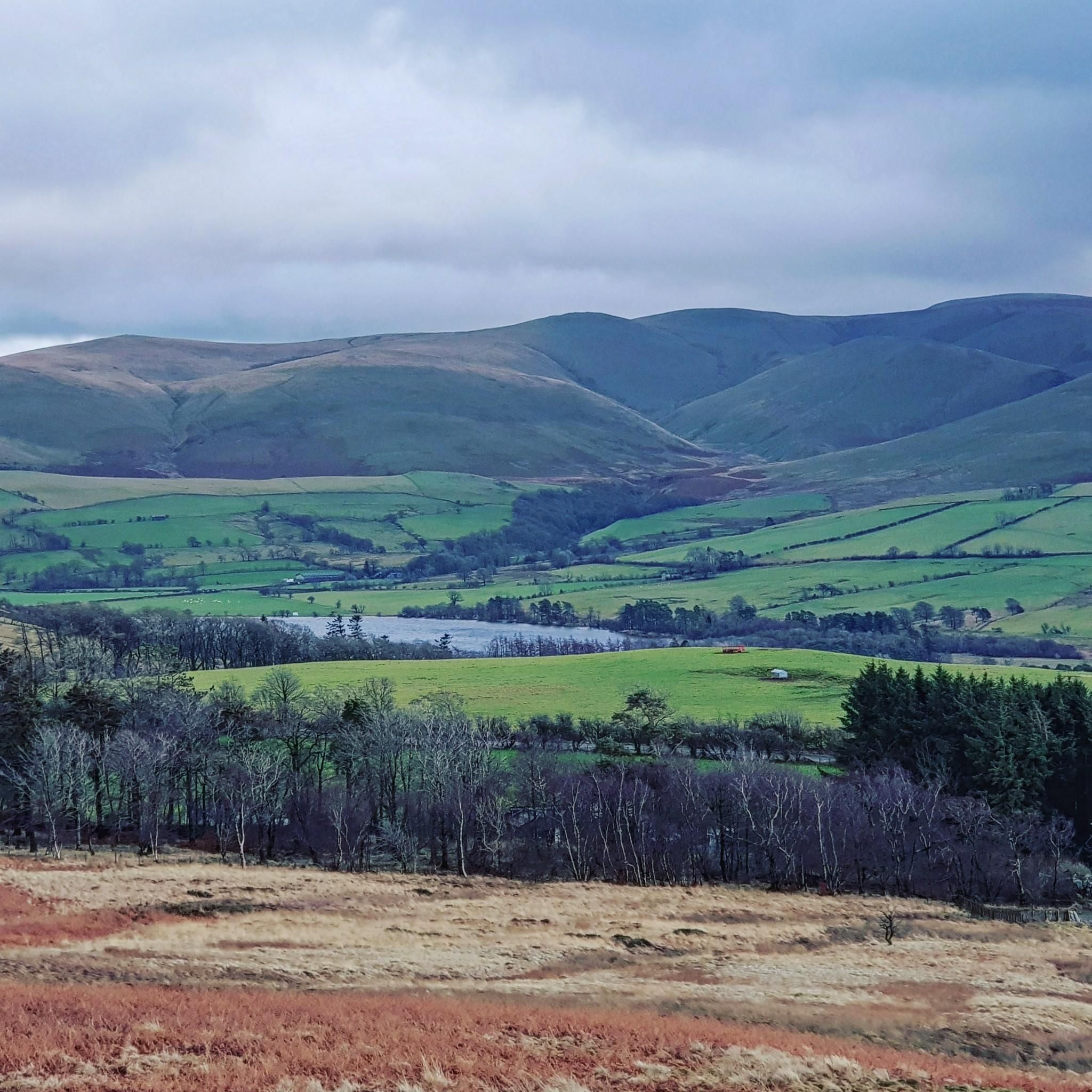
This has brilliant views when the sun is out and no clouds. You get cracking views of the back of Skiddaw.
0
0
A Fell that connects Longlands Fell, Brae Fell previous to it. And also onwards to Great Sca Fell. A grassy route with views of the Back 'O Skiddaw range
0
0
If, after completing Little Sca Fell, you decide to out a bag Meal Fell & Great Cock Up. Meaning you will double back on yourself to get to Great Sca Fell. You can accend up directly. However, this is quite steep and it looked a slog. Divert off left and take the route round the side. Meaning you only have a short, less steep accent.
0
0
Straight up, straight down. Simple walk but actually provides good views of the Back of Skiddaw mountain range on clear days.
0
0
Not a lot of spaces. When I arrived on a Sunday at about 1pm. There was luckily a space.
1
0
Frequently Asked Questions
How many hiking trails are available around Blennerhasset And Torpenhow?
There are over 160 hiking trails around Blennerhasset And Torpenhow, offering a wide range of options for different skill levels and preferences.
What kind of terrain can I expect on hikes in this region?
The region is characterized by rolling hills, open moorland, and agricultural land. Trails often lead to local summits, providing expansive views, and traverse varied elevations.
Are there easy hiking trails suitable for beginners or families?
Yes, there are 55 easy hiking routes in the area. An example is the Binsey Summit – Binsey Parking Area loop from Ireby and Uldale, which is 4.7 miles (7.5 km) long and takes about 1 hour 30 minutes.
Are there any challenging hikes for experienced trekkers?
Yes, for those seeking a challenge, there are 19 difficult routes. A notable option is the Summit of Great Cockup – Meal Fell summit loop from Ireby and Uldale, a demanding 17.7-mile (28.5 km) trail with significant elevation gain.
What are the typical lengths and durations of hikes in Blennerhasset And Torpenhow?
Hikes vary significantly in length and duration. Easy routes can be as short as 1-2 hours, while moderate trails often range from 2-3 hours. More challenging routes can extend to half-day or full-day adventures, such as the 17.7-mile (28.5 km) loop mentioned above, which takes over 9 hours.
Are there circular hiking routes available?
Many of the trails in Blennerhasset And Torpenhow are circular, allowing you to start and end at the same point. For instance, the Binsey Summit – Binsey Parking Area loop from Bewaldeth and Snittlegarth is a moderate 5.6-mile (9.0 km) circular path.
What can I see along the hiking trails in terms of natural attractions?
The region offers beautiful natural sights. You can find stunning views of Over Water and Bassenthwaite Lake. There are also impressive natural monuments like Skiddaw Summit and the picturesque Dash Falls.
Is Blennerhasset And Torpenhow a dog-friendly hiking destination?
Generally, the open fells and agricultural lands are suitable for dogs, but always keep them under control, especially near livestock. Check local signage for specific restrictions, particularly during lambing season or in nature conservation areas.
What do other hikers enjoy most about the trails here?
The area is highly rated by the komoot community, with an average score of 4.6 stars from over 780 reviews. Hikers often praise the expansive views from summits like Binsey and the varied terrain that offers both gentle strolls and more challenging ascents.
When is the best time of year to go hiking in Blennerhasset And Torpenhow?
Spring and summer offer pleasant weather and vibrant landscapes, ideal for enjoying the open fells. Autumn brings beautiful colours, while winter can provide crisp, clear days, though conditions on higher ground may be more challenging and require appropriate gear.
Are there any less crowded hiking options in the area?
While popular routes like those to Binsey Summit can see visitors, exploring some of the less-known paths or hiking during off-peak hours can offer a quieter experience. The region has many trails, so it's possible to find peaceful spots away from the main attractions.
Where can I find parking for hiking trails in Blennerhasset And Torpenhow?
Parking is typically available at common starting points for trails, often near villages or designated car parks. For example, many routes to Binsey Summit, such as the Binsey Parking Area – Binsey Summit loop from Ireby and Uldale, start from specific parking areas.
Most popular routes around Blennerhasset And Torpenhow
Most popular attractions around Blennerhasset And Torpenhow

Get inspired with the komoot mobile app


Explore more
Browse the best Hikes in other regions.
