The best walks and hikes around Aikton
4.3
(194)
1,699
hikers
113
hikes
Hikes around Aikton explore the gentle, pastoral landscape of the Solway Plain in Cumbria. The region is characterized by lowland farmland, hedgerows, and proximity to the Solway Firth, which provides expansive views across intertidal flats and saltmarshes. The terrain is generally flat and accessible, making it suitable for a range of easy walks around Aikton.
Best hiking trails around Aikton
- The most popular hiking route is Molly's Path – Bowness-on-Solway loop from Drumburgh Moss National Nature Reserve, a 6.7 mile (10.8 km) trail that takes around 2 hours 45 minutes to complete. The route passes through a national nature reserve on its way to the coast.
- Another top favourite among local hiking enthusiasts is Molly's Path – Glasson Moss loop from Port Carlisle, an easy 4.5 mile (7.2 km) path. This trail features sections through the Glasson Moss Nature Reserve, a unique peat bog habitat.
- Local hiking enthusiasts also love the Bird Feeding Station loop from Great Orton, a 2.2 mile (3.6 km) trail leading through farmland, often completed in about 55 minutes.
- Hiking around Aikton is defined by coastal paths, nature reserve trails, and routes through pastoral farmland. The network of footpaths offers options for different ability levels, with many easy and family-friendly routes available.
- The routes in Aikton are highly rated by the komoot community with an average score of 4.3 stars from over 140 reviews. More than 1,400 hikers have used komoot to explore Aikton's varied terrain.
Last updated: October 11, 2026
4.2
(6)
15
hikers
Moderate hike. Good fitness required. Easily-accessible paths. Suitable for all skill levels.
3.2
(11)
34
hikers
Easy hike. Great for any fitness level. Easily-accessible paths. Suitable for all skill levels.

4.8
(4)
18
hikers
7.58km
01:55
10m
10m
Easy hike. Great for any fitness level. Easily-accessible paths. Suitable for all skill levels.
4.0
(3)
7
hikers
7.20km
01:49
10m
10m
Easy hike. Great for any fitness level. Easily-accessible paths. Suitable for all skill levels.
3.0
(1)
9
hikers
Easy hike. Great for any fitness level. Easily-accessible paths. Suitable for all skill levels.
Get access to more routes and recommendations from other explorers.
Already have an account?
Our route recommendations are based on thousands of hikes, rides, and runs completed by other people on komoot.
Start today with a free account
Your next adventure awaits.
Tips from the Community

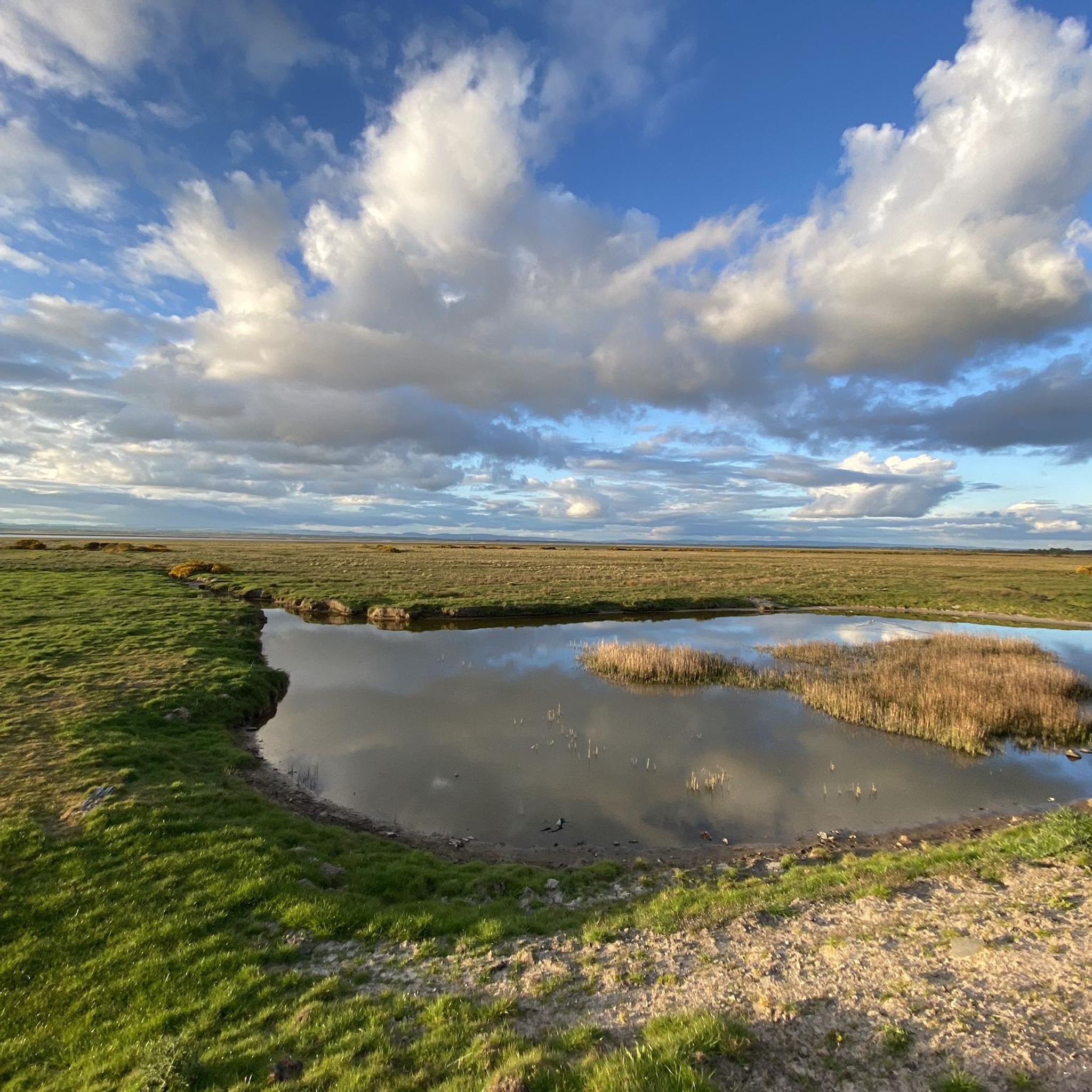
Bowness-on-Solway is best known as being the western end of the iconic Hadrian's Wall. There is a small shelter here to mark the start of this national trail. You will not see much of the wall until after Carlisle, but the wall did originally start at the village with even more forts further down the coast. Being an estuary, this area is also a haven for wildlife and birdwatching.
0
0
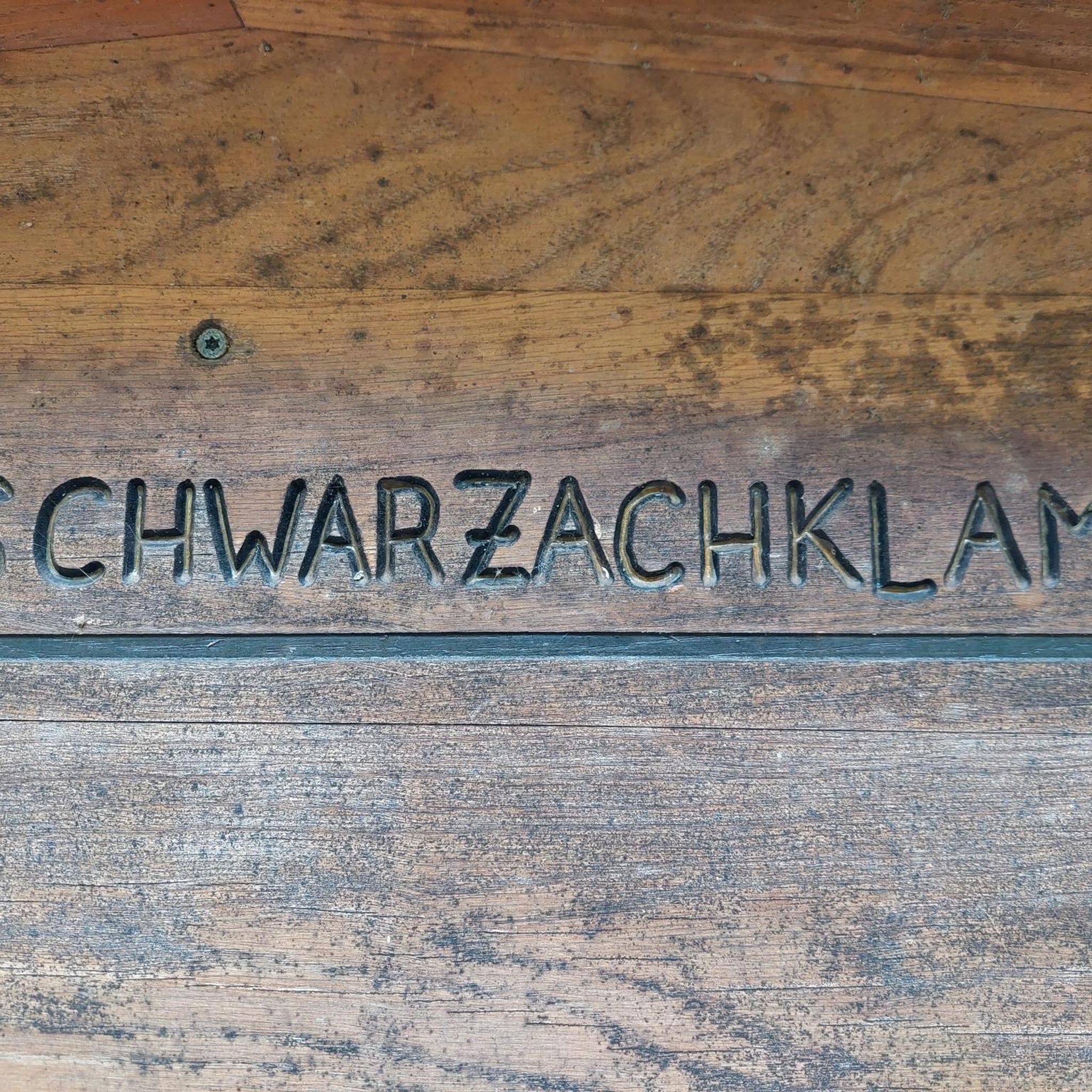
This is really the start of the Hadrians Wall National Trail. A lot of people stay here the night before the start of the walk. It’s a great start point too. The owners and staff couldn’t be more helpful, they are super nice and made our stay a splendid one.
0
0

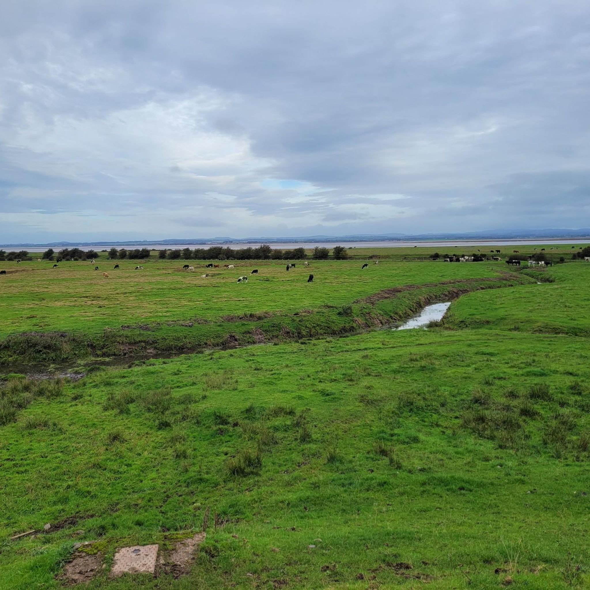
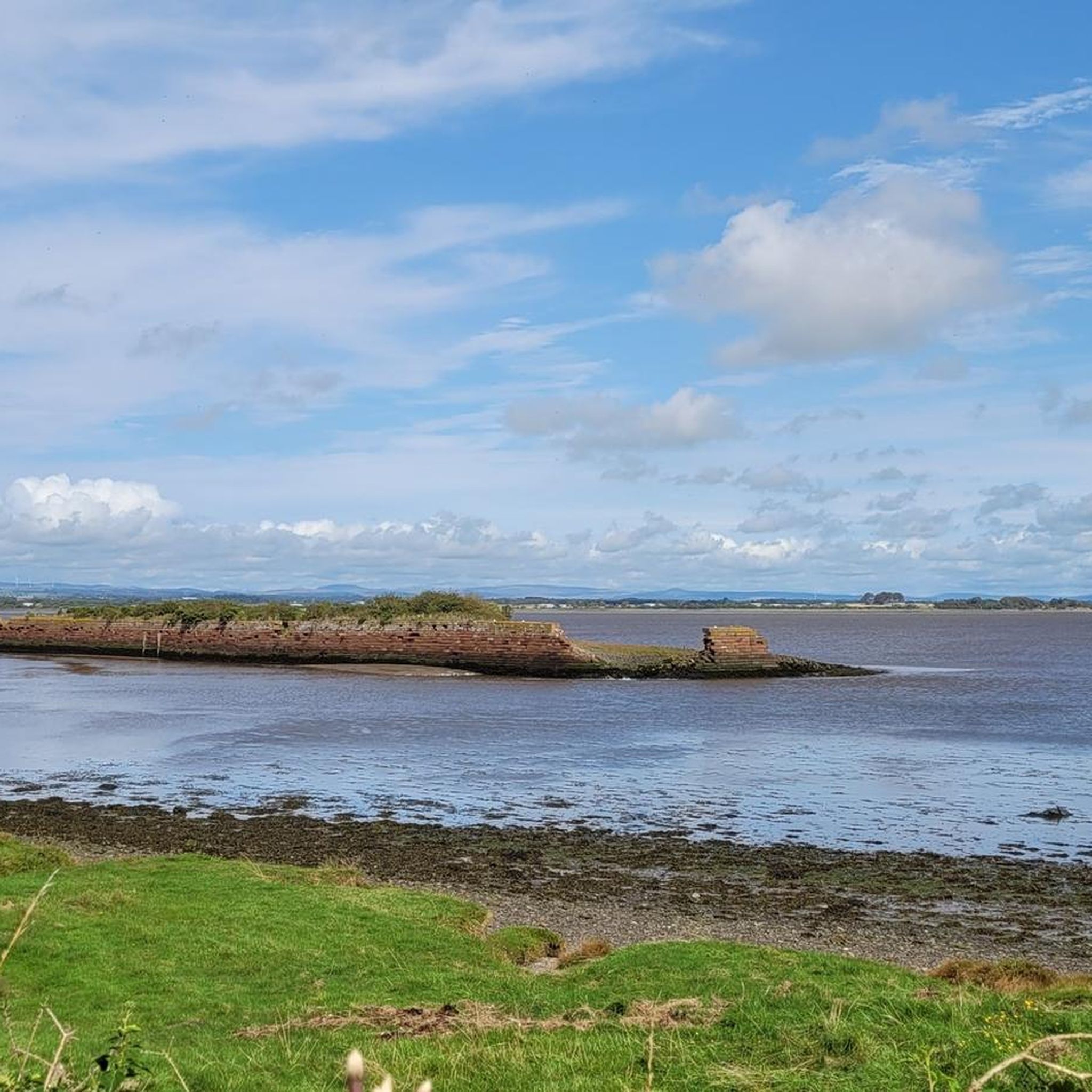
In 1823, a 11.5 mile canal was dug to link the Solway Firth to Carlisle for the transport by barge of heavy goods. The canal was eventually filled in and replaced by a railway line.
0
0

The Kings Arms Inn in Bowness-on-Solway is a historic pub and B&B that has welcomed travelers and locals for over 400 years. Situated at the western end (Maia) of Hadrian's Wall, it's a popular base for walkers, cyclists, and nature lovers exploring the Solway Coast National Landscape.
8
0
In 1823, a 11.5 mile canal was dug to link the Solway Firth to Carlisle for the transport by barge of heavy goods. The canal was eventually filled in and replaced by a railway line.
0
0

The northernmost border of the Roman Empire in the British Isles was secured against the Celtic tribes by a massive structure: Hadrian's Wall, built in the 120s. An episode of the television series "Treasures of the Roman Empire" on German television (ZDF) is dedicated to this 117-kilometer-long border fortification. The film (available only in German) can be accessed via the following link in the ZDF media library =>> https://www.zdf.de/dokumentation/zdfinfo-doku/schaetze-des-roemischen-reichs--der-hadrianswall-100.html
0
0

Hadrian's Wall stretches from Bowness-on-Solway (a short distance west of here) right across the country to the North Sea. It was built by the Romans, starting in AD122 and took about six years to complete.
1
0

Tiny little church worth a quick look round. Drinks and snacks available with honesty box payment
1
0
Frequently Asked Questions
What is the terrain like on the walking tracks in the Aikton area?
The terrain around Aikton is generally gentle and accessible, characterized by pastoral landscapes on the Solway Plain. You can expect lowland farmland, neat fields, and hedgerows. The proximity to the Solway Firth also offers flat coastal paths with expansive views across saltmarshes. Most routes are easy with very little elevation change.
Are the hiking trails around Aikton suitable for dogs?
Yes, many trails in the area are great for walking with dogs. The Solway Coast Area of Outstanding Natural Beauty is particularly popular with dog walkers. However, you will be walking through farmland with livestock and sensitive nature reserves like Glasson Moss, so it's essential to keep your dog on a lead and under control.
Are there any easy, family-friendly walks in the Aikton area?
Absolutely. The region is well-suited for family outings. A great option is the Bird Feeding Station loop from Great Orton. It's a short, easy walk of just over 2 miles (3.6 km) through farmland, making it perfect for little legs.
Can I find circular walks near Aikton?
Yes, many of the best routes in the area are circular. This allows you to start and end in the same place without needing to retrace your steps. For a pleasant loop through a unique habitat, consider the Glasson Moss loop from Glasson, which takes you through a beautiful nature reserve.
What kind of wildlife might I see while hiking near Aikton?
The nature reserves around Aikton are hotspots for wildlife. At places like Glasson Moss Nature Reserve and along the coast, you have excellent opportunities for birdwatching. The area is known for its waders and waterfowl. The wider Solway Coast AONB supports a rich variety of birdlife, especially on the intertidal flats.
How many hiking trails are there to choose from around Aikton?
There is a wide variety of routes to explore. On komoot, you can find over 120 hiking trails in the region, ranging from very easy strolls to more moderate day hikes. The majority are rated as easy, reflecting the gentle landscape of the area.
Are there any long-distance footpaths accessible from the Aikton area?
Yes, the western end of the famous Hadrian's Wall Path National Trail is located at nearby Bowness-on-Solway. This offers opportunities for more challenging, historically significant walks along the path that once marked the edge of the Roman Empire.
What do other hikers enjoy most about the trails in Aikton?
The trails around Aikton are highly regarded by the komoot community. Hikers often praise the peaceful, gentle landscapes and the stunning coastal views across the Solway Firth towards the Scottish hills. The well-maintained paths through unique habitats like the Glasson Moss Nature Reserve are also frequently mentioned as a highlight.
How do I get to the trailheads and is there parking?
Most trailheads are best accessed by car. Popular spots like Glasson Moss Nature Reserve have small, free roadside car parks, though spaces can be limited. It's always a good idea to arrive early. For public transport options, you can check local bus services that serve villages in the area, but they may be infrequent.
What kind of gear should I bring for hiking in Aikton?
Even for easy walks, sturdy and comfortable walking shoes are recommended as paths can be uneven or muddy, especially in the nature reserves. The weather on the Solway Coast can change quickly, so waterproofs are essential. If you're interested in birdwatching, don't forget to bring a pair of binoculars.
Are there any moderate hikes for a bit more of a challenge?
While the area is known for easy walks, there are moderately challenging options available. The Swan on the Lake loop from Thursby is a good example. It's a 5-mile (8.1 km) route with a little more elevation than the coastal flats, offering a slightly more strenuous outing.
Most popular routes around Aikton
Most popular attractions around Aikton

Get inspired with the komoot mobile app


Explore more
Browse the best Hikes in other regions.
