The best walks and hikes around North Turton
4.4
(617)
5,555
hikers
109
hikes
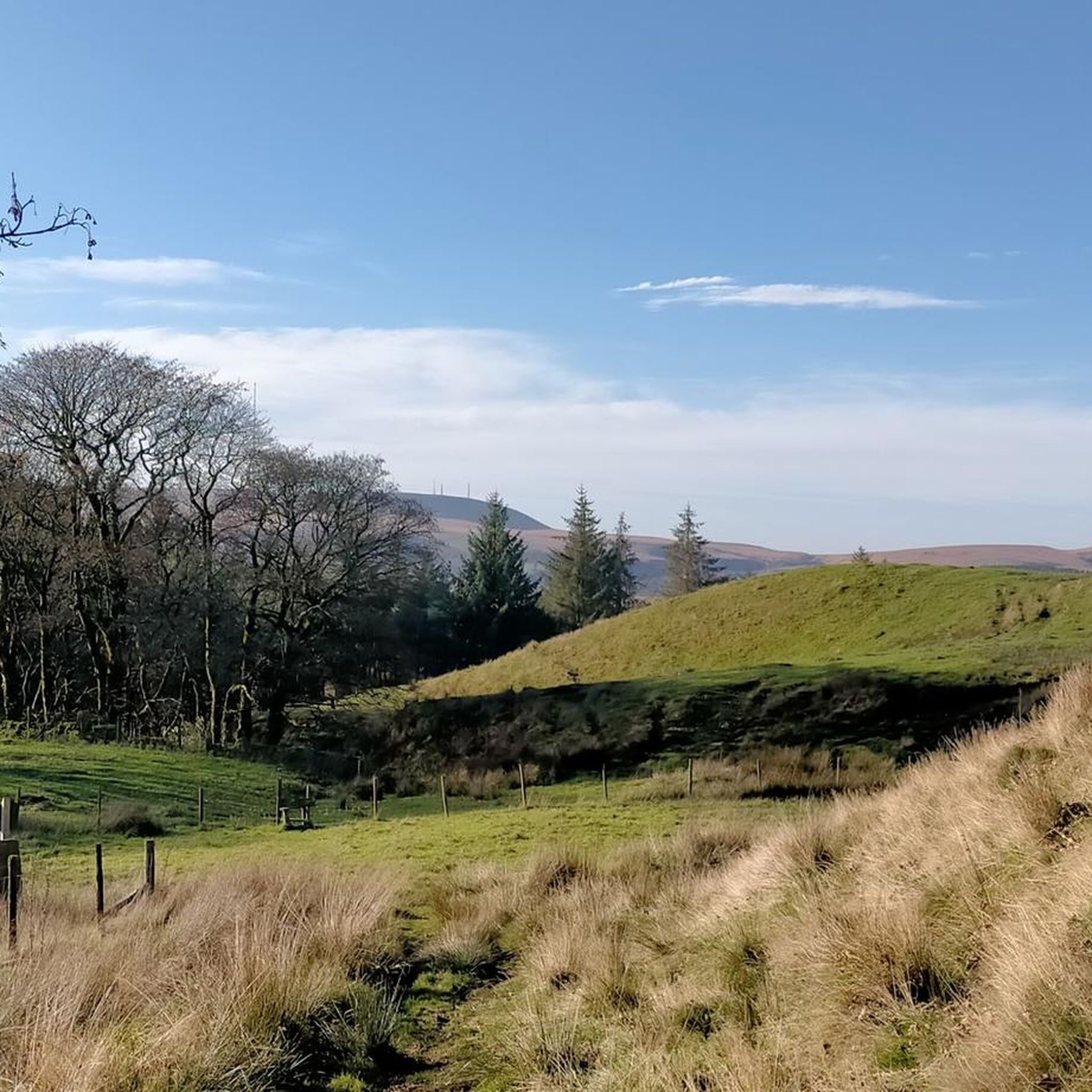
Hiking around North Turton explores the scenic West Pennine Moors, an area characterized by its large reservoirs and moorland. The landscape features a network of trails ranging from flat, accessible paths around the water to more challenging routes across open moor. Key natural features include Turton and Entwistle Reservoir, Wayoh Reservoir, and the open moorlands of Turton Heights and Turton Moor. The region offers varied terrain for different hiking preferences.
Best hiking trails around North Turton
- The most popular hiking…
Last updated: October 10, 2026
4.9
(67)
950
hikers
4.72km
01:15
40m
40m
Hike the easy 2.9-mile Warpers Trail, gaining 142 feet in 1 hour and 14 minutes, past reservoirs and woodlands.
4.8
(97)
606
hikers
11.4km
03:01
110m
110m
Moderate hike. Good fitness required. Easily-accessible paths. Suitable for all skill levels.

4.8
(49)
393
hikers
6.73km
01:48
80m
80m
Easy hike. Great for any fitness level. Easily-accessible paths. Suitable for all skill levels.
5.0
(11)
189
hikers
7.98km
02:09
100m
100m
Moderate hike. Good fitness required. Easily-accessible paths. Suitable for all skill levels.
4.9
(65)
943
hikers
Easy hike. Great for any fitness level. Easily-accessible paths. Suitable for all skill levels.
Get access to more routes and recommendations from other explorers.
Already have an account?
Our route recommendations are based on thousands of hikes, rides, and runs completed by other people on komoot.
Start today with a free account
Your next adventure awaits.
Other adventures around North Turton

Tips from the Community

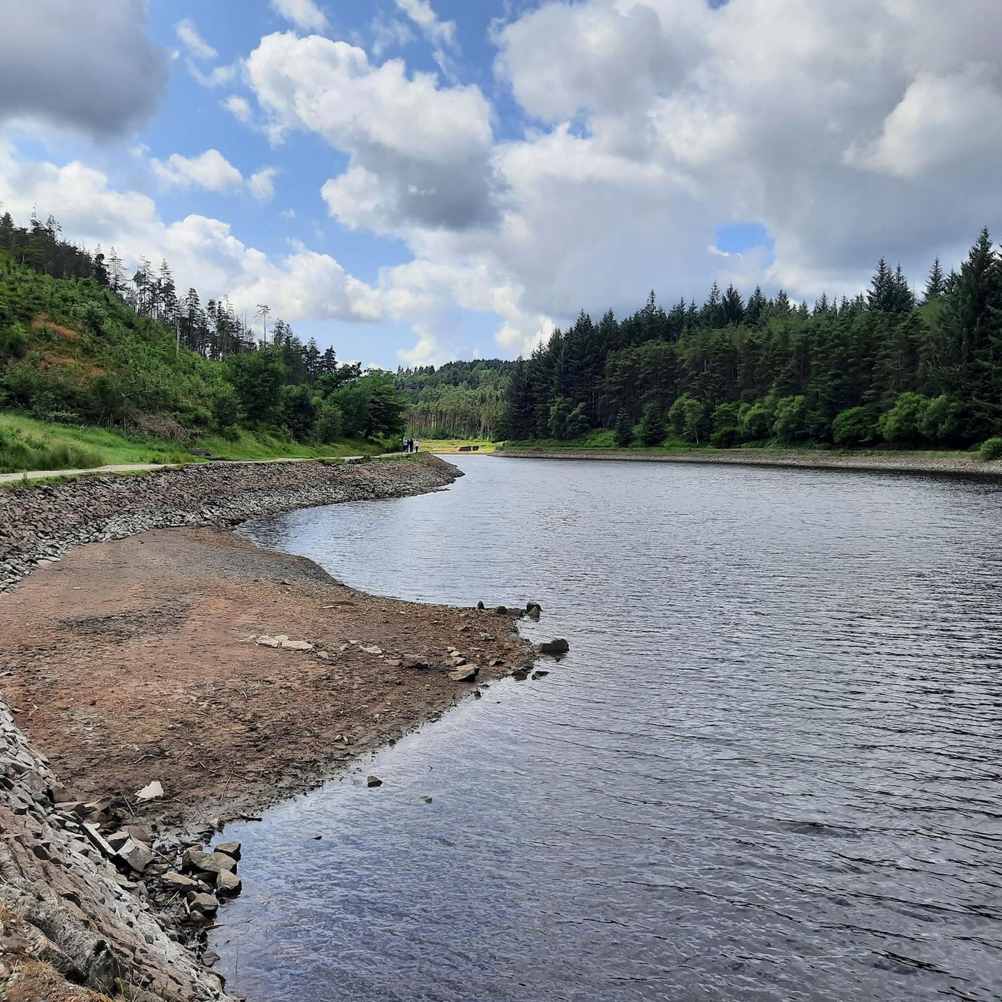
The path around the reservoir is worthwhile. It's used by many runners and dog walkers. Unfortunately, the reservoir is currently low on water.
0
0
Beautiful hiking trail used by many runners and dog walkers.
0
0
Click here for the menu https://thestrawburyduck.co.uk/
0
0
Unfortunately, the reservoir currently has little water.
0
0
There are several parking areas for hikers near the dam, from which you can access the circular trail around the reservoir.
0
0
If the visibility is good, you have a beautiful view of the tower from the circular hiking trail around the reservoir
0
0
Good starting point for a hike around the reservoir
0
0

Food is exceptional, great stop off point after a long walk around the reservoir.
1
0
Frequently Asked Questions
Are the hiking trails in North Turton suitable for families and children?
Yes, North Turton offers several family-friendly options. The paths around the reservoirs are particularly suitable for all ages. For an easy and accessible walk, consider the Wayoh Reservoir Dam – Bradshaw Brook Viaduct loop from Edgworth. This gentle 3-mile (4.8 km) trail is mostly flat and provides lovely views without being too strenuous for little legs.
Can I bring my dog on the trails around North Turton?
Most trails in the North Turton area are dog-friendly, especially the reservoir paths. However, when hiking on the open moorlands, it's important to keep dogs on a lead, particularly during bird nesting season (typically spring and early summer) and when livestock are present.
How can I get to the hiking trails using public transport?
The area is well-served by rail. Entwistle Station is located right by the reservoir, making it an excellent starting point for many hikes. For example, you can start the Turton & Entwistle Reservoir loop directly from the station.
What are the parking options for the main reservoir walks?
There are dedicated car parks available at the main reservoirs. The Turton and Entwistle Reservoir has its own car park (postcode BL7 0LU), which is a popular starting point. Jumbles Country Park also provides parking. These car parks can get very busy, especially on weekends and holidays, so arriving early is recommended.
Are there any challenging or long-distance hikes in the area?
Yes, for those seeking a more strenuous hike, the West Pennine Moors offer plenty of challenges. A great option is the Entwistle Reservoir – Turton and Entwistle Reservoir loop from North Turton. This 7.6-mile (12.3 km) route combines reservoir paths with more demanding climbs into the surrounding moorland, offering expansive views as a reward.
What kind of scenery can I expect on a hike in North Turton?
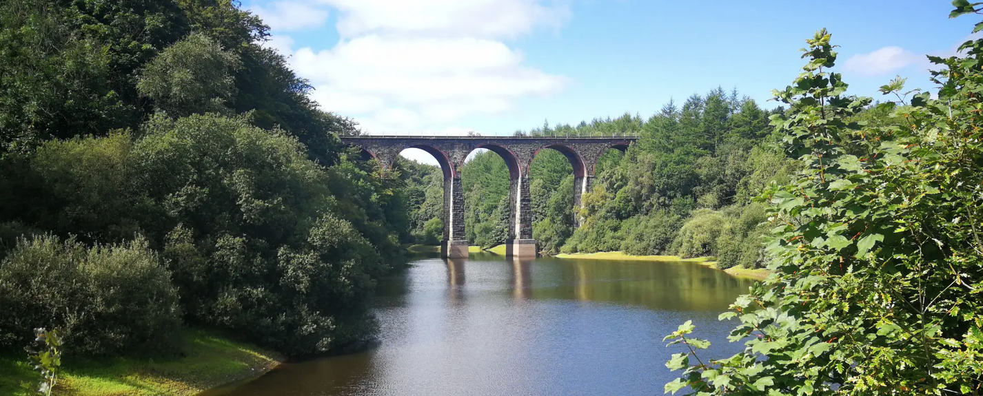
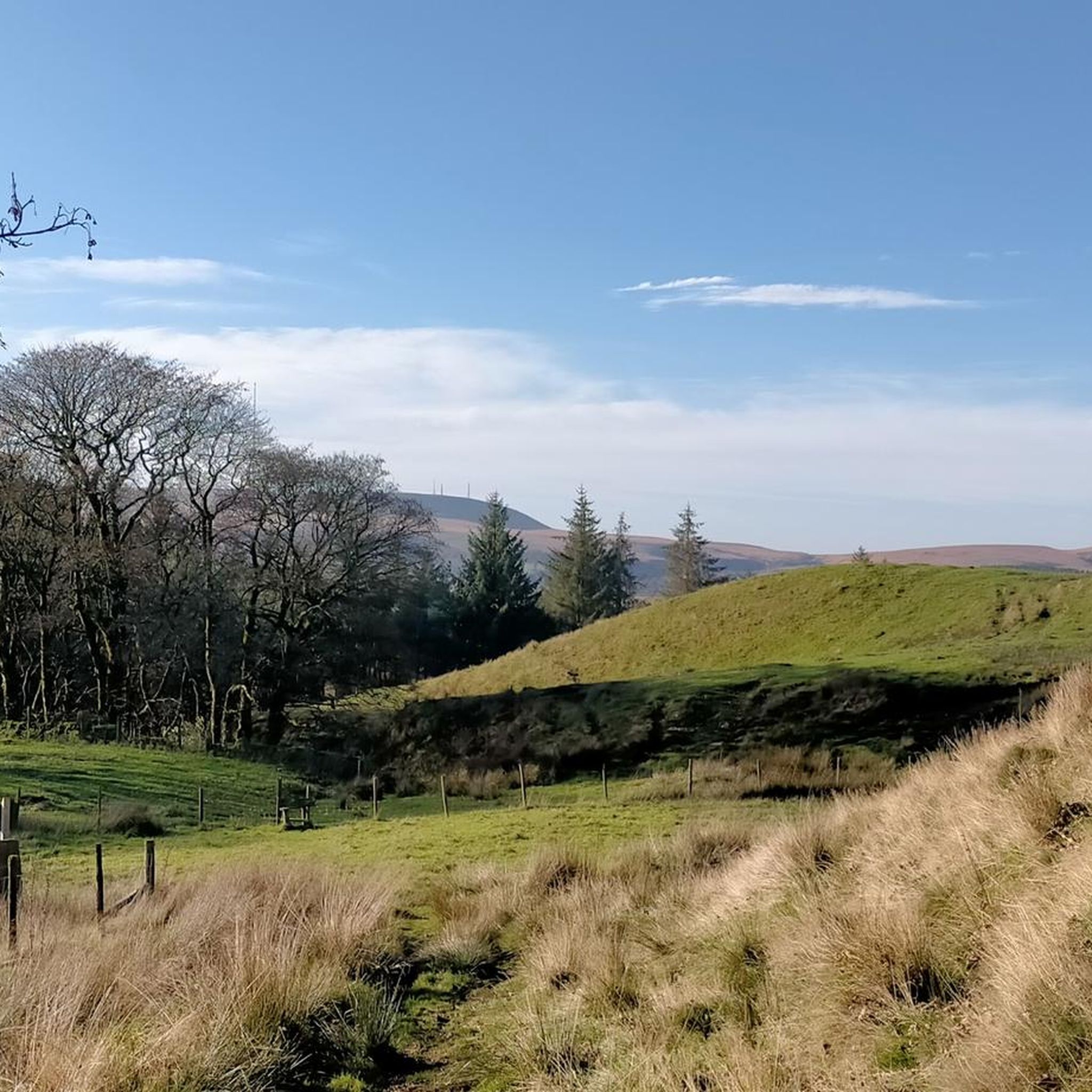
The landscape is a mix of tranquil reservoirs, like Turton and Entwistle, and rugged, open moorland typical of the West Pennines. You'll also find wooded valleys and features of industrial history, such as old viaducts and dams. Many trails offer panoramic views, and on a clear day from the higher moorland points, you can see for miles.
Are there any circular walks that are good for beginners?
The area is perfect for beginners, with many flat and well-maintained circular routes. The path around Jumbles Reservoir is a very popular choice as it's almost entirely flat and accessible. Another excellent option is the Wayoh Reservoir Dam – Bradshaw Brook Viaduct loop from Entwistle, which is a straightforward 3-mile (4.8 km) walk.
What do other hikers enjoy most about the trails in North Turton?
The trails around North Turton are highly rated by the komoot community, with an average score of 4.6 stars. Hikers frequently praise the well-maintained paths around the reservoirs, the stunning views across the moors, and the peaceful atmosphere. The mix of easy waterside strolls and more challenging moorland hikes is also a highlight.
Are there any pubs or cafes near the hiking trails?
Yes, there are several pubs in the villages surrounding the reservoirs, such as Edgworth and Chapeltown, which are popular for a post-hike meal or drink. Many walkers plan their routes to start or end near one of these establishments.
What historical points of interest can I see while hiking?
The region is rich in history. Turton Tower, a historic manor house, is a major landmark. On the trails, you'll also encounter impressive 19th-century engineering like the Entwistle Dam and the Bradshaw Brook Viaduct. The moors themselves contain traces of industrial archaeology and even prehistoric remains.
How many hiking trails are available around North Turton?
There are over 100 different hiking routes to explore around North Turton. These range from short, easy walks suitable for everyone to moderate and difficult hikes for more experienced walkers, ensuring there's a trail for every fitness level.
What is the terrain like on the moorland trails?
The terrain on the West Pennine Moors is typically rugged and can be challenging. Expect uneven paths, boggy sections, especially after rain, and steady climbs. The trails are often exposed to the elements, so proper hiking footwear and weather-appropriate clothing are essential. The views from the top, however, make the effort worthwhile.
Most popular routes around North Turton
Most popular attractions around North Turton

Get inspired with the komoot mobile app


Explore more
Browse the best Hikes in other regions.
