The best road cycling routes around Ince Blundell
4.7
(108)
5,092
riders
202
rides
Road cycling routes around Ince Blundell traverse a landscape characterized by flat fenland and historical features, offering varied terrain for cyclists. The area features mostly well-paved surfaces, making it suitable for road bikes. While generally level, the region includes historical parklands and coastal views. The River Alt and its flood plains contribute to the unique natural environment, providing a mix of open and sheltered sections for cycling.
Best road cycling routes around Ince Blundell
- The most popular road cycling route…
Last updated: July 11, 2026
4.8
(12)
297
riders
126km
05:18
550m
550m
Hard road ride. Very good fitness required. Some segments of this route may be unpaved and difficult to ride.
39
riders
23.5km
01:02
40m
40m
Easy road ride. Great for any fitness level. Mostly well-paved surfaces and easy to ride.

Sign up for free
4.0
(1)
28
riders
Easy road ride. Great for any fitness level. Mostly well-paved surfaces and easy to ride.
35
riders
21.9km
00:59
40m
40m
Moderate road ride. Great for any fitness level. Some segments of this route may be unpaved and difficult to ride.
25
riders
37.6km
01:41
130m
130m
Easy road ride. Great for any fitness level. Mostly well-paved surfaces and easy to ride.
Get access to more routes and recommendations from other explorers.
Sign up for free
Already have an account?
Our route recommendations are based on thousands of hikes, rides, and runs completed by other people on komoot.
Start today with a free account
Your next adventure awaits.
Login or Signup

Tips from the Community

The statues are scattered up a long stretch of beach
0
0
There's two routes through, the short way -narrow path or a longer route of a wider surfaced path
0
0

AI Summary Rubble on Crosby Beach (often called "Blitz Beach") includes both 1941 WWII bomb damage and debris from 1960s/70s redevelopment. While primarily known as a dumping ground for Liverpool/Bootle Blitz debris, materials from later, post-war, and slum clearance projects were also used to reinforce the coastline against erosion. 1940s Material: Initial rubble deposited shortly after the 1941 blitz includes bricks, Victorian tiling, stone carvings, and architectural remnants from destroyed homes and landmarks. 1960s & Later Material: Subsequent landfill from later, post-war demolition projects was layered on top of the original wartime debris. Nature of the Site: This material was primarily intended as a cost-effective way to manage industrial waste and protect the coastline, rather than for structural engineering.
1
0


This area is now becoming INCORRECTLY named the Blitz beach. It was actually formed with demolition material from 1960's redevelopment in Liverpool and has nothing to do with the 1940/41 Blitz. It also contains material from the demolition of Fort Crosby in 1967. It's an indication of the power of Social Media that such a misunderstanding is taking a hold. Please stop using the term Blitz Beach because it isn't.
2
0

Paid for toilets - 40p - it’s a little hit and miss (no pun intended) on whether they’ll accept your coins. They don’t give change either but when you have to go, you have to go.
2
0

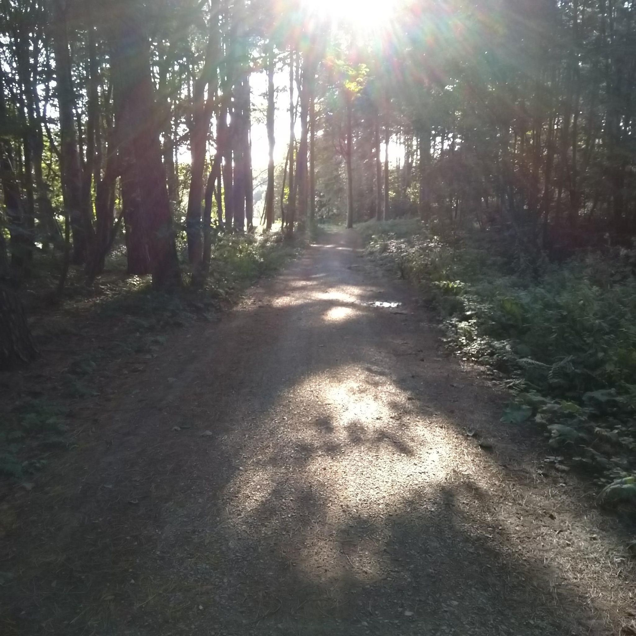
Quiet country lane that leads to a gravel track cutting through to Hightown. Passable in freezing January, might be muddy in rain. A fine place to admire infinite brussel sprouts
0
0
Frequently Asked Questions
How many road cycling routes are available around Ince Blundell?
You'll find over 200 road cycling routes around Ince Blundell, catering to various skill levels. The komoot community has explored more than 212 routes in the area, offering a wide range of options from easy coastal loops to more challenging long-distance rides.
What is the typical terrain like for road cycling in Ince Blundell?
The region around Ince Blundell is characterized by mostly flat fenland and well-paved surfaces, making it ideal for road cycling. While generally level, routes often feature historical parklands, coastal views, and sections near the River Alt and its flood plains, providing a mix of open and sheltered environments.
Are there road cycling routes suitable for beginners or families in Ince Blundell?
Yes, Ince Blundell offers numerous easy road cycling routes perfect for beginners and families. For instance, the View of Altcar Beach – Crosby Beach (Blundellsands) loop from Formby is an easy 23.5 km ride, and the Crosby Rubble Beach – Crosby Beach (Blundellsands) loop from Ince Blundell is an easy 19.4 km option, both offering pleasant coastal scenery.
What kind of landmarks or natural features can I see along the road cycling routes?
Road cycling routes in Ince Blundell often pass through areas rich in historical and natural beauty. You can encounter the historical Ince Blundell Hall parkland, and routes frequently offer views of the coastline. Nearby attractions include the Another Place Sculptures at Crosby Beach, Crosby Beach (Blundellsands), and Formby Beach, which is known for its sand dunes and woodlands.
Are there any challenging road cycling routes for experienced riders?
Absolutely. For experienced cyclists seeking a greater challenge, the Burton Village – Royal Liver Building loop from Formby is a difficult 126.1 km ride with significant elevation gain, offering a substantial workout and a long day in the saddle.
What do other road cyclists enjoy most about cycling in Ince Blundell?
The road cycling routes around Ince Blundell are highly rated by the komoot community, with an average score of 4.7 stars from over 110 reviews. Cyclists frequently praise the well-paved surfaces, the blend of historical landscapes with coastal views, and the variety of routes suitable for different fitness levels.
Are there circular road cycling routes available?
Yes, many of the road cycling routes around Ince Blundell are designed as loops, allowing you to start and finish at the same point. Examples include the Crosby Beach (Blundellsands) – View of Altcar Beach loop from Thornton and the Crosby Rubble Beach – Crosby Beach (Blundellsands) loop from Hightown.
What are the best times of year to go road cycling in Ince Blundell?
The region's generally flat fenland can be susceptible to winter flooding from the River Alt, so spring, summer, and early autumn typically offer the most favorable conditions for road cycling. During these seasons, you'll experience milder weather and drier routes, making for a more enjoyable ride.
Is there public transport access to the road cycling routes in Ince Blundell?
While Ince Blundell is a quiet parish, it is situated within the wider Merseyside area. For detailed information on public transport options, including bus routes and policies regarding bikes, it's advisable to check local transport provider websites or resources like Sefton Council's guide to exploring Ince Blundell for general travel advice in the area.
Where can I find parking facilities for cyclists near the routes?
Specific designated cycle parking facilities directly at trailheads in Ince Blundell village may be limited due to its rural nature. However, many routes start from nearby towns like Formby or Thornton, which typically offer more established parking options. It's recommended to check local council websites or komoot route details for specific parking recommendations at your chosen starting point.
Are dogs allowed on the road cycling routes?
While road cycling routes themselves are generally public roads, policies regarding dogs can vary, especially when routes pass through or near natural reserves like Ainsdale National Nature Reserve or Formby Beach. These areas are vital habitats for species like red squirrels and natterjack toads. If you plan to stop or deviate from the road, it's best to check specific regulations for those natural areas regarding dogs, often requiring them to be on a lead.
Are there cafes or pubs along the road cycling routes in Ince Blundell?
Ince Blundell itself is a quiet parish, so dedicated cyclist-focused cafes or pubs directly on the routes might be sparse. However, many routes connect to or pass near larger towns and villages in the surrounding area, such as Formby or Crosby, where you can find various establishments for refreshments. Planning your route with potential stops in mind is recommended.
Most popular routes around Ince Blundell
Most popular attractions around Ince Blundell

Get inspired with the komoot mobile app


Explore more
Browse the best Road cycling routes in other regions.
