The best road cycling routes around Billinge Chapel End
4.5
(116)
4,906
riders
301
rides
Road cycling routes around Billinge Chapel End offer diverse terrain, characterized by rolling hills, quiet country lanes, and a mix of woodland and farmland. The area's most prominent feature is Billinge Hill, the highest point in Merseyside at 179 meters (587 feet), providing challenging ascents and panoramic views. This region provides access to an extensive network of routes suitable for various fitness levels, from gentle rides to more moderate options with significant elevation gains.
Best road cycling routes around Billinge…
Last updated: July 5, 2026
4.5
(2)
95
riders
50.3km
02:05
320m
320m
Moderate road ride. Good fitness required. Mostly well-paved surfaces and easy to ride.
5.0
(3)
42
riders
26.7km
01:11
230m
230m
Easy road ride. Great for any fitness level. Mostly well-paved surfaces and easy to ride.

Sign up for free
24
riders
20.9km
00:55
180m
180m
Easy road ride. Great for any fitness level. Mostly well-paved surfaces and easy to ride.
10
riders
20.0km
01:01
320m
320m
Moderate road ride. Good fitness required. Mostly well-paved surfaces and easy to ride.
11
riders
22.2km
00:58
130m
130m
Easy road ride. Great for any fitness level. Mostly well-paved surfaces and easy to ride.
Get access to more routes and recommendations from other explorers.
Sign up for free
Already have an account?
Our route recommendations are based on thousands of hikes, rides, and runs completed by other people on komoot.
Start today with a free account
Your next adventure awaits.
Login or Signup
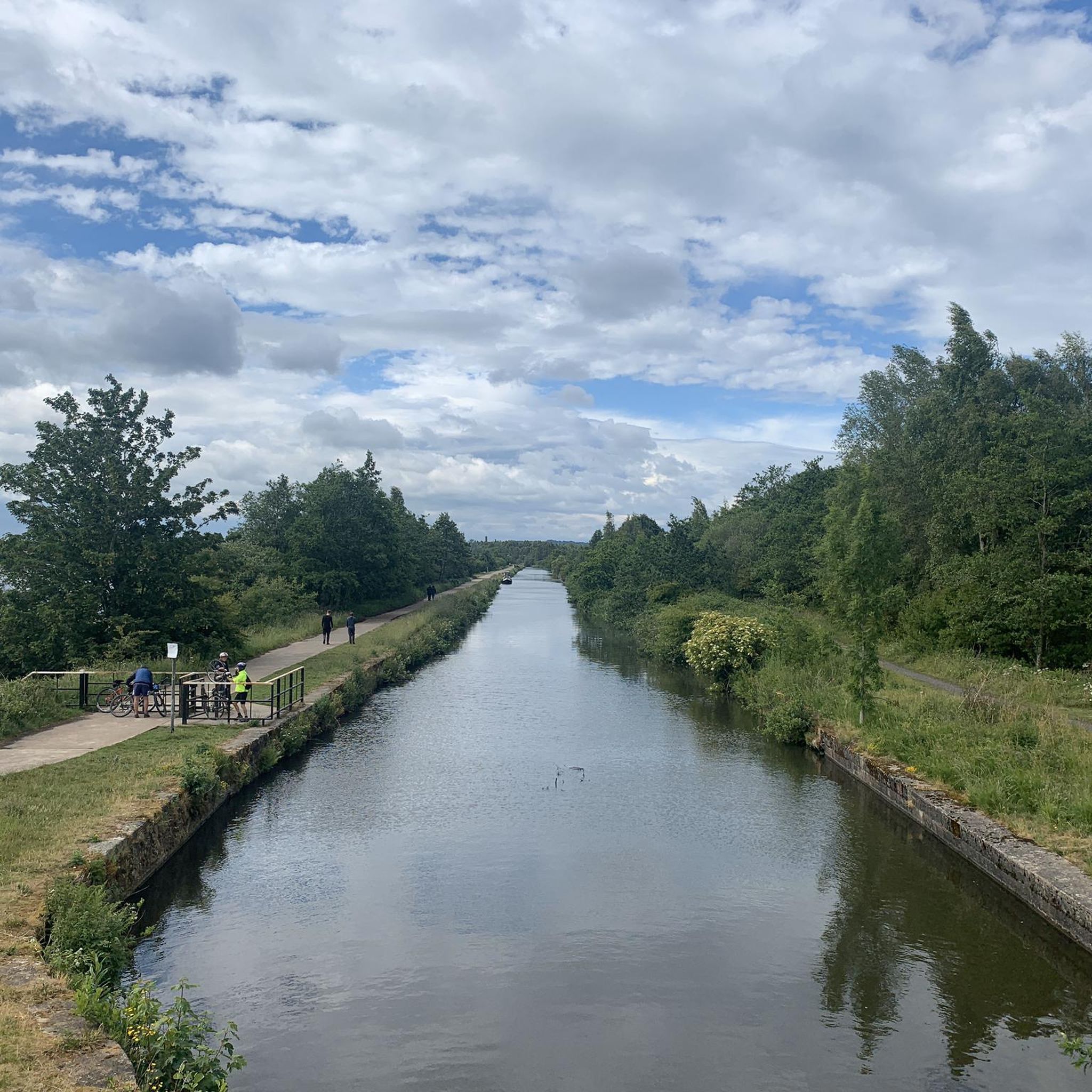
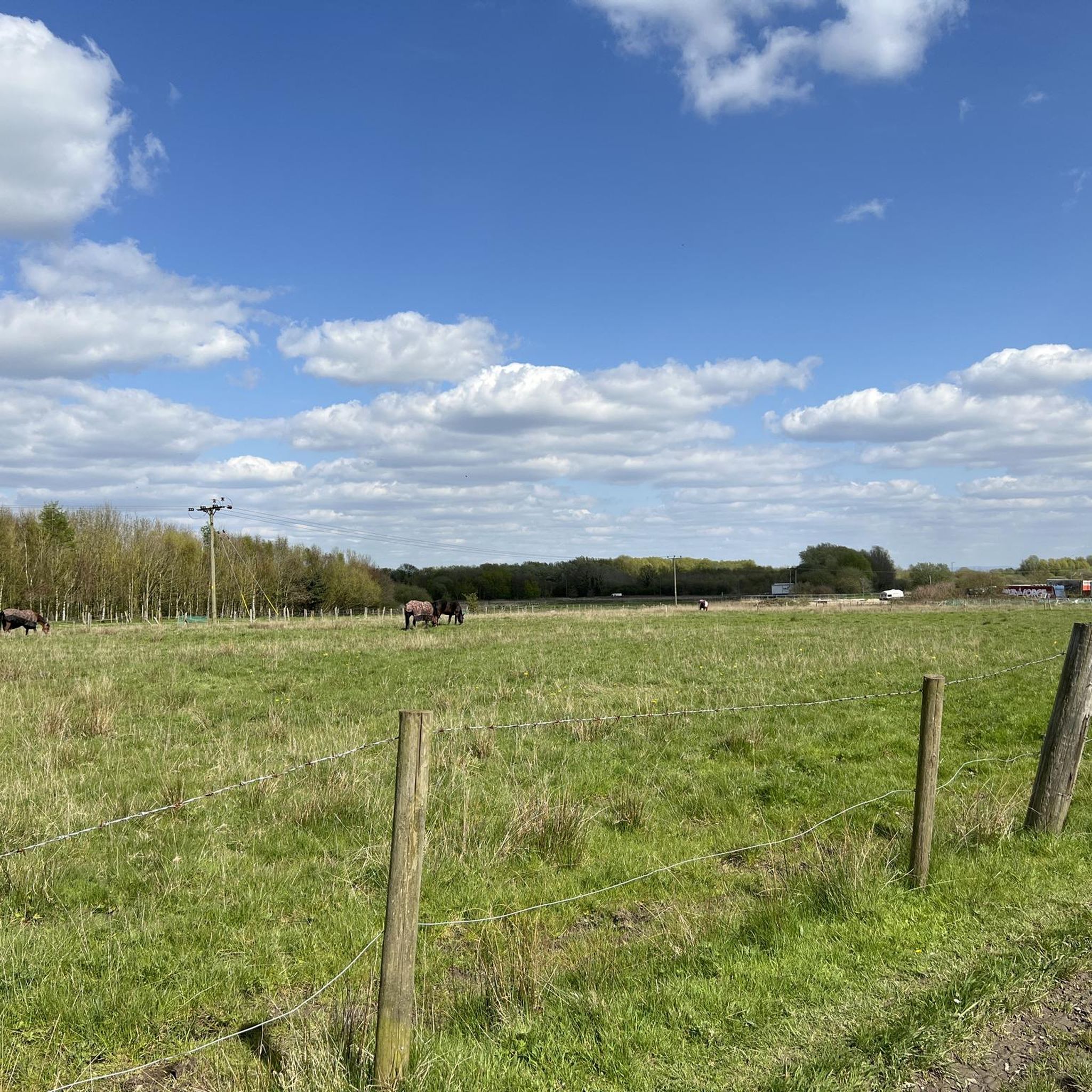
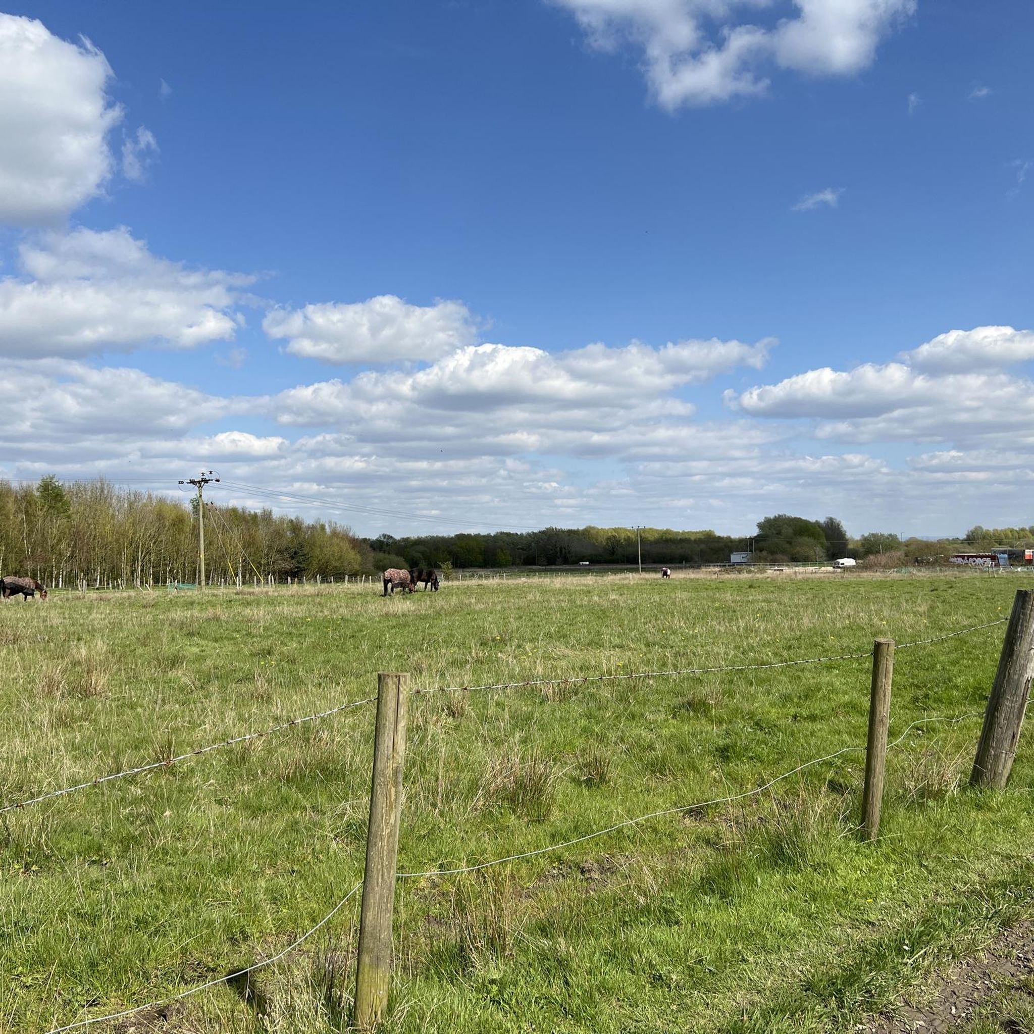
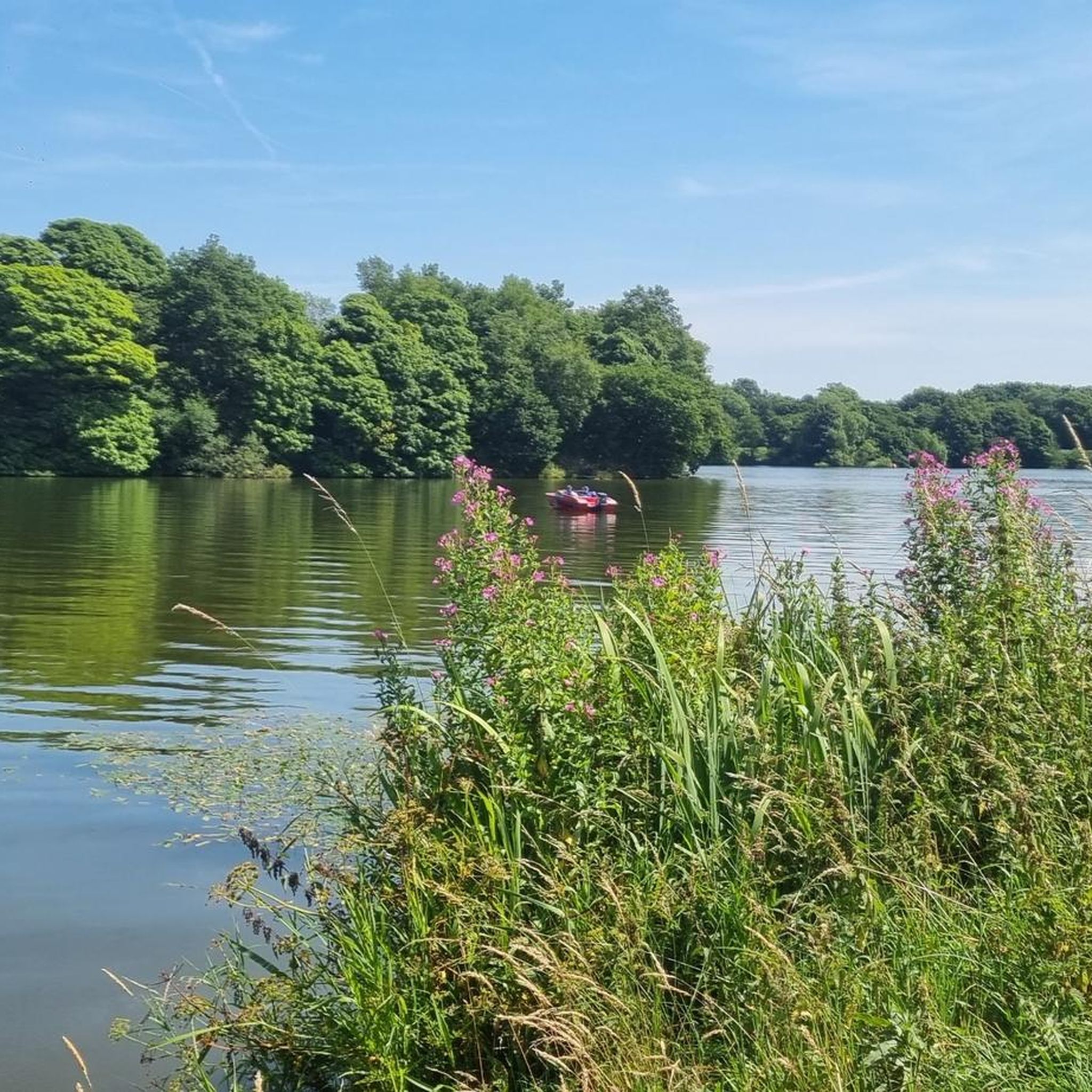
Tips from the Community

This is the top of Crank Hill at Crank Village - it is not the highest point in Merseyside - that is the top of Billinge Hill which is a short distance away. Crank Hill is a nice little climb past Fairfield Hospital - the climb is relatively short but is a consistent ramp which will definitely give your lungs a bit of a workout.
0
0

Alma Field 168.8m P16.4 (554ft) (Hill ID: 510324) [JNSA s13345] County of Lancashire Definitive List summit.
0
0

This Station was opened on 1st December 1869 by the Lancahire Union Railway.
0
0

A nature reserve and coarse fishery, Orrell Water Park is open all-year round for residents, visitors and day ticket fishing. Beautiful woodland surrounds two disused reservoirs and is home to a diverse group of birds and insects, with over 100 bird species and a wide variety of butterflies, dragonflies and damselflies recorded. Trying to have a break or eat a sandwich is impossible here due to the ducks, geese and swans all trying to get to your food. A beautiful place with a coffee shop at the top which sells a few cakes etc but no toilets.
0
0
Good stretch of road in farmland, quite and a good place to enjoy your sprint workout.
0
0
Not bad, nice little climb to get the heart pumping
0
0
It's a wonderful hill that takes you to the highest place in Liverpool, known as the CRANK once you have been up Red Cat Lane 9% you take a left on to Shaley Brow if you carry on past Pimbo Road keep going straight it starts ramping up quick the after you pass the golf course that when you hit 10% and then 14%. You won't be able to see the top, but once you go around the right-hand bend, it gers easier, and once to see the silver gate, you know you've completed it.
1
0
Frequently Asked Questions
How many road cycling routes are available around Billinge Chapel End?
Billinge Chapel End offers a wide selection of road cycling routes, with over 330 routes available. These cater to various preferences, from easy rides to more challenging ascents.
What are the typical difficulty levels for road cycling routes in this area?
The routes around Billinge Chapel End cater to a range of abilities. You'll find over 140 easy routes, more than 180 moderate options, and a few challenging routes for experienced cyclists. The terrain includes quiet country lanes and significant climbs like Billinge Hill.
Are there any family-friendly road cycling routes in Billinge Chapel End?
Yes, there are numerous easy road cycling routes suitable for families. Many routes feature quiet country lanes and less elevation, providing a pleasant experience. For example, the Views from Crank Road – Pimbo Lane loop from Orrell is an easy 13-mile ride through scenic lanes.
What scenic viewpoints or natural attractions can I discover while road cycling?
Road cycling in Billinge Chapel End offers access to several scenic spots. The most prominent is Billinge Hill, the highest point in Merseyside, providing panoramic views stretching to Snowdonia and the Peak District on clear days. You can also explore areas like Orrell Water Park, or pass by the community woodland at Fir Tree Farm. For a historical landmark, the Billinge Hill Tower is also a notable sight.
Are there any routes that feature lakes or water bodies?
Yes, several routes pass near or offer views of local water bodies. Scotman's Flash and Carr Mill Dam are notable lakes in the vicinity, often accessible via canal towpaths which can be incorporated into rides. Orrell Water Park also features two reservoirs.
What do other road cyclists enjoy most about road cycling in Billinge Chapel End?
The area is highly rated by the komoot community, with an average score of 4.6 stars from over 110 reviews. Cyclists often praise the diverse terrain, from challenging climbs like Billinge Hill to quiet country lanes, and the expansive views from elevated points.
Are there any long-distance road cycling routes available?
While many local routes are shorter, the region's extensive network of quiet country lanes allows for longer rides. The Billinge Hill Climb – Pimbo Lane loop from Orrell is a moderate 31.9-mile route, offering a significant distance with elevation gain. The broader Lancashire Cycleway also features two roughly 130-mile loops for those seeking multi-day adventures.
Are there circular road cycling routes in the area?
Yes, most of the road cycling routes around Billinge Chapel End are designed as circular loops, allowing you to start and finish at the same point. Examples include the Views from Crank Road – Billinge Hill Climb loop from Garswood and the Long Heys Lane Anstieg – Good Road Surface loop from Orrell.
What is the best time of year for road cycling in Billinge Chapel End?
The area is enjoyable for road cycling throughout much of the year. Spring and summer offer pleasant weather for exploring the quiet country lanes and enjoying the panoramic views. Autumn brings beautiful foliage, while winter rides are possible, though conditions on higher ground like Billinge Hill may require more caution.
Are there any urban parks or green spaces nearby that can be incorporated into a ride?
Yes, Bankes Park in Billinge is an urban park with views towards Billinge Beacon. Additionally, the nearby Haigh Woodland Park offers cycling paths and extensive grounds that can be explored, providing a mix of urban and natural environments.
Where can I find information about public transport options to reach road cycling routes?
While specific public transport links to individual trailheads vary, the region is served by local bus networks. For routes starting from towns like Orrell or Garswood, local bus services may provide access. It's advisable to check local transport schedules for the most up-to-date information on routes and bike carriage policies.
Are there any routes that offer a good road surface for cycling?
Many routes in Billinge Chapel End utilize quiet country lanes, which generally offer well-paved surfaces suitable for road cycling. The Long Heys Lane Anstieg – Good Road Surface loop from Orrell is specifically noted for its good road conditions, ensuring a smooth ride.
Most popular routes around Billinge Chapel End
Most popular attractions around Billinge Chapel End

Get inspired with the komoot mobile app


Explore more
Browse the best Road cycling routes in other regions.
