The best cycling routes around Burnbank
4.3
(242)
2,013
riders
161
rides
Touring cycling routes around Burnbank traverse a landscape characterized by the River Clyde, open rural roads, and lochside paths. The area features a mix of relatively flat sections along waterways and gentle ascents on country lanes. Elevation changes are generally moderate, making it suitable for various cycling abilities.
Best touring cycling routes around Burnbank
- The most popular touring cycling route is Hamilton Mausoleum – Strathclyde Loch loop from Hamilton West, a 11.6 miles (18.7 km) trail that takes 1…
Last updated: October 8, 2026
3.8
(14)
147
riders
42.5km
02:35
250m
250m
Moderate bike ride. Good fitness required. Mostly paved surfaces. Suitable for all skill levels.
5.0
(4)
67
riders
23.7km
01:31
210m
210m
Moderate bike ride. Good fitness required. Mostly paved surfaces. Suitable for all skill levels.

5.0
(2)
31
riders
19.0km
01:17
180m
180m
Moderate bike ride. Good fitness required. Mostly paved surfaces. Suitable for all skill levels.
4.6
(8)
20
riders
66.2km
04:00
350m
350m
Moderate bike ride. Good fitness required. Mostly paved surfaces. Suitable for all skill levels.
3.0
(3)
18
riders
47.4km
02:54
320m
320m
Moderate bike ride. Good fitness required. Mostly paved surfaces. Suitable for all skill levels.
Get access to more routes and recommendations from other explorers.
Already have an account?
Our route recommendations are based on thousands of hikes, rides, and runs completed by other people on komoot.
Start today with a free account
Your next adventure awaits.



Tips from the Community

Bridge over the Clyde for pedestrians and two-wheelers
1
0

“Strathclyde Loch is more than just water: beneath its surface, Bothwellhaugh, a mining village swept away in the 1970s, vanished. Today, only a cairn remains as a reminder of the houses, schools, and shops. There's also a Roman fort and an ancient road (yes, Watling Street is still here). Final warning: In 2012, a norovirus outbreak left 57 swimmers unconscious. Water caution.
0
0

Impressive church building with a very beautiful wooden ceiling!
0
0

Bell's Bridge is, for me, the most beautiful and interesting pedestrian and bicycle bridge... simply an architectural masterpiece... unfortunately, we didn't see the bridge being swung open to allow boat passage.
0
0

St. Andrew's Cathedral in Glasgow is a stunning example of Gothic architecture and a significant religious landmark in the city. This imposing building boasts tall spires, detailed stonework, and an elegant façade that can be seen from miles around. Upon entering, visitors are transported to a serene, reverent atmosphere, conducive to reflection and contemplation. The interior of the cathedral is equally impressive, with ornate stained glass windows, a magnificent organ, and an atmosphere of worship. Its historical significance and intricate design make it a truly special visit. St. Andrew's Cathedral is not only a place of worship but also a cultural gem that reflects Glasgow's rich history. For visitors interested in architecture, history, or religious art, the cathedral is definitely worth a visit. Overall, St. Andrew's Cathedral is a beautiful and inspiring place that beautifully embodies the spiritual and cultural soul of the city.
2
0

A Church of Scotland church consecrated in 1197 with post-war stained glass windows.
1
0

Certain times of the year there are posts to tell you to keep dogs out water because of the algae
0
0

The Orion Bridge in Cambuslang was built to connect Cambuslang to Tollcross. It was designed by Crouch and Hogg and features steel lattice trusses supported by masonry piers. It was initially linked to the nearby Clydebridge Steel Works. Though bypassed in the 1970s due to increasing traffic loads, it still serves local traffic today.
1
0
Frequently Asked Questions
How many touring cycling routes are available around Burnbank?
Burnbank offers a wide selection of touring cycling routes, with over 180 different options available for exploration. These routes cater to various skill levels, from easy to more challenging rides.
Are there easy touring cycling routes suitable for beginners in Burnbank?
Yes, Burnbank has a good selection of easy touring cycling routes. There are 57 routes specifically rated as easy, making them ideal for beginners or those looking for a relaxed ride. These often feature relatively flat sections along waterways and gentle country lanes.
What are some longer touring cycling routes for a full day out in Burnbank?
For a longer day out, consider the Clyde Walkway Cycle Path – Glasgow Green loop from Hamilton West. This moderate 29.3-mile (47.2 km) route follows the scenic Clyde Walkway, offering riverside views and urban parkland, typically taking around 2 hours 54 minutes to complete.
Are there any challenging touring cycling routes in Burnbank?
Yes, for experienced touring cyclists seeking a challenge, Burnbank offers 29 difficult routes. One such route is the View of the Airfield – Rural Road to Strathaven loop from Hamilton West, a 28.8-mile (46.4 km) trail with significant elevation changes, often completed in about 2 hours 57 minutes.
What kind of scenery can I expect on touring cycling routes in Burnbank?
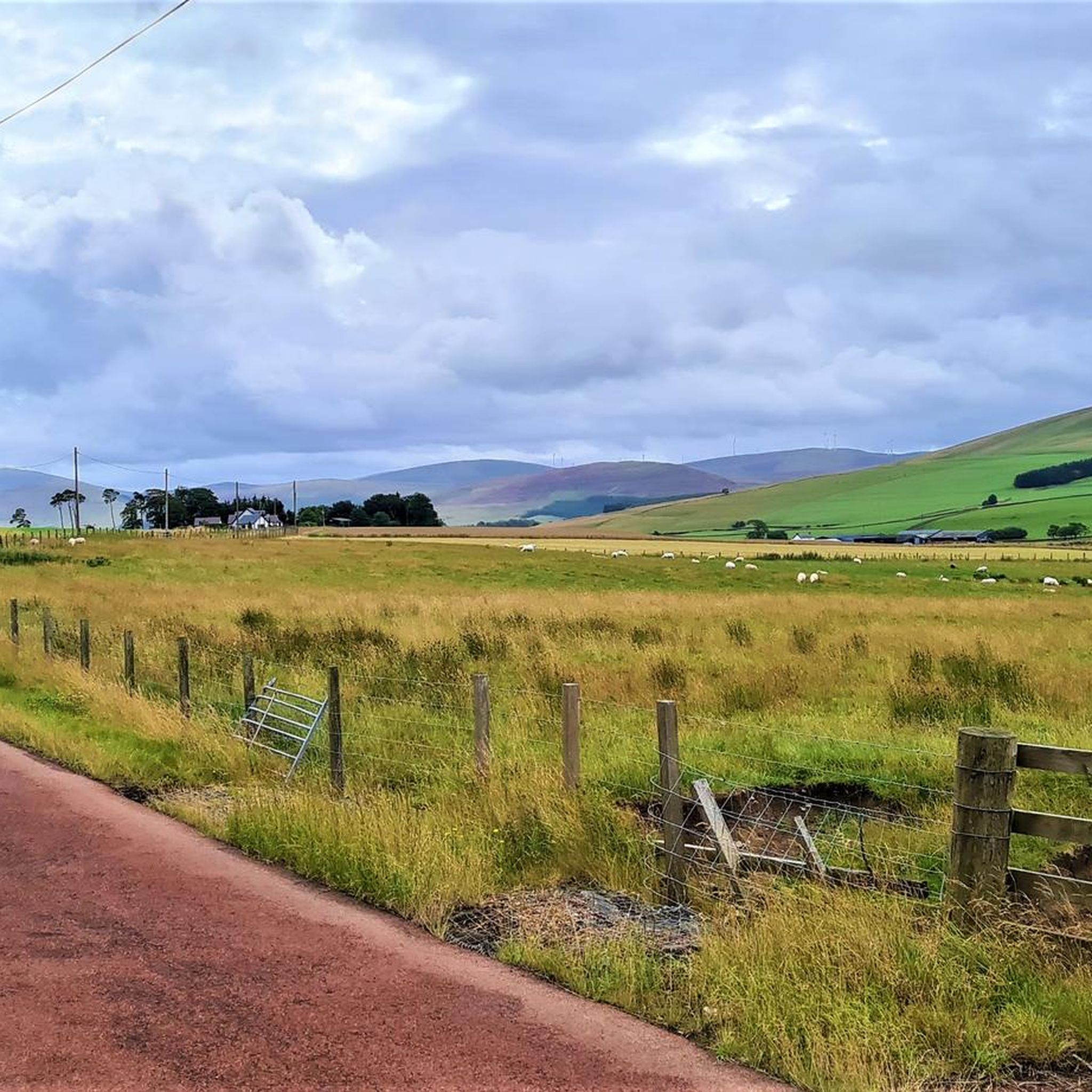
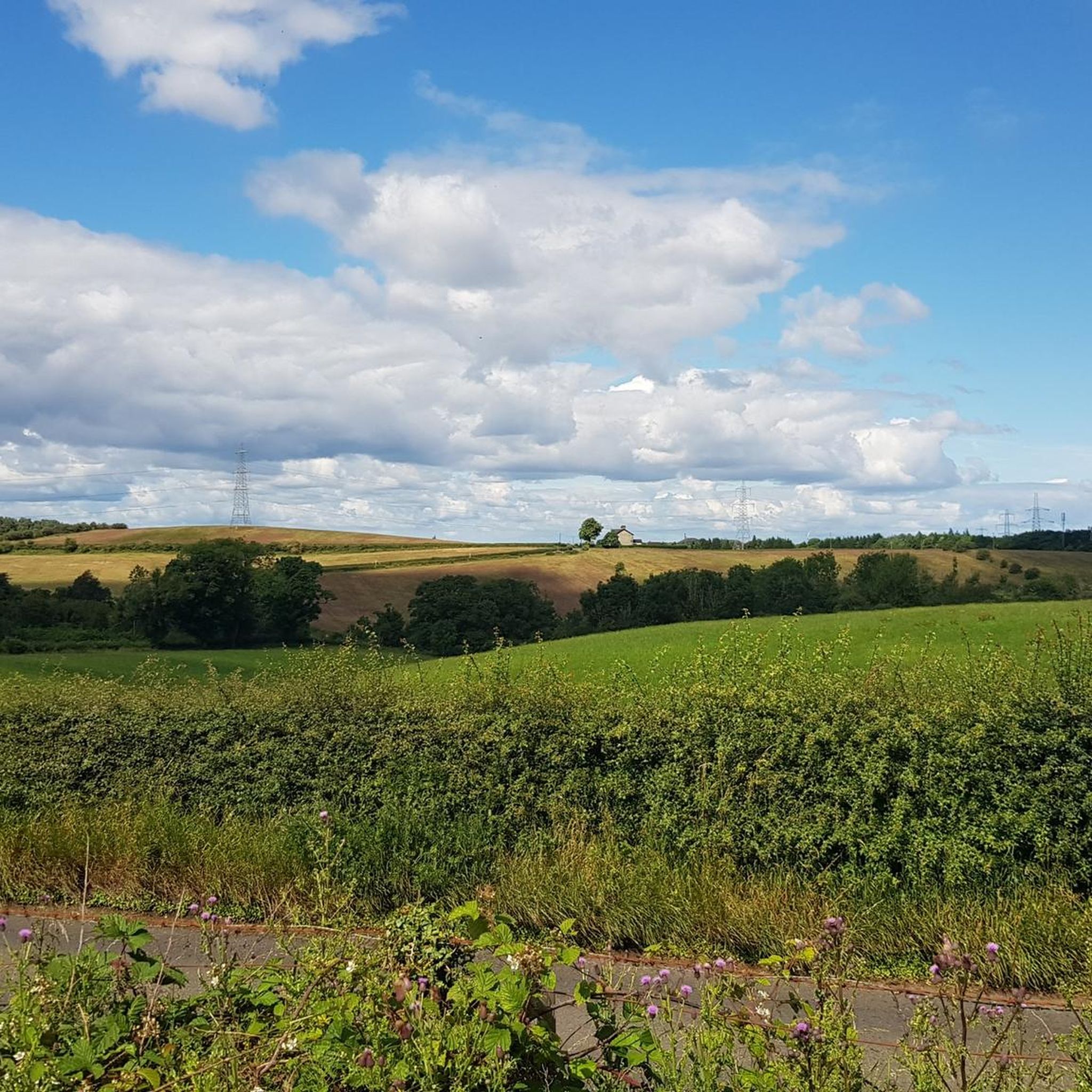
Touring cycling routes around Burnbank showcase a diverse landscape. You can expect to cycle along the River Clyde, through open rural roads, and beside lochside paths. The area features a mix of relatively flat sections and gentle ascents, providing varied scenery from natural waterways to countryside vistas.
Are there circular touring cycling routes available in Burnbank?
Many of the touring cycling routes in Burnbank are designed as loops, offering convenient circular journeys. For example, the popular Hamilton Mausoleum – Strathclyde Loch loop from Hamilton West is an 11.6-mile (18.7 km) moderate route that provides views of Strathclyde Loch and historical landmarks.
What attractions or landmarks can I see along the touring cycling routes?
Several routes pass by interesting landmarks and natural features. You might encounter places like Strathclyde Loch, the historic Bothwell Castle, or the Duke's Monument. The Dalmarnock Smart Bridge – Orion Bridge, Cambuslang loop from Hamilton West also offers urban points of interest.
What do other touring cyclists say about the routes in Burnbank?
The touring cycling routes in Burnbank are highly regarded by the komoot community, holding an average rating of 4.4 stars from over 200 reviews. Cyclists often praise the varied terrain, well-maintained paths, and the scenic beauty of the riverside and rural sections.
Are there any routes that offer views of lakes or lochs?
Yes, several routes provide picturesque views of local lochs. The Hamilton Mausoleum – Strathclyde Loch loop from Hamilton West specifically features views of Strathclyde Loch. Other nearby bodies of water include Lochend Loch and Bishop Loch, which may be accessible via other routes.
What is the best time of year for touring cycling in Burnbank?
The best time for touring cycling in Burnbank is generally from spring through early autumn (April to October). During these months, the weather is typically milder, and the paths are in optimal condition. While cycling is possible year-round, winter can bring colder temperatures and potentially wet or icy conditions.
Are there any routes that explore the rural countryside?
Absolutely. Many routes delve into the rural countryside surrounding Burnbank. For instance, the Rural Road to Strathaven – View of the Airfield loop from Hamilton West is a 26.7-mile (42.9 km) moderate route that takes you through open fields and quiet country lanes, offering a peaceful cycling experience.
Most popular attractions around Burnbank

Get inspired with the komoot mobile app


Explore more
Browse the best Cycling routes in other regions.
