The best running trails around Maxton And Mertoun
4.6
(13)
1,568
runners
201
runs
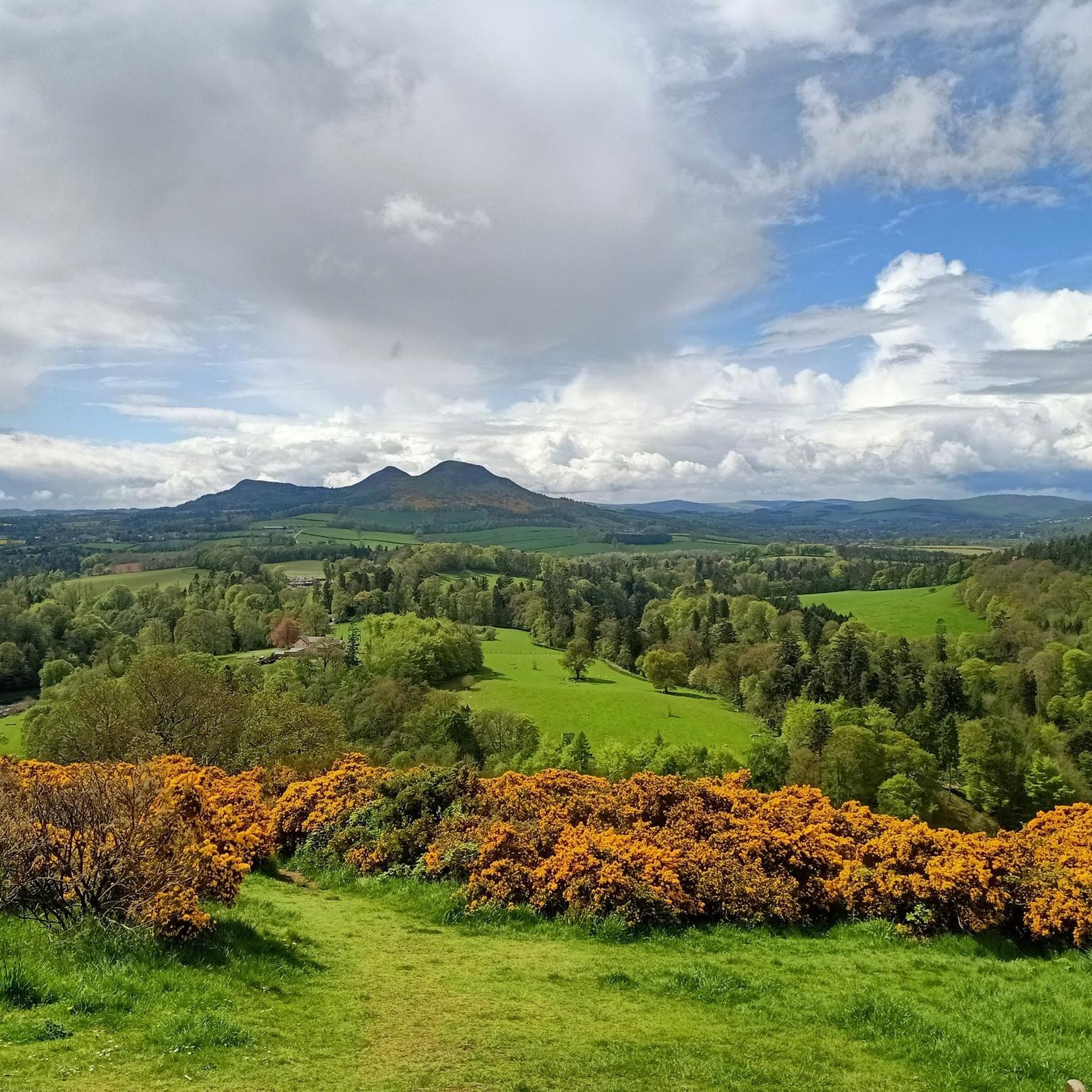
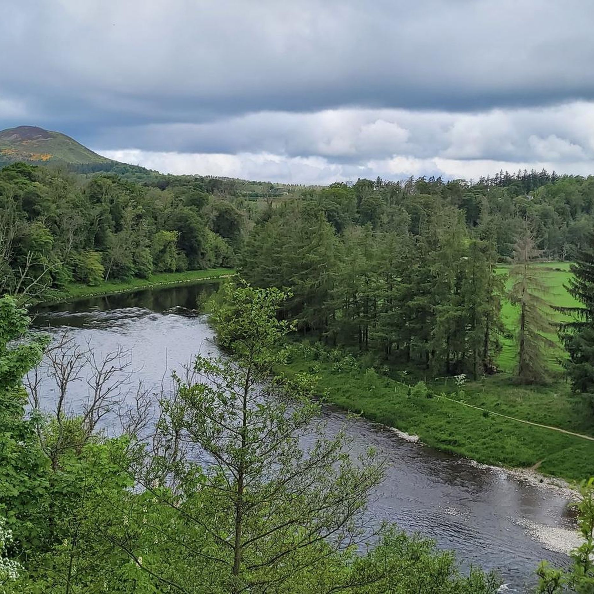
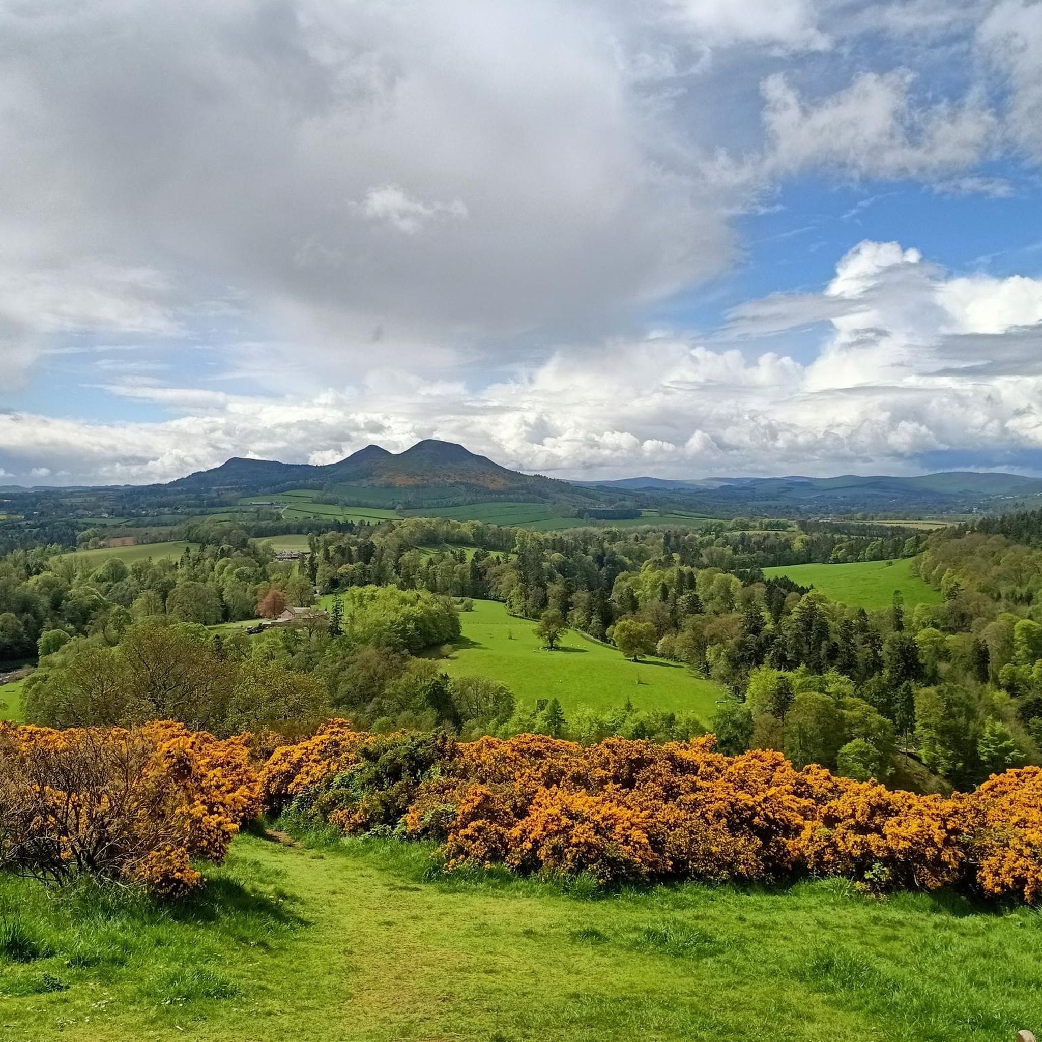
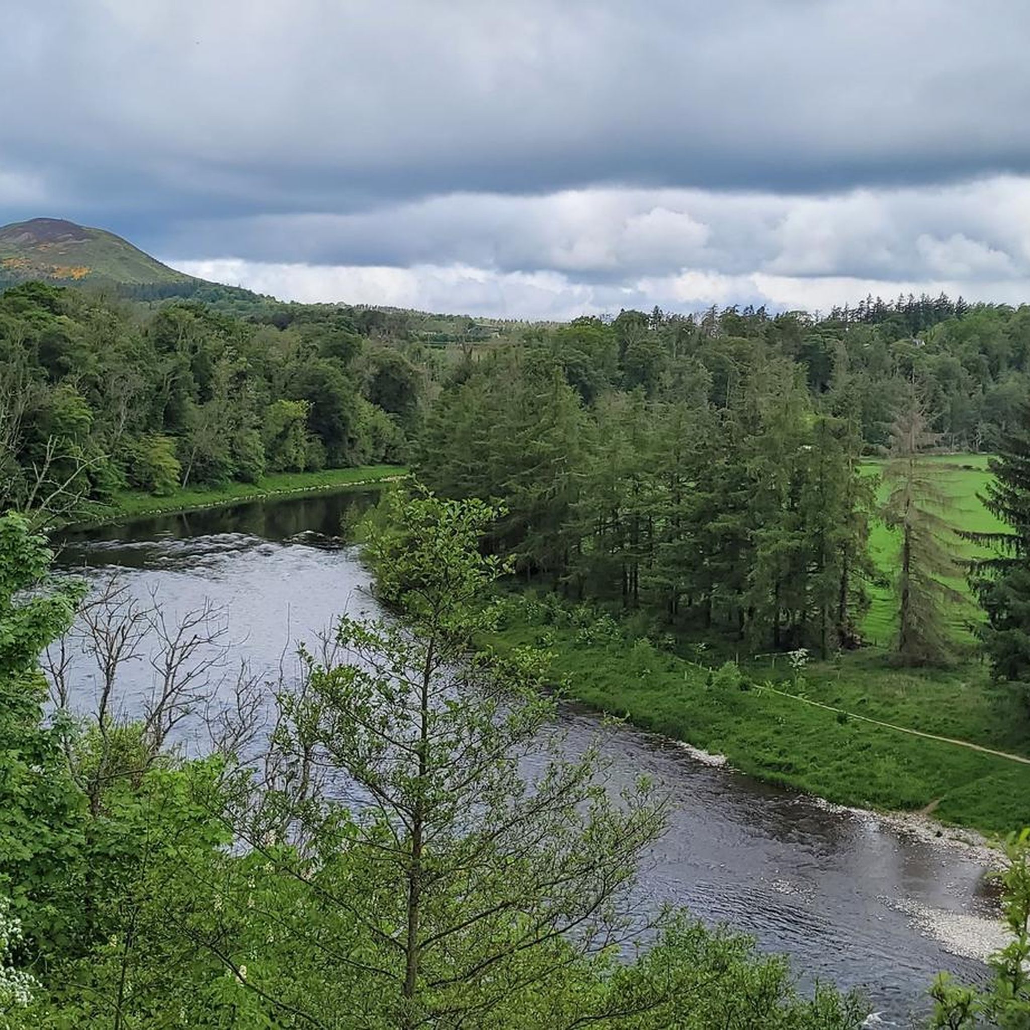
Jogging around Maxton And Mertoun offers a variety of routes through the Scottish Borders landscape. The region features a mix of riverside paths, rolling hills, and historical landmarks. Running routes often follow the River Tweed and its tributaries, providing relatively flat sections alongside more undulating terrain. The area is characterized by its green pastures and occasional woodlands, with some routes incorporating views of viaducts and bridges.
Best jogging routes around Maxton And Mertoun
- The most popular jogging route is Drygrange…
Last updated: July 8, 2026
36
runners
9.13km
00:58
130m
130m
Moderate run. Good fitness required. Mostly paved surfaces. Suitable for all skill levels.
19
runners
28.0km
03:21
570m
570m
Hard run. Very good fitness required. Mostly paved surfaces. Suitable for all skill levels.

Sign up for free
4.0
(1)
17
runners
5.62km
00:36
40m
40m
Moderate run. Good fitness required. Mostly paved surfaces. Suitable for all skill levels.
16
runners
12.7km
01:24
130m
130m
Moderate run. Good fitness required. Mostly paved surfaces. Suitable for all skill levels.
8
runners
15.3km
01:39
150m
150m
Hard run. Very good fitness required. Mostly paved surfaces. Suitable for all skill levels.
Get access to more routes and recommendations from other explorers.
Sign up for free
Already have an account?
Our route recommendations are based on thousands of hikes, rides, and runs completed by other people on komoot.
Start today with a free account
Your next adventure awaits.
Login or Signup
Tips from the Community


Here it goes up and down, over hill and dale, tree roots, rhubarb, some simple bathing spots, stairs, bridges... Good footwear is necessary, then it's fun
1
0
The Orchard Gate, built by the Earl of Buchanan around 1811 – the Middle Ages were long gone! It's essentially a folly... a building without a purpose, simply the entrance to the orchard. The Earl dedicated it to his beloved parents – so says the Latin inscription.
1
0
Quite a pretty bridge for cars. No footpath! You have to walk on the road here! Steep steps lead up from the river.
1
0

this exists irl and it did not collapse when we cycled over it. it made an interesting and exciting noise as we rode across
0
0

From a distance, the roof of the building, which stands on a small hill, and the striking red columns shimmer through the trees. The architecture could indicate a small round temple or a pavilion. As you get closer, you can see people inside - no, there are statues placed there! "THE MUSE OF NATURE" is the title of the work of art.
0
0
From a distance, the roof of the building, which stands on a small hill, and the striking red columns shimmer through the trees. The architecture could indicate a small round temple or a pavilion. As you get closer, you can see people inside - no, there are statues placed there! "THE MUSE OF NATURE" is the title of the work of art.
0
0
Frequently Asked Questions
How many running routes are available in Maxton And Mertoun?
Maxton And Mertoun offers a wide selection of running routes, with over 200 trails to explore. These range from easy paths to more challenging runs, catering to various fitness levels.
Are there any easy or beginner-friendly jogging routes in the area?
Yes, there are 21 easy running routes suitable for beginners or those looking for a more relaxed pace. These trails typically feature gentler terrain and shorter distances, perfect for a leisurely jog.
What kind of scenery can I expect on the jogging trails around Maxton And Mertoun?
The running routes in Maxton And Mertoun offer diverse scenery, including riverside paths along the River Tweed, rolling hills, and open countryside. You'll also find occasional woodlands and views of historic landmarks like viaducts and bridges.
Are there any circular running routes in Maxton And Mertoun?
Many of the running routes in Maxton And Mertoun are circular, allowing you to start and finish in the same location. For example, the Crystal Well Pump House – Mertoun Bridge loop from St Boswells is a moderate 12.7 km circular route.
What are some notable landmarks or attractions I might see while running?
You can encounter several interesting landmarks. The Drygrange Old Bridge – Leaderfoot Viaduct loop from Newstead offers views of historic bridges and the River Tweed. Other attractions in the wider area include Melrose Abbey and the impressive Leaderfoot Viaduct.
Are there any challenging running routes with significant elevation gain?
Absolutely. For those seeking a challenge, routes like the Dryburgh Suspension Bridge – Eildon Hill North loop from Maxton offer significant elevation gain and panoramic views from the Eildon Hills. There are 49 difficult routes in total.
What do other runners say about the trails in Maxton And Mertoun?
The running routes in Maxton And Mertoun are highly regarded by the komoot community, with an average rating of 4.6 stars from over 10 reviews. Runners often praise the varied terrain, scenic views, and the mix of riverside paths and rolling hills.
Is Maxton And Mertoun suitable for family-friendly jogging?
While specific 'family-friendly' routes aren't explicitly tagged, the 21 easy routes available are generally suitable for families. These shorter, flatter options provide a good starting point for jogging with children, allowing everyone to enjoy the outdoors.
Can I bring my dog on the running trails?
Many trails in the Scottish Borders are dog-friendly, but it's always best to check local signage and be mindful of livestock, especially in rural areas. Keeping your dog on a lead is often recommended to ensure safety for both your pet and wildlife.
What is the best time of year to go jogging in Maxton And Mertoun?
Spring and autumn often offer the most pleasant conditions for jogging in Maxton And Mertoun, with milder temperatures and beautiful scenery. Summer can be lovely, but be prepared for warmer weather, while winter runs can be invigorating, though some paths might be muddy or icy.
Are there any routes that offer great viewpoints?
Yes, several routes provide excellent viewpoints. The Dryburgh Suspension Bridge – Eildon Hill North loop from Maxton, for instance, offers panoramic views from the Eildon Hills. You can also find great vistas from Eildon Hill North and Eildon Mid Hill Summit.
How long do the running routes typically take to complete?
Running route durations vary significantly depending on the distance and difficulty. Shorter, easier routes like the Running loop from St Boswells can be completed in about 35 minutes, while longer, more challenging trails might take several hours.
Most popular routes around Maxton And Mertoun
Most popular attractions around Maxton And Mertoun

Get inspired with the komoot mobile app


Explore more
Browse the best Running Trails & Routes in other regions.
