The best MTB trails in the Grampian Mountains
4.5
(1743)
21,378
riders
945
rides
Mountain biking in the Grampian Mountains offers diverse terrain across one of Scotland's major mountain ranges. The landscape is characterized by rugged, glaciated features, including deep glens, dramatic corrie-cliffs, and numerous lochs. This region features extensive trail networks through metamorphic and igneous rocks like granite and schists, providing varied riding surfaces. It encompasses parts of Cairngorms National Park and Loch Lomond & The Trossachs National Park, with many high mountains.
Best mountain bike trails in the Grampian Mountains
- The most popular mountain bike trail is From Ballater to Heartbreak Ridge and Tullich Descent, a 16.0 miles (25.7 km) trail that takes 2 hours 55 minutes to complete. This difficult route features remote riding and descents over rugged terrain.
- Another top favourite among local mountain bikers is Glenlivet Red Trail, a moderate 13.6 miles (21.9 km) path. This trail offers a mix of single-track and forest roads within the Glenlivet Estate.
- Local mountain bikers also love the From Ballater to Pannanich Hill and Heartbreak ridge loop – Cairngorms National Park, a 11.2 miles (18.0 km) trail leading through the Cairngorms National Park, often completed in about 1 hour 59 minutes.
- Mountain biking in the Grampian Mountains is defined by glaciated valleys, extensive forest tracks, and challenging mountain passes. The network offers options for various ability levels, from moderate forest trails to difficult technical descents.
- The routes in Grampian Mountains are highly rated by the komoot community with an average score of 4.5 stars from over 1700 reviews. More than 22000 mountain bikers have used komoot to explore Grampian Mountains's varied terrain.
Last updated: July 7, 2026
4.8
(45)
797
riders
25.7km
02:55
750m
750m
Prepare for a challenging mountain biking adventure on the "From Ballater to Heartbreak Ridge and Tullich Descent" route. This difficult trail covers 15.9 miles (25.7 km) and demands a significant effort, with 2458 feet (749 metres) of elevation gain. You will navigate a mix of singletrack, paths, and unpaved surfaces, experiencing the renowned Heartbreak Ridge section which transitions from flowy to rocky and slabby terrain, rich with granite. Expect stunning views from higher points like Pannanich Hill, offering scenic vistas over the surrounding hills.
This route starts conveniently from Ballater, a well-known hub for technical trail riding in Scotland. While no specific permits or seasonal closures are noted, you should be ready for demanding conditions, particularly on the technical descents. Plan for an estimated duration of 2 hours and 54 minutes; ensure you have the necessary advanced technical skills and good fitness before you set out.
As you ride, you will be immersed in the rugged beauty of Cairngorms National Park, potentially catching glimpses of iconic landmarks like Loch Muick and Balmoral Forest from various viewpoints. The Heartbreak Ridge itself is a black-graded trail, making this route a true test of your mountain biking prowess. This trail stands out in the region for its combination of challenging terrain and expansive, rewarding scenery.
4.9
(22)
729
riders
21.9km
02:11
450m
450m
The Glenlivet Red Trail offers a moderate mountain biking experience through the scenic Cairngorms National Park. You will cover 13.6 miles (21.9 km) and climb 1490 feet (454 metres) of elevation, typically taking about 2 hours and 10 minutes to complete. As you ride, you'll pass through varied terrain, from mixed woodlands to open areas, with the highlight being the panoramic views of the Grampian Mountains and the vast Glenlivet Estate from near the Càrn Diamh Summit.
This route is part of the Bike Glenlivet trail center, which provides clear one-way markings for easy navigation. Parking is readily available at the trail center, making it convenient to start your ride. The trails are well-maintained, ensuring a smooth and enjoyable outing for mountain bikers.
The Glenlivet Red Trail is designed to be engaging for experienced mountain bikers, offering a rewarding challenge within a beautiful natural setting. On clear days, a short spur trail near the summit leads to a full 360-degree viewpoint, showcasing the expansive beauty of the Cairngorms National Park. This makes the climbs well worth the effort, providing memorable vistas.

Sign up for free
4.8
(42)
662
riders
Embark on a challenging mountain biking adventure through the eastern Cairngorms National Park with the From Ballater to Pannanich Hill and Heartbreak Ridge loop. This difficult 11.2-mile (18.0 km) route demands advanced riding skills and good fitness, featuring a mix of technical singletrack, unpaved sections, and some road segments. You will climb 1442 feet (439 metres) and can expect to complete the loop in around 1 hour and 58 minutes, enjoying expansive views from Pannanich Hill overlooking Ballater and the Dee valley, alongside ancient forests and rugged peaks.
To tackle this hard-graded trail, especially the renowned Heartbreak Ridge, consider using a full-suspension enduro bike for comfort on technical descents, or an e-bike to make the significant climbs more manageable. Be prepared for varied terrain, including potential muddy or boggy sections in the woods, and technical trail features like drops, jumps, and rock gardens. Starting from Ballater, often called the "Gateway to the Cairngorms," you will find convenient amenities such as bike shops, pubs, and cafes to support your ride.
Heartbreak Ridge is a particularly notable segment of this loop, having been rated by MBR magazine as one of the Top 5 UK MTB Trails for its natural feel and technical challenges. Recent improvements by the Aberdeenshire Trails Association and CRC have enhanced the trail's flow and durability, while consciously preserving its wild Scottish mountain biking character. This loop offers a true test of skill and endurance, making it a popular choice for experienced riders seeking an authentic Cairngorms experience.
4.6
(10)
608
riders
13.7km
01:25
410m
410m
Get ready to mountain bike the Comrie Croft Trails loop, a moderate route that takes you through the Strathearn hills and woods. You will wind past oak woodlands and picturesque waterfalls, covering 8.5 miles (13.7 km) with a total elevation gain of 1338 feet (408 metres). This ride typically takes around 1 hour and 25 minutes to complete. Look for ancient Pictish standing stones along the way and enjoy the views from spots like Decision Rock, offering a true taste of the Scottish landscape.
Comrie Croft is designed for easy access, with a compact trail network where all routes lead back to a central hub. Here, you will find practical facilities including a cafe and a bike shop, making it convenient to prepare for your ride or relax afterward. Parking is readily available at this main hub, ensuring a smooth start and end to your mountain biking adventure.
This trail offers a distinctive mountain biking experience within Scotland's scenic Strathearn Valley. As you ride, keep an eye out for local wildlife, including the chance to spot red squirrels in their natural habitat. The route's natural feel and varied terrain make it a notable choice for exploring the Scottish landscape on two wheels.
4.5
(45)
246
riders
44.2km
03:55
720m
720m
Embark on the Burma Road loop in Cairngorms National Park, a challenging cross-country mountain biking adventure that spans 27.5 miles (44.2 km) with a significant 2348 feet (716 metres) of elevation gain. This route, typically completed in about 3 hours and 54 minutes, is graded as moderate but demands good fitness and skills due to its steep gravel climbs and rocky descents. As you ascend, you will be rewarded with spectacular panoramic views of the Cairngorm peaks, before dropping into the serene valley of the River Dunlain and passing through ancient forests.
Planning your ride on the Burma Road loop requires preparation for diverse terrain, including unpaved paths, gravel roads, and some forest singletrack. While the trail offers a sense of remoteness, it is well-connected to nearby towns like Aviemore and Carrbridge. Be ready for a tough, steep gravel ascent that can be around 3 miles long, testing even experienced riders. The descent also requires focus and control on loose and rocky sections, making it suitable for mountain bikes and gravel bikes alike.
This trail is a local classic and one of the best-known mountain biking routes in the Cairngorms, celebrated for its blend of demanding climbs and flowing countryside tracks. It offers a unique sense of solitude amidst wide Highland views and picturesque countryside. A notable historical landmark along the way is the 18th-century Sluggan Bridge, adding a touch of heritage to your ride. The Burma Road loop provides a memorable mountain biking experience in the Scottish Highlands.
5.0
(9)
490
riders
11.9km
01:13
270m
270m
Get ready for a moderate mountain biking adventure on the Laggan Wolftrax Red Trail, a route designed for those who enjoy technical singletrack. This 7.4-mile (11.9 km) journey will have you gaining 890 feet (271 metres) in elevation, typically taking around 1 hour and 12 minutes to complete. As you ride, the trail carves its way through Laggan Forest, revealing classic Highland panoramas with majestic mountains and lush forests. You'll encounter distinctive features like the Bhadain Boulder Field, adding a challenging element to your ride. The Upper Red Descent offers fun, flowing sections amidst the rugged landscape, providing a dynamic experience.
Planning your visit to the Laggan Wolftrax Red Trail is straightforward, as the dedicated Trail Centre offers comprehensive facilities to support your ride. You will find ample parking directly at the trail centre, making access easy. The centre also provides essential amenities such as a café for refreshments, clean toilets and showers, and a bike shop for any last-minute gear or repairs. If you need a bike, hire options are available on-site, ensuring you have everything you need for your mountain biking day.
This trail is nestled within the stunning Cairngorms National Park, a region renowned for its natural beauty and outdoor activities. The route offers a true taste of the Scottish Highlands, with its rugged terrain and expansive views of the Monadhliath hills. The Laggan Wolftrax Trail Centre itself is a well-established hub for mountain biking, making it a notable destination for riders seeking quality trails and convenient services in a spectacular setting.
4.7
(23)
152
riders
27.5km
02:47
700m
690m
Embark on the Glen Finglas Road to Meall Cala loop for a moderate mountain biking adventure through Loch Lomond and The Trossachs National Park. This route spans 17.1 miles (27.5 km) and includes a significant climb of 2281 feet (695 metres), which you can typically complete in about 2 hours and 46 minutes. You will cycle through beautiful pastoral farmland and wild glens, with expansive views of the Glen Finglas Reservoir. After a good ascent, a saddle opens up to a sweeping vista into a secluded valley beyond Meall Cala, offering moments of true solitude. The varied terrain, from smooth gravel roads to doubletrack and some singletrack, ensures an engaging ride.
Before you set out on this backcountry mountain biking route, be aware that sections are remote and exposed, meaning mobile phone reception can be intermittent. It is wise to carry all necessary supplies, as you will likely encounter only wildlife once you leave the main reservoir road. This trail serves as an excellent introduction to riding in more remote areas, so prepare accordingly for a self-sufficient journey.
This loop offers a unique blend of challenging riding and peaceful immersion in nature, making it a standout experience in the region. The journey takes you deep into wild glens, far from the usual crowds, providing a true sense of escape. You will find yourself surrounded by the natural beauty of the Trossachs, with the varied landscape keeping your ride interesting from start to finish. It is a great way to experience the park's less-traveled paths.
4.7
(18)
143
riders
23.8km
02:26
640m
640m
Embark on the Glen Finglas to Meall Cala loop for a challenging mountain biking adventure through Loch Lomond and Trossachs National Park. This moderate route spans 14.8 miles (23.8 km) with a significant 2097 feet (639 metres) of elevation gain, typically taking around 2 hours and 25 minutes to complete. You will ride on diverse terrain, from initial asphalt to good gravel roads and loose, rocky land rover tracks, all while enjoying views of picturesque glens, pastoral farmland, and the stunning Glen Finglas Reservoir.
Planning your visit requires good fitness and advanced riding skills, as the trail features substantial climbing with steep gradients that can reach 14.6% to 20%. The route is remote and exposed in parts, with no mobile phone reception, so ensure both you and your bike are in excellent condition before setting out from Brig o' Turk. Consider an e-bike if you prefer assistance on the climbs, which can be demanding.
This loop offers a true backcountry feel, providing peaceful solitude where you are more likely to encounter livestock and hillwalkers than other riders. It effectively circumnavigates Meall Cala, featuring highlights like the gorgeous Glen Meann climb and an exhilarating descent with sweeping bends. The option to ford the Finglas Water or use a bridge adds to the adventure, making it an excellent introduction to backcountry riding.
4.2
(18)
100
riders
24.7km
02:23
470m
470m
Embark on the Aberfoyle and Loch Venachar loop for a diverse mountain biking experience through Loch Lomond and The Trossachs National Park. This moderate route spans 15.4 miles (24.7 km) and includes a total elevation gain of 1556 feet (474 metres). You can expect to complete the ride in about 2 hours and 22 minutes, enjoying varied terrain from smooth forestry tracks to undulating trails with excellent views across Loch Venachar towards the Menteith Hills.
When planning your visit, be aware that the trail features a mix of gravel double and singletrack, alongside forestry roads. Some unpaved sections can become quite boggy and more challenging, especially after rain, so check conditions before you go. If you need equipment, bike hire is available from local centers near Loch Venachar, making it easy to get started on your adventure.
This loop offers a unique contrast between its two halves, with the southern side providing smoother riding on minor roads and forestry tracks. The northern section, following parts of the Great Trossachs Path, delivers more dynamic riding and offers distant views of Ben A'an's striking summit pyramid. It's a great way to explore the varied landscapes and scenic beauty of the Trossachs.
2.8
(9)
108
riders
55.2km
05:07
920m
920m
The Beinn a Ghlo, Falls of Tarf and Glen Tilt loop offers a challenging mountain biking experience in the Scottish Highlands. This difficult 34.3-mile (55.2 km) route, with 3019 feet (920 metres) of elevation gain, takes around 5 hours and 6 minutes to complete. You will navigate primarily unpaved estate roads, rough Land Rover tracks, and sections of singletrack, often rocky or boggy, with numerous stream crossings. The trail circumnavigates the Beinn a' Ghlo range, providing dramatic views of iconic peaks like Ben Vrackie and Schiehallion, and passes through native woodlands and expansive heather moorlands. A key visual landmark is the impressive Falls of Tarf, which you cross via a Victorian-era suspension bridge.
This loop is consistently rated as a difficult mountain bike ride, requiring a very good level of fitness and advanced riding skills. You should be prepared for considerable climbing, some of which is non-technical, but also steep, loose sections that may require you to push your bike. The singletrack sections can be demanding, with rocky surfaces and descents that demand concentration. While you might be tempted to ride clockwise, many riders recommend tackling the loop anti-clockwise to better enjoy the technical descents and the
Get access to more routes and recommendations from other explorers.
Sign up for free
Already have an account?
Our route recommendations are based on thousands of hikes, rides, and runs completed by other people on komoot.
Start today with a free account
Your next adventure awaits.
Login or Signup
Popular around Grampian Mountains
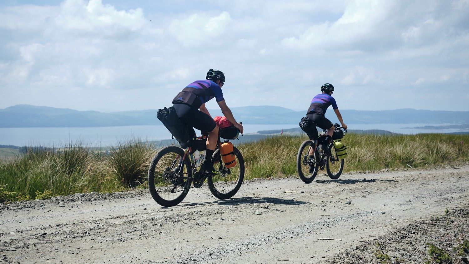
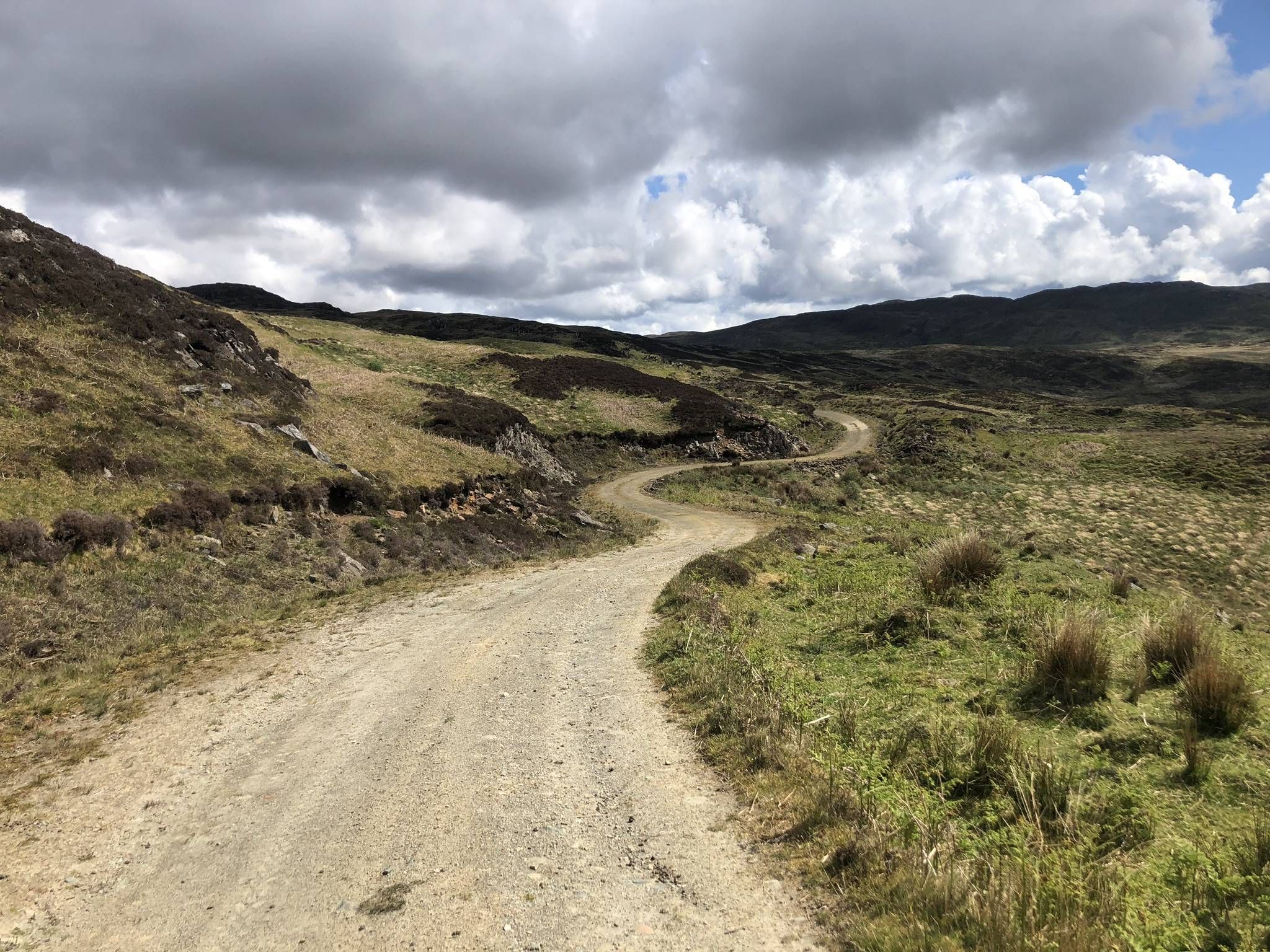
Wild About Argyll Trail — Bikepacking Scotland's lochs and coastline
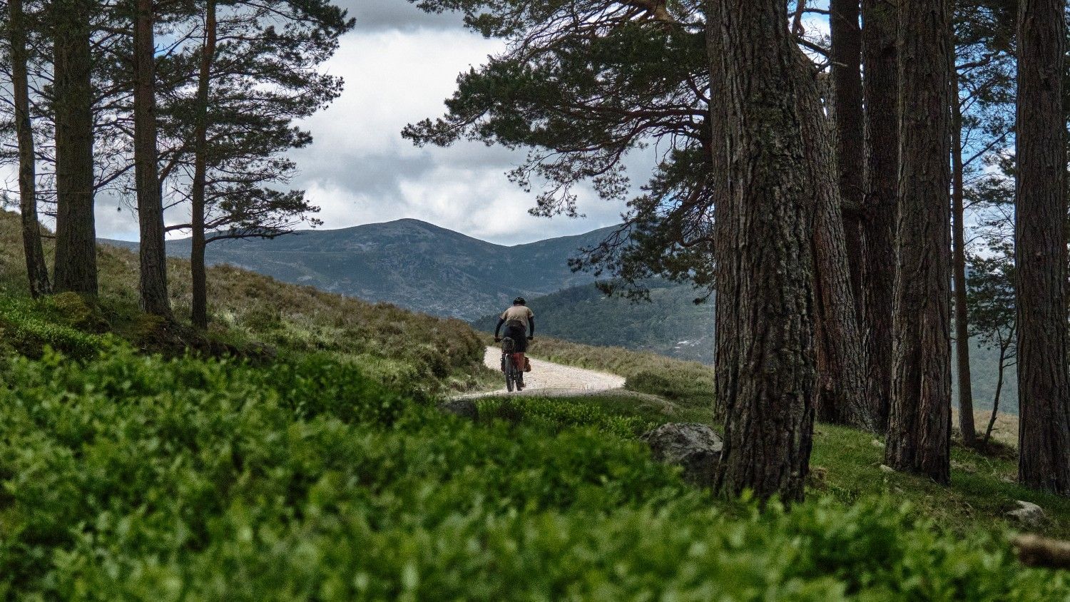
The Firetrail — Three days around the River Dee
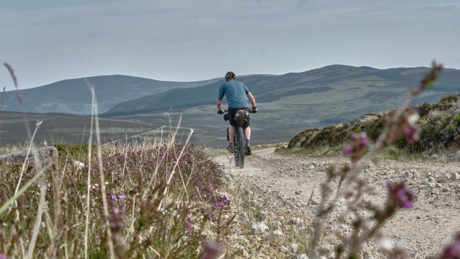
Adventures Around Aberdeenshire — Bikepacking moorland, forest and coast
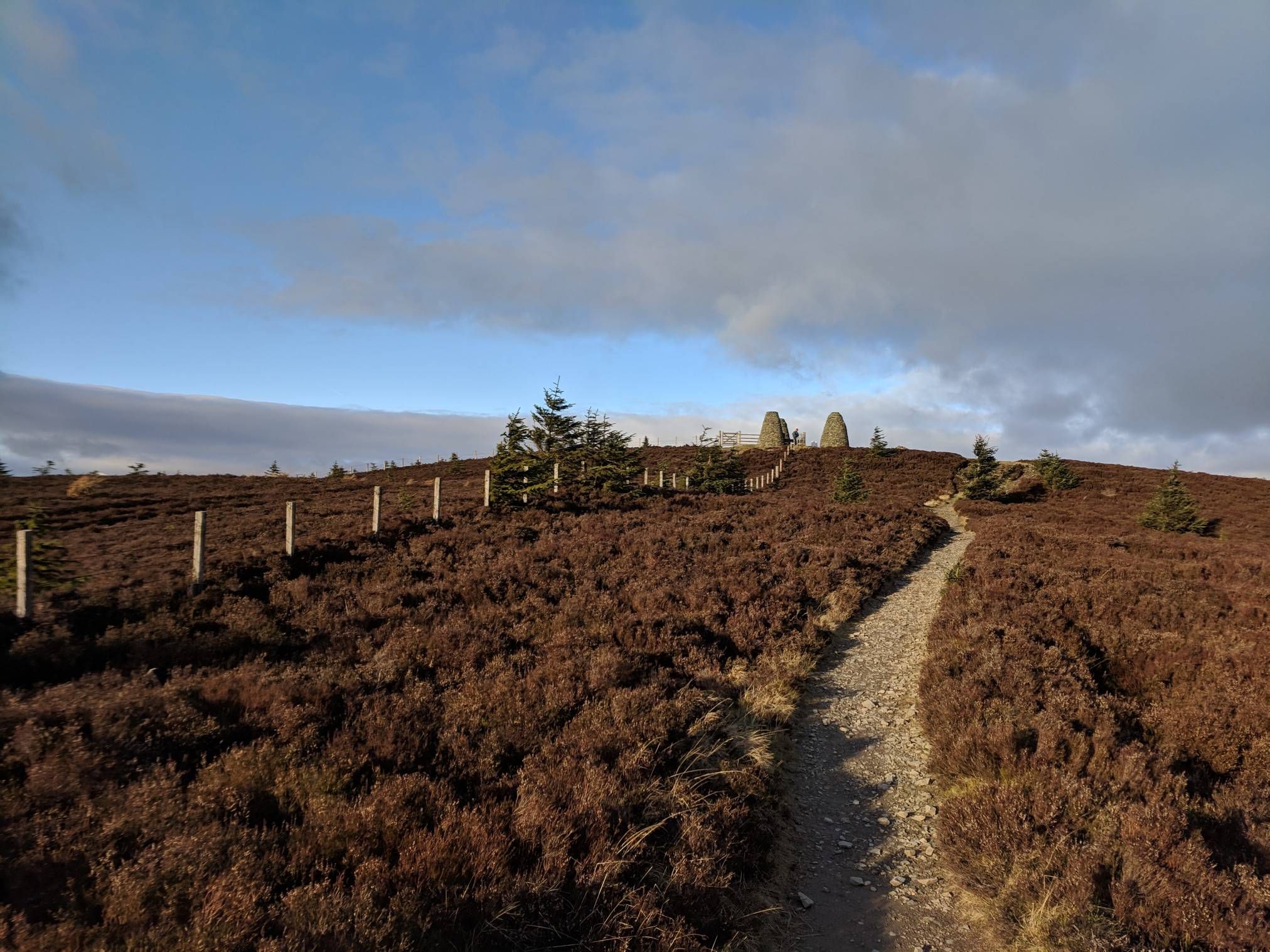
The Central Belter — Gravel trails of the coast and Cairngorms
The Faultline Trail — Scotland tip to tip
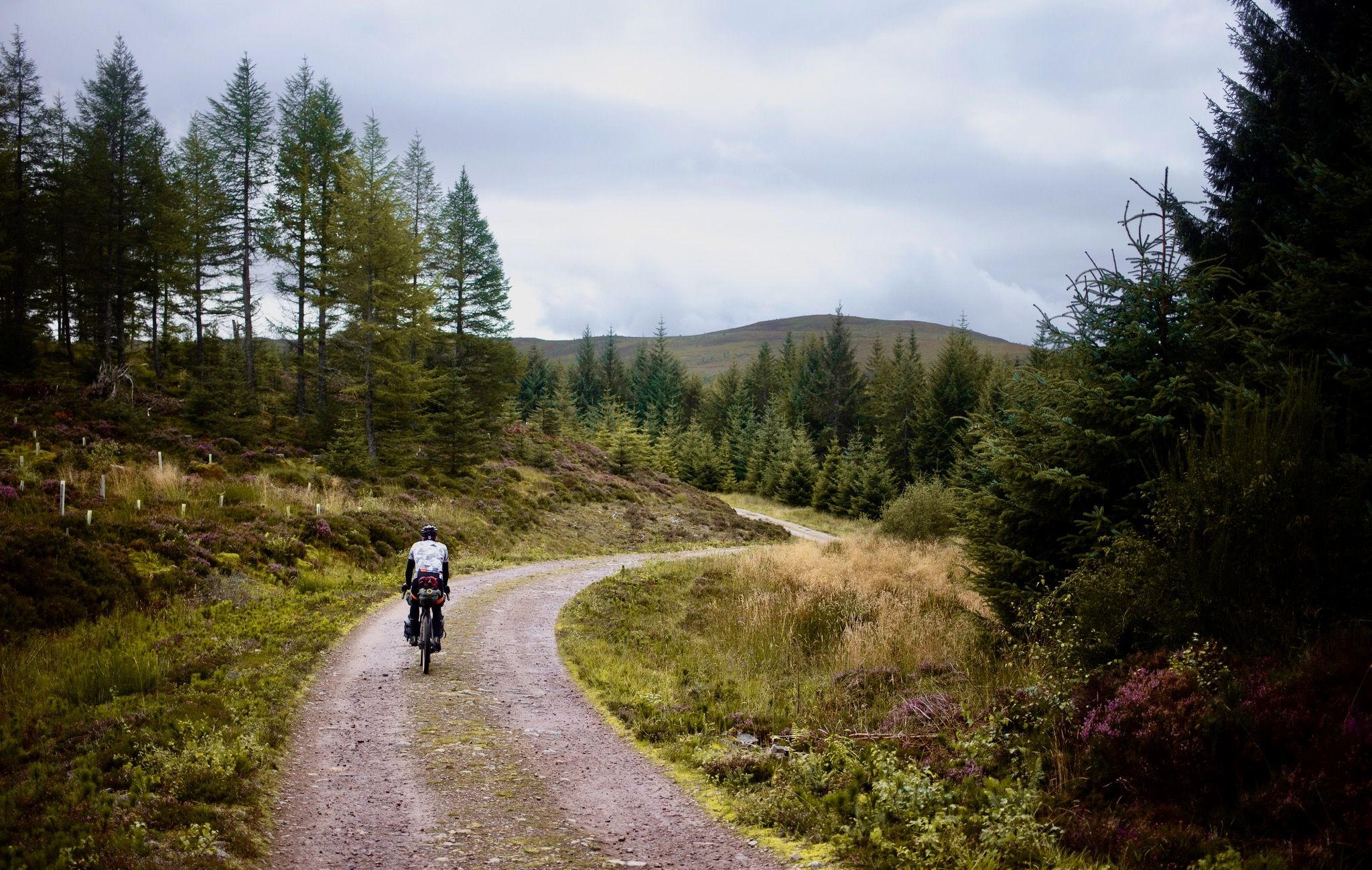
The Badger Divide — Lochs, bothies & the heart of the highlands
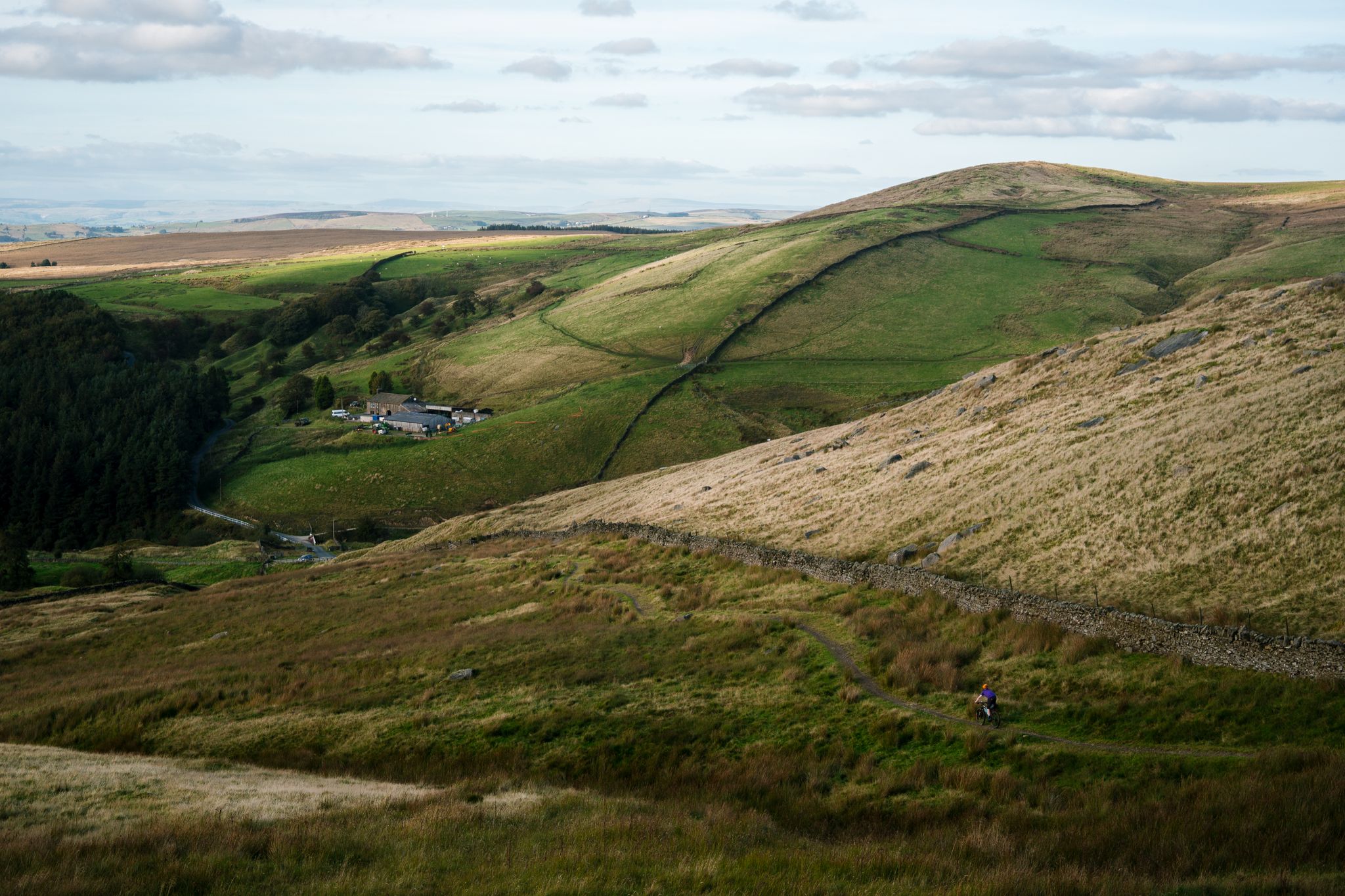
Great North Trail — From the Pennine Hills to the tip of Scotland
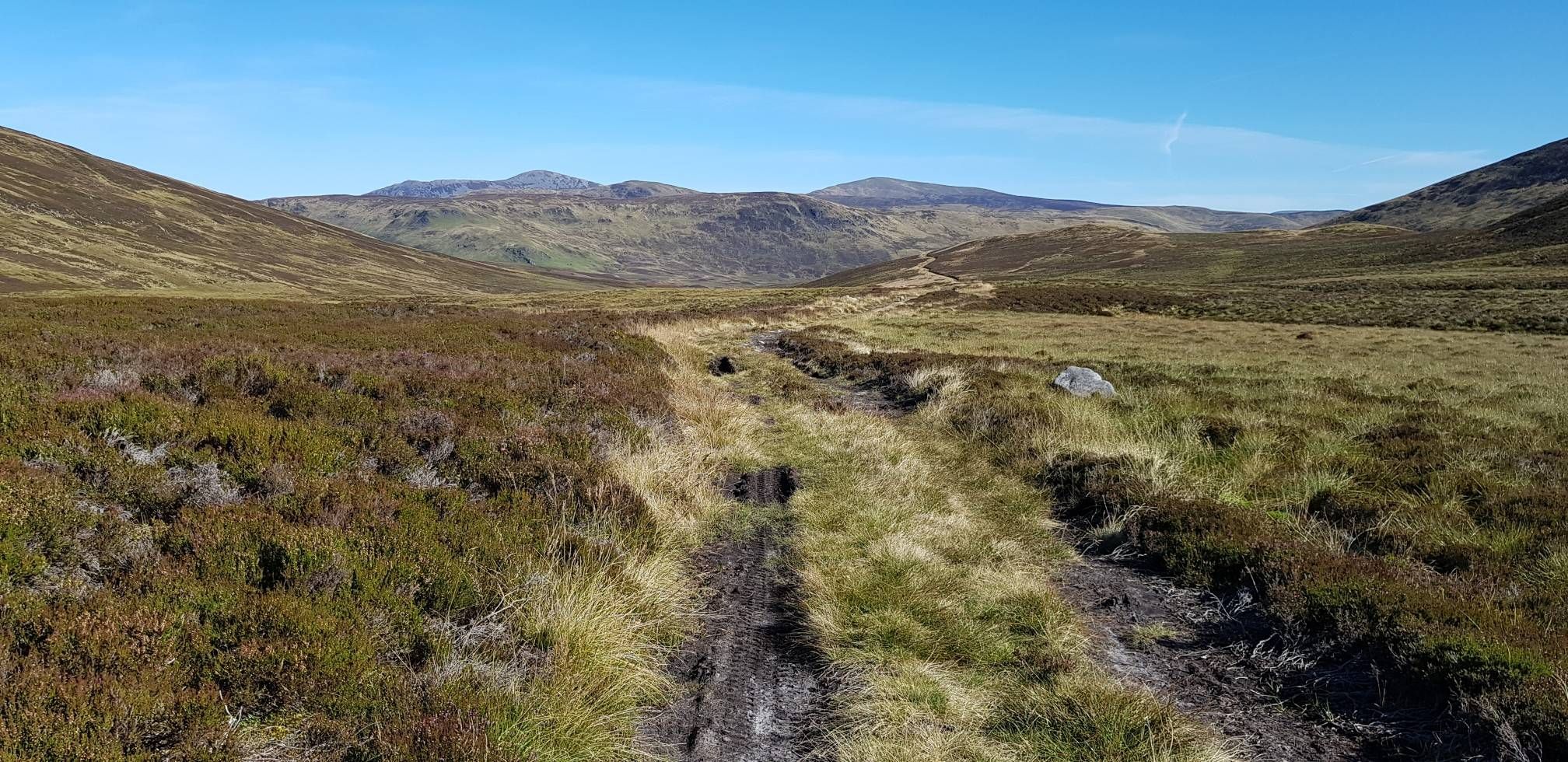
Cairngorms Loop — Burns, Lochs & Bothies of the Scottish Highlands
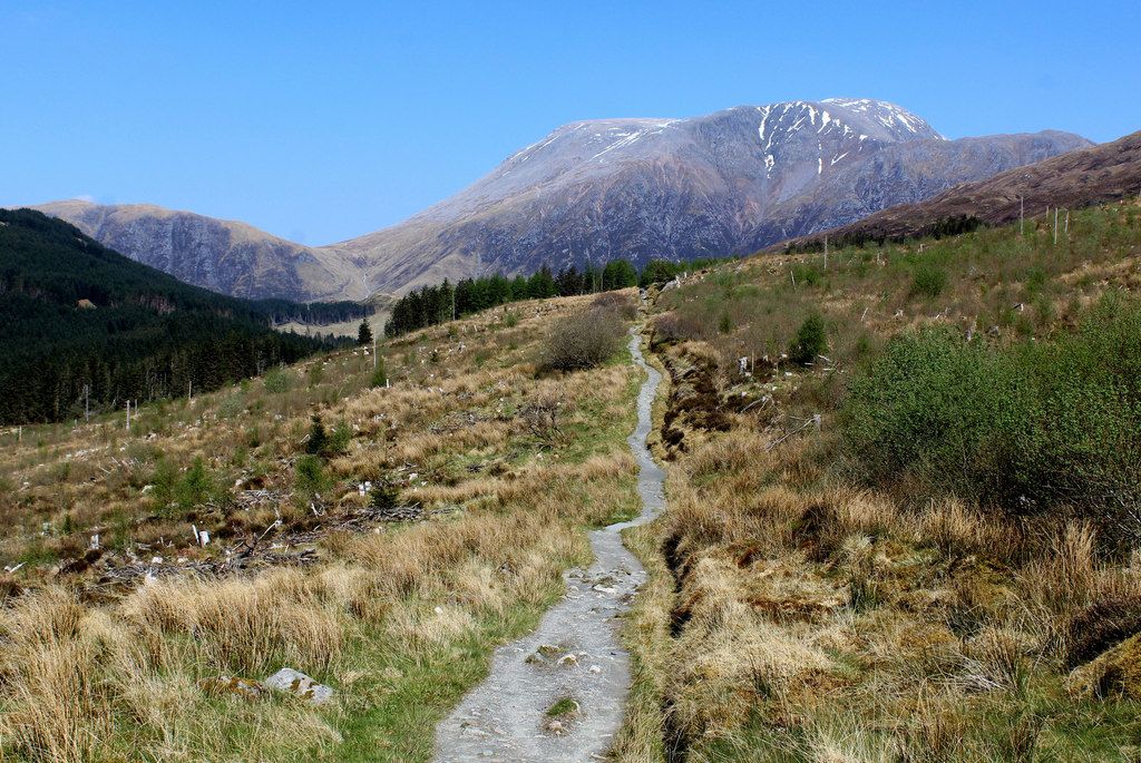
West Highland Way – Mountain biking
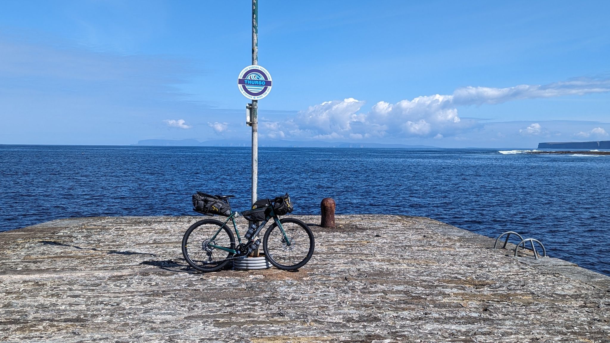
Intrusion into Scottish Territory – The Pictish Trail
Other adventures in the Grampian Mountains


Tips from the Community

The steep first section is now perfect gravel. I did the route yesterday on an E-mtb. Perfect route. Variable terrain. You have to give it a go.
1
0

At the eastern end of Loch Venachar, views to the west include Ben A'an and Ben Venue
0
0

An impressive waterfall suddenly appears behind the cast-iron suspension bridge in the foreground. I paused here to enjoy it.
3
0
Along the turbulent Tilt River, you'll see several waterfalls, and as a visitor, you'll often be amazed. It's truly beautiful.
3
0

Awesome trail. Great ride up with nice views
0
0
Awesome trail, great jumps
1
0

Lovely ride through forest with great views across a mirrored lake. Path is pretty good in most places with a quiet road leading to well maintained singletrack. A little twisty at times but you can work up a nice flowing rhythm and enjoy it if you take it easy. Why rush?
0
0

Frequently Asked Questions
How many mountain bike trails are available in the Grampian Mountains?
The Grampian Mountains offer a vast network of nearly 1000 mountain bike trails. This includes a diverse range of routes, from easy forest paths to challenging technical descents, catering to various skill levels.
What is the best time of year for mountain biking in the Grampian Mountains?
The spring and summer months (roughly April to September) are generally the best for mountain biking in the Grampian Mountains. During this period, you'll find more favorable weather conditions, longer daylight hours, and less chance of snow or ice on higher trails. However, be prepared for changeable Scottish weather at any time of year.
Are there any family-friendly mountain bike trails in the Grampian Mountains?
Yes, the Grampian Mountains offer several family-friendly options. Many forest and estate tracks provide gentler terrain suitable for families. For example, the Comrie Croft Trails loop offers moderate riding through scenic woodlands, which can be a good choice for those with some experience. Always check the route difficulty and length to ensure it's appropriate for your family's skill level.
Can I find circular mountain bike routes in the Grampian Mountains?
Absolutely. Many mountain bike trails in the Grampian Mountains are designed as loops, allowing you to start and finish at the same point. Examples include the Burma Road loop — Cairngorms National Park, which is a moderate 44.2 km route, or the Aberfoyle and Loch Venachar loop, a moderate 24.7 km ride.
What kind of terrain can I expect on mountain bike trails in the Grampian Mountains?
The Grampian Mountains offer incredibly diverse terrain, shaped by glaciated features. You'll encounter everything from free-flowing single-track and challenging gravel roads to technical descents over rugged, often granite, surfaces. The region features deep glens, dramatic corrie-cliffs, and extensive trail networks through metamorphic and igneous rocks, providing varied riding surfaces and challenging climbs.
Are there mountain bike trails suitable for beginners?
Yes, out of nearly 1000 routes, over 230 are rated as easy, making them suitable for beginners or those looking for a more relaxed ride. These trails often follow forest tracks or quieter roads, providing a good introduction to mountain biking in the region without overly technical sections.
What are some challenging mountain bike trails for experienced riders?
For experienced riders seeking a challenge, the Grampian Mountains offer over 220 difficult routes. The Dunkeld MTB Trails, for instance, is a difficult 34.4 km route with significant elevation gain. These trails often feature technical descents, steep climbs, and remote riding through rugged terrain.
What do other mountain bikers say about the trails in the Grampian Mountains?
The mountain bike trails in the Grampian Mountains are highly rated by the komoot community, with an average score of 4.5 stars from over 1700 reviews. Riders frequently praise the stunning scenery, the diversity of terrain, and the extensive network of trails that cater to all abilities, from moderate forest paths to epic, challenging descents.
Are there any notable landmarks or viewpoints along the mountain bike trails?
Yes, the Grampian Mountains are rich in natural beauty and offer many stunning viewpoints. While riding, you might encounter views of majestic peaks like Ben Nevis summit or Cairn Gorm Summit. The region also features dramatic glens and lochs, with highlights such as the View of Loch Lomond from Conic Hill offering breathtaking panoramas.
Can I find mountain bike trails that pass by waterfalls?
Yes, the Grampian Mountains are home to several impressive waterfalls that can be incorporated into your mountain biking adventures. You might find routes near notable cascades like Steall Falls or Inversnaid Falls. These natural attractions add another layer of beauty to your ride.
Is it possible to access mountain bike trails using public transport in the Grampian Mountains?
While some trailheads might be accessible by public transport, many of the more remote and extensive mountain biking routes in the Grampian Mountains are best reached by car. The region's rugged and wild nature means public transport options can be limited, especially for carrying bikes. Planning your route in advance and checking local transport schedules is advisable.
Are there mountain bike trails with dedicated parking facilities?
Many popular mountain biking areas and trail centers in the Grampian Mountains, such as Laggan Wolftrax or Comrie Croft, offer dedicated parking facilities. For other routes, especially those in more remote areas, you may find parking at trailheads or designated car parks in nearby villages. Always check specific route information for parking details.
Most popular routes in the Grampian Mountains
Most popular attractions in the Grampian Mountains

Get inspired with the komoot mobile app


Explore more
Browse the best MTB trails in other regions.
