The best road cycling routes around Thorniewood
4.6
(149)
4,772
riders
368
rides
Road cycling routes around Thorniewood offer access to the diverse landscapes of North Lanarkshire, Scotland. The region features an extensive cycling network with routes that traverse natural areas, run alongside waterways like the Forth and Clyde Canal, and include hilly terrain. While Thorniewood itself is a smaller community, its location provides access to mostly paved surfaces and quiet backroads, suitable for road cycling. Altitudes on routes in the wider area range from 19 to 428 meters, providing varied elevation profiles.
…Last updated: October 22, 2026
69
riders
63.8km
02:56
520m
520m
Moderate road ride. Good fitness required. Mostly well-paved surfaces and easy to ride.
46
riders
Hard road ride. Very good fitness required. Mostly well-paved surfaces and easy to ride.

4.0
(1)
50
riders
93.4km
04:11
870m
870m
Moderate road ride. Good fitness required. Mostly well-paved surfaces and easy to ride.
4.0
(1)
29
riders
67.7km
03:09
580m
580m
Moderate road ride. Good fitness required. Mostly well-paved surfaces and easy to ride.
5.0
(1)
31
riders
45.3km
02:02
270m
270m
Moderate road ride. Good fitness required. Mostly well-paved surfaces and easy to ride.
Get access to more routes and recommendations from other explorers.
Already have an account?
Our route recommendations are based on thousands of hikes, rides, and runs completed by other people on komoot.
Start today with a free account
Your next adventure awaits.
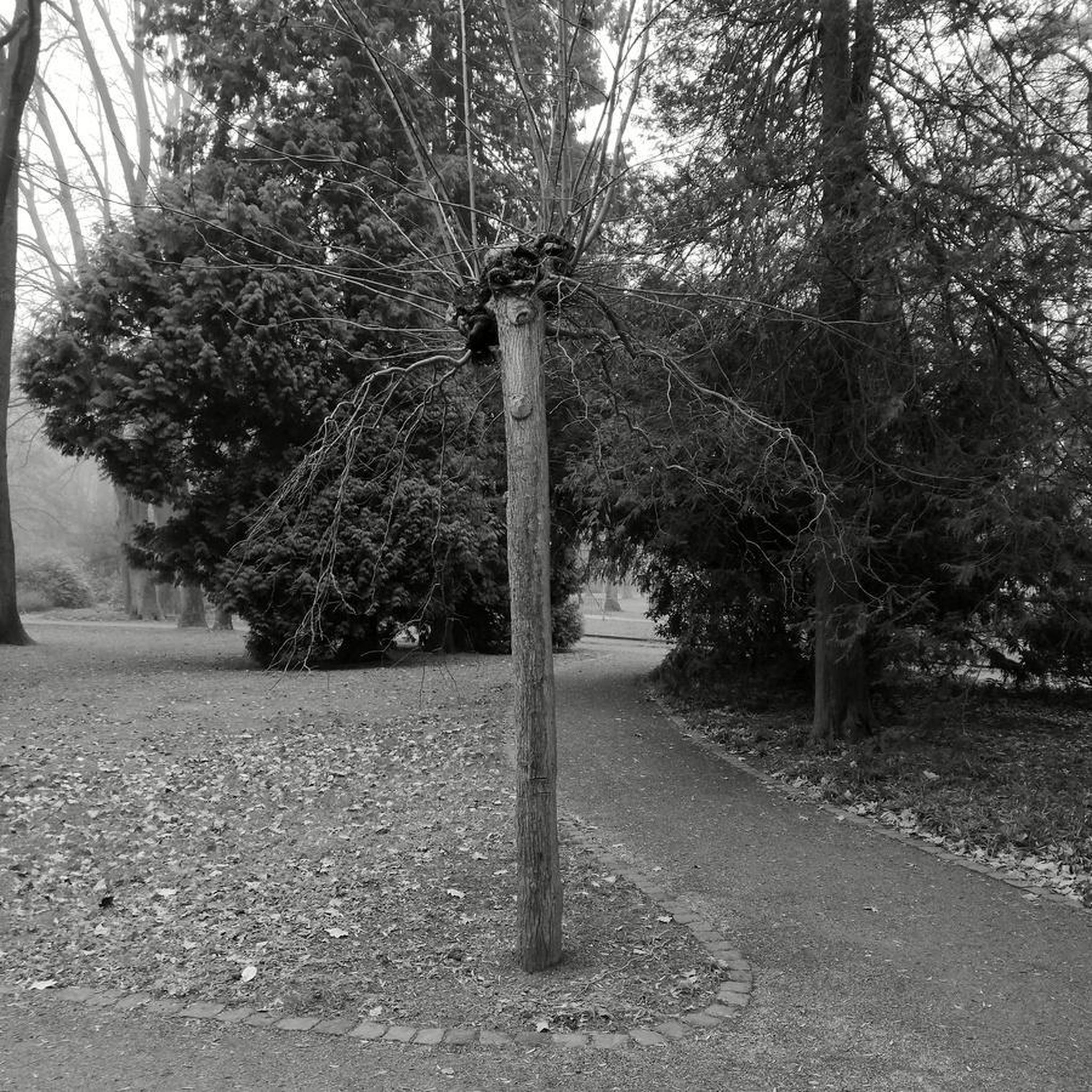
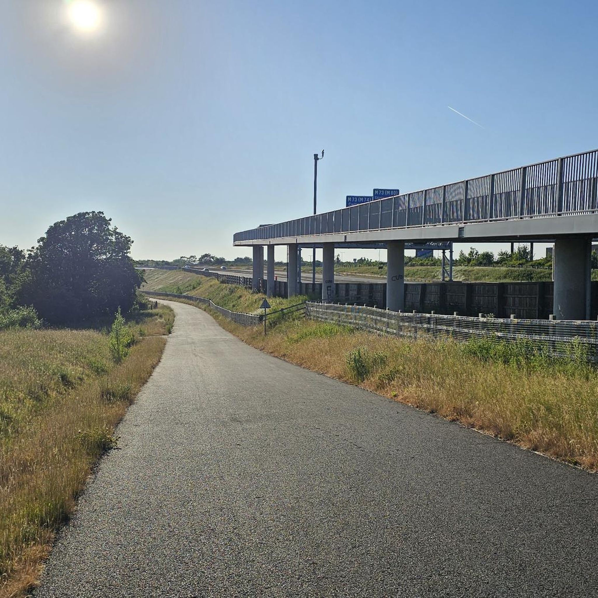

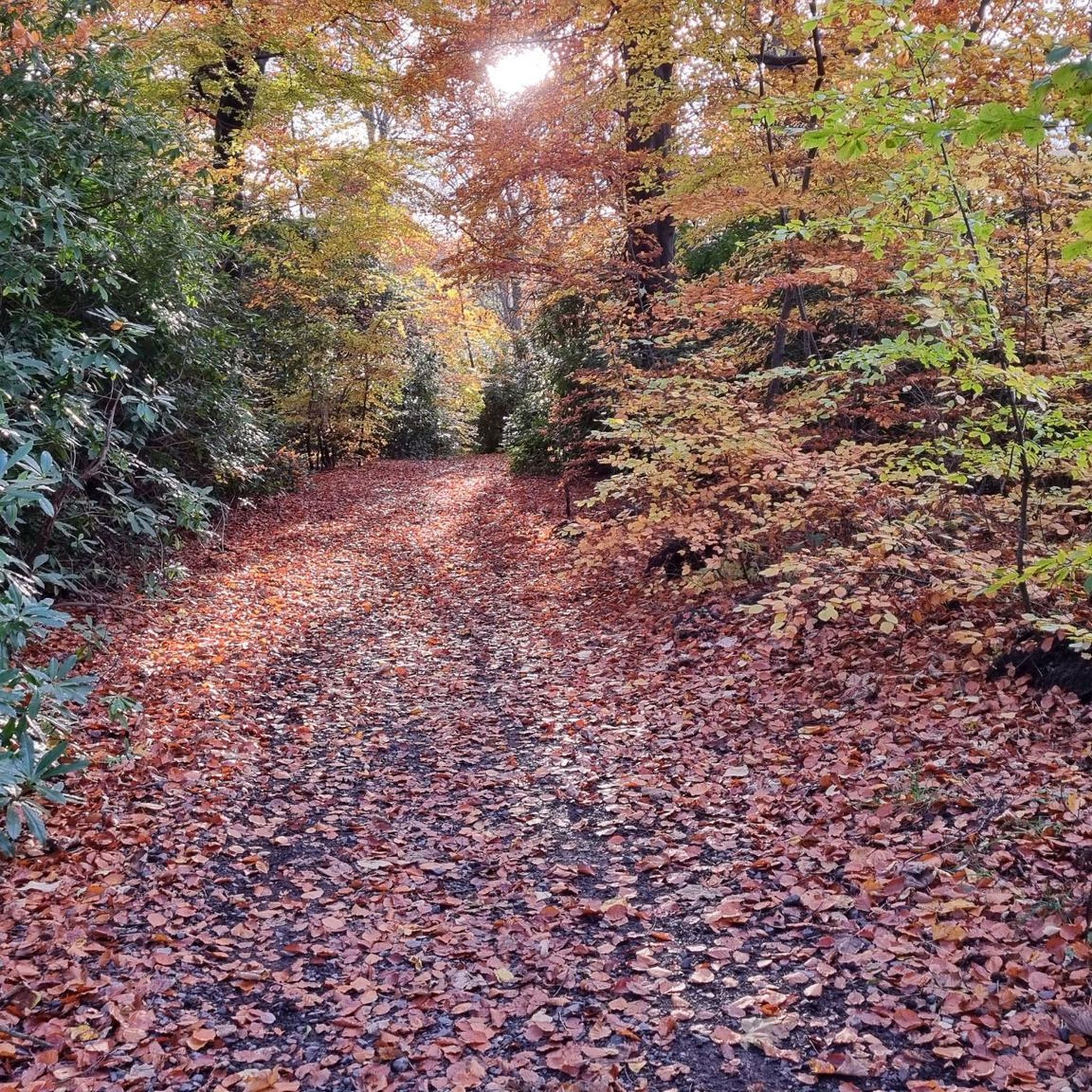

Tips from the Community

great place for food, drinks and ice-cream.
0
0

Obelisk erected in 1806 for the hero of the Battle of Trafalgar in 1805.
1
0
The terracotta fountain offers numerous beautiful photo opportunities
0
0

The Crow Road from Gonachan Cottage offers a gentler approach to this iconic Scottish climb, averaging 4–5% over around 5 km with occasional ramps up to 8%. The road surface is smooth and wide, rising steadily through open moorland with far-reaching views as you gain height. The gradient allows you to find a rhythm early and hold it, making it ideal for steady tempo riding. Wind can still be a factor, especially near the summit, so keep your effort measured. It’s a scenic, satisfying climb that rewards pacing and persistence.
1
0
Climbing the Crow Road north from Lennoxtown (B822) offers a classic Campsie Fells experience with rewarding views towards Glasgow. Settle in for a sustained ascent averaging around 4-5% over approximately 5-6km. The main physical challenge comes in the middle 'wall' section, where the gradient bites hard, reaching up to around 12-14% and demanding significant, steady effort. Experience the stunning panoramic views unfolding behind you as you gain height. As you emerge onto the open moorland near the summit, be prepared for significant exposure to wind, which often defines the final push to the top of this popular Scottish climb.
0
0

Last orders at the cafe are at 3.30pm! (March, might be later in summer) We turned up a 3.45 so no lunch for us, but we did get tea/coffee and nice cakes. There are 2 alpacas in the field next to the cafe, and sometimes little goats in the other field. From the shop you can buy the farms own wagyu beef 😋
0
0

https://www.glasgowlive.co.uk/news/history/history-glasgows-bridgeton-umbrella-iconic-27870754 The umbrella has stood at Bridgeton Cross since the 1870s. If the Bridgeton Umbrella could talk, it would surely have countless stories to tell from generations past. The Umbrella's history stretches back to 1875, when it was built in the heart of Bridgeton Cross as part of a major redevelopment project in the area that saw hundreds of inadequate housing and derelict buildings demolished to make way for new construction. In the early 20th century, the Bridgeton Umbrella cemented its status as an important meeting place. In the 1910s, rallies for women's suffrage were held there, and trade union protests also became commonplace.
2
0

Carron Valley Reservoir is a scenic man-made lake in central Scotland, located about 30 miles northeast of Glasgow. It was built in the early 1930s as part of a hydroelectric power project. A flat tarmacked road follows the length of the reservoir and makes for a very scenic cycle.
1
0
Frequently Asked Questions
What kind of terrain can I expect on road cycling routes around Thorniewood?
Road cycling routes around Thorniewood offer a diverse range of terrain within North Lanarkshire. You can expect routes that traverse natural areas, run alongside waterways like the Forth and Clyde Canal, and include hilly sections. While most surfaces are paved, providing a smooth ride, some segments might be unpaved. Altitudes in the wider area range from 19 to 428 meters, ensuring varied elevation profiles from gentle to challenging climbs.
How many road cycling routes are available around Thorniewood?
There are over 400 road cycling routes available around Thorniewood, catering to various skill levels. This includes 135 easy routes, 252 moderate routes, and 24 difficult routes, ensuring options for every cyclist.
Are there any long-distance road cycling routes available from Thorniewood?
Yes, there are several long-distance road cycling routes. For example, the Lochend Loch – View of Glasgow from Crow Road loop from Bellshill covers approximately 58 miles (93.4 km) and offers varied terrain with distant views of Glasgow. Another challenging option is the Carron Valley Reservoir – View of Glasgow from Crow Road loop from Bellshill, which is about 49.4 miles (79.5 km) with significant elevation gain.
What landmarks or points of interest can I see while road cycling near Thorniewood?
Many routes offer access to interesting landmarks and natural features. You might pass by significant sites in Glasgow such as George Square or the Duke of Wellington Statue. The region also features beautiful natural spaces like Strathclyde Loch within Strathclyde Country Park, and Lochend Loch, which are often part of scenic cycling loops.
Are there any scenic lakes or lochs along the cycling routes?
Absolutely. Several routes feature scenic lakes and lochs. The Lochend Loch – Lochend Visitor Centre loop from Uddingston, for instance, takes you around the picturesque Lochend Loch. You can also find routes that pass by Strathclyde Loch within Strathclyde Country Park, a popular spot for outdoor activities.
What do other road cyclists enjoy most about road cycling in Thorniewood?
The road cycling routes around Thorniewood are highly rated by the komoot community, with an average score of 4.6 stars from over 100 reviews. Cyclists often praise the extensive network of routes, the variety of terrain from flat canal paths to challenging climbs, and the opportunity to explore both natural areas and historical sites. Over 5,000 road cyclists have used komoot to discover the diverse landscapes of Thorniewood.
Are there any easy or beginner-friendly road cycling routes near Thorniewood?
Yes, there are 135 easy routes suitable for beginners or those looking for a more relaxed ride. An example is the Doulton Fountain – Nelson Monument, Glasgow Green loop from Bellshill, which is approximately 27.4 miles (44.1 km) and features a relatively flat profile, making it a good option for less experienced cyclists.
Can I find circular road cycling routes starting near Thorniewood?
Many of the road cycling routes in the area are designed as loops, offering circular journeys. For instance, the View of Chapelton – 18% Climb loop from Bellshill provides a challenging circular ride of about 42 miles (67.7 km) with significant climbs. The routes around Lochend Loch are also popular circular options.
Are there opportunities for challenging road cycling with significant elevation gain?
Yes, North Lanarkshire offers routes with considerable elevation gain for experienced road cyclists. The Carron Valley Reservoir – View of Glasgow from Crow Road loop from Bellshill is classified as difficult, featuring nearly 950 meters of ascent over 49.4 miles (79.5 km), including expansive views towards Glasgow and the Carron Valley Reservoir.
Where can I find more information about cycling in the wider Lanarkshire region?
For broader information on cycling and outdoor activities in the Lanarkshire region, you can consult resources like the Walking and Cycling Lanarkshire Guide provided by Visit Lanarkshire. This can offer additional context on the extensive network of routes and facilities available.
Are there any specific parks or natural spaces accessible by road bike near Thorniewood?
Yes, Thorniewood's location provides excellent access to several parks and natural spaces. Strathclyde Country Park, located in Motherwell, is a major hub for outdoor activities, including cycling around Strathclyde Loch. The Forth and Clyde Canal also offers scenic pathways suitable for road cycling, providing a generally flat and pleasant experience.
Most popular attractions around Thorniewood

Get inspired with the komoot mobile app


Explore more
Browse the best Road cycling routes in other regions.
