The best walks and hikes around Eastfield And Harthill
4.4
(43)
270
hikers
23
hikes
Hiking trails near Eastfield and Harthill explore a landscape of young forests, rolling countryside, and riverside paths in North Lanarkshire. The region is characterized by reclaimed green spaces and country parks, offering a network of accessible routes. Most hikes follow well-maintained paths through woodlands or along waterways like the River Almond and River Avon.
Best hiking trails around Eastfield And Harthill
- The most popular hiking route is Wallace's Cave – Avon Falls loop from Avonbridge, a 6.9 mile (11.1…
Last updated: August 31, 2026
5.0
(3)
8
hikers
11.1km
02:54
70m
70m
Moderate hike. Good fitness required. Easily-accessible paths. Suitable for all skill levels.
4.0
(1)
10
hikers
6.75km
01:44
30m
30m
Easy hike. Great for any fitness level. Easily-accessible paths. Suitable for all skill levels.

Sign up for free
12
hikers
Easy hike. Great for any fitness level. Easily-accessible paths. Suitable for all skill levels.
4.0
(1)
8
hikers
5.84km
01:30
20m
20m
Easy hike. Great for any fitness level. Easily-accessible paths. Suitable for all skill levels.
5.0
(1)
11
hikers
22.5km
05:58
230m
230m
Hard hike. Very good fitness required. Easily-accessible paths. Suitable for all skill levels.
Get access to more routes and recommendations from other explorers.
Sign up for free
Already have an account?
Our route recommendations are based on thousands of hikes, rides, and runs completed by other people on komoot.
Start today with a free account
Your next adventure awaits.
Login or Signup

Tips from the Community

When exploring the River Avon near Tomintoul, consider embarking on the 16-mile round-trip route from Tomintoul village to the picturesque Linn of Avon. This gentle path is suitable for both walking and cycling, offering a serene journey through heather-covered hills and along the lively river. Keep an eye out for red squirrels and hares that inhabit the area. Along the way, you'll pass by the Queen’s View, a spot where Queen Victoria once admired the expansive landscape of her royal estate. The trail follows a landrover track and eventually joins a private, single-track road, providing a peaceful and less-traveled experience. Remember to wear appropriate footwear and bring a map, as the terrain can be uneven and weather conditions may change. [1] https://www.countryfile.com/go-outdoors/days-out/river-avon-tomintoul-moray-scotland
0
0

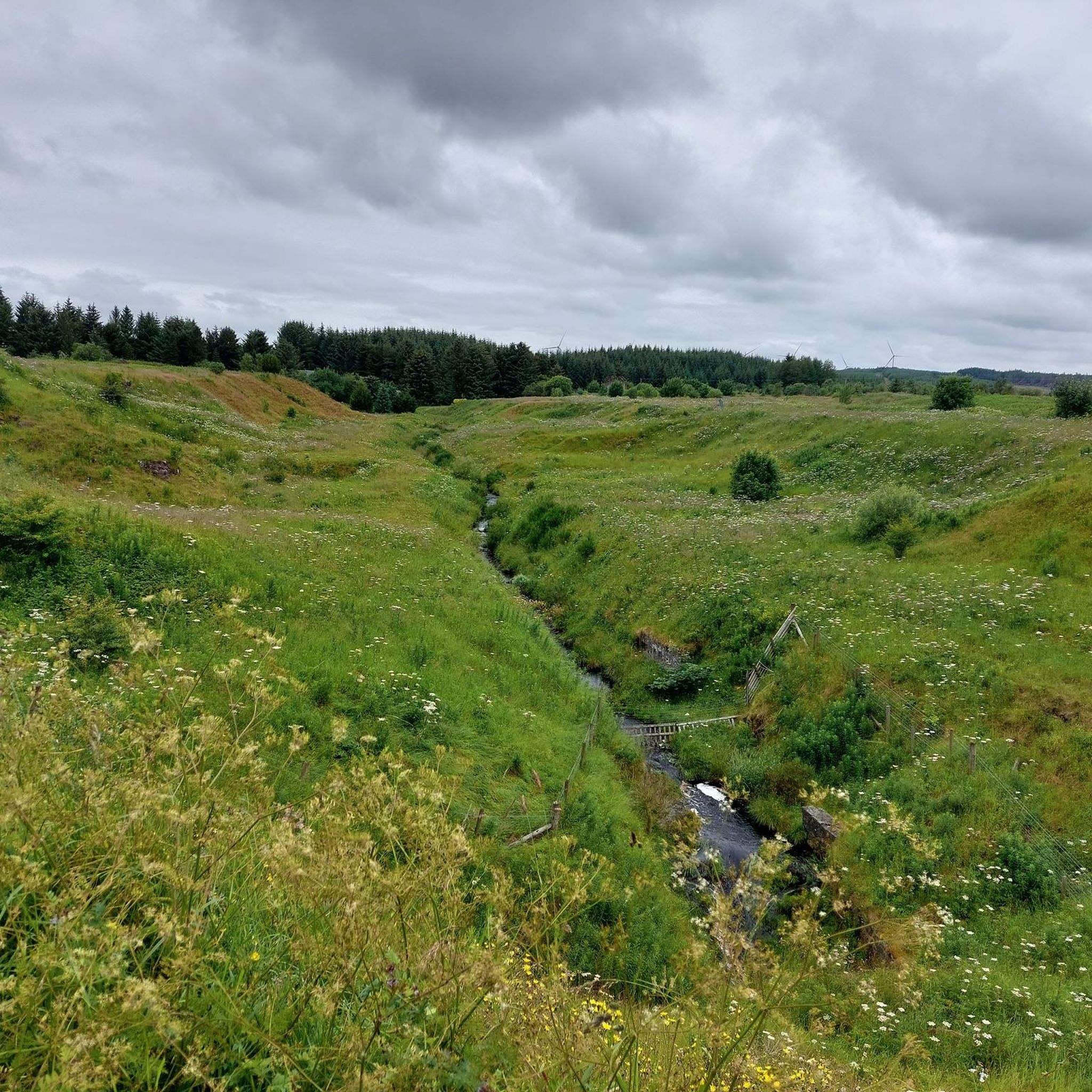
Fun little graffiti wall just before the beautiful views open up.
0
0


The Union Canal crosses the River Avon via the Avon Aqueduct. It was completed in 1821 and built to a design by Hugh Baird, with advice from Thomas Telford. It's 810 feet (250 m) long and 86 feet (26 m) high. Both the John Muir Way and the Union Canal towpath cross the aqueduct.
0
0

If you still have too much time until the bus leaves for the airport, you could treat yourself to a short walk. It is worth it .. Especially since there is a geocache hidden nearby.
1
0


Graveyard of the Stirling family of Muiravonside. Look out for the tombstone of nanny Janet, the family’s nurse for 45 years.
0
0

Frequently Asked Questions
Are there any easy, family-friendly hikes in the Eastfield and Harthill area?
Yes, the area is well-suited for families. A great option is the Path to the Meadow Pyramids loop from Blackburn. It's a gentle walk with minimal elevation, making it accessible for various ages and fitness levels.
Can I take my dog on the trails around Eastfield and Harthill?
Certainly. Most trails in the area, especially in places like Polkemmet Country Park and Woodlands at Eastfield, are perfect for dog walking. Please keep your dog under control, particularly near wildlife, and follow local signage regarding leads.
What's a good option for a very short walk?
For a quick and pleasant walk, consider the trails within the Woodlands at Eastfield. The main loop is only about 1.5km long and follows well-maintained gravel paths through a young forest, making it ideal for a brief stroll.
Where can I find parking for hikes around Eastfield and Harthill?
Most key locations offer dedicated parking. Polkemmet Country Park has a large car park for visitors. Similarly, Woodlands at Eastfield has a car park located off the B717 West Benhar Road, providing direct access to the trails.
What are the hiking options in Polkemmet Country Park?
Polkemmet Country Park offers a variety of trails through its 68 hectares of woodland and along the River Almond. You can find everything from short, leisurely riverside walks to longer routes of around 4 miles (6.5km). The park is a popular local favorite for its scenic paths and amenities.
Are there any challenging hikes for experienced walkers?
Yes, for those seeking a more demanding trek, the Wallace's Cave – Stirling Family Graveyard loop from Avonbridge is the most difficult hike in this guide. At over 22 km, it requires a high level of fitness and will take most of the day to complete.
What is Greenhead Moss Community Nature Park like for walking?
Greenhead Moss in nearby Wishaw is an excellent choice for accessible walking. The 100-hectare nature park features a great network of paths, many of which are tarmac and suitable for wheelchairs and pushchairs. It's a designated Local Nature Reserve, offering a chance to see diverse wildlife.
Are there any hikes that feature historical sites?
While many routes pass through areas with industrial heritage, the wider region contains notable sites. For example, Cairnpapple Hill, a short drive away, features a 5,000-year-old burial mound and offers fantastic views of the landscape.
What is the general difficulty of hikes in this area?
The trails around Eastfield and Harthill are predominantly easy to moderate. Out of over 20 available hikes, the vast majority are classified as easy or moderate, featuring gentle gradients and well-maintained paths through parks and woodlands. Only one is rated as difficult.
What do other hikers think of the trails around Eastfield and Harthill?
The area is highly regarded by the komoot community, with an average rating of 4.4 stars. Reviewers often praise the peaceful woodland walks and the well-marked paths through the region's country parks.
Are there any waterfalls to see on the hikes?
Yes, the Avon Falls are a key feature along the River Avon. You can see them on routes that follow the river near Avonbridge. The area around the falls offers scenic views and is a highlight of hikes in that specific part of the region.
Most popular routes around Eastfield And Harthill
Most popular attractions around Eastfield And Harthill

Get inspired with the komoot mobile app


Explore more
Browse the best Hikes in other regions.
