The best road cycling routes around Coltness
4.8
(25)
2,239
riders
210
rides
Road cycling routes around Coltness traverse a landscape characterized by rolling hills, agricultural land, and remnants of mature woodlands. The area, situated near the South Calder Water, offers varied terrain suitable for road cyclists. Routes often include climbs and descents, providing elevation challenges within the North Lanarkshire region. The network of roads connects local communities and extends into surrounding rural areas.
Best road cycling routes around Coltness
- The most popular road cycling route is Yieldshields Road loop from Cleland,…
Last updated: August 29, 2026
23
riders
44.1km
02:08
450m
450m
Moderate road ride. Good fitness required. Mostly well-paved surfaces and easy to ride.
20
riders
52.2km
02:24
430m
430m
Moderate road ride. Good fitness required. Mostly well-paved surfaces and easy to ride.

Sign up for free
5.0
(1)
8
riders
28.3km
01:38
330m
330m
Moderate road ride. Good fitness required. Mostly well-paved surfaces and easy to ride.
5.0
(1)
8
riders
57.6km
02:59
410m
410m
Moderate road ride. Good fitness required. Some segments of this route may be unpaved and difficult to ride.
9
riders
83.9km
03:57
770m
770m
Moderate road ride. Good fitness required. Some segments of this route may be unpaved and difficult to ride.
Get access to more routes and recommendations from other explorers.
Sign up for free
Already have an account?
Our route recommendations are based on thousands of hikes, rides, and runs completed by other people on komoot.
Start today with a free account
Your next adventure awaits.
Login or Signup


Tips from the Community

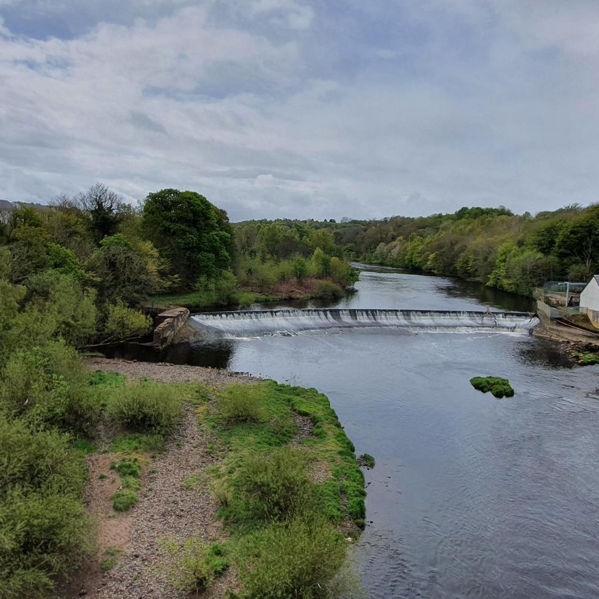
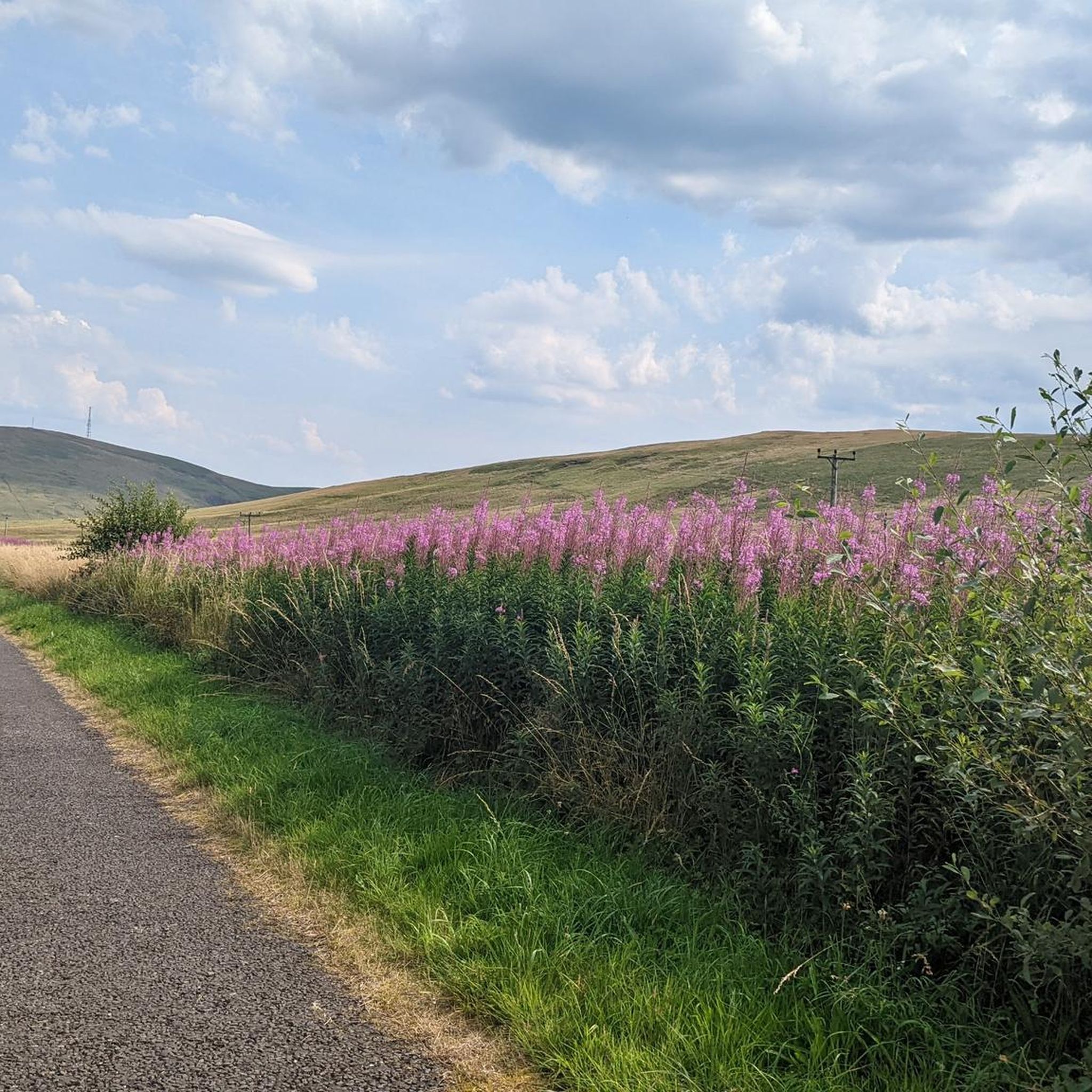
Despite the name, this is a very pretty and pleasant rolling road that meanders through fields and meadows. Low traffic and great tarmac.
0
0

https://www.football-stadiums.co.uk/grounds/scotland/celtic-park/ Celtic Park was built in 1892. When Celtic Football Club was founded in 1887, they needed a place to play their matches, so they opened a stadium in the Parkhead area of the city and called it Celtic Park. However, in 1892, they had a dispute over the rent, so they built a new oval stadium as a replacement in a disused brickworks, about 200 yards from the old stadium. Of course, they wanted to keep the name of their old stadium, so it was also called Celtic Park.
1
0

Small craft brewery with a large selection of interesting beers and good food
0
1


Great venue, and one of the venues of the Sidetracked - The 2023 Creators Tour
0
0


Choices, choices, plenty of little gems for stocking up or sitting outside and enjoying the calm.
0
0
Frequently Asked Questions
How many road cycling routes are available around Coltness?
Komoot offers over 200 road cycling routes around Coltness. These routes traverse a landscape of rolling hills, agricultural land, and scattered woodlands, providing varied terrain for cyclists.
What kind of terrain can I expect on road cycling routes in Coltness?
Road cycling routes in Coltness feature a mix of rolling hills, agricultural fields, and remnants of mature woodlands. You can expect routes with both climbs and descents, offering elevation challenges typical of the North Lanarkshire region. The roads connect local communities and extend into surrounding rural areas.
Are there easy road cycling routes suitable for beginners in Coltness?
Yes, Coltness offers a good selection of routes suitable for beginners. There are 54 easy road cycling routes available, providing a gentle introduction to the area's terrain. These routes typically have less elevation gain and cover shorter distances.
Are there challenging road cycling routes for experienced cyclists in Coltness?
For experienced cyclists seeking a challenge, Coltness has 25 difficult road cycling routes. These routes often feature more significant climbs and descents, covering longer distances and providing a more demanding ride through the region's varied landscape.
Can I find circular road cycling routes in Coltness?
Many of the road cycling routes in Coltness are designed as loops, allowing you to start and finish at the same point. For example, the Yieldshields Road loop from Cleland is a popular circular route covering 27.4 miles (44.1 km) with moderate elevation.
What are some notable landmarks or attractions I might see while cycling in Coltness?
While cycling around Coltness, you might encounter several interesting points. Nearby attractions include the scenic Strathclyde Loch, the historic Cambusnethan Priory, and the ancient Cadzow Oaks. These offer glimpses into the natural beauty and history of the area.
What do other road cyclists enjoy most about road cycling in Coltness?
The road cycling experience in Coltness is highly rated by the komoot community, with an average score of 4.7 stars from over 20 reviews. Cyclists often praise the varied terrain, which includes rolling hills and scenic agricultural land, and the network of roads that connect local communities.
Are there any routes that offer views of the South Calder Water?
The Coltness area is situated along the South Calder Water and its tributaries. Many routes will naturally pass near or offer views of this watercourse, especially those that traverse the local woodlands. The Hillhead Plantation – Canthills Plantation loop from Cleland, for instance, leads through wooded areas that are part of this natural setting.
Where can I find parking for road cycling routes in Coltness?
While specific parking areas for road cycling routes are not detailed, many routes start from local towns like Cleland or Wishaw. You can often find public parking facilities within these communities, which serve as convenient starting points for your ride.
Can I reach road cycling routes in Coltness using public transport?
Coltness and nearby towns like Wishaw and Cleland are connected by public transport. You can plan your journey to these starting points using local bus or train services, though it's advisable to check specific routes and bike carriage policies with the transport providers beforehand.
Are there any long-distance road cycling routes from Coltness?
Yes, for those looking for longer rides, there are routes extending further afield. The Biggar High Street – River Clyde loop from Cleland is an example of a longer route, covering 83.9 km (52.1 miles) and featuring significant elevation gain, taking you towards the River Clyde.
What is the best time of year for road cycling in Coltness?
The best time for road cycling in Coltness is generally during the spring, summer, and early autumn months when the weather is milder and daylight hours are longer. The woodlands, such as Coltness and North Branchal Woods, are particularly attractive in spring with wildflowers and in autumn with vibrant colors.
Are there any routes that pass through the Coltness and North Branchal Woods?
While the Coltness and North Branchal Woods are primarily known for their well-surfaced footpaths, some road cycling routes may pass alongside or near these attractive woodlands. These areas offer a pleasant backdrop of mature estate woodlands and natural beauty.
Most popular attractions around Coltness

Get inspired with the komoot mobile app


Explore more
Browse the best Road cycling routes in other regions.
