The best road cycling routes around Chryston
4.6
(272)
6,849
riders
327
rides
Road cycling routes around Chryston offer diverse terrain in North Lanarkshire, Scotland. Located approximately 7 miles east of Glasgow, the area features a mix of flat canal paths and rural roads. Cyclists can access the Forth and Clyde Canal Towpath for level riding or explore routes leading to views over the Kilsyth Hills. The landscape provides options for both leisurely rides and more challenging ascents.
Best road cycling routes around Chryston
- The most popular road cycling route is Stockingfield Bridge…
Last updated: August 29, 2026
18
riders
39.4km
01:44
180m
180m
Moderate road ride. Great for any fitness level. Some segments of this route may be unpaved and difficult to ride.
8
riders
22.8km
01:01
130m
130m
Easy road ride. Great for any fitness level. Mostly well-paved surfaces and easy to ride.

Sign up for free
7
riders
21.2km
00:55
130m
130m
Easy road ride. Great for any fitness level. Mostly well-paved surfaces and easy to ride.
6
riders
24.1km
01:15
220m
220m
Moderate road ride. Great for any fitness level. Some segments of this route may be unpaved and difficult to ride.
3
riders
58.4km
02:58
680m
680m
Moderate road ride. Good fitness required. Mostly well-paved surfaces and easy to ride.
Get access to more routes and recommendations from other explorers.
Sign up for free
Already have an account?
Our route recommendations are based on thousands of hikes, rides, and runs completed by other people on komoot.
Start today with a free account
Your next adventure awaits.
Login or Signup

Tips from the Community

One of the most interesting bridges I've ever seen—in my opinion, an architectural masterpiece, magnificent..👍👍
1
0


Hungryside Bridge is a lifting bridge carrying Torrance Road over the Forth and Clyde Canal.
0
0

Stockingfield Junction is a spot along the canal between Maryhill and Ruchill in Glasgow, Scotland. It first opened back in 1777, closed in 1963, and was later restored and reopened in 2022. Originally, it served as a terminus before becoming the junction for the Port Dundas branch off the main line of the Forth and Clyde Canal from 1777.
4
1

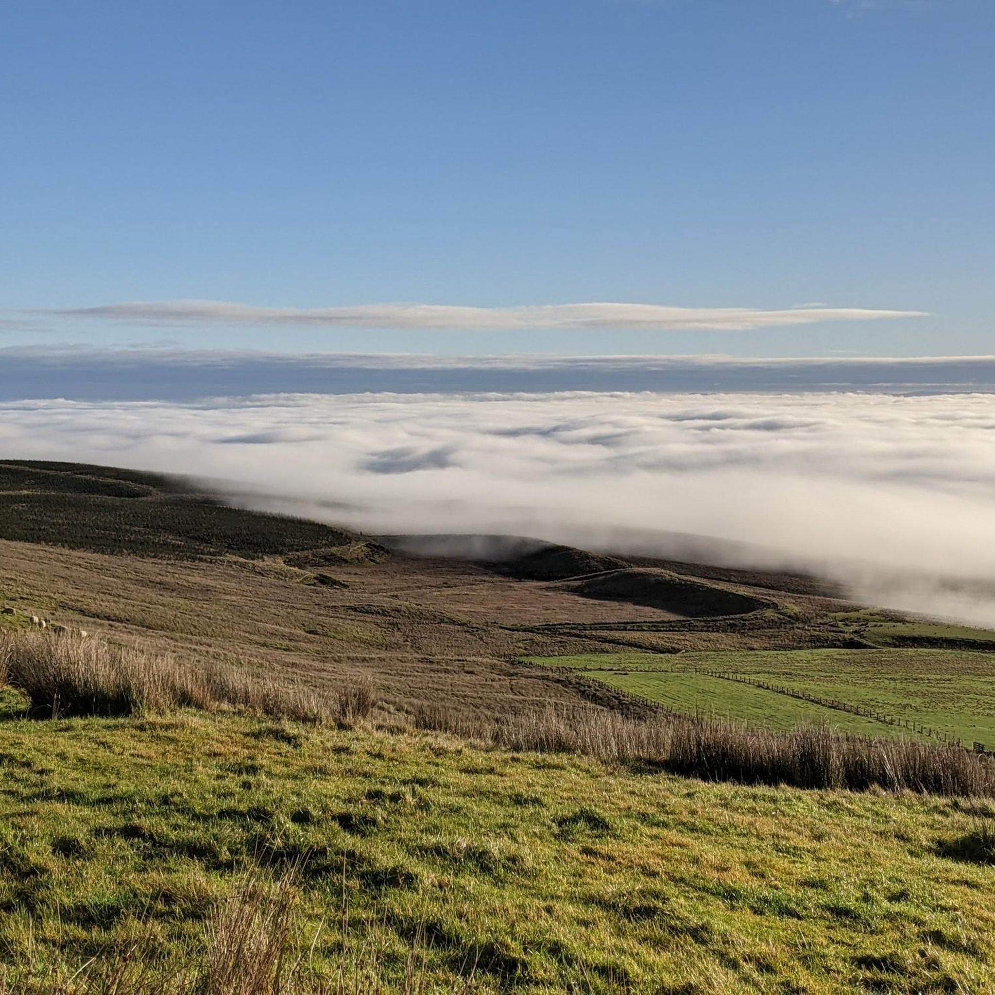
Great climb but road surface is poor, 28mm plus tyres recommended.
0
0

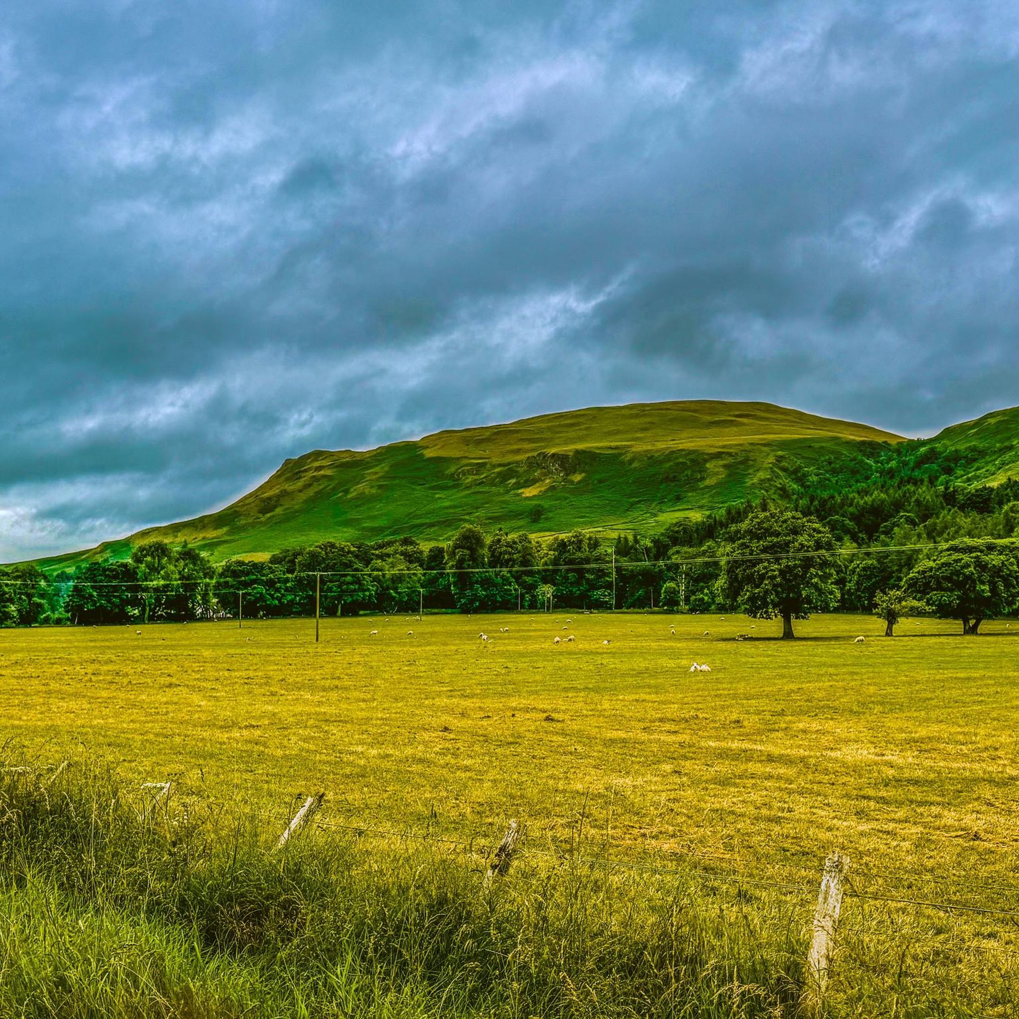
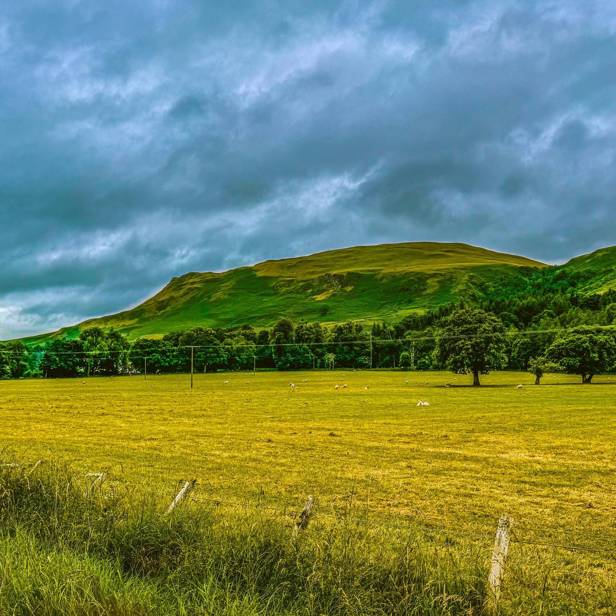
The Campsie Fells were formed by volcanic intrusion over existing mudstone and limestone beds.
0
0

Photo added from wikipedia. Licencing - see Creative Commons Attribution-Share Alike 4.0 International. https://creativecommons.org/licenses/by-sa/4.0/deed.en
0
0

Frequently Asked Questions
How many road cycling routes are available around Chryston?
There are over 350 road cycling routes around Chryston. This includes a wide variety of options, with nearly 150 easy routes, over 190 moderate routes, and 25 difficult routes for more experienced cyclists.
Are there easy road cycling routes suitable for beginners or families in Chryston?
Yes, Chryston offers many easy road cycling routes, with nearly 150 options available. The Lochend Visitor Centre – Crowwood Hotel Meeting Point loop from Gartcosh is an easy 14.6-mile path that traverses local landscapes. The Forth and Clyde Canal Towpath, known for its flat sections and scenic views, is also a great option for relaxed rides.
What kind of terrain can I expect on road cycling routes near Chryston?
Road cycling routes around Chryston offer diverse terrain. You'll find flat sections along the Forth and Clyde Canal Towpath, ideal for leisurely rides. Other routes feature rural roads, rolling hills, and more challenging ascents, particularly towards areas like the Kilsyth Hills. Some routes, like the Stockingfield Bridge – Hungryside Bridge loop from Moodiesburn, offer a mix of rural roads and canal-side sections.
Are there any challenging road cycling routes for experienced riders in the Chryston area?
Yes, for experienced riders seeking a challenge, there are 25 difficult road cycling routes around Chryston. The region is known for more strenuous climbs, such as the 'Crow Road Climb from Lennoxtown', which provides demanding routes with significant elevation changes.
What do other road cyclists enjoy most about cycling in Chryston?
The road cycling routes in Chryston are highly rated by the komoot community, with an average score of 4.6 stars from nearly 200 reviews. Cyclists often praise the varied terrain, from peaceful canal towpaths to scenic rural roads and views towards the Kilsyth Hills, catering to different ability levels.
Are there any circular road cycling routes around Chryston?
Yes, many road cycling routes around Chryston are circular, allowing you to start and end at the same point. Examples include the popular Stockingfield Bridge – Hungryside Bridge loop from Moodiesburn and the Crowwood Hotel Meeting Point loop from Stepps.
Are there any viewpoints or scenic spots along the road cycling routes?
Absolutely. Many routes offer scenic rewards. For instance, cycling towards Croy Hill Roman Fort can provide great views over the Kilsyth Hills to the north, the Firth of Forth and Fife hills to the east. The Forth and Clyde Canal Towpath also offers picturesque scenery, and the 'Crow Road Climb from Lennoxtown' is noted as a viewpoint.
Are there any routes that pass by waterfalls?
Yes, you can find routes that include natural features like waterfalls. The Fannyside Road – Waterfall on the River Avon loop from Broadwood Stadium is a moderate 24-kilometer route that passes by a waterfall on the River Avon.
What are some notable landmarks or attractions I can see while road cycling near Chryston?
Beyond the cycling itself, you can explore several landmarks. The Croy Hill Roman Fort offers historical interest and panoramic views. The Forth and Clyde Canal Towpath is a significant feature, providing a peaceful environment. For those seeking a challenge, the Crow Road Climb from Lennoxtown is a well-known cycling landmark.
How long do road cycling routes around Chryston typically take to complete?
The duration of road cycling routes around Chryston varies greatly depending on the distance and difficulty. Easy routes like the Crowwood Hotel Meeting Point loop from Stepps (13.1 miles) can be completed in about 53 minutes. Longer, moderate routes such as the Auchinstarry Quarry – Fannyside Road loop from Gartcosh (58.4 miles) might take around 3 hours.
Are there road cycling routes with less traffic around Chryston?
Many routes around Chryston utilize rural roads and dedicated paths like the Forth and Clyde Canal Towpath, which offer a more peaceful cycling experience away from heavy traffic. These options are ideal for those looking for quieter rides.
Most popular attractions around Chryston

Get inspired with the komoot mobile app


Explore more
Browse the best Road cycling routes in other regions.
