The best walks and hikes around Blackwood And Craiglinn
4.3
(255)
2,530
hikers
141
hikes
Hiking around Blackwood And Craiglinn features a landscape characterized by accessible trails, varied terrain, and a mix of natural and man-made features. The region includes scenic lochs like Broadwood Loch, the expansive Whitelee Wind Farm, and several hills offering panoramic views. Historical Roman fort remains and sculptures are also integrated into the trail network.
Best hiking trails around Blackwood And Craiglinn
- The most popular hiking route is Frog Trail, a 1.7 miles (2.8 km) trail that takes about 45 minutes to complete. This easy route provides scenic views around Broadwood Loch with gentle elevation.
- Another top favourite among local hikers is Silvanus Roman Head Sculpture – Croy Hill Roman Fort loop from Croy, a moderate 6.5 miles (10.4 km) path. This route combines natural beauty with historical interest, featuring Roman sites and varied terrain.
- Local hikers also love the Bar Hill Roman Fort – Croy Hill Roman Fort loop from Croy, a 9.5 miles (15.3 km) trail leading through historical Roman fort remains and diverse landscapes, often completed in about 4 hours 10 minutes.
- Hiking around Blackwood And Craiglinn is defined by scenic lochs, extensive wind farm landscapes, accessible hills with expansive views, and historical Roman sites. The network offers options for various ability levels, from easy paths to more challenging routes.
- The routes in Blackwood And Craiglinn are highly rated by the komoot community with an average score of 4.4 stars from more than 200 reviews. More than 2000 hikers have used komoot to explore Blackwood And Craiglinn's varied terrain.
Last updated: October 10, 2026
4.3
(6)
100
hikers
2.80km
00:43
10m
10m
Hike the easy 1.7-mile Frog Trail in Broadwood Nature Reserve, offering gentle elevation gain and scenic views around Broadwood Loch.
5.0
(2)
13
hikers
10.4km
02:49
150m
150m
Moderate hike. Good fitness required. Easily-accessible paths. Suitable for all skill levels.

5.0
(1)
9
hikers
15.3km
04:11
240m
240m
Moderate hike. Good fitness required. Easily-accessible paths. Suitable for all skill levels.
4
hikers
5.56km
01:31
80m
80m
Easy hike. Great for any fitness level. Easily-accessible paths. Suitable for all skill levels.
6
hikers
Moderate hike. Good fitness required. Easily-accessible paths. Suitable for all skill levels.
Get access to more routes and recommendations from other explorers.
Already have an account?
Our route recommendations are based on thousands of hikes, rides, and runs completed by other people on komoot.
Start today with a free account
Your next adventure awaits.

Tips from the Community

The location of the 'location' pin on the Bing map is incorrect
0
0

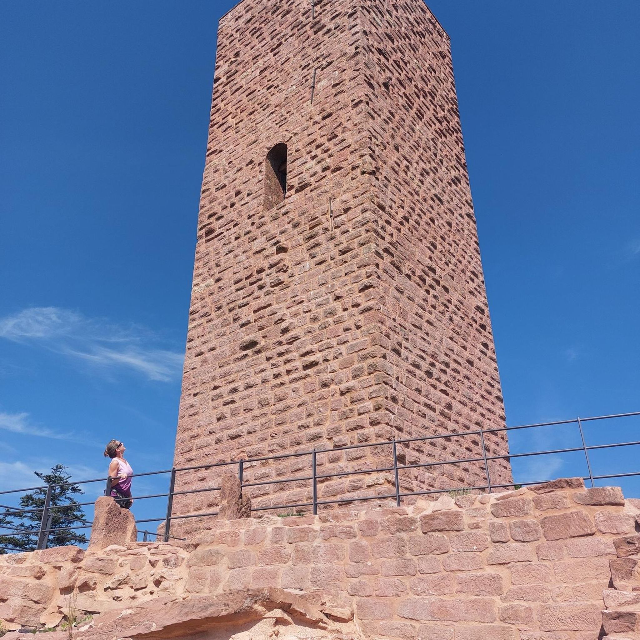
The Antonine Wall was a turf wall, built on stone foundations by the Romans, about 20 years after Hadrian's Wall. It stretches from coast to coast across the central belt of Scotland. Croy Hill was a minor fort on the wall.
0
0


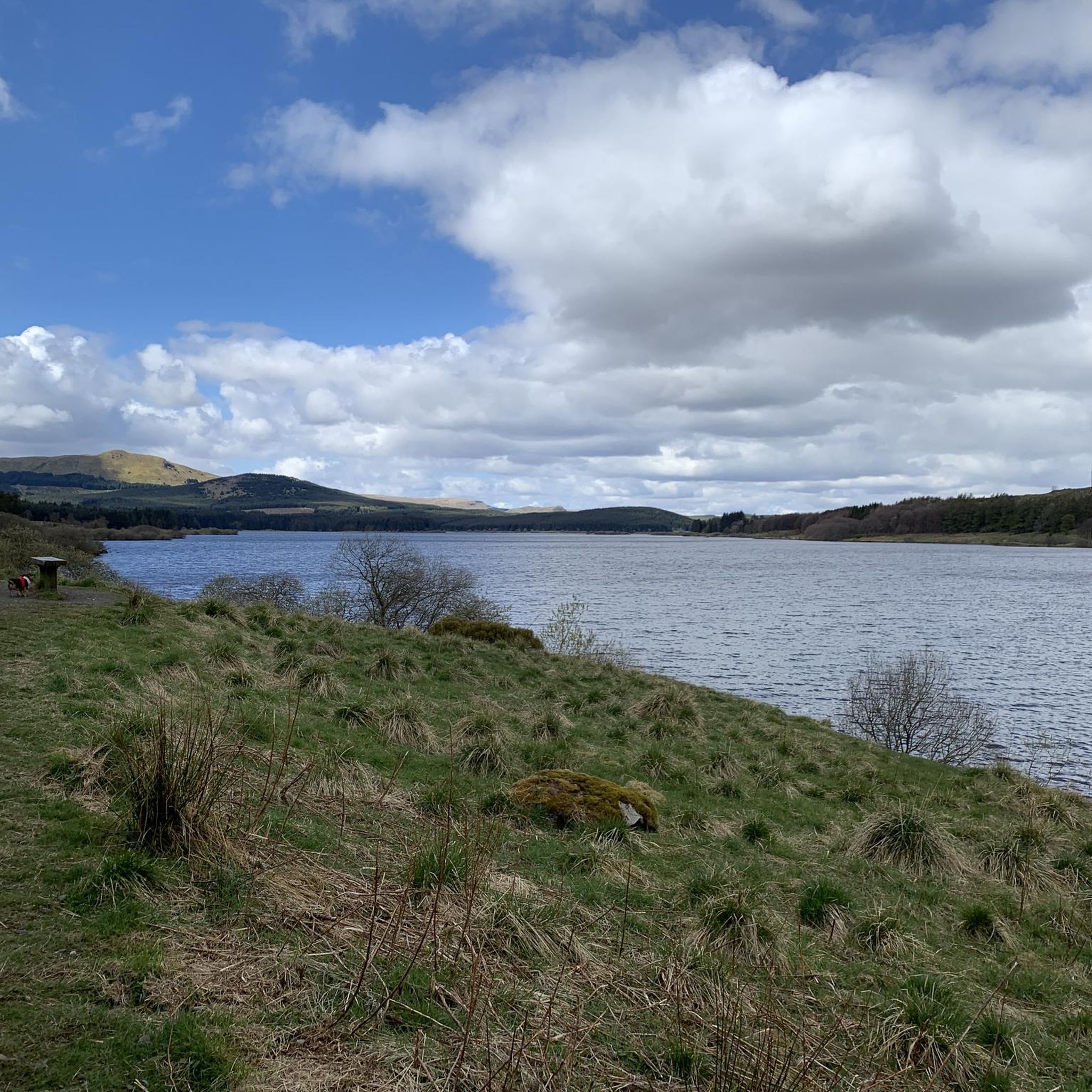
Ah, Banton Loch, or as it was once known, Townhead Reservoir. Now, there’s a place that’s brimming with stories. It’s nestled on the east side of Kilsyth in North Lanarkshire, Scotland, a mere 21 kilometres north-east of Glasgow. This man-made marvel, built in 1770 to feed water into the canal, was once the largest reservoir in Scotland. It’s a freshwater lake, impounded by earthwork dams, sitting pretty at 86 metres above sea level. The loch stretches about 1 kilometre in length with a maximum width of about 280 metres1. It’s fed by a number of burns draining the Kilsyth Hills to its north. Now, if you’re a history buff, you’ll be thrilled to know that the battlefield of the 15 August 1645 Battle of Kilsyth between Scottish Royalists and Covenanters is thought to be in the vicinity of the loch. The exact position remains a subject of debate, but it’s a fascinating piece of history nonetheless.
0
0

Croy Hill was a Roman fort,and probable temporary camp
0
0
Created by artist Svetlana Kondakova and Big Red Blacksmiths, the sculpture looks out from the line of the Antonine Wall across the Kelvin Valley towards what the Romans considered ‘barbarian’ territory, beyond the edge of the Roman Empire.
0
0

Braodwood Loch was created in 1994 when a dam was built across the burn as part of a flood remediation scheme, it helps control water downstream. Today it's a beautiful wildlife habitat within the urban area of Cumbernauld. The loch is home to flocks of swans and other water birds as well as lots of insects and underwater life. The circular trail around the loch is popular with local families and dog walkers.
0
0
Frequently Asked Questions
How many hiking trails are available in Blackwood And Craiglinn?
Blackwood And Craiglinn offers a wide variety of hiking experiences, with nearly 150 trails to choose from. These range from easy strolls to more challenging routes, catering to all fitness levels.
Are there easy, family-friendly walks in the area?
Yes, Blackwood And Craiglinn is home to many easy and family-friendly walks. A great option is the Frog Trail, an easy 1.7-mile route around Broadwood Loch with gentle elevation, perfect for all ages. There are over 80 easy routes in total, ensuring plenty of choices for families.
What kind of landscapes can I expect to see while hiking in Blackwood And Craiglinn?
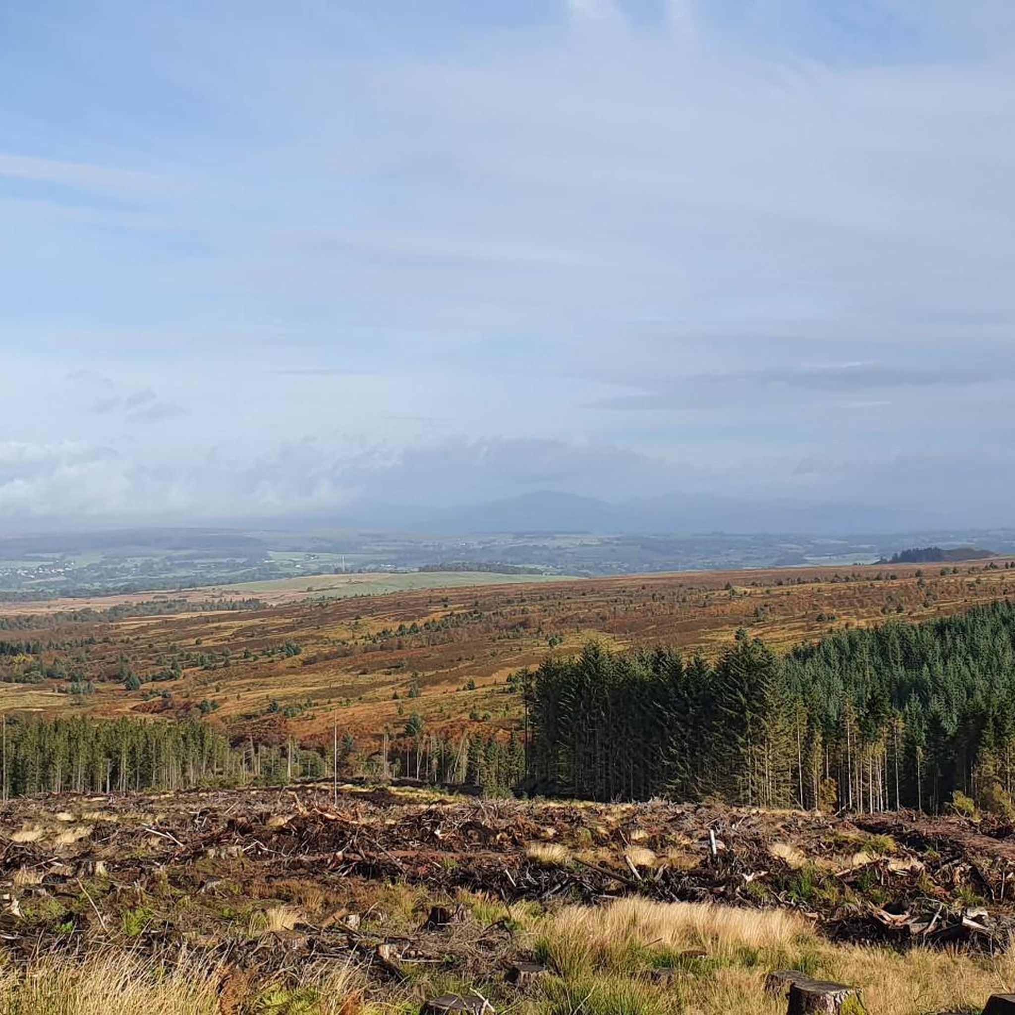
The region offers diverse landscapes, from the tranquil waters of Broadwood Loch and the natural beauty of Broadwood Nature Reserve to the unique, expansive backdrop of the Whitelee Wind Farm. You'll also find accessible hills like Blackwood Hill and Dunwan Hill, providing panoramic views, and trails that incorporate historical Roman sites.
Are there any circular hiking routes available?
Yes, many of the trails in Blackwood And Craiglinn are circular, allowing you to start and end at the same point. For example, the Silvanus Roman Head Sculpture – Croy Hill Roman Fort loop from Croy is a moderate circular route that combines natural beauty with historical interest.
What historical sites or landmarks can I explore on the trails?
History enthusiasts will find several points of interest. You can explore routes that incorporate the Croy Hill Roman Fort and the Bar Hill Roman Fort remains. The Bar Hill Roman Fort – Croy Hill Roman Fort loop from Croy is a notable trail for this. Additionally, some paths feature the Silvanus Roman Head Sculpture, adding an artistic and historical element to your hike.
Are there any trails with good viewpoints?
Absolutely. Blackwood Hill and Dunwan Hill offer rewarding hikes with significant elevation gains and panoramic views. Blackwood Hill features a cairn and viewpoint, while Dunwan Hill provides excellent vistas over the Dunwan Dam and towards Glasgow. Other notable viewpoints in the wider area include Meikle Bin Summit and Cort-ma-Law Summit.
What do other hikers say about the trails in Blackwood And Craiglinn?
The trails in Blackwood And Craiglinn are highly regarded by the komoot community, with an average rating of 4.4 stars from over 200 reviews. Hikers frequently praise the varied terrain, the accessibility of routes for different abilities, and the unique combination of natural beauty and historical sites.
Is public transport available to reach hiking trailheads?
While specific public transport options vary by trailhead, the region is generally accessible. It's advisable to check local bus routes or train services to nearby towns like Croy, which serves as a starting point for several popular routes, including the Croy Hill Roman Fort – Silvanus Roman Head Sculpture loop from Croy.
Where can I find parking for hiking trails?
Parking is generally available at key access points for many trails, particularly around popular areas like Broadwood Loch and near the Whitelee Wind Farm visitor centre. For routes starting from towns like Croy, designated parking areas are often provided. Always check specific route details for recommended parking locations.
What should I wear for hiking in Blackwood And Craiglinn?
Given the varied terrain and potential for exposure to elements, especially on higher ground like Blackwood Hill and Dunwan Hill, it's recommended to wear layers, waterproof outerwear, and sturdy hiking boots. Be prepared for changing weather conditions, and consider insect repellent during warmer, still weather due to potential midges.
Are there any trails that pass by the Whitelee Wind Farm?
Yes, the Whitelee Wind Farm, as the largest onshore wind farm in the UK, features an extensive network of roads and paths that are popular with walkers. Many trails in the region offer unique views of the wind farm, and some routes traverse its perimeter, providing a distinct hiking experience.
Most popular routes around Blackwood And Craiglinn
Most popular attractions around Blackwood And Craiglinn

Get inspired with the komoot mobile app


Explore more
Browse the best Hikes in other regions.
