The best road cycling routes around Girdle Toll And Bourtreehill
4.5
(56)
4,133
riders
421
rides
Road cycling routes around Girdle Toll And Bourtreehill feature a landscape characterized by predominantly flat areas and low hills, offering varied terrain for cyclists. The region benefits from extensive cycle networks, including sections of the National Cycle Network and traffic-free paths along rivers. Coastal scenery, river valleys, and views towards the Isle of Arran are prominent natural features that enhance road cycling routes. This combination provides options for both relaxed rides and more challenging outings.
Best road cycling routes around…
Last updated: July 10, 2026
34
riders
23.2km
01:17
50m
50m
Easy road ride. Great for any fitness level. Mostly well-paved surfaces and easy to ride.
22
riders
23.4km
01:03
50m
50m
Easy road ride. Great for any fitness level. Mostly well-paved surfaces and easy to ride.

Sign up for free
13
riders
Easy road ride. Great for any fitness level. Mostly well-paved surfaces and easy to ride.
16
riders
45.7km
02:07
360m
360m
Moderate road ride. Good fitness required. Mostly well-paved surfaces and easy to ride.
15
riders
18.2km
00:48
50m
50m
Easy road ride. Great for any fitness level. Mostly well-paved surfaces and easy to ride.
Get access to more routes and recommendations from other explorers.
Sign up for free
Already have an account?
Our route recommendations are based on thousands of hikes, rides, and runs completed by other people on komoot.
Start today with a free account
Your next adventure awaits.
Login or Signup

Tips from the Community


Saltcoats sea wall beside the train station, amazing during a storm.
0
0

The River the smallest of Ayrshire's six principal rivers, has its source on the southerly side of the Hill of Stake in the heart of the Clyde Muirshiel Regional Park.
0
0
The harbours serving Irvine at Seagatefoot and Fullarton in North Ayrshire have had a long and complex history. Irvine's harbour was one of the most important ports in Scotland in the 16th century. Across from the main harbour at Fullarton on the River Irvine there was also terminal for the ICI-Nobel Explosives plant on the River Garnock. Much of the harbour went into decline in the 19th century when Glasgow, Greenock and Port Glasgow achieved higher prominence as sea ports. There was still some commercial sea traffic linked to local needs, though the harbour went into further terminal decline in the 20th century. The weir on the River Irvine forms the formal upper limit of the harbour. Formerly owned by ICI, Irvine Harbour is now the property of NPL Estates Irvine Harbour is now officially closed as a commercial port. Until recently NPL provided a slipway for dinghies, as well as moorings and berths for pleasure craft. However, silting has taken place and the Scottish Maritime Museum's berths are not for public use.
0
0
Auchenharvie has long been a ruin, shown as such as far back as 1604 - 08. The castle is built from whinstone with freestone corners. A good deal remains of this typical tower castle, which has been ruinous since the 1770s, with indications of the barrel roof vaulting, side tower, ornate sandstone ornamentation, etc. Uncommon orchids have been recorded as growing on the motte.
0
0
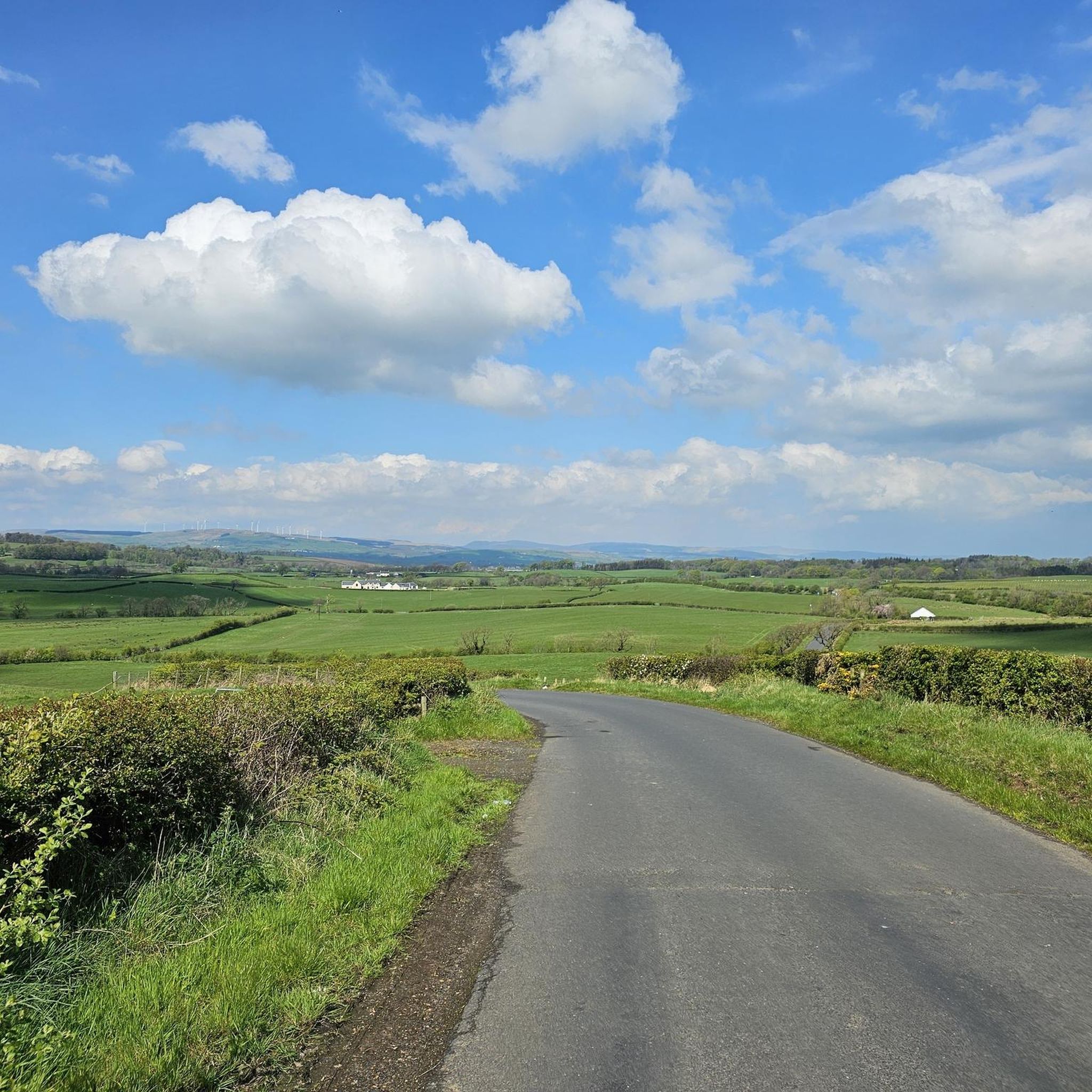
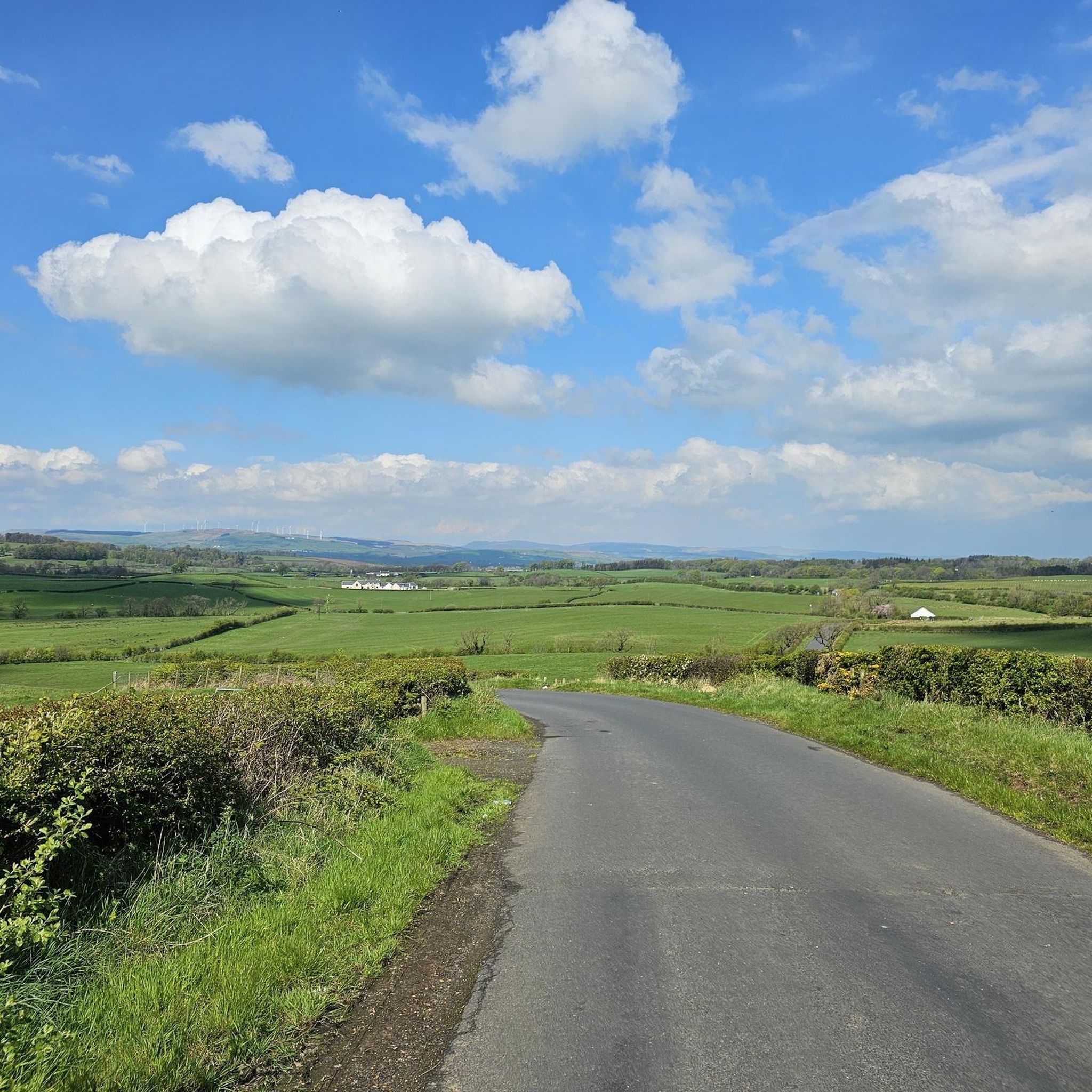
A great mix of grassland, broadleaf trees, a well maintained central pond with great views over the surrounding countryside. Many of the trees at this location have been adopted, sponsored or commemorated by local people making this true community woodland. A lovely place to stop for a cuppa if you bring your own.
0
0
Frequently Asked Questions
How many road cycling routes are available in Girdle Toll And Bourtreehill?
There are over 440 road cycling routes around Girdle Toll And Bourtreehill, catering to various skill levels. This includes more than 170 easy routes, over 240 moderate routes, and a selection of more challenging options.
Are there road cycling routes suitable for families or beginners?
Yes, the area offers many routes ideal for families and beginners. The Garnock Valley Cycleway, part of NCN 7, is a 29 km route that is almost entirely traffic-free. The New Town Trail is another excellent 19 km circular, traffic-free option. Many easy routes, like the Kilwinning Abbey loop from Ravenspark, are also suitable for those new to road cycling.
What kind of terrain can I expect on road cycling routes in this region?
Road cycling routes around Girdle Toll And Bourtreehill feature predominantly flat areas and low hills. You'll find a mix of extensive cycle networks, traffic-free paths along rivers and dismantled railway lines, and quiet country lanes. Some routes offer gentle inclines, while others provide a more relaxed, level ride, often blending coastal scenery with rural landscapes.
What are some notable landmarks or attractions I can see while cycling?
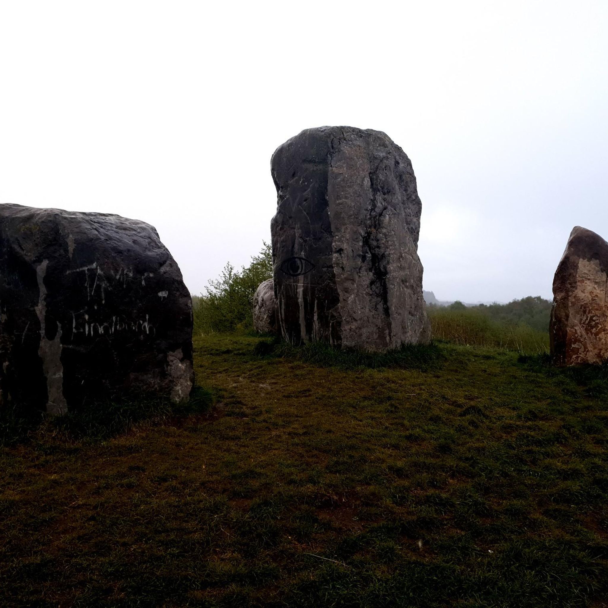
Many routes pass by significant landmarks and natural features. You can cycle past the historic Eglinton Castle Tower within Eglinton Country Park, explore Irvine Harbour, or follow the River Garnock. Coastal routes often provide scenic views towards the Isle of Arran, and you might even spot the Cairnmount Hill Standing Stones.
Are there any circular road cycling routes in the area?
Yes, there are numerous circular road cycling routes. For example, the Kilwinning Abbey loop from Ravenspark is a popular circular route exploring local history. Another option is the River Garnock – River Garnock Cycle Path loop from Irvine, which offers a pleasant ride along the river.
What do other road cyclists enjoy most about cycling in Girdle Toll And Bourtreehill?
The area is highly rated by the komoot community, with an average score of 4.6 stars from over 50 reviews. Cyclists often praise the varied terrain, which includes coastal paths, river valleys, and low hills, as well as the extensive network of traffic-free and quiet road options suitable for different ability levels.
Where can I find parking for road cycling routes?
Eglinton Country Park is a significant hub with parking facilities, providing access to its extensive cycling network. Additionally, you can find parking in towns like Irvine and Kilwinning, which serve as starting points for many routes, including those connected to the National Cycle Network.
Can I access road cycling routes using public transport?
Yes, the region is well-connected by public transport. Eglinton Country Park, a key cycling destination, is accessible via public transport. Towns like Irvine and Kilwinning, which are starting points for many routes, also have good public transport links, making it convenient to reach the cycling networks.
Are there any cafes or places to stop for refreshments along the routes?
Yes, several routes pass through or near towns and villages where you can find cafes and pubs. For instance, the Vanilla Joe's Gelateria – Irvine Harbour loop from Dreghorn specifically highlights a popular stop. The larger towns like Irvine and Kilwinning offer various options for refreshments.
Are there any routes that offer views of the Isle of Arran?
Absolutely. Many coastal routes, particularly those along Irvine Bay and the Firth of Clyde, offer stunning views of the mountainous Isle of Arran. The Dunlop Main Street – View of Arran loop from Ravenspark is one such route designed to showcase these dramatic vistas.
What is the best time of year for road cycling in Girdle Toll And Bourtreehill?
The spring and summer months generally offer the most favorable weather for road cycling in North Ayrshire, with milder temperatures and longer daylight hours. However, the region's varied terrain and extensive networks can be enjoyed year-round, with some routes providing sheltered options during cooler or windier conditions.
Are there any long-distance road cycling routes in the vicinity?
The area is connected to the National Cycle Network (NCN), specifically Routes 7 and 73, which offer options for longer rides. NCN 7 connects Irvine, Kilwinning, and Kilbirnie, utilizing dismantled railway lines and quiet roads. NCN 73 provides scenic sections along golden sandy beaches, contributing to longer-distance cycling possibilities within the broader Ayrshire Triangle route.
Most popular routes around Girdle Toll And Bourtreehill
Most popular attractions around Girdle Toll And Bourtreehill

Get inspired with the komoot mobile app


Explore more
Browse the best Road cycling routes in other regions.
