The best walks and hikes around Port Glasgow East
4.3
(726)
4,656
hikers
114
hikes
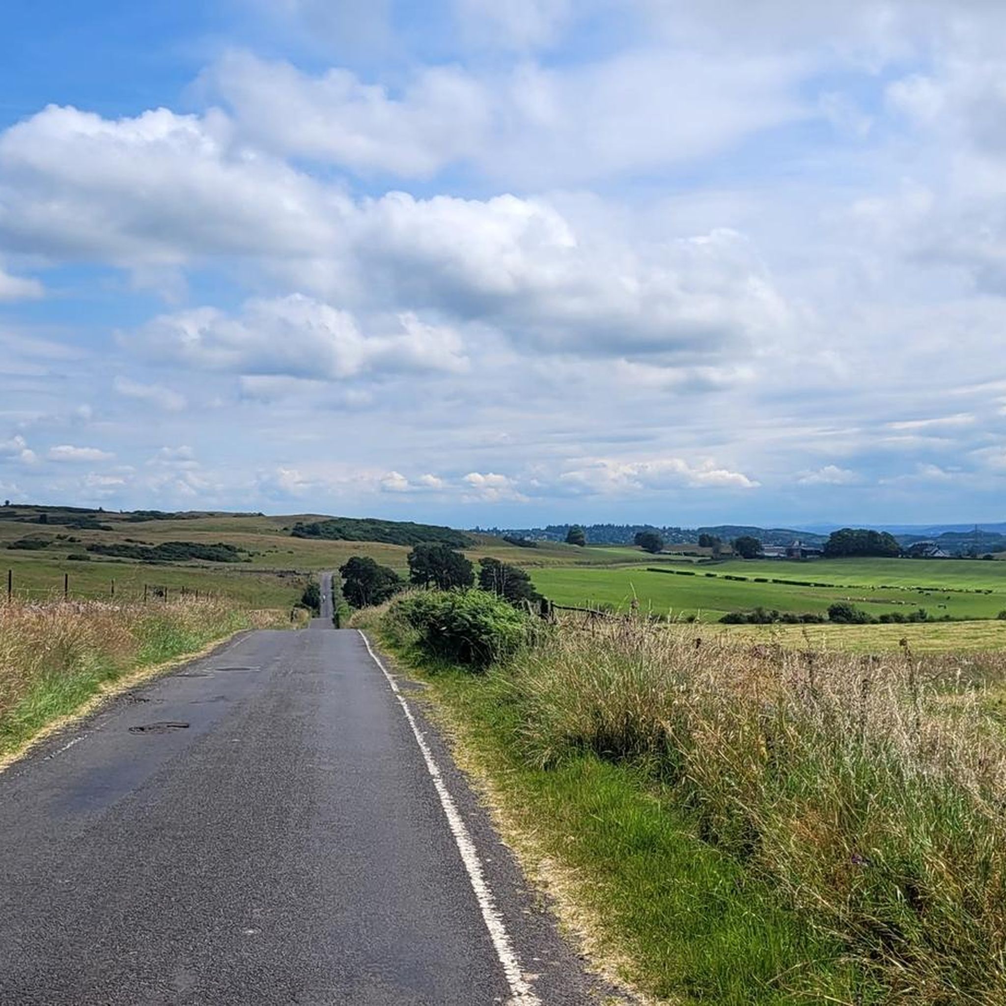
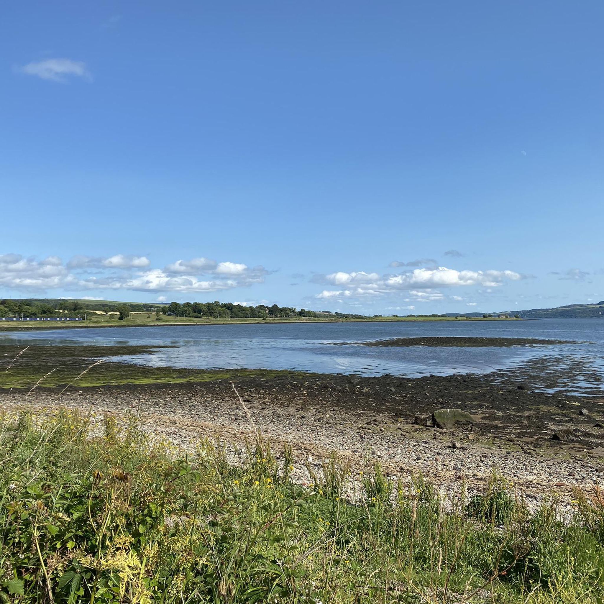
Hiking around Port Glasgow East offers diverse landscapes, from coastal paths along the Clyde Estuary to rolling hills and moorlands. The region is characterized by accessible natural features, including the Ardmore Point Peninsula and proximity to the Clyde Muirshiel Regional Park. This area provides a range of outdoor activities suitable for various fitness levels, with trails leading to scenic viewpoints and historical sites.
Best hiking trails around Port Glasgow East
- The most popular hiking route is Ardmore Point Peninsula –…
Last updated: September 1, 2026
5.0
(2)
28
hikers
Easy hike. Great for any fitness level. Easily-accessible paths. Suitable for all skill levels.
12
hikers
5.45km
01:29
80m
80m
Easy hike. Great for any fitness level. Easily-accessible paths. Suitable for all skill levels.

Sign up for free
2.0
(1)
5
hikers
18.6km
05:14
370m
370m
Hard hike. Very good fitness required. Easily-accessible paths. Suitable for all skill levels.
7
hikers
13.0km
03:35
220m
220m
Moderate hike. Good fitness required. Easily-accessible paths. Suitable for all skill levels.
8
hikers
7.59km
01:58
40m
50m
Easy hike. Great for any fitness level. Easily-accessible paths. Suitable for all skill levels.
Get access to more routes and recommendations from other explorers.
Sign up for free
Already have an account?
Our route recommendations are based on thousands of hikes, rides, and runs completed by other people on komoot.
Start today with a free account
Your next adventure awaits.
Login or Signup

Tips from the Community

Quite a steep descent. Watch your steps! Can be a bit slippery on the rocky path.
0
0
Slightly off the main track but the climb is well worth it with 360 views over Inverclyde, the Trossachs, and Glasgow. Just a few steps before the Trig Point, you have a bunch of information boards. Worth a read to find out more about the area.
0
0

Artwork to highlight Dumbarton Achievements
0
0

Lovely riverside path to make fairly quick progress between Balloch on Glasgow.
0
0


Right here on the southern tip of the Loch Lomond National Park you get a fabulous view of the iconic loch itself. It is the largest lake by surface area in Great Britain and stretches approximately 24 miles! The surrounding scenery is made up of picturesque hills, forests and villages and is known for it's impressive diverse wildlife.
2
0

These two streets are home to the city's oldest and most interesting buildings, including several churches, the West Dumbartonshire Council and the Sheriff Court.
0
0
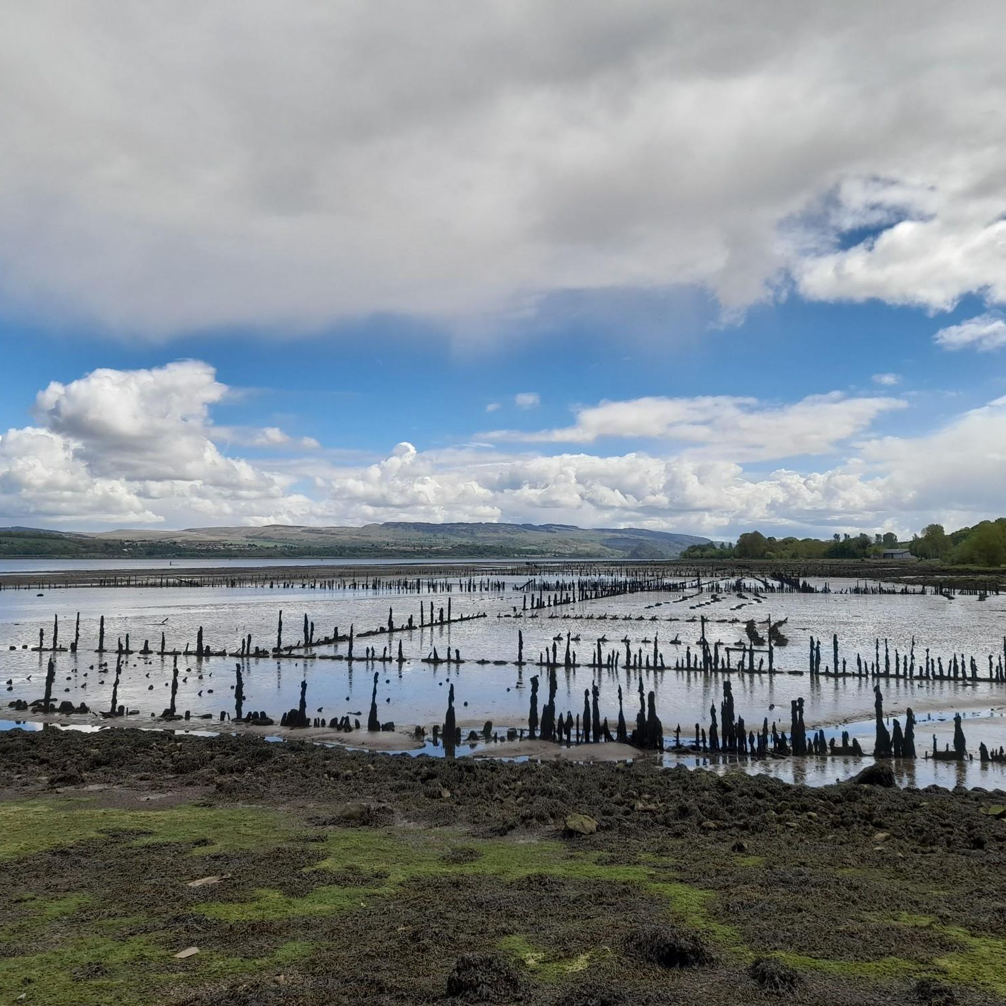
The northern side of the harbor practically serves as a ship graveyard (dozens of small and large barges lie here, some of which are only visible at low tide).
0
0
Frequently Asked Questions
How many hiking trails are available in Port Glasgow East?
There are over 110 hiking trails around Port Glasgow East, offering a wide range of options for different fitness levels and preferences. This includes 53 easy routes, 53 moderate routes, and 10 difficult routes.
Are there easy hiking routes suitable for beginners or families?
Yes, Port Glasgow East offers many easy routes perfect for beginners or families. For example, the View of Helensburgh – Ardmore Point Peninsula loop from Colgrain is an easy 2.9-mile (4.6 km) path that provides lovely coastal scenery. Another great option is the St Peter's Seminary – Kilmahew Castle Ruins loop from Cardross, which is 3.4 miles (5.4 km) and also considered easy.
What kind of terrain can I expect on hikes around Port Glasgow East?
The terrain around Port Glasgow East is diverse, ranging from accessible coastal paths along the Clyde Estuary to rolling hills and moorlands. You'll find routes with minimal elevation gain, like those around Ardmore Point Peninsula, as well as more challenging hill walks with significant ascents, such as those leading to Corlick Hill.
Are there any circular hiking routes in the area?
Yes, many routes in Port Glasgow East are circular, allowing you to start and end at the same point. A popular circular option is the Corlick Hill – Corlick Hill Trig Point loop from Harelaw Peaking Plant, a 2.3-mile (3.7 km) trail through hilly terrain.
What are some notable landmarks or natural features to see while hiking?
While hiking, you can explore various points of interest. The area offers views of the Clyde Estuary and Helensburgh. You might also encounter historical sites like St Peter's Seminary and Kilmahew Castle Ruins. For natural beauty, consider visiting View of the southern shore of Loch Lomond or Loch Thom.
Are there any longer or more challenging hikes for experienced hikers?
For experienced hikers seeking a challenge, there are several more demanding routes. One such option is the View of Loch Lomond loop from Cardross, a difficult 11.6-mile (18.6 km) trail with significant elevation gain, offering extensive views.
What do other hikers say about the trails in Port Glasgow East?
The trails in Port Glasgow East are highly rated by the komoot community, with an average score of 4.3 stars from over 600 reviews. Hikers often praise the diverse landscapes, from coastal views to challenging hills, and the accessibility of many routes.
Is public transport available to access hiking trails?
Yes, some trails are accessible via public transport. For instance, the Greenock Cut, located within Clyde Muirshiel Regional Park, can be conveniently reached by hourly trains from Glasgow Central to Drumfochar Station in Greenock.
Are there any hikes that offer views of Loch Lomond?
Absolutely. Several routes in the broader area provide stunning views of Loch Lomond. The View of Loch Lomond loop from Cardross is a prime example, offering expansive vistas of this iconic Scottish loch.
What is the best time of year to go hiking in Port Glasgow East?
While hiking is possible year-round, the spring and summer months (April to September) generally offer the most pleasant conditions with milder weather and longer daylight hours. Autumn also provides beautiful scenery with changing foliage. Always check local weather forecasts before heading out.
Are there any trails near water bodies like lakes or reservoirs?
Yes, the region offers trails near various water bodies. You can find routes around Loch Thom and the Gryfe Reservoir. The broader area also includes access to Loch Lomond, with highlights like View of the southern shore of Loch Lomond.
Can I bring my dog on the hiking trails in Port Glasgow East?
Many trails in Port Glasgow East are dog-friendly, allowing you to enjoy the outdoors with your canine companion. However, it's always recommended to keep dogs on a lead, especially in areas with livestock or wildlife, and to follow the Scottish Outdoor Access Code.
Most popular attractions around Port Glasgow East

Get inspired with the komoot mobile app


Explore more
Browse the best Hikes in other regions.
