The best walks and hikes around Glenelg And Arnisdale
4.5
(534)
3,663
hikers
15
hikes
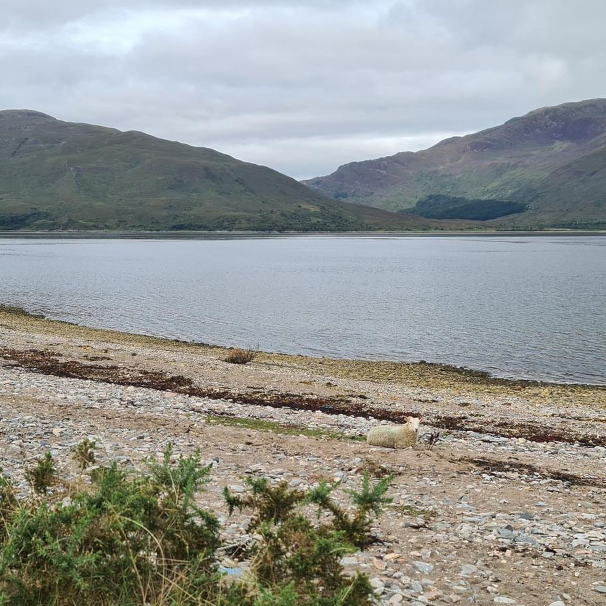
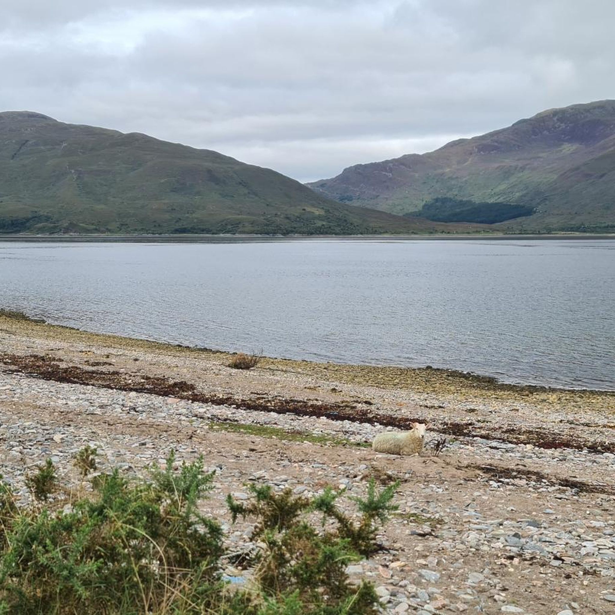
Hikes around Glenelg and Arnisdale explore a remote area of the Scottish Highlands, characterized by a rugged coastline, deep sea lochs, and prominent mountains. The landscape includes the high peak of Beinn Sgritheall, forested glens, and rivers such as the Glenmore and Arnisdale. The region also contains historical sites, including the Iron Age brochs of Dun Telve and Dun Troddan in Gleann Beag.
Best hiking trails around Glenelg And Arnisdale
- The most popular hiking route is Beinn Sgritheall loop from…
Last updated: October 10, 2026
4.6
(8)
137
hikers
13.6km
05:30
960m
960m
Hard hike. Very good fitness required. Sure-footedness, sturdy shoes and alpine experience required.
4.0
(1)
15
hikers
22.5km
05:56
220m
210m
Hard hike. Very good fitness required. Easily-accessible paths. Suitable for all skill levels.

4.6
(5)
15
hikers
17.2km
05:07
480m
480m
Hard hike. Very good fitness required. Easily-accessible paths. Suitable for all skill levels.
11
hikers
14.8km
06:42
1,050m
1,050m
Hard hike. Very good fitness required. Sure-footedness, sturdy shoes and alpine experience required.
3
hikers
13.6km
06:49
1,010m
1,010m
Hard hike. Very good fitness required. Sure-footedness, sturdy shoes and alpine experience required.
Get access to more routes and recommendations from other explorers.
Already have an account?
Our route recommendations are based on thousands of hikes, rides, and runs completed by other people on komoot.
Start today with a free account
Your next adventure awaits.
Popular around Glenelg And Arnisdale


Tips from the Community

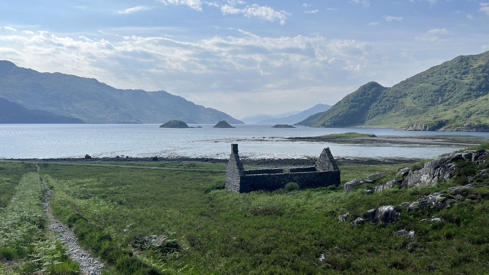
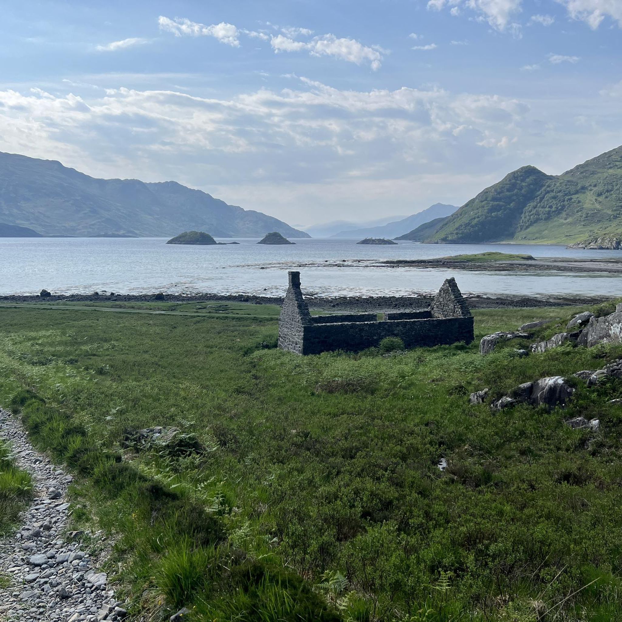
The crossing of the fields is epic (swampy) follow the blue line on Komoot well, which indicates a path despite everything, although it is very poorly visible in many places. Magnificent bothy but after the hike through the mountains, the crossing of the field psychologically shook me. When I saw the bothy I was relieved and my pace quickened. For an epic experience, I recommend it. Total silence and the network works, which is also reassuring in a way.
0
0


This video shows it clearly: https://youtu.be/rUwLWoiRfkY ```
0
0
Not a ruin, despite what is marked on the map. And the proper name on the OS map is Suardalan. It is actually possible to walk here from the bridge over the Glenmore River towards Braeside, though the path disappears from time to time
0
0

Another well preserved and remarkable Broch down glen Elg. The structure can still be walked into. This is a short walk from the other Broch.
0
0

There's nothing better than paths like this, and the feeling that you're alone in nature and history.
0
0
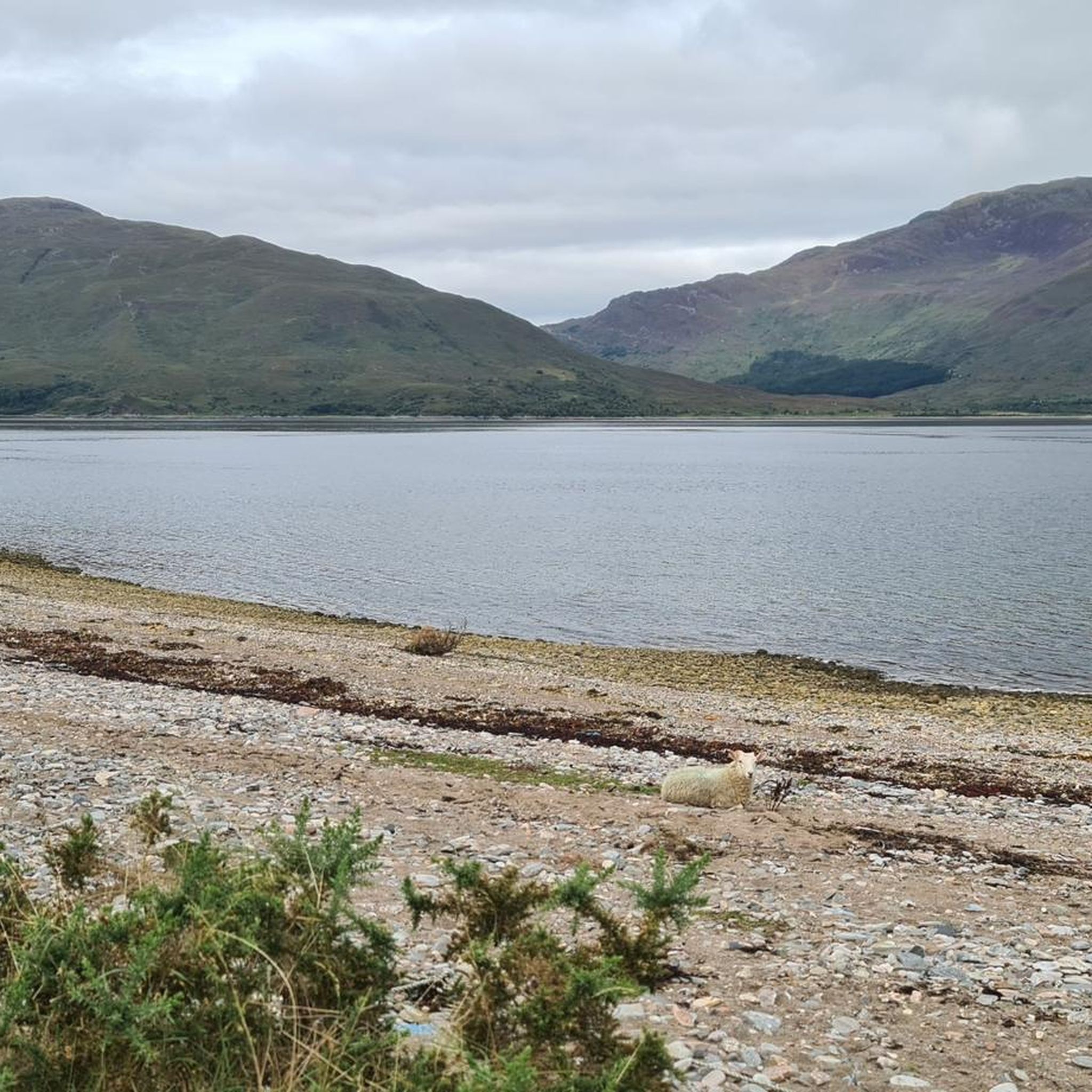
A small loch in the Knoydart Peninsula with a waterfall, Dubh Lochain is a lovely spot to breathe in the fresh Highland air or even take a swim.
0
0
Frequently Asked Questions
Are there any easy, family-friendly walks around Glenelg?
Yes, the area offers several gentle options perfect for families. A particularly good choice is the walk through Gleann Beag to see the ancient Glenelg Brochs. This relatively flat walk provides a fascinating glimpse into Scotland's Iron Age history with the impressive Dun Telve and Dun Troddan towers. It's both educational and manageable for younger children.
What is the best way to see the area's famous historical sites on foot?
To combine a good walk with history, the Glenelg to Sourdalan Bothy loop is an excellent option. This route takes you directly past the remarkable 2,000-year-old Glenelg Brochs. For more details on these structures before you go, you can visit the Historic Environment Scotland website.
I'm looking for a challenging Munro to climb. What should I expect from Beinn Sgritheall?
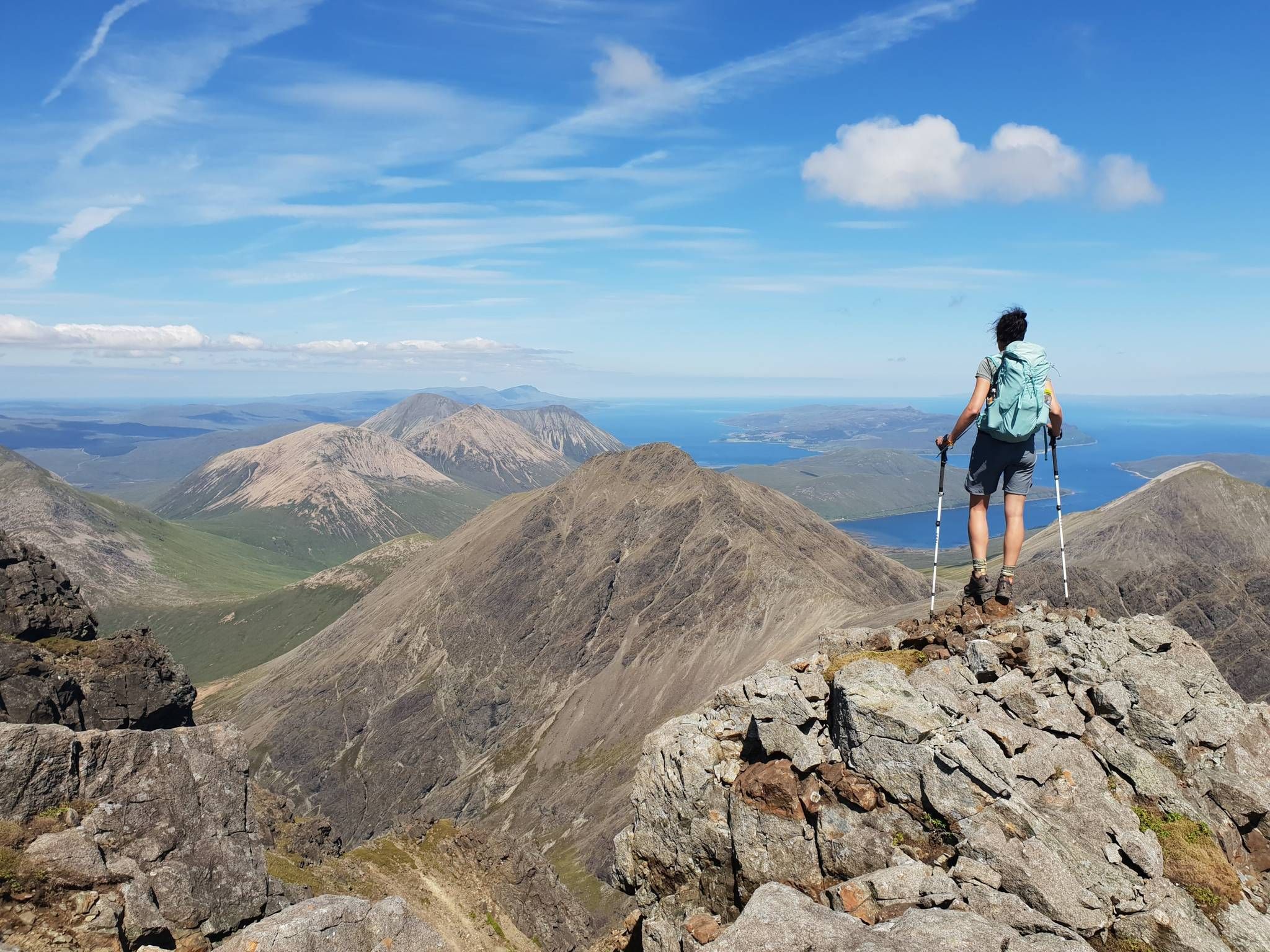
Beinn Sgritheall is the highest peak in the area and offers a formidable but rewarding challenge. The ascent is steep with some scree sections, requiring a good level of fitness and mountain experience. The payoff is the spectacular panoramic view across Loch Hourn to the peaks of Knoydart and Skye. The Beinn Sgritheall loop from Glenelg is a demanding full-day hike with over 950 meters of elevation gain.
How do the coastal walks compare to the mountain hikes?
The region offers two distinct hiking experiences. Mountain hikes, like the ascent of Beinn Sgritheall, are strenuous and focus on reaching high summits for vast, panoramic views of the surrounding lochs and peaks. Coastal walks are generally less demanding and provide a different perspective, with stunning views of the sea, the Isle of Skye, and the chance to spot marine wildlife. They often follow historic paths, like the old herring path at Corran.
Are there any circular walks available?
Yes, there are several excellent circular routes. For a varied day out, the Dubh Lochain loop from Corran is a great choice. This 17 km trail takes you through a classic Highland landscape of lochans and moorland, offering a true sense of the region's wild beauty.
What are the chances of seeing wildlife while hiking?
Wildlife spotting opportunities are excellent due to the area's remote and unspoiled nature. Red deer are frequently seen in the glens and on the hillsides. Keep an eye on the sky for golden eagles and sea eagles, particularly near the coast. Otters can be spotted along the shoreline and in the lochs, while the Kylerhea narrows are home to a seal colony.
Can I bring my dog on the trails?
Dogs are generally welcome on the trails, but it's essential to keep them under control, especially between April and August during the bird nesting season and at all times near livestock. The terrain can be rugged, so ensure your dog is fit enough for the chosen route. Some routes may involve stiles that could be difficult for larger dogs to cross.
What should I pack for a day hike in Glenelg and Arnisdale?
The weather in the Scottish Highlands can change rapidly. Always carry waterproof and windproof clothing, even if the forecast is good. Sturdy, waterproof hiking boots are essential. Also pack extra layers, a map and compass (and know how to use them), a fully charged phone, plenty of water, and enough food for your hike.
Is it possible to incorporate the Glenelg-Skye Ferry into a walk?
Yes, the Glenelg-Skye Ferry is a unique experience that can be part of your hiking plans. You can walk to the ferry terminal at Kylerhea, cross over to Skye for a walk there, and return. It's the last manually operated turntable ferry in Scotland and offers a charming way to travel across the narrows, with good chances of spotting seals.
Are there any pubs or cafes for a post-hike meal?
Due to the remote nature of the peninsula, options are limited but you can find welcoming local establishments. The village of Glenelg has a hotel with a pub that is popular with walkers for a well-earned meal and drink after a day on the hills. It's always a good idea to check opening times in advance, especially outside of the main tourist season.
What do other hikers think of the trails around Glenelg and Arnisdale?
The area is highly regarded by the komoot community, with an average rating of 4.6 stars. Hikers frequently praise the sense of remoteness, the dramatic scenery combining mountains and sea, and the excellent condition of the paths. The challenging ascent of Beinn Sgritheall and the historical interest of the Glenelg Brochs are often mentioned as highlights.
Where can I find a challenging hike in the remote Knoydart area?
For a true wilderness experience, you can access the Knoydart peninsula from the area. The Ladhar Bheinn from Barisdale route is a classic, tackling one of Britain's most remote Munros. This is a very serious undertaking requiring careful planning, excellent navigation skills, and a high level of fitness, rewarding you with unparalleled solitude and dramatic landscapes.
Most popular routes around Glenelg And Arnisdale
Most popular attractions around Glenelg And Arnisdale

Get inspired with the komoot mobile app


Explore more
Browse the best Hikes in other regions.
