The best walks and hikes around Cromdale And Advie
4.5
(455)
2,708
hikers
99
hikes
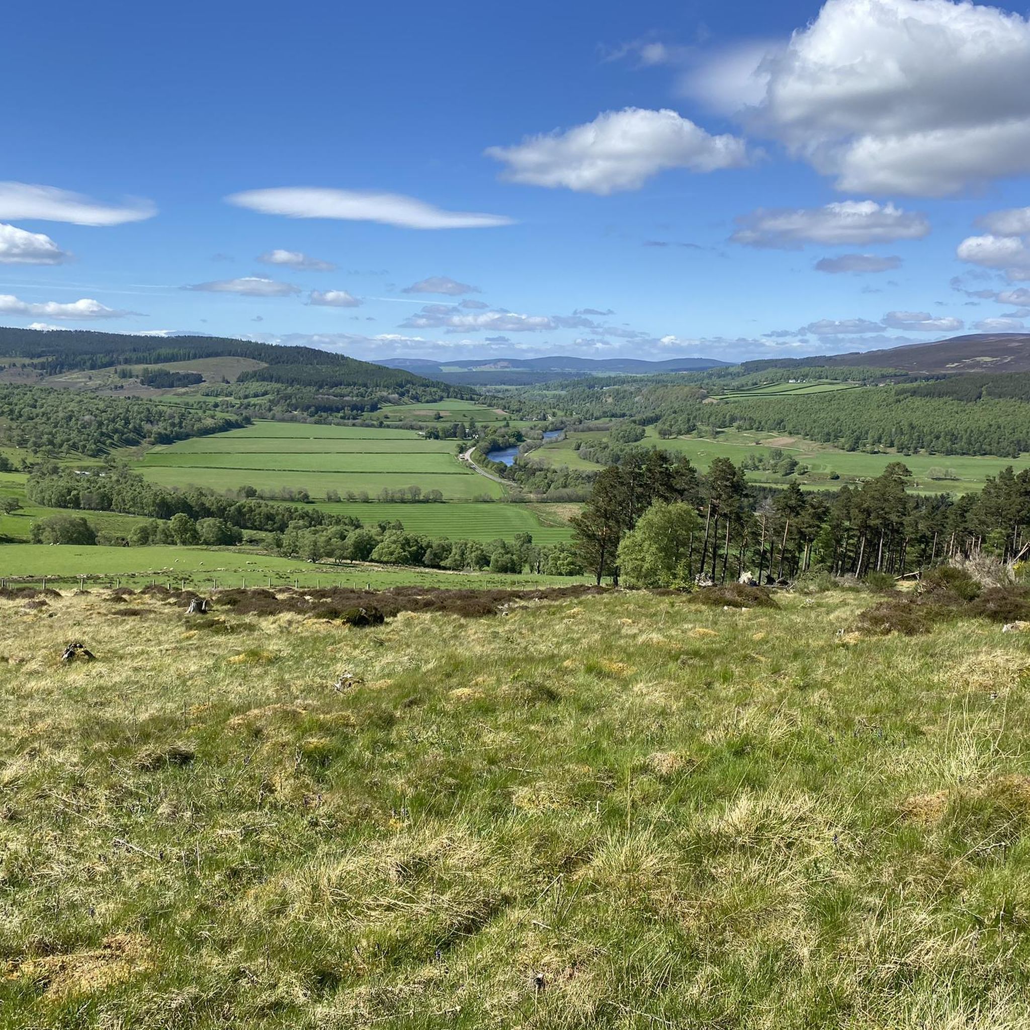
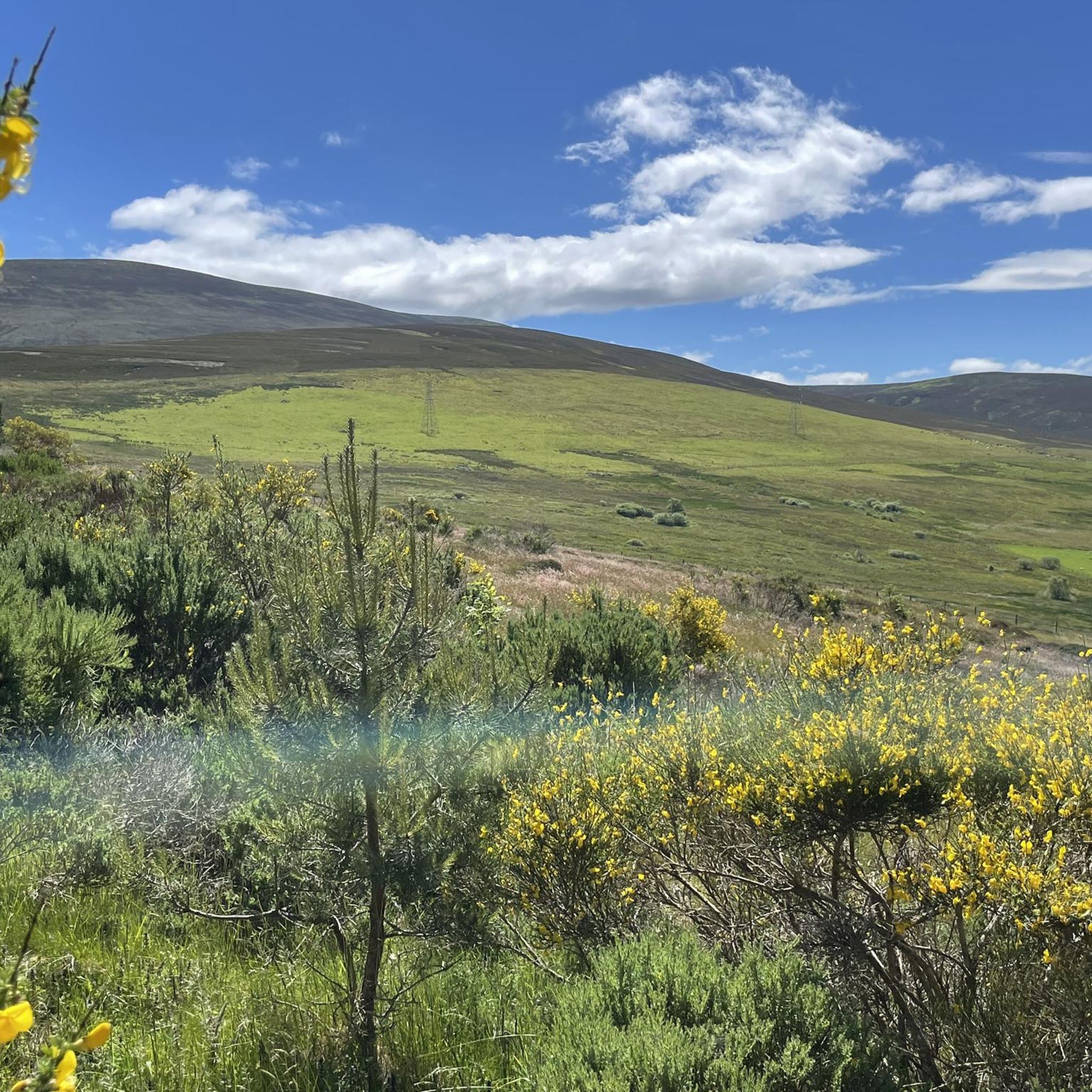
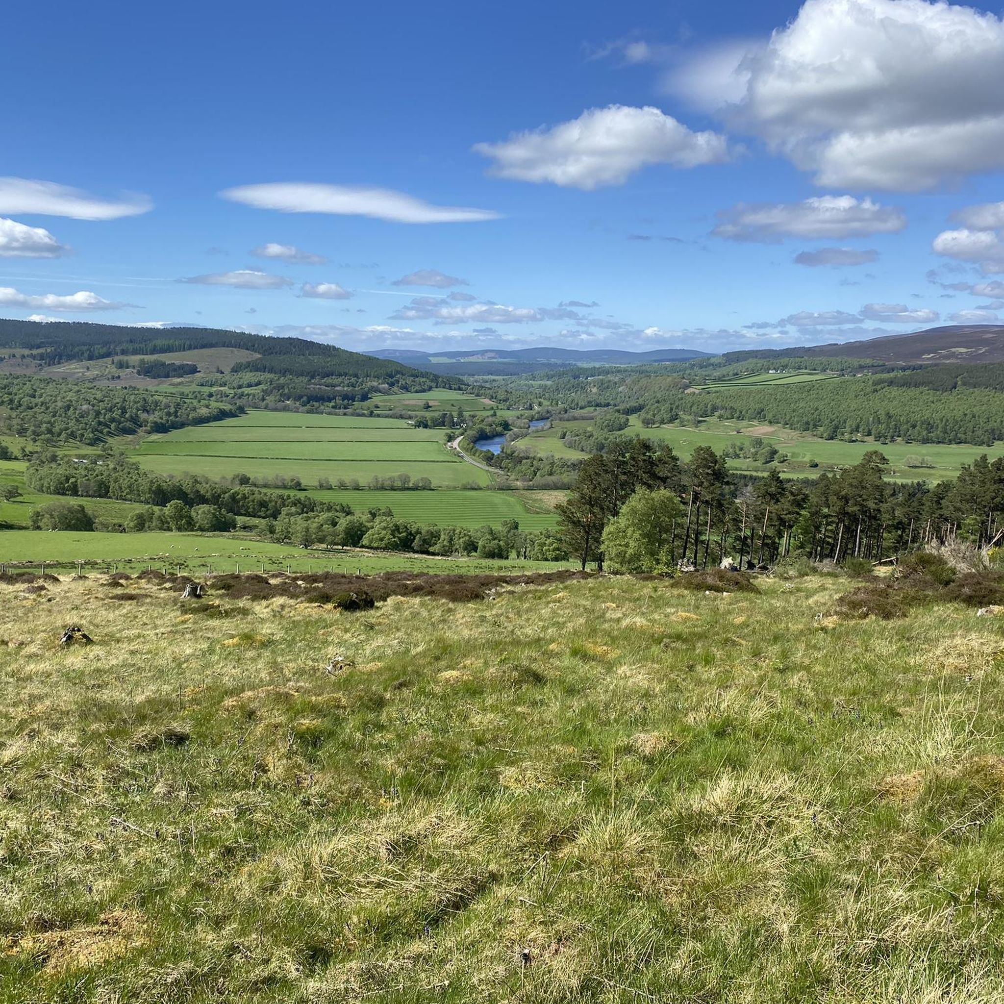
Hiking around Cromdale And Advie, located within the Scottish Highlands and partly in the Cairngorms National Park, features diverse terrain. The region is characterized by ancient woodlands, peaceful riverside paths along the River Spey, and expansive heather-clad moorland hills. The Cromdale Hills form a prominent ridge, offering views across Speyside and towards the Cairngorms.
Best hiking trails around Cromdale And Advie
- The most popular hiking route is The Basin – Sheep Track Singletrack loop from Loch Mhic Leoid, a 9.6 miles (15.5 km) trail that takes 4 hours 13 minutes to complete. This moderate route traverses varied terrain with views of the surrounding hills.
- Another top favourite among local hikers is Anagach Woods Trails – Cromal Station loop from Balmenach Distillery, a moderate 5.3 miles (8.5 km) path. This trail explores the ancient woodlands of Anagach Woods.
- Local hikers also love the Cromdale Church and Cemetery loop from Church car park, a 6.1 miles (9.8 km) trail leading through local landscapes, often completed in about 2 hours 30 minutes.
- Hiking around Cromdale And Advie is defined by ancient woodlands, riverside paths along the River Spey, and heather-clad moorland hills. The network offers options for various ability levels, from easy strolls to more challenging ascents.
- The routes in Cromdale And Advie are highly rated by the komoot community with an average score of 4.5 stars from over 300 reviews. More than 2000 hikers have used komoot to explore Cromdale And Advie's varied terrain.
Last updated: September 1, 2026
5.0
(2)
17
hikers
15.5km
04:13
230m
230m
Moderate hike. Good fitness required. Easily-accessible paths. Suitable for all skill levels.
4.7
(3)
19
hikers
Moderate hike. Good fitness required. Easily-accessible paths. Suitable for all skill levels.

Sign up for free
4.0
(1)
21
hikers
Moderate hike. Good fitness required. Easily-accessible paths. Suitable for all skill levels.
3.0
(1)
6
hikers
Moderate hike. Good fitness required. Easily-accessible paths. Suitable for all skill levels.
4.0
(1)
11
hikers
Moderate hike. Good fitness required. Easily-accessible paths. Suitable for all skill levels.
Get access to more routes and recommendations from other explorers.
Sign up for free
Already have an account?
Our route recommendations are based on thousands of hikes, rides, and runs completed by other people on komoot.
Start today with a free account
Your next adventure awaits.
Login or Signup
Other adventures around Cromdale And Advie

Tips from the Community

still passable (April 2026) also by car.
0
0


Met an old gentleman last year who said it was actually called Knockando Station and that he used to catch the train to go to school in Aberlour each day.
0
0

The Victorians must shake their head in wonder and sadness at how their industrial might as been dismantled their industry.
0
0

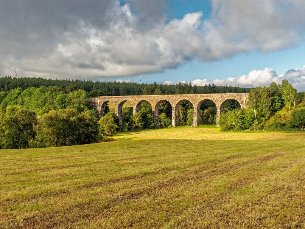
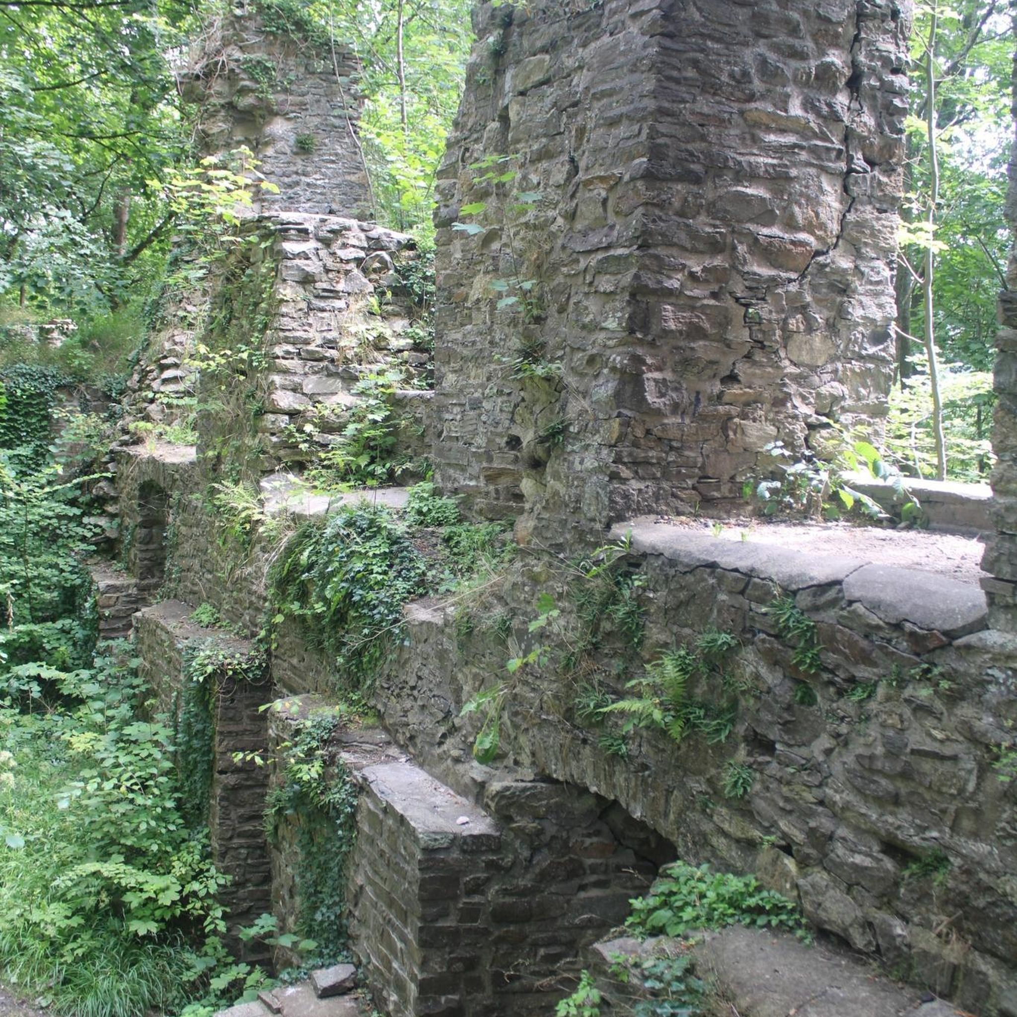
Old railway bridge from 1863, which was taken out of service in 1968. Now part of the Speyside Way
0
0
Not always easy to understand, the signage
0
0
Disused Cromdale railway station on the former railway line. It seems as if the old rooms can be rented as an apartment or party location
0
0
Frequently Asked Questions
How many hiking trails are available in Cromdale And Advie?
Cromdale And Advie offers a wide selection of hiking routes, with over 100 trails documented on komoot. These range from easy strolls to more challenging ascents, catering to various fitness levels.
What types of landscapes can I expect to see while hiking in Cromdale And Advie?
The region features diverse terrain, including ancient woodlands, peaceful riverside paths along the River Spey, and expansive heather-clad moorland hills. The prominent Cromdale Hills offer panoramic views across Speyside and towards the majestic Cairngorms.
Are there any easy, family-friendly walks in Cromdale And Advie?
Yes, there are many easy routes suitable for families. Over half of the trails (53 out of 100) are rated as easy. Paths through Anagach Woods and loops around Grantown-on-Spey are popular choices for a relaxed outing.
Are there any circular hiking routes in Cromdale And Advie?
Many of the trails in Cromdale And Advie are designed as circular routes, allowing you to start and end at the same point. An example is the Cromdale Church and Cemetery loop from Church car park, which offers a pleasant 9.8 km walk through local landscapes.
What are some notable viewpoints or landmarks to look out for on hikes?
Hikers can discover several interesting points. For spectacular vistas, consider visiting Carn Daimh Summit or View from Ben Rinnes. Historical sites like Piper's Stone and Pictish Symbol Stones also add cultural interest to your journey.
Can I hike with my dog in Cromdale And Advie?
Yes, many trails in Cromdale And Advie are dog-friendly. The region's varied terrain, from woodlands to riverside paths, provides excellent opportunities for walks with your canine companion. Always keep dogs under control, especially near livestock or wildlife, and follow the Scottish Outdoor Access Code.
What do other hikers enjoy most about the trails in Cromdale And Advie?
The trails in Cromdale And Advie are highly rated by the komoot community, with an average score of 4.5 stars from over 380 reviews. Hikers often praise the region's diverse landscapes, from ancient woodlands to open moorland, and the well-maintained paths that make for enjoyable experiences.
Are there any challenging hikes for experienced trekkers?
While most routes are easy to moderate, there are some more challenging options. Six of the 100 routes are rated as difficult, often involving significant elevation gains in the heather-clad Cromdale Hills. These routes offer rewarding panoramic views for those seeking a strenuous adventure.
What kind of wildlife might I encounter while hiking?
The region is home to diverse wildlife. Keep an eye out for local species such as roe deer, red squirrels, and various birdlife. If you're lucky, you might even spot the rare capercaillie, particularly within the native woodlands.
Are there any hikes that explore the ancient woodlands?
Absolutely. The area is known for its ancient woodlands. A popular route that takes you through these natural environments is the Anagach Woods Trails – Cromal Station loop from Balmenach Distillery, which is a moderate 8.5 km path.
Where can I find riverside walks along the River Spey?
Many paths in Cromdale And Advie follow the River Spey, offering peaceful riverside walks. These trails often provide gentle gradients and scenic views of the water and surrounding nature. Specific routes can be found around Grantown-on-Spey and the Old Spey Bridge area.
What is a good moderate hike to experience the region's varied terrain?
For a moderate hike that showcases the region's varied terrain and offers views of the surrounding hills, consider The Basin – Sheep Track Singletrack loop from Loch Mhic Leoid. This 15.5 km trail typically takes around 4 hours and 13 minutes to complete.
Most popular routes around Cromdale And Advie
Most popular attractions around Cromdale And Advie

Get inspired with the komoot mobile app


Explore more
Browse the best Hikes in other regions.
