The best road cycling routes around Langside, Battlefield And Camphill
4.4
(764)
20,364
riders
554
rides
Road cycling routes around Langside, Battlefield And Camphill offer a blend of urban green spaces, historical landmarks, and connections to wider regional cycling networks. The area features continuous infrastructure improvements, including segregated cycleways like the South City Way, enhancing safety and accessibility for cyclists. Terrain primarily consists of urban and suburban roads, with access to longer routes that extend into more varied landscapes, including national cycle networks and windfarm trails. This South Glasgow region provides a mix of relatively flat…
Last updated: September 4, 2026
4.5
(35)
798
riders
65.6km
03:01
650m
650m
Moderate road ride. Good fitness required. Mostly well-paved surfaces and easy to ride.
4.1
(7)
197
riders
40.4km
02:03
400m
400m
Moderate road ride. Good fitness required. Mostly well-paved surfaces and easy to ride.

Sign up for free
5.0
(2)
166
riders
70.5km
03:00
530m
530m
Moderate road ride. Good fitness required. Mostly well-paved surfaces and easy to ride.
4.5
(2)
148
riders
52.8km
02:29
520m
520m
Moderate road ride. Good fitness required. Mostly well-paved surfaces and easy to ride.
5.0
(3)
117
riders
62.2km
03:19
530m
530m
Moderate road ride. Good fitness required. Mostly well-paved surfaces and easy to ride.
Get access to more routes and recommendations from other explorers.
Sign up for free
Already have an account?
Our route recommendations are based on thousands of hikes, rides, and runs completed by other people on komoot.
Start today with a free account
Your next adventure awaits.
Login or Signup
Popular around Langside, Battlefield And Camphill
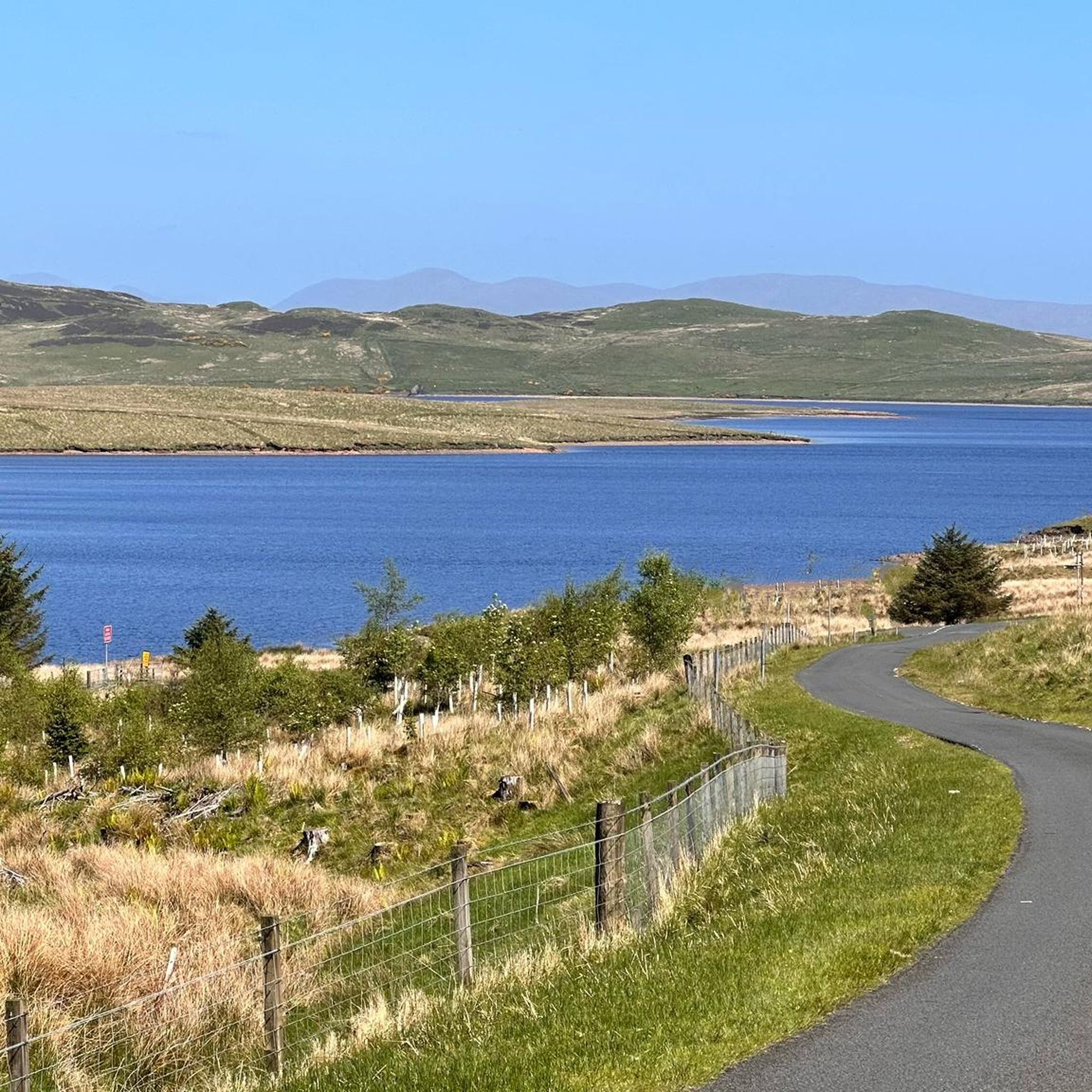
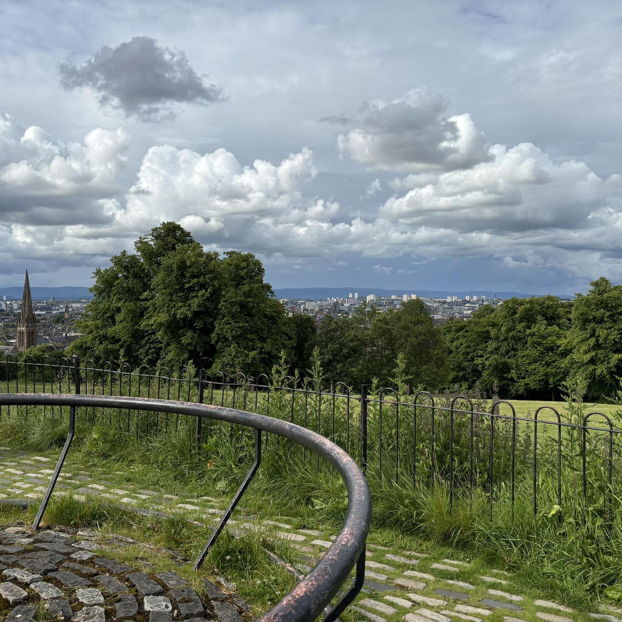
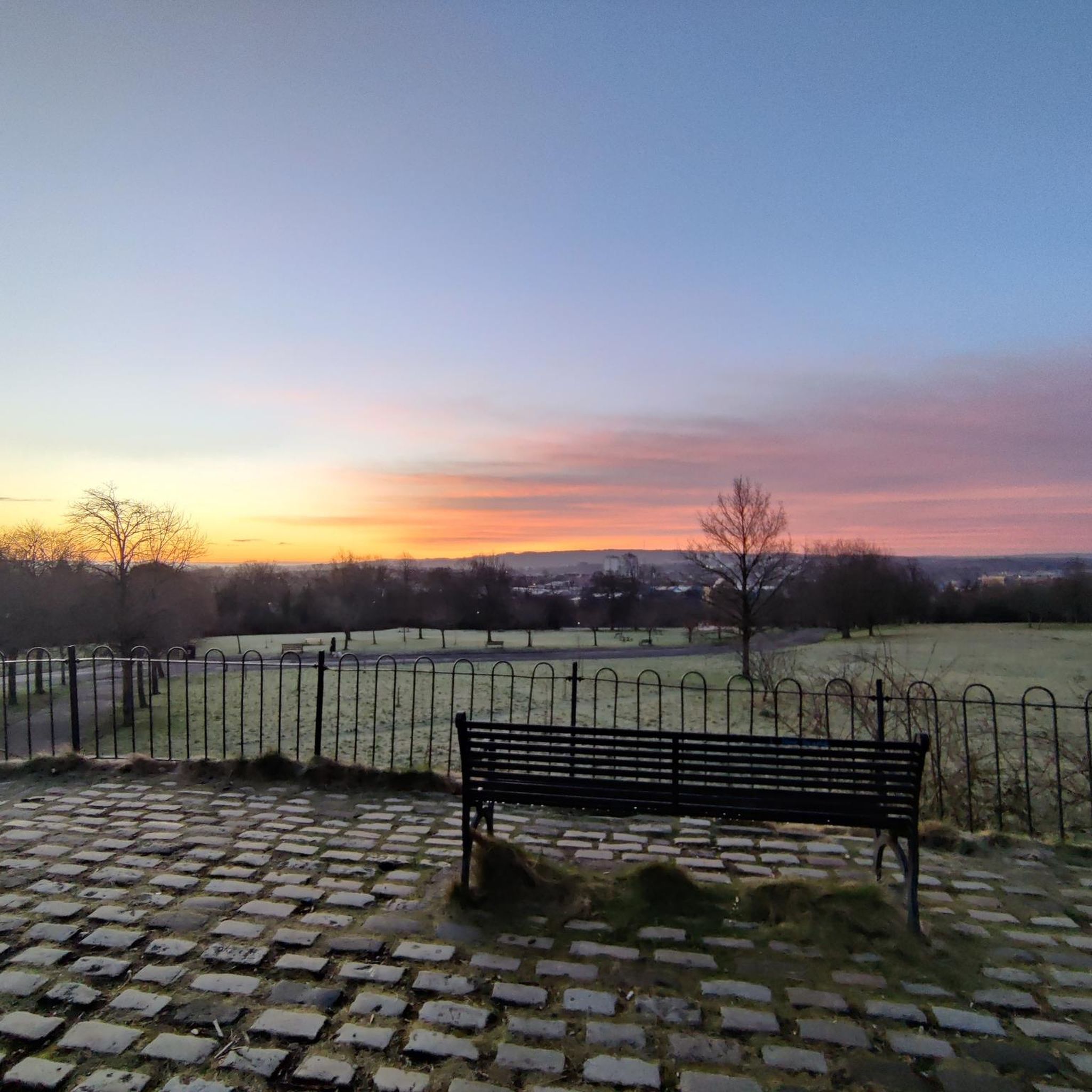
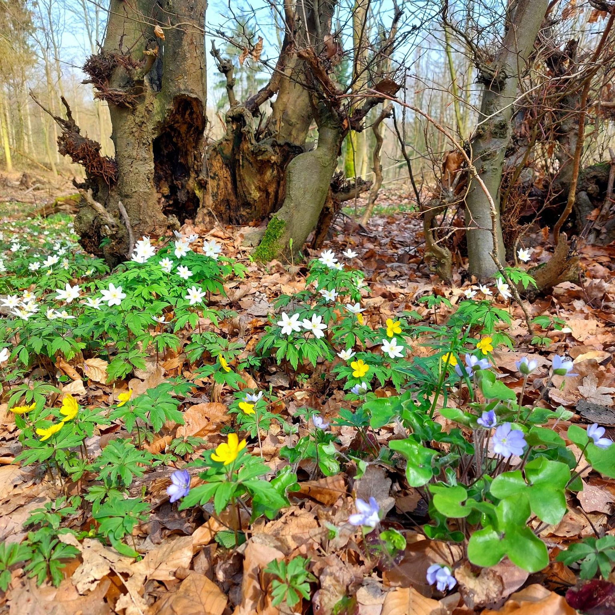
Tips from the Community

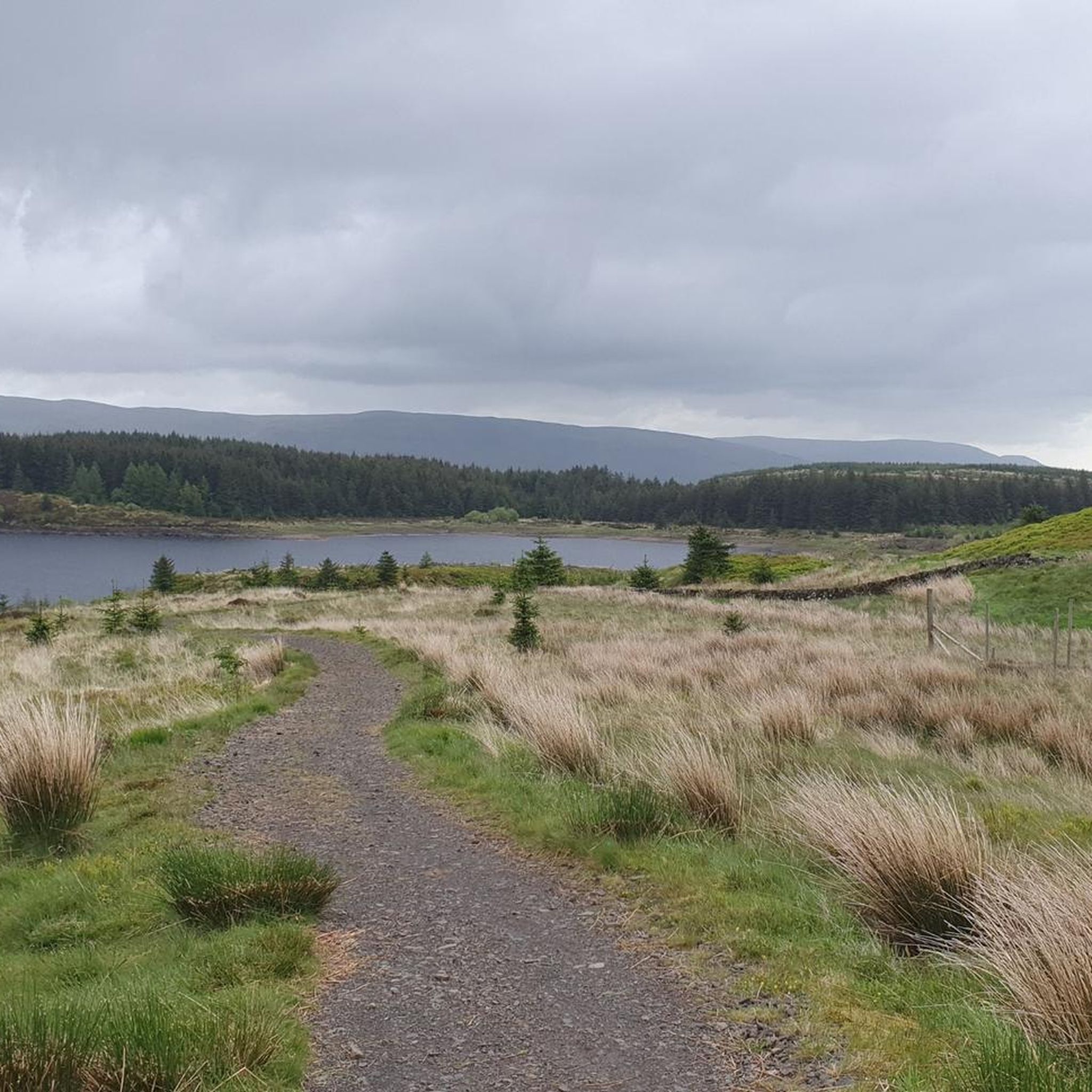
You'll generally see more cyclists than cars on this road. It makes a nice wee on road segment in a 50km loop Glasgow Southside to Stewarton, following the cycle lane up through Giffnock and Newton Mearns, turning off the cycle path at Malletsheugh Road - which has been resurfaced since I last rode it and was much more enjoyable! Dodside road is undulating with some wee kickers and nice descents. Road surface is pretty decent, but watch out for small patches of pothole hell. Can often see hunting birds soaring and swooping here 🦅
0
0

This road is a popular choice for cyclists, offering stunning views over Glasgow and surrounded by beautiful scenery. It also passes White Loch, a great swimming spot with easy access if you fancy a quick dip!
1
0

One of several Burns hot spots in Kilmarnock.
1
0

Commemorated Kilmarnock Equitable Societies jubilee in 1910
0
0
Burns' first publication was in Kilmarnock and the mural commemorates his links to the East Ayrshire town.
0
0

A good amount of uphill ride, but nice and very doable.
0
0
Frequently Asked Questions
What types of road cycling routes can I find in Langside, Battlefield, and Camphill?
The area offers a diverse range of road cycling experiences, from urban loops through green spaces to longer routes connecting to regional and national networks. You'll find routes that utilize dedicated cycleways like the South City Way, as well as those that venture towards more open landscapes such as the Whitelee Windfarm or connect to the National Cycle Network.
Are there easy or beginner-friendly road cycling routes in the Langside area?
Yes, there are several easy routes suitable for beginners. For example, the Grain & Grind, Cathcart – Thomsons Coffee loop from Mount Florida is an easy 10.8-mile route that takes about 50 minutes, offering urban cycling with local cafe stops. Another option is the Bellahouston Park Pathway loop from Mount Florida, which is 11.1 miles and also considered easy.
What are some longer or more challenging road cycling routes available?
For those seeking a longer ride, the Dunlop Main Street – The Burrell Collection loop from Mount Florida is a moderate 38.3-mile path that connects urban areas with more open landscapes. The region also serves as a gateway to extensive networks like the Whitelee Windfarm, which offers routes of varying difficulty, including a 35.3-mile gravel loop, and connections to NCN Route 7 for even longer journeys.
Are there any family-friendly road cycling options in Glasgow's Southside?
While dedicated road cycling routes are generally for more experienced riders, the area's continuous infrastructure improvements, including segregated cycleways like those on Queen's Drive and Langside Road, make urban cycling safer. Green spaces like Queen's Park also offer recreational areas that can be enjoyed by families. For traffic-free options, the Forth & Clyde Canal Towpath, accessible from the wider Glasgow area, is a 35-mile route suitable for all cycling levels.
Where can I find scenic viewpoints or interesting landmarks along the road cycling routes?
Many routes pass through or near notable landmarks and green spaces. You can enjoy panoramic views of Glasgow from Queen's Park. Historical sites like the Battlefield Monument and the iconic Battlefield Rest are also along routes. For natural features, consider routes that lead towards Craigie Linn Waterfall or Linn Park Waterfall. The Snuff Mill Bridge – Waterfoot Bridge loop from Mount Florida takes you through urban green spaces and along water features.
Are there places to stop for refreshments like cafes or pubs along the cycling routes?
Yes, the urban nature of Langside, Battlefield, and Camphill means there are numerous cafes and pubs. The Grain & Grind, Cathcart – Thomsons Coffee loop from Mount Florida specifically highlights local cafe stops. The area around Battlefield Rest is also known for its local establishments, providing convenient places to refuel during your ride.
What is the best time of year for road cycling in Langside, Battlefield, and Camphill?
Spring and summer generally offer the most pleasant conditions for road cycling, with milder temperatures and longer daylight hours. However, with the continuous infrastructure improvements and well-maintained roads, cycling is possible year-round. Always check local weather forecasts, especially during autumn and winter, for optimal riding conditions.
How accessible are the road cycling routes by public transport?
The Langside, Battlefield, and Camphill areas are well-served by public transport, making many routes easily accessible. The South City Way, for instance, connects Queen's Park directly to Glasgow city center, which is a major transport hub. Many local train stations and bus routes provide access points to the cycling network, allowing you to start and end your rides conveniently.
Is parking available for cyclists near the starting points of routes?
Parking options are available throughout the Southside of Glasgow. For routes starting near Queen's Park, there is often on-street parking in the surrounding residential areas, though it can be busy. It's advisable to check local parking regulations and availability, especially during peak times, or consider using public transport to reach your starting point.
What do other road cyclists think about the routes in this area?
The road cycling routes around Langside, Battlefield, and Camphill are highly rated by the komoot community, with an average score of 4.0 stars from over 4 reviews. Cyclists often praise the blend of urban green spaces, the historical landmarks encountered, and the improved cycling infrastructure that makes exploring the area enjoyable.
Are there any routes that connect to wider national cycle networks?
Absolutely. The area is well-connected to the National Cycle Network (NCN). You can access NCN Route 7, which extends towards Lochwinnoch and even Loch Lomond & the Trossachs National Park. NCN Route 756 also connects East Kilbride to Rutherglen, offering further traffic-free paths and on-road sections for longer-distance cycling.
Can I rent a bike in the Langside, Battlefield, or Camphill area?
Yes, Glasgow has bike hire schemes with stations conveniently located around Battlefield and Langside. This makes it easy for visitors or those without their own bikes to explore the area's road cycling routes.
Most popular routes around Langside, Battlefield And Camphill
Most popular attractions around Langside, Battlefield And Camphill

Get inspired with the komoot mobile app


Explore more
Browse the best Road cycling routes in other regions.
