The best road cycling routes around Anderston
4.4
(765)
20,583
riders
14
rides
Road cycling routes around Anderston, an urban area on the north bank of the River Clyde in Glasgow, offer connections to a wider cycling network. The terrain primarily features urban and riverside paths, with some routes extending towards surrounding hills. Dedicated segregated bike lanes provide a safer environment for cyclists. The area's integration into the National Cycle Network allows for varied rides along the waterway and beyond.
Best road cycling routes around Anderston
- The most popular road cycling route is…
Last updated: October 14, 2026
5.0
(1)
124
riders
Moderate road ride. Good fitness required. Some segments of this route may be unpaved and difficult to ride.
76
riders
Moderate road ride. Good fitness required. Mostly well-paved surfaces and easy to ride.

5.0
(1)
20
riders
Moderate road ride. Good fitness required. Mostly well-paved surfaces and easy to ride.
23
riders
Moderate road ride. Good fitness required. Mostly well-paved surfaces and easy to ride.
31
riders
11.1km
00:28
50m
50m
Easy road ride. Great for any fitness level. Mostly well-paved surfaces and easy to ride.
Get access to more routes and recommendations from other explorers.
Already have an account?
Our route recommendations are based on thousands of hikes, rides, and runs completed by other people on komoot.
Start today with a free account
Your next adventure awaits.
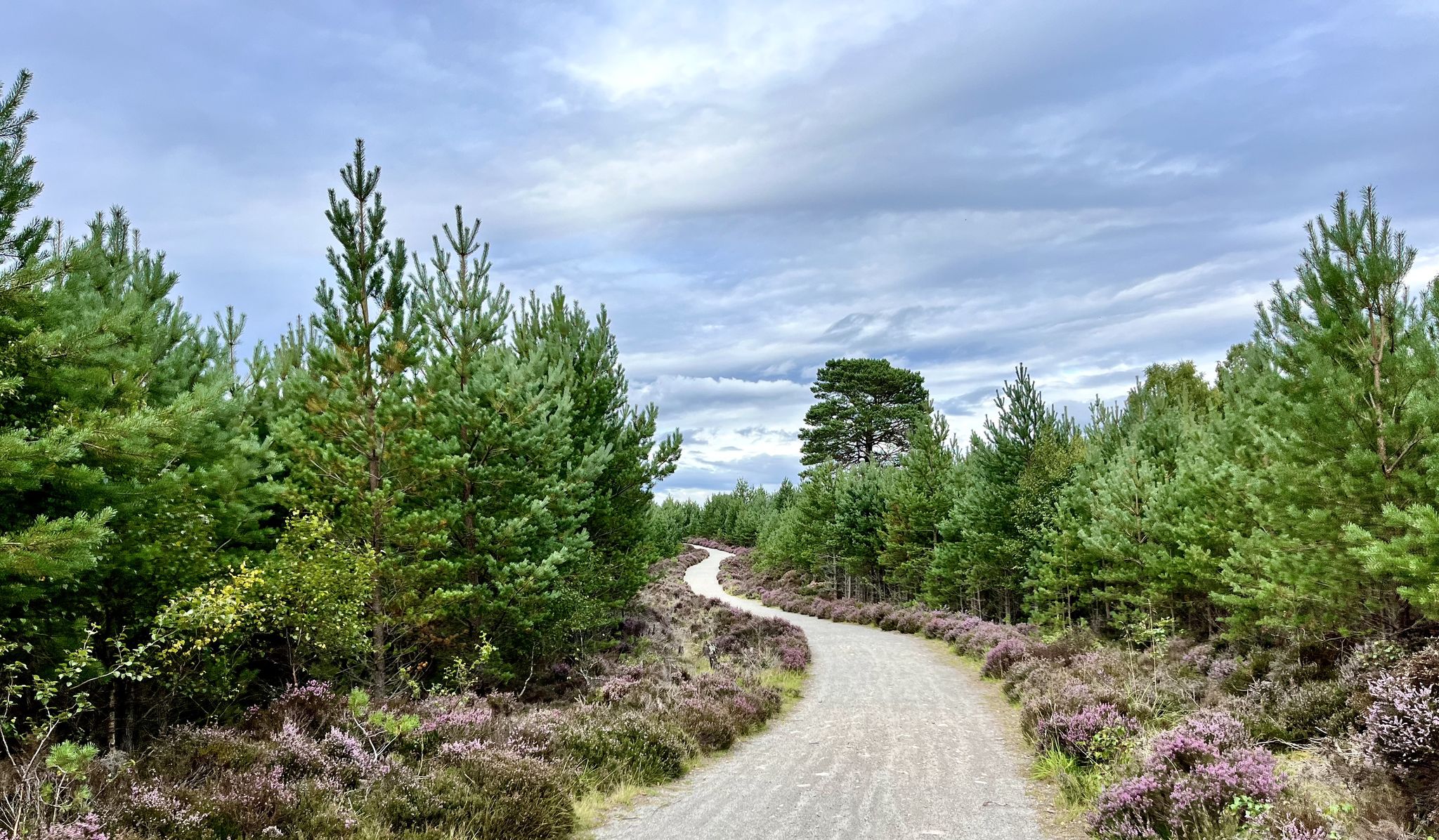

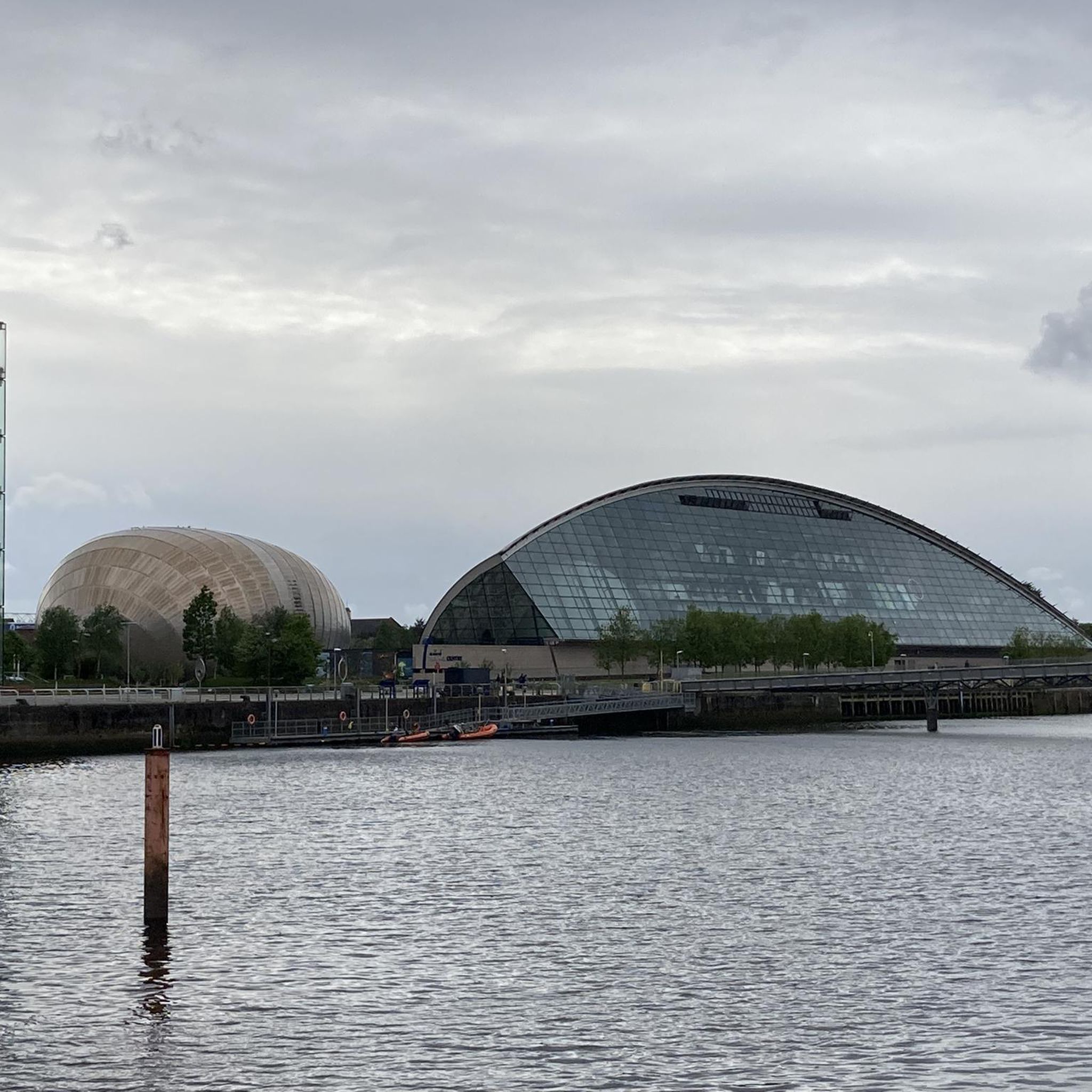
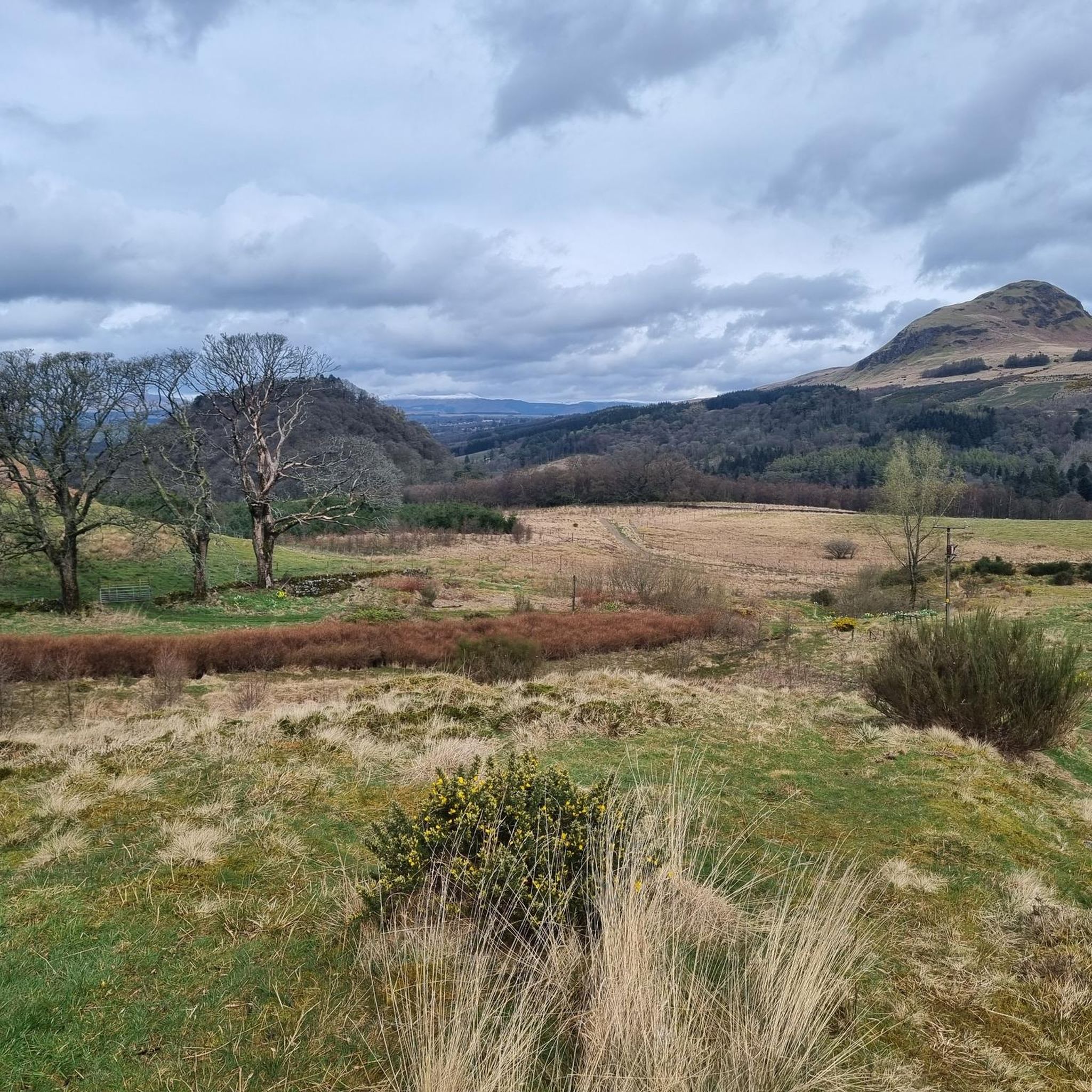
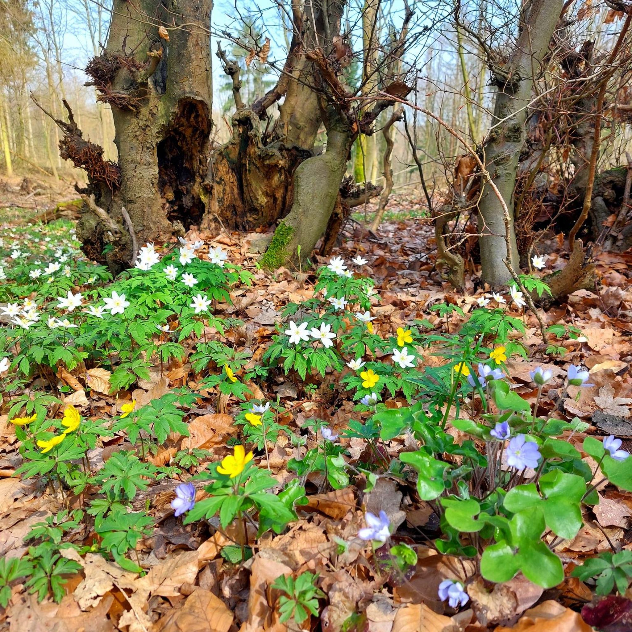
Other adventures around Anderston

Tips from the Community

According to photos seen on Facebook, subsidence much worse and fences extended, perhaps no longer passable. Membership of Cycle Ayrshire on Facebook required to see photos. https://www.facebook.com/groups/cycleayrshire/permalink/4627742070783869/?rdid=ENu0XFqraGIsZXq9#
0
0

A ferry departs every 20-30 minutes. https://www.western-ferries.co.uk/ On some days, queues can form on the road. However, pedestrians can usually always get on board. Tickets can be purchased online in advance.
0
0
Beautiful for strolling along the promenade. Pedestrians and cyclists are often separated by a dividing line, but still keep your eyes open. Many benches invite you to linger and dream.
0
0

The Clyde Arc is a road bridge spanning the River Clyde in Glasgow, connecting the Finnieston area with Pacific Quay.
0
0
The views of the River Clyde shows the Finnieston Crane and the Clyde Arc Bridge
0
0
It was constructed in 1931 and began operation in 1932 to lift heavy machinery, such as steam locomotives and tanks, onto ships for export.
0
0

Obelisk erected in 1806 for the hero of the Battle of Trafalgar in 1805.
1
0
Bridge over the Clyde for pedestrians and two-wheelers
1
0
Frequently Asked Questions
How many road cycling routes are available around Anderston?
There are over 10 road cycling routes available around Anderston on komoot, catering to various skill levels.
What kind of terrain can I expect on road cycling routes near Anderston?
Road cycling around Anderston primarily features urban and riverside paths, with dedicated segregated bike lanes for a safer experience. Some routes extend towards the surrounding hills, offering varied terrain.
Are there easy road cycling routes suitable for beginners in Anderston?
Yes, Anderston offers several easy road cycling routes. For example, the Finnieston Crane – Clyde Tunnel Northbound loop from Anderston is an easy 13.5 km route that takes about 30 minutes to complete.
What do other road cyclists enjoy the most about road cycling in Anderston?
The area is highly rated by the komoot community, with an average score of 4.4 stars from over 270 reviews. Cyclists often praise the varied terrain, from urban paths to routes with views of the Campsie Fells, and the connections to the wider National Cycle Network.
Are there any circular road cycling routes starting from Anderston?
Yes, many routes around Anderston are circular. For instance, the Hungryside Bridge – View of the Campsie Fells loop from Exhibition Centre is a popular moderate 52.7 km loop, and the Carron Valley Reservoir – Carron Valley Reservoir loop from Exhibition Centre offers a longer 107.2 km circular ride.
What are some notable landmarks or points of interest I can see along the road cycling routes?
Along the routes, you can encounter various landmarks. The Glasgow Green – Nelson Monument, Glasgow Green loop from Charing Cross takes you through Glasgow Green, where you can see the Glasgow Green itself and the Glasgow Necropolis. Other highlights in the wider area include George Square and the Duke of Wellington Statue.
Are there any routes that offer views of natural features or landscapes?
Yes, some routes extend beyond the urban core to offer scenic views. The Hungryside Bridge – View of the Campsie Fells loop from Exhibition Centre provides views of the Campsie Fells. You can also find natural highlights like the Linn Park Waterfall in the broader region.
What is the best time of year for road cycling in Anderston?
While road cycling is possible year-round, spring and summer generally offer the most pleasant weather conditions for exploring Anderston and its surrounding areas. The dedicated bike lanes and riverside paths are accessible in most seasons.
Are there options for longer, more challenging road cycling routes from Anderston?
Yes, for those seeking a longer challenge, routes like the Carron Valley Reservoir – Carron Valley Reservoir loop from Exhibition Centre cover over 100 km with significant elevation gain. Another option is the Lunderston Bay – Inverkip Climb to Kelly Cut loop from Charing Cross, which is also over 100 km and features nearly 900 meters of elevation.
How well-connected is Anderston to the wider cycling network?
Anderston is well-integrated into Glasgow's wider cycling network, including the National Cycle Network. This allows for connections to shared paths along the River Clyde and dedicated segregated bike lanes, providing access to various parts of the city and beyond.
Are there any specific safety considerations for road cyclists in Anderston?
While Anderston benefits from segregated bike lanes, cyclists should remain cautious, especially near cars at certain points and specific traffic light intersections. Awareness of potential hazards like parked vehicles is also advised to ensure a safe ride.
Most popular routes around Anderston
Most popular attractions around Anderston

Get inspired with the komoot mobile app


Explore more
Browse the best Road cycling routes in other regions.
